Loading…
Loading…
MarinePlan
Improved transdisciplinary science for effective ecosystem-based maritime spatial planning and conservation in European Seas
MarinePlan
Loading project…
Improved transdisciplinary science for effective ecosystem-based maritime spatial planning and conservation in European Seas
Period: 01 Oct 2022 to 01 Oct 2025
Funding: 1 source(s)
01 Oct 2022 to 01 Oct 2025
European Union's Horizon Europe
Budget: 250,010.00 €
Summary
Improved transdisciplinary science for effective ecosystem-based maritime spatial planning and conservation in European Seas
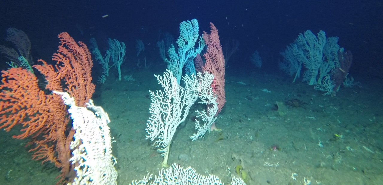
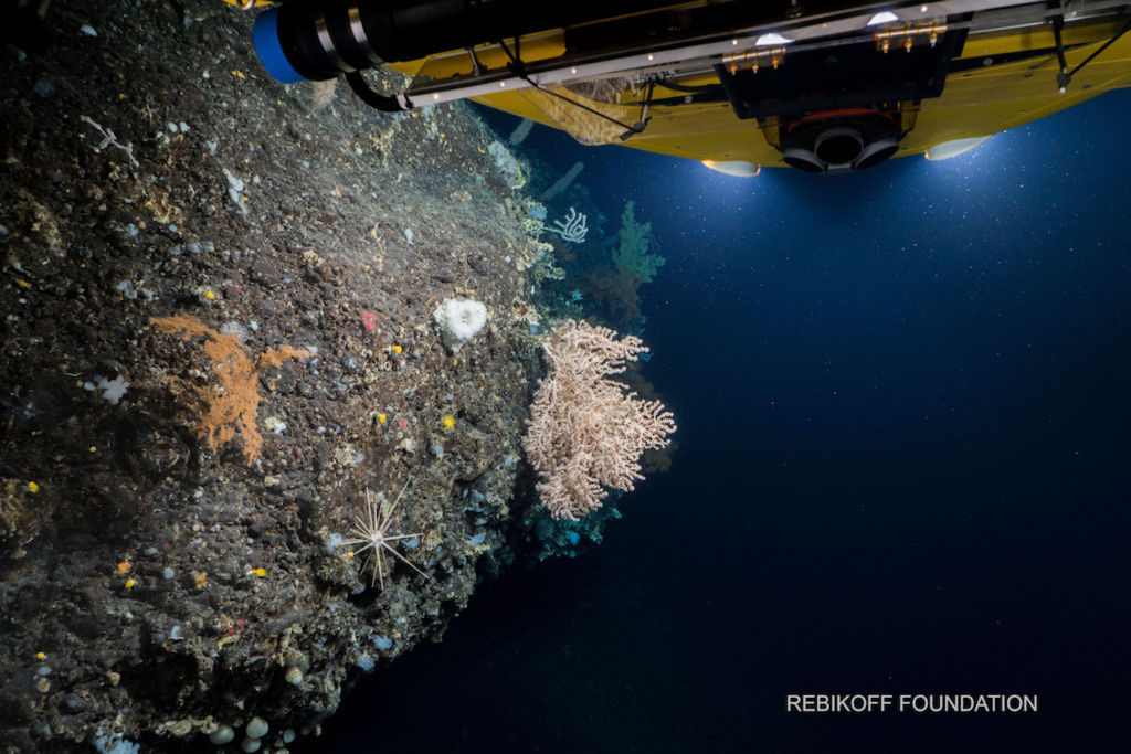
The Azores Planning Site will adopt management goals and objectives for the development of the systematic conservation planning scenarios for the deep-waters of the Azores EEZ, based on the broad overarching mission statement of protecting natural diversity, ecosystem structure, function, connectivity and resilience of deep-sea communities in the Azores EEZ in a changing planet, while allowing the environmentally sustainable use of natural resources for current and future generations. For this, MarinePlan will contribute to fill some of the identified knowledge gaps and use the extensive data gathered over the last years (e.g., through the H2020 projects ATLAS and iAtlantic) along with systematic conservation planning tools (e.g., Marxan implemented with PrioritizeR) to develop multiple EB-MSP scenarios to inform the selection of 30% of the planning area that are better suited to achieve the goals and objectives, and the selection of 10% of the area for strict protection. Additionally, MarinePlan will use spatial ecosystem-based modelling tools (Ecopath, Ecosim and Ecospace) to evaluate the positive and negative effects of implementing different scenarios of strict protection. MarinePlan scenarios will be of particular interest for the Regional Government of the Azores and relevant stakeholders and will support the implementation the EU Biodiversity Strategy for 2030 at regional scales.
One of today’s most pressing challenges is to safeguard the loss of ecosystem biodiversity and functioning, while simultaneously allowing for their exploitation by those who depend on their services, goods and benefits. In Europe, Maritime Spatial Planning (MSP) is the main governance process to ideally integrate sustainability and exploitation but this requires tools and knowledge to align MSP and marine protected area (MPA) designation processes. Founded on a large amount of expertise and a solid theoretical basis, MarinePlan will co-develop with stakeholders a Decision Support System (DSS) for ecosystem-based maritime spatial planning (EB-MSP) together with best practice guidance to enhance the effectiveness of spatial conservation and restoration measures for marine biodiversity in European Seas. The MarinePlan objectives are fully measurable, validated and verifiable since each will produce specific outputs: 1) a comprehensive DSS comprising guidelines and tools for EB-MSP implementation together with best practice guidance; 2) operational EBSA criteria and proposed MPA networks at various scales based on the best available science; 3) examples of realistic scenarios and planning options prioritising conservation and restoration areas in the context of multiple human uses and climate change and a synthesis of key action points to achieve the EU Biodiversity Strategy, and 4) policy recommendations on how to enhance the implementation of EB-MSP in European Seas.
Our Team's role
We lead the Azores Case study in MarinePlan to update multiple Ecosystem-based Marine Spatial Planning Scenarios and inform the selection of 30% of the planning area that are better suited to achieve specific management goals and objectives. We also developed scenarios for the selection of 10% of the area for strict protection. We also contributed to many of the MarinePlan workpackages.
Main results












 ATLAS
A transatlantic assessment and deep-water ecosystem-based spatial management plan for Europe
Funded by European Union’s Horizon 2020
ATLAS
A transatlantic assessment and deep-water ecosystem-based spatial management plan for Europe
Funded by European Union’s Horizon 2020
 Blue Azores
Blue Paper Cooperation protocol
Funded by Fundação Oceano Azul
Blue Azores
Blue Paper Cooperation protocol
Funded by Fundação Oceano Azul
 iAtlantic
Integrated Assessment of Atlantic Marine Ecosystems in Space and Time
Funded by European Union’s Horizon 2020
iAtlantic
Integrated Assessment of Atlantic Marine Ecosystems in Space and Time
Funded by European Union’s Horizon 2020
 iMAR
Integrated assessment of the distribution of Vulnerable Marine Ecosystem along the Mid-Atlantic Ridge in the Azores region
Funded by European Union’s Horizon 2020
iMAR
Integrated assessment of the distribution of Vulnerable Marine Ecosystem along the Mid-Atlantic Ridge in the Azores region
Funded by European Union’s Horizon 2020
 MapGES
Mapping deep-sea biodiversity and “Good Environmental Status” in the Azores: assisting with the implementation of EU Marine Strategy Framework Directive
Funded by Regional Government of the Azores, PO Açores 2020, European Regional Development Fund (ERDF / FEDER)
MapGES
Mapping deep-sea biodiversity and “Good Environmental Status” in the Azores: assisting with the implementation of EU Marine Strategy Framework Directive
Funded by Regional Government of the Azores, PO Açores 2020, European Regional Development Fund (ERDF / FEDER)
 MapGES2
Characterization of deep-sea habitats, for its mapping up to the outer limit of the Azores sub-area of the Portuguese Exclusive Economic Zone
Funded by Regional Government of the Azores, EU, ACORES-14-62G4-FEDER-000001, PO Açores 2020, REACT-EU, ERDF
MarinePlan
Improved transdisciplinary science for effective ecosystem-based maritime spatial planning and conservation in European Seas
Funded by European Union’s Horizon Europe
MapGES2
Characterization of deep-sea habitats, for its mapping up to the outer limit of the Azores sub-area of the Portuguese Exclusive Economic Zone
Funded by Regional Government of the Azores, EU, ACORES-14-62G4-FEDER-000001, PO Açores 2020, REACT-EU, ERDF
MarinePlan
Improved transdisciplinary science for effective ecosystem-based maritime spatial planning and conservation in European Seas
Funded by European Union’s Horizon Europe
 MERCES
Marine Ecosystem Restoration in Changing European Seas
Funded by European Union’s Horizon 2020
MERCES
Marine Ecosystem Restoration in Changing European Seas
Funded by European Union’s Horizon 2020
 REDRESS
Restoration of deep-sea habitats to rebuild European Seas
Funded by European Union’s Horizon Europe
iAtlantic
Integrated Assessment of Atlantic Marine Ecosystems in Space and Time
Funded by European Union’s Horizon 2020
MapGES
Mapping deep-sea biodiversity and “Good Environmental Status” in the Azores: assisting with the implementation of EU Marine Strategy Framework Directive
Funded by Regional Government of the Azores, PO Açores 2020, European Regional Development Fund (ERDF / FEDER)
MapGES2
Characterization of deep-sea habitats, for its mapping up to the outer limit of the Azores sub-area of the Portuguese Exclusive Economic Zone
Funded by Regional Government of the Azores, EU, ACORES-14-62G4-FEDER-000001, PO Açores 2020, REACT-EU, ERDF
MarinePlan
Improved transdisciplinary science for effective ecosystem-based maritime spatial planning and conservation in European Seas
Funded by European Union’s Horizon Europe
MERCES
Marine Ecosystem Restoration in Changing European Seas
Funded by European Union’s Horizon 2020
MapGES
Mapping deep-sea biodiversity and “Good Environmental Status” in the Azores: assisting with the implementation of EU Marine Strategy Framework Directive
Funded by Regional Government of the Azores, PO Açores 2020, European Regional Development Fund (ERDF / FEDER)
MapGES2
Characterization of deep-sea habitats, for its mapping up to the outer limit of the Azores sub-area of the Portuguese Exclusive Economic Zone
Funded by Regional Government of the Azores, EU, ACORES-14-62G4-FEDER-000001, PO Açores 2020, REACT-EU, ERDF
MarinePlan
Improved transdisciplinary science for effective ecosystem-based maritime spatial planning and conservation in European Seas
Funded by European Union’s Horizon Europe
REDRESS
Restoration of deep-sea habitats to rebuild European Seas
Funded by European Union’s Horizon Europe
iAtlantic
Integrated Assessment of Atlantic Marine Ecosystems in Space and Time
Funded by European Union’s Horizon 2020
MapGES
Mapping deep-sea biodiversity and “Good Environmental Status” in the Azores: assisting with the implementation of EU Marine Strategy Framework Directive
Funded by Regional Government of the Azores, PO Açores 2020, European Regional Development Fund (ERDF / FEDER)
MapGES2
Characterization of deep-sea habitats, for its mapping up to the outer limit of the Azores sub-area of the Portuguese Exclusive Economic Zone
Funded by Regional Government of the Azores, EU, ACORES-14-62G4-FEDER-000001, PO Açores 2020, REACT-EU, ERDF
MarinePlan
Improved transdisciplinary science for effective ecosystem-based maritime spatial planning and conservation in European Seas
Funded by European Union’s Horizon Europe
MERCES
Marine Ecosystem Restoration in Changing European Seas
Funded by European Union’s Horizon 2020
MapGES
Mapping deep-sea biodiversity and “Good Environmental Status” in the Azores: assisting with the implementation of EU Marine Strategy Framework Directive
Funded by Regional Government of the Azores, PO Açores 2020, European Regional Development Fund (ERDF / FEDER)
MapGES2
Characterization of deep-sea habitats, for its mapping up to the outer limit of the Azores sub-area of the Portuguese Exclusive Economic Zone
Funded by Regional Government of the Azores, EU, ACORES-14-62G4-FEDER-000001, PO Açores 2020, REACT-EU, ERDF
MarinePlan
Improved transdisciplinary science for effective ecosystem-based maritime spatial planning and conservation in European Seas
Funded by European Union’s Horizon Europe
 ATLAS
A transatlantic assessment and deep-water ecosystem-based spatial management plan for Europe
Funded by European Union’s Horizon 2020
iAtlantic
Integrated Assessment of Atlantic Marine Ecosystems in Space and Time
Funded by European Union’s Horizon 2020
MapGES
Mapping deep-sea biodiversity and “Good Environmental Status” in the Azores: assisting with the implementation of EU Marine Strategy Framework Directive
Funded by Regional Government of the Azores, PO Açores 2020, European Regional Development Fund (ERDF / FEDER)
MarinePlan
Improved transdisciplinary science for effective ecosystem-based maritime spatial planning and conservation in European Seas
Funded by European Union’s Horizon Europe
ATLAS
A transatlantic assessment and deep-water ecosystem-based spatial management plan for Europe
Funded by European Union’s Horizon 2020
iAtlantic
Integrated Assessment of Atlantic Marine Ecosystems in Space and Time
Funded by European Union’s Horizon 2020
MapGES
Mapping deep-sea biodiversity and “Good Environmental Status” in the Azores: assisting with the implementation of EU Marine Strategy Framework Directive
Funded by Regional Government of the Azores, PO Açores 2020, European Regional Development Fund (ERDF / FEDER)
MarinePlan
Improved transdisciplinary science for effective ecosystem-based maritime spatial planning and conservation in European Seas
Funded by European Union’s Horizon Europe

 ATLAS
A transatlantic assessment and deep-water ecosystem-based spatial management plan for Europe
Funded by European Union’s Horizon 2020
ATLAS
A transatlantic assessment and deep-water ecosystem-based spatial management plan for Europe
Funded by European Union’s Horizon 2020
 CoralFISH
Assessment of the interaction between corals, fish and fisheries, in order to develop monitoring and predictive modelling tools for ecosystem based management in the deep waters of Europe and beyond
Funded by European Union’s FP7
CoralFISH
Assessment of the interaction between corals, fish and fisheries, in order to develop monitoring and predictive modelling tools for ecosystem based management in the deep waters of Europe and beyond
Funded by European Union’s FP7
 DeepWalls
Exploring pristine deep-sea walls to establish baselines for Good Environmental Status in the Azores
Funded by Regional Government of the Azores, PO Açores 2020, European Regional Development Fund (ERDF / FEDER)
DeepWalls
Exploring pristine deep-sea walls to establish baselines for Good Environmental Status in the Azores
Funded by Regional Government of the Azores, PO Açores 2020, European Regional Development Fund (ERDF / FEDER)
 HERMIONE
Hotspot Ecosystem Research and Man’s Impact on European Seas
iAtlantic
Integrated Assessment of Atlantic Marine Ecosystems in Space and Time
Funded by European Union’s Horizon 2020
MapGES
Mapping deep-sea biodiversity and “Good Environmental Status” in the Azores: assisting with the implementation of EU Marine Strategy Framework Directive
Funded by Regional Government of the Azores, PO Açores 2020, European Regional Development Fund (ERDF / FEDER)
MarinePlan
Improved transdisciplinary science for effective ecosystem-based maritime spatial planning and conservation in European Seas
Funded by European Union’s Horizon Europe
MERCES
Marine Ecosystem Restoration in Changing European Seas
Funded by European Union’s Horizon 2020
HERMIONE
Hotspot Ecosystem Research and Man’s Impact on European Seas
iAtlantic
Integrated Assessment of Atlantic Marine Ecosystems in Space and Time
Funded by European Union’s Horizon 2020
MapGES
Mapping deep-sea biodiversity and “Good Environmental Status” in the Azores: assisting with the implementation of EU Marine Strategy Framework Directive
Funded by Regional Government of the Azores, PO Açores 2020, European Regional Development Fund (ERDF / FEDER)
MarinePlan
Improved transdisciplinary science for effective ecosystem-based maritime spatial planning and conservation in European Seas
Funded by European Union’s Horizon Europe
MERCES
Marine Ecosystem Restoration in Changing European Seas
Funded by European Union’s Horizon 2020
 MIDAS
Managing Impacts of Deep-seA reSource exploitation
Funded by European Union’s FP7
MIDAS
Managing Impacts of Deep-seA reSource exploitation
Funded by European Union’s FP7
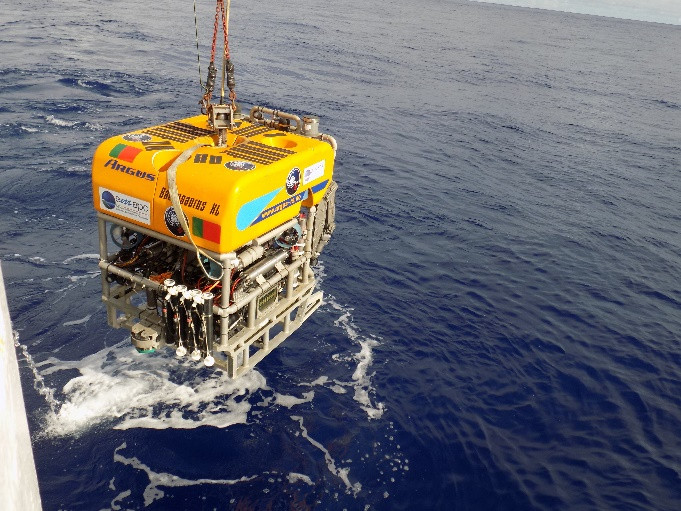 BIOMETORE 2015
 to the Great Meteor Complex seamounts
BIOMETORE 2015
BIOMETORE 2015 to the Great Meteor Complex seamounts
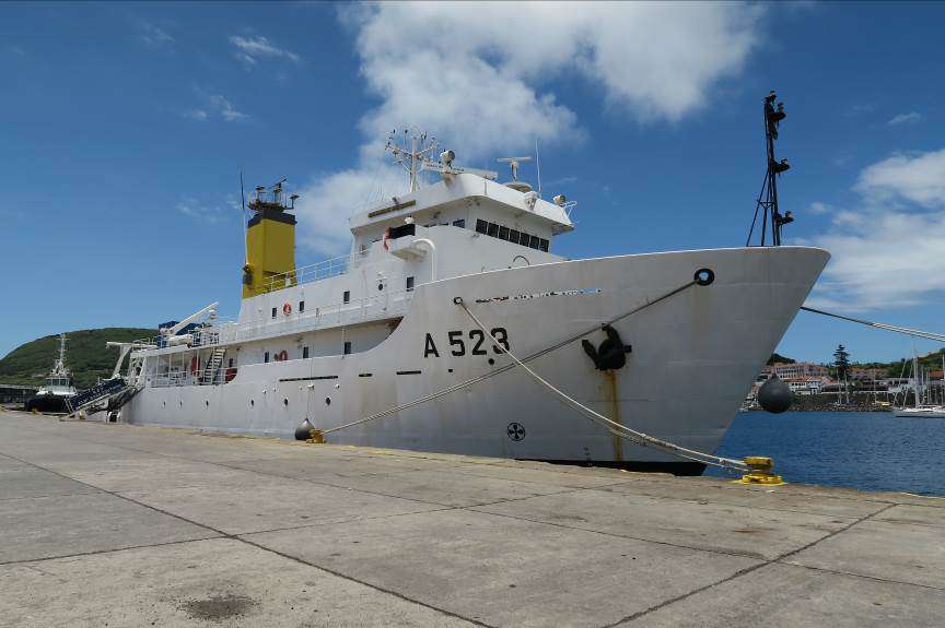 Blue Azores 2018
Blue Azores Program: Expedition 2018
Blue Azores 2018
Blue Azores Program: Expedition 2018
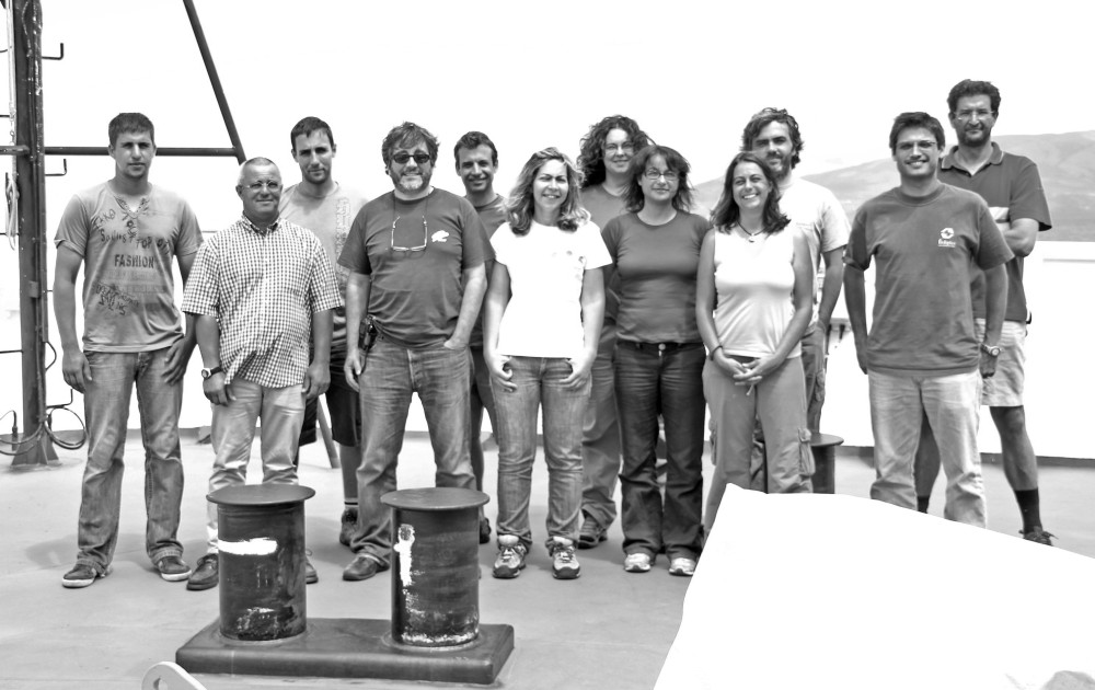 CoralFISH 2010
CoralFish cruise to Condor, Voador and Banco Açores 2010
CoralFISH 2010
CoralFish cruise to Condor, Voador and Banco Açores 2010
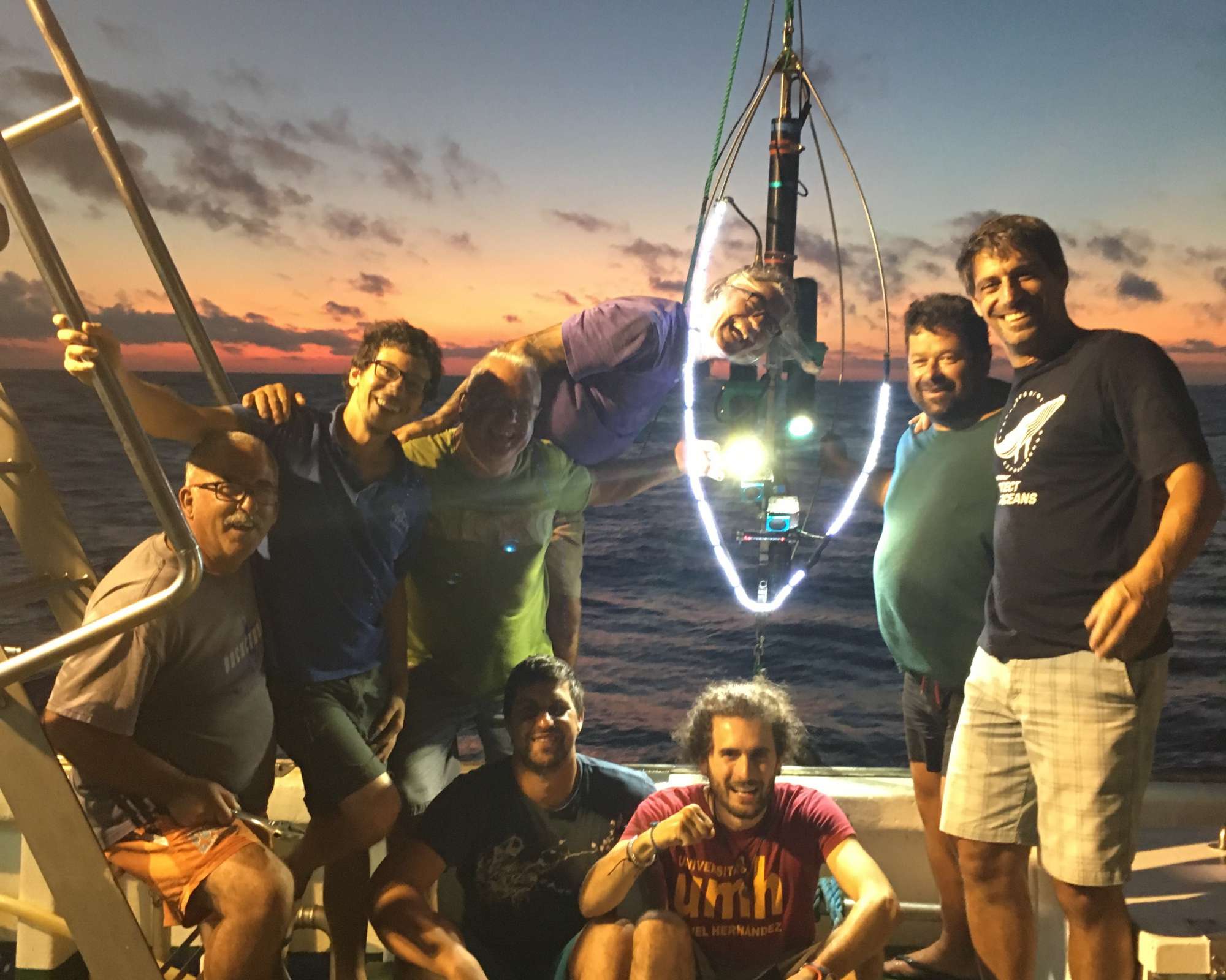 MapGES 2019
Mapping deep-sea biodiversity and “Good Environmental Status” in the Azores
MapGES 2019
Mapping deep-sea biodiversity and “Good Environmental Status” in the Azores
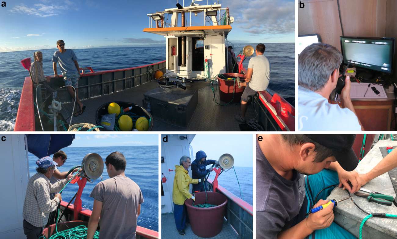 MapGES 2020
Mapping deep-sea biodiversity and “Good Environmental Status” in the Azores
MapGES 2020
Mapping deep-sea biodiversity and “Good Environmental Status” in the Azores
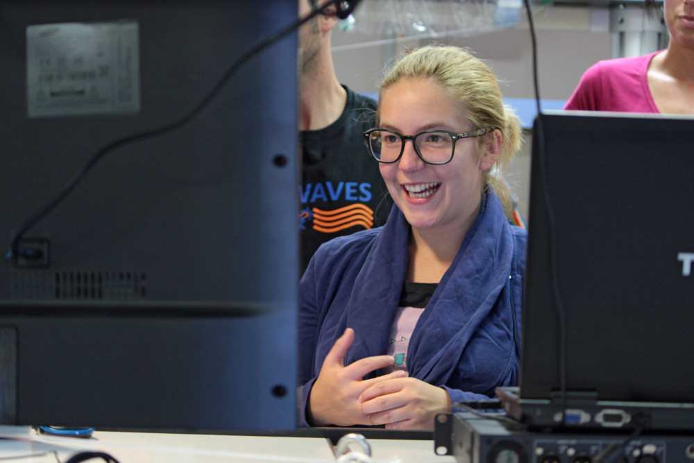 MedWaves 2016
MEDiterranean out flow WAter and Vulnerable EcosystemS
MedWaves 2016
MEDiterranean out flow WAter and Vulnerable EcosystemS
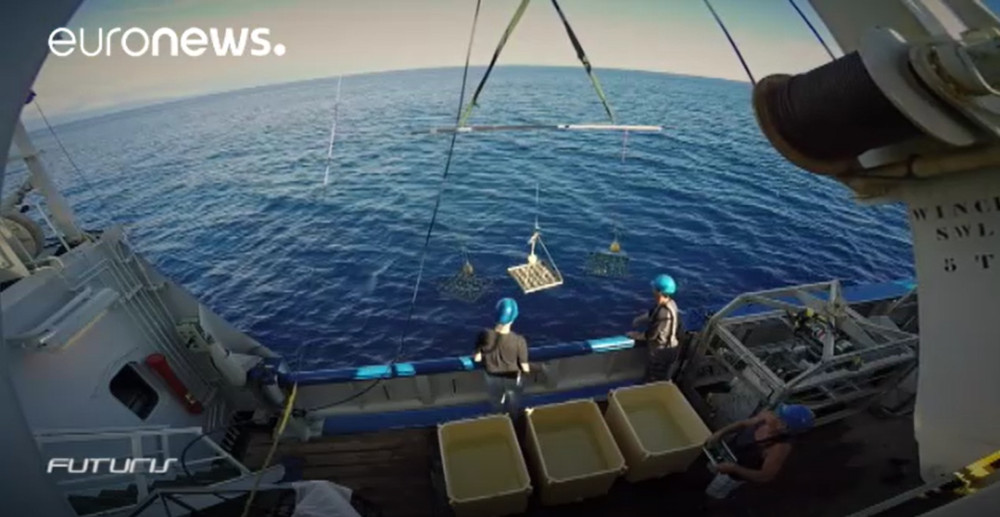 MIDAS 2016
Investigation of Field Protocols for Deep Sea Mining Monitoring and Environmental Impact Assessment
MIDAS 2016
Investigation of Field Protocols for Deep Sea Mining Monitoring and Environmental Impact Assessment
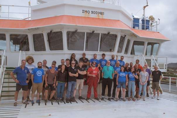 NICO Leg 12 2018
RV Pelagia cruise 64PE441: Rainbow hydrothermal vent, southern MAR, and Terceira 2018
NICO Leg 12 2018
RV Pelagia cruise 64PE441: Rainbow hydrothermal vent, southern MAR, and Terceira 2018
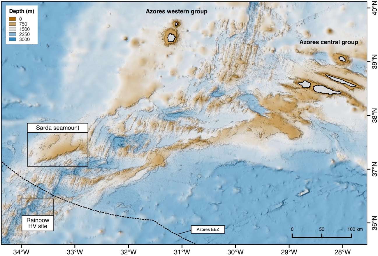 Rainbow 2019
RV Pelagia cruise 64PE454: Rainbow hydrothermal vent and southern MAR 2019
Rainbow 2019
RV Pelagia cruise 64PE454: Rainbow hydrothermal vent and southern MAR 2019
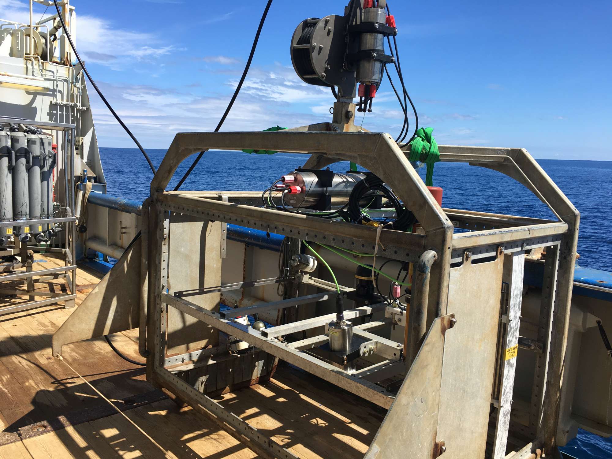 Terceira 2019
RV Pelagia cruise 64PE456: Terceira Island 2019
Terceira 2019
RV Pelagia cruise 64PE456: Terceira Island 2019
MarinePlan Gallery








Location
Departamento de Oceanografia e Pescas — Universidade dos Açores
Rua Prof. Doutor Frederico Machado, No. 4
9901-862 Horta, Portugal
Contact
Email: azoresdeepsea@gmail.com

AZORES DEEP-SEA RESEARCH © 2020-2026 — RELEASE 2.1
 VALTER MEDEIROS