Loading…
Loading…

iMAR
Integrated assessment of the distribution of Vulnerable Marine Ecosystem along the Mid-Atlantic Ridge in the Azores region
iMAR
Loading project…
Integrated assessment of the distribution of Vulnerable Marine Ecosystem along the Mid-Atlantic Ridge in the Azores region
Period: 01 Jan 2021 to 31 Dec 2022
Funding: 1 source(s)
01 Jan 2021 to 31 Dec 2022
European Union's Horizon 2020
Budget: 504,000.00 €
Summary
Integrated assessment of the distribution of Vulnerable Marine Ecosystem along the Mid-Atlantic Ridge in the Azores region
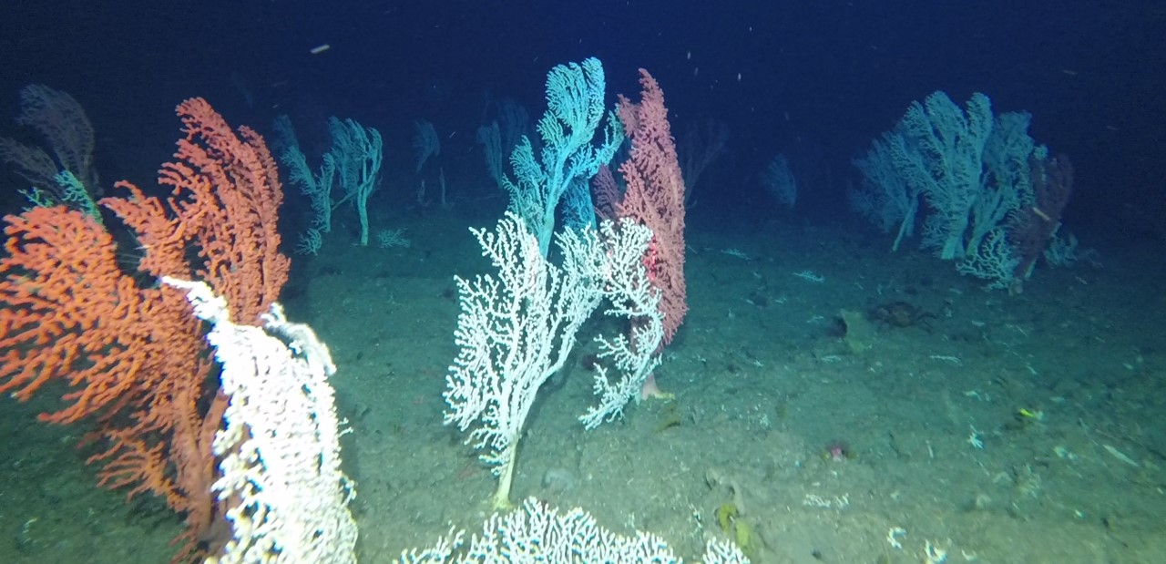
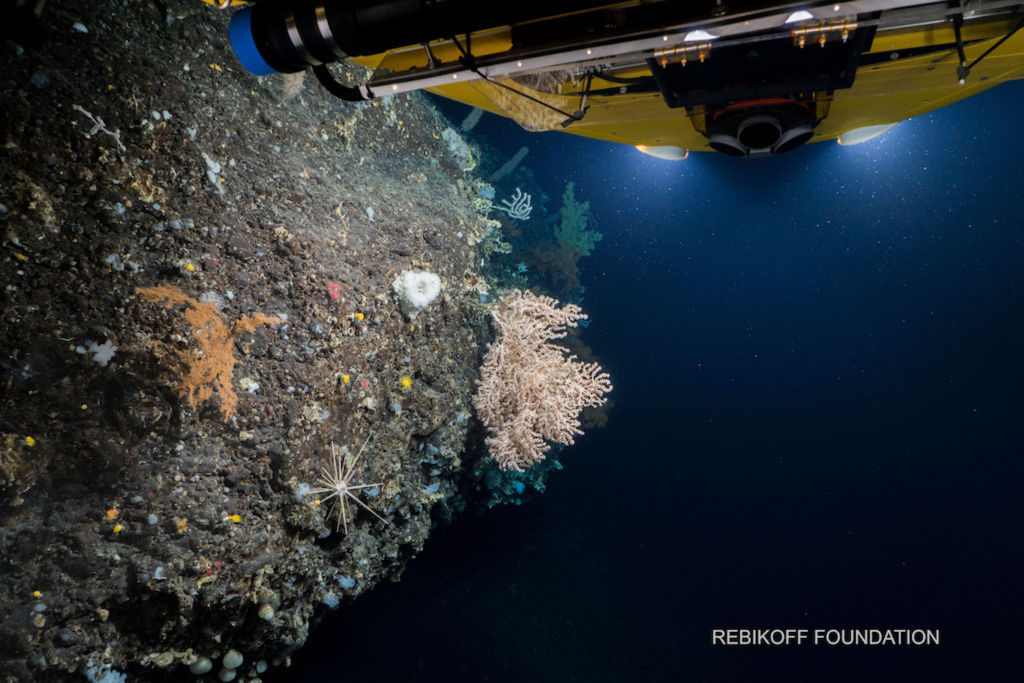
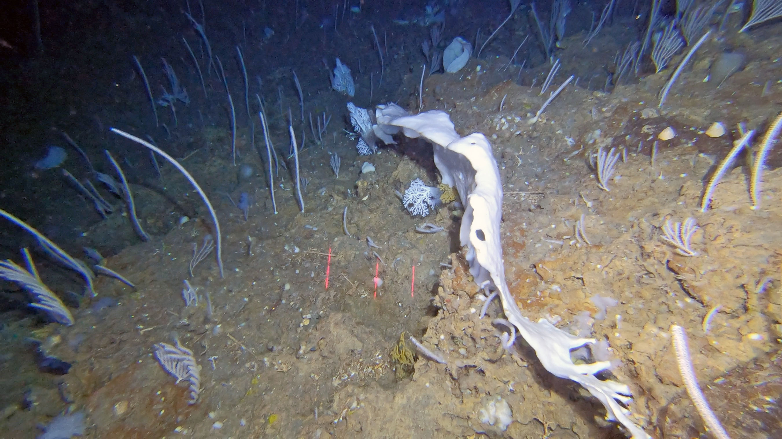
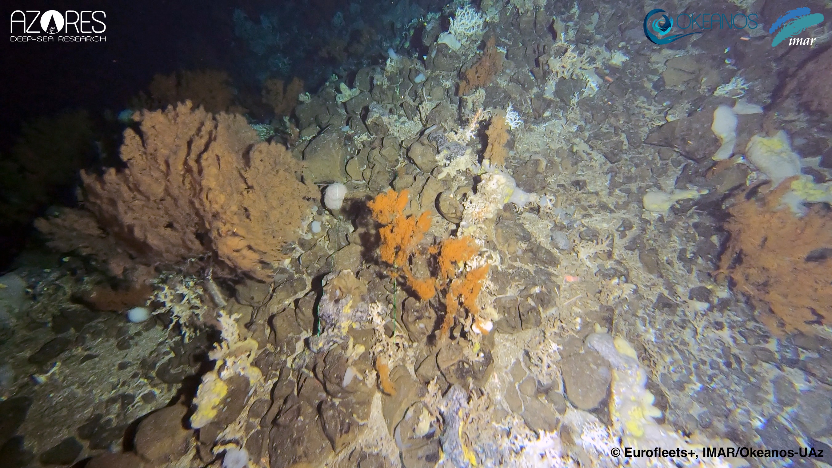
The Mid-Atlantic Ridge (MAR) is the most prominent ocean seafloor feature in the Atlantic Ocean, dividing it into eastern and western deep basins. The unique setting of the Azores, at the triple junction of the European, American and African plates and in close proximity to the ridge, offers an exceptional opportunity to survey the role of the MAR in shaping the distribution of deep-sea megabenthic communities, mostly those considered Vulnerable Marine Ecosystems (VME). The diverse geomorphology and complex oceanography patterns surrounding the Azores has generated an extraordinary diversity of benthic organisms, making this area a hotspot for cold-water corals in the North Atlantic. Latitudinal gradients and dissimilarities between the deep-water coral fauna on both sides of the MAR were noted at local and wider scale studies, raising the question on whether the MAR can represent a boundary for the biological dispersion between the East and West Atlantic. However, there has been considerably few explorations on seamounts, ridges and other topographic features along the MAR. The iMAR cruise proposed to last for 17 days and visit 11 different areas along the MAR. Survey sites have been selected along a latitude gradient of the MAR section within the Portuguese EEZ around the Azores, between 42° and 36° N. On each sampling area, we collected multibeam data for seabed mapping, together with tow camera transects to identify deep-sea benthic communities, water samples for biodiversity analyses through eDNA methods, and sediment samples for biodiversity analyses through faunal studies and eDNA methods, microplastics and analyses of granulometry and physical-chemical studies. Water mass properties were also characterized by sampling seawater and measuring physical-chemical parameters. The results of this exploration contribute to the aims of the H2020 iAtlantic project to understand the factors that control the distribution, stability and vulnerability of deep-sea ecosystems and better inform sustainable management throughout the Atlantic in an era of unprecedented global change. The iMAR cruise also aimed to enhance the predictive capabilities for VMEs, and to inform Good Environmental Status (GES), Marine Spatial Planning (MSP) and provide new insights on how to sustainably manage deep-sea ecosystems in the Mid-Atlantic Ridge. Finally, this cruise contribute to the SEAMAP 2030 (Mapping the Portuguese Sea) program of the Portuguese Hydrographic Institute and to the international Seabed 2030 initiative and the United Nations Decade of Ocean Science for Sustainable Development (2021-2030).
The iMAR project provided state-of-the-art ship time to research groups that lack access to these infrastructures. Funded by the SEA OCEANS program of Eurofleets+ and the H2020 European project iAtlantic, these cruises were led by the Azores Deep-Sea Research Group at the University of the Azores (Portugal). iMAR allowed conducting two flagship expeditions to evaluate the role of the Mid-Atlantic Ridge in shaping the latitudinal and trans-Atlantic patterns in deep-sea biogeography, connectivity and spatial distribution patterns of deep-sea megafauna. Additionally, the cruise aimed to (i) map and characterize deep-sea coral and sponge communities inhabiting unexplored seamounts and ridges in the MAR, around the Azores Region; (ii) identify new areas that fit the FAO’s VME definition; (iii) add to the existing knowledge on the environmental drivers that determine the spatial distribution of deep-sea benthic biodiversity in the MAR and finally (iv) determine the condition of benthic communities by looking at evidence of fishing damage to fauna, presence of lost fishing gear and marine litter.
External video links
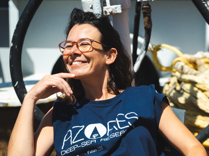
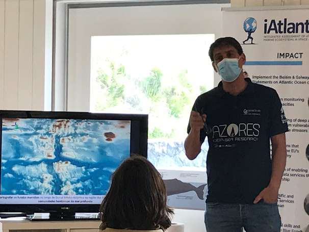
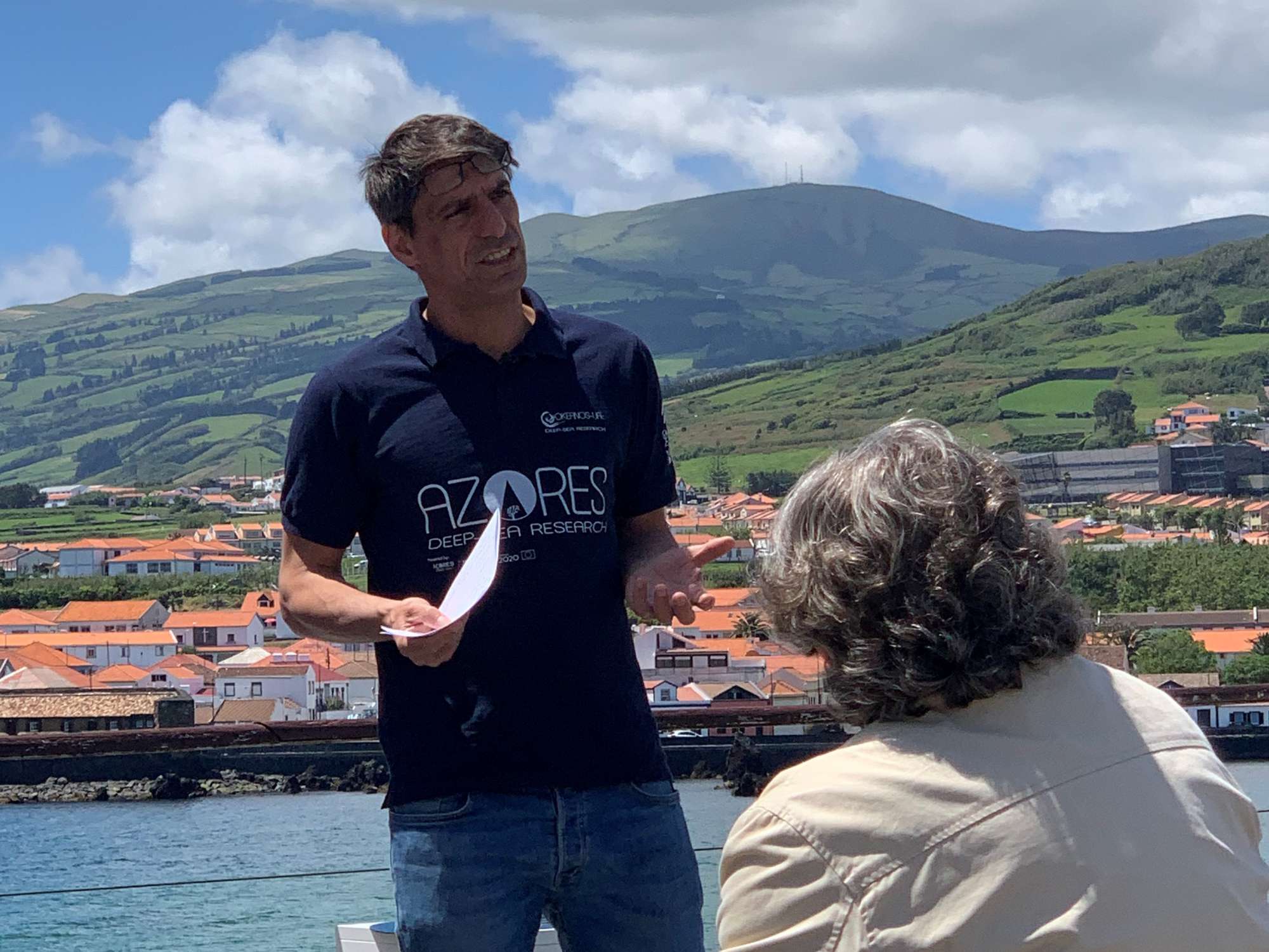
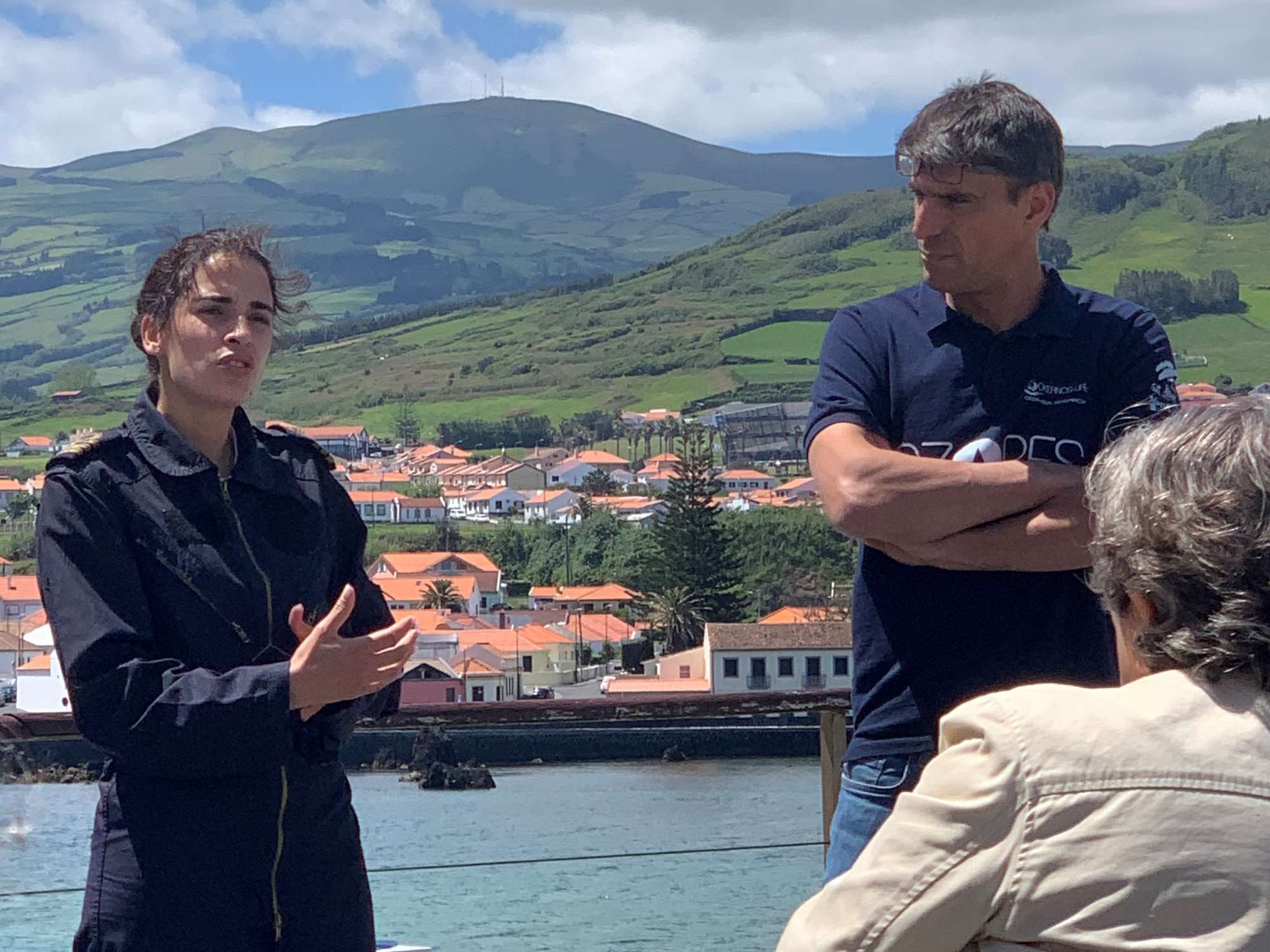
Our Team's role
Project coordination, cruise coordination, chief scientists and crew members of the iMAR 2021 and iMAR 2022 research cruises on board RV Pelagia. We lead the coordination of benthic video surveys, eDNA sampling, and oceanographic data collection to map vulnerable marine ecosystems and assess the environmental drivers of deep-sea biodiversity along the Mid-Atlantic Ridge in the Azores region.
Collaborators
Main results
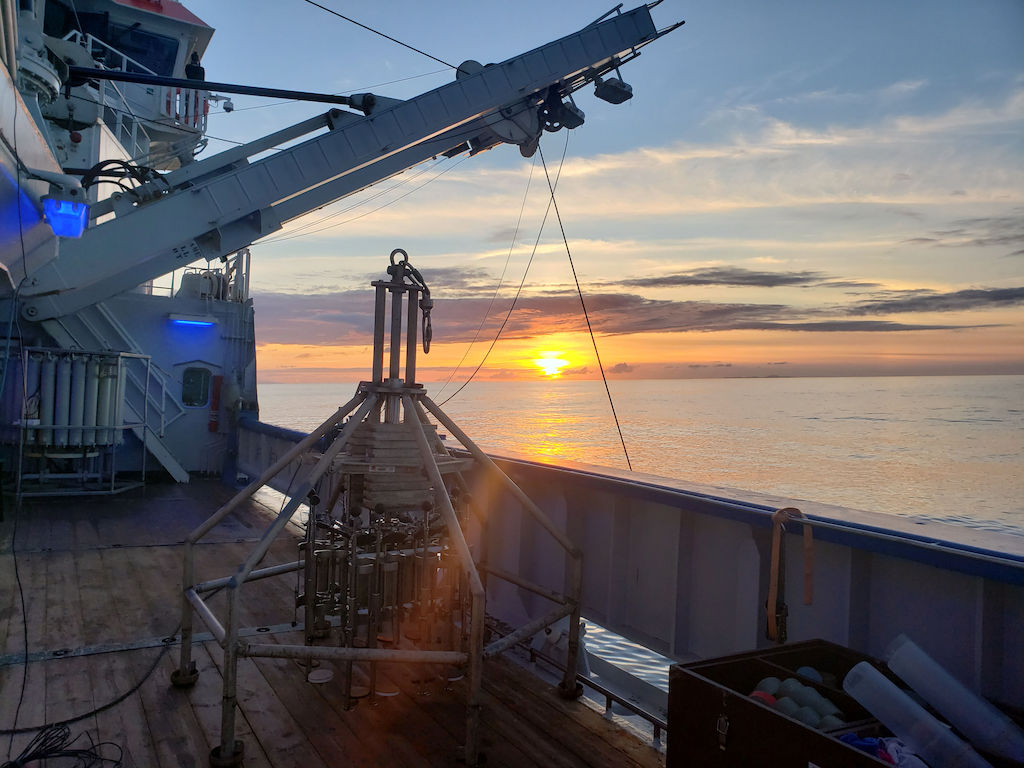
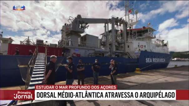
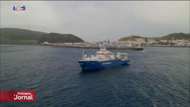
During the iMAR Eurofleets+ project, we conducted to flagship research cruises on board the RV Pelagia of the Royal Netherlands Institute for Sea Research (NIOZ) between May 17th and June 2nd 2021 and between 28th July and 4th August 2022. These expeditions were funded by the SEA OCEANS program of Eurofleets+ and the H2020 European project iAtlantic, and was led by the Azores Deep-Sea Research Group at the University of the Azores (Portugal). We explored under-visited portions of the northern MAR in the Azores region and associated ridges and seamounts between 300 and 1,200 m depth: (1) South Chaucher, (2) unnamed seamount coded as D12, (3) the Kurchatov fracture zone area, including Isolado and D10 seamounts and ridges complex, (4) unnamed seamount West of Oscar seamount coded as D5, (5) the Gigante seamount and ridges complex, and (6) Cavala seamount in 2021; and (1) unnamed seamount (coded B14) and Alfa seamount, (2) ridges around the Menez Gwen hydrothermal vent area, (3) A16 seamount and Cabeçote hills, (4) Sarda N and Sarda NE seamounts, (5) Farpas ridge, and (6) Voador seamount in 2022.


iMAR Gallery


Location
Departamento de Oceanografia e Pescas — Universidade dos Açores
Rua Prof. Doutor Frederico Machado, No. 4
9901-862 Horta, Portugal
Contact
Email: azoresdeepsea@gmail.com
AZORES DEEP-SEA RESEARCH © 2020-2026 — RELEASE 2.1
 VALTER MEDEIROS