ATLAS

A transatlantic assessment and deep-water ecosystem-based spatial management plan for Europe

Logo

ATLAS

Loading project…

A transatlantic assessment and deep-water ecosystem-based spatial management plan for Europe

Reference: 678760 (ATLAS)

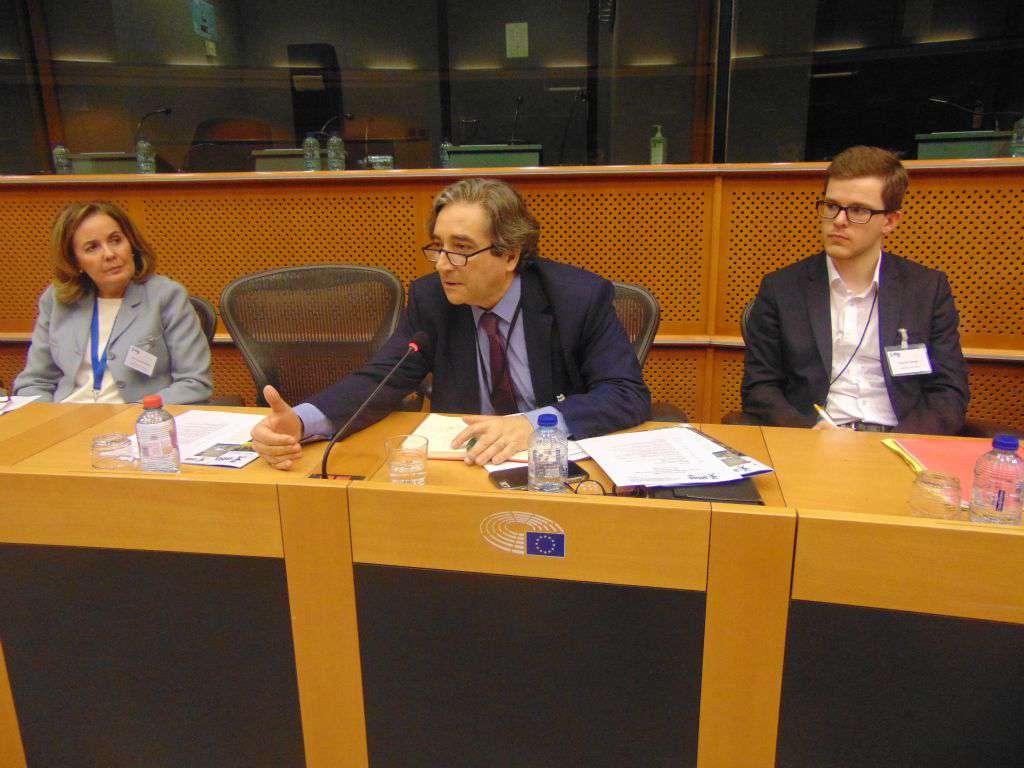
Period: 01 May 2016 to 30 Apr 2020

Funding: European Union’s Horizon 2020

AZORES DEEP-SEA RESEARCH
Project reference

678760 (ATLAS)


Time period

01 May 2016 to 30 Apr 2020


Funding agencies

European Union’s Horizon 2020


Summary

A transatlantic assessment and deep-water ecosystem-based spatial management plan for Europe

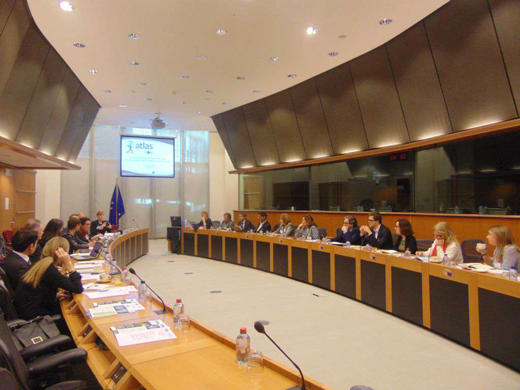
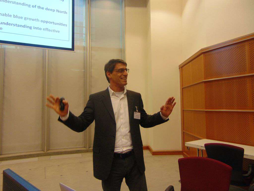
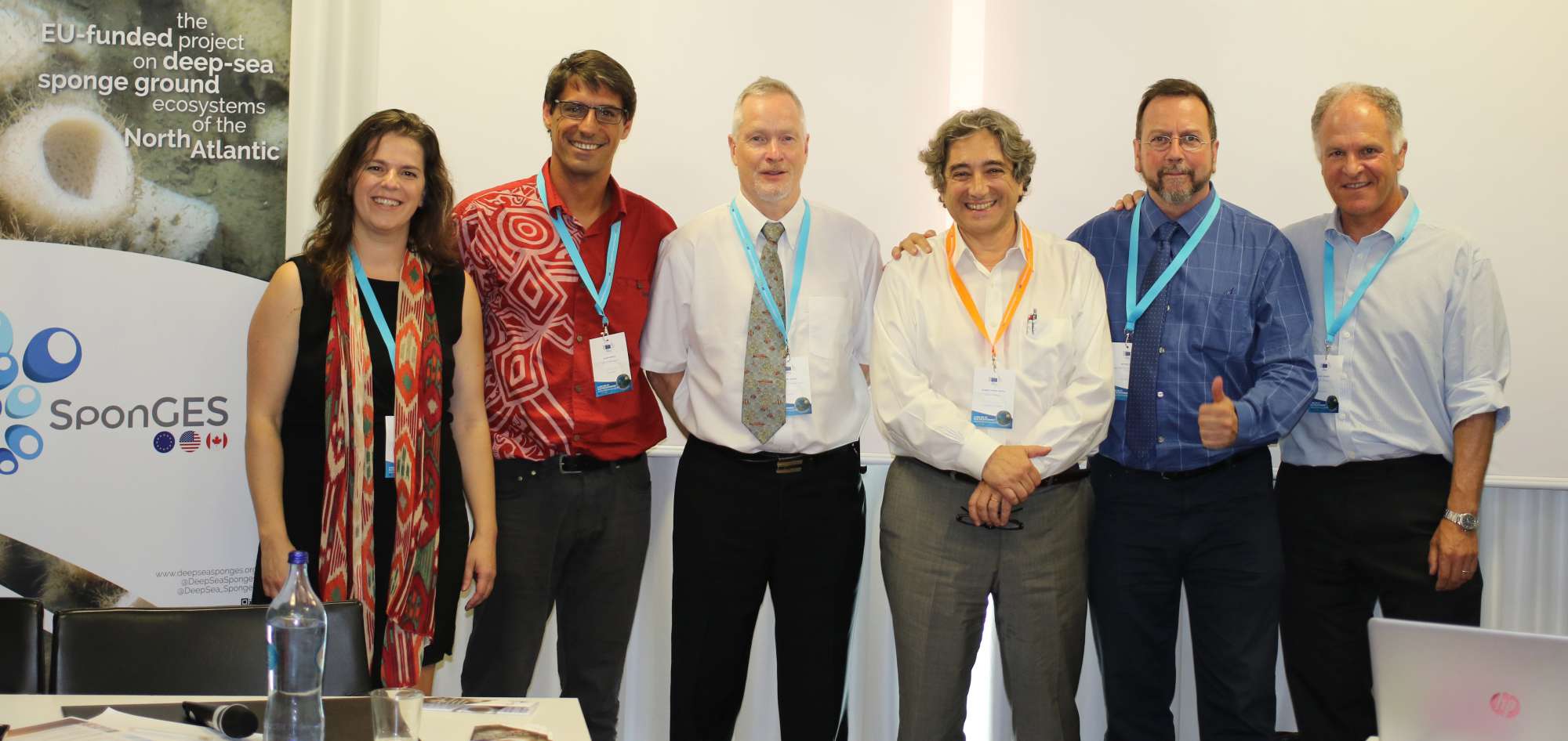
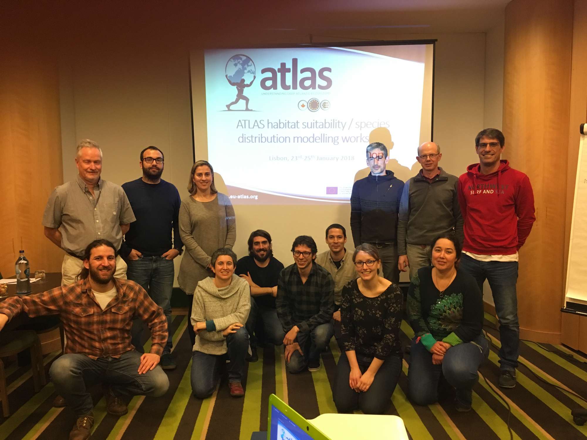
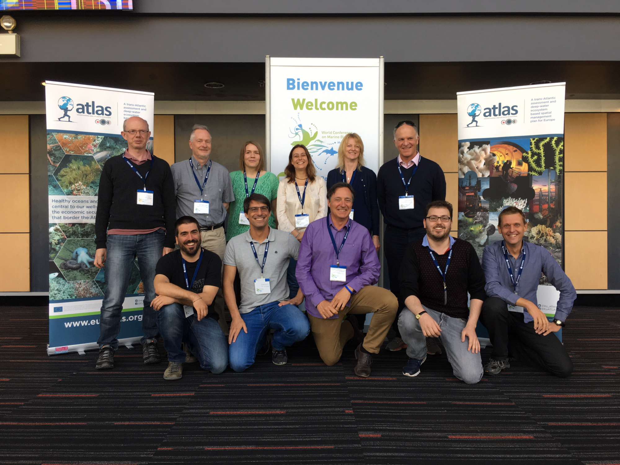
ATLAS will provide essential new knowledge of deep ocean marine ecosystems in the North Atlantic. This ambitious project will explore the world of deep-sea habitats (200- 2000 m) where the greatest gaps in our understanding lie and certain populations and ecosystems are under pressure. The four overarching objectives of ATLAS are to: 1) Advance our understanding of deep Atlantic marine ecosystems and populations; 2) Improve our capacity to monitor, model and predict shifts in deep-water ecosystems and populations; 3) Transform new data, tools and understanding into effective ocean governance; 4) Scenario-test and develop science-led, cost-effective adaptive management strategies that stimulate Blue Growth. The results of the project will inform and facilitate stakeholder agreement on relevant science-led marine policy and regulation to ensure good ecosystem management and sustainable resource exploitation. It will also contribute to the European Commission’s long-term “Blue Growth” strategy to support sustainable growth in the marine and maritime sectors as a whole. The consortium includes 25 multi-stakeholder, multidisciplinary partners from leading organisations with 12 universities, 4 national research institutes, 5 small and medium-sized enterprises, and 4 government agencies across 10 European countries, the USA and Canada.

Changing environmental conditions and human activities have major impacts on the distribution and sustainability of living marine resources. This poses a serious challenge to the business and policy communities seeking to balance societal needs with environmental sustainability. Large-scale ocean observation is needed to improve our understanding of how deep ocean ecosystems function, their roles as reservoirs of biodiversity and genetic resources, and their health under future scenarios of climate change and human use.

Show less ↑
Show more ↓

Videos

Our Team's role

Azores Deep-sea Research

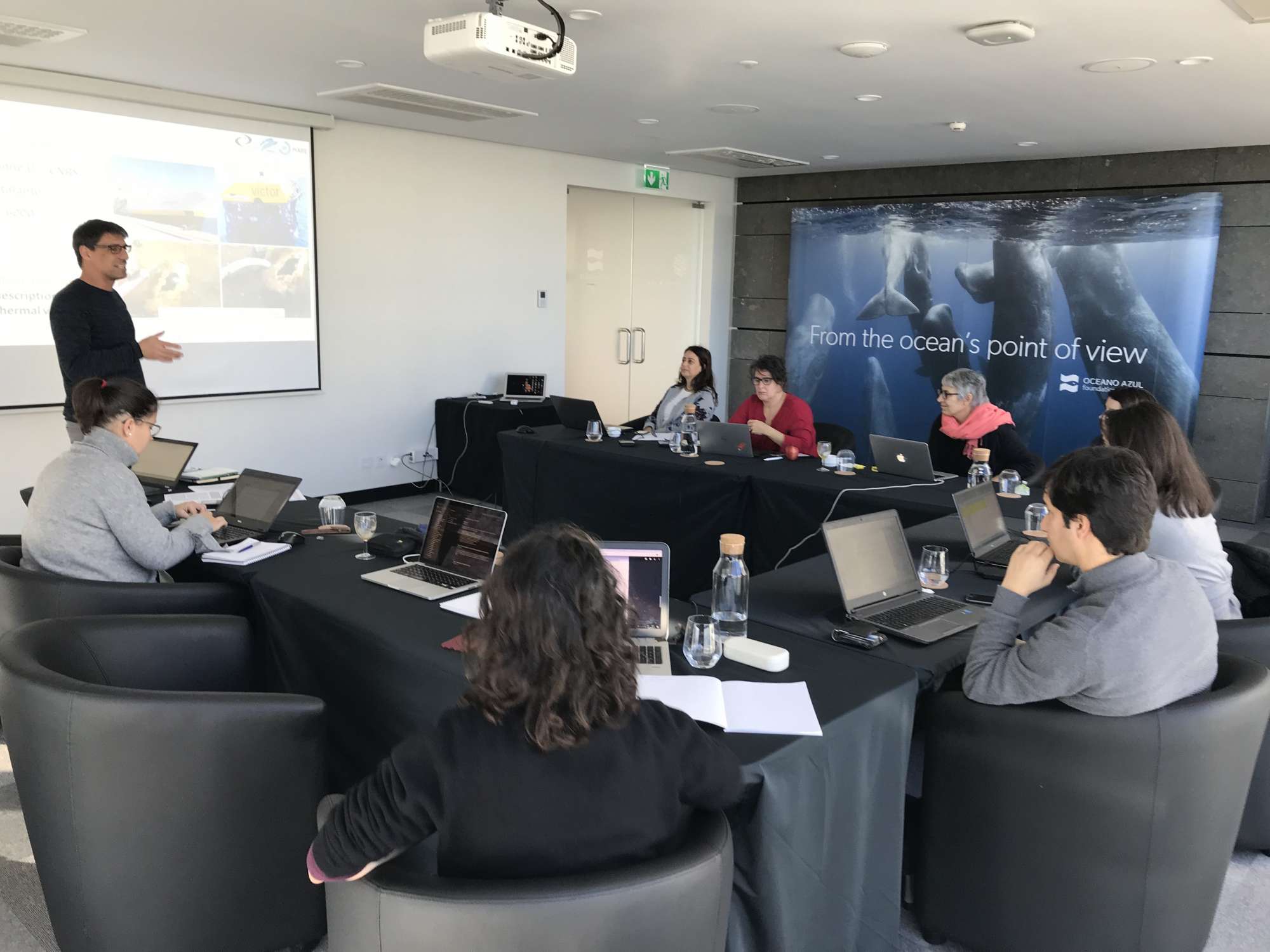
We lead the ATLAS WP3 Biodiversity and Biogeography, lead the case study #8 Azores and participated in many other work packages such as WP2 Functional Ecosystems, WP6 Maritime Spatial Planning, WP7 Policy Integration to Inform Key Agreements, and WP9 Dissemination, Knowledge Transfer and Outreach.

Collaborators

Laurence Fauconnet
Adriana Ressurreição
Jorge Fontes
Gerald Taranto
Íris Sampaio
Maria Rakka
Cristina Gutiérrez
Jordi Blasco

Main results

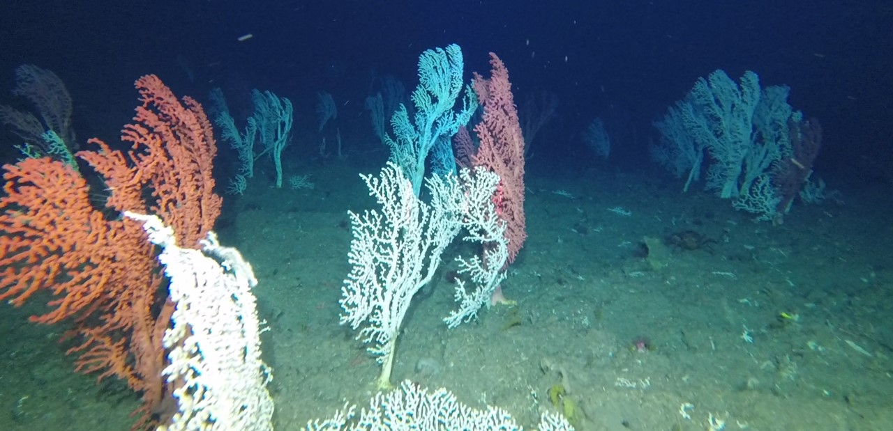
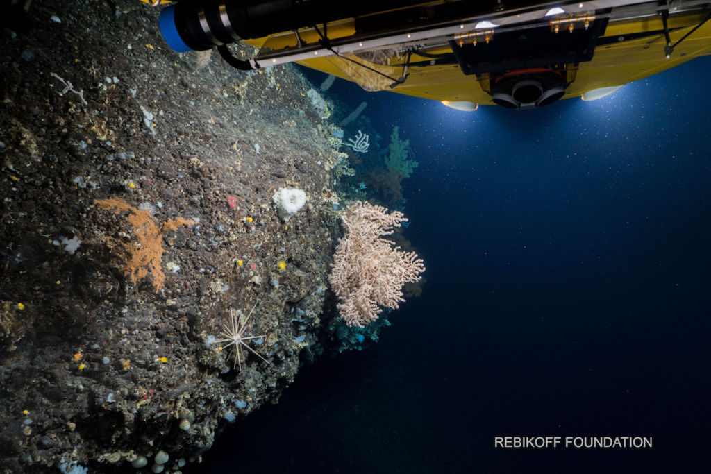
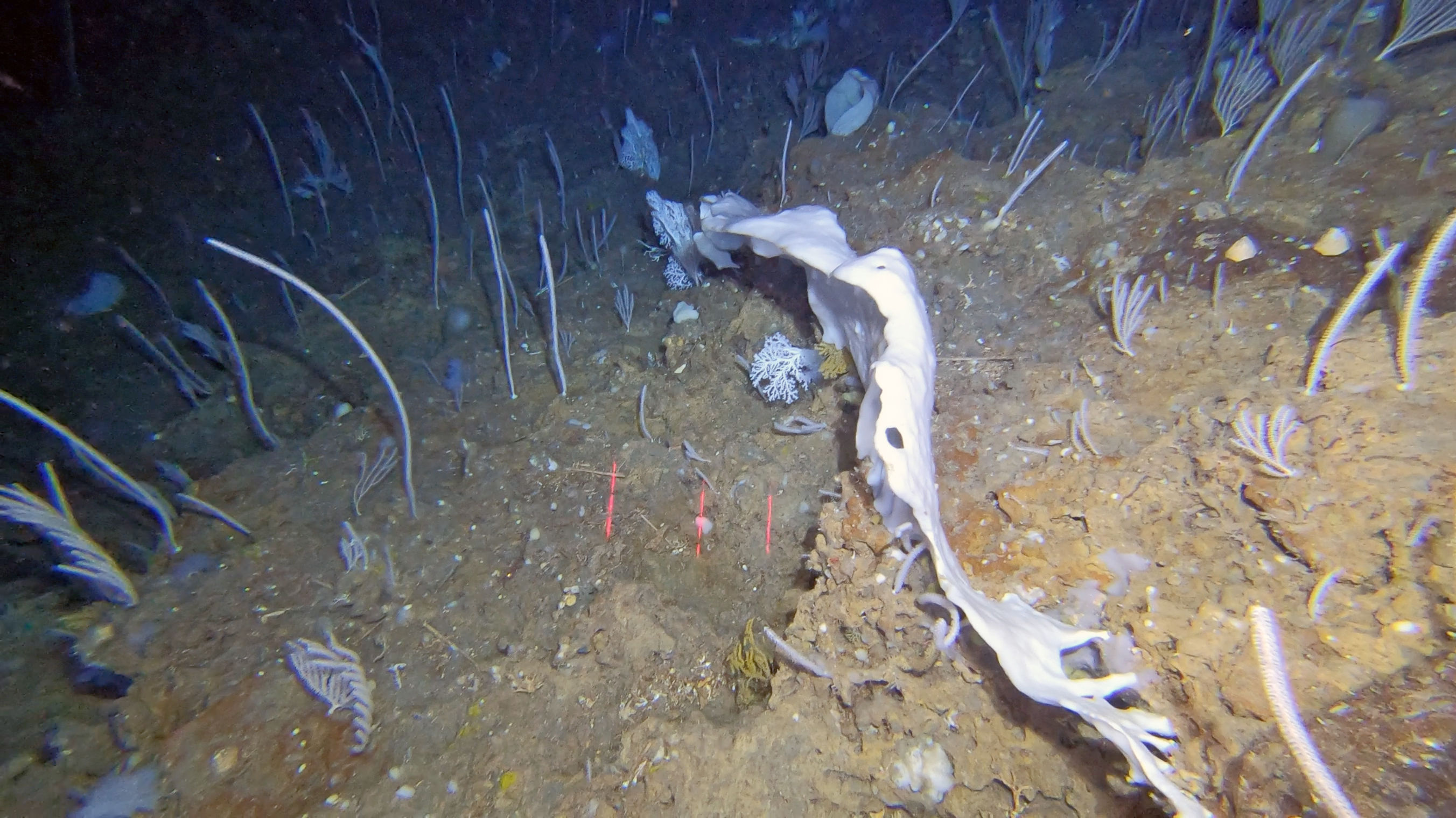
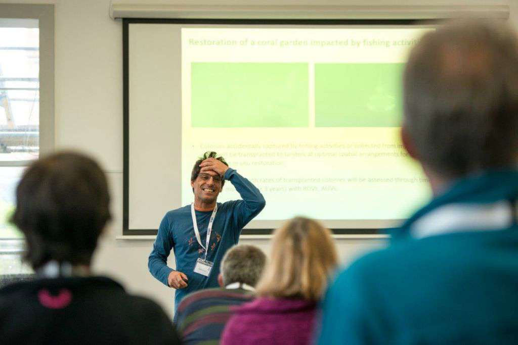
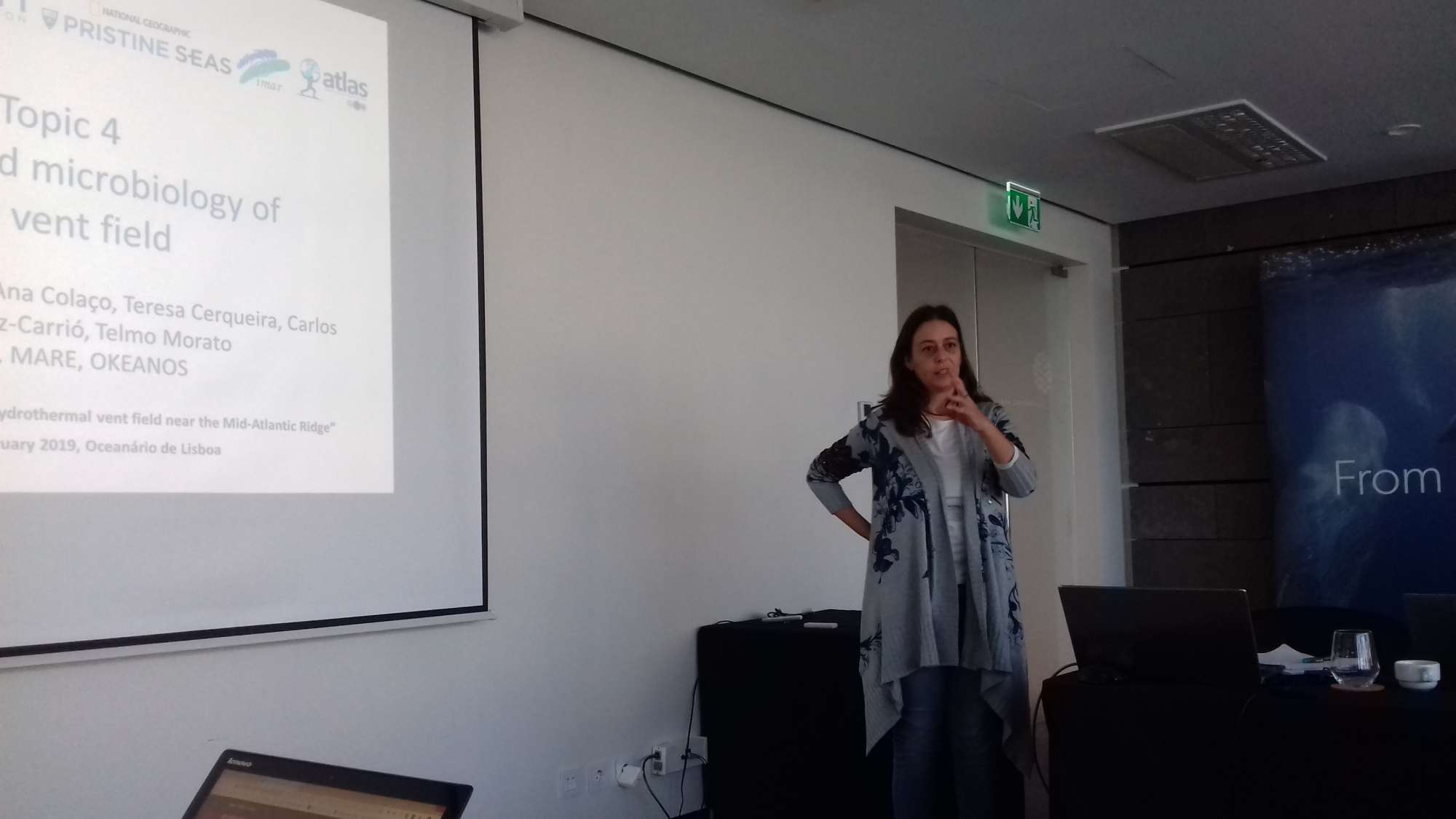
ATLAS advanced our understanding of deep Atlantic marine ecosystems and populations by collecting and integrating high-resolution measurements of ocean circulation with functioning, biological diversity, genetic connectivity, and socioeconomic values. In the Azores, new deep-sea species, new biotopes, new species associations, and even new hydrothermal vent systems have been discovered. We showed that cold-water corals are vulnerable to predicted ocean acidification. Experimental studies combined with meta-analysis on chemical dissolution and biological erosion of coral reefs worldwide showed that the increased dissolution of the coral framework under OA is a key factor determining the future survival of reef ecosystems. Statistical models showed that many VME indicator taxa and commercially important deep-sea fish species might be facing a reduction in the suitable habitat and a northward shift in distribution under future climate change scenarios. We assisted in developing innovative technological solutions for deep-sea research and informed marine policy at the regional, national, European, and international levels.
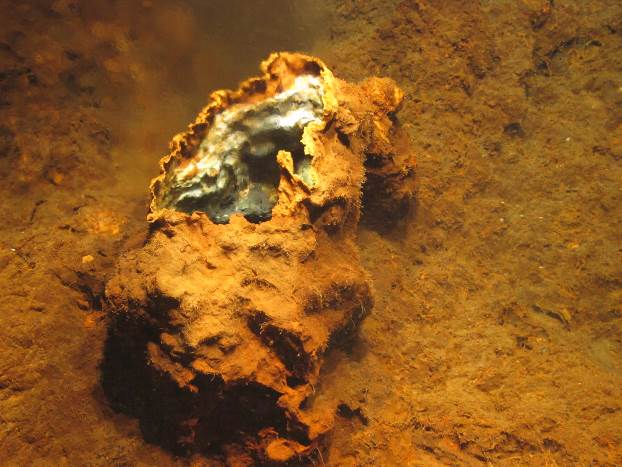
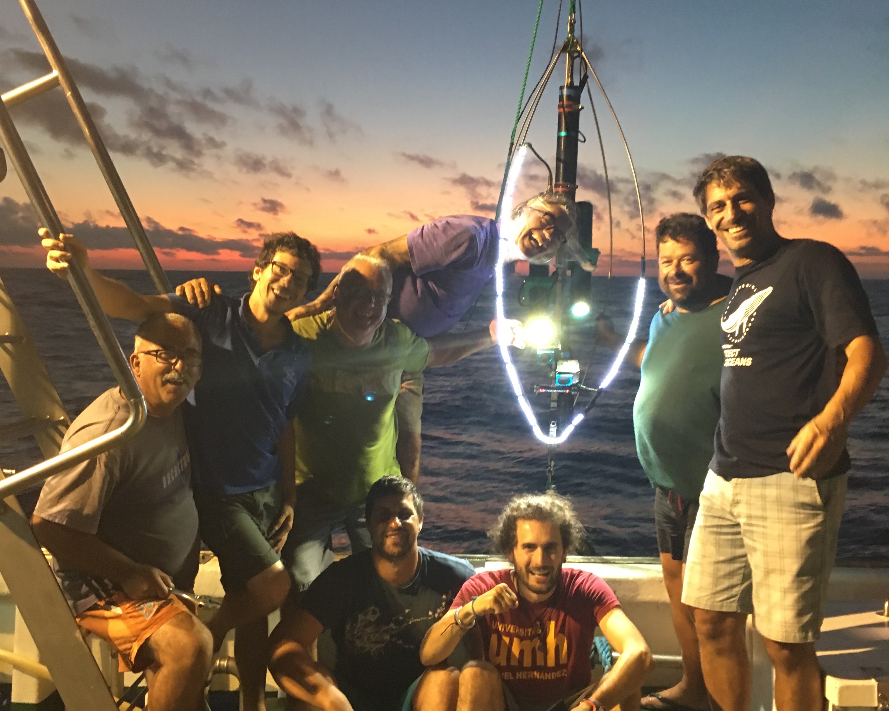
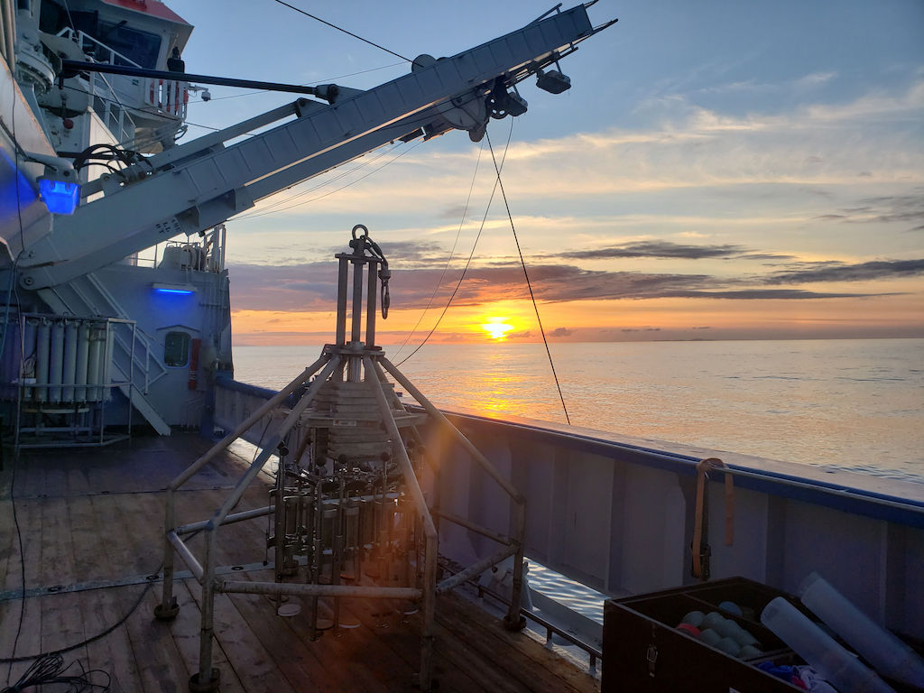
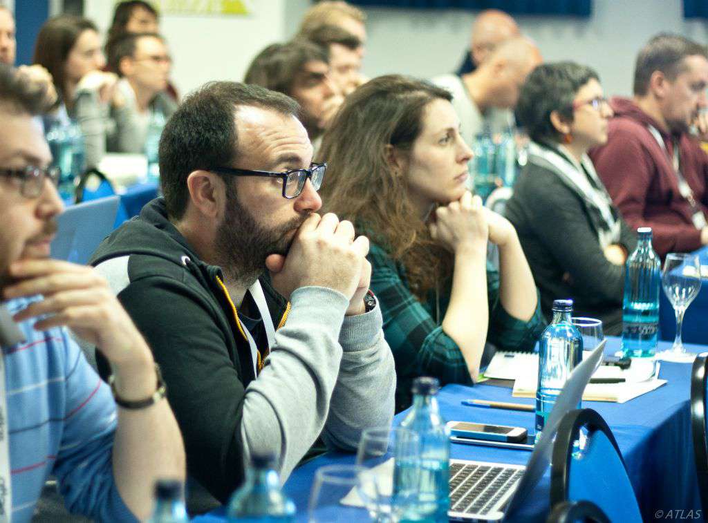
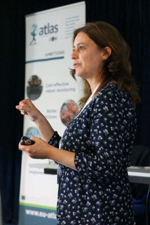
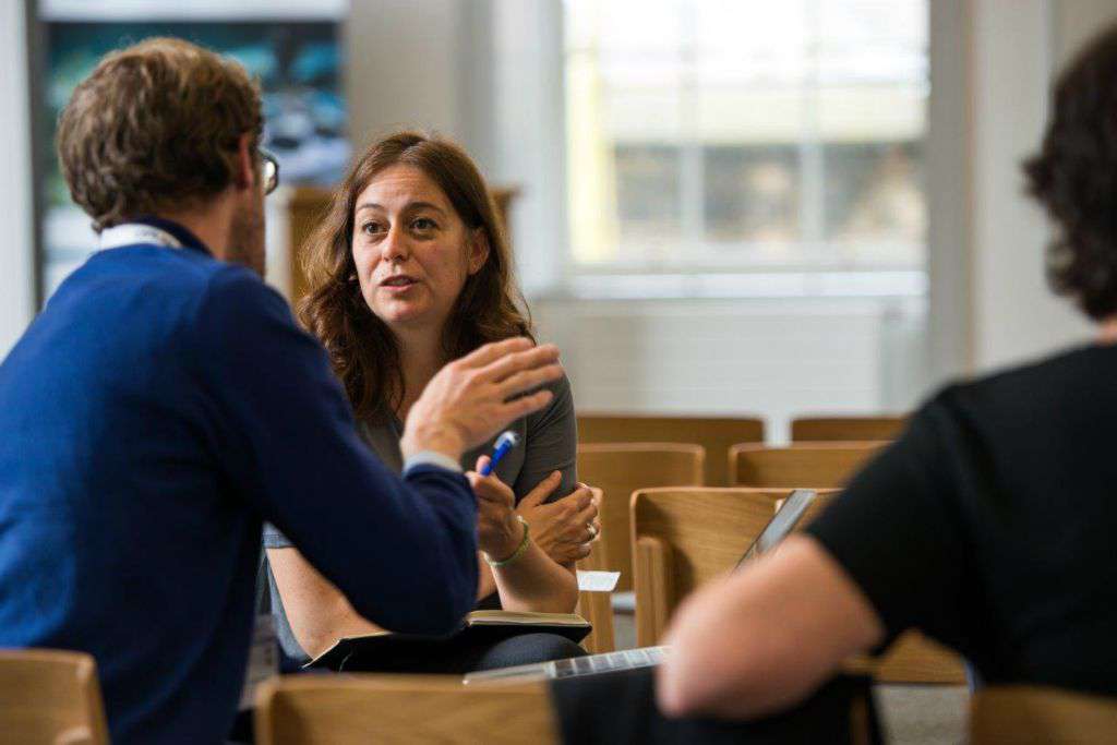
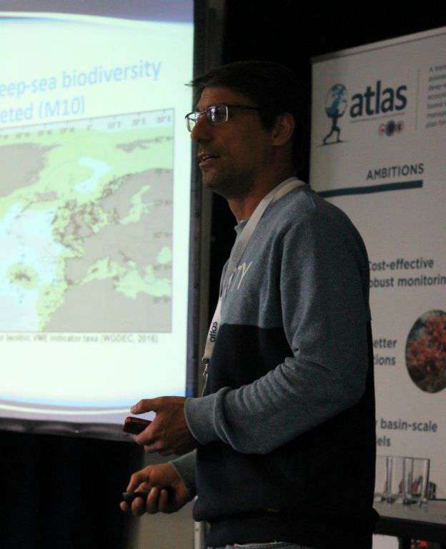
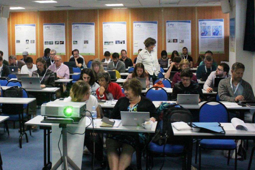
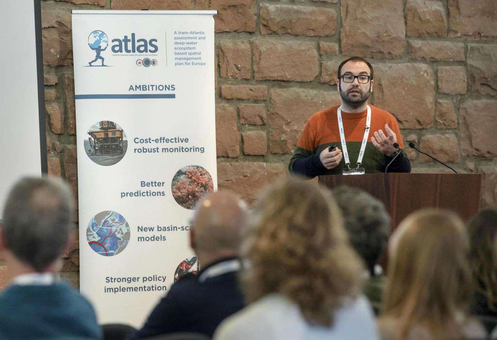
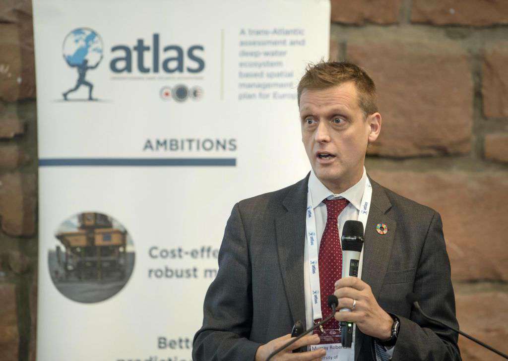
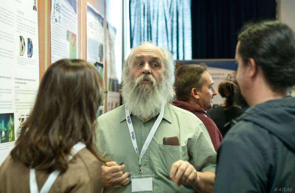
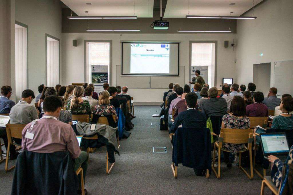
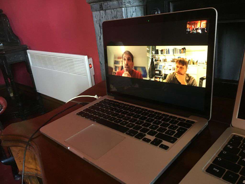
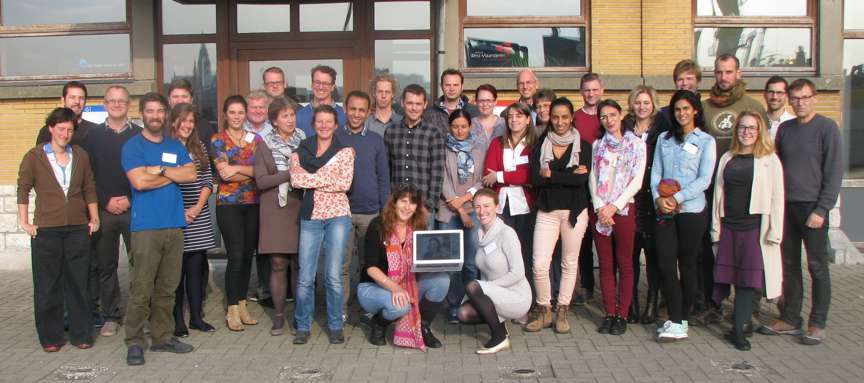
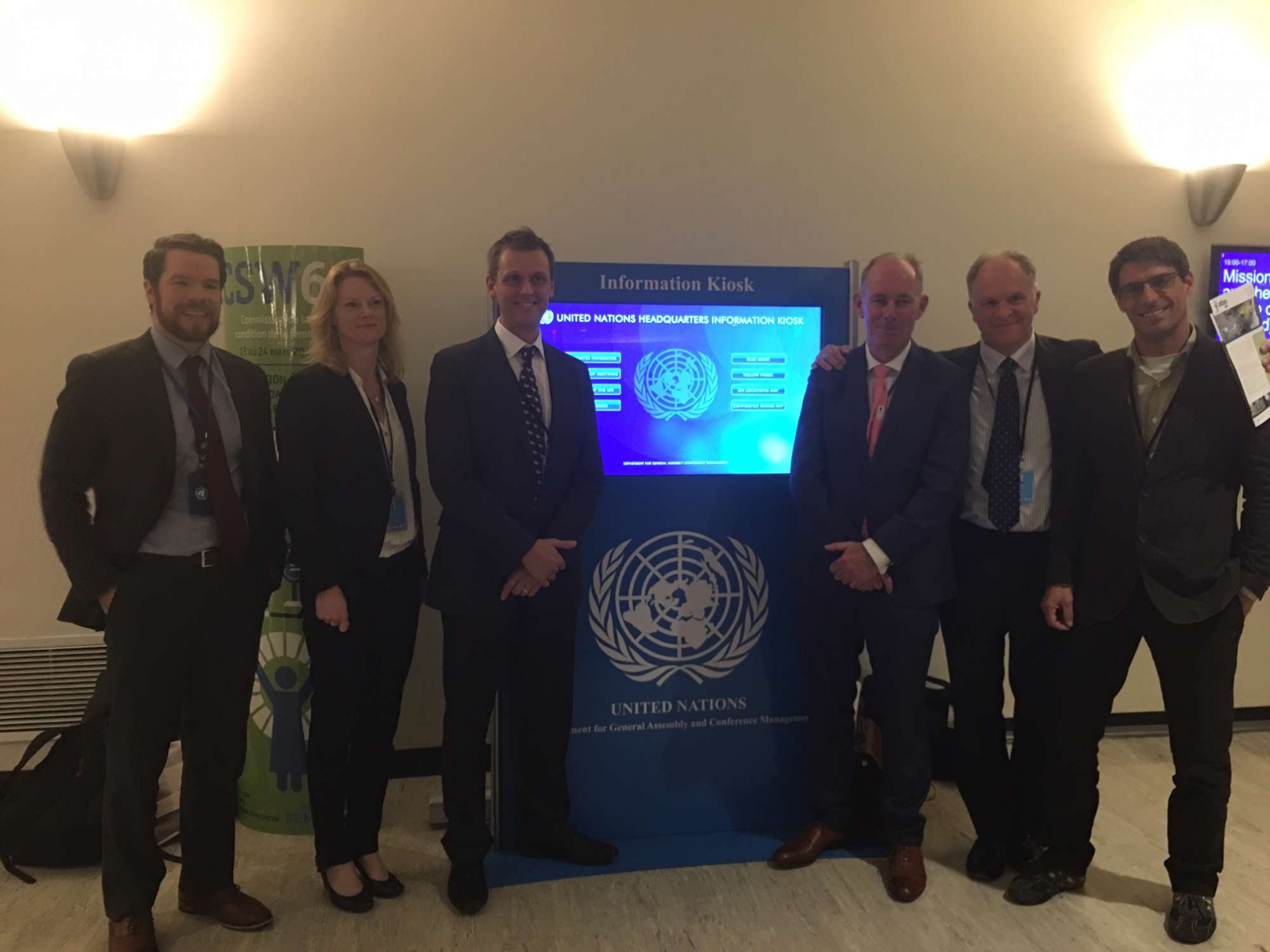
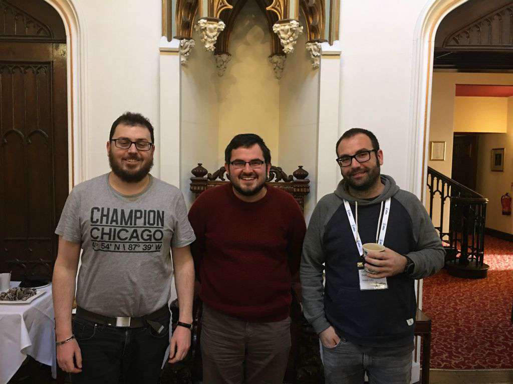
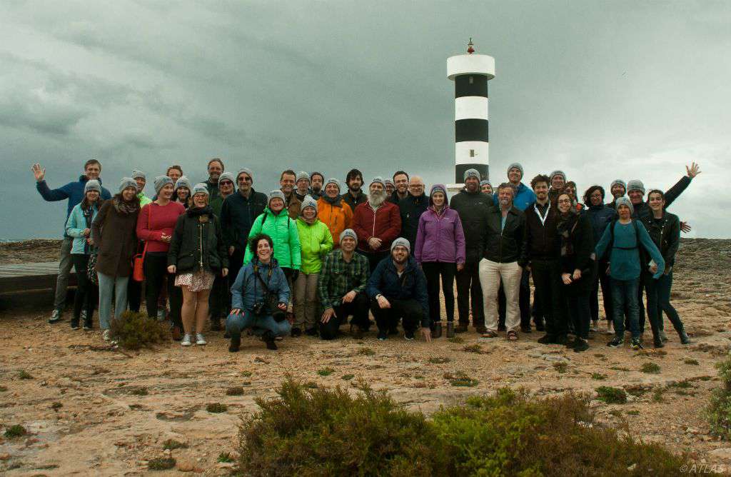
  1. Deep-sea discoveries: The Azores region was found to harbour particularly diverse coral gardens, forming at least seven distinct coral garden communities dominated by different species of octocorals discovered during ATLAS cruises. Both historical and new knowledge generated during ATLAS have demonstrated the Azores as a hotspot of CWC diversity, representing the highest species richness known of Octocorallia in Europe and in any of the North Atlantic archipelagos. ATLAS also contributed to the identification of several new species to science.
  2. New hydrothermal vent discovered: A new hydrothermal vent field was discovered on the slopes of Gigante, a seamount on the Mid-Atlantic Ridge in the seas of the Azores. This system differs considerably from other known hydrothermal fields along the MAR in terms of fluid chemistry with dominance of hydrogen and iron, and low temperature.
  3. New areas that fit the Vulnerable Marine ecosystem criteria: Eight areas in the Azores were identified as VMEs composed of diverse coral gardens, deep-sea sponge aggregations and hydrothermal vent. These were Cavalo Seamount, a ridge on the Mid-Atlantic Ridge, Gigante Seamount, Condor Seamount, Dom João de Castro Seamount, and Mar de Prata Seamount because of various coral gardens; the South of Pico Island because of a deep-sea sponge aggregation of Pheronema carpenteri; and the newly discovered Hydrothermal Vent Luso.
  4. Predicted distribution: Habitat suitability models developed for 13 vulnerable marine ecosystems indicator taxa in the Azores EEZ, showed a strong association of the predicted distribution of CWC taxa with areas of local relief, being them island shelves or slopes, ridges or seamounts. However, even among areas of similar depths, models discriminated between suitable and unsuitable zones showing that model outputs were not exclusively driven by depth correlated changes in environmental predictors.
  5. Impact of climate change on food supply and survival of deep-sea ecosystems: Results from a series of ATLAS experiments on the physiology of cold-water corals and deep-water sponges revealed that cumulative effects of climate change on food supply and ocean acidification impact the distribution and function of corals. This work highlighted that, as a result of climate change, predicted decreases in food availability and responses to ocean acidification will likely impact long-term growth and life cycles of corals. A better understanding of the interactive effects of climate change on deep-sea ecosystems supports accurate monitoring, modelling and future predictions.
  6. Predictive maps for future habitat suitability: ATLAS partners have modelled and developed predictive maps of habitat suitability for six cold-water coral and six deep-sea fish species under current conditions and forecast changes under future projected high-emission climate conditions for the whole North Atlantic Ocean. The results forecasted that over 50% of cold-water coral habitats could be at risk, and suitable habitats for commercially important deep-sea fish could shift by up to 100 km northwards. This work has important implications for the designation of effective area-based conservation measures and adaptive management strategies.
  7. Good Environmental Status in the deep-sea: We participated in a preliminary assessment of the environmental status of selected North Atlantic deep-sea ecosystems. We suggested that the low availability of long-term data sets limits our knowledge about natural variability and human impacts in the deep sea, preventing a more systematic assessment of habitat and ecosystem components in the deep sea.
  8. Low-cost imaging systems to observe the deep sea: Two custom-made underwater camera systems (live-view drift camera and a stereo-baited remote video) have been developed in collaboration with MapGES and iAtlantic projects, allowing greater data collection and spatial coverage at a reduced cost. The design and development of both systems will improve the capacity to monitor and explore the deep-sea bed and commercially important fish populations.
  9. An index to identify biodiversity hotspots: ATLAS developed a novel multi-criteria assessment method to more objectively identify Vulnerable Marine Ecosystems (VMEs) in the North-East Atlantic Ocean, often biodiversity hotspots. The method evaluates how likely a given area of the seafloor is to represent a VME, providing a more systematic and standardised approach (robust and repeatable numeric method) for assessing and identifying VME regions in the North-East Atlantic Ocean.
  10. Using eDNA and quantitative PCR to assess biodiversity in the open ocean: we contributed to the development and test of six species-specific environmental (e)DNA assays. This work demonstrates that eDNA methods can be developed for detecting the presence of target species in pelagic and deep-water environments, and can be used to assess species distributions over space and time.
  11. ‘Luso’ hydrothermal vent field declared as Marine Protected Area: The Luso hydrothermal vent field was discovered during the Blue Azores Expedition in 2018, in which ATLAS led Remotely Operated Vehicle operations. In September 2019, the Regional Government of the Azores declared the Luso hydrothermal vent field a Marine Protected Area (Portaria no. 68/2019), based on the ATLAS findings. This transformation of ATLAS research into policy will ensure deep-sea ecosystems in the Azores are preserved and can be incorporated into plans for sustainable exploitation.
  12. Input to the Convention on Biological Diversity (CBD) regional workshop on Ecologically or Biologically Significant marine Areas (EBSA) in the North-East Atlantic Ocean: The data provided by ATLAS contributed to the submission of several features that meet the EBSA criteria, including the Mid-Atlantic Ridge. This work supports the implementation of the EBSA process and informs future management measures in the deep sea.
  13. Area-based resource management plans for ATLAS case studies: ATLAS has developed systematic conservation planning approaches to support area-based management plans in the Azores and the North Atlantic Ocean.
Show less ↑
Show more ↓
Nothing to show yet... Try again later.
North Atlantic basin-scale multi-criteria assessment database to inform management recommendations to protect Vulnerable Marine Ecosystems
Nov, 2020
7 team members are authors
OA DOI 10.5281/zenodo.4279776
Authors 10.5281/zenodo.4279776
Telmo Morato
Christopher K. Pham
Laurence Fauconnet
Gerald H. Taranto
Giovanni Chimienti Erik E. Cordes
Carlos Dominguez‐Carrió
P. Durán-Muñoz Hrönn Egilsdóttir José Manuel González‐Irusta Anthony Grehan Dierk Hebbeln Lea‐Anne Henry Georgios Kazanidis Ellen Kenchington Lénàïck Menot Tina N. Molodtsova Covadonga Orejas Berta Ramiro‐Sánchez
Manuela Ramos
Luís Rodrigues
Steve W. Ross José L. Rueda M.m. Sacau-Cuadrado David Stirling
Marina Carreiro‐Silva
Abstract
We applied the International Council for the Exploration of the Sea (ICES) multi criteria assessment (MCA) method for identifying VMEs in the North-East Atlantic (ICES, 2016a,b; Morato et al., 2018) from ATLAS VME database to provide the first North Atlantic Ocean basin-scale VME assessment. This MCA is a taxa-dependent spatial method that incorporates the fact that not all VME indicators have the same vulnerability to human impacts, and thus should not be weighted equally. By including a measure of the confidence associated with each VME record, this methodology also considers some of the uncertainties associated with the sampling methodologies, the reported taxonomy, and data quality issues. Equally important, this dataset highlights areas in the North Atlantic that have been poorly sampled and that require further attention. Finally, this methodology also allows for the evaluation and comparison of the VME likelihood with spatial fisheries data that may directly generate significant adverse impacts on VMEs. In the data report, we made the “North Atlantic basin-scale VME index dataset” publicly, thus allowing its consultation and use by scientists, managers, or other relevant stakeholders.
GIS layers of seafloor characteristics in the Azores region (North Atlantic), links to files in ArcGIS format
Jan, 2016
1 team member is author
OA Citations 1 DOI 10.1594/pangaea.862152
Authors 10.1594/pangaea.862152
Antonio David Perán Miñarro Christopher K. Pham Patrícia Amorim Frederico Cardigos Fernando Tempera
Telmo Morato
Abstract
Current European legislation such as the Marine Strategy Framework Directive (MSFD; 2008/56/EC) has highlighted the need for accurate maps on the geomorphology of Europe's maritime territory. Such information is notably essential for the production of habitat maps and cumulative impact assessments of human activities (Halpern et al., 2008) necessary for marine spatial planning initiatives (Gilliland and Laffoley, 2008) and assessments of the representativity/sufficiency of marine protected areas networks like Natura 2000. Broadscale satellite bathymetry presently allows the identification of all prominent geomorphic structures present on the seafloor with a high grade of accuracy. However, these datasets and maps still need to be more widely disseminated in the scientific community.In this contribution, we provide an inventory of some important datasets related to the physical characteristics of the seafloor surrounding the Azores Archipelago. The objective is to ensure that our compilation is readily available for any researchers interested in developing species distribution models, or for the management and conservation of natural resources in the region.
Ocean climatology in the Azores region (North Atlantic) and seabed characteristics, links to GIS layers in ArcGIS format
Jan, 2017
1 team member is author
OA DOI 10.1594/pangaea.872601
Authors 10.1594/pangaea.872601
Patrícia Amorim António D. Perán Christopher K. Pham Manuela Juliano Frederico Cardigos Fernando Tempera
Telmo Morato
Abstract
Obtaining a comprehensive knowledge of the spatial and temporal variations of the environmental factors characterizing the Azores region is essential for conservation and management purposes. Although many studies are available for the region, there is a need for a general overview of the best available information. Here, we assembled a comprehensive collection of environmental data for this region. Data sources used in this study included remote sensing oceanographic data for 2003?2013 (sea surface temperature, chlorophyll-a concentration, particulate inorganic carbon (PIC), and particulate organic carbon (POC)), derived oceanographic data (primary productivity and North Atlantic oscillation index) for 2003?2013, and in situ data (temperature, salinity, oxygen, phosphate, nitrate and silicate) obtained from the World Ocean Atlas 2013.
Climate-induced changes in the suitable habitat of cold-water corals and commercially important deep-sea fishes in the North Atlantic
Jan, 2019
3 team members are authors
OA Citations 2 DOI 10.1594/pangaea.910319
Authors 10.1594/pangaea.910319
Morato, Telmo
González-Irusta, José Manuel Domínguez-Carrió, Carlos Wei, C Davies, A Sweetman, Andrew K
Taranto, A H
Beazley, Lindsay García-Alegre, A Grehan, Anthony J Laffargue, P Javier Murillo, F Sacau, M Vaz, S Kenchington, Ellen L Arnaud-Haond, Sophie Callery, Oisín Chimienti, G Cordes, E Egilsdottir, Hronn Freiwald, André Gasbarro, R Gutierrez-Zárate, C Gianni, M Gilkinson, Kent Wareham Hayes, V E Hebbeln, Dierk Hedges, K Henry, Lea Anne Johnson, Devin S Koen-Alonso, M Lirette, C Mastrototaro, F Menot, Lenaick Molodtsova, Tina Durán Muñoz, P Orejas, Covadonga Pennino, Maria Grazia Puerta, P Ragnarsson, Stefan Aki Ramiro-Sánchez, Berta Rice, J Rivera, Jaime Roberts, J Murray Ross, Steve W Rueda, José Luis Sampaio, Íris Snelgrove, Paul V R Stirling, David Treble, M A Urra, Javier Vad, Johanne Van Oevelen, Dick Watling, L Walkusz, Wojciech Wienberg, Claudia Woillez, M Levin, L A
Carreiro-Silva, Marina
Abstract
We used environmental niche modelling along with the best available species occurrence data and environmental parameters to model habitat suitability for key cold-water coral and commercially important deep-sea fish species under present-day (1951-2000) environmental conditions and to forecast changes under severe, high emissions future (2081-2100) climate projections (RCP8.5 scenario) for the North Atlantic Ocean (from 18°N to 76°N and 36°E to 98°W). The VME indicator taxa included Lophelia pertusa , Madrepora oculata, Desmophyllum dianthus, Acanela arbuscula, Acanthogorgia armata, and Paragorgia arborea. The six deep-sea fish species selected were: Coryphaenoides rupestris, Gadus morhua, blackbelly Helicolenus dactylopterus, Hippoglossoides platessoides, Reinhardtius hippoglossoides, and Sebastes mentella. We used an ensemble modelling approach employing three widely-used modelling methods: the Maxent maximum entropy model, Generalized Additive Models, and Random Forest. This dataset contains: 1) Predicted habitat suitability index under present-day (1951-2000) and future (2081-2100; RCP8.5) environmental conditions for twelve deep-sea species in the North Atlantic Ocean, using an ensemble modelling approach. 2) Climate-induced changes in the suitable habitat of twelve deep-sea species in the North Atlantic Ocean, as determined by binary maps built with an ensemble modelling approach and the 10-percentile training presence logistic (10th percentile) threshold. 3) Forecasted present-day suitable habitat loss (value=-1), gain (value=1), and acting as climate refugia (value=2) areas under future (2081-2100; RCP8.5) environmental conditions for twelve deep-sea species in the North Atlantic Ocean. Areas were identified from binary maps built with an ensemble modelling approach and two thresholds: 10-percentile training presence logistic threshold (10th percentile) and maximum sensitivity and specificity (MSS). Refugia areas are those areas predicted as suitable both under present-day and future conditions. All predictions were projected with the Albers equal-area conical projection centred in the middle of the study area. The grid cell resolution is of 3x3 km.
ATLAS work on Good Environmental Status across 9 study areas in the northeast Atlantic
Jan, 2020
2 team members are authors
OA DOI 10.1594/pangaea.911409
Authors 10.1594/pangaea.911409
Kazanidis, Georgios Orejas, Covadonga Borja, Angel Kenchington, Ellen L Henry, Lea-Anne Callery, Oisín
Carreiro-Silva, Marina
Egilsdottir, Hronn Giacomello, Eva Grehan, Anthony J Menot, Lenaick
Morato, Telmo
Ragnarsson, Stefan Aki Rueda, José Luis Stirling, David Stratmann, Tanja Van Oevelen, Dick Palialexis, Andreas Johnson, David Roberts, J Murray
Abstract
This data is showing the outcomes of the analysis done by ATLAS researchers on the environmental status of nine deep-sea areas in the northeast Atlantic. These results are part of the ATLAS work facilitating the implementation of the European Commission's Marine Strategy Framework Directive in the deep waters of the North Atlantic. The nine study areas that were examined are: 1) LoVe Ocean Observatory, 2) Faroe-Shetland Channel, 3) Reykjanes Ridge, 4) Rockall Bank, 5) Mingulay Reef Complex, 6) Porcupine Seabight, 7) Bay of Biscay, 8) Azores, 9) Gulf of Cádiz. The analyses were carried out using the Nested Environmental status Assessment Tool (NEAT). The environmental status outcomes are shown for the total study area, the designated spatial assessment units (SAUs), the ecosystem components ("Benthic invertebrates", "Fish", "Benthos") and the habitats ("Aggregations of L. pertusa & M. oculata on soft sediments", "Aggregations of sea pens & alcyonaceans on soft sediments", "Aggregations of L. pertusa & M. oculata on hard substrates", "Aggregations of Antipatharians and alcyonaceans on hard substrates", "Benthic", "Rocky", "Sedimentary").
Compilation of records of vulnerable marine ecosystem indicator taxa in the North Atlantic
Jan, 2020
3 team members are authors
OA DOI 10.1594/pangaea.920658
Authors 10.1594/pangaea.920658
Ramiro-Sánchez, Berta Henry, Lea-Anne
Morato, Telmo
Taranto, Gerald
Cleland, Jason
Carreiro-Silva, Marina
Sampaio, Íris Domínguez-Carrió, Carlos Messing, Charles G Kenchington, Ellen L Murton, Bramley Roberts, J Murray
Abstract
Obtaining a comprehensive knowledge of the spatial variation of deep-sea benthic ecosystems is essential for conservation and management purposes. Here we assembled publicly available information on the positions of vulnerable marine ecosystem indicator species from public databases (OBIS, NOAA and ICES), the published literature and from focused efforts from the Logachev Mounds (NE Atlantic), Tropic Seamount (NE tropical Atlantic) and Bermuda for depths below 200 m. Taxa included hexacorals, octocorals, hydroids, sponges, hydrothermal vents associated species (bivalves, decapods), crinoids and xenophyophores.
Set of terrain (static in time) and environmental (dynamic in time) variables used as candidate predictors of present-day (1951-2000) and future (2081-2100) suitable habitat of cold-water corals and deep-sea fishes in the North Atlantic
Jan, 2020
2 team members are authors
OA Citations 6 DOI 10.1594/pangaea.911117
Authors 10.1594/pangaea.911117
Chih‐Lin Wei José Manuel González‐Irusta
Carlos Dominguez‐Carrió
Telmo Morato
Abstract
We used environmental niche modelling along with the best available species occurrence data and environmental parameters to model habitat suitability for key cold-water coral and commercially important deep-sea fish species under present-day (1951-2000) environmental conditions and to forecast changes under severe, high emissions future (2081-2100) climate projections (RCP8.5 scenario) for the North Atlantic Ocean (from 18°N to 76°N and 36°E to 98°W). This dataset contains a set of terrain (static in time) and environmental (dynamic in time) variables were used as candidate predictors of present-day (1951-2000) distribution and to forecast future (2081-2100) changes. All predictor variables were projected with the Albers equal-area conical projection centred in the middle of the study area. The terrain variable depth was extracted from a bathymetry grid built from two data sources: the EMODnet Digital Terrain Model (EMODnet, 2018) and the General Bathymetric Chart of the Oceans (GEBCO 2014; Weatherall et al., 2015). Slope (in degrees) was derived from the final bathymetry grid using the Raster package in R (Hijmans, 2016) and the Bathymetric Position Index (BPI) was computed using the Benthic Terrain Model 3.0 tool in ArcGIS 10.1 with an inner radius of 3 and an outer radius of 25 grid cells. In order to avoid extreme values, BPI was standardized using the scale function from the Raster package. Environmental variables of present-day and future conditions, including particulate organic carbon (POC) flux at 100-m depth (epc100, mg C m-2 d-1), bottom water dissolved oxygen concentration (µmol kg-1), pH, and potential temperature (°K) were downloaded from the Earth System Grid Federation (ESGF) Peer-to-Peer (P2P) enterprise system. The epc100 was converted to export POC flux at the seafloor using the Martin curve (Martin, Knauer, Karl, & Broenkow, 1987) following the equation: epc = epc100*(water depth/export depth)-0.858, and setting the export depth to 100 m. Near seafloor aragonite (Ωar) and calcite (Ωcal) saturation were also used as candidate predictors for habitat suitability of cold-water coral species. These saturation states were computed by dividing the bottom water carbonate ion concentration (mol m-3) by the bottom water carbonate ion concentration (mol m-3) for seawater in equilibrium with pure aragonite and calcite. Yearly means of these parameters were calculated for the periods 1951-2000 (historical simulation) and 2081-2100 (RCP8.5 or business-as-usual scenario) using the average values obtained from the Geophysical Fluid Dynamics Laboratory's ESM 2G model (GFDL-ESM-2G; Dunne et al., 2012), the Institut Pierre Simon Laplace's CM6-MR model (IPSL-CM5A-MR; Dufresne et al., 2013) and Max Planck Institute's ESM-MR model (MPI-ESM-MR; Giorgetta et al., 2013) within the Coupled Models Intercomparison Project Phase 5 (CMIP5) for each grid cell of the present study area.
Blue Azores Program Expedition 2018, Station 57, Dive 15: annotation of Paragorgia johnsoni Gray, 1862
Apr, 2021
6 team members are authors
OA Citations 1 DOI 10.5281/zenodo.4727164
Abstract
Annotation of Paragorgia johnsoni Gray, 1862 colonies from underwater video footage recorded during the Blue Azores 2018 Expedition with the ROV Luso onboard the NRP Almirante Gago Coutinho, Station 57, Dive 15 (June 23rd, 2018). The images correspond to the octocoral garden discovered between 545 and 595 m depth on the slopes of a small ridge-like structure located on the Mid-Atlantic Ridge, in the Azores region.
Outputs of predictive distribution models of deep-sea elasmobranchs in the Azores EEZ (down to 2,000m depth) using Generalized Additive Models
Jan, 2022
3 team members are authors
OA DOI 10.1594/pangaea.940808
Authors 10.1594/pangaea.940808
González-Irusta, José Manuel
Fauconnet, Laurence
Das, Diya Catarino, Diana Afonso, Pedro Viegas, Cláudia Neto
Rodrigues, Luís
Menezes, Gui M Rosa, Alexandra Pinho, Mário Rui Rilhó Silva, Hélder Marques Da Giacomello, Eva
Morato, Telmo
Abstract
Description: We developed predictive distribution models of deep-sea elasmobranchs for up to 2000 m depth in the Azores EEZ and neighboring seamounts, from approximately 33°N to 43°N and 20°W to 36°W. Georeferenced presence, absence, and abundance data were obtained from scientific surveys and commercial operations reporting at least one deep-sea elasmobranch capture. A 20-year 'survey dataset' (1996-2017) was compiled from annual scientific demersal surveys using two types of bottom longlines (types LLA and LLB), and an 'observer dataset' (2004-2018) from observer programs covering commercial fisheries operations using bottom longline (similar to type LLA) and vertical handline ('gorazeira'). We used the most ecologically relevant candidate environmental predictors for explaining the spatial distribution of deep-sea elasmobranch in the Azores: depth, slope, northness, eastness, Bathymetric Position Index (BPI), nitrates, and near bottom currents. We merged existing multibeam data for the Azores EEZ with bathymetry data extracted from EMODNET (EMODnet Bathymetry Consortium 2018) to calculate depth values (down to 2000m). All variables were projected with the Albers equal-area conical projection centered in the middle of the study area and were rescaled using bilinear interpolation to a final grid cell resolution of 1.12 x1.12 km (i.e., 0.012°). Slope, northness, and eastness were computed from the depth raster using the function terrain in the R package raster. BPI was derived from the rescaled depth with an inner radius of 3 and an outer radius of 25 grid cells using the Benthic Terrain Model 3.0 tool in ArcGIS 10.1. Nitrates were extracted from Amorim et al. (2017). Near-bottom current speed (m·s-1) average values were based on a MOHID hydrodynamic model application (Viegas et al., 2018) with an original resolution of 0.054°. Besides the environmental variables, we also included three operational predictors in the analysis: year, fishing effort (number of hooks) and gear type (longline LLA and LLB, and gorazeira).
Vulnerable Marine Ecosystems, Communities, and Indicator Species: Confusing Concepts for Conservation of Seamounts
Frontiers in Marine Science
|
May, 2021
OA Citations 28 Rising DOI 10.3389/fmars.2021.622586
Authors 10.3389/fmars.2021.622586
Les Watling Peter J. Auster
Abstract
The concept of “vulnerable marine ecosystem” (VME) was included in United Nations (UN) General Assembly Resolution 61/105 as part of an international effort to minimize the effects of seafloor fisheries on the high seas. However, defining a VME was left to be developed by technical guidance to the UN Food and Agricultural Organization. In that venue certain categories of organisms were deemed to be indicator species, suggesting that areas with those species would be considered VMEs with subsequent management measures implemented to conserve those ecosystem attributes. We note that on seamounts VME indicator species can be distributed widely, in dense clusters or sparsely. A dense cluster, for example, of scleractinian corals or sponges, is most often referred to as a VME, but we argue that any such dense cluster is not an ecosystem, rather it is a community, likely one of many that make up the ecosystem. Other communities on the seamount that are not part of that dense cluster could include many small species (some yet to be discovered) who are also part of the ecosystem because they are part of the web of interactions and flow of materials/energy on the seamount. We also suggest that a seamount ecosystem might extend over several or many seamounts in a biogeographic area. We conclude that the term “ecosystem” in the VME concept outlined by the United Nations needs to be re-evaluated from a classical ecological perspective leading to spatial management approaches that better address ecologically relevant space and time scales.
Local-scale feedbacks influencing cold-water coral growth and subsequent reef formation
Scientific Reports
|
Nov, 2022
2 team members are authors
OA Citations 22 DOI 10.1038/s41598-022-24711-7
Authors 10.1038/s41598-022-24711-7
Guillem Corbera Claudio Lo Iacono Gonzalo Simarro Jordi Grinyó Stefano Ambroso Veerle A.i. Huvenne Furu Mienis
Marina Carreiro‐Silva
Inês Martins
Beatriz Mano Covadonga Orejas Ann I. Larsson Sebastian Hennige Andrea Gori
Democratizing deep-sea research for biodiversity conservation
Trends in Ecology & Evolution
|
Oct, 2025
11 team members are authors
Spatial distributions, environmental drivers and co-existence patterns of key cold-water corals in the deep sea of the Azores (NE Atlantic)
Deep Sea Research Part I Oceanographic Research Papers
|
Mar, 2023
6 team members are authors
OA Citations 19 Rising DOI 10.1016/j.dsr.2023.104028
Authors 10.1016/j.dsr.2023.104028
Natural history collections as a basis for sound biodiversity assessments: Plexauridae (Octocorallia, Holaxonia) of the Naturalis CANCAP and Tyro Mauritania II expeditions
ZooKeys
|
Aug, 2019
1 team member is author
OA Citations 11 DOI 10.3897/zookeys.870.35285
Authors 10.3897/zookeys.870.35285
Íris Sampaio
Marina Carreiro‐Silva
André Freiwald Gui M. Menezes Manfred Grasshoff
Abstract
Mapping biodiversity is the marathon of the 21 st Century as an answer to the present extinction crisis. A century in which science is also characterised by large scientific datasets collected through new technologies aiming to fill gaps in our knowledge of species distributions. However, most species records rely on observations that are not linked to specimens, which does not allow verification of species hypotheses by other scientists. Natural history museums form a verifiable source of biodiversity records which were made by taxonomists. Nonetheless, these museums seem to be forgotten by biologists in scientific fields other than taxonomy or systematics. Naturalis Biodiversity Center (NBC) in Leiden is care keeper of large collections of marine organisms, which were sampled in the Northeast Atlantic during the CANCAP and Tyro Mauritania II expeditions (1976–1988). Many octocorals were sampled and deposited in the NBC collection, where they became available for study and were partially identified by the senior author (M.G.) in the 1980s. Nonetheless, no checklist or taxonomic revision was published so far with the complete results. In 2016 the first author visited NBC to examine NE Atlantic Plexauridae octocorals. Plexauridae octocoral-vouchered records were listed and mapped to reveal high standard primary biodiversity records unreported so far for the NE Atlantic Ocean. Twenty-four Plexauridae species with ~ six putative new species to science were discovered and eleven new biogeographical records were made from distinct Macaronesian archipelagos. Finally, new depth range records were found for three species at sea basin level and for eight species at a regional scale.
Benthic O2 uptake by coral gardens at the Condor seamount (Azores)
Marine Ecology Progress Series
|
Feb, 2022
3 team members are authors
OA Citations 6 DOI 10.3354/meps14021
Authors 10.3354/meps14021
Lorenzo Rovelli
Marina Carreiro‐Silva
Karl M. Attard Maria Rakka
Carlos Dominguez‐Carrió
Meri Bilan Sabena Blackbird
Telmo Morato
George A. Wolff Ronnie N. Glud
Abstract
Using the non-invasive aquatic eddy covariance technique, we provide the first oxygen (O 2 ) uptake rates from within coral gardens at the Condor seamount (Azores). To explore some of the key drivers of the benthic O 2 demand, we obtained benthic images, quantified local hydrodynamics, and estimated phototrophic biomass and deposition dynamics with a long-term moored sediment trap. The coral gardens were dominated by the octocorals Viminella flagellum and Dentomuricea aff. meteor . Daily rates of O 2 uptake within 3 targeted coral garden sites (203 to 206 m depth) ranged from 10.0 ± 0.88 to 18.8 ± 2.0 mmol m -2 d -1 (mean ± SE) and were up to 10 times higher than 2 local sandy reference sites within the seamount summit area. The overall mean O 2 uptake rate for the garden (13.4 mmol m -2 d -1 ) was twice the global mean for sedimentary habitats at comparable depths. Combined with parallel ex situ incubations, the results suggest that the octocorals might contribute just ~5% of the observed O 2 uptake rates. Deposition of particulate organic matter (POM) assessed by the sediment trap accounted for less than 10% of the O 2 demand of the coral garden, implying a substantial POM supply circumventing the deployed traps. Our results expand the database for carbon turnover rates in cold-water coral habitats by including the first estimates from these largely understudied coral gardens.
Tidal to decadal scale hydrodynamics at two contrasting cold-water coral sites in the Northeast Atlantic
Progress In Oceanography
|
Apr, 2023
3 team members are authors
OA Citations 8 DOI 10.1016/j.pocean.2023.103031
Authors 10.1016/j.pocean.2023.103031
Christian Mohn Jørgen L. S. Hansen
Marina Carreiro‐Silva
Stuart A. Cunningham Evert De Froe
Carlos Dominguez‐Carrió
Stefan F. Gary Ronnie N. Glud Cordula Göke Clare Johnson
Telmo Morato
Eva Friis Møller Lorenzo Rovelli Kirstin Schulz Karline Soetaert Anna‐Selma Van Der Kaaden Dick Van Oevelen
Abstract
Cold-water corals (CWCs) thrive in areas with complex and rough topography favoring the development of highly diverse benthic communities. Several biotic and abiotic factors including organic matter supply, temperature, bottom roughness and currents are important drivers of ecosystem structure and functioning in deep-sea environments at different spatial and temporal scales. Little is known, however, how basin-scale changes in the ocean climate affect these drivers at local scales. Here, we use high-resolution implementations of the hydrodynamic model ROMS-AGRIF for estimating characteristic spatial and temporal scales of local hydrodynamics in response to variations of basin-scale currents imposed by distinct changes of the Atlantic Meridional Overturning Circulation (AMOC) in the past century. We focus on two CWC communities on the SE Rockall Bank slope and at Condor Seamount. We considered two contrasting AMOC states that were identified from the 1958–2009 hindcast of the 1/20° resolution VIKING20 North Atlantic basin-scale ocean circulation model and used as boundary conditions for the high-resolution local area models. At SE Rockall Bank, variability of near-bottom currents in both regions was largely dominated by tidal dynamics, but strongly modified by AMOC induced basin-scale variations of water mass properties and bottom currents. During strong AMOC years, waters in the main CWC depth corridor (600–1200 m) were cooler and less saline but were dominated by stronger bottom currents when compared with conditions during weak AMOC years. At Condor Seamount, bottom currents were largely unaffected by AMOC related changes close to the summit at water depths < 400 m. Kinetic energy dissipation rates derived from the 3D near-bottom velocity field appeared to positively relate with the in-situ CWC distribution. Kinetic energy dissipation is therefore proposed as a mechanistic descriptor of CWC presence as it provides a more mechanistic view of hydrodynamics driving organic matter supply to filter and suspension-feeding communities.
Variability of deep-sea megabenthic assemblages along the western pathway of the Mediterranean outflow water
Deep Sea Research Part I Oceanographic Research Papers
|
May, 2022
3 team members are authors
OA Citations 16 Rising DOI 10.1016/j.dsr.2022.103791
Authors 10.1016/j.dsr.2022.103791
Patricia Puerta Ángela Mosquera-Giménez Olga Reñones
Carlos Dominguez‐Carrió
José L. Rueda Javier Urra
Marina Carreiro‐Silva
Jordi Blasco-Ferre Yaiza Santana Cristina Gutiérrez‐Zárate P. Vélez‐Belchí J. Rivera
Telmo Morato
Covadonga Orejas
Mechanical and toxicological effects of deep-sea mining sediment plumes on a habitat-forming cold-water octocoral
Frontiers in Marine Science
|
Oct, 2022
5 team members are authors
OA Citations 27 DOI 10.3389/fmars.2022.915650
Authors 10.3389/fmars.2022.915650
Marina Carreiro‐Silva
Inês Martins
Virginie Riou Joana Raimundo Miguel Caetano Raúl Bettencourt Maria Rakka
Teresa Cerqueira
António Godinho
Telmo Morato
Ana Colaço
Abstract
Deep-sea mining activities are expected to impact deep-sea biota through the generation of sediment plumes that disperse across vast areas of the ocean. Benthic sessile suspension-feeding fauna, such as cold-water corals, may be particularly susceptible to increased suspended sediments. Here, we exposed the cold-water octocoral, Dentomuricea aff. meteor to suspended particles generated during potential mining activities in a four weeks experimental study. Corals were exposed to three experimental treatments: (1) control conditions (no added sediments); (2) suspended polymetallic sulphide (PMS) particles; (3) suspended quartz particles. The two particle treatments were designed to distinguish between potential mechanical and toxicological effects of mining particles. PMS particles were obtained by grinding PMS inactive chimney rocks collected at the hydrothermal vent field Lucky Strike. Both particle types were delivered at a concentration of 25 mg L -1 , but achieved suspended concentrations were 2-3 mg L -1 for the PMS and 15-18 mg L -1 for the quartz particles due to the different particle density. Results of the experiment revealed a significant increase in dissolved cobalt, copper and manganese concentrations in the PMS treatment, resulting from the oxidation of sulphides in contact with seawater. Negative effects of PMS exposure included a progressive loss in tissue condition with necrosis and bioaccumulation of copper in coral tissues and skeletons, and death of all coral fragments by the end of the experiment. Physiological changes under PMS exposure, included increased respiration and ammonia excretion rates in corals after 13 days of exposure, indicating physiological stress and potential metabolic exhaustion. Changes in the cellular stress biomarkers and gene expression profiles were more pronounced in corals exposed to quartz particles, suggesting that the mechanical effect of particles although not causing measurable changes in the physiological functions of the coral, can still be detrimental to corals by eliciting cellular stress and immune responses. We hypothesize that the high mortality of corals recorded in the PMS treatment may have resulted from the combined and potentially synergistic mechanical and toxicological effects of the PMS particles. Given the dispersal potential of mining plumes and the highly sensitive nature of octocorals, marine protected areas, buffer areas or non-mining areas may be necessary to protect deep-sea coral communities.
Challenges in avoiding deep-water shark bycatch in Azorean hook-and-line fisheries
ICES Journal of Marine Science
|
Oct, 2022
2 team members are authors
OA Citations 12 Rising DOI 10.1093/icesjms/fsac178
Authors 10.1093/icesjms/fsac178
Laurence Fauconnet
Diana Catarino Diya Das Eva Giacomello José Manuel González‐Irusta Pedro Afonso
Telmo Morato
Abstract
Abstract Deep-water sharks are highly diverse, vulnerable, and understudied as a group, despite the increasing pressures on their populations. Twenty-five species of deep-water sharks have been recorded in the Azores, an oceanic archipelago in the mid-North Atlantic, that are regularly caught as bycatch in hook-and-line fisheries. Avoiding the bycatch of deep-water sharks presents multiple challenges due to their high catchability, difficulties in correctly identifying species, and the general lack of data on these species. This review summarizes the findings of recent studies from the region, providing an up-to-date science-based framework for mitigating bycatch effects of Azorean hook-and-line fisheries. Several depth-based, area-based, and gear-based measures have been studied that demonstrate the potential to either avoid or increase the survival of deep-water shark bycatch. However, these measures may have limited efficacy for some species (e.g. highly mobile species) and thus, limited widespread applicability. Convincing fishers to avoid deep-water shark bycatch is also a challenge given the antagonistic interactions with sharks damaging the catch and fishing gear, while simultaneously a market incentive for shark liver oil remains. It highlights the need to proactively engage fishers and incentivize the mitigation of bycatch of deep-water sharks in Azorean waters.
Modelling the Dispersion of Seafloor Massive Sulphide Mining Plumes in the Mid Atlantic Ridge Around the Azores
Frontiers in Marine Science
|
Jul, 2022
3 team members are authors
OA Citations 21 DOI 10.3389/fmars.2022.910940
Authors 10.3389/fmars.2022.910940
Telmo Morato
Manuela Juliano Christopher K. Pham
Marina Carreiro‐Silva
Inês Martins
Ana Colaço
Abstract
It is increasingly recognised that deep-sea mining of seafloor massive sulphides (SMS) could become an important source of mineral resources. These operations will remove the targeted substrate and produce potentially toxic plumes from in situ seabed excavation and from the return water pumped back down to the seafloor. However, the spatial extent of the impact of deep-sea mining is still uncertain because few field experiments and models of plume dispersion have been conducted. In this study, we used three-dimensional hydrodynamic models of the Azores region together with a theoretical commercial mining operation of polymetallic SMS to simulate the potential dispersal of plumes originating from different phases of mining operations, and to assess the magnitude of potential impacts. Although the model simulations presented here were subject to many caveats, they did reveal some important patterns. The model projected marked differences among sites making generalisations about plume-dispersal patterns in mid-ocean ridges difficult. Nevertheless, the models predicted large horizontal and vertical plume-dispersals above the thresholds adopted. Persistent plumes (temporal frequency &gt;50%, i.e., 6 months out of 12 months) were projected to disperse an average linear distance of 10 to 20 km, cover an area of 17 to 150 km2, and extend more than 800 m in the water column. In fact, the model projected that plumes may disperse beyond the licensed mining areas, reach the flanks and summits of nearby topographic features, and extend into the bathypelagic, mesopelagic, and epipelagic environments. Modelled plume-dispersal overlaps with the predicted distribution of cold-water corals and with existing fishing activities. These potential impacts would be of particular concern in regions such as the Azores, where local populations are highly dependent on the sea for their livelihoods. The findings of this study are an important initial step towards understanding the nature and magnitude of deep-sea mining impacts in space and time.
Predicting the distribution and abundance of abandoned, lost or discarded fishing gear (ALDFG) in the deep sea of the Azores (North Atlantic)
The Science of The Total Environment
|
Aug, 2023
8 team members are authors
OA Citations 18 Rising DOI 10.1016/j.scitotenv.2023.166579
Authors 10.1016/j.scitotenv.2023.166579
Emily M. Duncan Nina Vieira José Manuel González‐Irusta
Carlos Dominguez‐Carrió
Telmo Morato
Marina Carreiro‐Silva
Joachim Jakobsen Kirsten Jakobsen
Filipe M. Porteiro
Nina Schläpfer Laura Herrera
Manuela Ramos
Yasmina Rodríguez
João Pereira
Laurence Fauconnet
Luís Rodrigues
Hugo Parra Christopher K. Pham
First assessment of circle hooks as bycatch mitigation measure for deep-water sharks on longline fisheries
Fisheries Research
|
Oct, 2023
2 team members are authors
OA Citations 3 DOI 10.1016/j.fishres.2023.106877
Authors 10.1016/j.fishres.2023.106877
Laurence Fauconnet
Telmo Morato
Diya Das Diana Catarino Jorge Fontes Eva Giacomello Pedro Afonso
Abstract
The recognition that deep-water sharks are among the most vulnerable marine species to fisheries exploitation led to the implementation of fishing prohibition regulations in European waters. Reducing unwanted bycatch and mortality are key fisheries mitigation measure for the conservation of these species. Yet, few studies have investigated how to mitigate the common bycatch of these sharks on deep-water longline fisheries. Specifically, the potential of hook type as such a measure has never been investigated. Here, we conducted fishing experiments to test how circle hooks affect the catchability, the hooking position, and the overall condition of deep-water sharks, in comparison to the commonly used J-hooks in the Azores bottom longline fishery. We found that circle hooks did not significantly reduce deep hooking (throat or gut hooked), nor improve the overall condition of captured sharks, while the catchability of deep-water sharks on circle hooks was greater than on the J-hooks currently used in the local fishery. As such, circle hooks do not appear as a suitable measure to reduce deep-water shark bycatch and increase survival potential in deep-water longlining. Despite deep hooking being rare for the deep-water sharks caught with both hook types in the experiments, at-vessel mortality was still substantial (around 40%). Post-release survival remains mostly unquantified but preliminary results suggest it could also be high. This study highlights the urgent need for continued research addressing bycatch mitigation measures for deep-water sharks and identifying efficient strategies to reduce bycatch and increase survival.

ATLAS Gallery

Follow us on social media to stay updated

Location

Institute of Marine Sciences — Okeanos, University of the Azores

Departamento de Oceanografia e Pescas — Universidade dos Açores

Rua Prof. Doutor Frederico Machado, No. 4
9901-862 Horta, Portugal

Contact

FOLLOW US
ADSR

AZORES DEEP-SEA RESEARCH © 2020-2026 — RELEASE 2.1

Developed by Valter Medeiros VALTER MEDEIROS