AZORES
DEEP-SEA RESEARCH © CRUISES
Stations
MapGES 2025 MT Physeter
Loading…
MapGES 2025 MT Physeter
Mapping deep-sea biodiversity and “Good Environmental Status” in the Azores
MapGES 2025 MT Physeter
Loading cruise data…
Mapping deep-sea biodiversity and “Good Environmental Status” in the Azores
Location: Faial N, Graciosa NE and S, Vasco Gil N, Ilha Azul E, Terceira E, Beirada de Fora, Maçarico, João de Melo and Pico NW.
Year: 2025
41 stations
41 dives
829 km transits
11 areas visited
Summary
Mapping deep-sea biodiversity and “Good Environmental Status” in the Azores
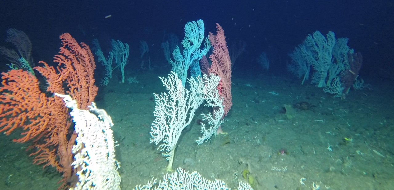
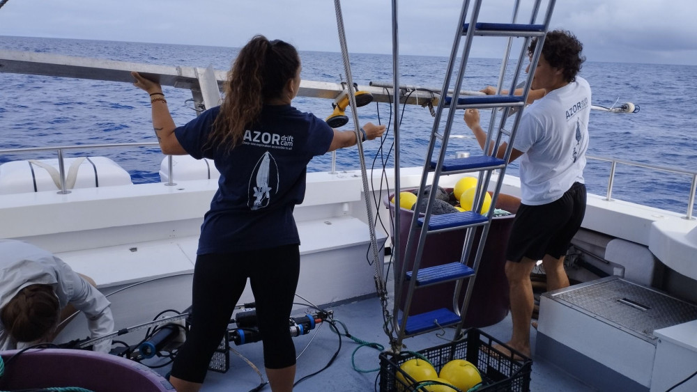
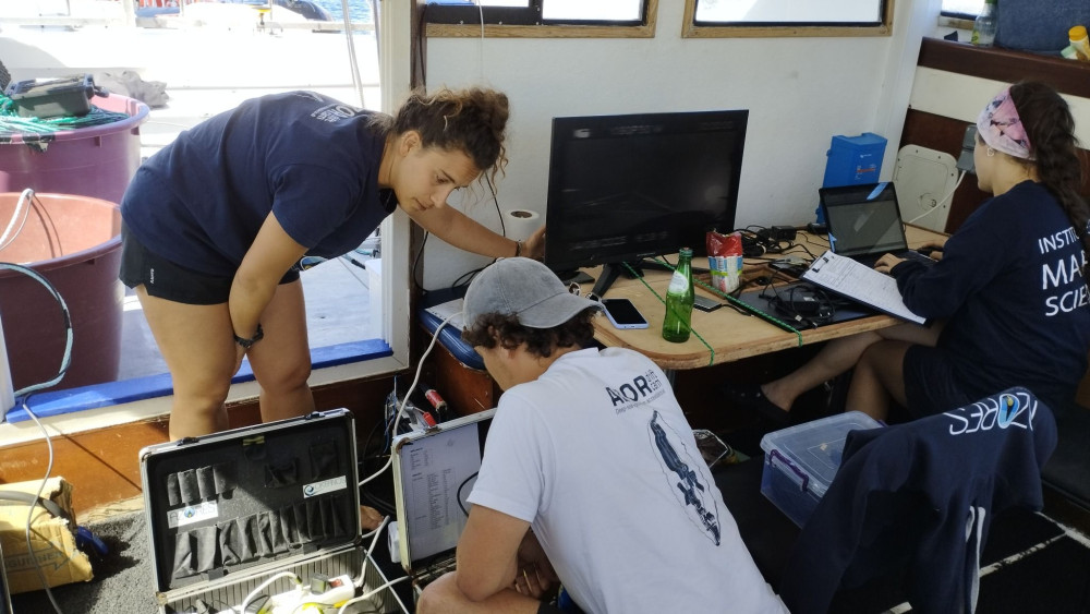
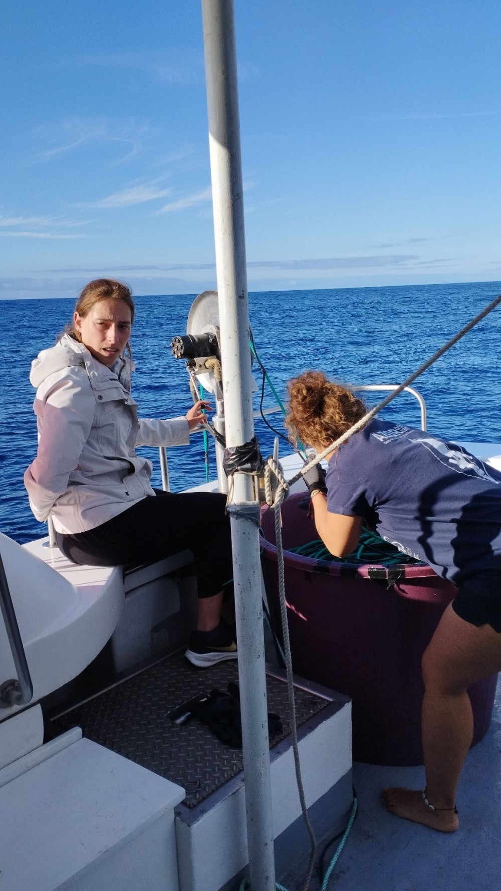
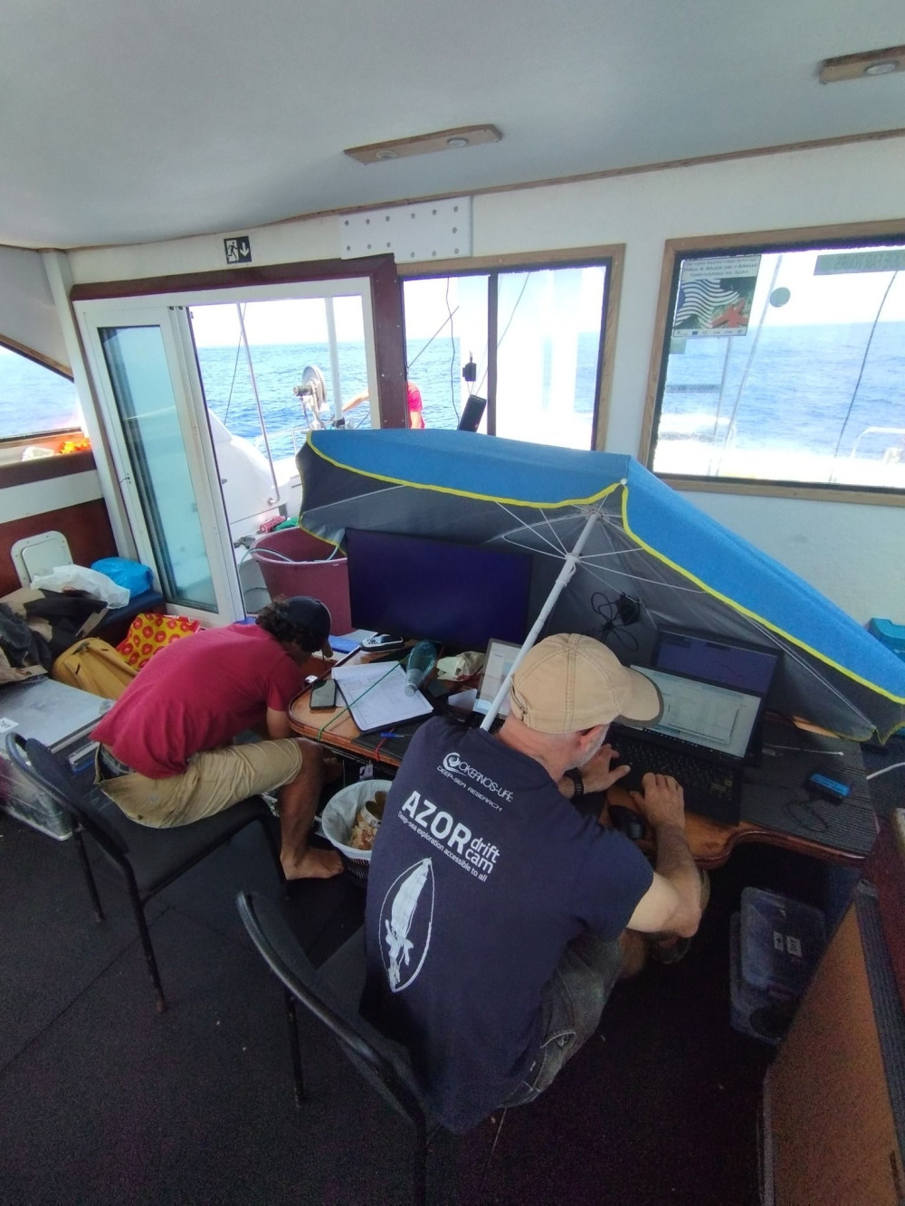
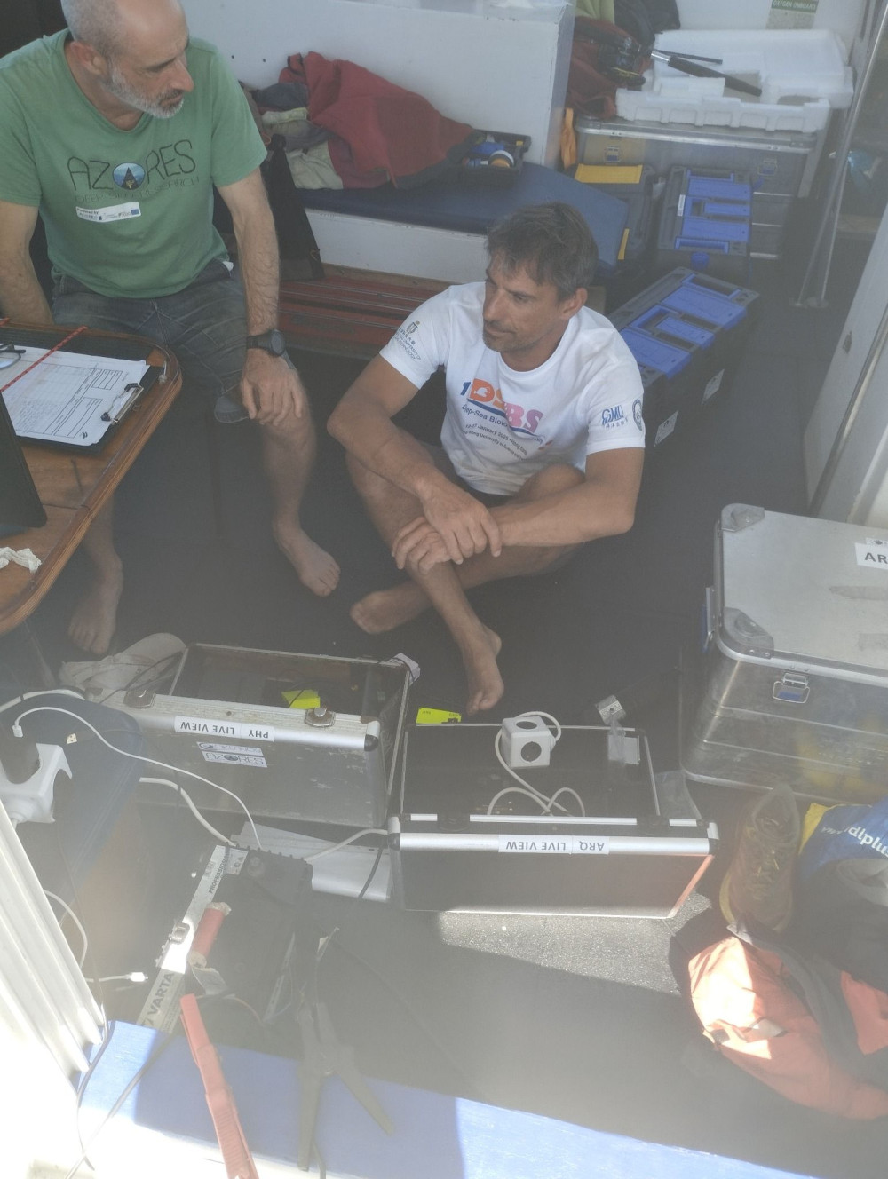
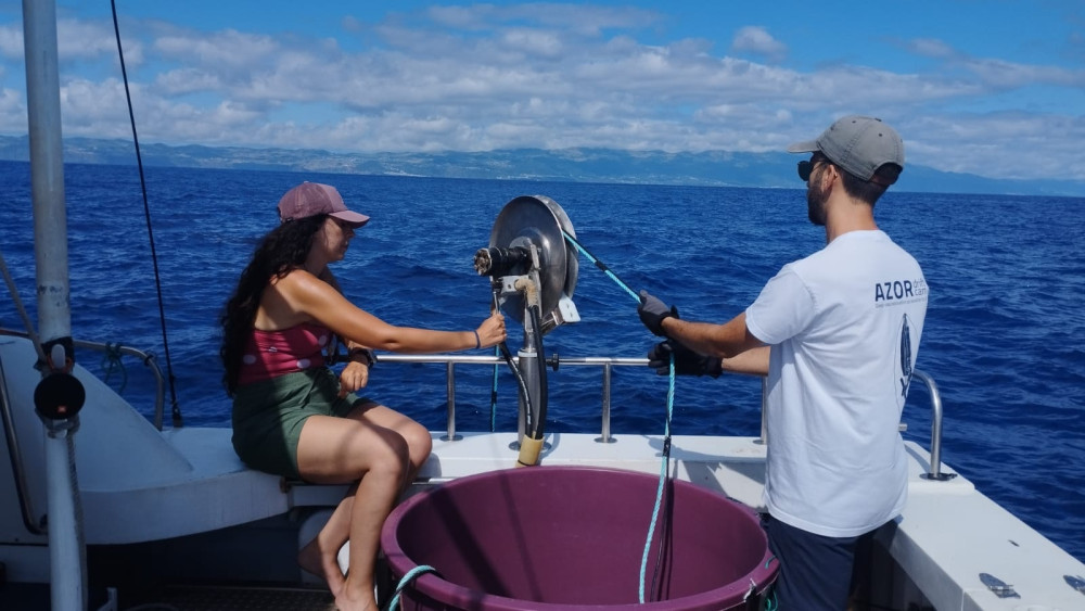
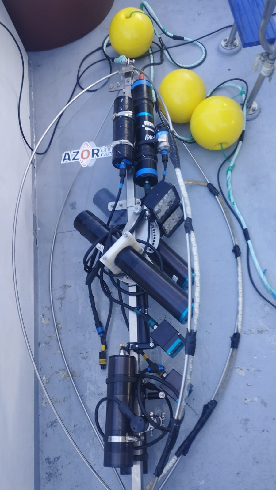
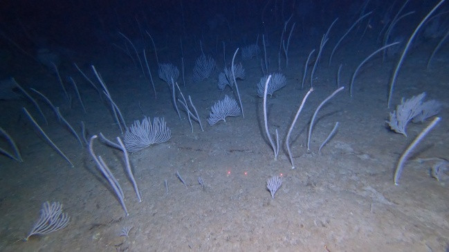
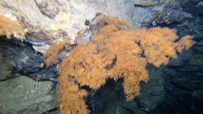
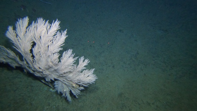
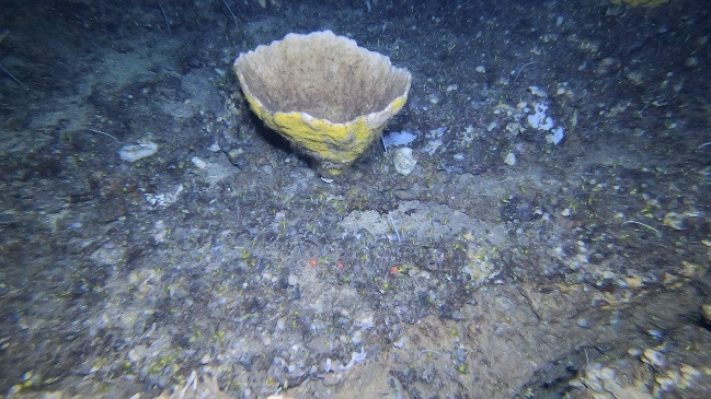
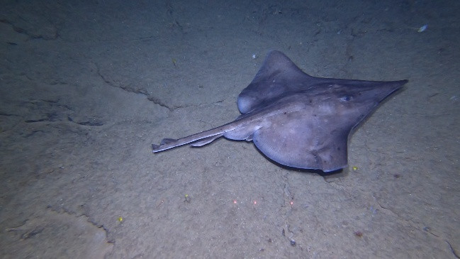
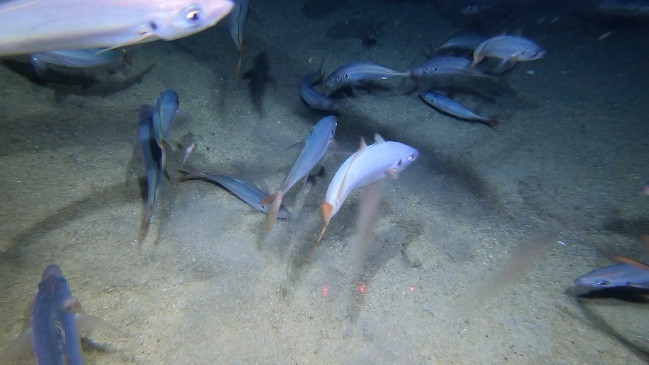
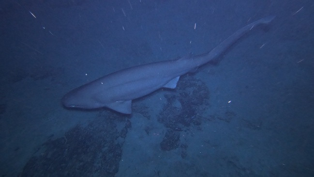
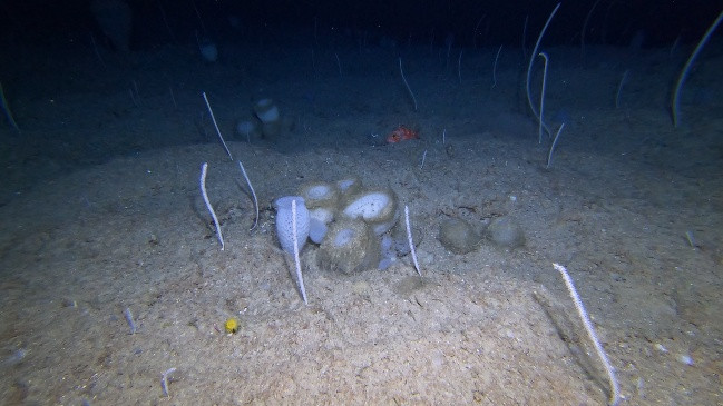
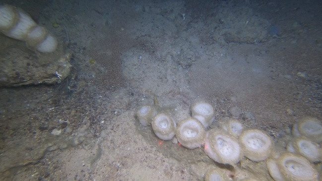
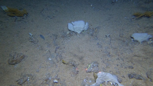
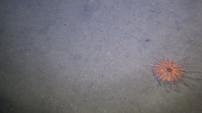
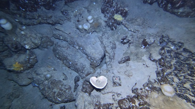
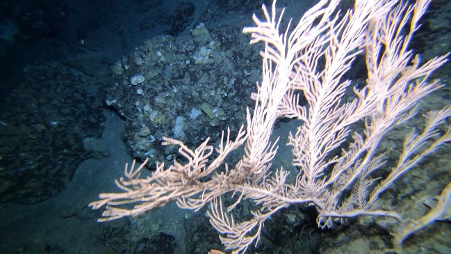
The MapGES 2025 cruise aboard MT Physeter consisted of 1 leg, divided in 3 parts, aimed at exploring and revisiting slopes, banks, ridges, and seamounts surrounding Faial, Pico, Graciosa and Terceira Islands. A total of 40 successful dives were conducted out of 41 planned, covering 11 sampling areas. During Leg 1a, on the 4th of June, we performed 2 successful dives with the Azor drift-cam. These first deployments surveyed the deep-sea benthic communities dwelling on the slopes of the geomorphological structures on the north flank of Faial Island. These first dives were also a practical test to experience some add-ons on our structure, such as the external feeding of the GoPro camera, the implementation of a second spotlight, the use of a 1500m umbilical cable and the USBL system. During the Leg 1b, from 21st June to 1st of July, we performed 35 successful dives with the Azor drift-cam around Graciosa and Terceira Island slopes and some adjacent geomorphological structures such as Vasco Gil, Ilha Azul E and João de Melo. Several deep dives (>1000 m) were performed during this leg with no major problems across the components of the drift-cam. During the Leg1c, on the 25th of July, we performed 3 successful dives with the Azor drift-cam on the deeper sectors of the NW slopes in Pico Island. During this year’s survey we observed diverse benthic and fish communities, from which we may highlight impressive and extensive aggregations of the primnoid corals Narella versluysi and N. bellissima, in Ilha Azul E, the notably large specimens of the octocoral Callogorgia verticillata, in Maçarico, the black corals Leiopathes expansa, in Beirada de Fora, and Antipathes dichotoma, in Vasco Gil. Also, an incredible and most likely record-breaking aggregation of anguilliform fishes Halosauridae was recorded at approximately 900 m depth in Graciosa S area.
MapGES 2025 continues our longstanding commitment to map deep-sea biodiversity and identifying Vulnerable Marine Ecosystems (VMEs) in the Azores with the Azor drift-cam imagery system. Our 2025 expedition aimed to enhance the data collected in previous surveys by conducting new video transects along the slopes of several islands in the archipelago, including Faial, Pico, Graciosa and Terceira. This fieldwork focused mostly on under-sampled areas and deeper strata. Additionally, we planned to explore one new area, specifically Vasco Gil seamount. Our ultimate goal is to achieve a comprehensive understanding of the deep-sea fauna dwelling on the slopes, banks, and seamounts in these areas. Like previous MapGES cruises, our objectives included: (i) mapping benthic communities in previously unexplored seamounts, ridges, and island slopes; (ii) identifying new areas that meet the FAO definition of Vulnerable Marine Ecosystems; and (iii) determining the distribution patterns of deep-sea benthic biodiversity in the Azores. The results of this cruise added to the previous contributions to identify the environmental drivers that determine the spatial distribution of deep-sea benthic biodiversity in the Azores. It also provides valuable information in the context of Good Environmental Status (GES), Marine Spatial Planning (MSP) and new insights on how to sustainably manage deep-sea ecosystems.
Statistics
Highlights
Location of operation
Faial N, Graciosa NE and S, Vasco Gil N, Ilha Azul E, Terceira E, Beirada de Fora, Maçarico, João de Melo and Pico NW.
Stations
MapGES 2025 MT Physeter
| Leg | Period | Days at sea | Vessel | Departure | Return |
|---|---|---|---|---|---|
| 1 | 04/06/2025 - 04/06/2025 | 1 | MT Physeter | Horta | Horta |
| 2 | 21/06/2025 - 01/07/2025 | 11 | MT Physeter | Horta | Horta |
| 3 | 25/07/2025 - 25/07/2025 | 1 | MT Physeter | Horta | Horta |
A total of 13 days at sea
Activities
Funding

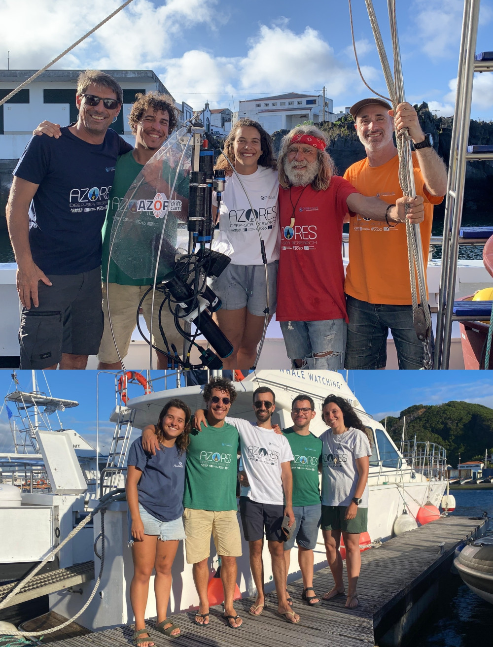
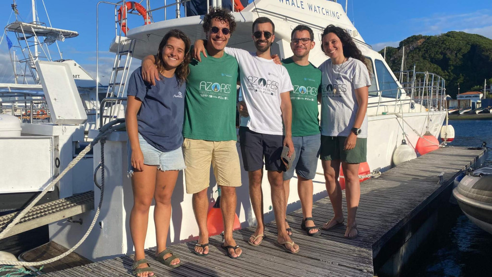
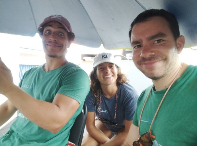
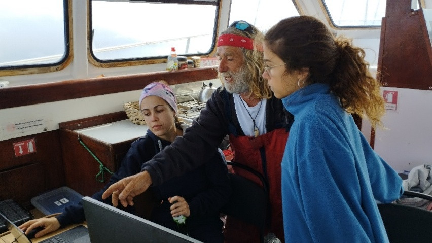
Cruise crew
Chief scientist
Scientific crew

Gabriela Cardoso

Guilherme Gonçalves

Inês Carneiro

Inês Correia Bruno
João Balsa
Luís Rodrigues
Marc Pladevall
Marisa Gomes
Collaborators
Images

Dives images


Location
Departamento de Oceanografia e Pescas — Universidade dos Açores
Rua Prof. Doutor Frederico Machado, No. 4
9901-862 Horta, Portugal
Contact
Email: azoresdeepsea@gmail.com
AZORES DEEP-SEA RESEARCH © 2020-2026 — RELEASE 2.1
 VALTER MEDEIROS