AZORES
DEEP-SEA RESEARCH © CRUISES
Stations
MapGES 2018

Loading…
MapGES 2018
Mapping deep-sea biodiversity and “Good Environmental Status” in the Azores
MapGES 2018
Loading cruise data…
Mapping deep-sea biodiversity and “Good Environmental Status” in the Azores
Location: Dom João de Castro, Alcatraz and Mar da Prata (Eastern Azores EEZ)
Year: 2018
14 stations
11 dives
415 km transits
3 areas visited
Summary
Mapping deep-sea biodiversity and “Good Environmental Status” in the Azores
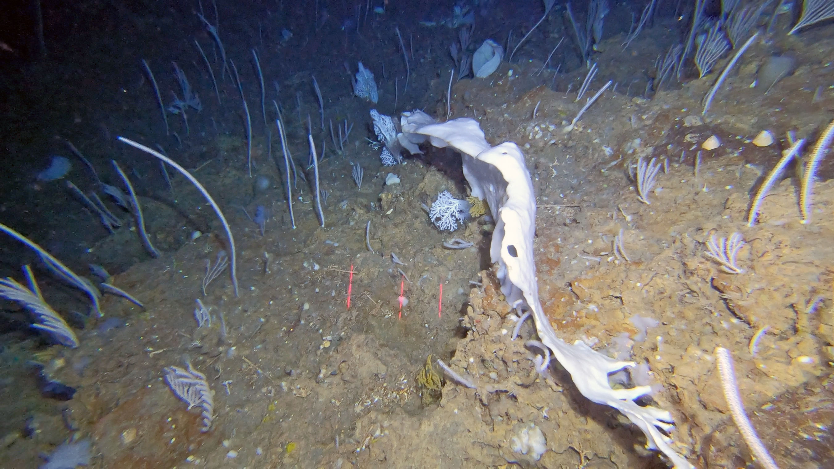
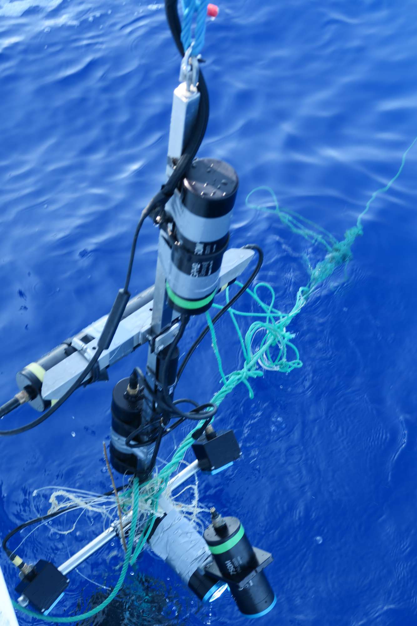
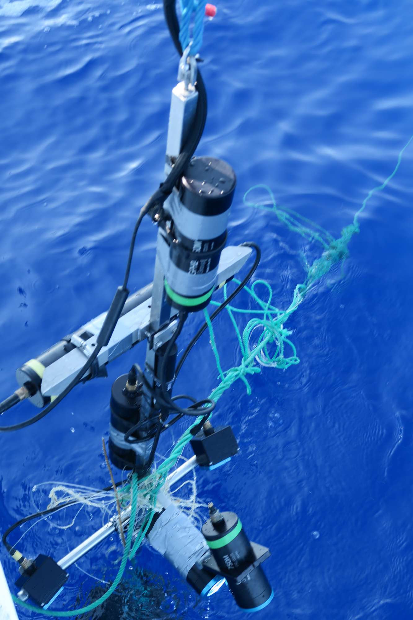
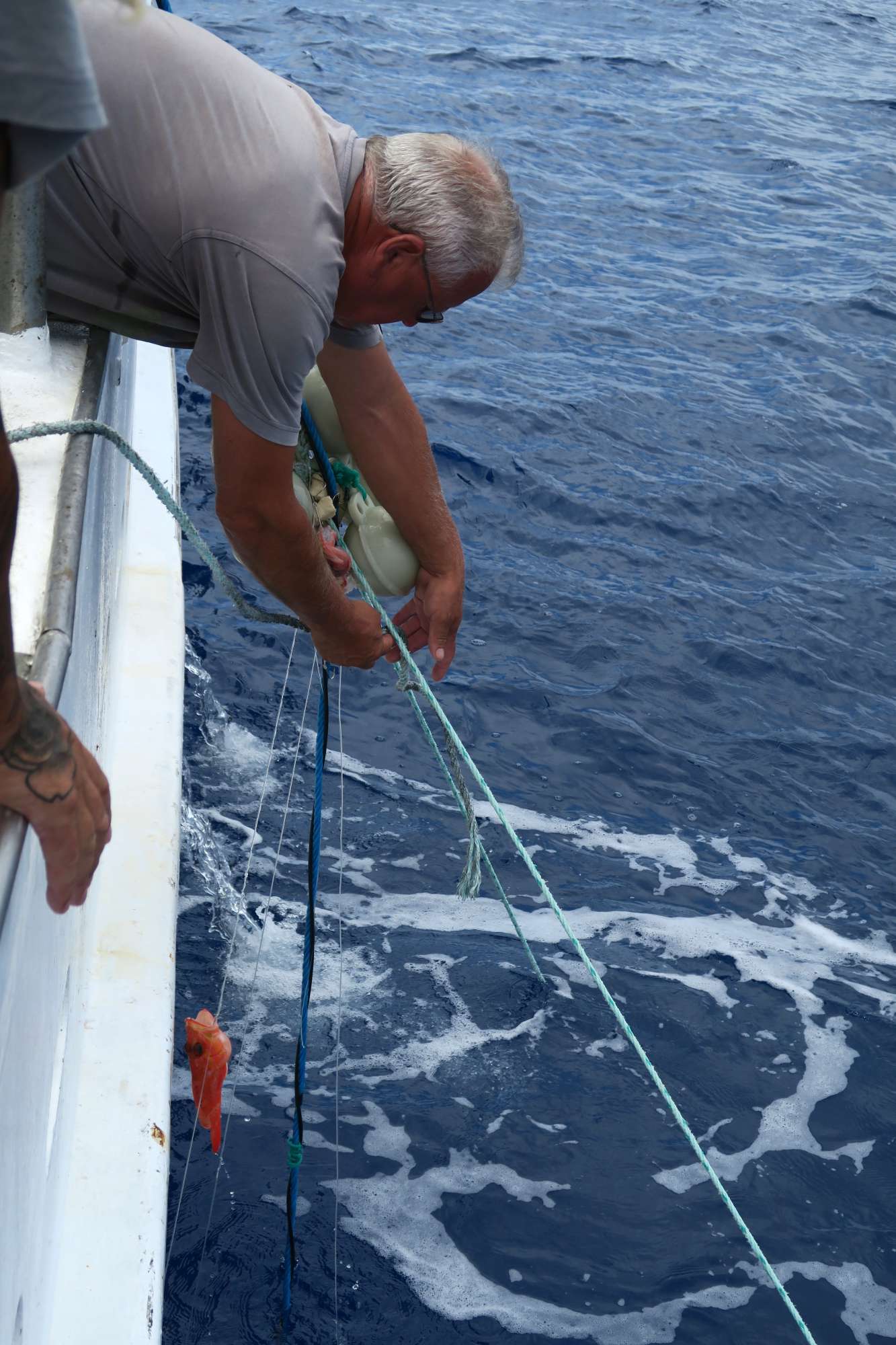
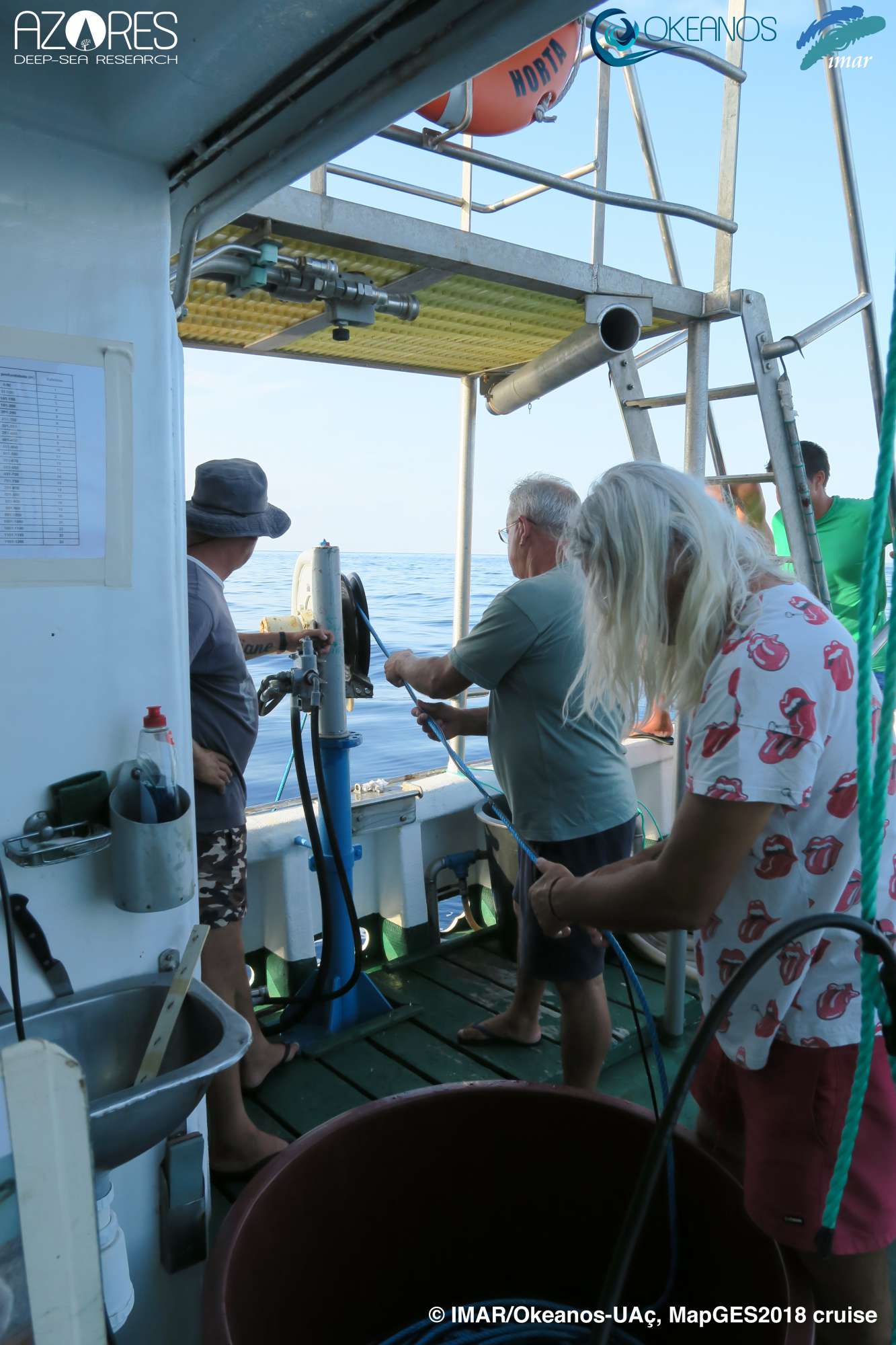
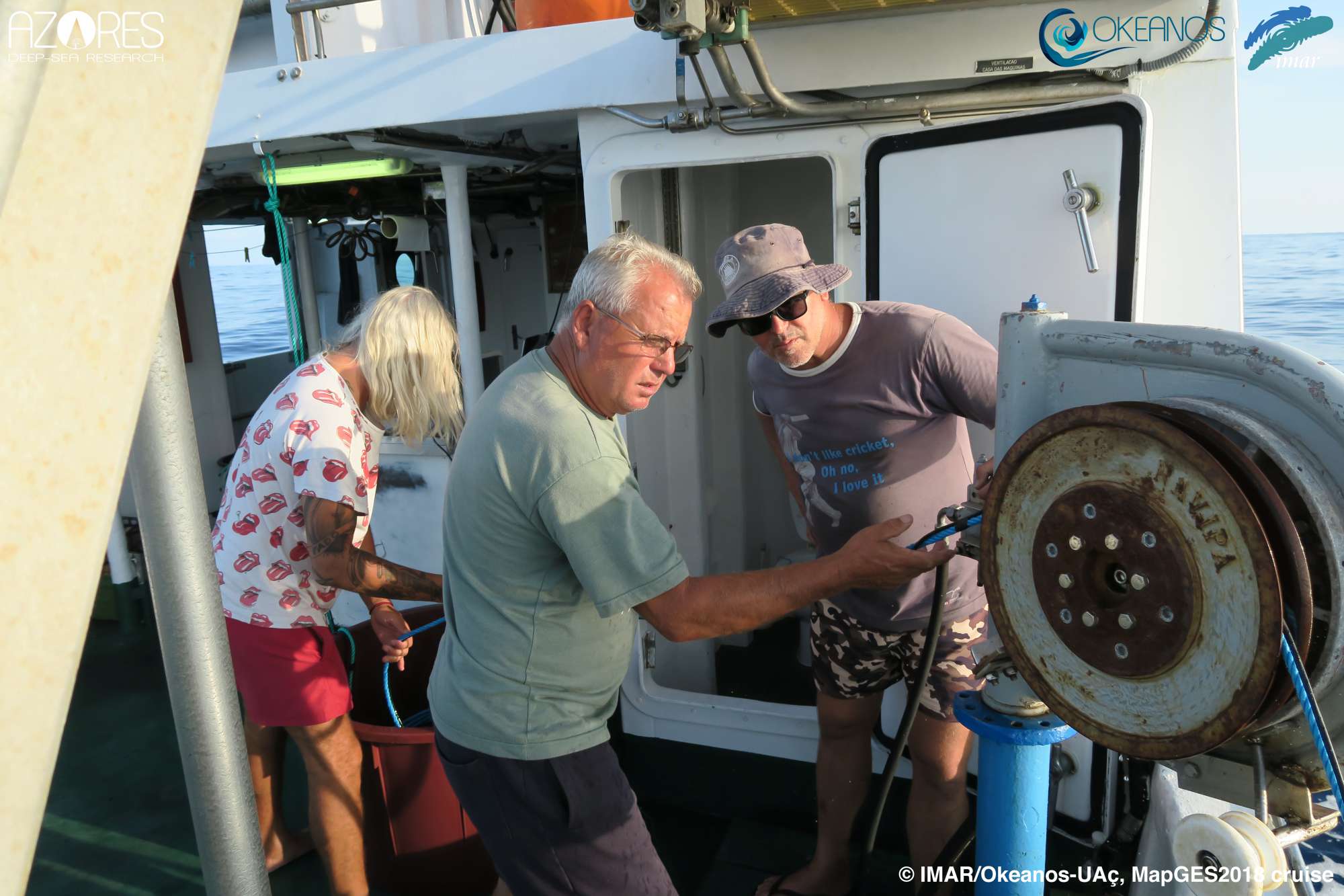
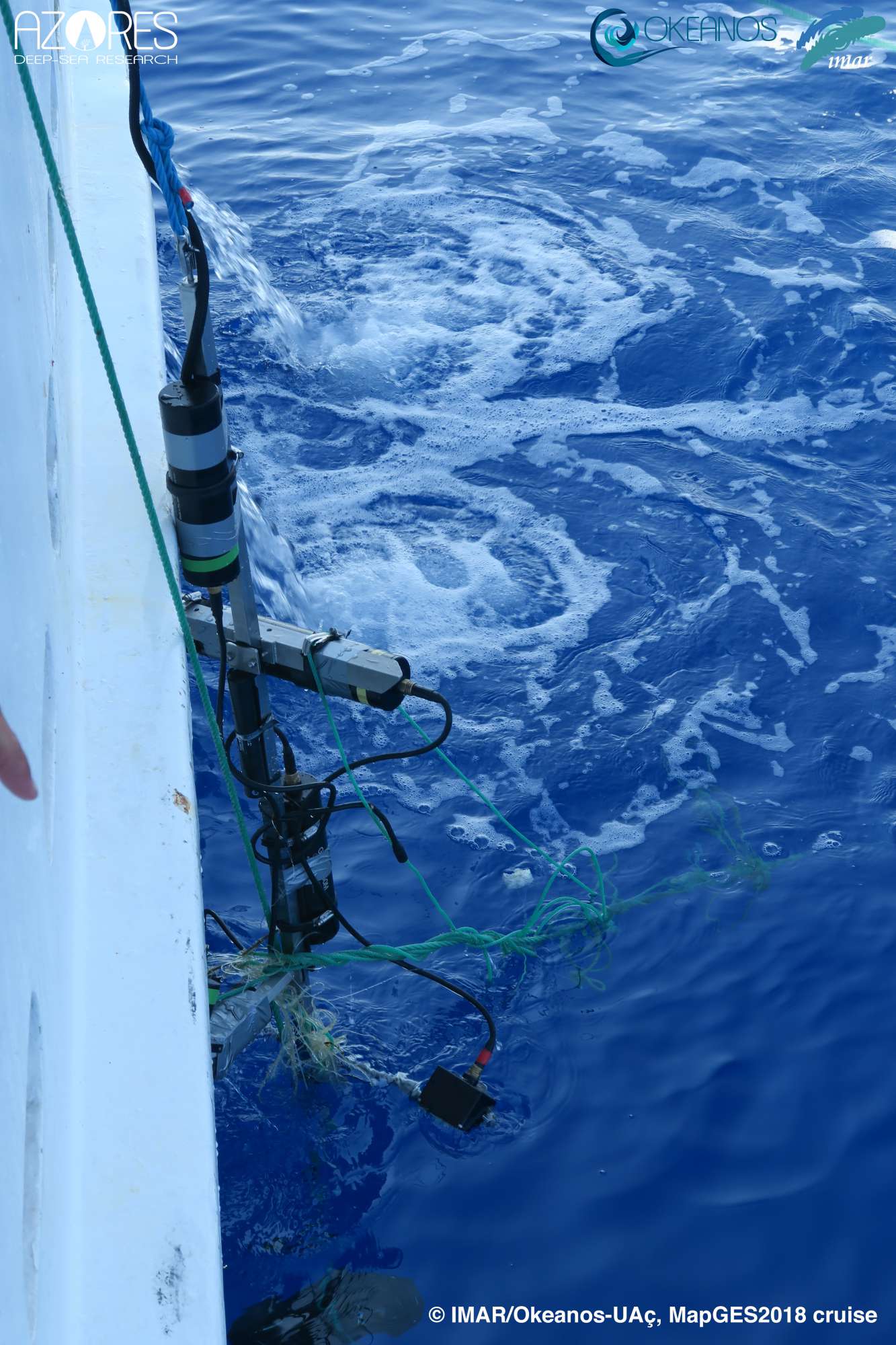
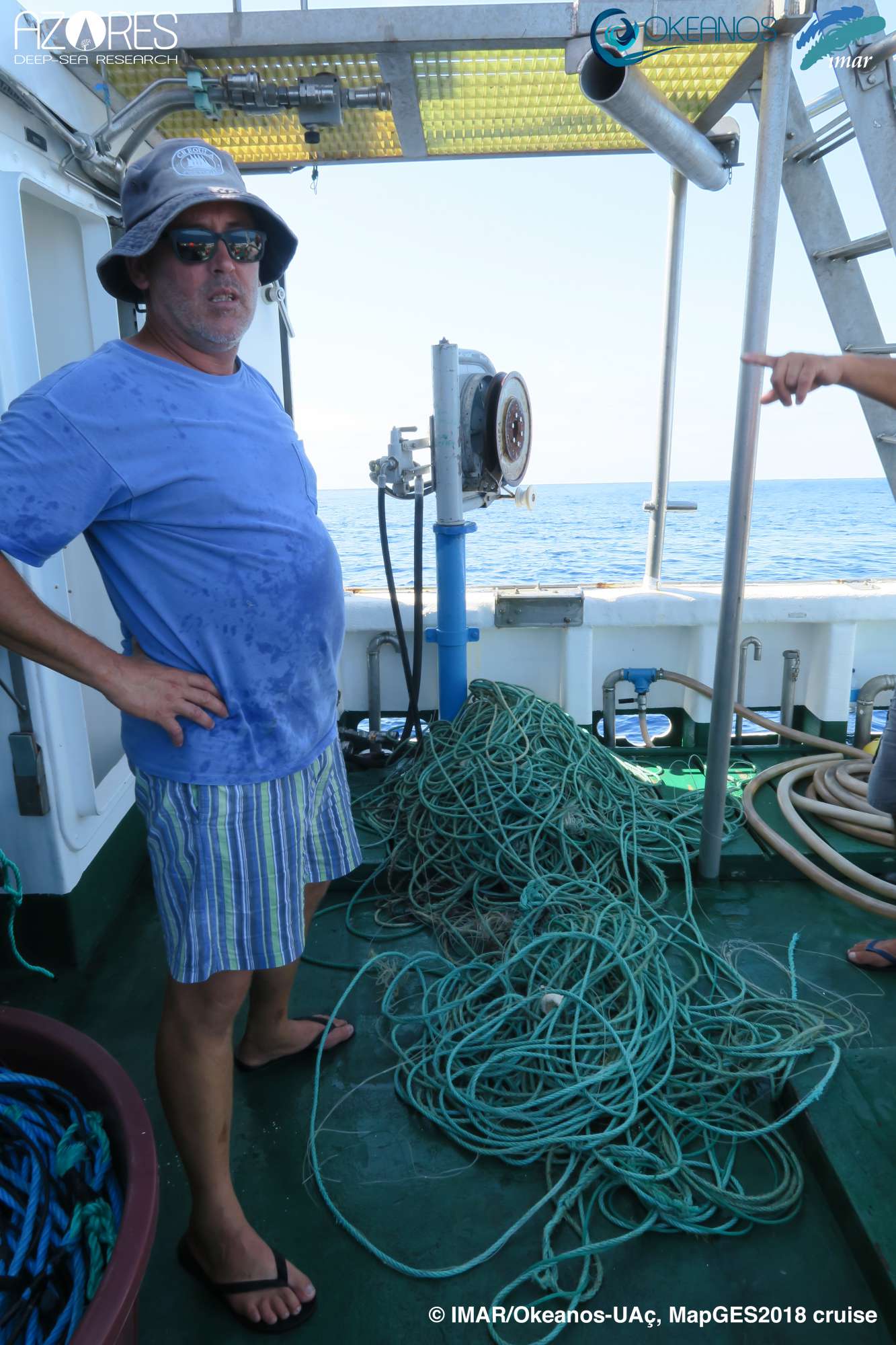
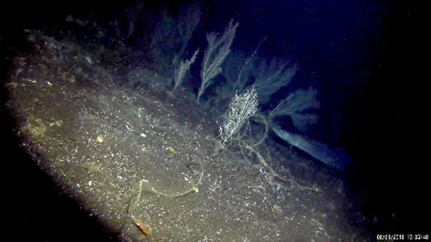
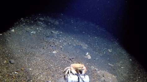
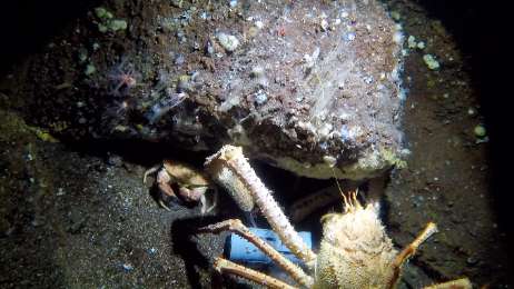
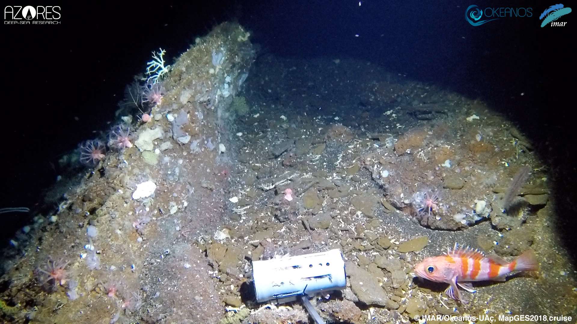
The MapGES 2018 cruise spanned a total of 4 days, in which 3 different areas were explored with the drop-down camera system and BRUVs: Dom João de Castro, Alcatraz and Mar da Prata seamounts. A total of 14 deployments were made using both systems, with four deployments of the drop-down system carried out in Dom João de Castro seamount, four in Alcatraz seamount, and three in the southern part of Mar da Prata seamount. Only three BRUVs were conducted; all in Dom João de Castro seamount. Both devices had never been used before, so the mission was planned as a testing ground, with the idea of identifying the pros and cons of the design and the way we used each of the devices to improve their performance. With this information in hand, both devices were amended for the following cruises, mostly with the idea of increasing the stability of the live view, the light intensity and reducing their propensity to getting entangled around fishing lines.
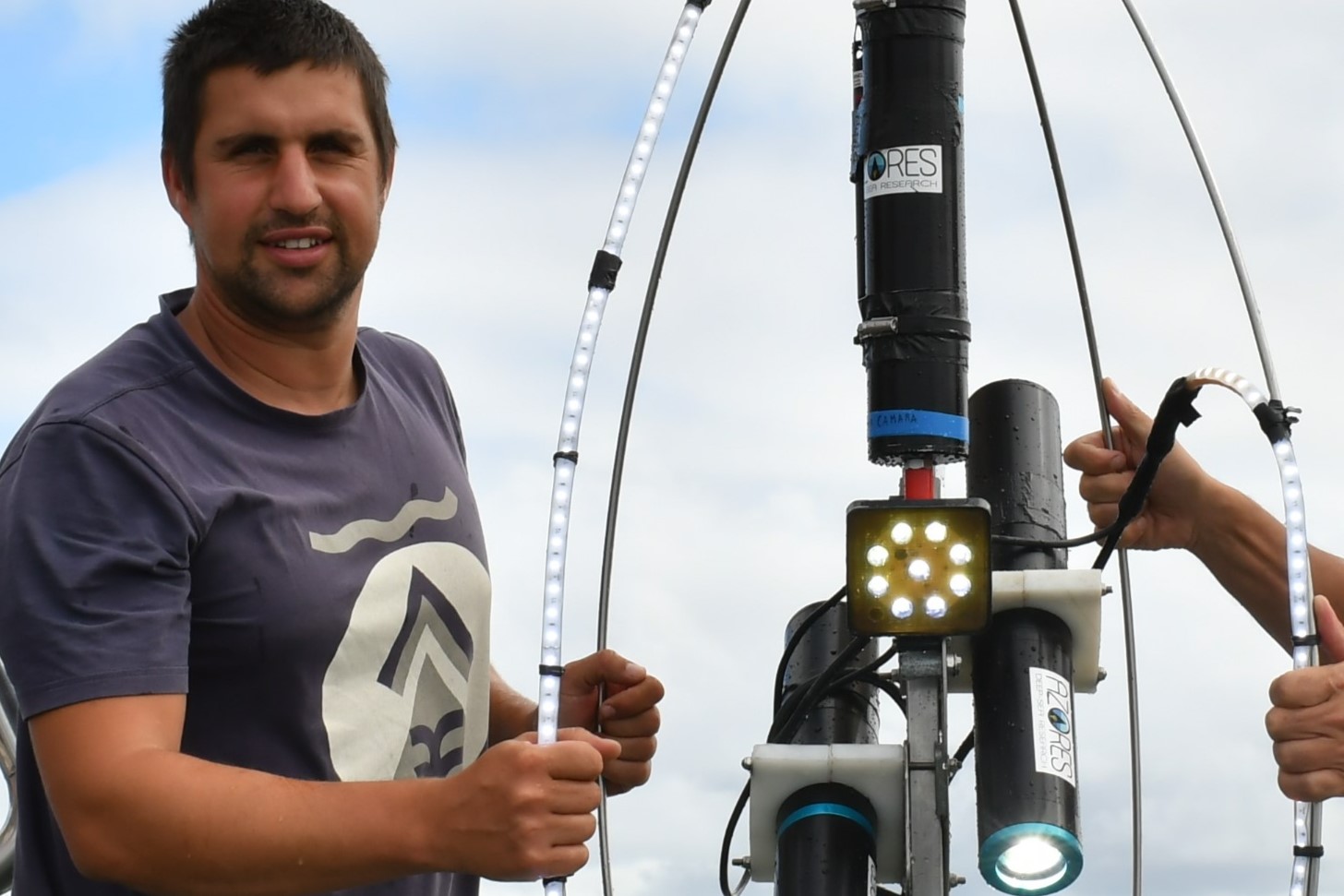
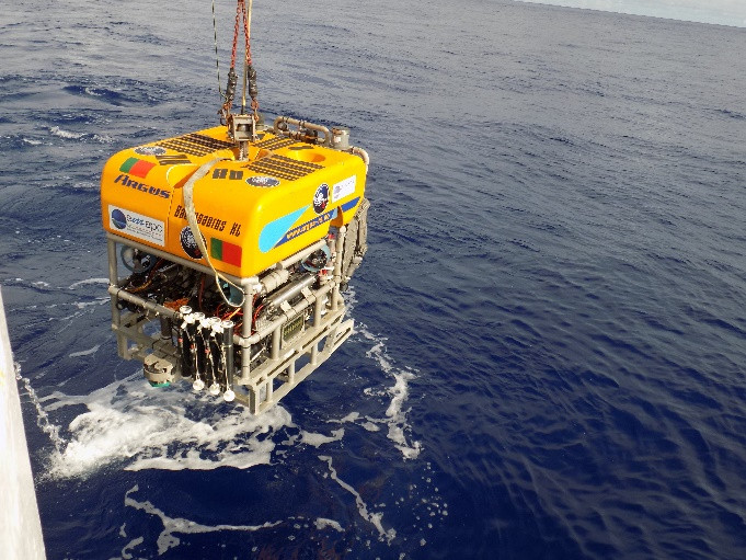
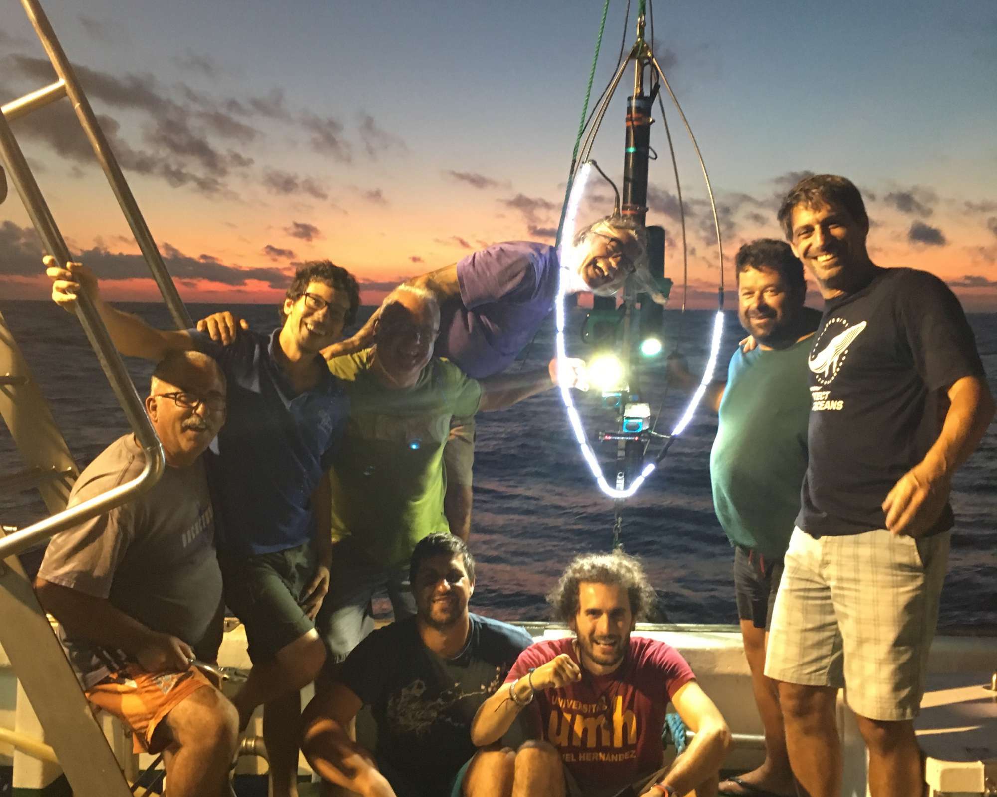
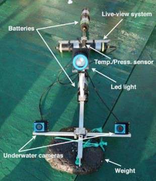
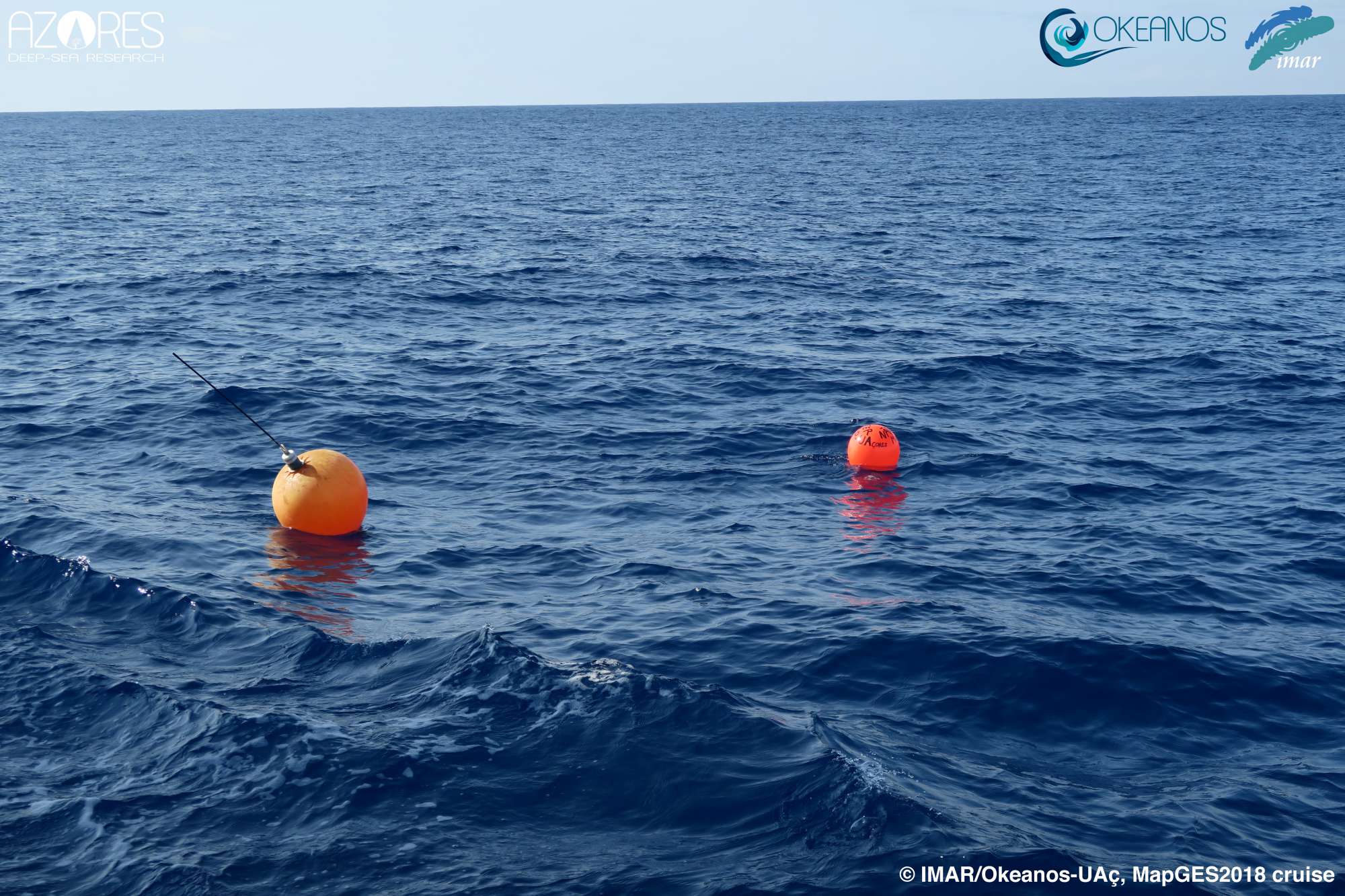
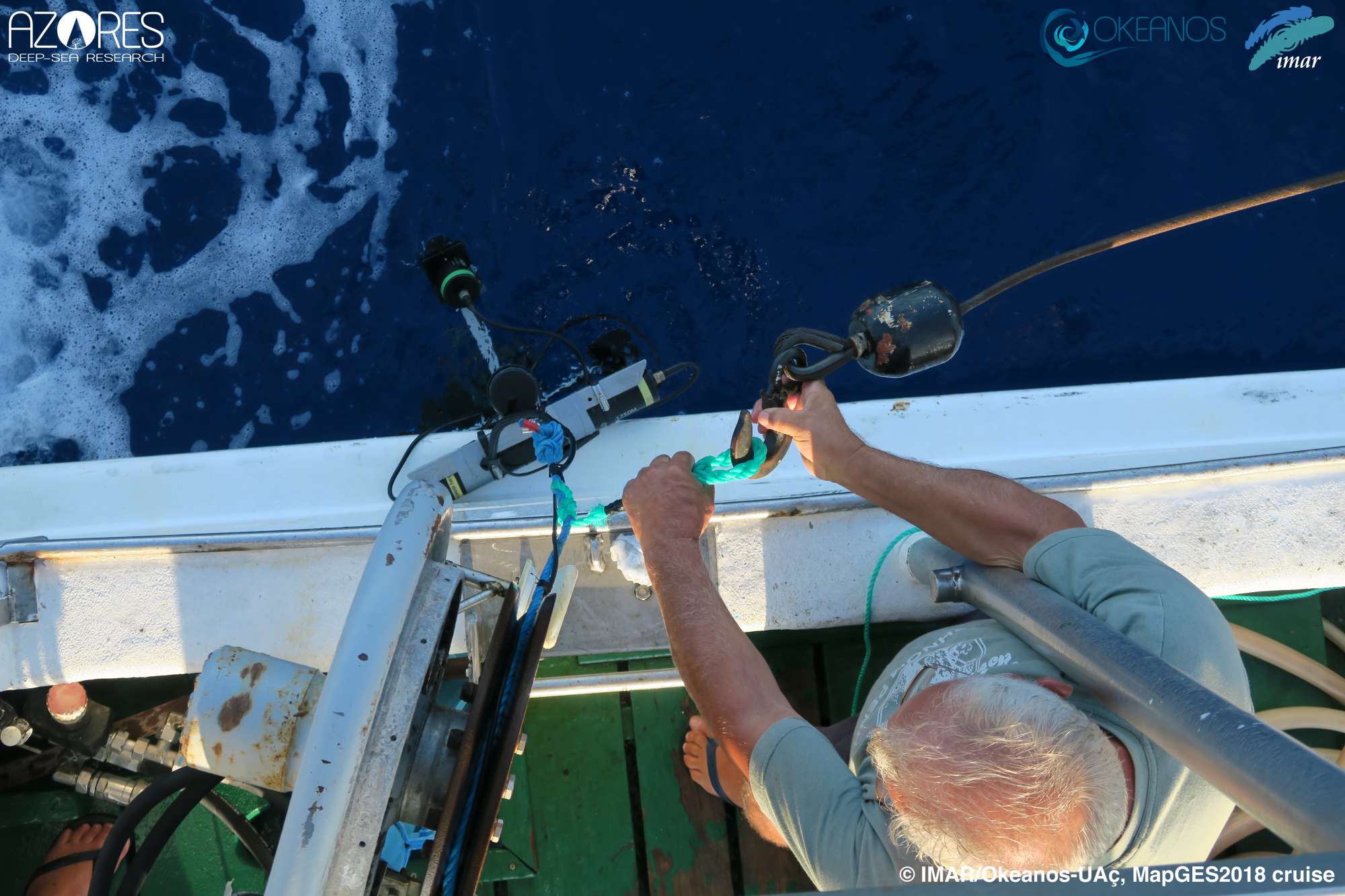
MapGES 2018 aimed to test the first design of a low-cost, custom-made drop-down camera system. The system was capable of working at depths down to 600 m with a live-view signal sent to the surface for navigation purposes. The drop-down system was equipped with two action cameras, which provided a stereoscopic image, allowing for post-processing measurements of the organisms. It was also equipped with external batteries that feed the cameras and the lighting system to maximize the bottom time in each deployment. A Baited Remote Underwater Video equipment (BRUV) was also developed and used to evaluate the fish communities living in each of the explored areas. The BRUV was also equipped with two action cameras, lighting, and temperature and depth sensors, and incorporated a bait box to attract fish and other species.
Statistics
Highlights

Location of operation
Dom João de Castro, Alcatraz and Mar da Prata (Eastern Azores EEZ)
Stations
MapGES 2018
| Leg | Period | Days at sea | Vessel | Departure | Return |
|---|---|---|---|---|---|
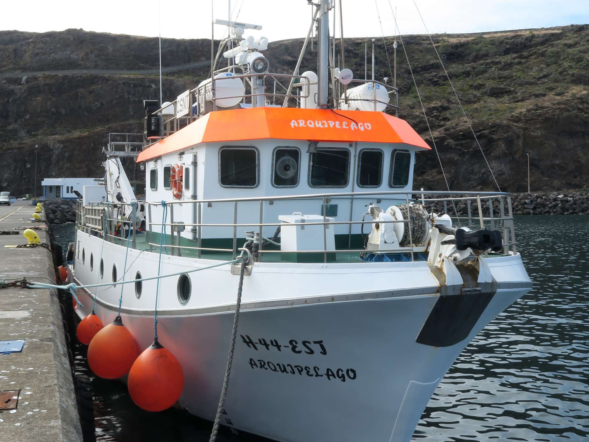
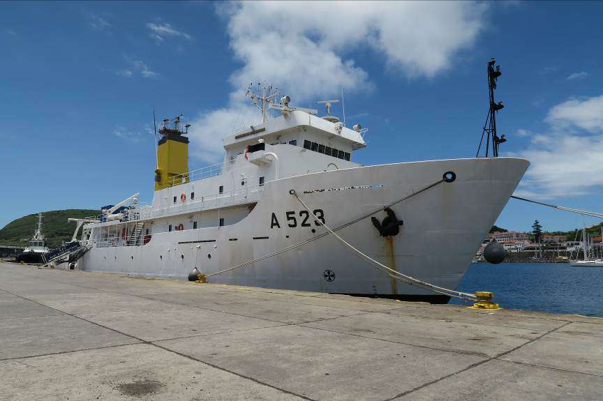
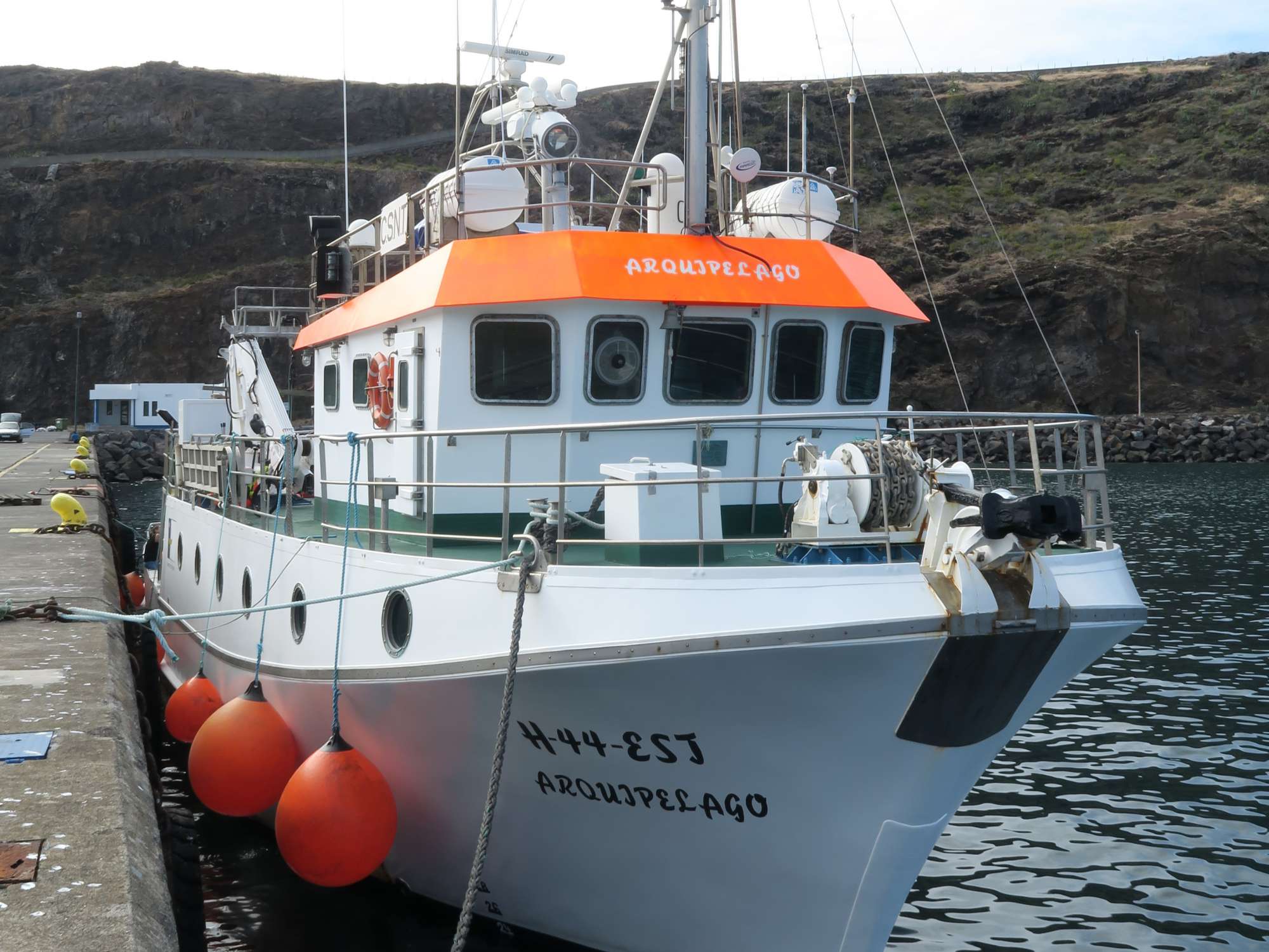
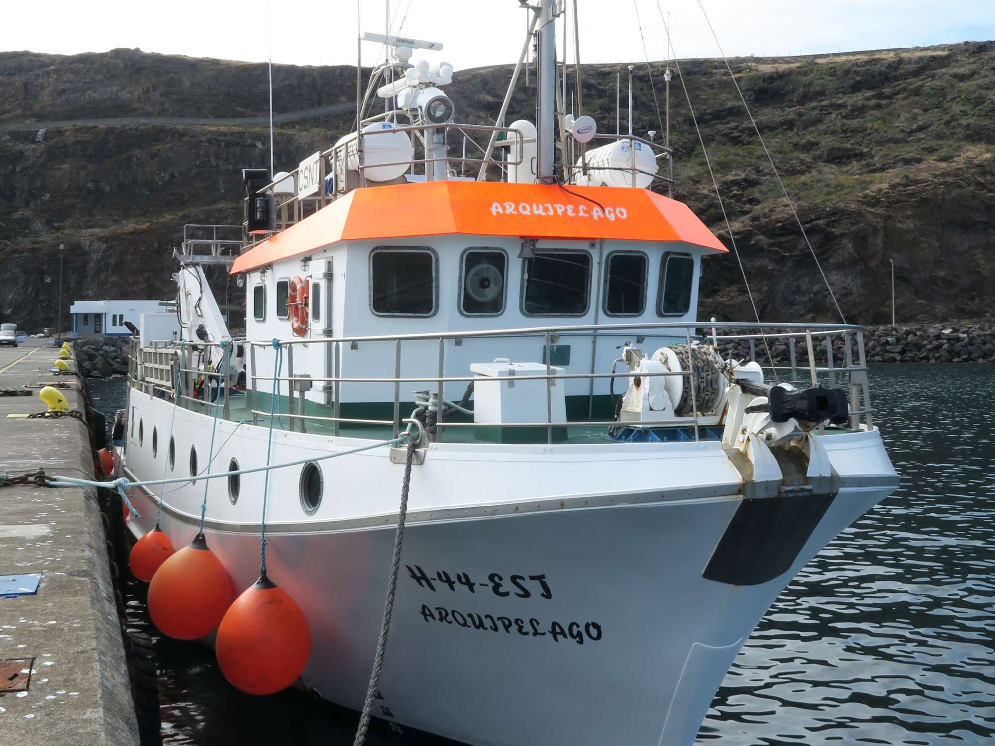
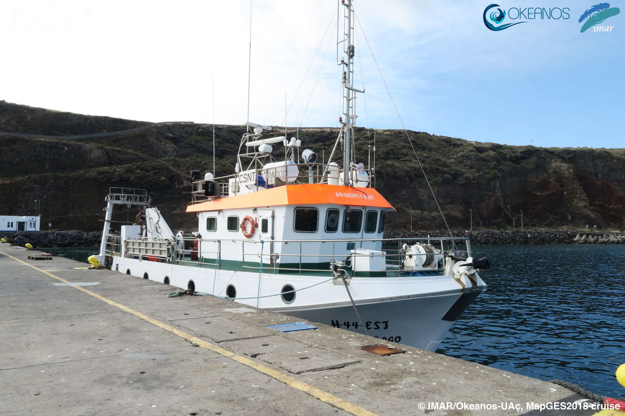
| 1 | 21/08/2018 - 24/08/2018 | 4 | RV Arquipélago | Horta | Vila da Praia |
A total of 4 days at sea
Activities
Cruise crew
Chief scientist
Scientific crew
Collaborators




 ATLAS
A transatlantic assessment and deep-water ecosystem-based spatial management plan for Europe
Funded by European Union’s Horizon 2020
ATLAS
A transatlantic assessment and deep-water ecosystem-based spatial management plan for Europe
Funded by European Union’s Horizon 2020
 MapGES
Mapping deep-sea biodiversity and “Good Environmental Status” in the Azores: assisting with the implementation of EU Marine Strategy Framework Directive
Funded by Regional Government of the Azores, PO Açores 2020, European Regional Development Fund (ERDF / FEDER)
MapGES
Mapping deep-sea biodiversity and “Good Environmental Status” in the Azores: assisting with the implementation of EU Marine Strategy Framework Directive
Funded by Regional Government of the Azores, PO Açores 2020, European Regional Development Fund (ERDF / FEDER)
 BIOMETORE 2015
 to the Great Meteor Complex seamounts
BIOMETORE 2015
BIOMETORE 2015 to the Great Meteor Complex seamounts
 Blue Azores 2018
Blue Azores Program: Expedition 2018
Blue Azores 2018
Blue Azores Program: Expedition 2018
 iMAR 2021
Integrated assessment of the distribution of Vulnerable Marine Ecosystem along the Mid-Atlantic Ridge in the Azores region
iMAR 2021
Integrated assessment of the distribution of Vulnerable Marine Ecosystem along the Mid-Atlantic Ridge in the Azores region
 MapGES 2018
Mapping deep-sea biodiversity and “Good Environmental Status” in the Azores
MapGES 2018
Mapping deep-sea biodiversity and “Good Environmental Status” in the Azores
 MapGES 2019
Mapping deep-sea biodiversity and “Good Environmental Status” in the Azores
MapGES 2019
Mapping deep-sea biodiversity and “Good Environmental Status” in the Azores
 NICO Leg 12 2018
RV Pelagia cruise 64PE441: Rainbow hydrothermal vent, southern MAR, and Terceira 2018
NICO Leg 12 2018
RV Pelagia cruise 64PE441: Rainbow hydrothermal vent, southern MAR, and Terceira 2018
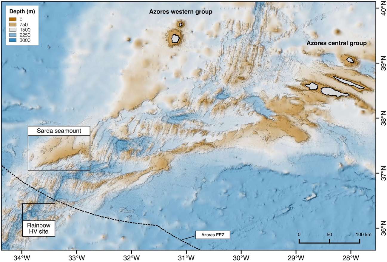 Rainbow 2019
RV Pelagia cruise 64PE454: Rainbow hydrothermal vent and southern MAR 2019
ATLAS
A transatlantic assessment and deep-water ecosystem-based spatial management plan for Europe
Funded by European Union’s Horizon 2020
Rainbow 2019
RV Pelagia cruise 64PE454: Rainbow hydrothermal vent and southern MAR 2019
ATLAS
A transatlantic assessment and deep-water ecosystem-based spatial management plan for Europe
Funded by European Union’s Horizon 2020
 Blue Azores
Blue Paper Cooperation protocol
Funded by Fundação Oceano Azul
Blue Azores
Blue Paper Cooperation protocol
Funded by Fundação Oceano Azul
 DeepWalls
Exploring pristine deep-sea walls to establish baselines for Good Environmental Status in the Azores
Funded by Regional Government of the Azores, PO Açores 2020, European Regional Development Fund (ERDF / FEDER)
DeepWalls
Exploring pristine deep-sea walls to establish baselines for Good Environmental Status in the Azores
Funded by Regional Government of the Azores, PO Açores 2020, European Regional Development Fund (ERDF / FEDER)
 iAtlantic
Integrated Assessment of Atlantic Marine Ecosystems in Space and Time
Funded by European Union’s Horizon 2020
MapGES
Mapping deep-sea biodiversity and “Good Environmental Status” in the Azores: assisting with the implementation of EU Marine Strategy Framework Directive
Funded by Regional Government of the Azores, PO Açores 2020, European Regional Development Fund (ERDF / FEDER)
iAtlantic
Integrated Assessment of Atlantic Marine Ecosystems in Space and Time
Funded by European Union’s Horizon 2020
MapGES
Mapping deep-sea biodiversity and “Good Environmental Status” in the Azores: assisting with the implementation of EU Marine Strategy Framework Directive
Funded by Regional Government of the Azores, PO Açores 2020, European Regional Development Fund (ERDF / FEDER)
 MERCES
Marine Ecosystem Restoration in Changing European Seas
Funded by European Union’s Horizon 2020
MERCES
Marine Ecosystem Restoration in Changing European Seas
Funded by European Union’s Horizon 2020
Images

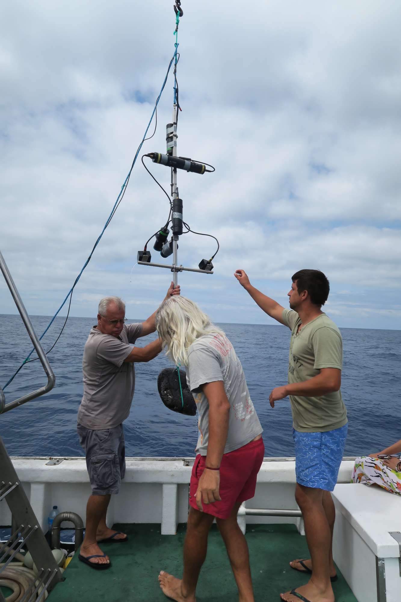



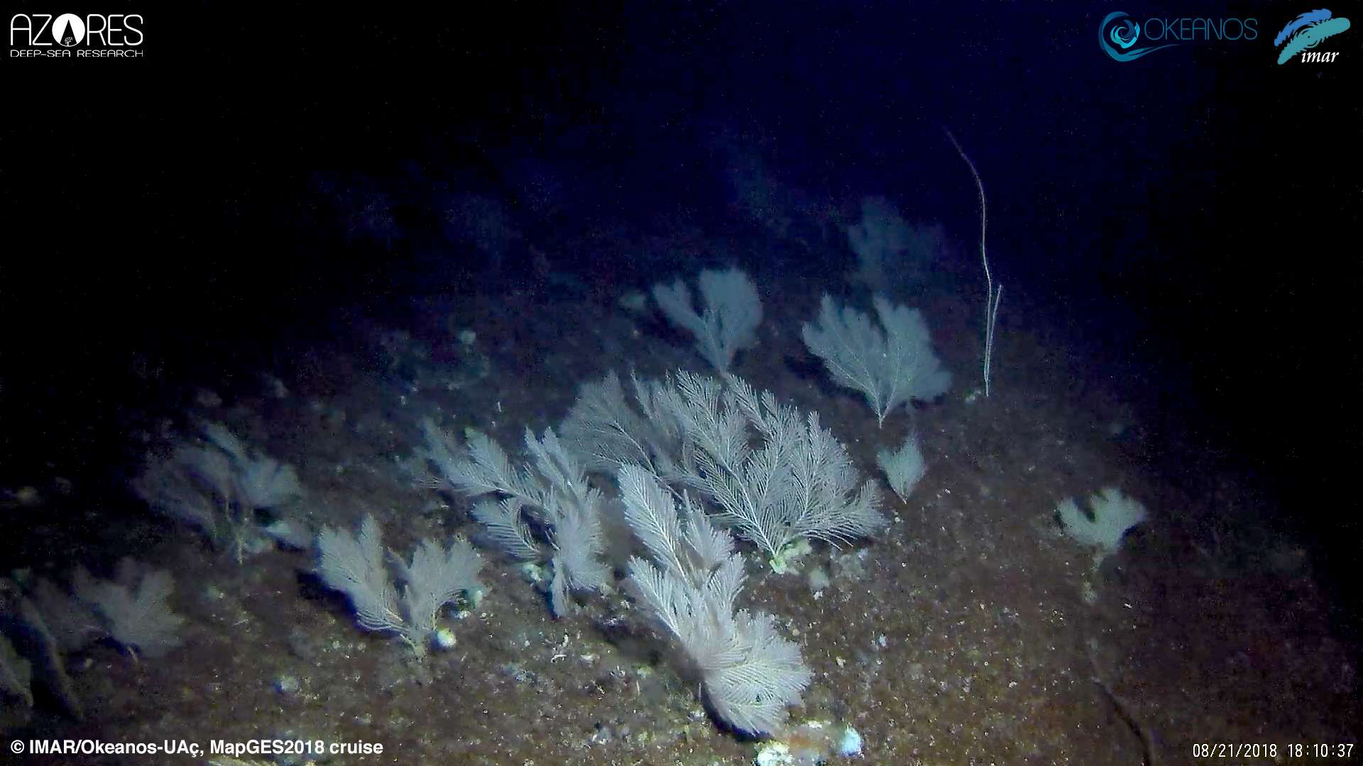
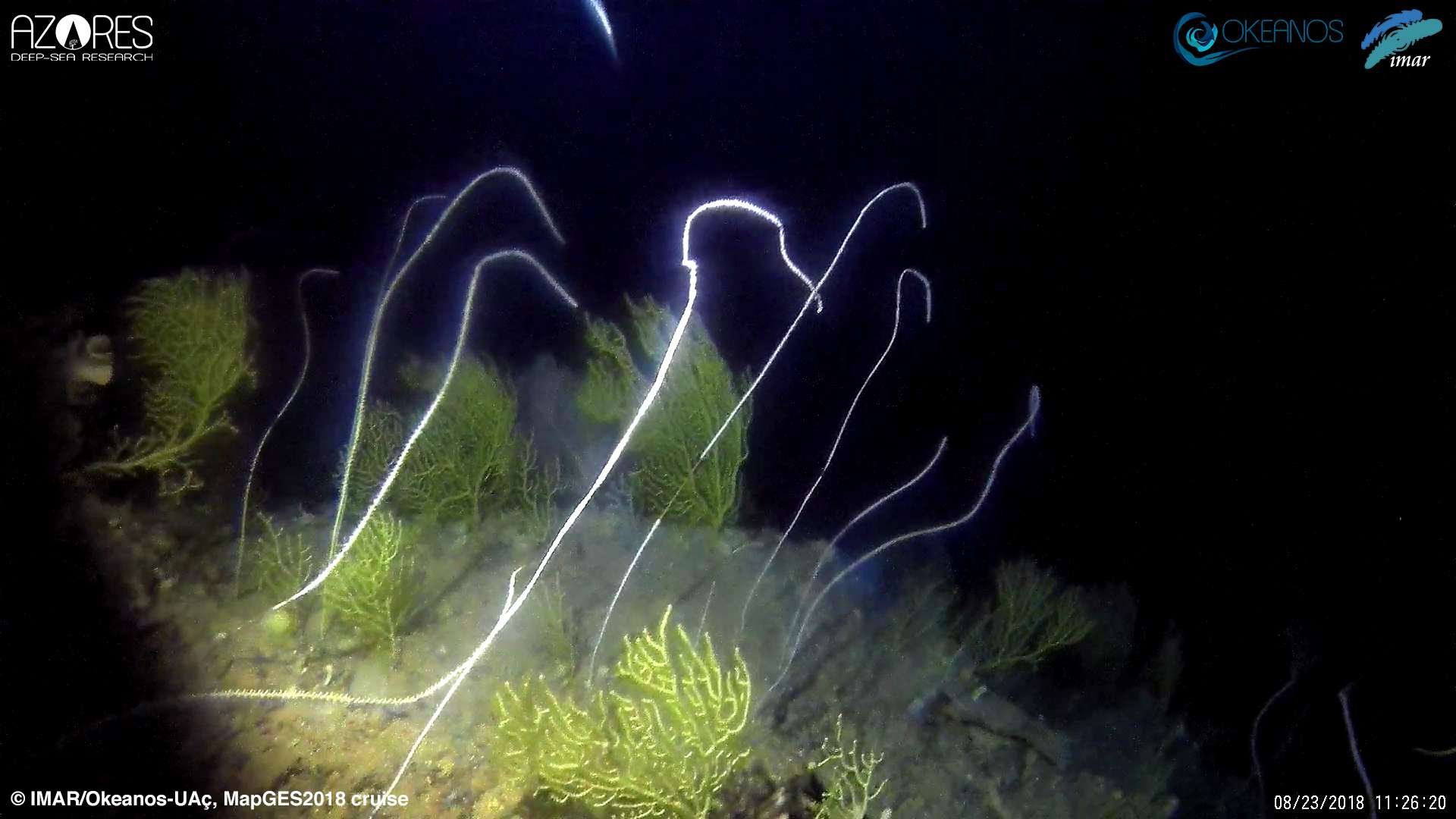
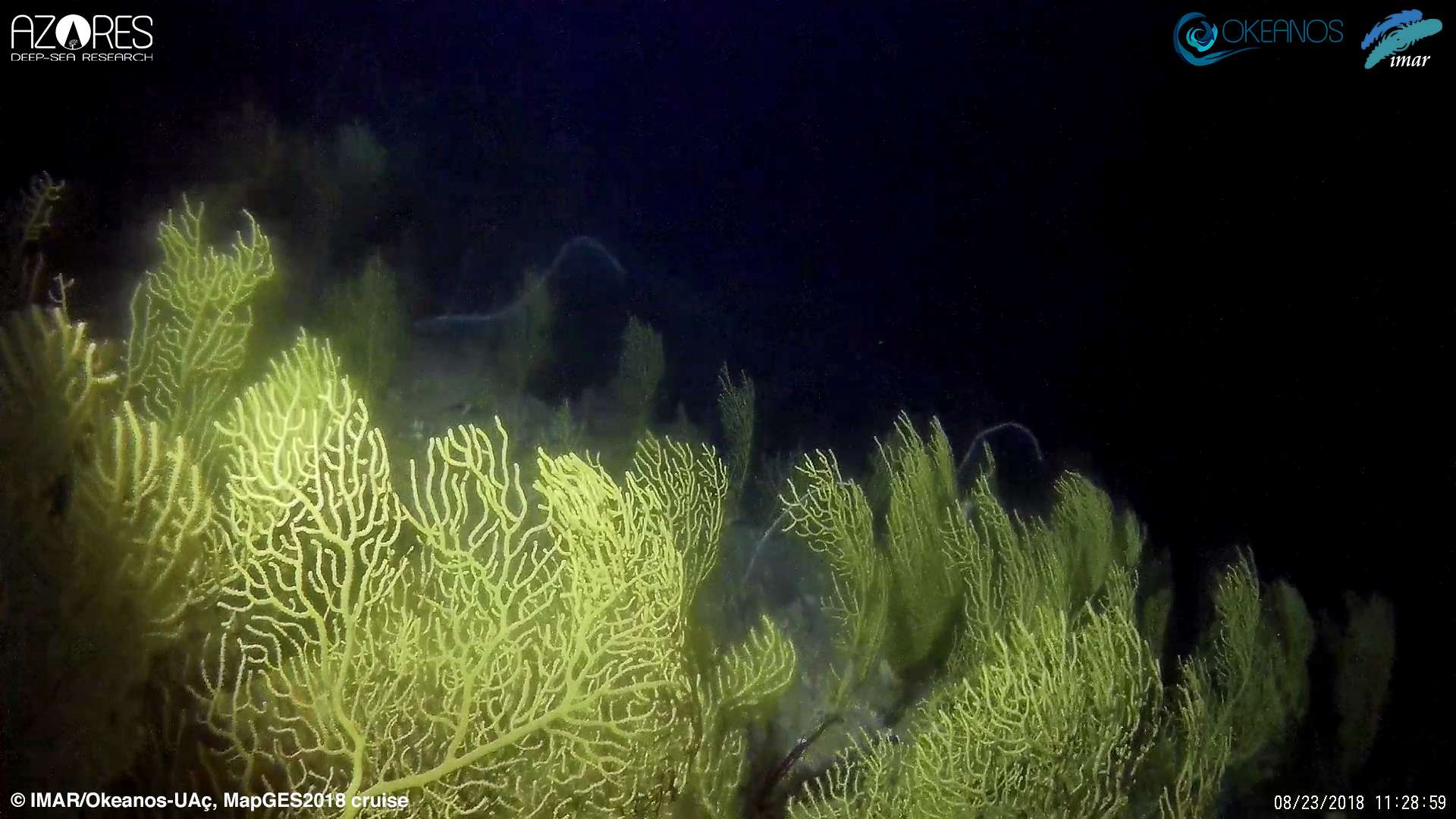
Dives images














Location
Departamento de Oceanografia e Pescas — Universidade dos Açores
Rua Prof. Doutor Frederico Machado, No. 4
9901-862 Horta, Portugal
Contact
Email: azoresdeepsea@gmail.com

AZORES DEEP-SEA RESEARCH © 2020-2026 — RELEASE 2.1
 VALTER MEDEIROS