AZORES
DEEP-SEA RESEARCH © CRUISES
Stations
NICO Leg 12 2018
Loading…
NICO Leg 12 2018
RV Pelagia cruise 64PE441: Rainbow hydrothermal vent, southern MAR, and Terceira 2018
NICO Leg 12 2018
Loading cruise data…
RV Pelagia cruise 64PE441: Rainbow hydrothermal vent, southern MAR, and Terceira 2018
Location: Southern Mid-Atlantic Ridge, Cavalo seamount, and Terceira island (Azores EEZ and extended continental shelf)
Year: 2018
4 stations
4 dives
1420 km transits
2 areas visited
Summary
RV Pelagia cruise 64PE441: Rainbow hydrothermal vent, southern MAR, and Terceira 2018
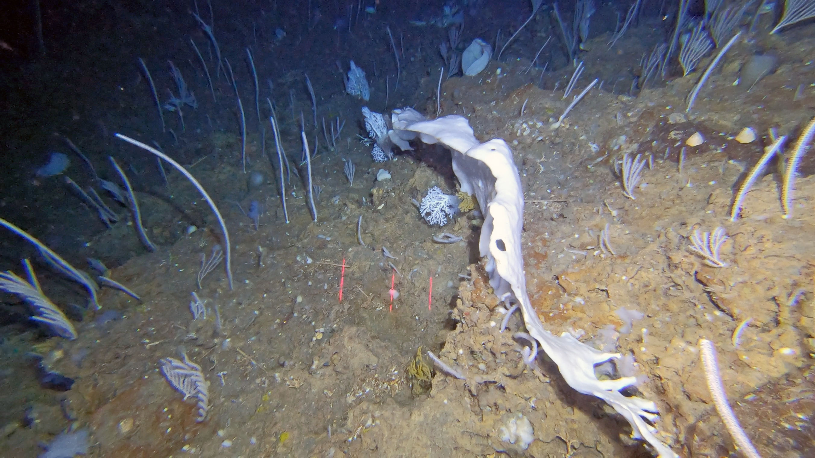
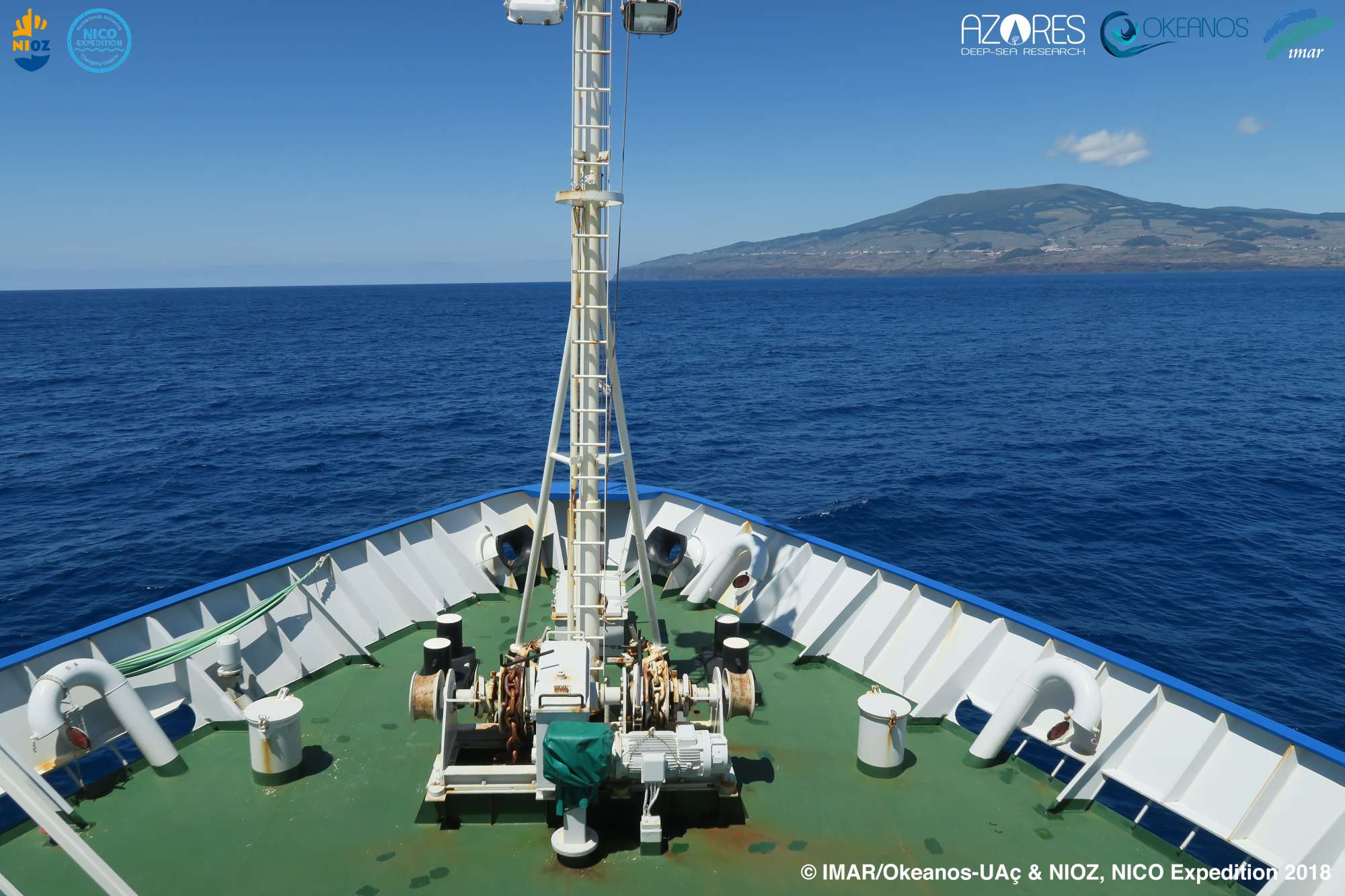
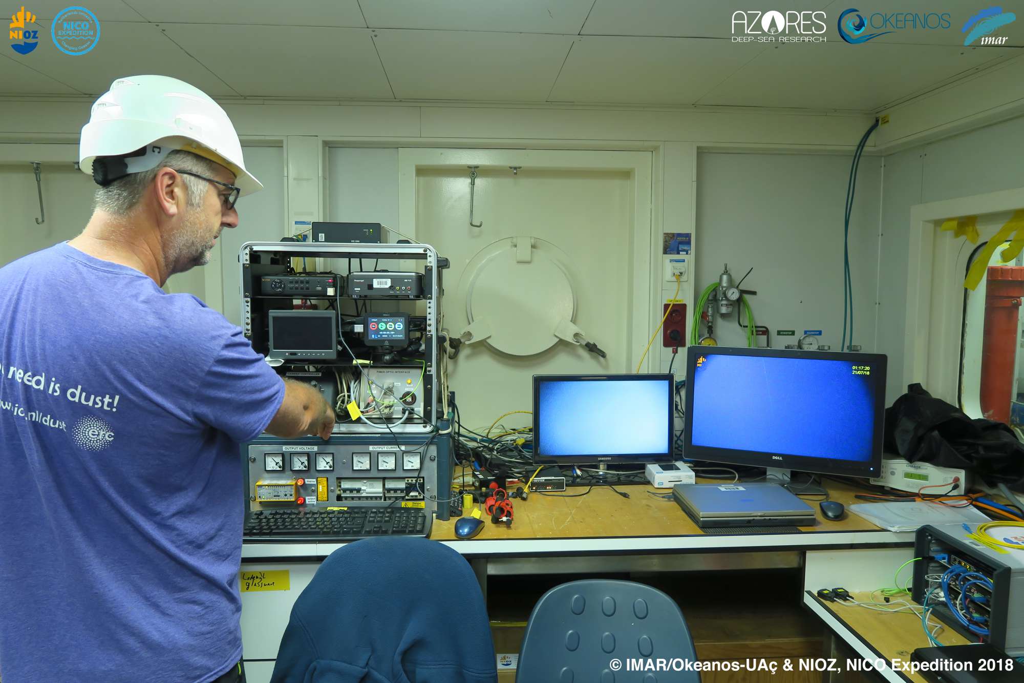
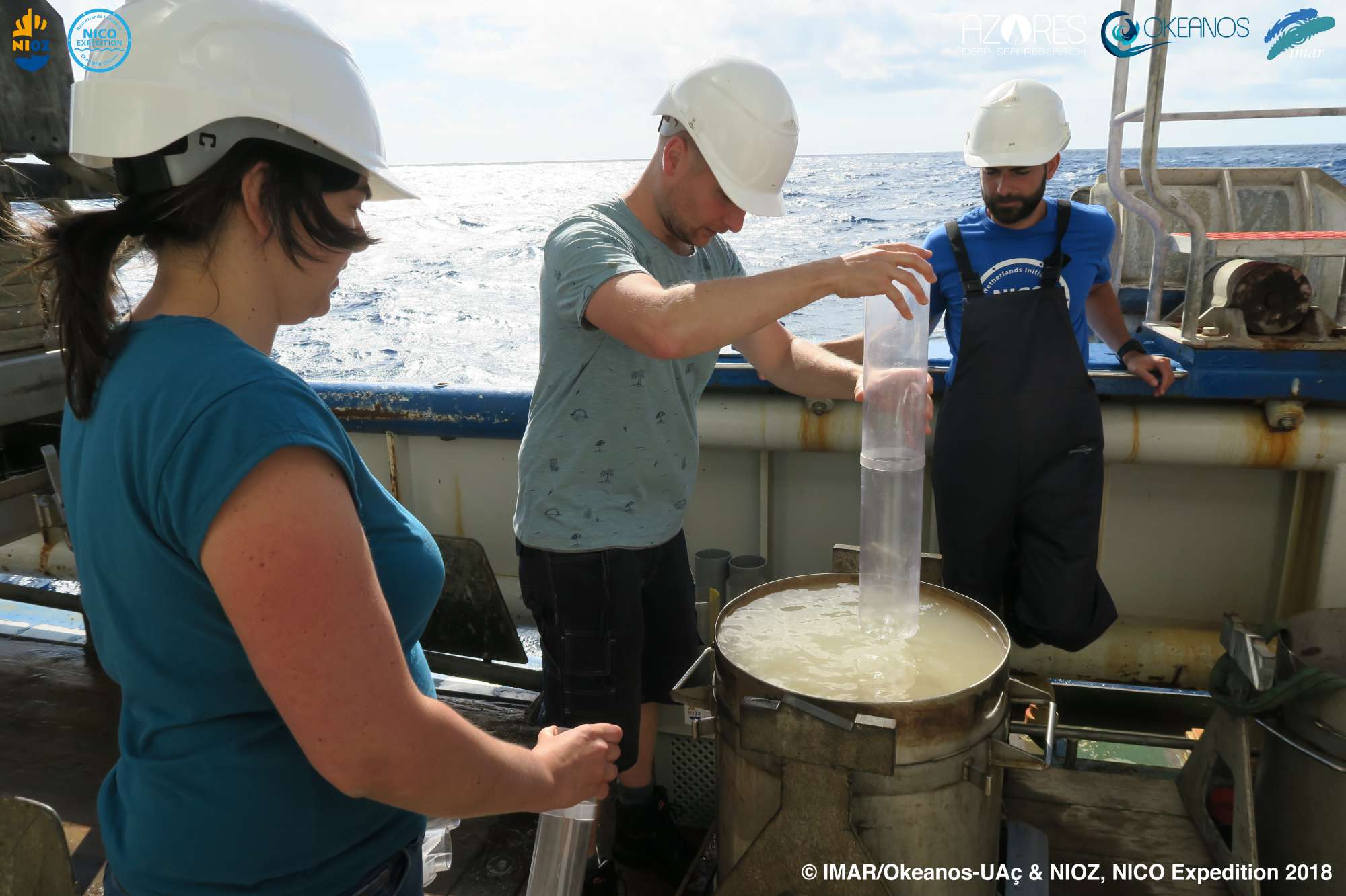
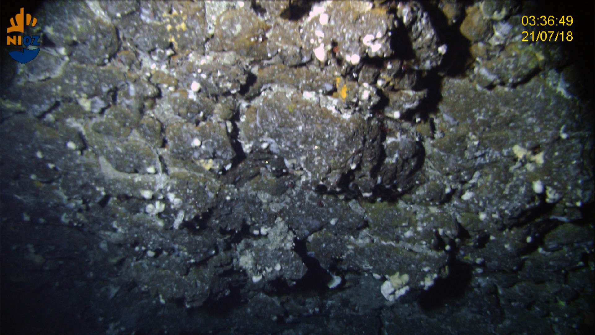
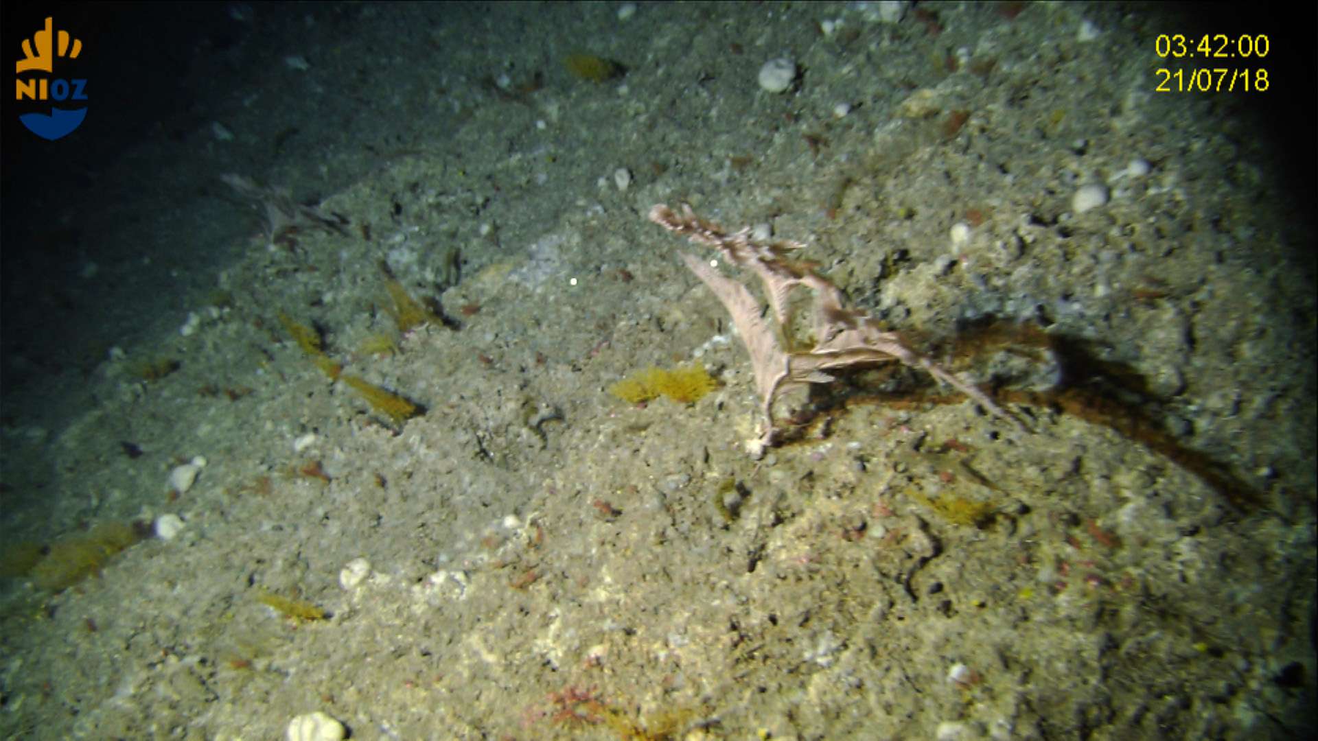
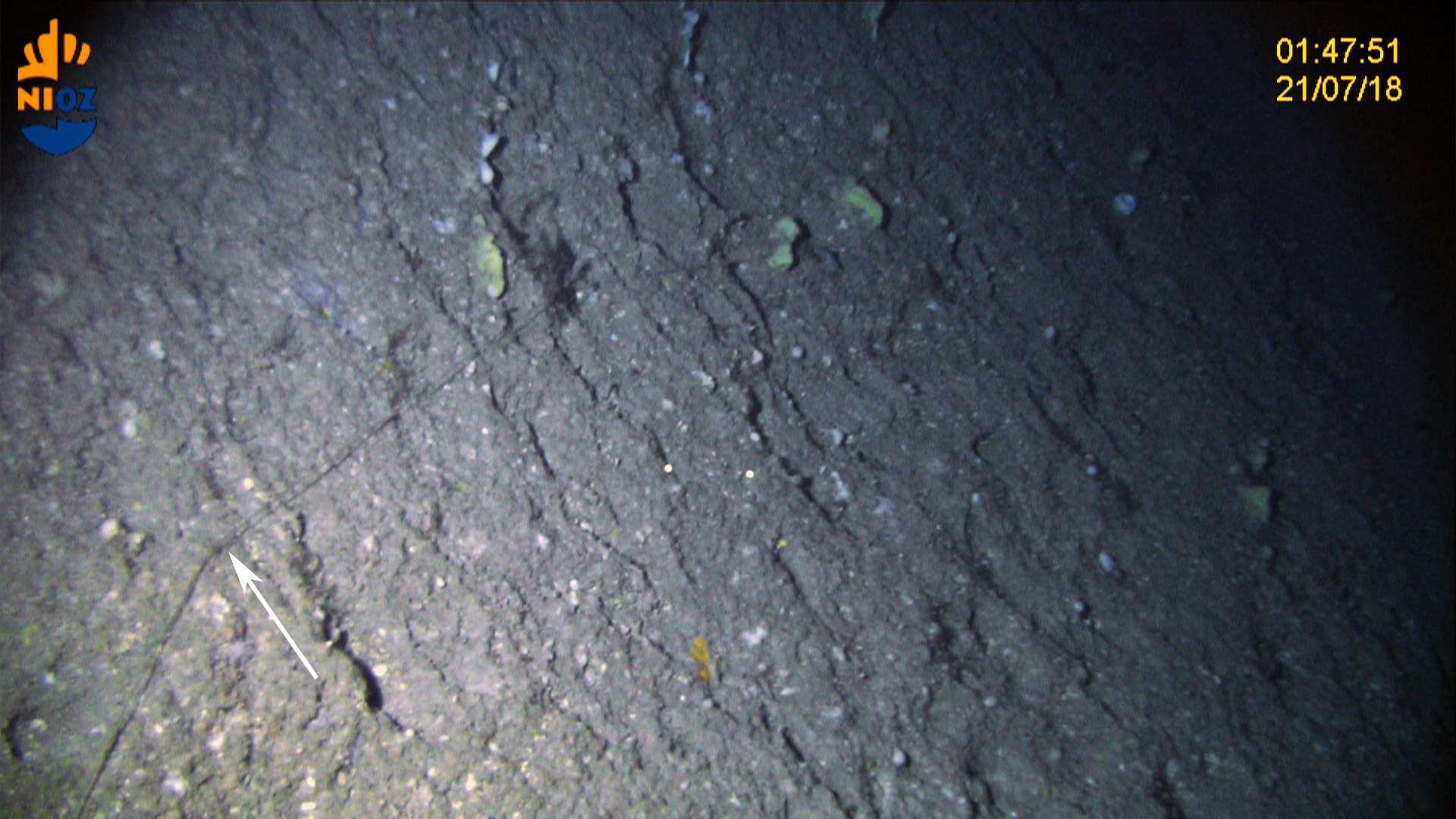
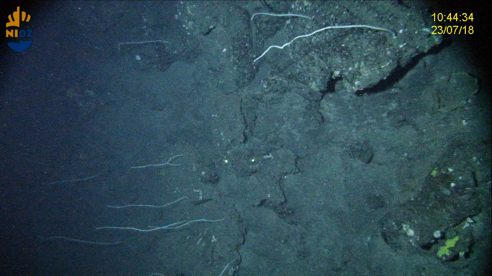
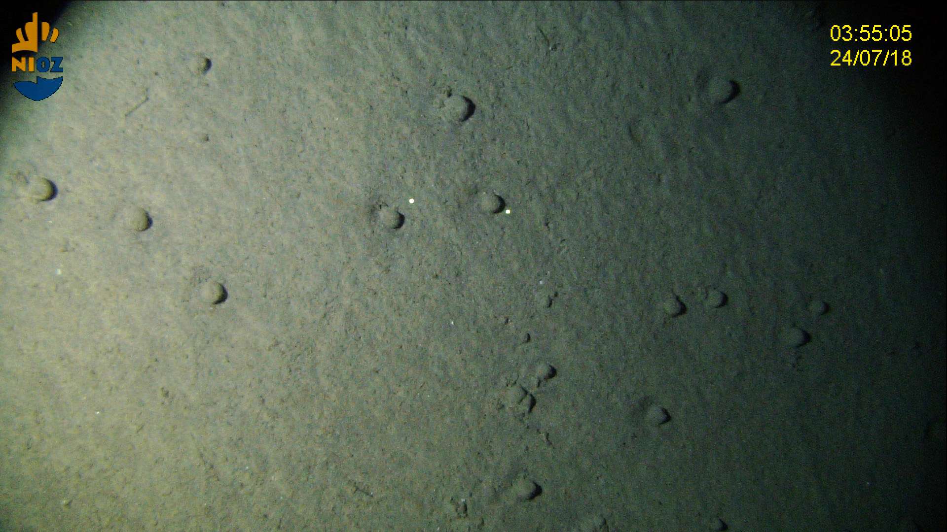
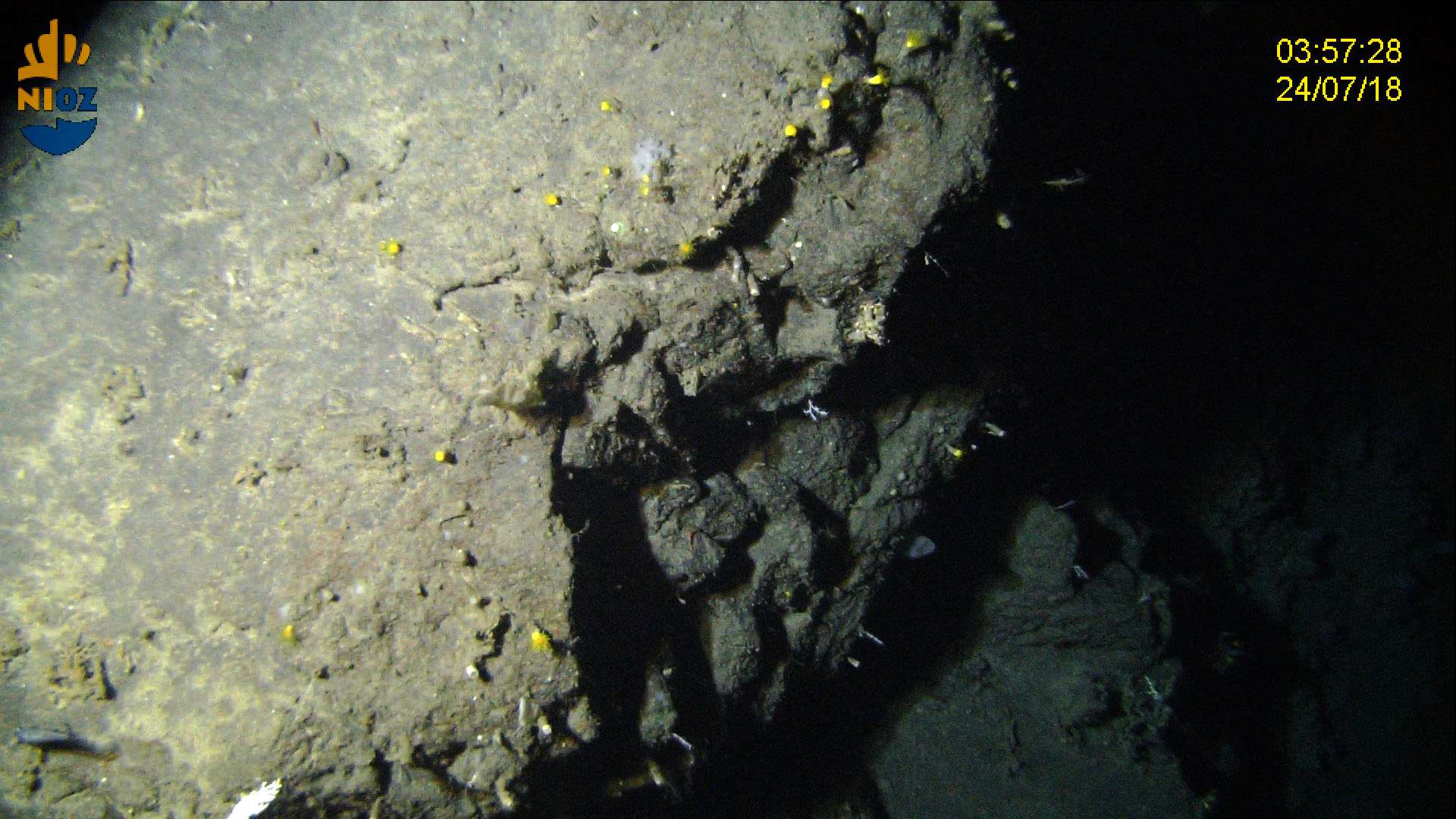
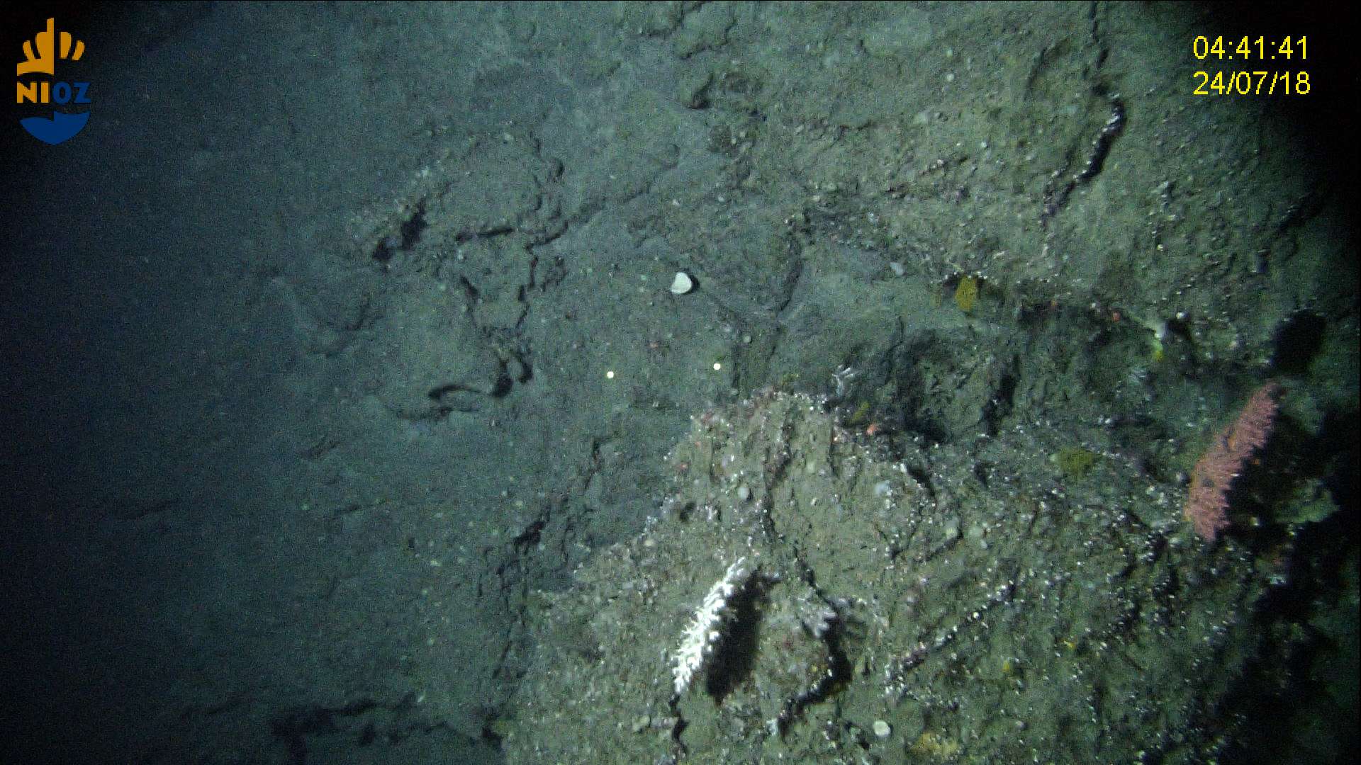
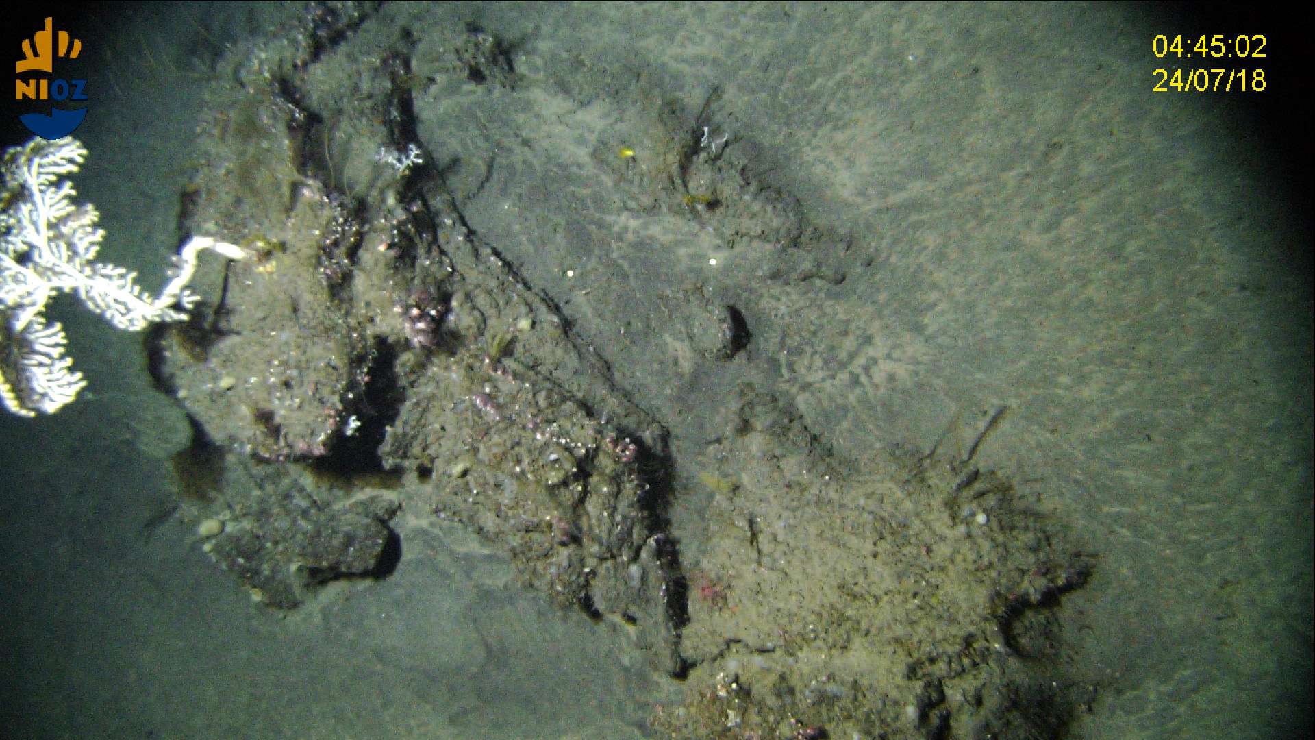
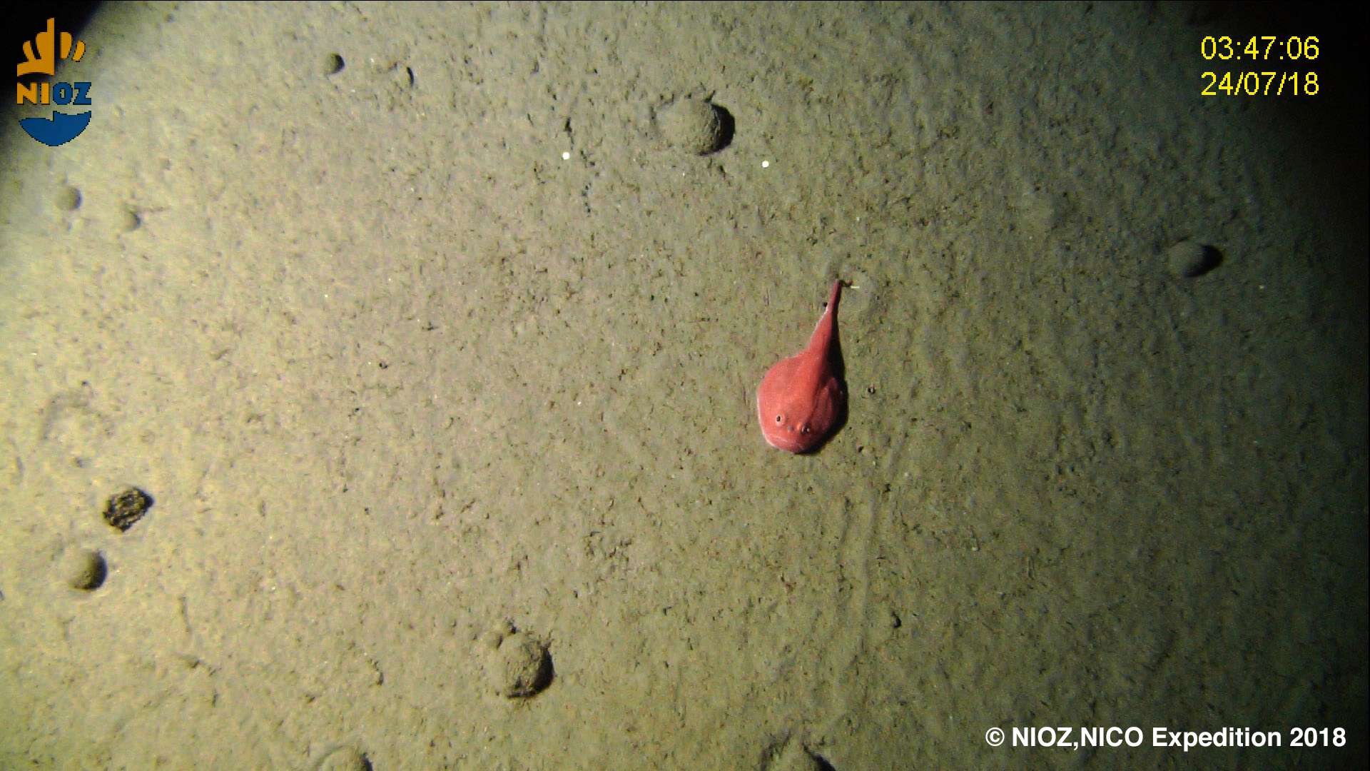
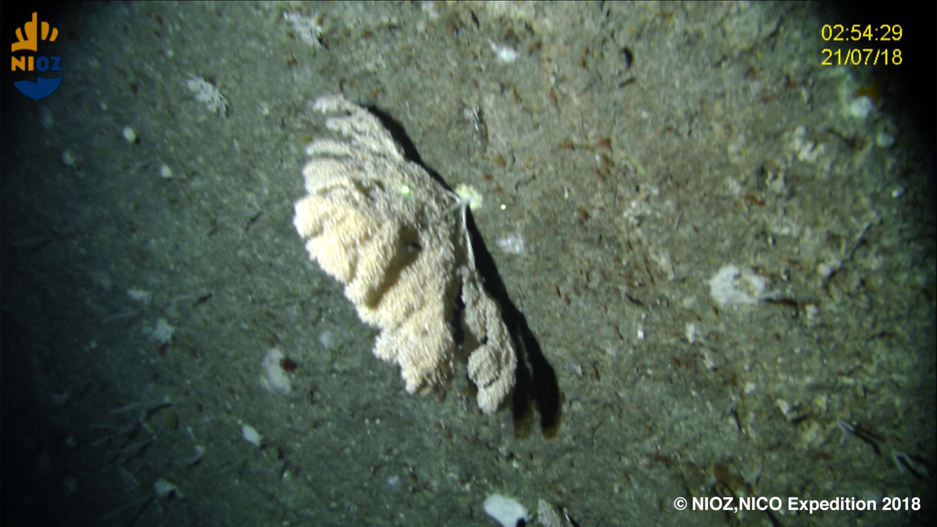
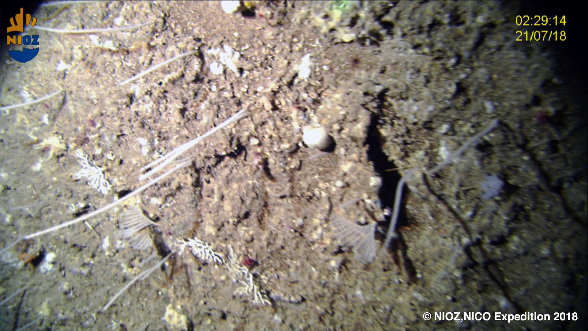
The Leg 12a of the Rainbow 2018 cruise on board RV Pelagia, allocated 1 day of work to explore Cavalo Seamount using the NIOZ Hopper tow-cam system, an HD video platform specially designed to be operated on board the RV Pelagia. During leg 12b three dives were performed in the southern part of Terceira island. Two of these dives were carried out on the slope, at depths between 800 and 500 m, at a small distance from the shoreline. The third dive was conducted further ashore, in the seamount named São Jorge de Fora, where a video transect was designed to cross from one side to the other of the seamount, exploring the changes in species composition from the deepest part of the mount all the way to the summit. The video transect on the Cavalo seamount covered a distance of almost 2 km along the seabed at depths between 595 and 630m, while the video transect on São Jorge de Fora seamount, covered a total distance of 5.7 km, between 560 and 1000m depth.
This cruise resulted from the first real mutual collaboration with scientists from the Royal Netherlands Institute for Sea Research (NIOZ), namely Sabine Gollner. Deep-sea scientists from IMAR Instituto do Mar and Okeanos University of the Azores joined the RV Pelagia cruise 64PE441 to collect new imagery data using the NIOZ towed system on unexplored areas of the Mid-Atlantic Ridge south of the Azores. The overall aim of these explorations was to improve our knowledge on the distribution and abundance of large Vulnerable Marine Ecosystem indicator species and deep-sea commercial fishes in the large Azores region. This was the first time we visited seamounts in the South portion of the MAR in the Azores region. The results of this cruise contributed to identify the environmental drivers that determine the spatial distribution of deep-sea benthic biodiversity in the Azores region. It also provided valuable information in the context of Good Environmental Status (GES), Marine Spatial Planning (MSP) and new insights on how to sustainably manage deep-sea ecosystems.
Statistics
Highlights


Location of operation
Southern Mid-Atlantic Ridge, Cavalo seamount, and Terceira island (Azores EEZ and extended continental shelf)
Stations
NICO Leg 12 2018
| Leg | Period | Days at sea | Vessel | Departure | Return |
|---|---|---|---|---|---|
| 1 | 16/07/2018 - 25/07/2018 | 10 | RV Pelagia | Horta | Horta |
A total of 10 days at sea
Activities
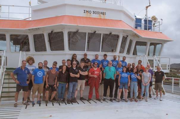
Cruise crew
Scientific crew
Collaborators
Images


Dives images


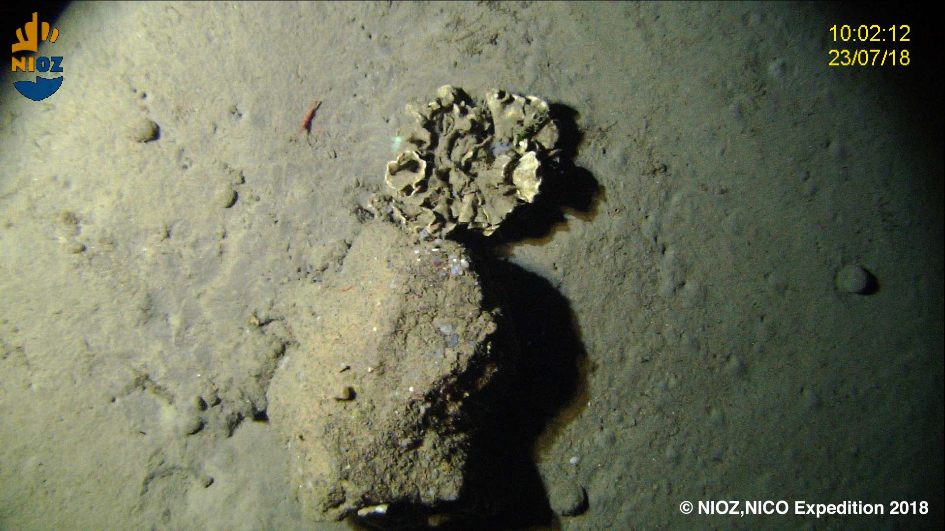


Location
Departamento de Oceanografia e Pescas — Universidade dos Açores
Rua Prof. Doutor Frederico Machado, No. 4
9901-862 Horta, Portugal
Contact
Email: azoresdeepsea@gmail.com
AZORES DEEP-SEA RESEARCH © 2020-2026 — RELEASE 2.1
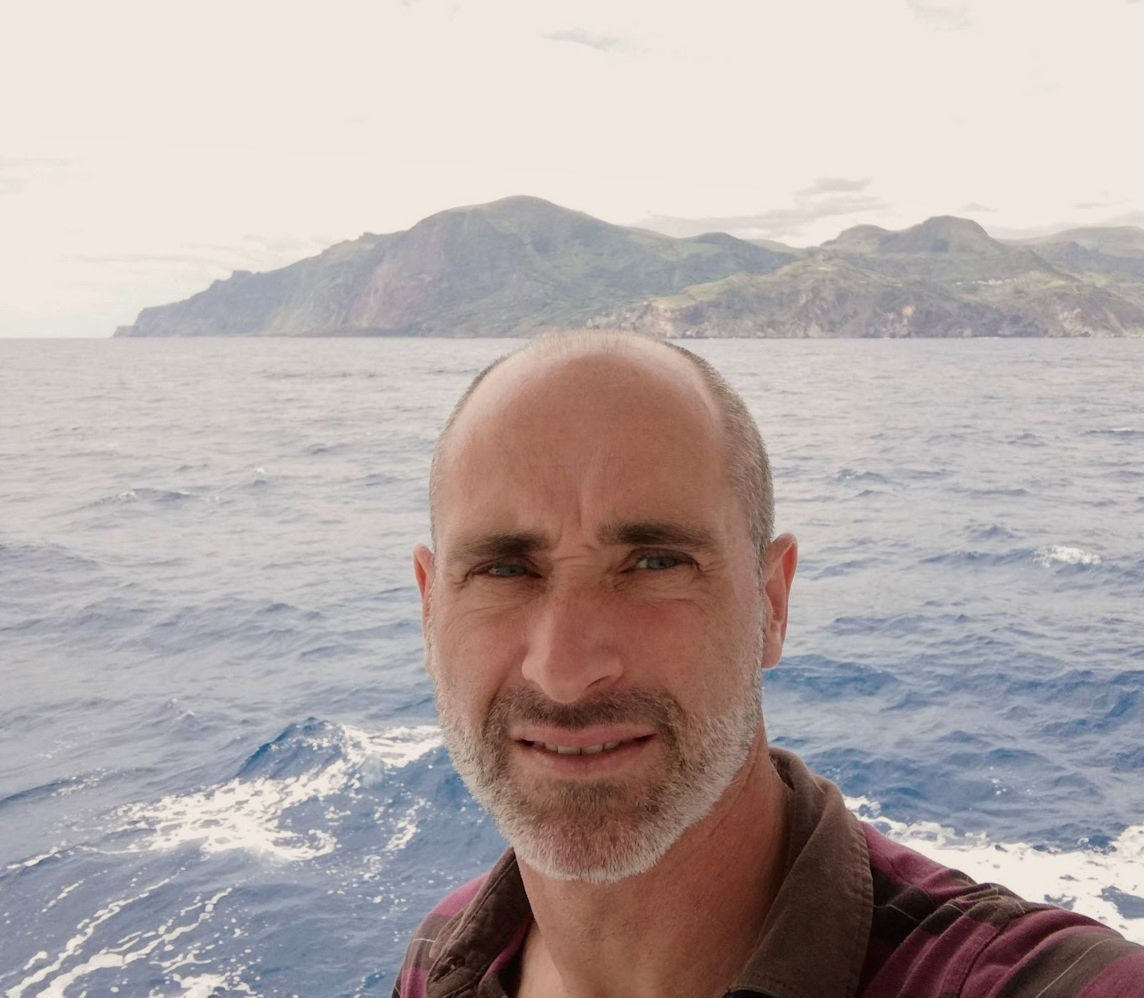
 VALTER MEDEIROS