AZORES
DEEP-SEA RESEARCH © CRUISES
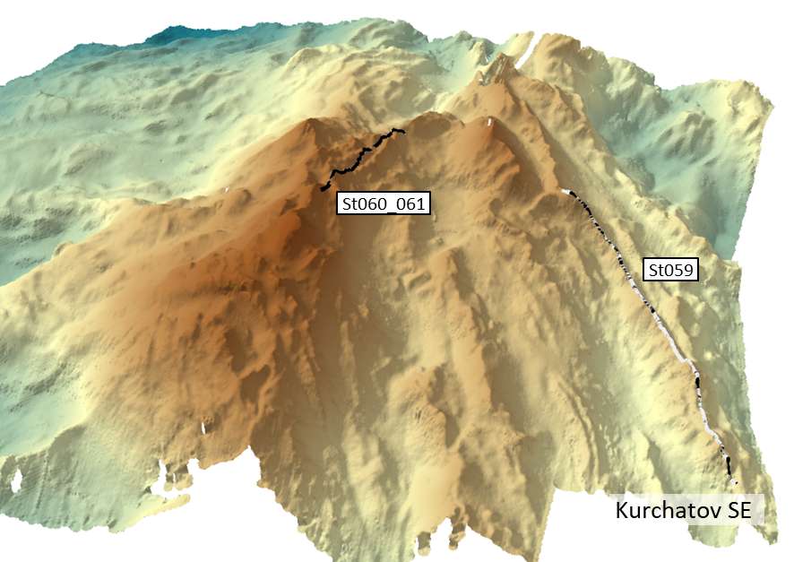
Stations
iMAR 2021
Loading…
iMAR 2021
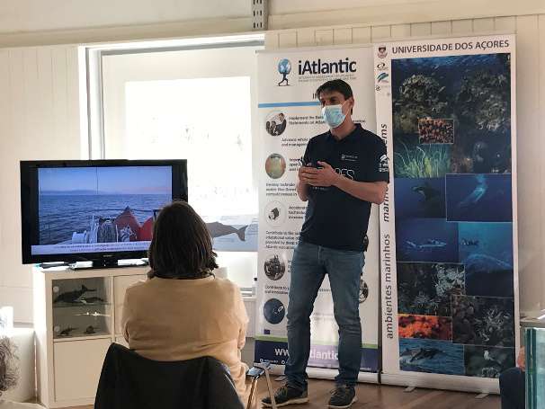
Integrated assessment of the distribution of Vulnerable Marine Ecosystem along the Mid-Atlantic Ridge in the Azores region
iMAR 2021
Loading cruise data…
Integrated assessment of the distribution of Vulnerable Marine Ecosystem along the Mid-Atlantic Ridge in the Azores region
Location: Northern Mid-Atlantic Ridge (Azores EEZ)
Year: 2021
83 stations
19 dives
2390 km transits
6 areas visited
Summary
Integrated assessment of the distribution of Vulnerable Marine Ecosystem along the Mid-Atlantic Ridge in the Azores region
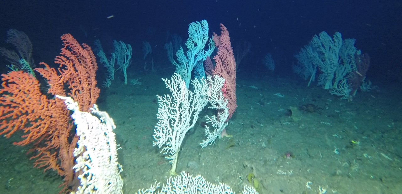
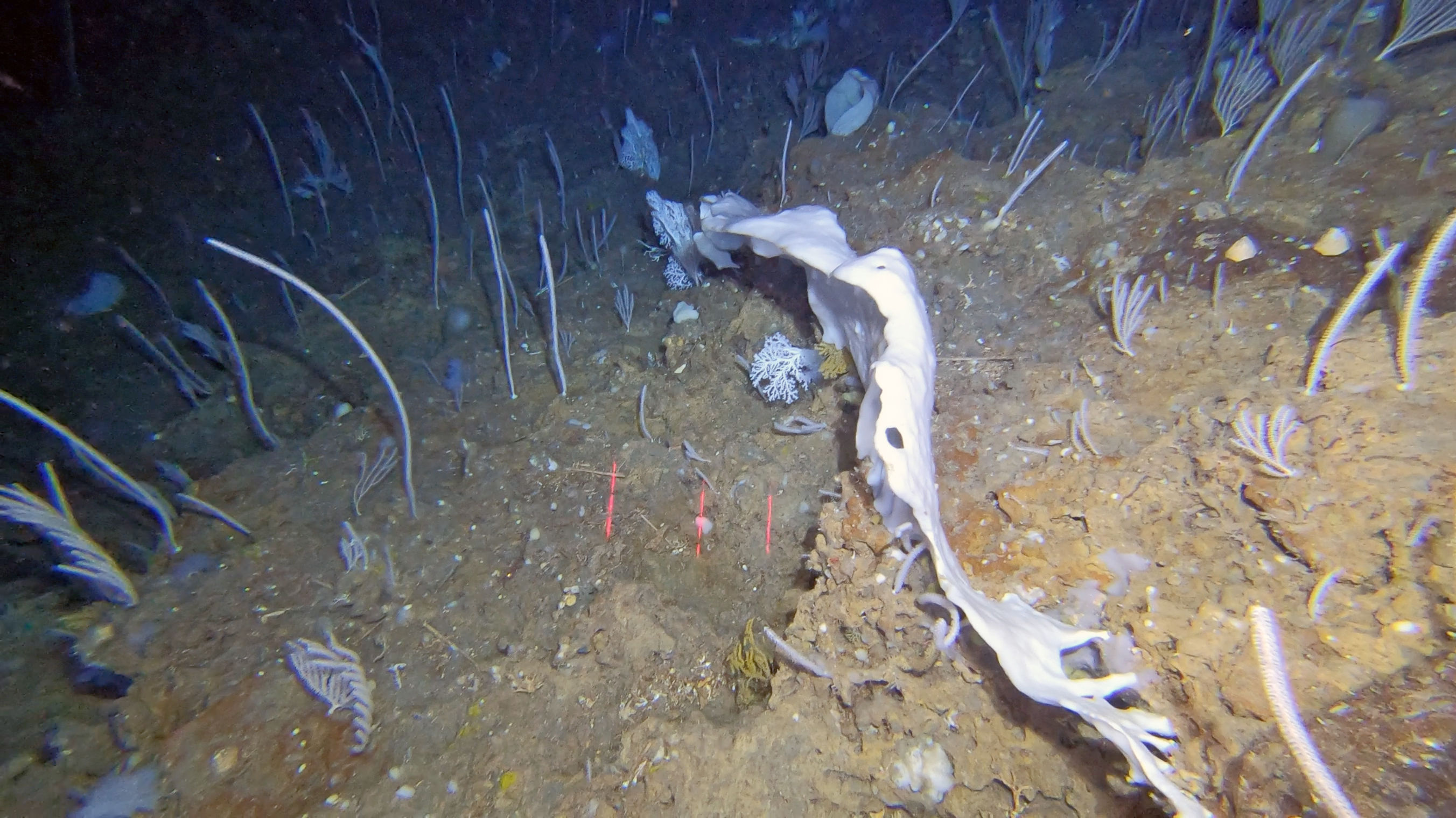
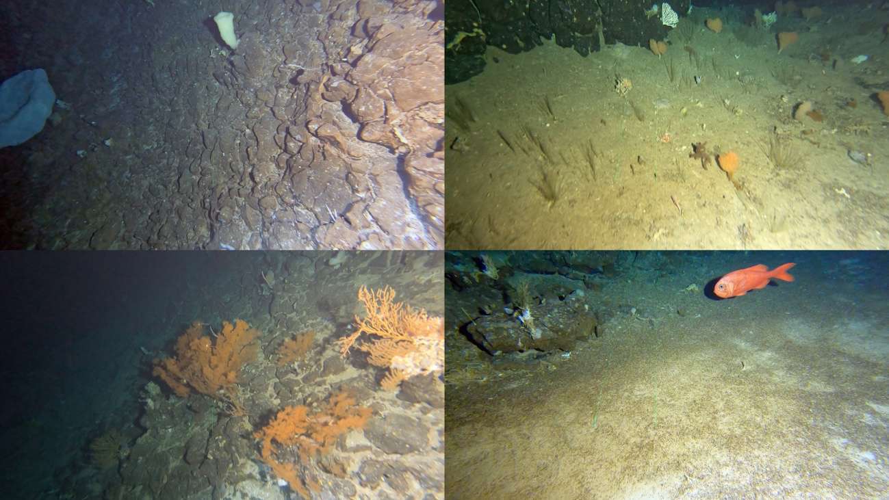
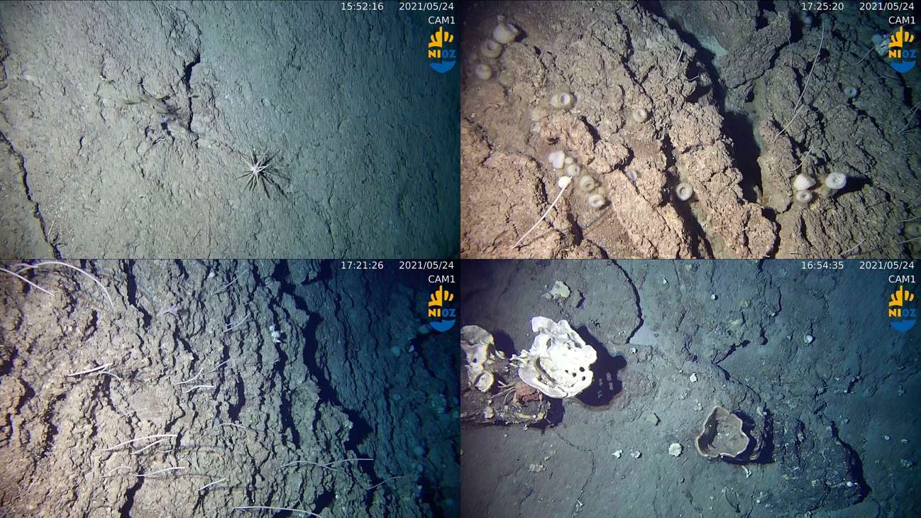
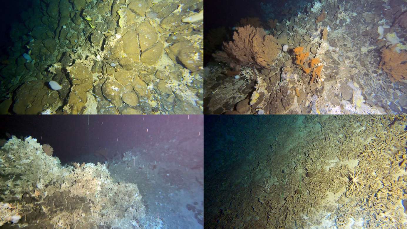
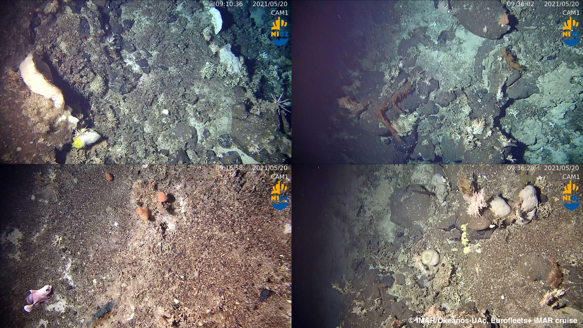
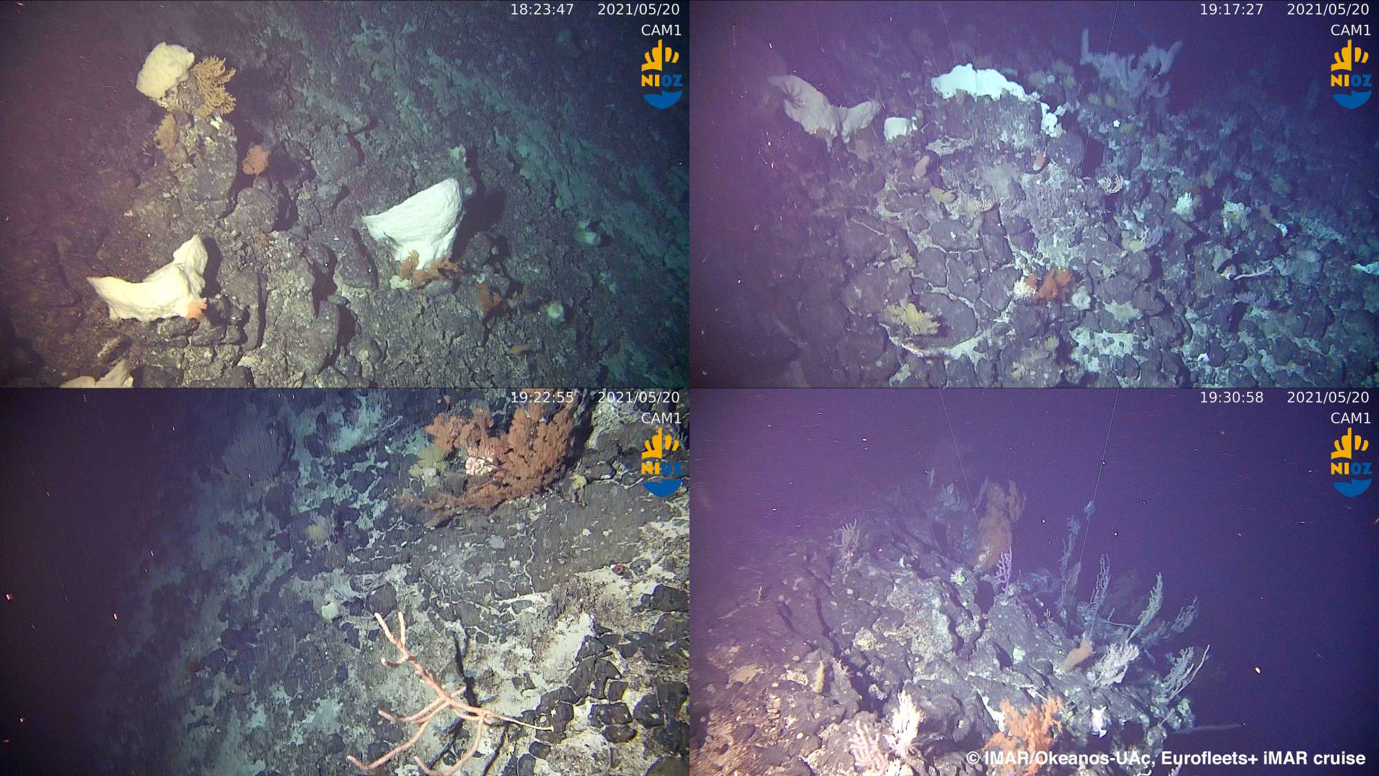
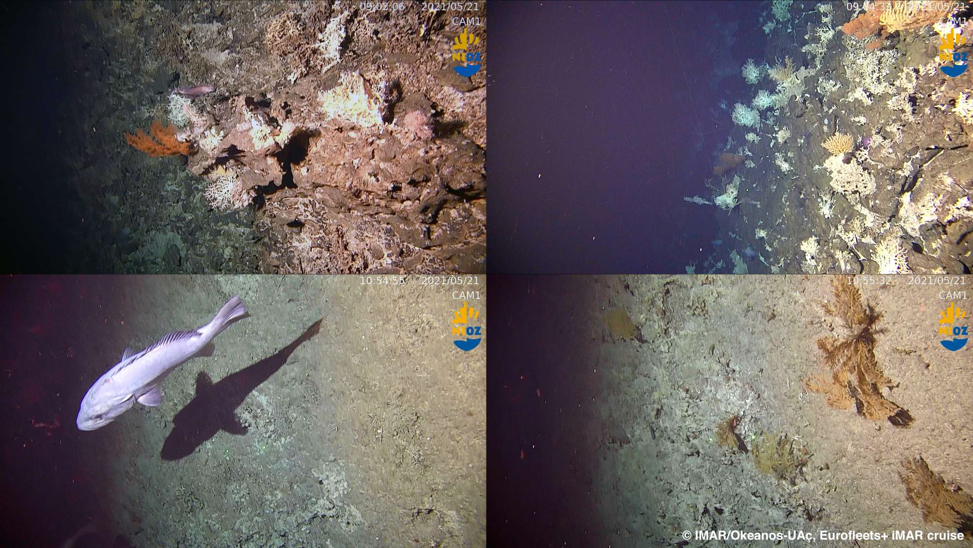
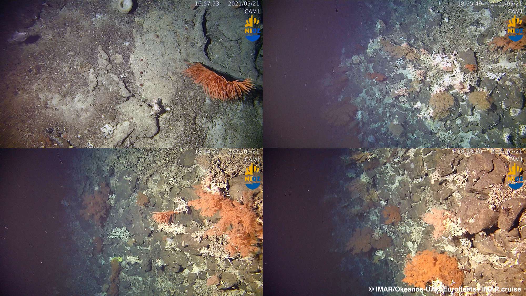
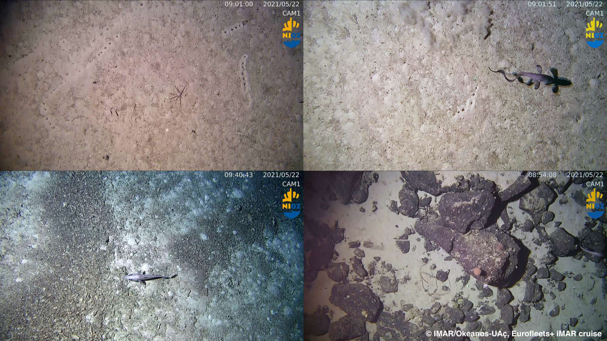
The MAR is the most prominent ocean seafloor feature in the Atlantic Ocean, dividing it into eastern and western deep basins. The unique setting of the Azores in close proximity to the ridge, offers an exceptional opportunity to survey the role of the MAR in shaping the distribution of deep-sea megabenthic communities, mostly those considered Vulnerable Marine Ecosystem (VME). The diverse geomorphology and complex oceanography patterns surrounding the Azores has generated an extraordinary diversity of benthic organisms, making this area a hotspot for cold-water corals in the North Atlantic. Latitudinal gradients and dissimilarities between the deep-water coral fauna on both sides of the MAR were noted at local and wider scale studies, raising the question on whether the MAR can represent a boundary for the biological dispersion between the East and West Atlantic. However, there has been considerably few explorations on seamounts, ridges and other topographic features along the MAR.
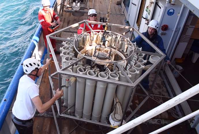
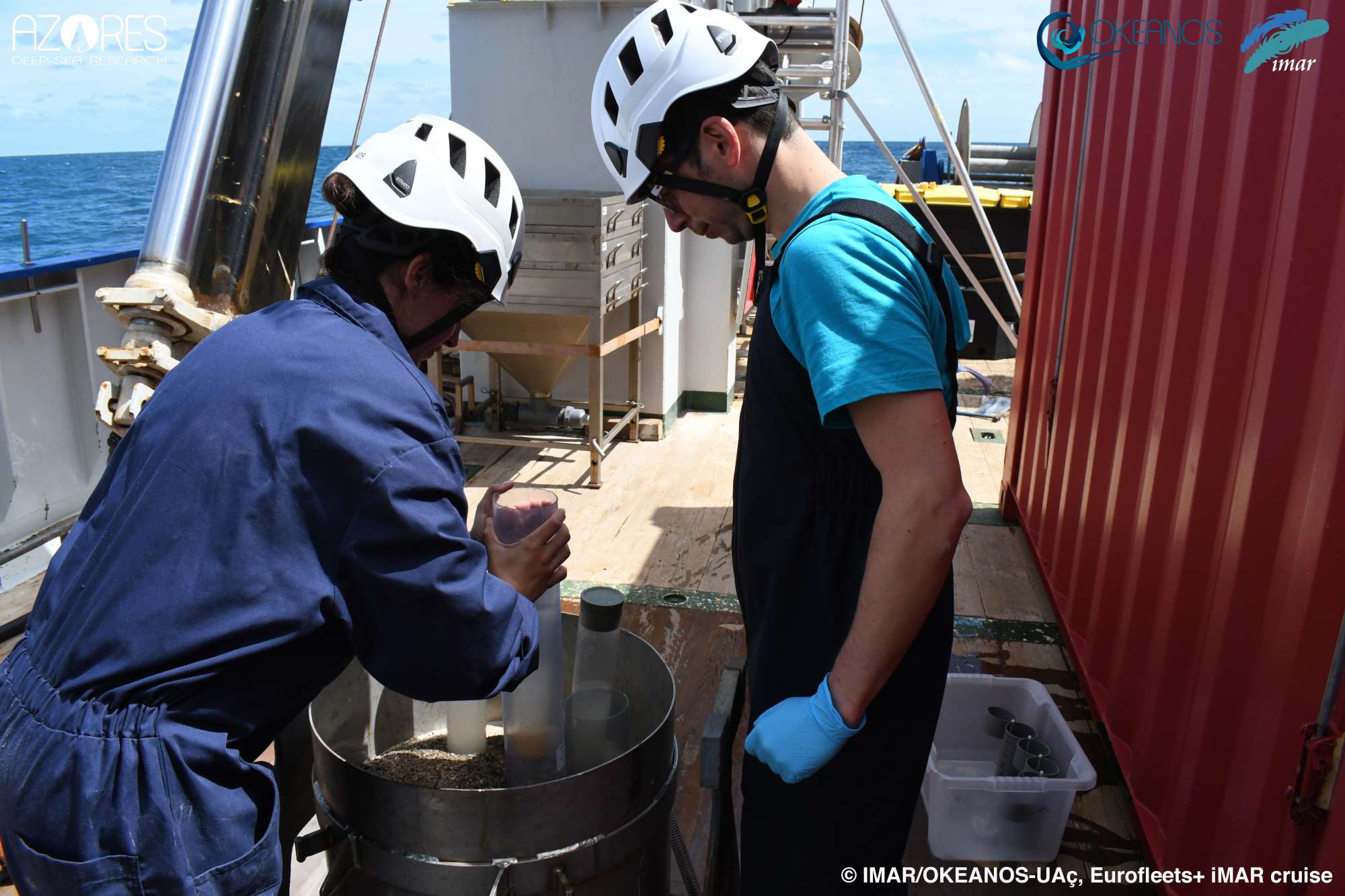
The RV Pelagia Cruise No. 64PE487 / Eurofleets+ iMAR aimed to evaluate the role of the Mid-Atlantic Ridge (MAR) in shaping the latitudinal and trans-Atlantic patterns in deep-sea biogeography, connectivity and spatial distribution patterns of deep-sea megafauna. Additionally, the cruise aimed to (i) map and characterize deep-sea coral and sponge communities inhabiting unexplored seamounts and ridges in the MAR around the Azores; (ii) identify new areas that fit the FAO’s Vulnerable Marine Ecosystem definition; (iii) add to the existing knowledge on the environmental drivers that determine the spatial distribution of deep-sea benthic biodiversity in the MAR; and finally (iv) determine the condition of benthic communities by looking at evidence of fishing damage to fauna, presence of lost fishing gear and marine litter.
Statistics
Highlights
Although the data has yet to be analyzed in detail, this expedition revealed some surprising discoveries.

Location of operation
Northern Mid-Atlantic Ridge (Azores EEZ)
Stations
iMAR 2021
| Leg | Period | Days at sea | Vessel | Departure | Return |
|---|---|---|---|---|---|
| 1 | 18/05/2021 - 02/06/2021 | 16 | RV Pelagia | Horta | Horta |
A total of 16 days at sea
Activities
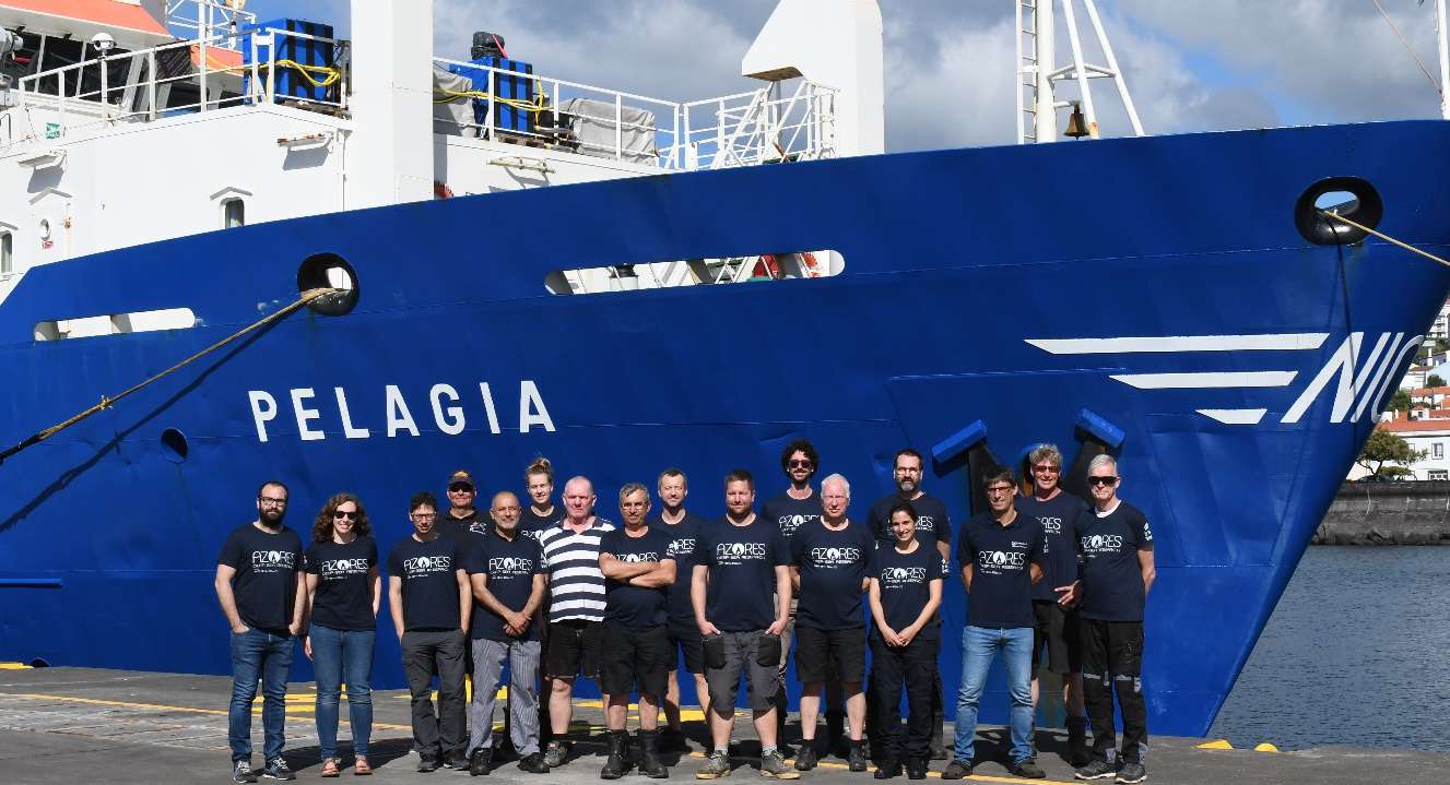
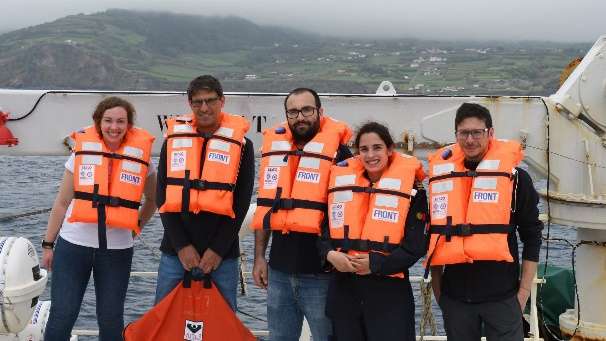
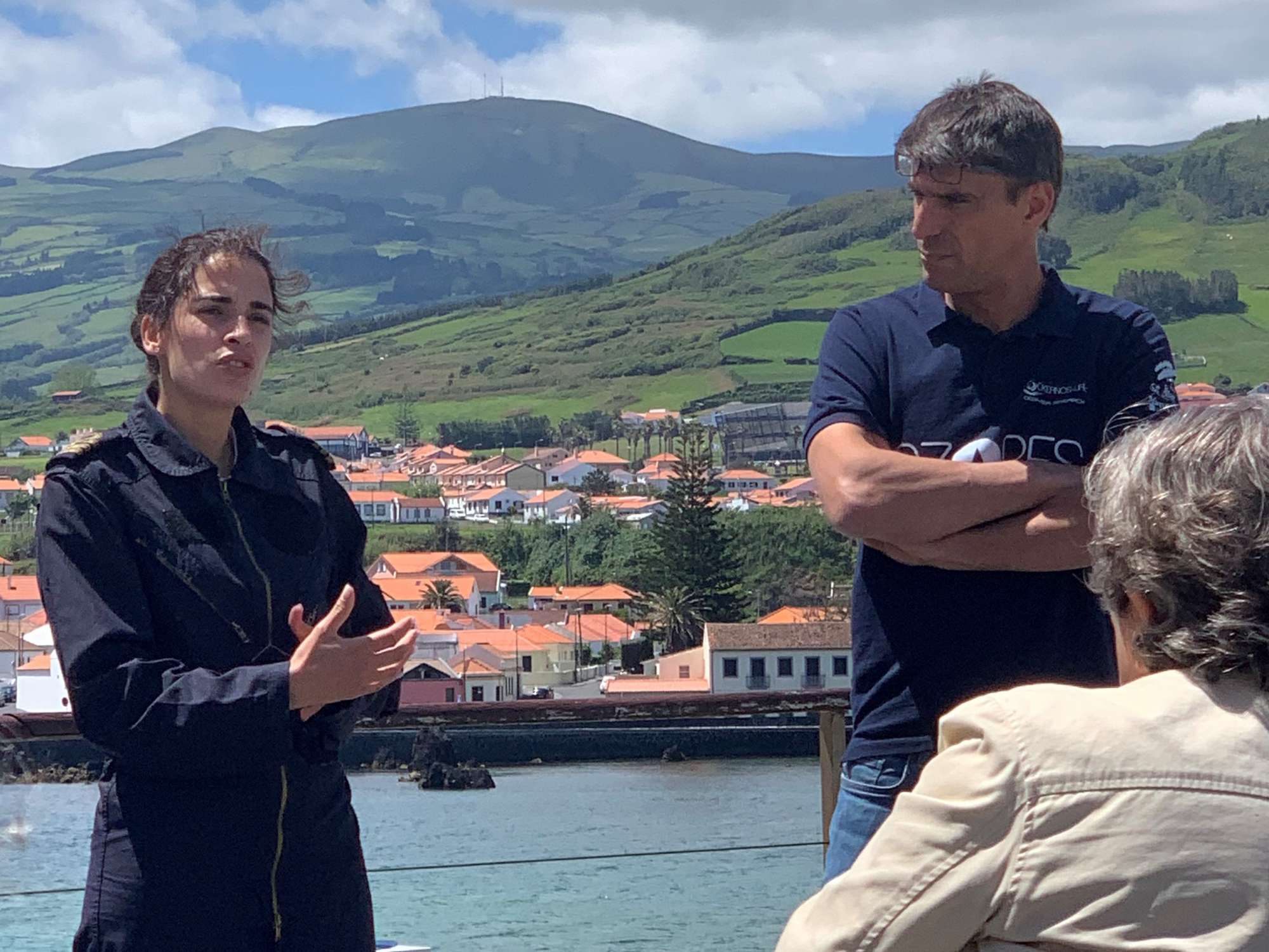
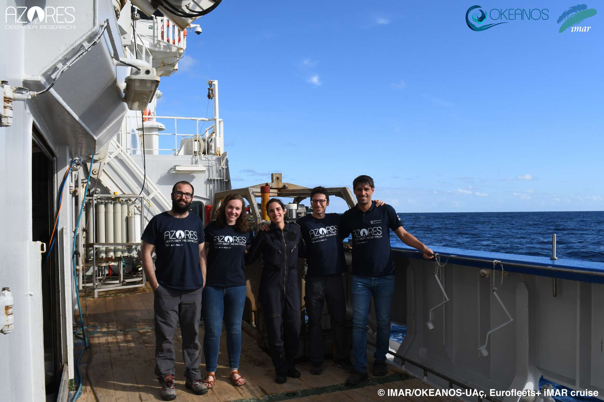
Cruise crew
Chief scientist
Scientific crew
Collaborators


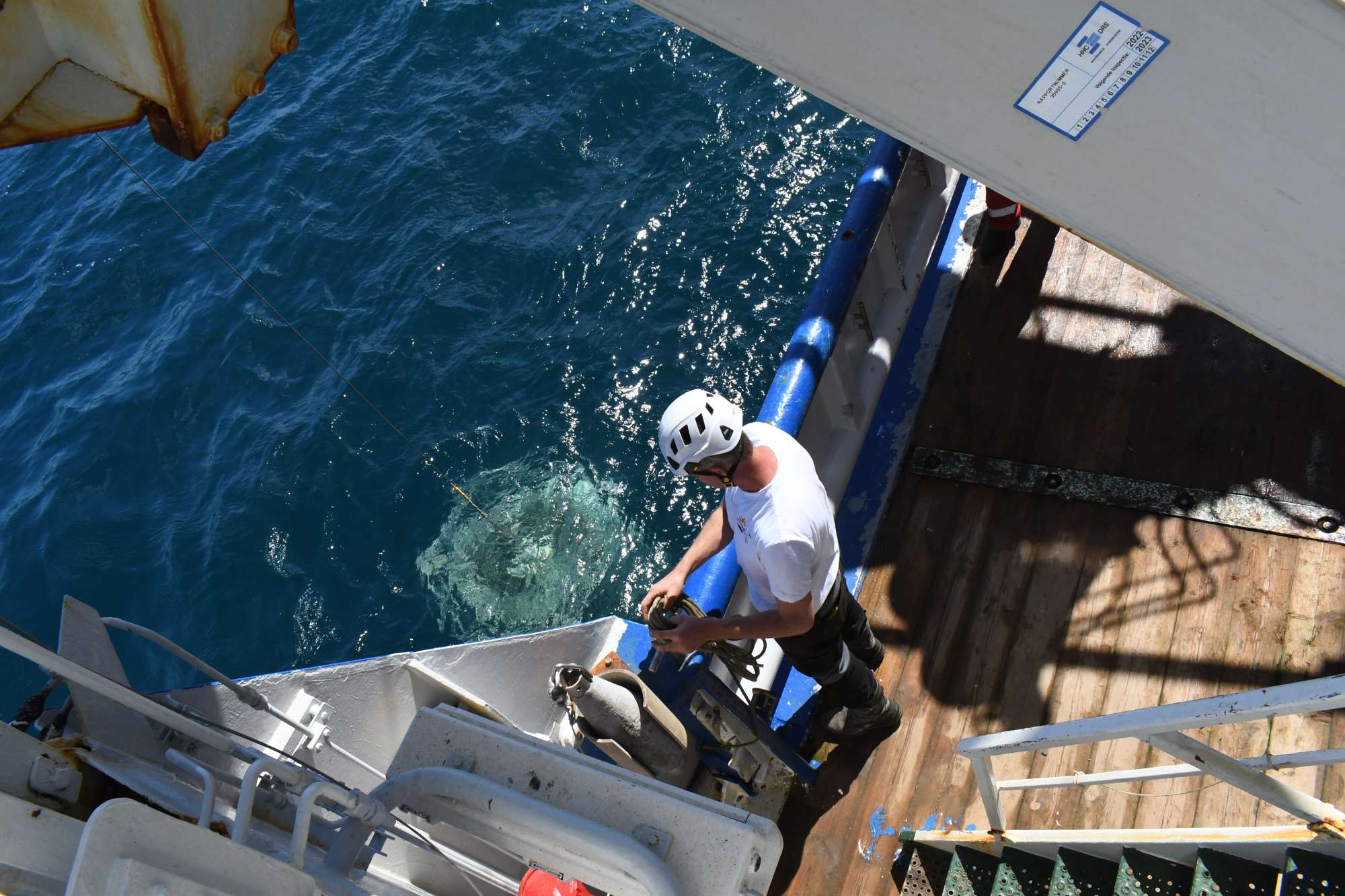
Images


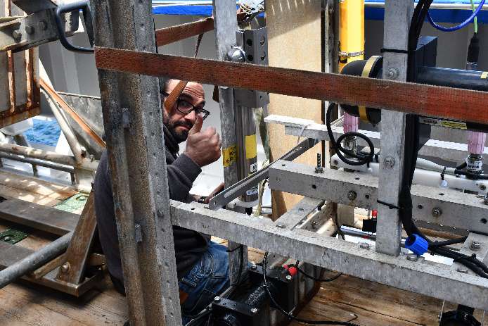


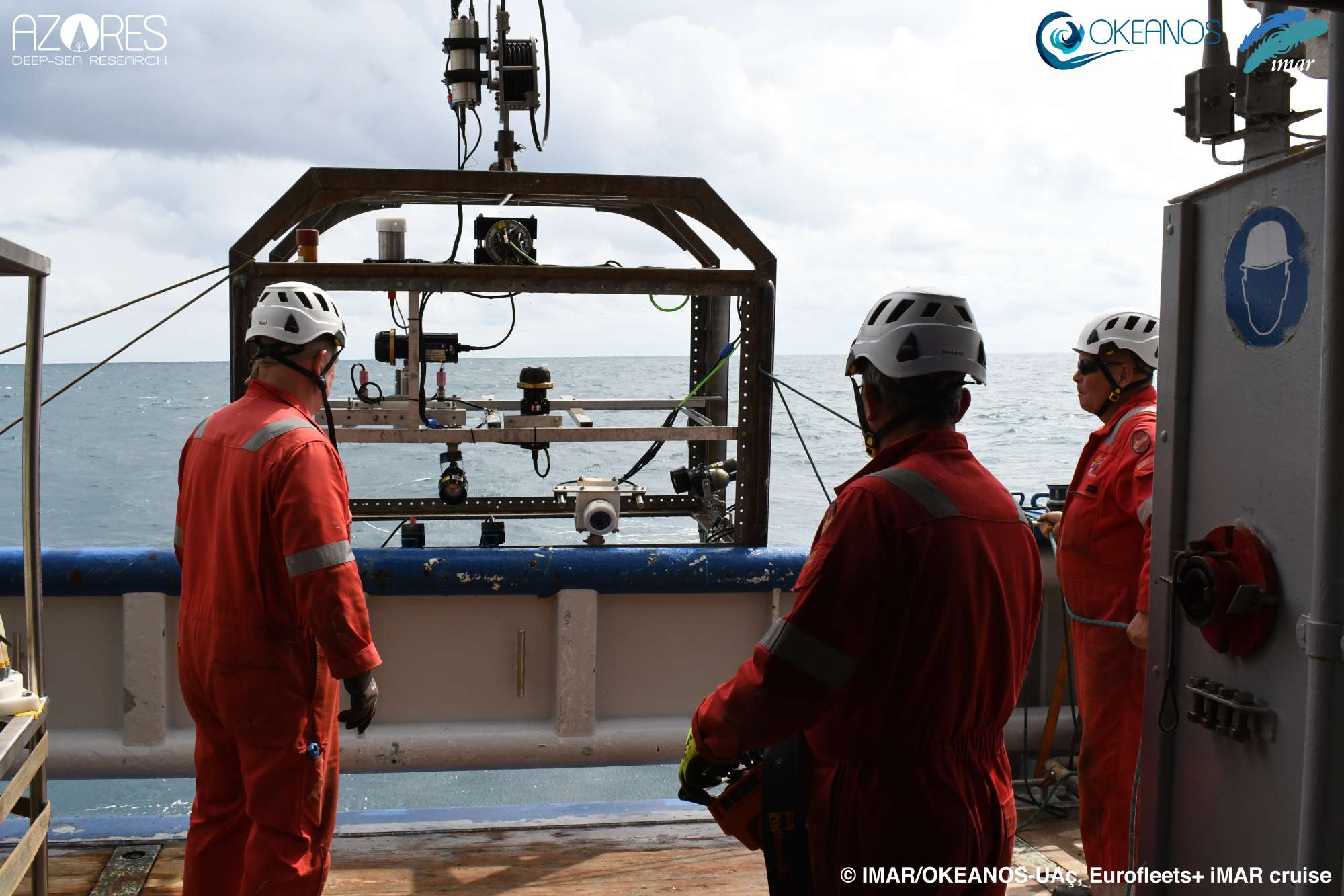
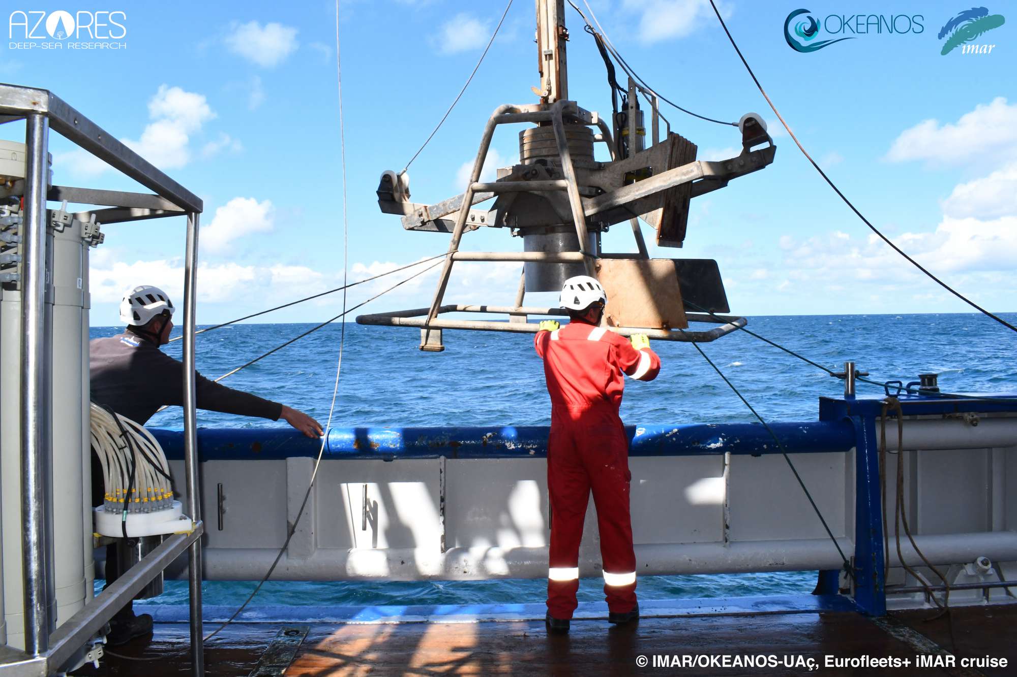


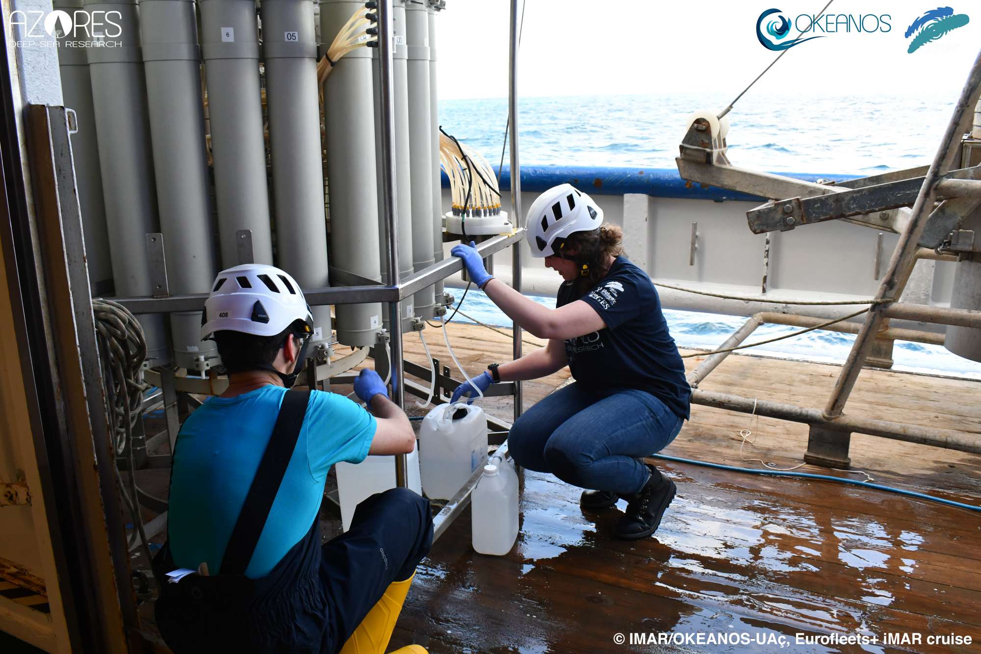
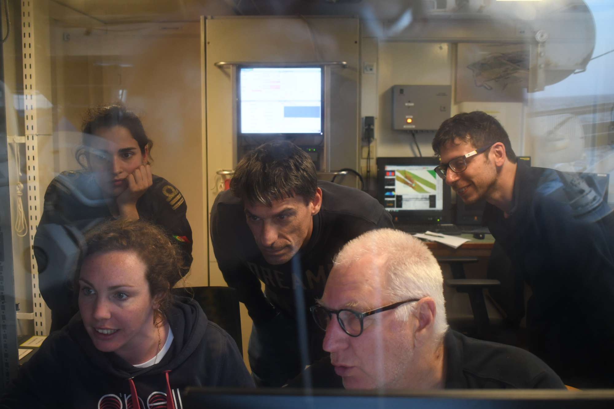
Dives images


Videos


Location
Departamento de Oceanografia e Pescas — Universidade dos Açores
Rua Prof. Doutor Frederico Machado, No. 4
9901-862 Horta, Portugal
Contact
Email: azoresdeepsea@gmail.com
AZORES DEEP-SEA RESEARCH © 2020-2026 — RELEASE 2.1
 VALTER MEDEIROS