Loading…
Loading…
DEEP
DEEP: Deep-sea Ecosystem Evaluation for Policy solutions
DEEP
Loading project…
DEEP: Deep-sea Ecosystem Evaluation for Policy solutions
Period: 02 Mar 2026 to 01 Mar 2029
Funding: 1 source(s)
Fundação para a Ciência e Tecnologia, I.P.
Budget: 249,930.00 €
Summary
DEEP: Deep-sea Ecosystem Evaluation for Policy solutions
Using one of the world’s largest deep-sea video datasets (100,000+ species records over 630 km of seafloor) collected in previous projects, complemented with high-resolution bathymetry, and 3D hydrodynamic models (MOHID), DEEP will (1) quantify species distributions and Essential Biodiversity Variables (EBVs) across geomorphological units using AI-assisted image annotation and community-level multivariate statistical analyses; (2) model substrate and habitat suitability with Bayesian Neural Networks explicitly accounting for prediction uncertainties; and (3) assess biodiversity distribution patterns at regional and local scales using different types of predictive modelling approaches. Innovatively, DEEP bridges science and policy by (1) developing regionally relevant Vulnerable Marine Ecosystem (VME) indicators compliant with Food and Agriculture Organization of the United Nations (FAO) criteria to support International Council for the Exploration of the Sea (ICES) fisheries advisory processes; (2) operationalizing seabed integrity metrics for the EU Marine Strategy Framework Directive (Descriptor 6) tailored to deep-sea environments; (3) updating and proposing conservation prioritization schemes for the expanded Azores Marine Park using systematic spatial planning tools (e.g., prioritizer or Marxan). The project incorporates a strong capacity-building component to address global inequalities in deep-sea research, reinforcing the Azores position at the forefront of equitable global deep-sea exploration. This includes hands-on training programs on biodiversity monitoring specifically targeting scientists from low- and middle-income countries (LMICs); open-access data protocols for an integrated and interoperable approach to observing the deep sea; co-developed plans with LMIC partners to scale up deep-sea exploration using low-cost tools. Anticipated outputs include a comprehensive ecological Atlas of the Azores deep-sea ecosystems, standardized protocols for Essential Biodiversity Variable calculation in data-limited environments, and evidence-based guidelines for climate-resilient marine protected area design. By integrating cost-effective marine science with transparent tools for policy development and equitable knowledge transfer, DEEP provides a globally replicable model for evidence-based stewardship of deep-sea environments facing increasing anthropogenic pressures. The project's interdisciplinary framework contributes significantly to international conservation targets under the UN Ocean Decade (Challenges 2, 5 and 9) and EU Biodiversity Strategy 2030 while establishing methodologies applicable to other data-poor deep-sea regions worldwide.
Deep-sea ecosystems face increasing threats from climate change and human activities, yet critical knowledge gaps persist in biodiversity patterns and ecosystem functions, particularly in data-poor regions where exploration costs limit comprehensive assessments. The DEEP project (Deep-sea Ecosystem Evaluation for Policy solutions) addresses these challenges through an interdisciplinary framework combining standardized regional-scale seafloor observations, predictive modeling, and policy-driven analyses in the Azores Exclusive Economic Zone - a globally recognized hotspot of mid-Atlantic deep-sea biodiversity.
Our Team's role
PI of the project and lead of all tasks
Marina Carreiro-Silva
Research Assistant
Telmo Morato
Research Assistant
Carlos Dominguez-Carrió
Research Assistant
Filipe M. Porteiro
Research Assistant
Luís Rodrigues
Research Assistant
Teresa Cerqueira
Research Assistant
Marisa Gomes
Research Assistant

Gabriela Cardoso
Research Assistant

Inês Correia Bruno
Research Assistant
João Balsa
Research Assistant
João Pontes
Research Assistant
Marc Pladevall
Research Assistant

Valter Medeiros
Research Assistant

Guilherme Gonçalves
Research Assistant
Manuela Ramos
Research Assistant
João Vasconcelos
Research Assistant
Collaborators
Main results
Project in progess
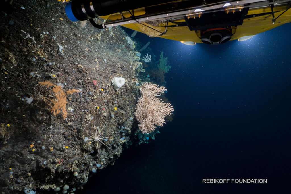
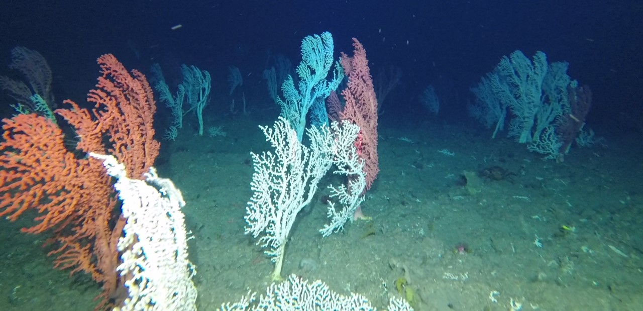
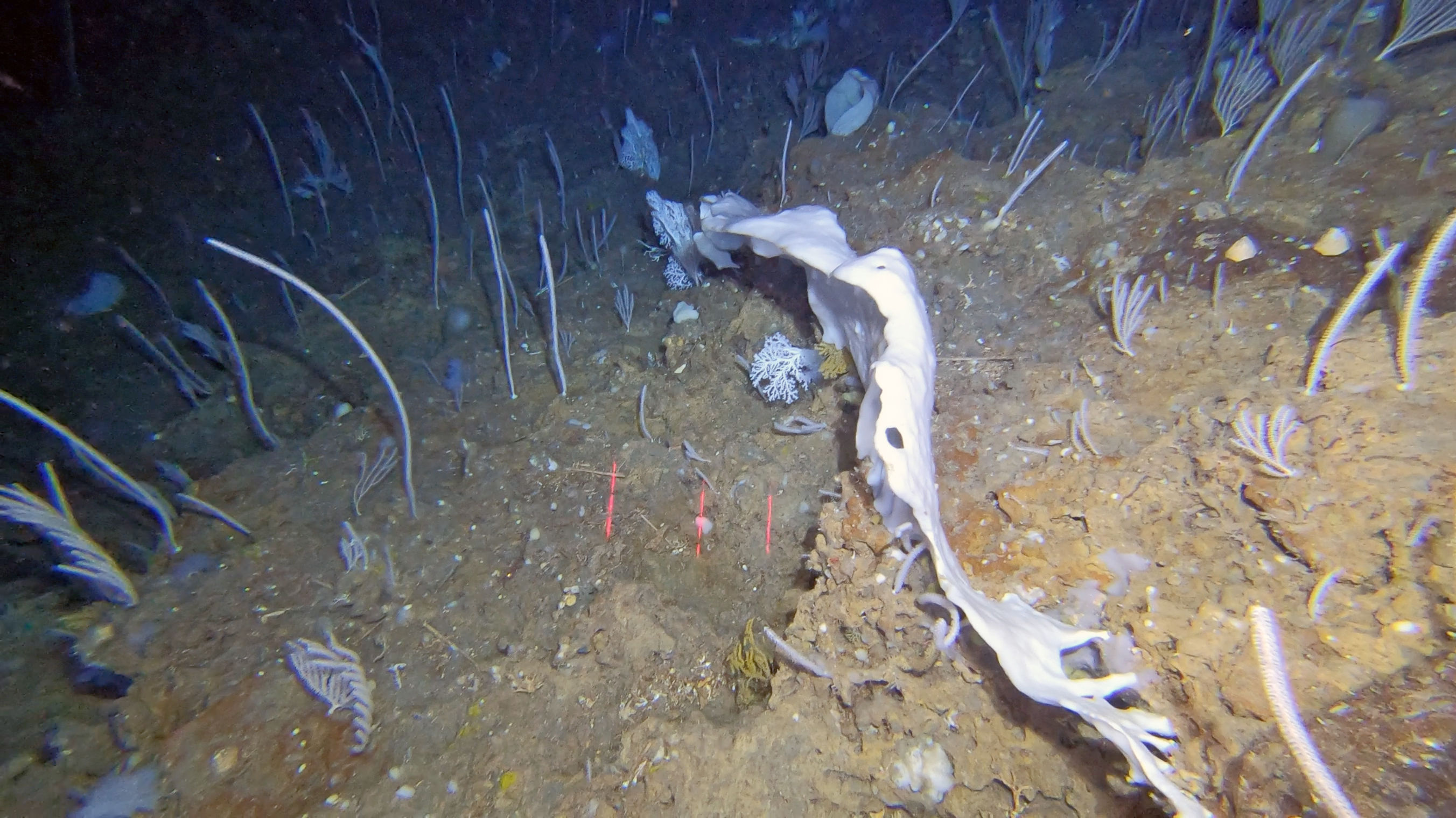
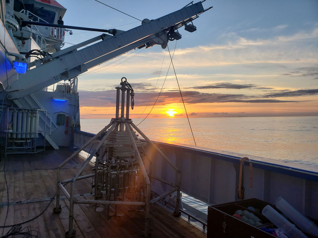
DEEP Gallery


Location
Departamento de Oceanografia e Pescas — Universidade dos Açores
Rua Prof. Doutor Frederico Machado, No. 4
9901-862 Horta, Portugal
Contact
Email: azoresdeepsea@gmail.com
AZORES DEEP-SEA RESEARCH © 2020-2026 — RELEASE 2.1
 VALTER MEDEIROS