AZORES
DEEP-SEA RESEARCH © CRUISES
Stations
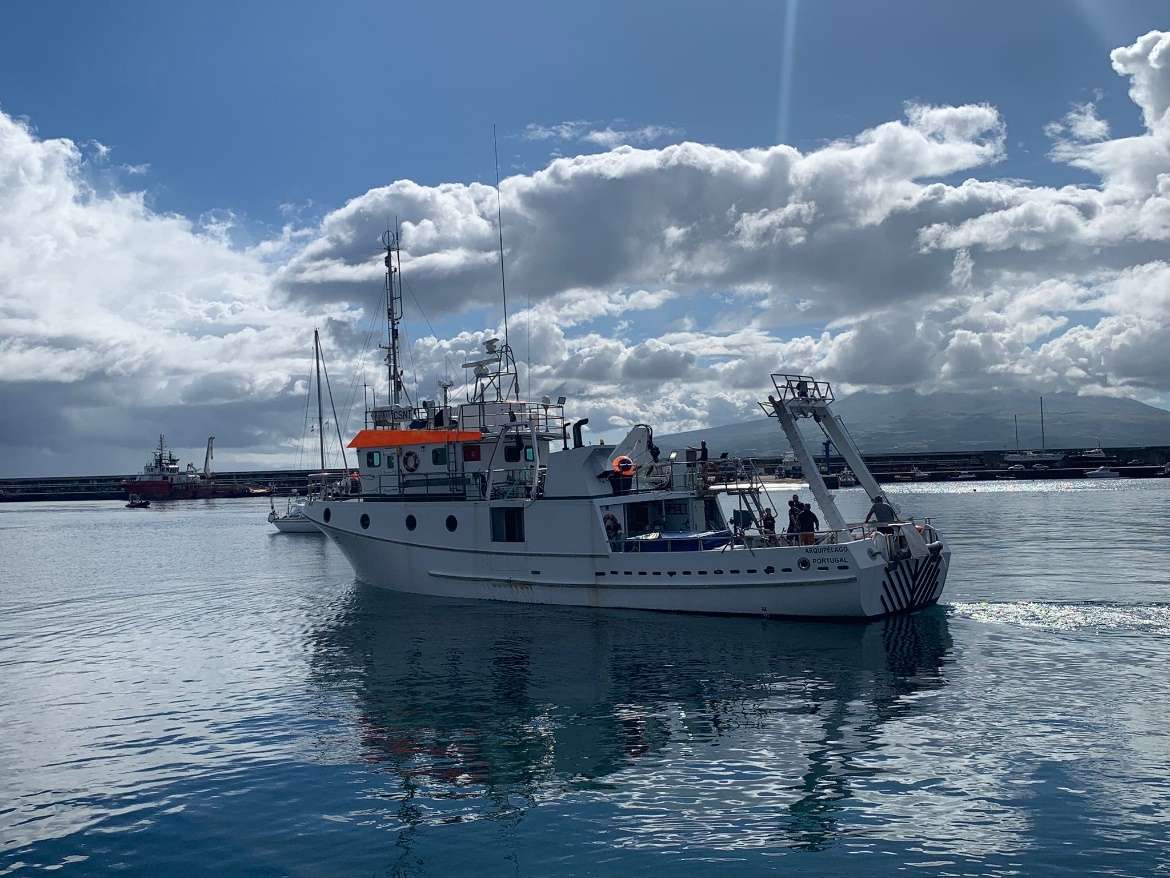
MapGES 2023 RV Arquipélago
Loading…
MapGES 2023 RV Arquipélago
Mapping deep-sea biodiversity and “Good Environmental Status” in the Azores
MapGES 2023 RV Arquipélago
Loading cruise data…
Mapping deep-sea biodiversity and “Good Environmental Status” in the Azores
Location: Princesa Alice/Açor bank, seamounts north of Graciosa - Sedlo (Central Azores)
Year: 2023
151 stations
145 dives
2838 km transits
28 areas visited
Summary
Mapping deep-sea biodiversity and “Good Environmental Status” in the Azores
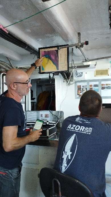
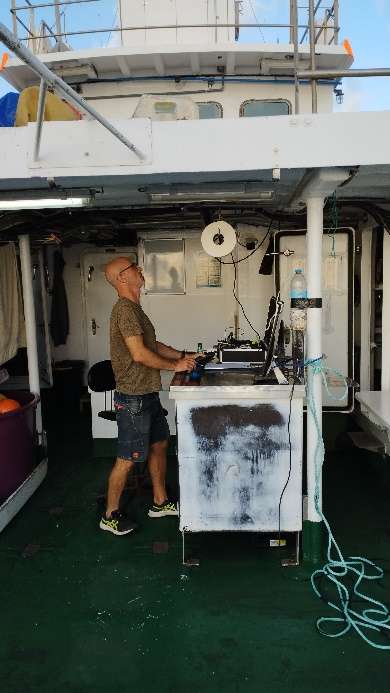
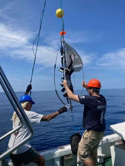
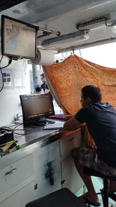
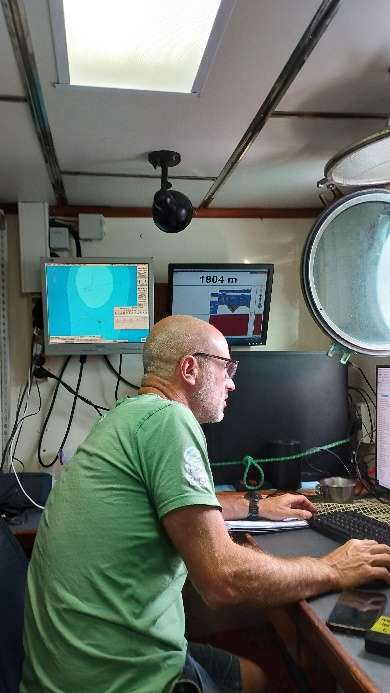
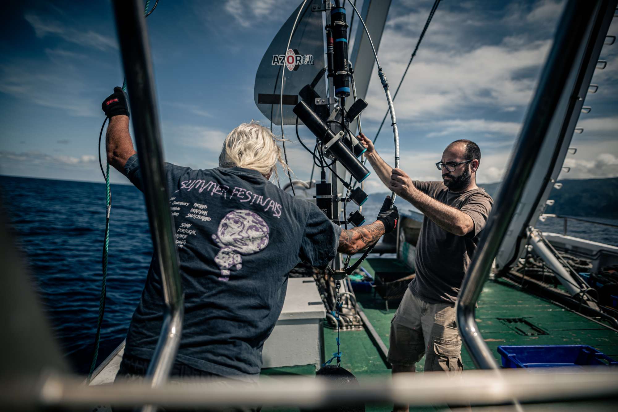
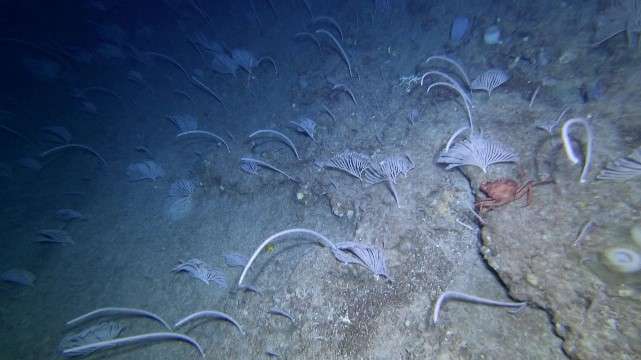
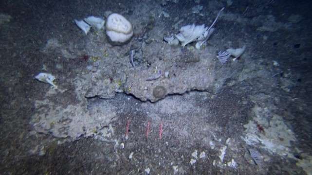
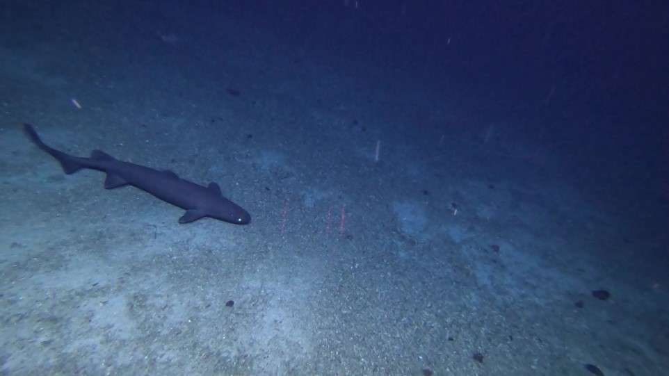
The first part of the MapGES 2023 survey on board the RV Arquipélago was composed of one Leg divided into two parts, which were planned to visit some unexplored areas around the Princesa Alice bank and the seamounts north of Graciosa (Sedlo, Borda, João Leonardes, and Gaillard) (central Azores). Overall, 64 dives out of 68 stations were accomplished in 13 sampling areas, which include 11 seamount areas and 2 slope areas around São Jorge Island. During Leg 1a, from 8th to 11th July 2023, we performed 23 successful dives with the Azor drift-cam. This part of Leg 1 surveyed the deep-sea benthic communities dwelling on the slopes of the geomorphological structures south of Princesa Alice bank on board the research vessel Arquipélago. During Leg 1b, from 14th to 21st July 2023, we performed 41 successful dives with the Azor drift-cam. Leg 1b of the MapGES 2023 cruise explored for the first time some long-waited areas such as the famous Sedlo seamount, for which data on the benthic communities was still lacking to complement other datasets that supported the designation of this area as a Marine Protected Area. Leg 1b surveyed the slopes of the seamounts north of Graciosa, namely Sedlo, Borda, João Leonardes, and Gaillard and the northern slopes of São Jorge Island. The second part of MapGES 2023 survey on board the RV Arquiipélago was composed of 1 Leg, divided in three parts depending on the areas explored or the team involved, which planned to visit Hard Rock Café , the ocean crests on the Mid-Atlantic Ridge around Kurchatov (Leg 2a), the banks and seamounts between Pico and São Miguel Island, Mar da Prata and Grande Norte (Leg 2b), and lastly the seamounts around Princesa Alice (Leg 2c). Overall, 79 successful dives out of 81 stations were filmed, until 1084m depth, covering 47 km of bottom and producing around 79 hours of video. These dives were accomplished in 16 sampling areas. During Leg 2a from 19th to 25th August 2023, we performed 28 dives with the Azor drift-cam, but one, in the Petrov seamount, did not reach the bottom because the area was much deeper than the maps showed. In this part of Leg 2, we surveyed for the first time areas such as Hard Rock Café, and the ocean crests on the Mid-Atlantic Ridge around Kurchatov. It was the first time we visited an area so far north with Azor Drift-cam (210 nm from Faial Island and 110nm from Corvo Island) using the RV Arquipélago, and the first time exploring Petrov seamount, for which bathymetric data was still lacking, and where we decided to do a bit of prospective work. During the Leg 2b, from 29th August to 9th September 2023, we performed a total of 51 dives with the Azor drift-cam, where we surveyed and explored some seamounts and slopes on the way to, and around São Miguel Island; including Albatroz do Norte, Ferraria Norte, Ferraria do Mar, Sauerwein, Mar da Prata (S and N), and Grande Norte. These long awaiting sampling areas were especially interesting to gauge the impact of human activity, given the proximity to the largest island in the Azores archipelago. Finally, during Leg 2c we performed only two dives on the slopes of the seamount De Guerne, around Princesa Alice.
MapGES 2023 is the continuation of our long term strategy to map deep-sea biodiversity and identify Vulnerable Marine Ecosystems (VMEs) in the Azores using the Azor drift-cam system. This cruise was funded under the Contract 18/DRPM/2022, regarding the "Characterization of deep-sea habitats, for its mapping up to the outer limit of the Azores sub-area of the Portuguese exclusive economic zone" acquisition of services between the Government of the Autonomous Region of the Azores, through the Regional Directorate for Maritime Policies (DRPM) of the Regional Secretariat for Sea and Fisheries (SRMP) and the Gaspar Frutuoso Foundation (FGF). It benefits from funding from the European Union under the operation "ACORES-14-62G4-FEDER-000001 - Filling gaps in the characterization of maritime space", within the scope of the reprogramming of the Azores 2020 Operational Program (PO Açores 2020), by incorporating the Recovery assistance for cohesion and the territories of Europe programme (REACT-EU) and by the European Regional Development Fund (ERDF). In this cruise, we operated from the RV Arquipélago and visited some unexplored areas such as the geomorphological structures around the Princesa Alice bank and the seamounts north of Graciosa (Sedlo, Borda, João Leonardes, and Gaillard) (central Azores), as well as the Hard Rock Café seamount, the Kurchatov seamount complex, and seamounts in the Central and Eastern Azores. As in other MapGES cruises, the objectives were to (i) map benthic communities inhabiting unexplored seamounts, ridges and island slopes, (ii) identify new areas that fit the FAO Vulnerable Marine Ecosystem definition, and (iii) determine distribution patterns of deep-sea benthic biodiversity in the Azores. The results of this cruise added to the previous contributions to identify the environmental drivers that determine the spatial distribution of deep-sea benthic biodiversity in the Azores. It also provided valuable information in the context of Good Environmental Status (GES), Marine Spatial Planning (MSP) and provide new insights on how to sustainably manage deep-sea ecosystems.
Statistics
Highlights
LEG 1 - Princesa Alice Bank and Seamounts North of Graciosa
LEG 2 - Hard Rock Café, Kurchatov, and Seamounts in the Central and Eastern Azores

Location of operation
Princesa Alice/Açor bank, seamounts north of Graciosa - Sedlo (Central Azores)
Stations
MapGES 2023 RV Arquipélago
| Leg | Period | Days at sea | Vessel | Departure | Return |
|---|---|---|---|---|---|
| 1 | 08/07/2023 - 21/07/2023 | 14 | RV Arquipélago | Horta | Horta |
| 2 | 19/08/2023 - 16/09/2023 | 29 | RV Arquipélago | Horta | Horta |
A total of 43 days at sea
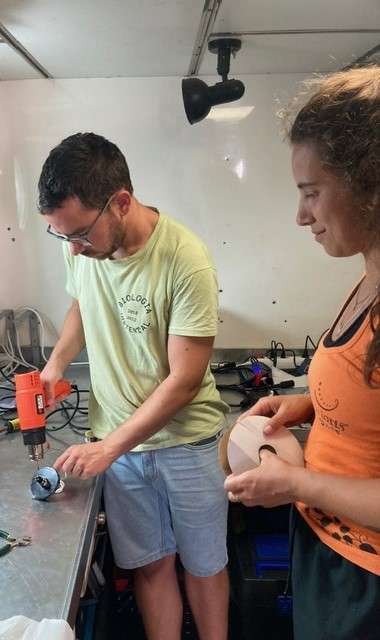
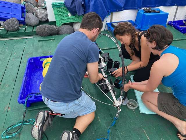
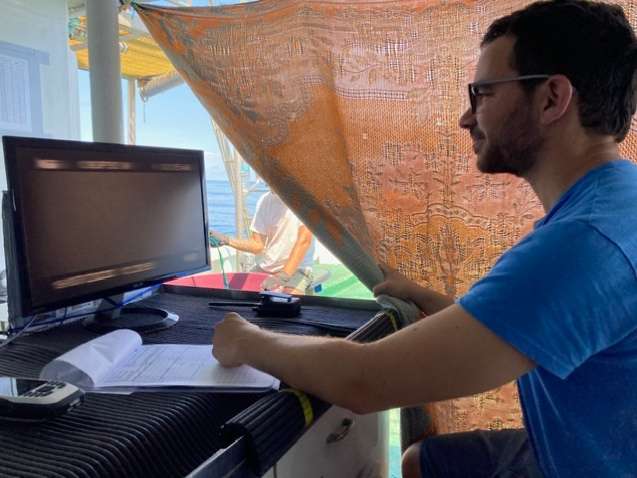
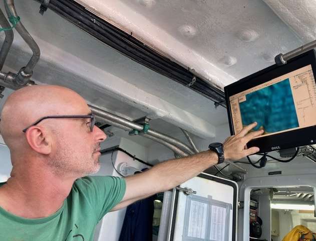
Activities
Funding


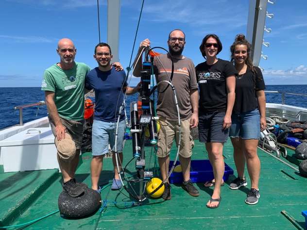
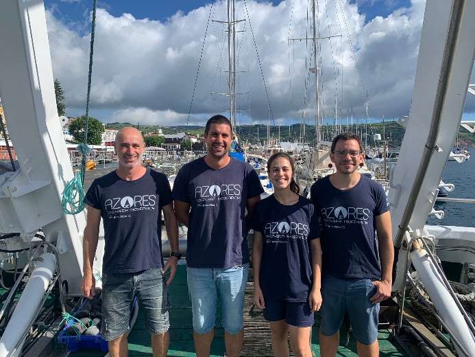
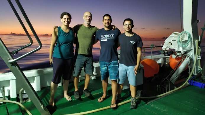
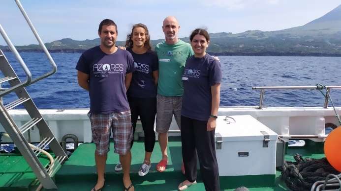
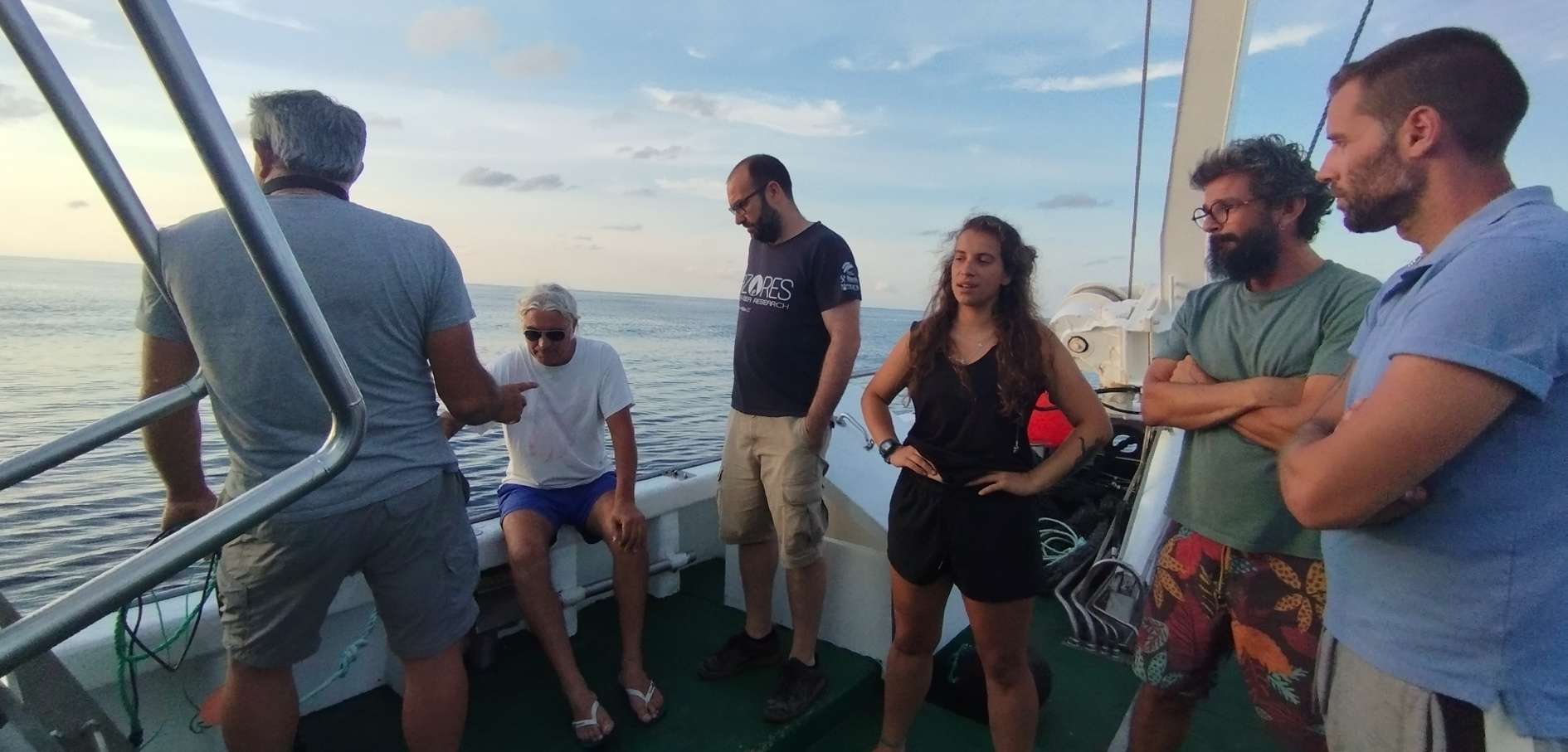
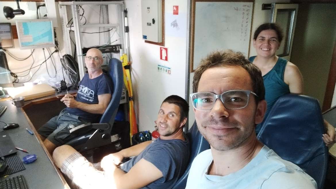
Cruise crew
Chief scientist
Scientific crew
António Godinho
Carlos Dominguez-Carrió
Gal·la Edery
Gerald Hechter Taranto

Guilherme Gonçalves

Inês Carneiro

Inês Correia Bruno
João Balsa
Laurence Fauconnet
Luís Rodrigues
Marc Pladevall
Sérgio Gomes
Collaborators
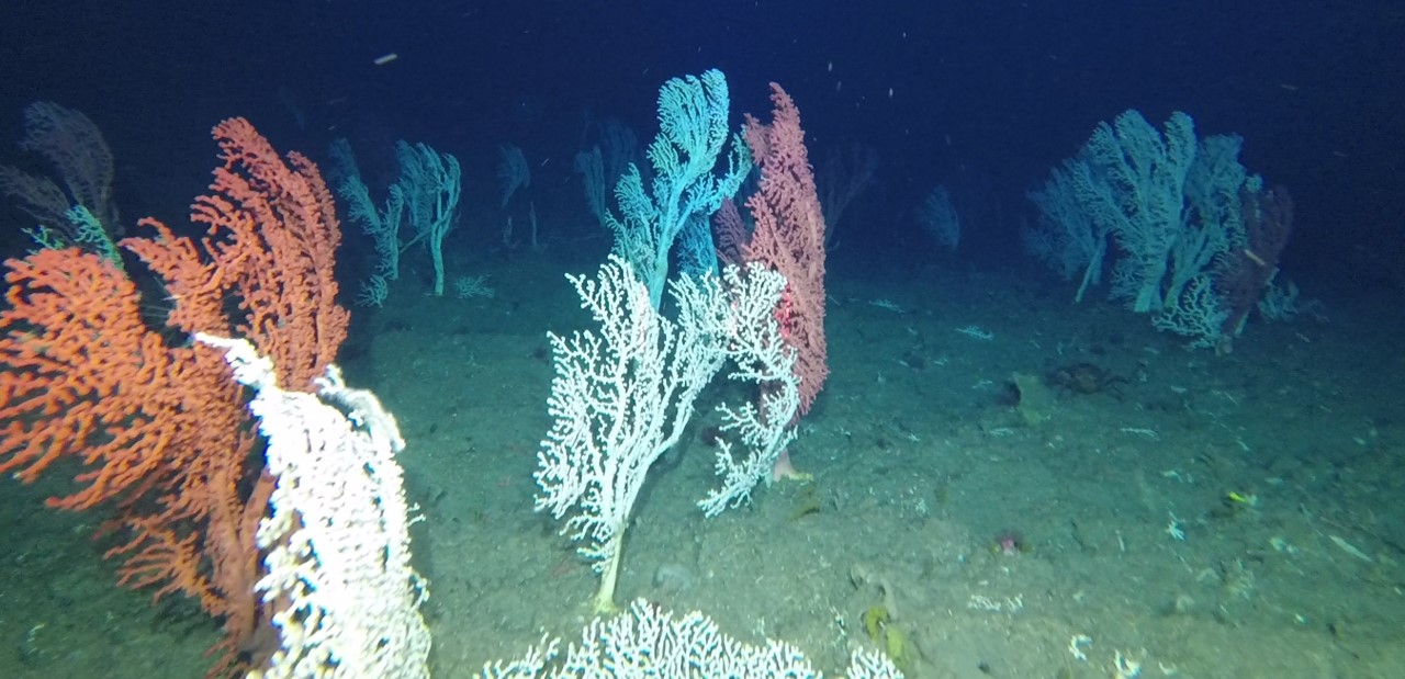
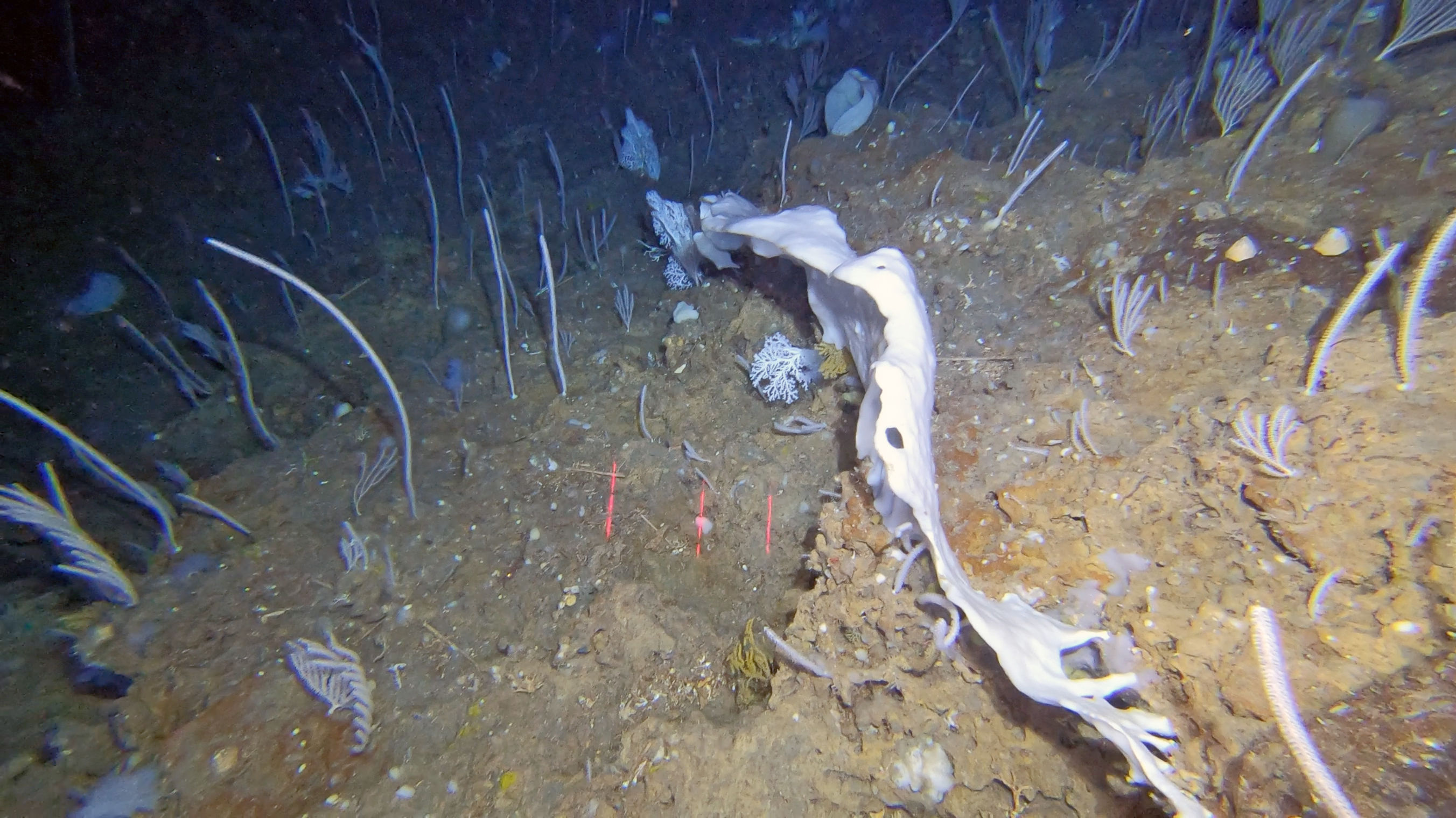
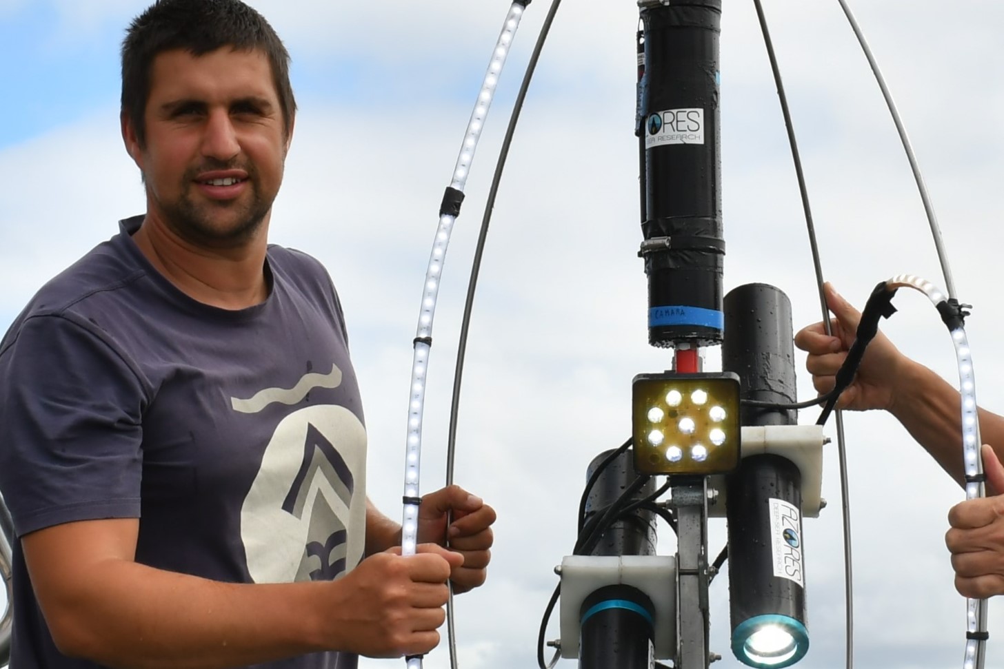
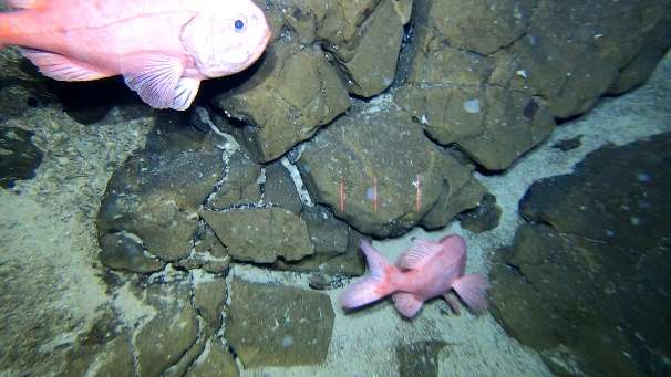
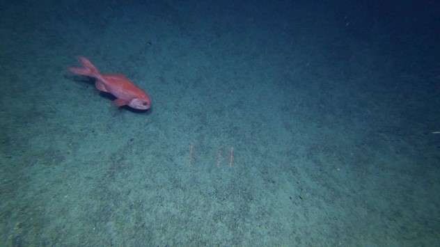
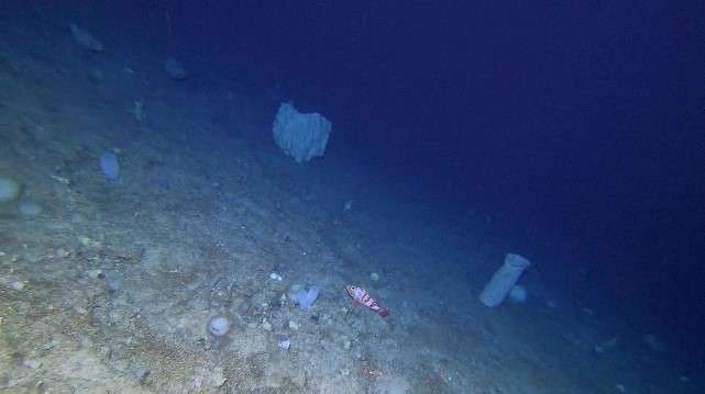
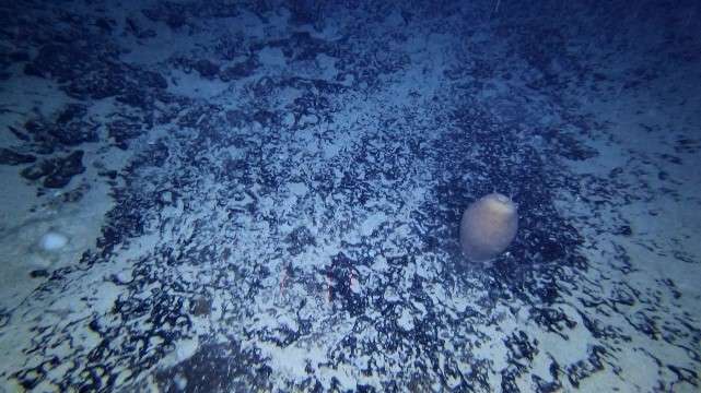
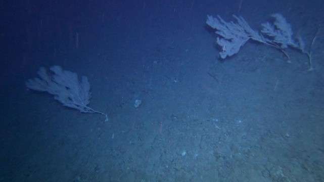
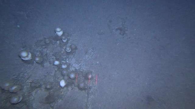
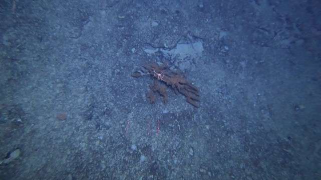
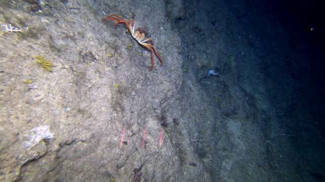
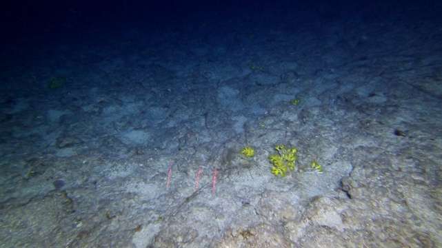
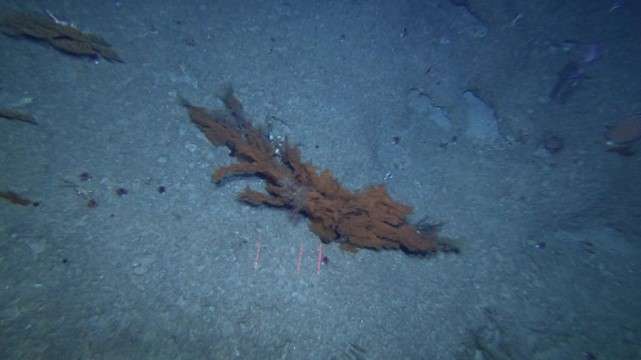
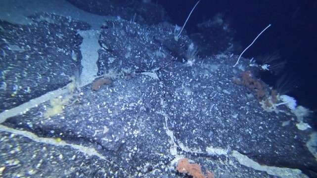
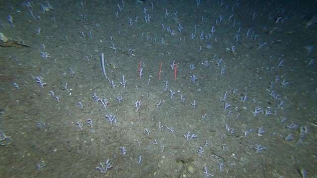
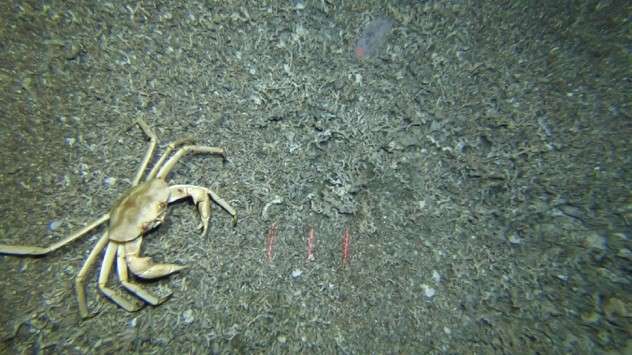
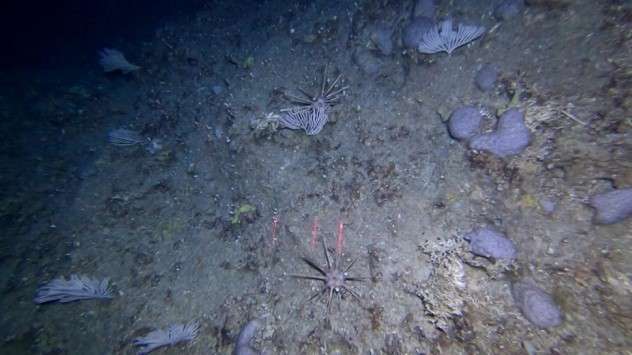
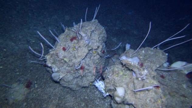
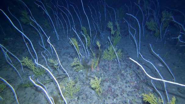
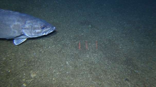
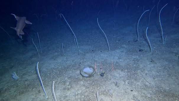
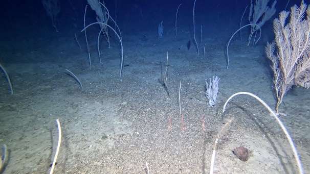
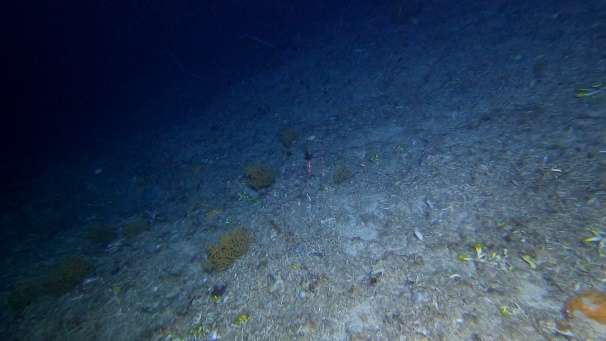
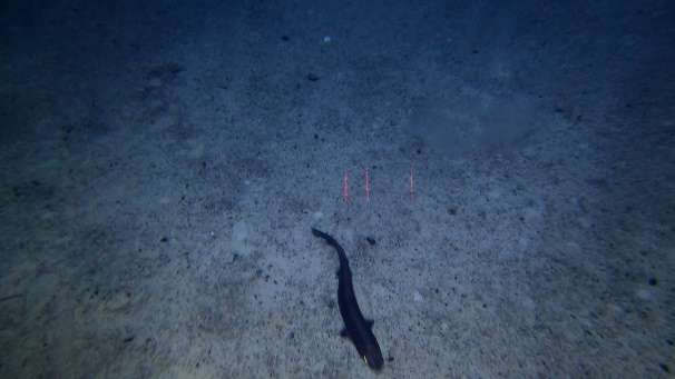
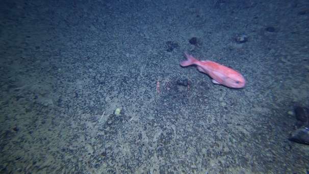
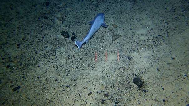
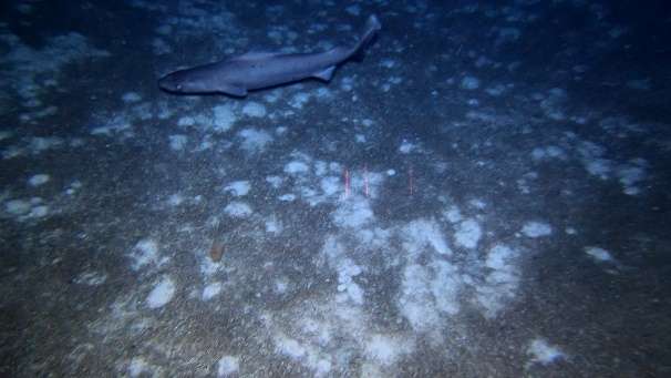
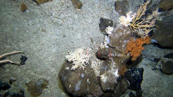
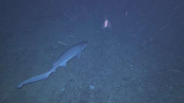
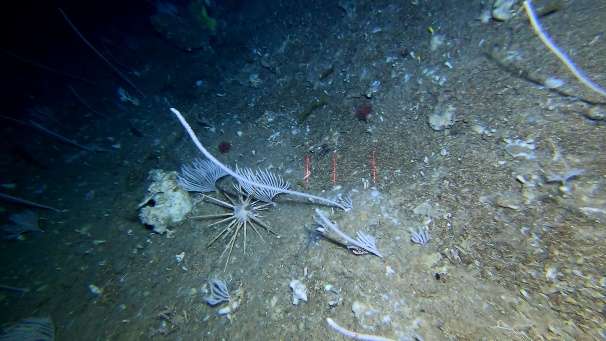
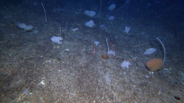
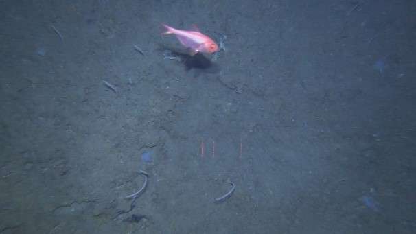
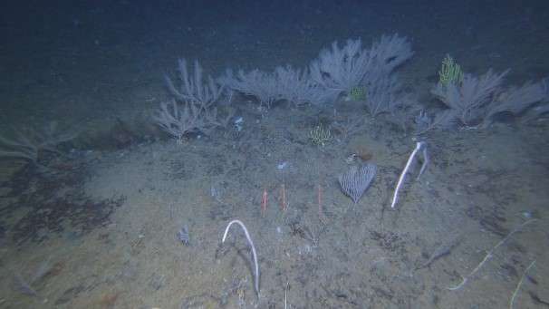
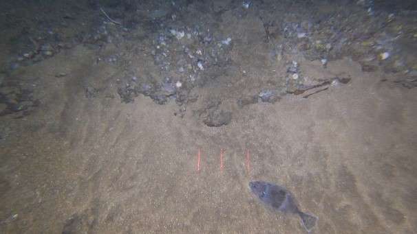
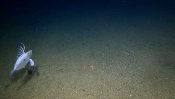
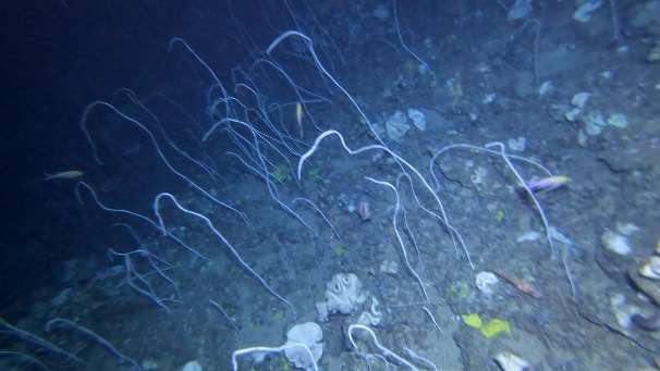
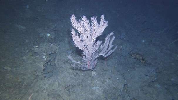
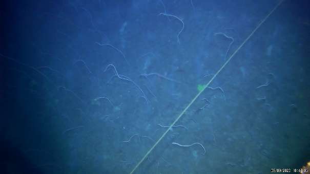
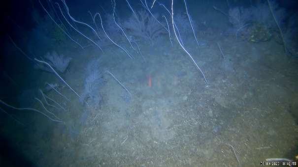
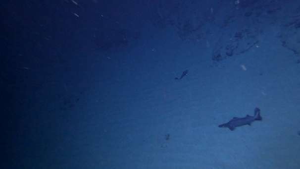
Images


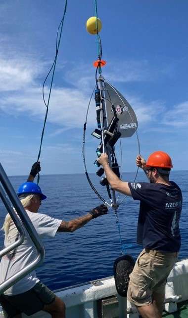
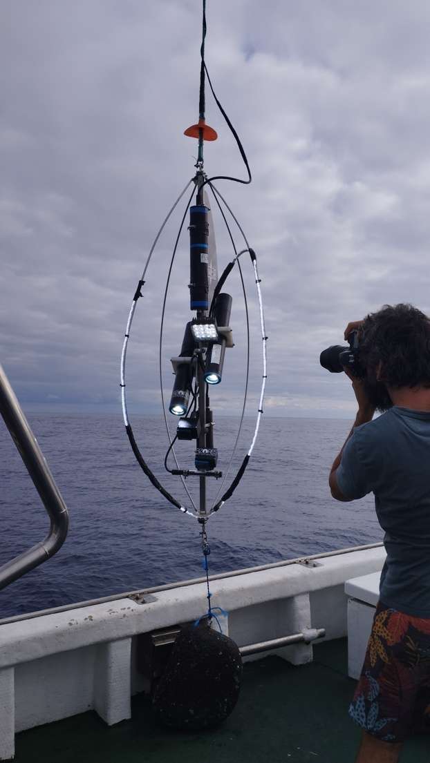


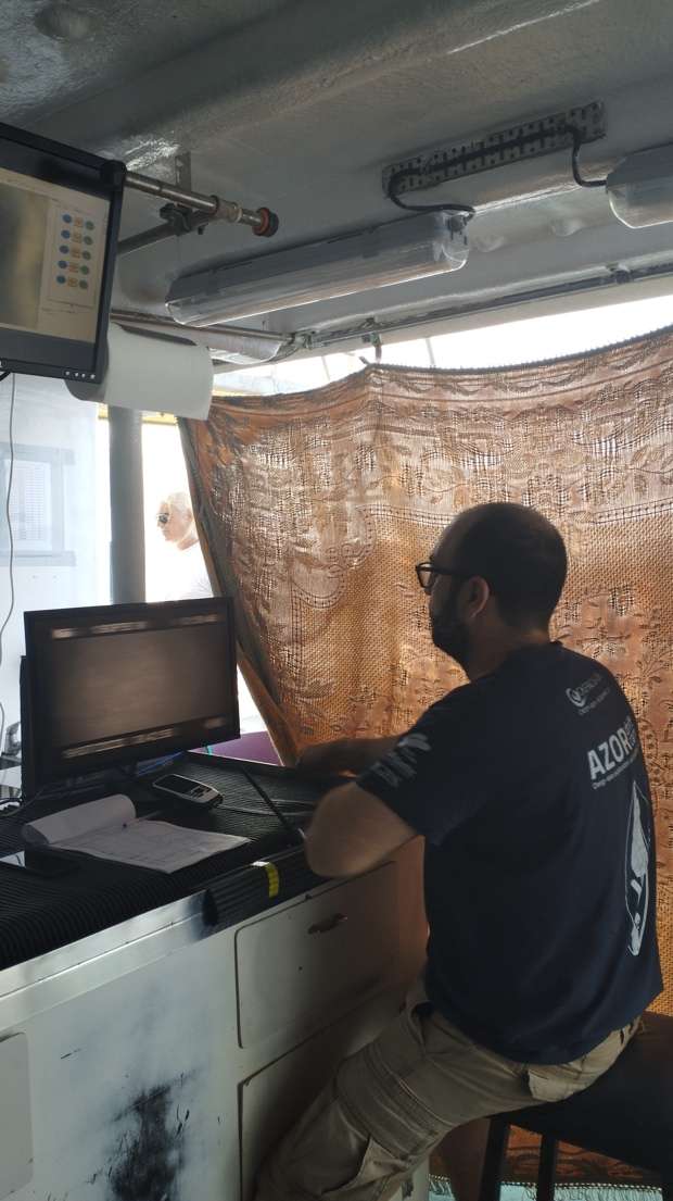

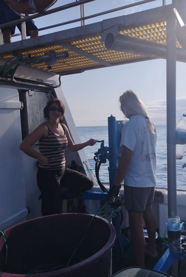
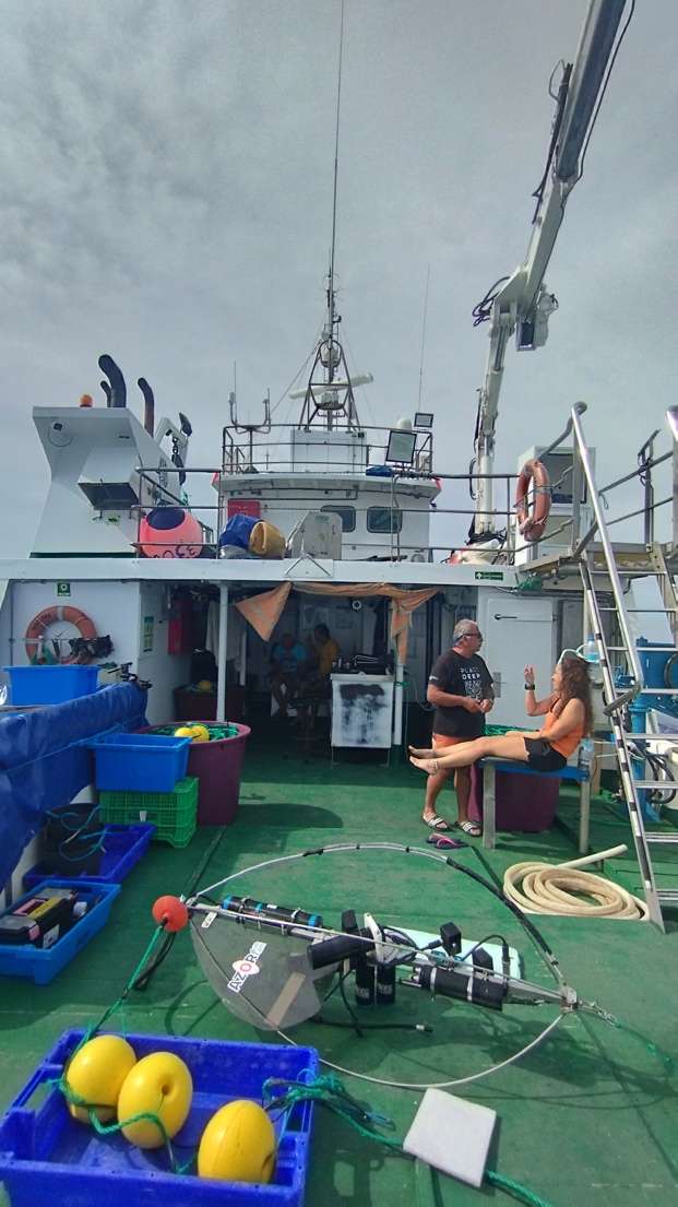
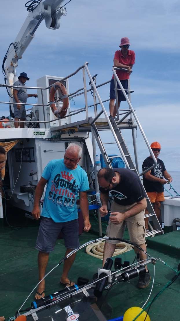
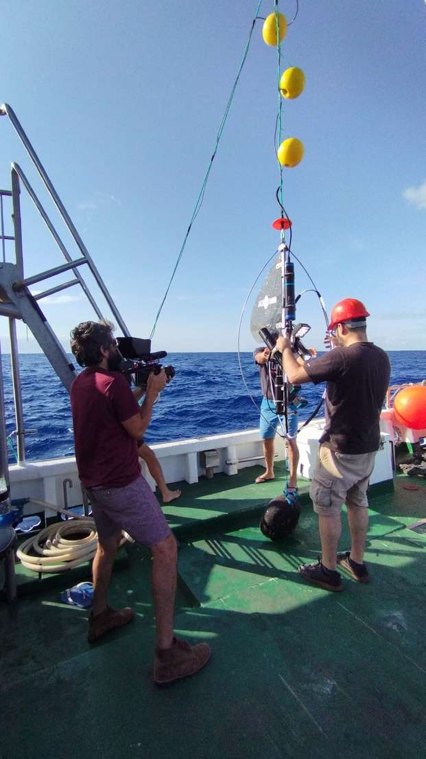


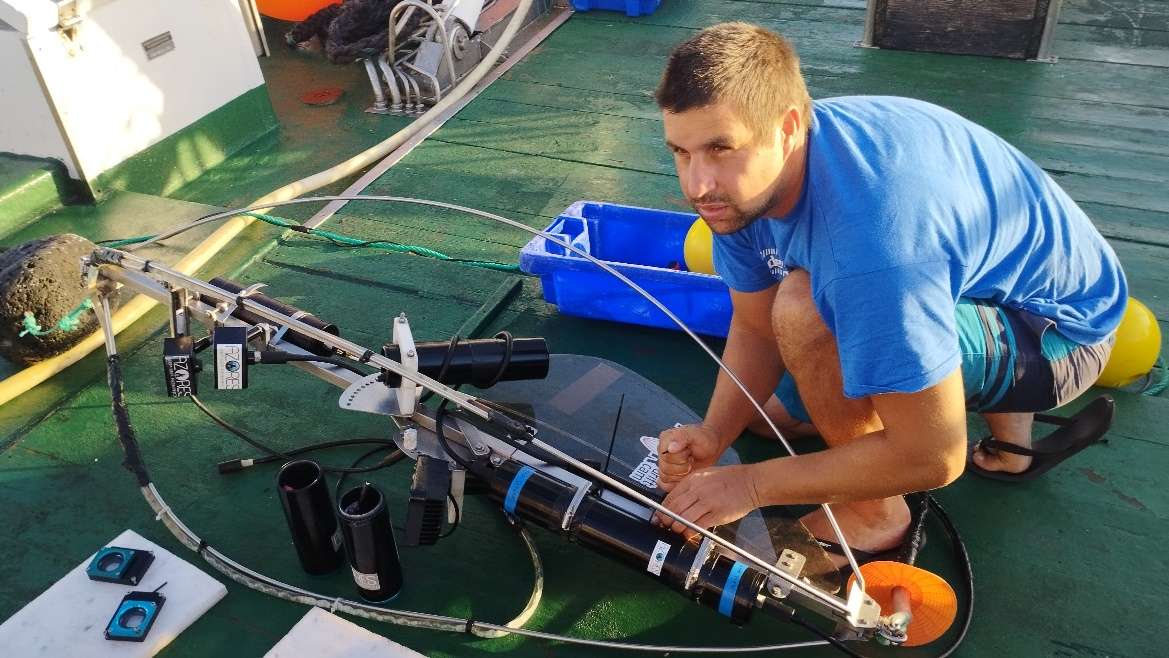
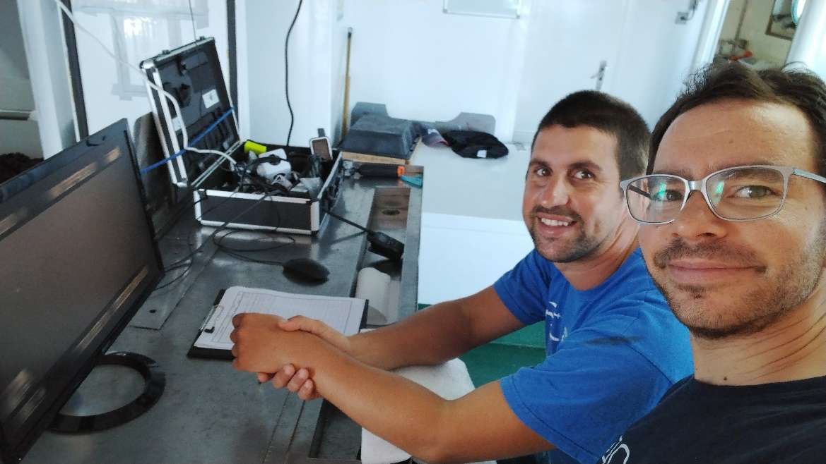
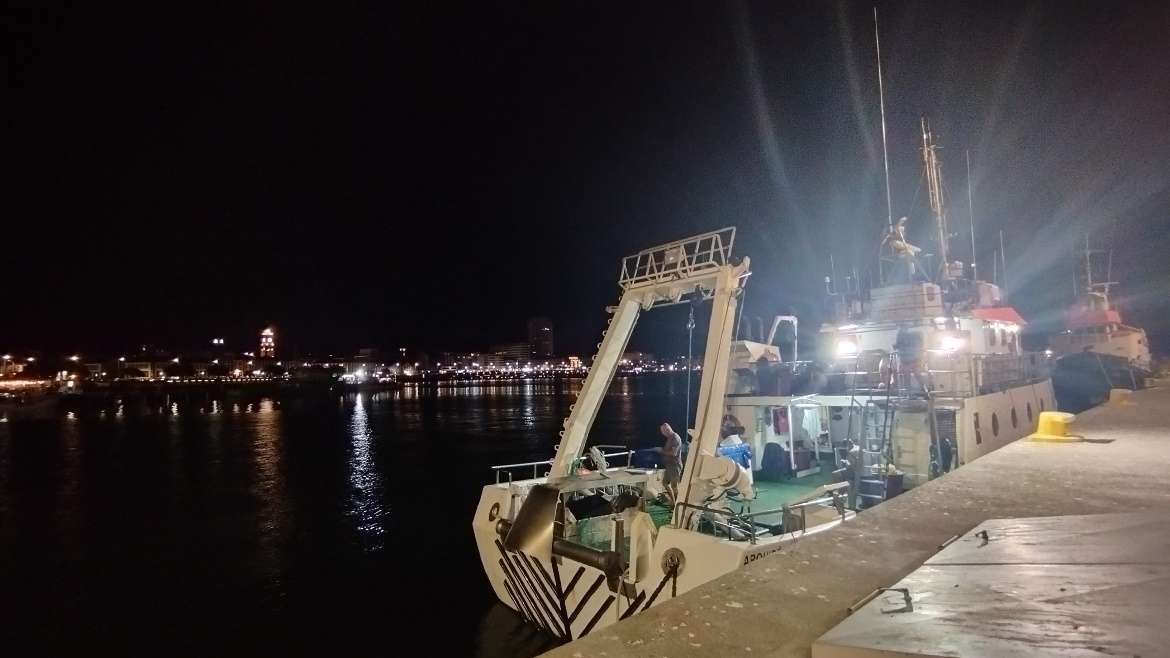
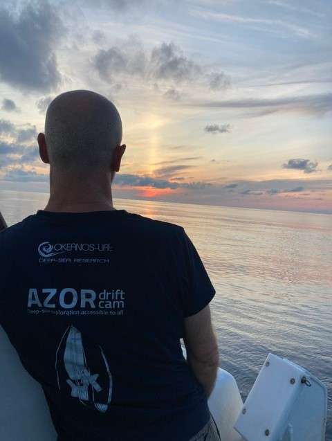
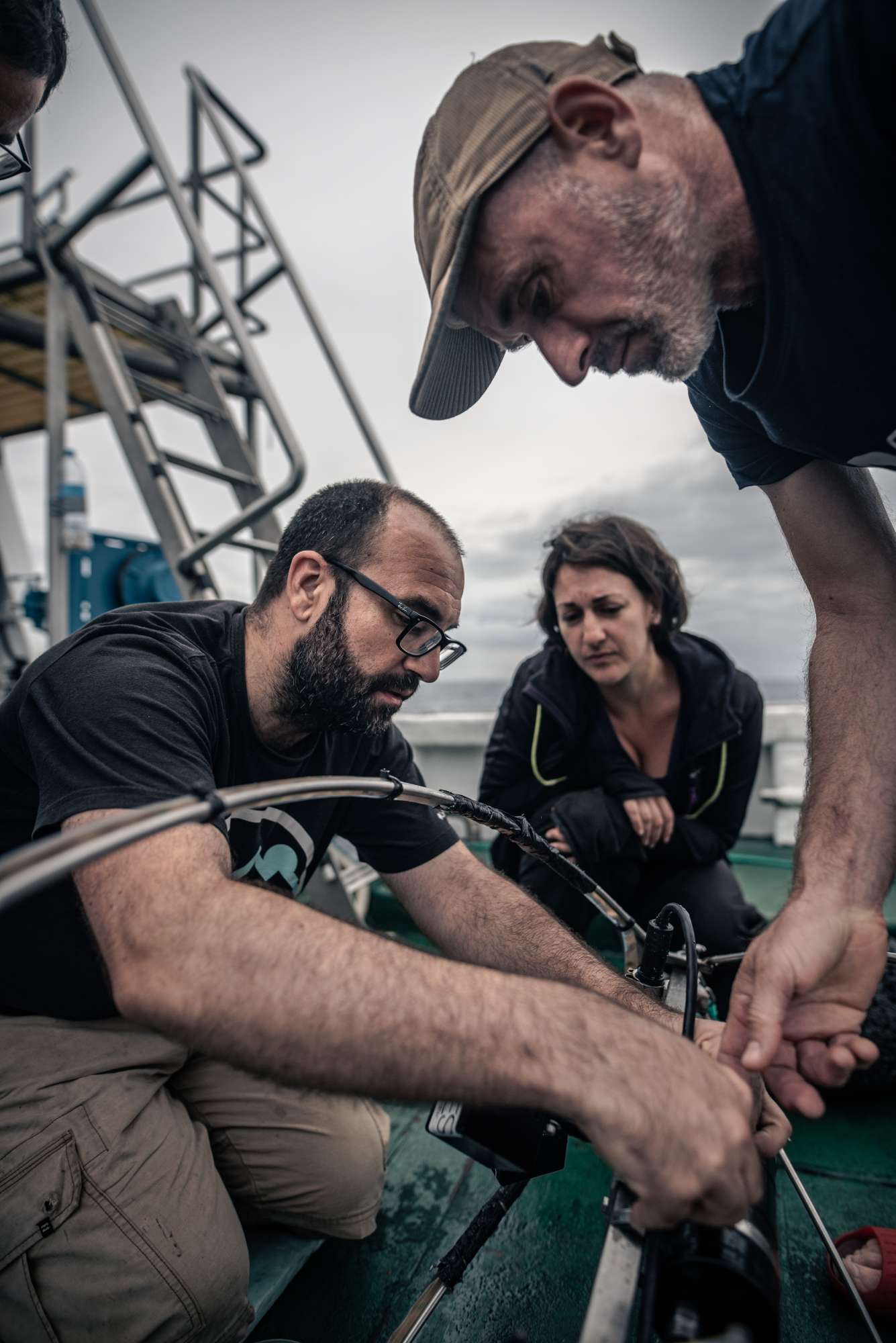

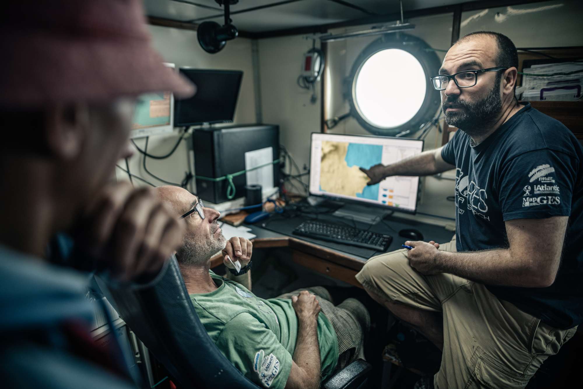
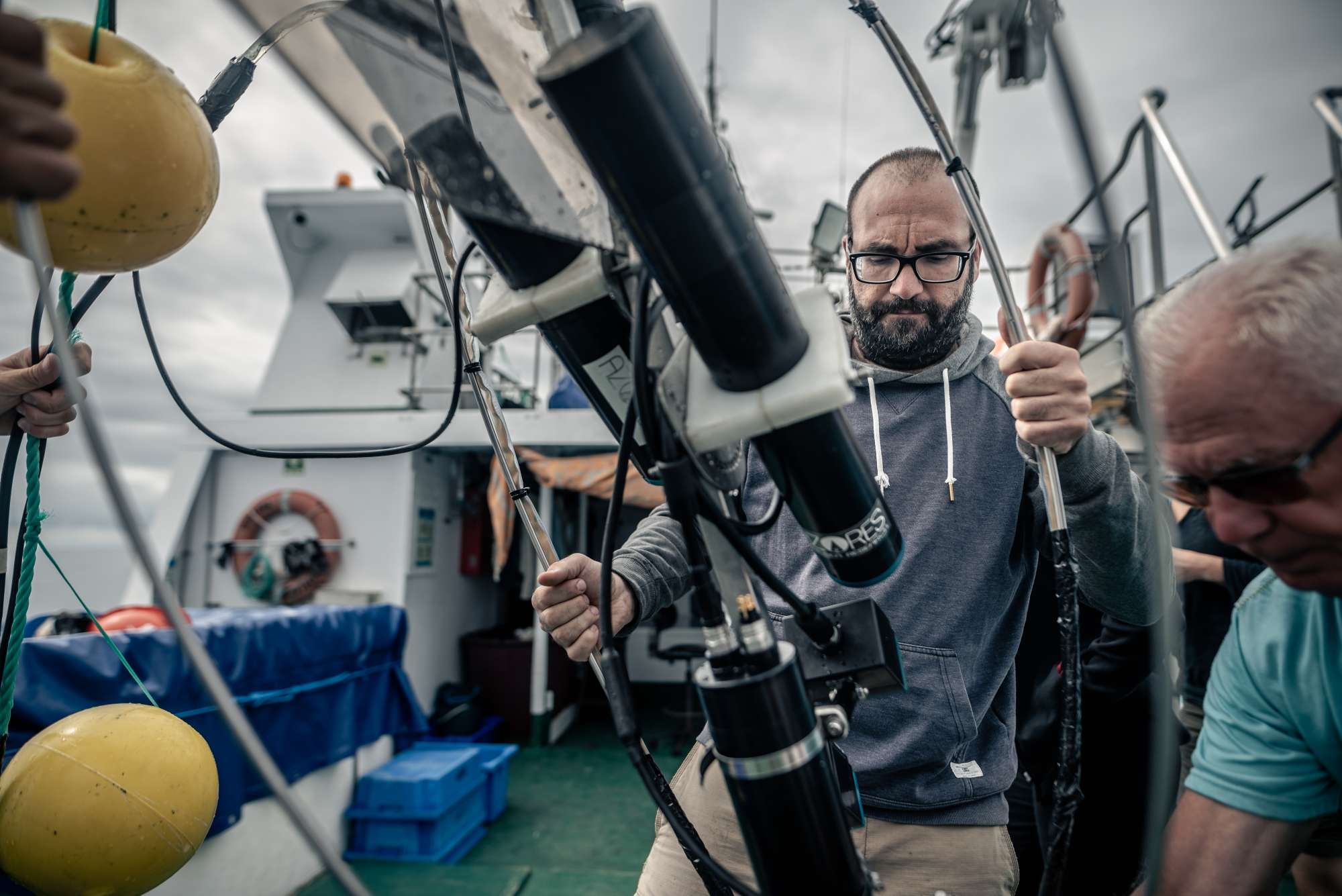
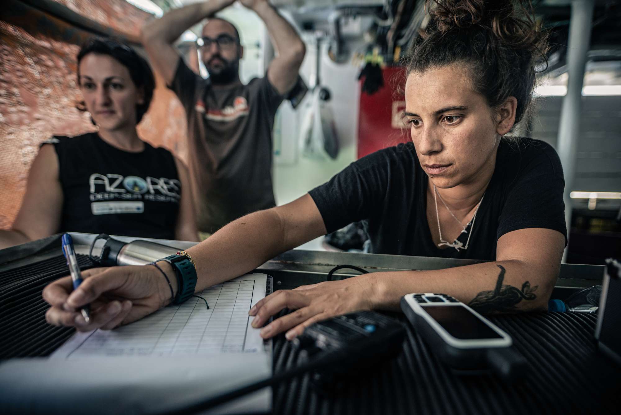
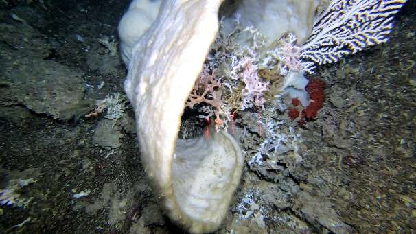
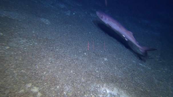
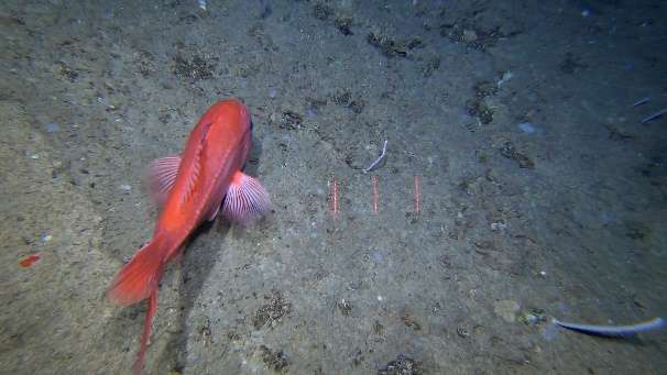
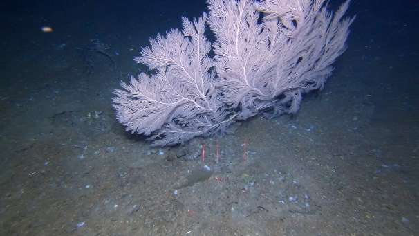
Dives images


Location
Departamento de Oceanografia e Pescas — Universidade dos Açores
Rua Prof. Doutor Frederico Machado, No. 4
9901-862 Horta, Portugal
Contact
Email: azoresdeepsea@gmail.com
AZORES DEEP-SEA RESEARCH © 2020-2026 — RELEASE 2.1
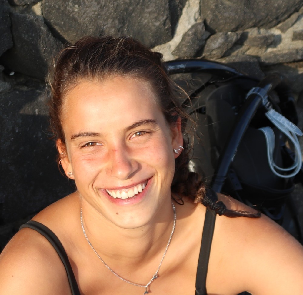
 VALTER MEDEIROS