AZORES
DEEP-SEA RESEARCH © CRUISES
Stations
MapGES 2023 MT Physeter
Loading…
MapGES 2023 MT Physeter
Mapping deep-sea biodiversity and “Good Environmental Status” in the Azores
MapGES 2023 MT Physeter
Loading cruise data…
Mapping deep-sea biodiversity and “Good Environmental Status” in the Azores
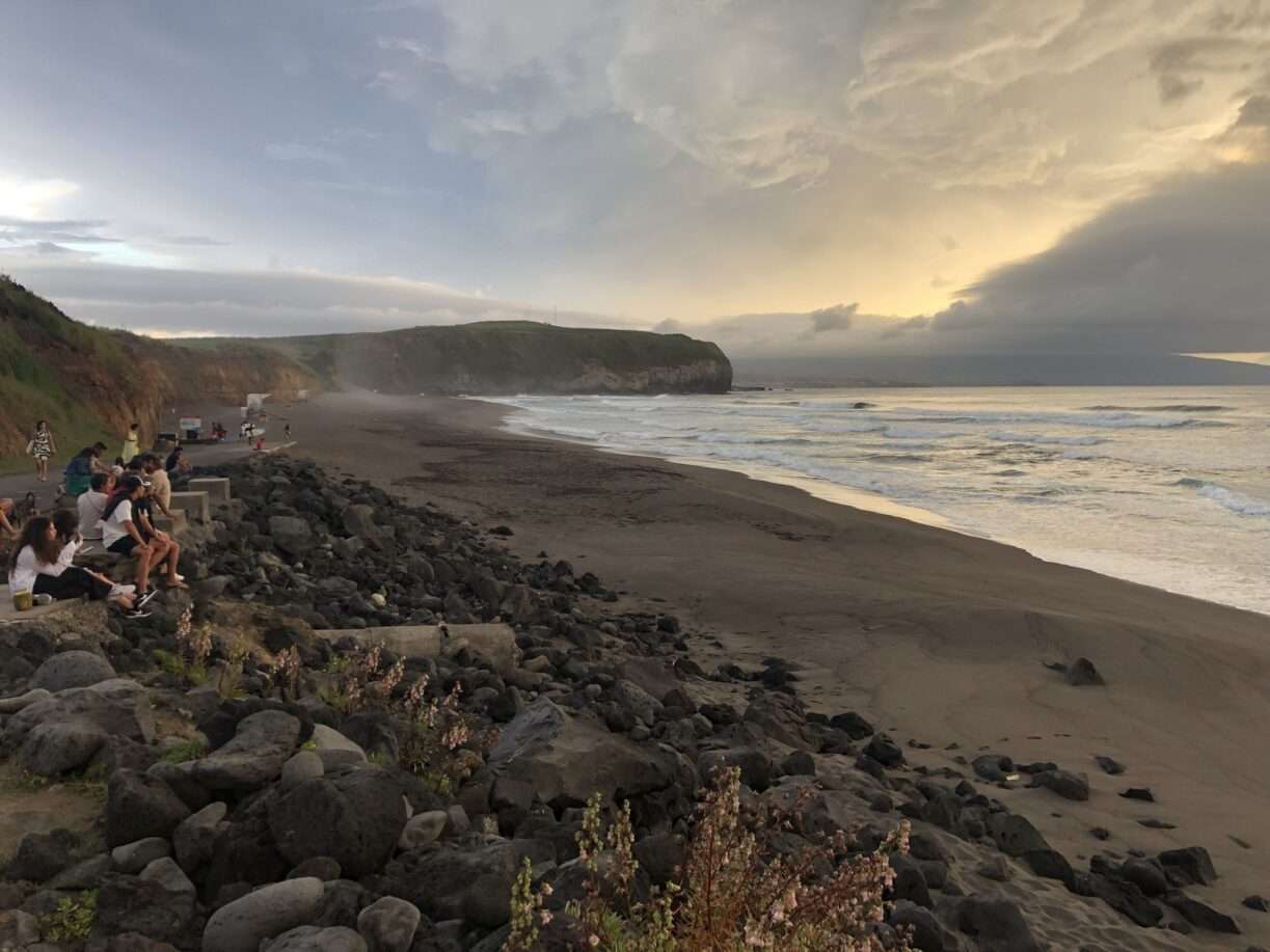
Location: Princesa Alice/Açor banks, Terceira Island slopes and Álvaro Martins seamount (Central Azores), and São Miguel Island slopes (Eastern group)
Year: 2023
212 stations
212 dives
4380 km transits
32 areas visited
Summary
Mapping deep-sea biodiversity and “Good Environmental Status” in the Azores
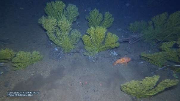
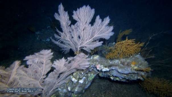
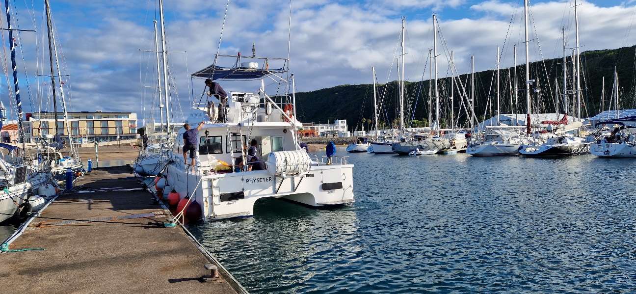
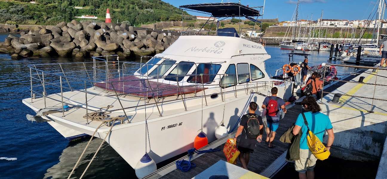
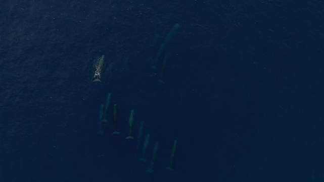
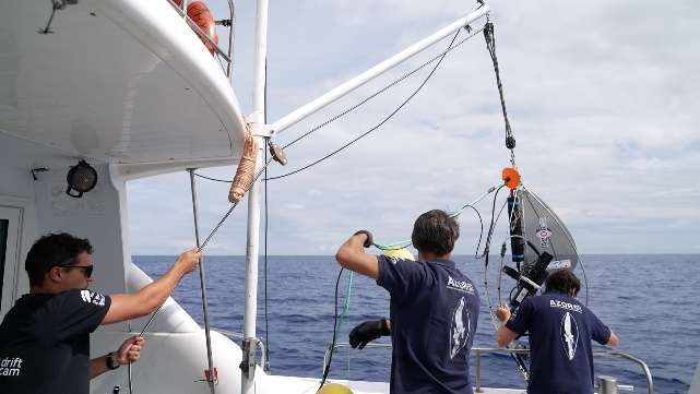
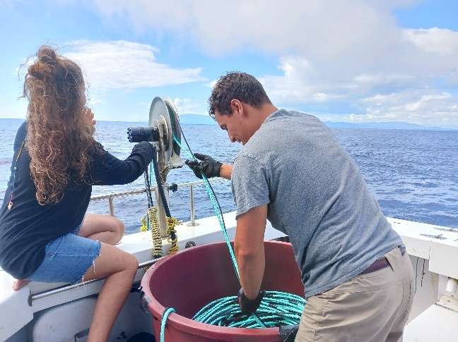
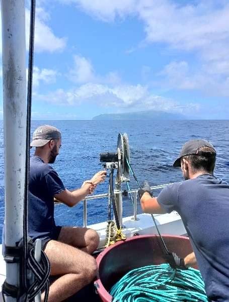
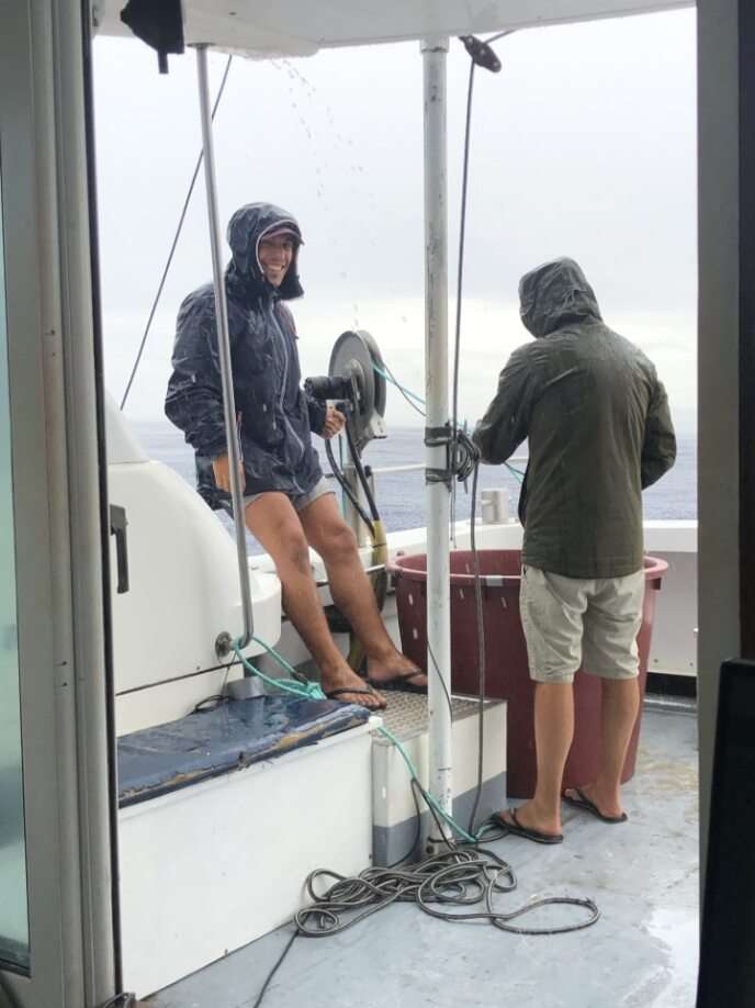
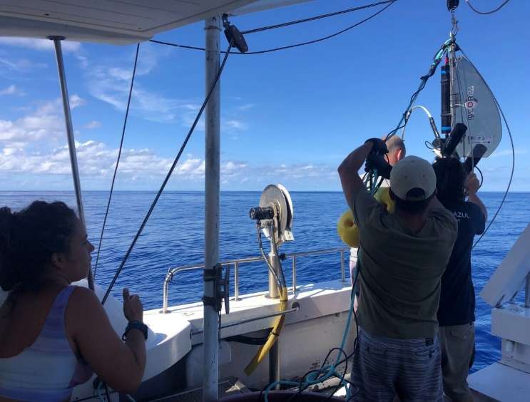
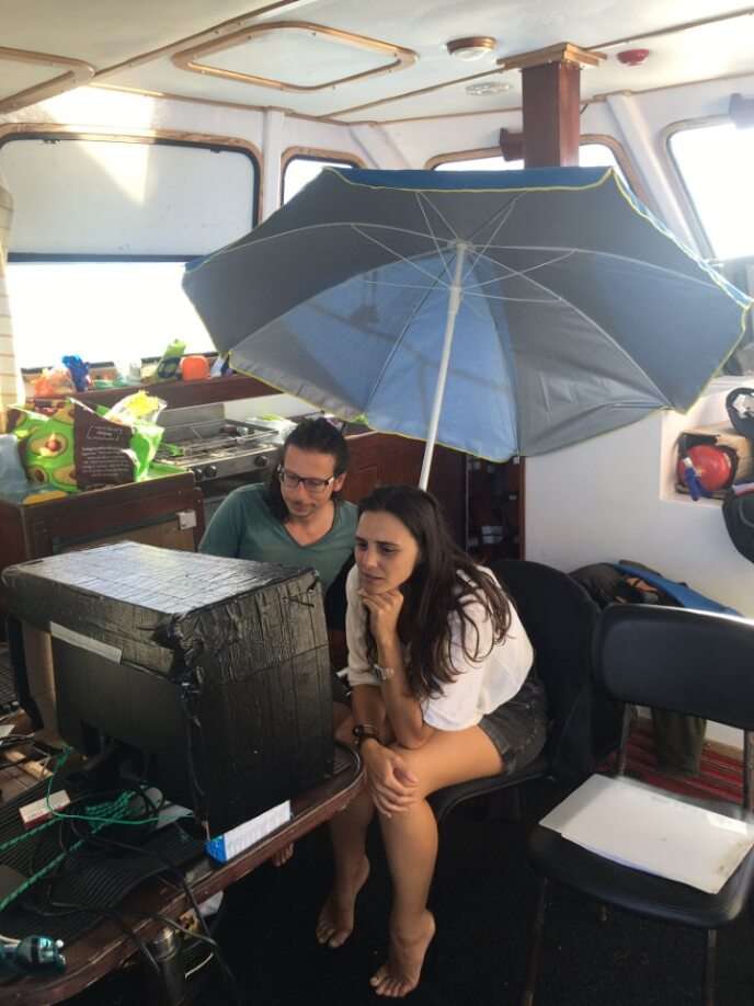
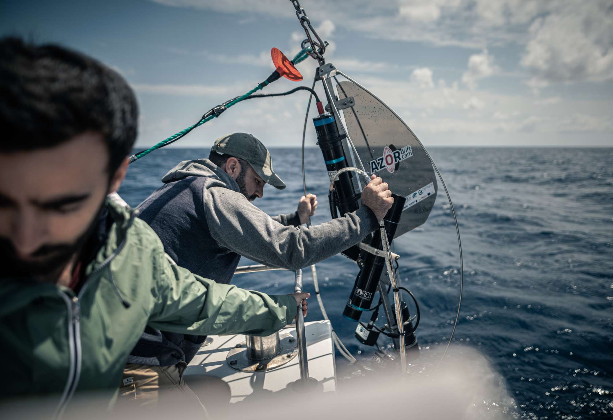
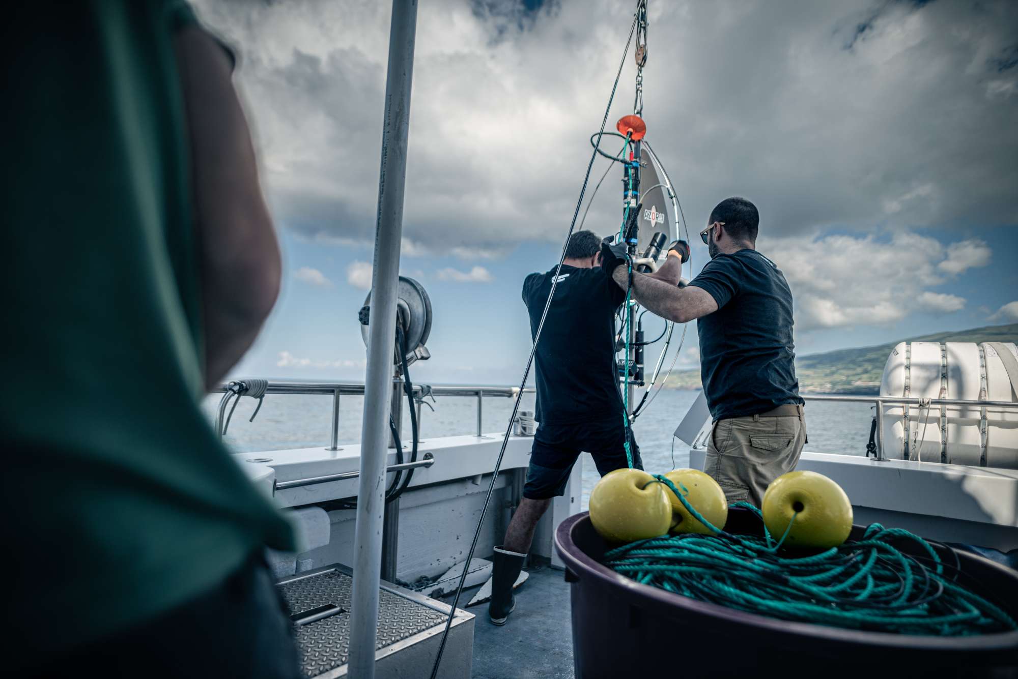
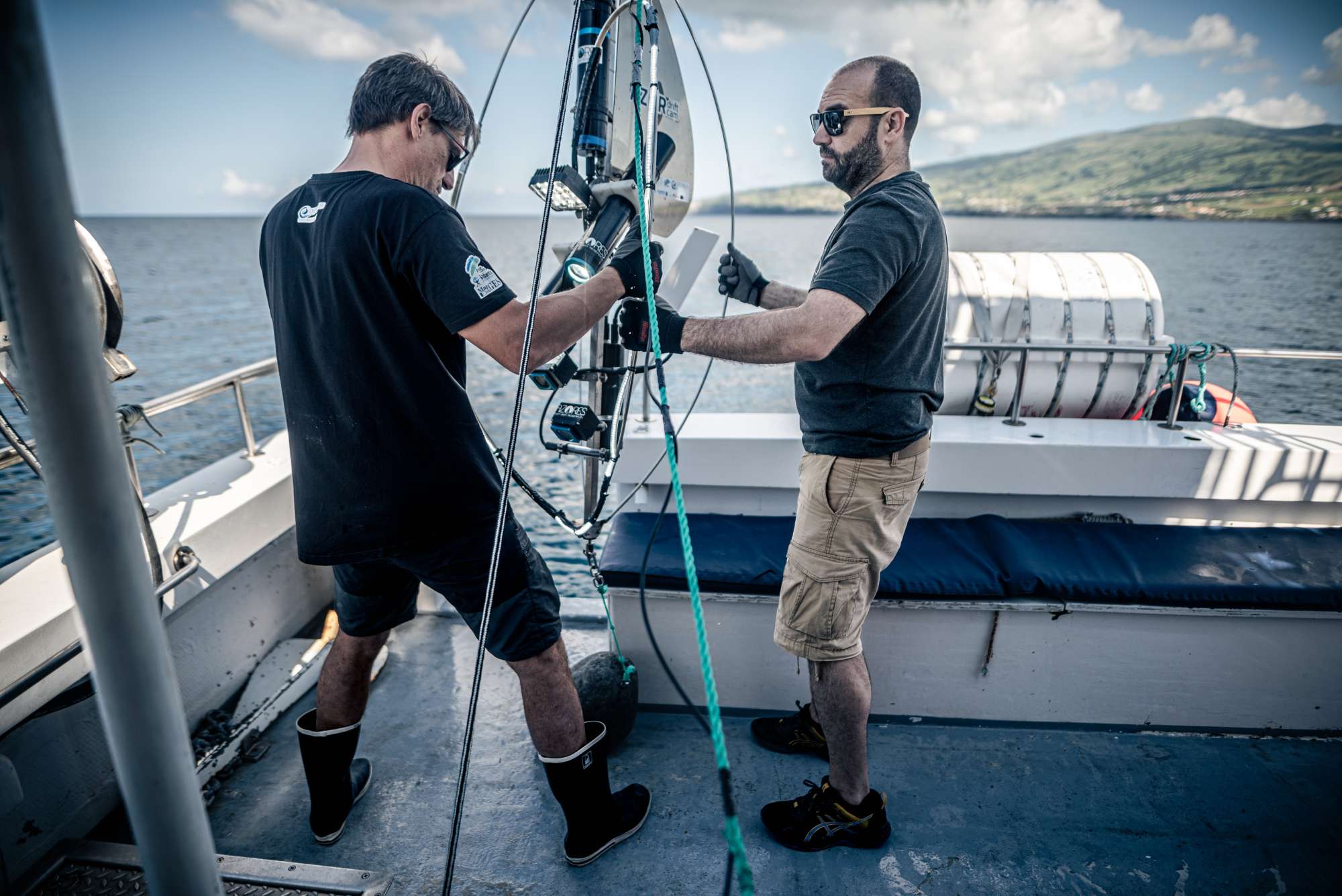
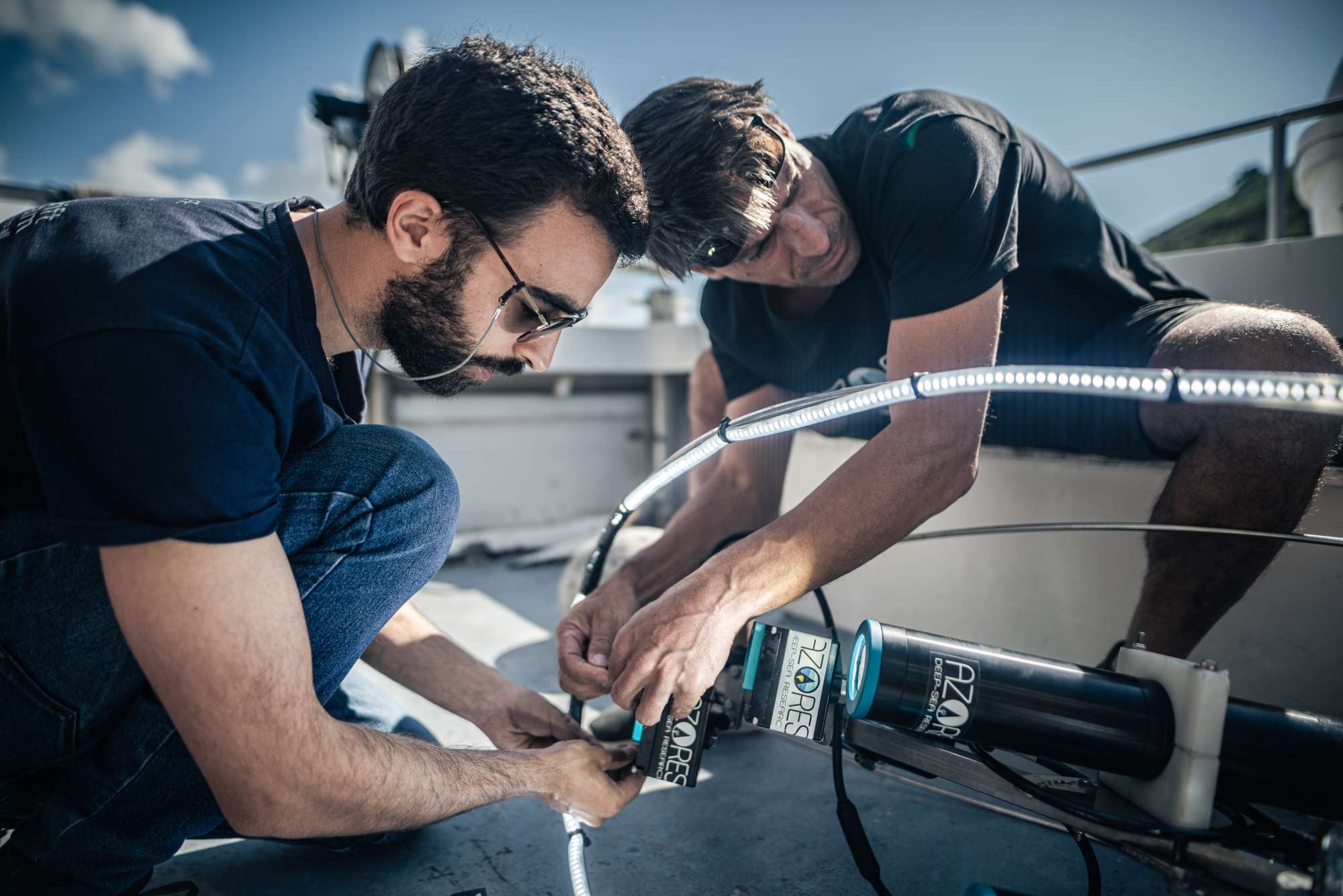
The first part of the MapGES 2023 survey was composed of three Legs, which were planned to visit some areas of banks and seamounts south of Faial and Pico islands (e.g., Princesa Alice, Açor, Agulhas, among others) and around Terceira Island, onboard MT Physeter. Overall, 115 dives out of 119 stations were accomplished in 13 sampling areas. During Leg 1, from 15th to 21st May 2023, we performed 27 successful dives with the Azor drift-cam, where we surveyed the deep-sea benthic communities dwelling on the slopes of the geomorphological structures of Princesa Alice, São Mateus de fora, Agulhas and Bourée banks. During Leg 2, from 30th May to 11th July 2023, we performed 25 successful dives with the Azor drift-cam. Leg 2 of the MapGES 2023 cruise continued exploring slopes south Faial and Pico Island such as De Guerne N, Bourée and Açor. Also, during Leg 2, 4 dives were carried out in the Faial-Pico channel as part of the workshop Azor drift-cam and an unexplored area called Agulhas 12 Milhas was visited. During Leg 3, from 14th July to 30th July 2023, we resurveyed and explored some new seamounts and slopes around Terceira Island, including Gastromar, Maçarico or Álvaro Martins structures, accounting for a total of 67 dives. The second part of MapGES 2023 on board the MT Physeter was composed of two Legs (4 and 5), which were planned to visit unexplored banks, ridges, slopes and seamounts around the Islands of São Miguel and São Jorge. Out of the 93 dives attempted in 12 different sampling areas, 89 provided useful information about local deep-sea benthic communities. These numbers represent a big accomplishment once we consider the adverse atmospheric conditions present on most days of Leg 4 and 5, which posed a real challenge to the planning and execution of our work at sea. During Leg 4 (July 31 – August 04, 2023) we deployed the Azor drift-cam on geomorphological structures and slopes located in the eastern area of São Jorge Island. Out of the 12 dives attempted, 11 were successful and provided useful information about the benthic communities inhabiting this area. During Leg 5 (August 15 – September 15, 2023) we visited all the sampling areas defined around the Island of São Miguel: São Miguel North, Northeast, East, Southeast, South, Southwest, West and Northwest. In addition, we also visited the Northern part of Mar da Prata, an offshore bank located South/Southwest of São Miguel. Out of the 81 dives attempted, 78 were successful and provided useful information about the benthic communities inhabiting these areas.
MapGES 2023 is the continuation of our long-term strategy to map deep-sea biodiversity and identify Vulnerable Marine Ecosystems (VMEs) in the Azores using the Azor drift-cam system. This cruise was funded under the Contract 18/DRPM/2022, regarding the "Characterization of deep-sea habitats, for its mapping up to the outer limit of the Azores sub-area of the Portuguese exclusive economic zone" acquisition of services between the Government of the Autonomous Region of the Azores, through the Regional Directorate for Maritime Policies (DRPM) of the Regional Secretariat for Sea and Fisheries (SRMP) and the Gaspar Frutuoso Foundation (FGF). It benefits from funding from the European Union under the operation "ACORES-14-62G4-FEDER-000001 - Filling gaps in the characterization of maritime space", within the scope of the reprogramming of the Azores 2020 Operational Program (PO Açores 2020), by incorporating the Recovery assistance for cohesion and the territories of Europe programme (REACT-EU) and by the European Regional Development Fund (ERDF). On this cruise, we operated from the MT Physeter and planned to visit some unexplored areas such as the geomorphological structures around the Princesa Alice bank, the slopes of Terceira Island (central Azores), and the slopes of São Miguel Island (eastern Azores). As in other MapGES cruises, the objectives were to (i) map benthic communities inhabiting unexplored seamounts, ridges and island slopes, (ii) identify new areas that fit the FAO Vulnerable Marine Ecosystem definition, and (iii) determine distribution patterns of deep-sea benthic biodiversity in the Azores. The results of this cruise added to the previous contributions to identify the environmental drivers that determine the spatial distribution of deep-sea benthic biodiversity in the Azores. It also provided valuable information in the context of Good Environmental Status (GES), Marine Spatial Planning (MSP) and provide new insights on how to sustainably manage deep-sea ecosystems.
Statistics
Highlights
LEGS 1, 2, and 3 - Princesa Alice Bank, Seamounts North of Graciosa and Slopes of Terceira Island
LEGS 4 and 5 – Slopes of São Miguel and São Jorge Islands
Location of operation
Princesa Alice/Açor banks, Terceira Island slopes and Álvaro Martins seamount (Central Azores), and São Miguel Island slopes (Eastern group)
Stations
MapGES 2023 MT Physeter
| Leg | Period | Days at sea | Vessel | Departure | Return |
|---|---|---|---|---|---|
| 1 | 15/05/2023 - 21/05/2023 | 7 | MT Physeter | Horta | Horta |
| 2 | 30/05/2023 - 11/06/2023 | 13 | MT Physeter | Horta | Horta |
| 3 | 14/07/2023 - 30/07/2023 | 17 | MT Physeter | Praia da Victória | Praia da Victória |
| 4 | 31/07/2023 - 04/08/2023 | 5 | MT Physeter | Calheta | Calheta |
| 5 | 15/08/2023 - 15/09/2023 | 32 | MT Physeter | Rabo de Peixe | Ponta Delgada |
A total of 74 days at sea
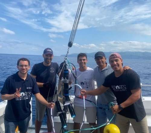
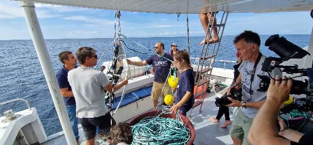
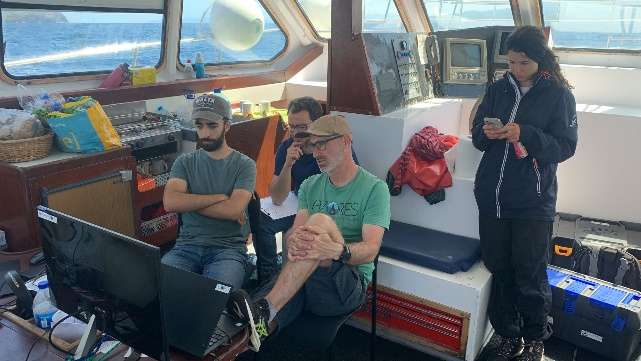
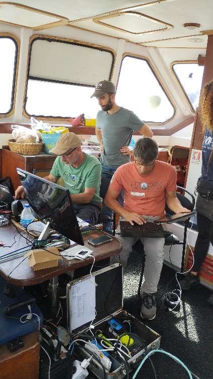
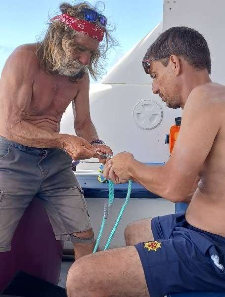
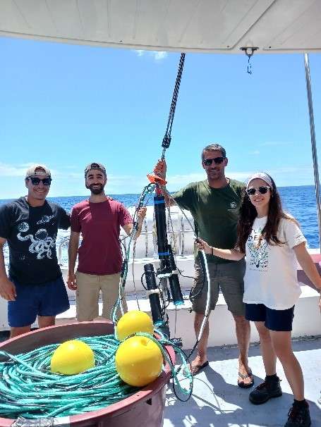
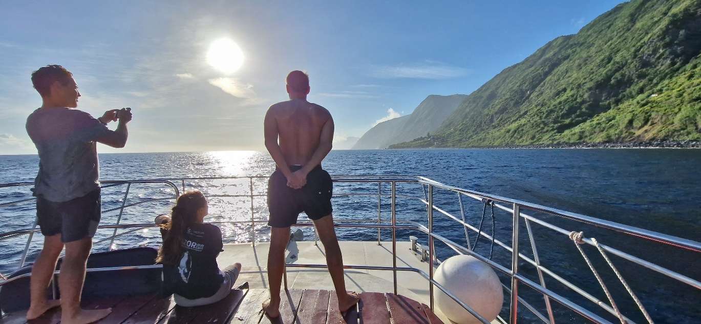
Activities
Funding


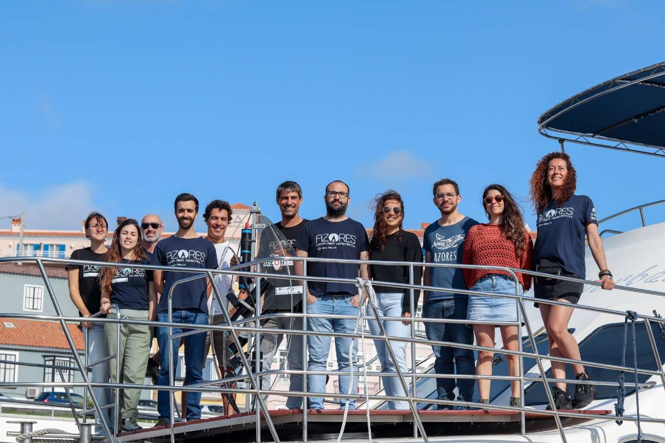
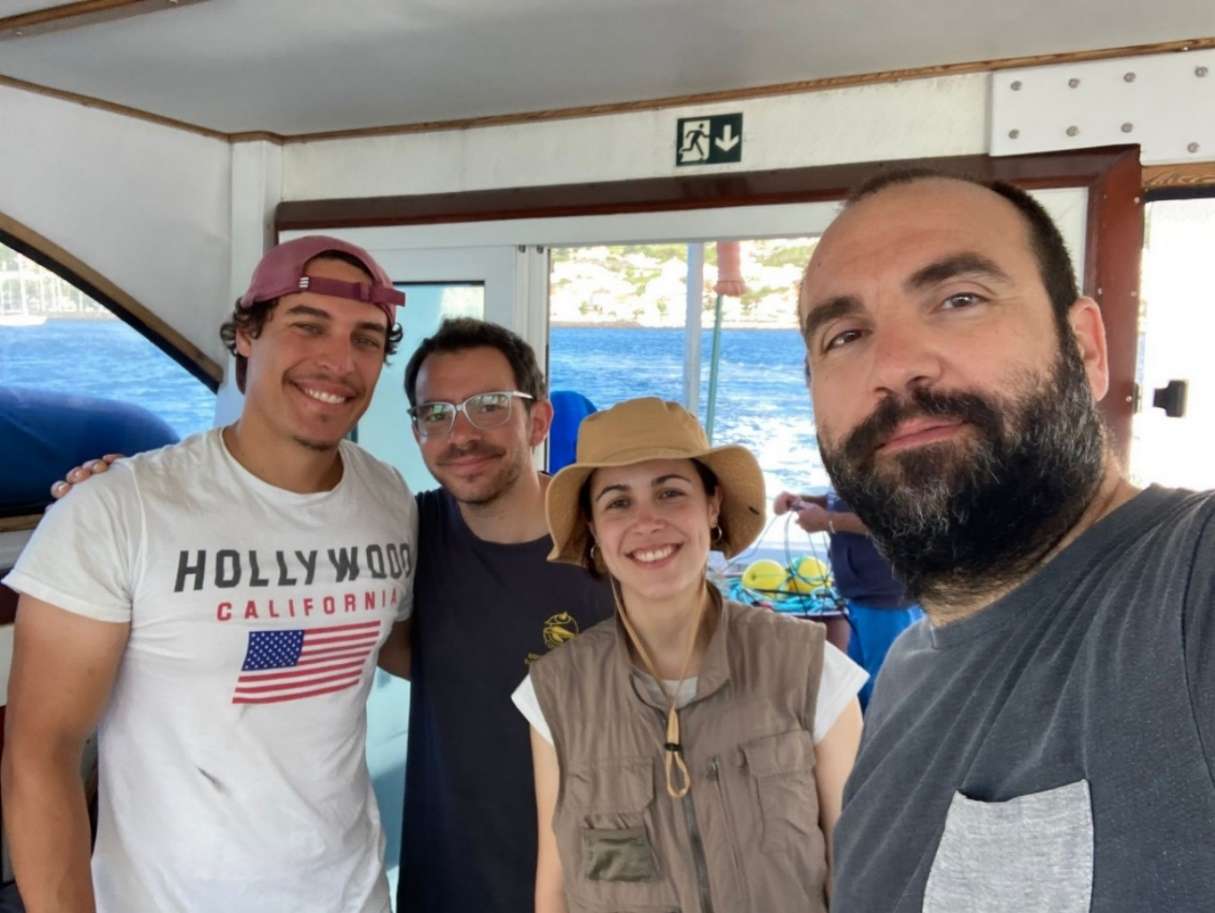
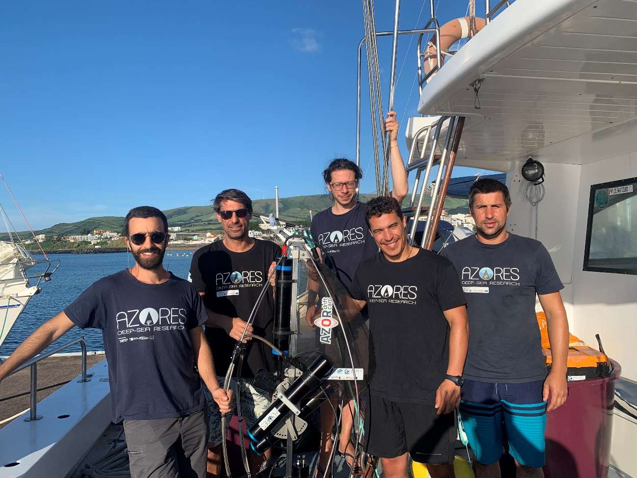
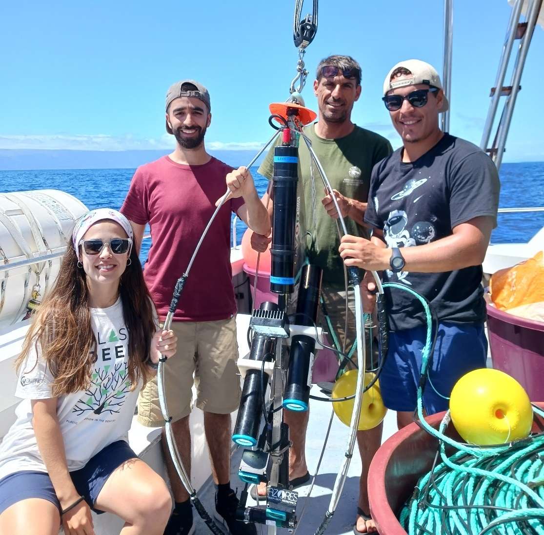
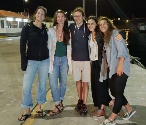
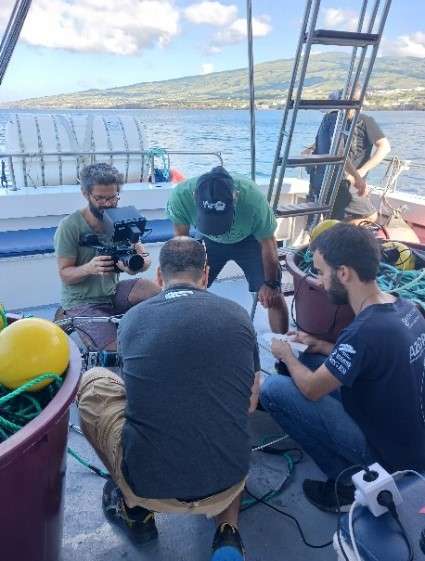
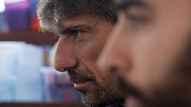
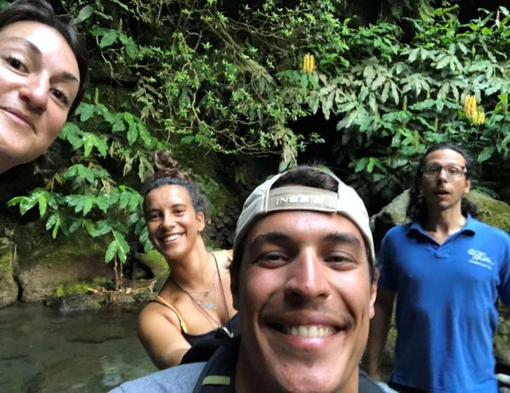
Cruise crew
Chief scientist
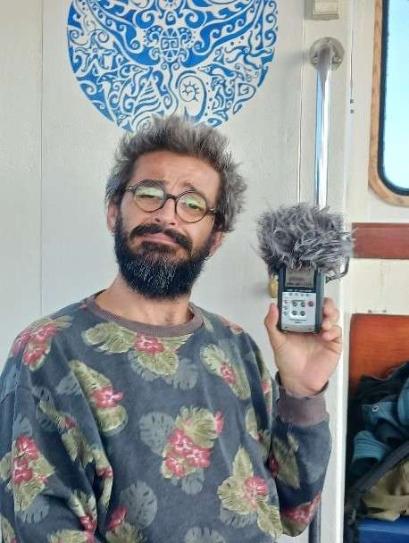
Scientific crew
António Godinho
Gal·la Edery
Gerald Hechter Taranto

Guilherme Gonçalves

Inês Carneiro

Inês Correia Bruno
Isabel Areosa
João Balsa
Laurence Fauconnet
Luís Rodrigues
Manuela Ramos
Marc Pladevall
Sérgio Gomes
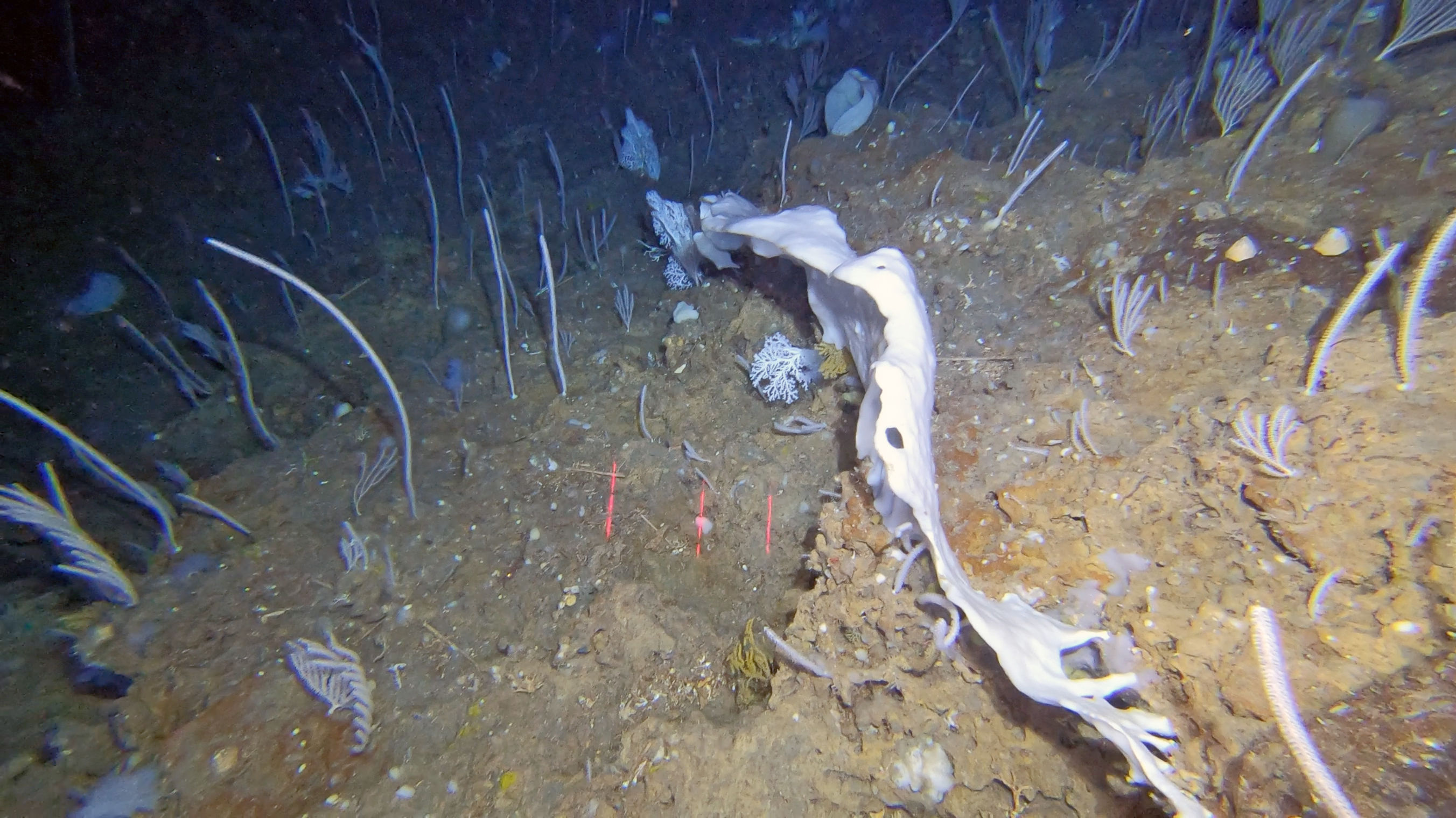
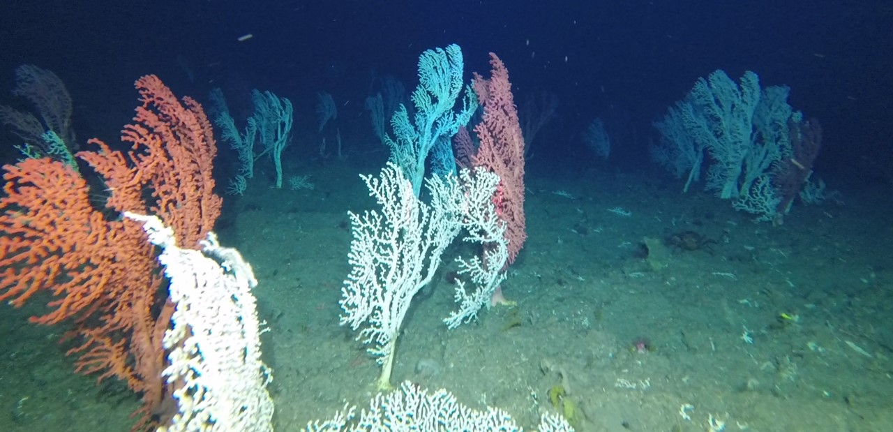
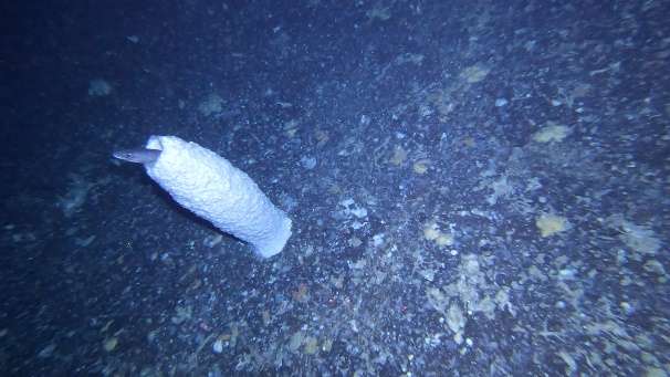
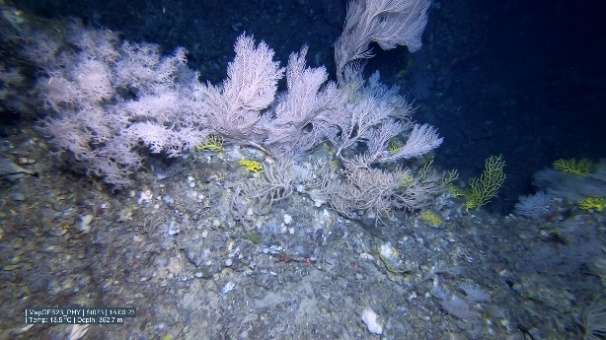
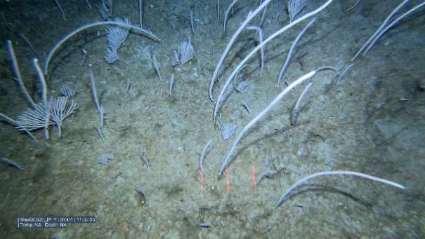
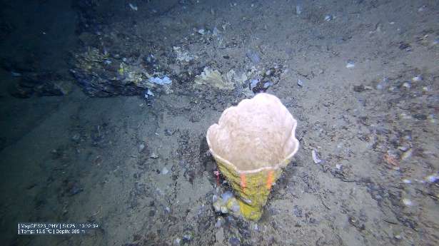
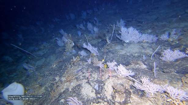
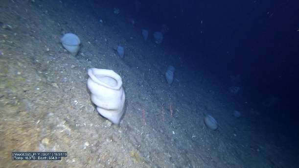
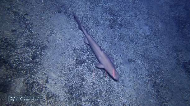
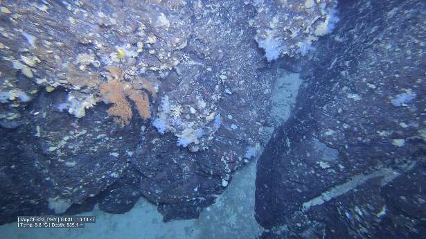
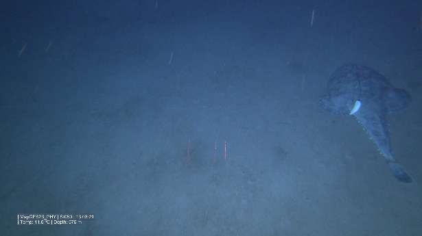
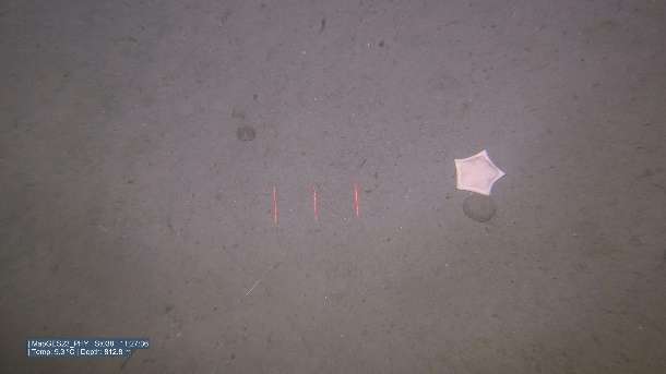
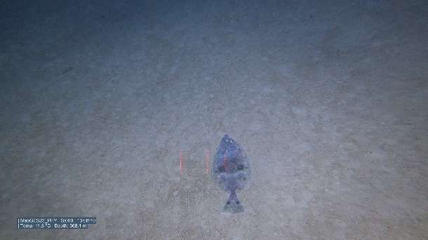
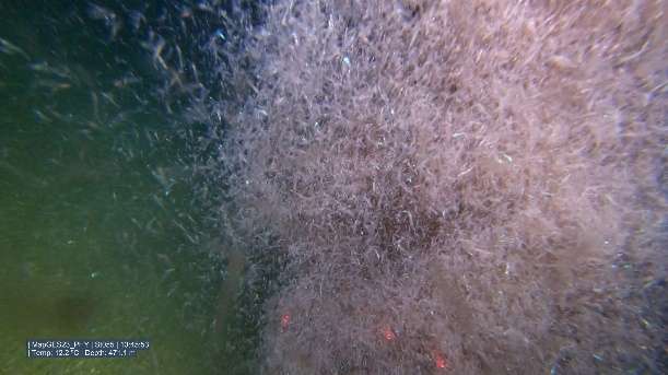
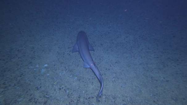
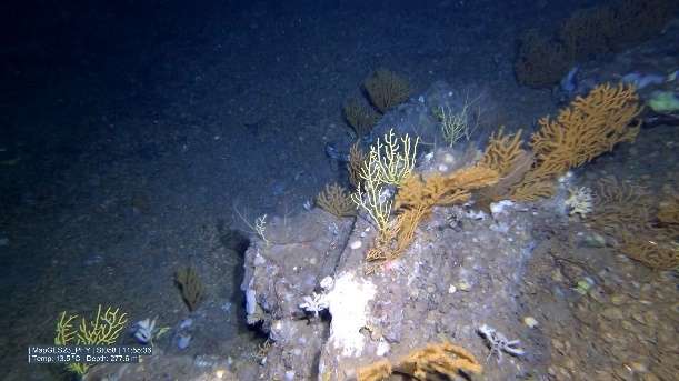
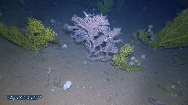
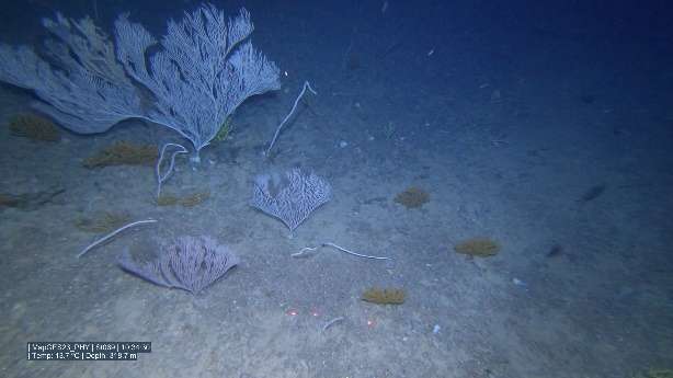
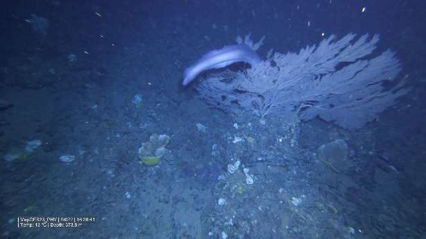
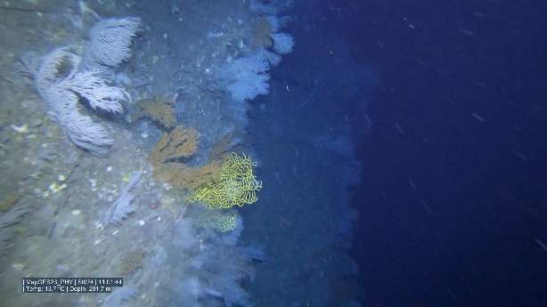
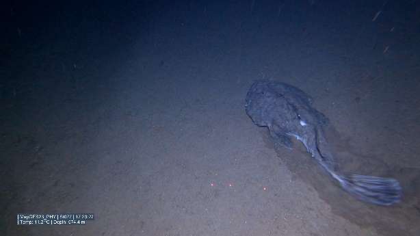
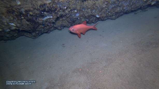
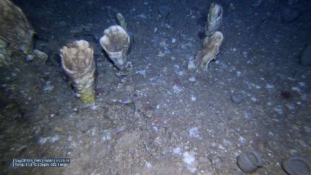
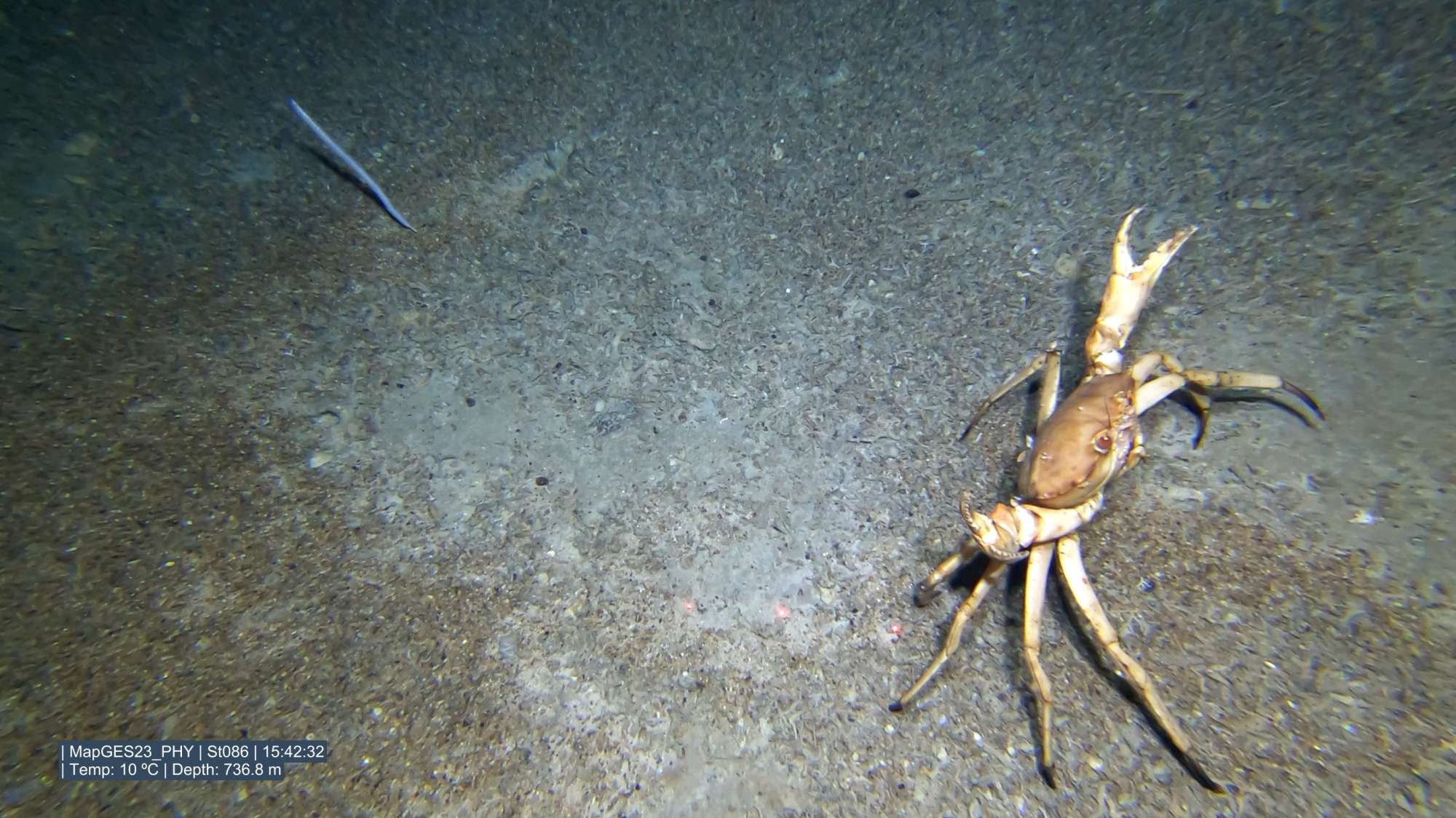
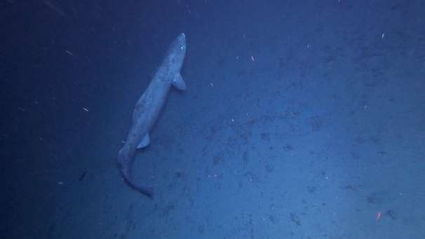
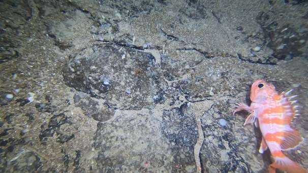
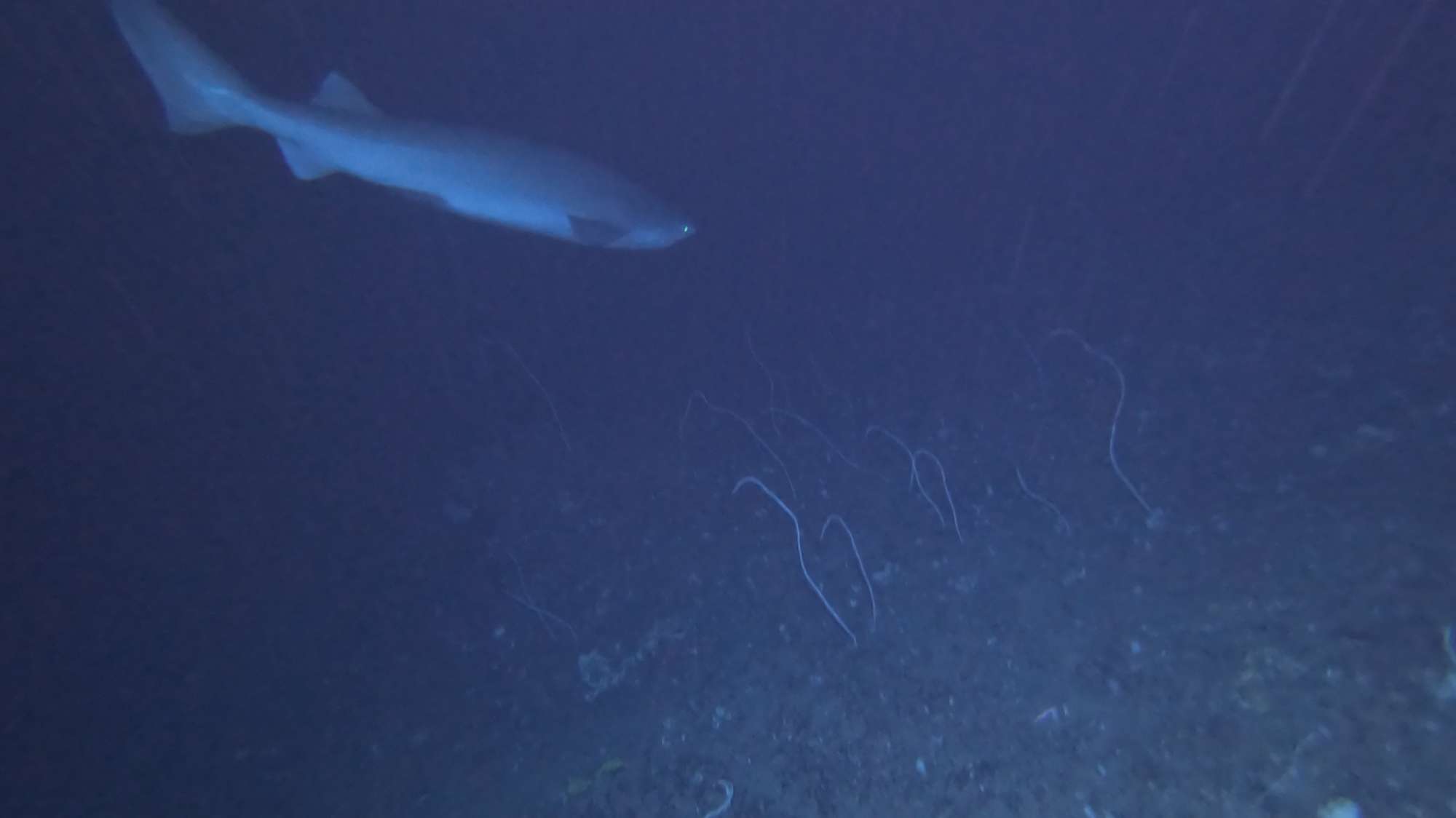
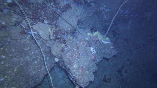
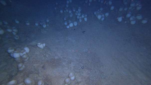
Images


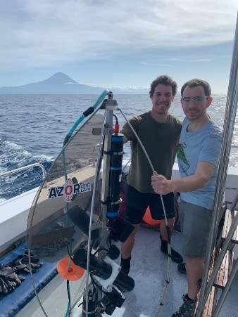

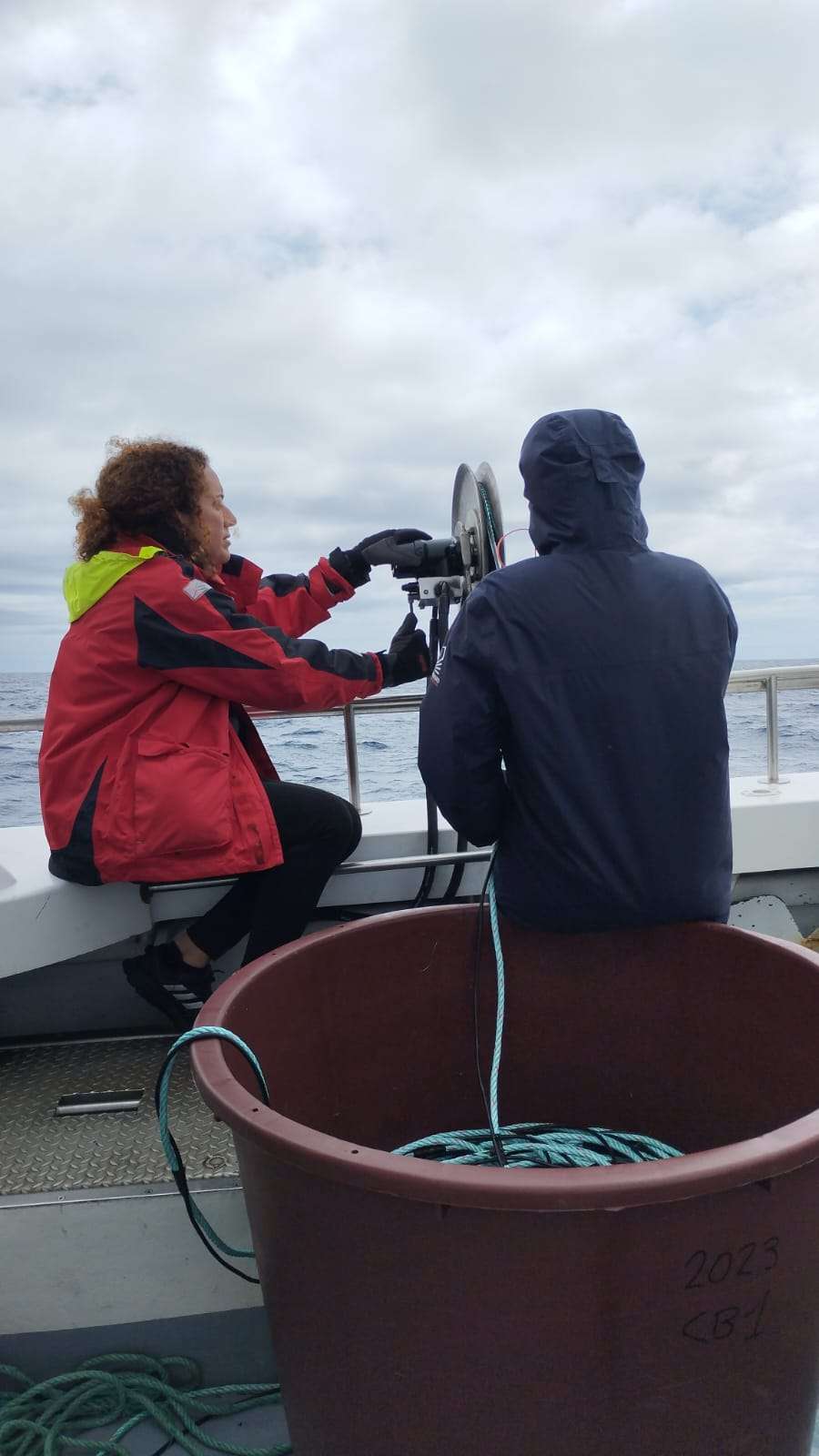


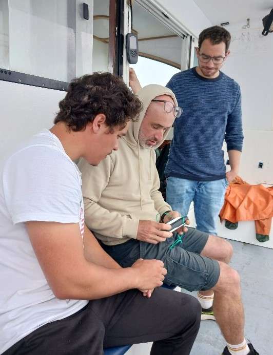


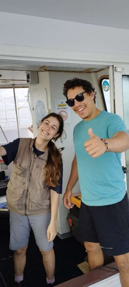

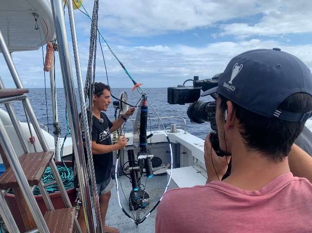


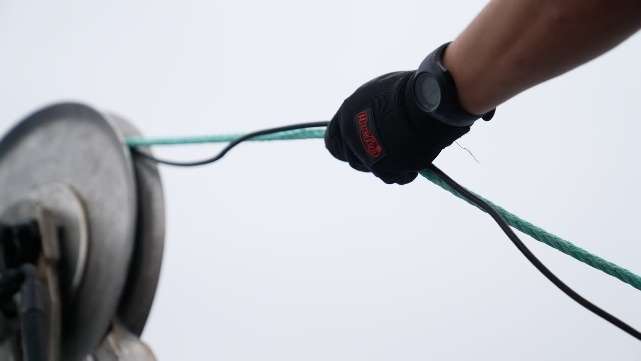
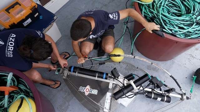
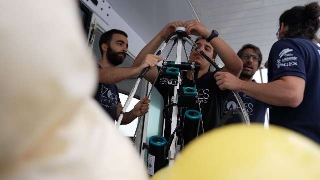
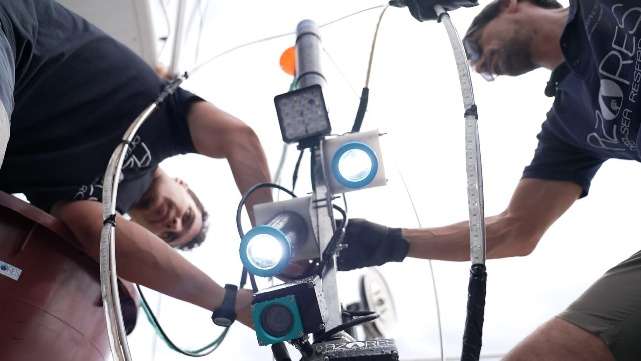
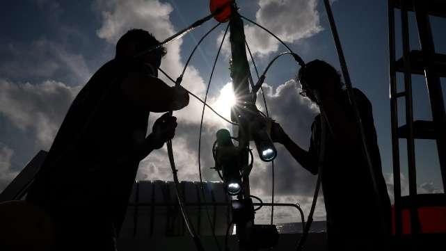


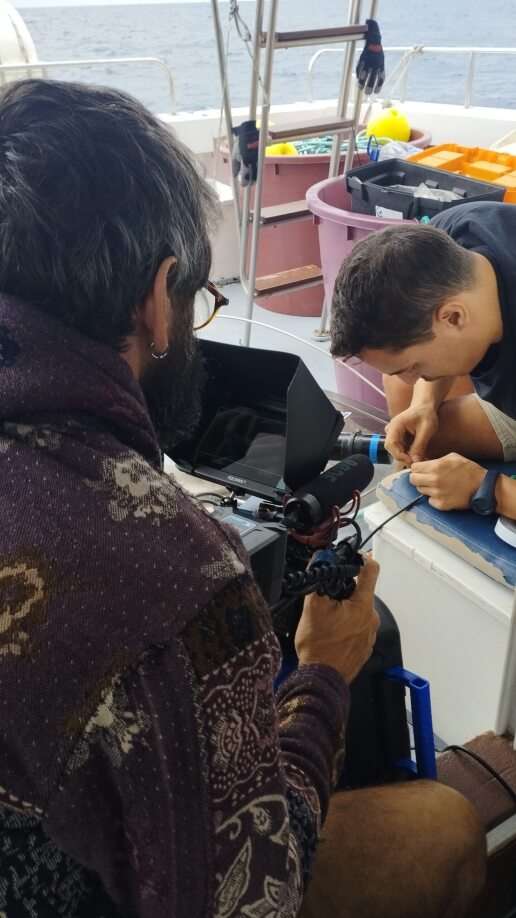
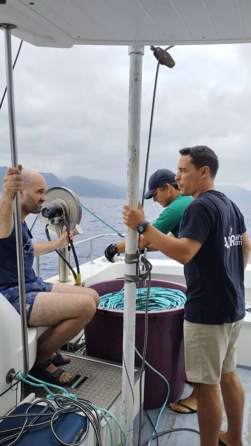
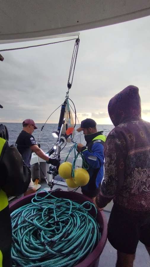
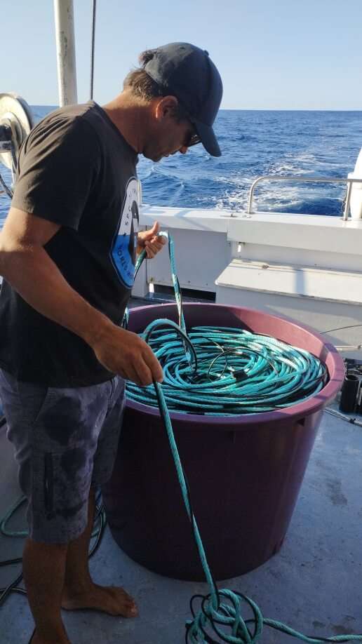

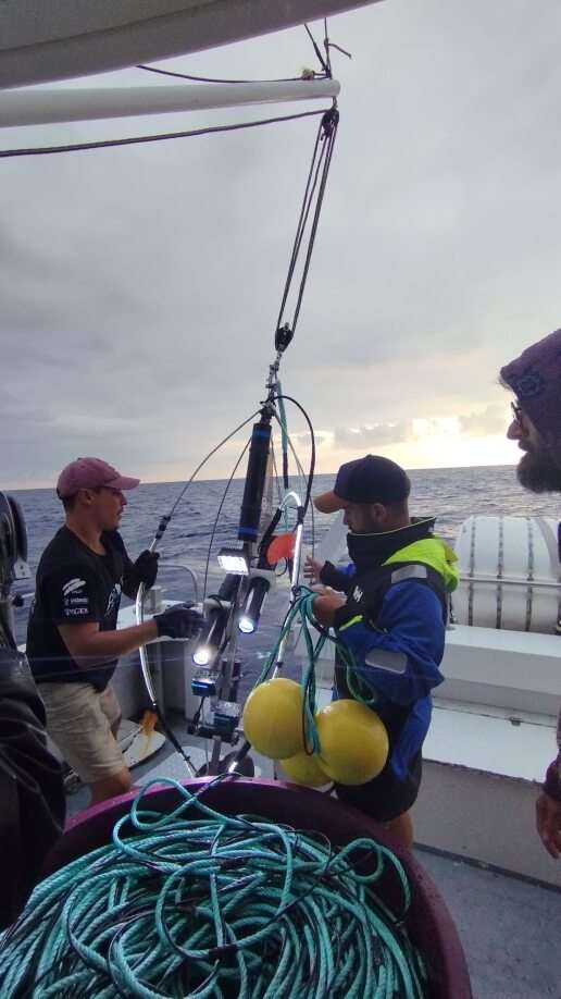
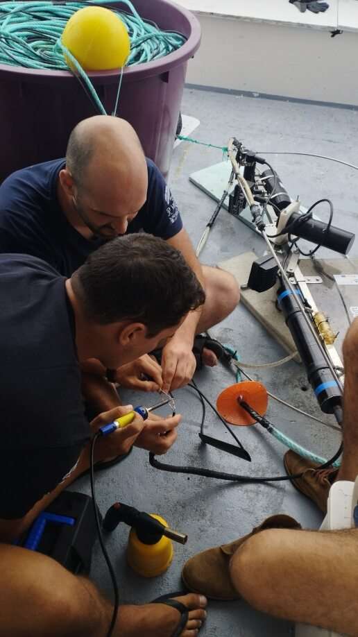


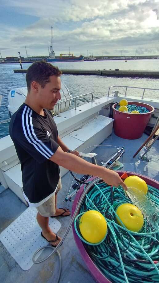
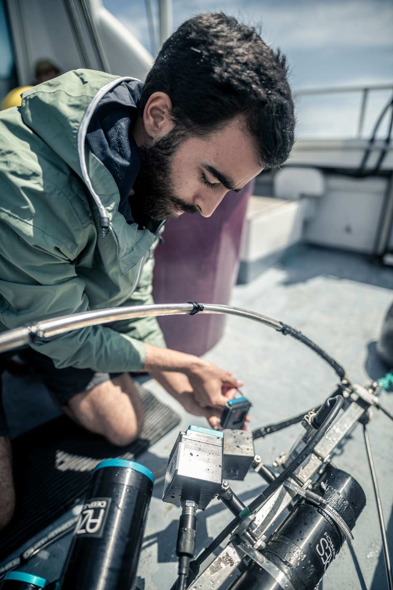

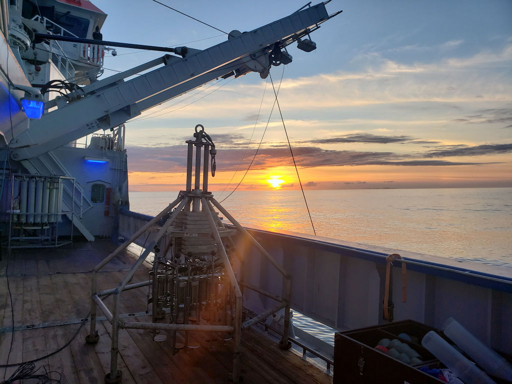
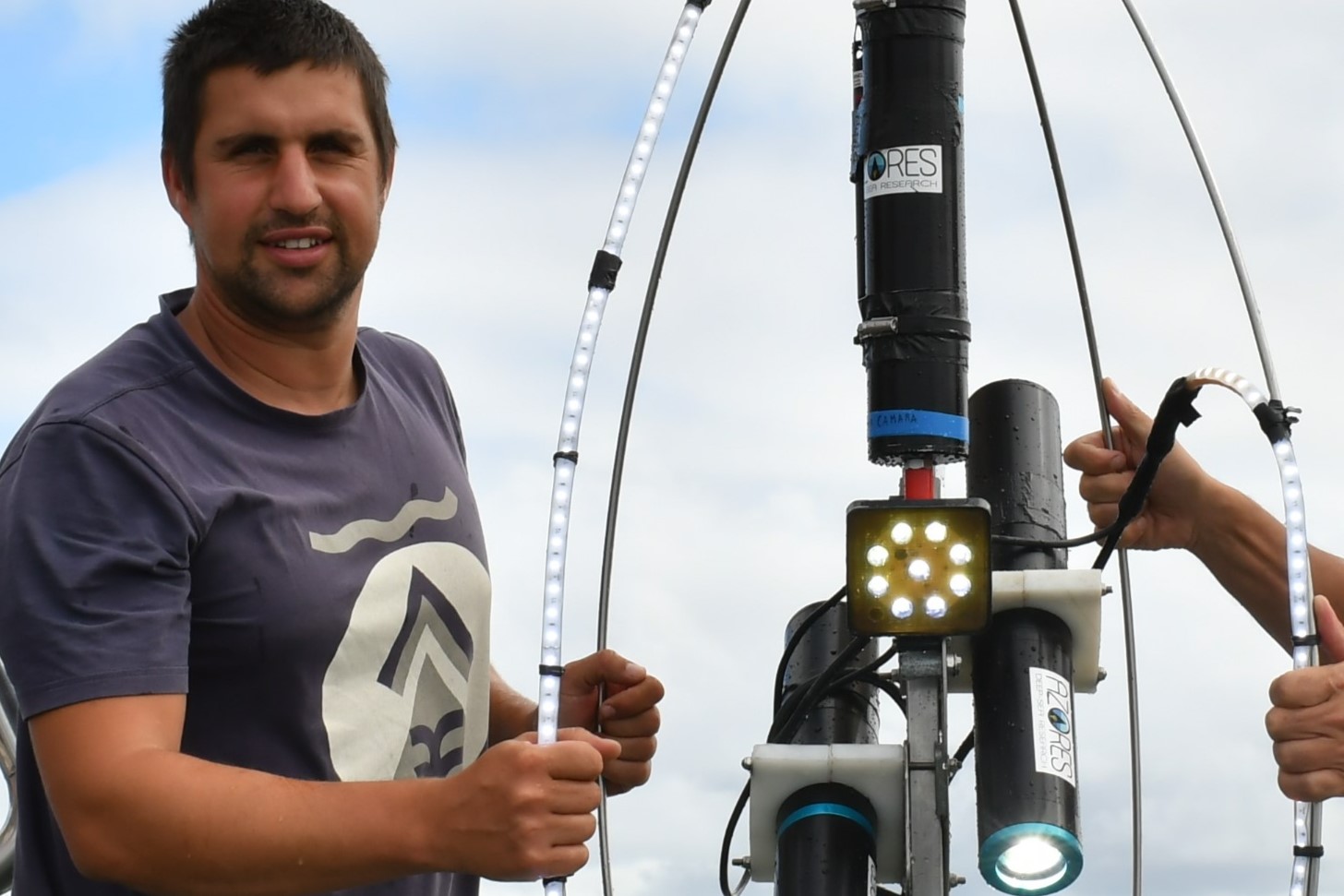
Dives images


Location
Departamento de Oceanografia e Pescas — Universidade dos Açores
Rua Prof. Doutor Frederico Machado, No. 4
9901-862 Horta, Portugal
Contact
Email: azoresdeepsea@gmail.com
AZORES DEEP-SEA RESEARCH © 2020-2026 — RELEASE 2.1
 VALTER MEDEIROS