Loading…
Loading…
BioProtect
Advancing area-based management tools to accelerate the protection and restoration of marine biodiversity across the European sea basins
BioProtect
Loading project…
Advancing area-based management tools to accelerate the protection and restoration of marine biodiversity across the European sea basins
Period: 01 May 2024 to 30 Apr 2028
Funding: 1 source(s)
01 May 2024 to 30 Apr 2028
European Union's Horizon Europe
Budget: 427,000.00 €
Summary
Advancing area-based management tools to accelerate the protection and restoration of marine biodiversity across the European sea basins
Human activities and climate change are exerting increasing pressures that lead to the degradation of ecosystems and the loss of biodiversity, threatening essential goods and services for the planet, human life, and society. The BioProtect project seeks to develop new methodologies and strengthen the capacity to engage stakeholders, with the goal of monitoring and predicting changes in marine biodiversity, mapping human pressures, and assessing the ecological and socio-economic impacts of conservation actions, particularly those related to environmental protection and restoration.
The project’s activities will be demonstrated across five Atlantic sites, ranging from the Arctic to the Azores. The innovative and flexible BioProtect framework will integrate multi-source data across spatial scales tailored to each study region, incorporating diverse stakeholder perspectives and knowledge.
BioProtect will consider different scenarios, including those related to climate change, protection and exploitation strategies, and will evaluate their ecological and socio-economic impacts. The project seeks to collaborate closely with society and stakeholders, from ocean users to natural resource managers and policymakers. This will enable the effective implementation and adoption of the proposed solutions aimed at protecting and restoring marine ecosystems and biodiversity.
BioProtect has a total budget of €8 million, is coordinated by the Icelandic public research and development company Matís, and involves 18 partner institutions from 8 countries, including 5 Portuguese institutions.
BioProtect will provide innovative, replicable and scalable ecosystem-based solutions that will accelerate the protection and restoration of biodiversity in European seas, in line with the EU´s 2030 targets and the European Green Deal. Pressures from multiple human activities and climate change are driving ecosystem degradation and biodiversity loss, threatening goods and services that are essential for human life and society. BioProtect aims to reduce these pressures by implementing an innovative area-based management decision support framework.
Our Team's role
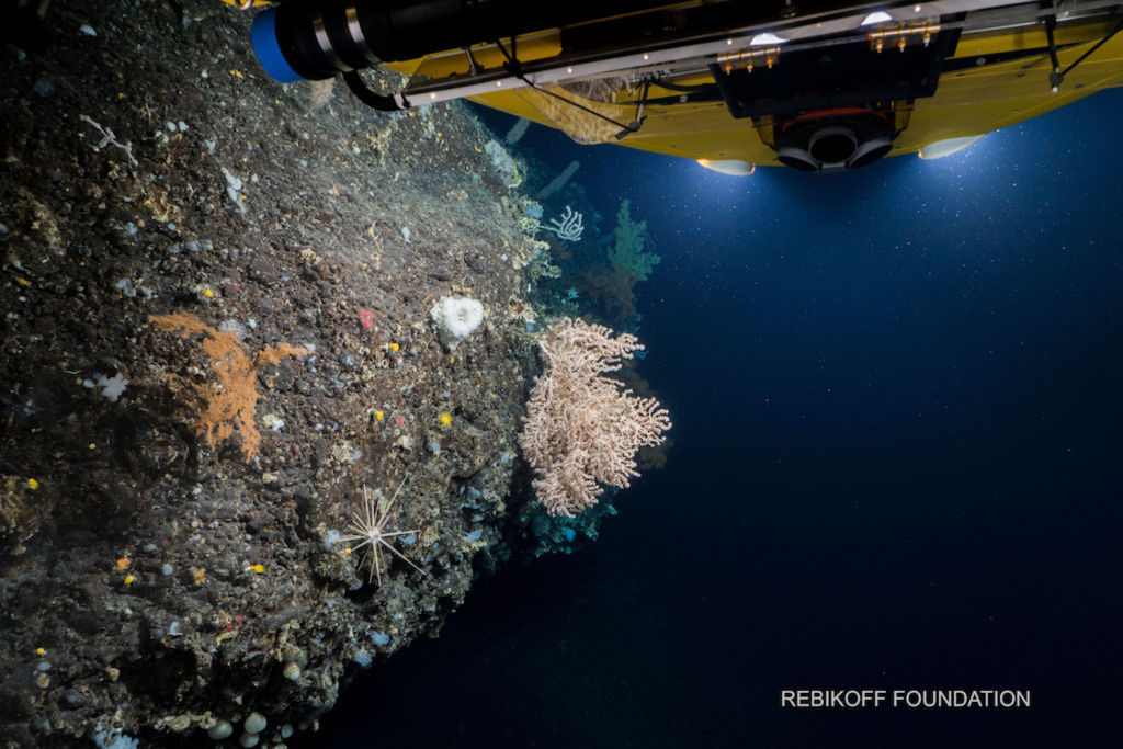
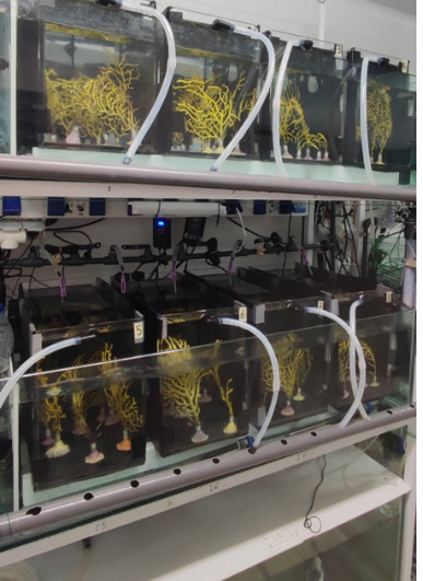
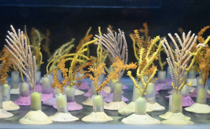
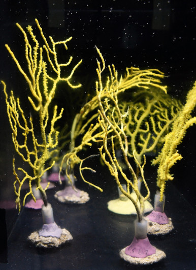
OKEANOS-UAc leads the Demonstration Site of the Azores, with involvement in all work packages (WP) of the project. Particularly, our work is relevant for WP3 ‘Advanced strategies to map, monitor and forecast marine biodiversity’, WP4 ‘Addressing pressures from human activities on marine biodiversity‘, and WP5 ‘Multi-scale ecosystem-based conservation and restoration planning’. Specifically, the OKEANOS-UAc/IMAR team focuses on the following tasks: a) conducting multi-stressor experiments on deep-sea octocorals to assess the cumulative impacts of climate change (warming, acidification, and ocean deoxygenation) and human activities (simulated fishing gear injuries; macro- and microplastics); b) determining the physiological performance of deep-sea octocorals affected by stressors resulting from different climate scenarios (e.g., the IPCC-defined SSPs) and direct human pressures, integrated into hybrid distribution models of these vulnerable species; c) identifying priority areas for conservation based on their potential resilience under different distribution scenarios and rates of change of climate stress indicators (climate refuge areas).
Marina Carreiro-Silva
Partner coordinator
Filipe M. Porteiro
Scientist
Inês Martins
Scientist
Teresa Cerqueira
Scientist

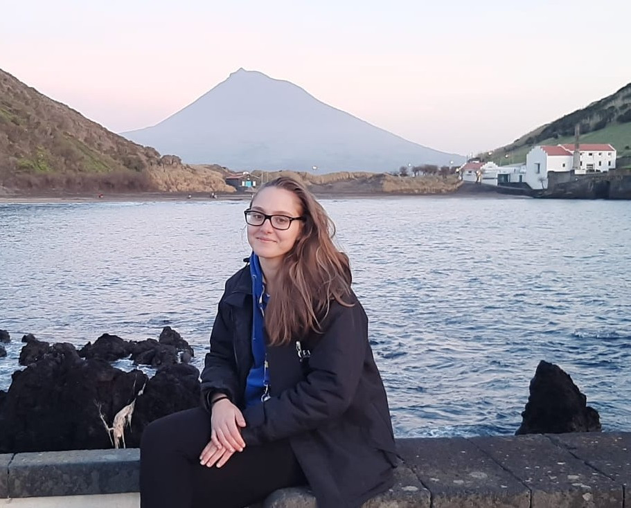
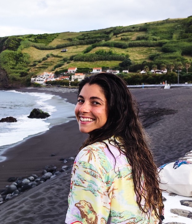
Yasmina Rodríguez
Early-career researcher
António Godinho
Research Assistant
Beatriz Arzeni
Research Assistant

Emily Corrigan
Research Assistant
Anaïs Sire De Vilar
PhD Student
Gal·la Edery
PhD Student
Collaborators
Main results
Key activities to date:
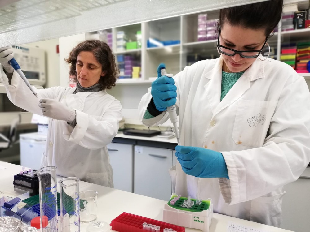
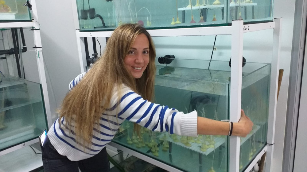
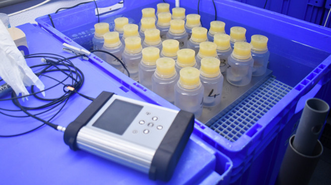
We have been working on ex-situ exposure experiments to measure effects of IPCC projected changes in temperature on key octocoral species in the Azores, namely Dentomuricea aff. meteor, Acanthogorgia armata.
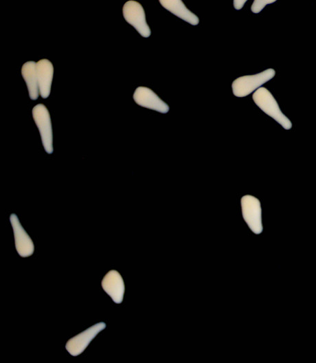
PhD student Anais Sire de Vilar performed aquaria experiments that investigated how ocean warming affects the early life stages of the octocorals Dentomuricea aff. meteor and Viminella flagellum, focusing on spawning time, embryonic development, larval swimming, settlement, polyp formation, and survival
BioProtect Gallery


Location
Departamento de Oceanografia e Pescas — Universidade dos Açores
Rua Prof. Doutor Frederico Machado, No. 4
9901-862 Horta, Portugal
Contact
Email: azoresdeepsea@gmail.com
AZORES DEEP-SEA RESEARCH © 2020-2026 — RELEASE 2.1
 VALTER MEDEIROS