AZORES
DEEP-SEA RESEARCH © CRUISES
Stations
MapGES 2020
Loading…
MapGES 2020
Mapping deep-sea biodiversity and “Good Environmental Status” in the Azores
MapGES 2020
Loading cruise data…
Mapping deep-sea biodiversity and “Good Environmental Status” in the Azores
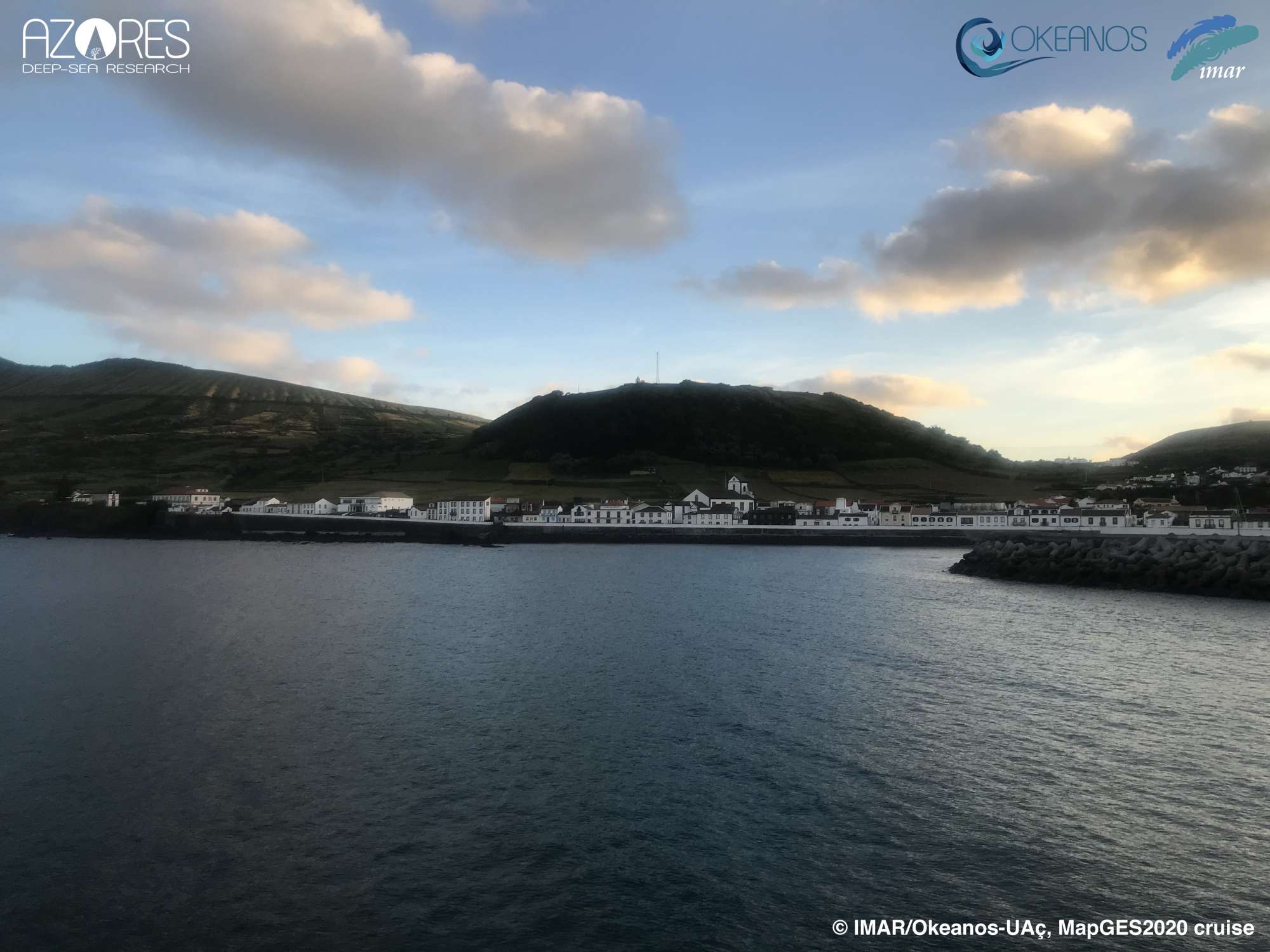
Location: Graciosa, Terceira and south Faial (Central Azores EEZ)
Year: 2020
99 stations
99 dives
1380 km transits
8 areas visited
Summary
Mapping deep-sea biodiversity and “Good Environmental Status” in the Azores
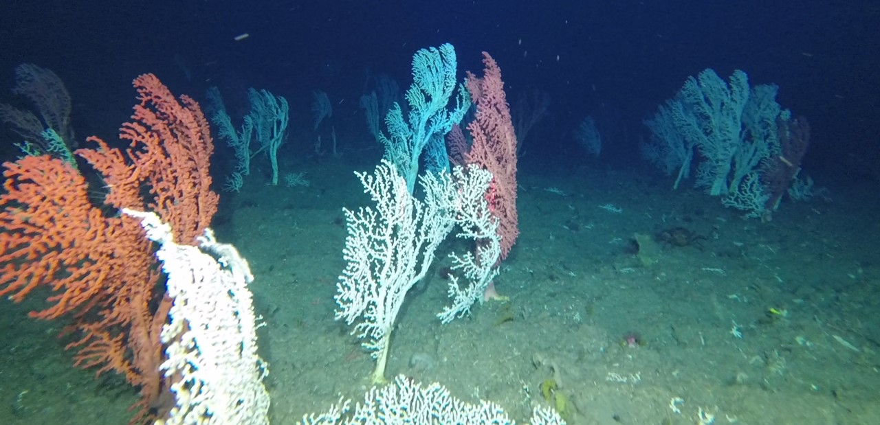
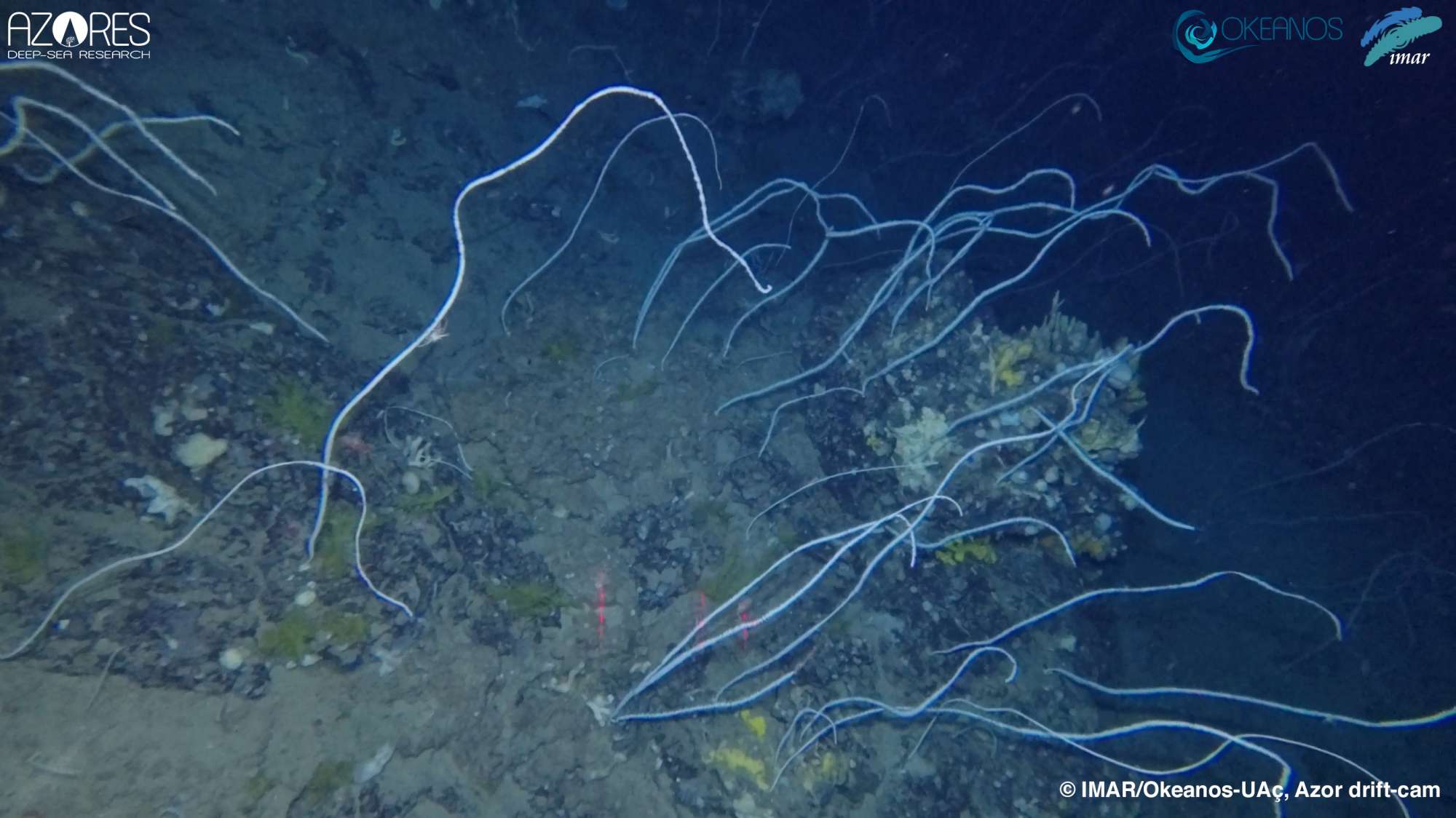
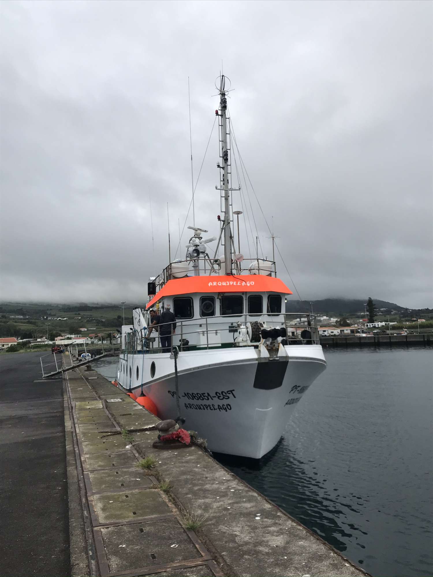
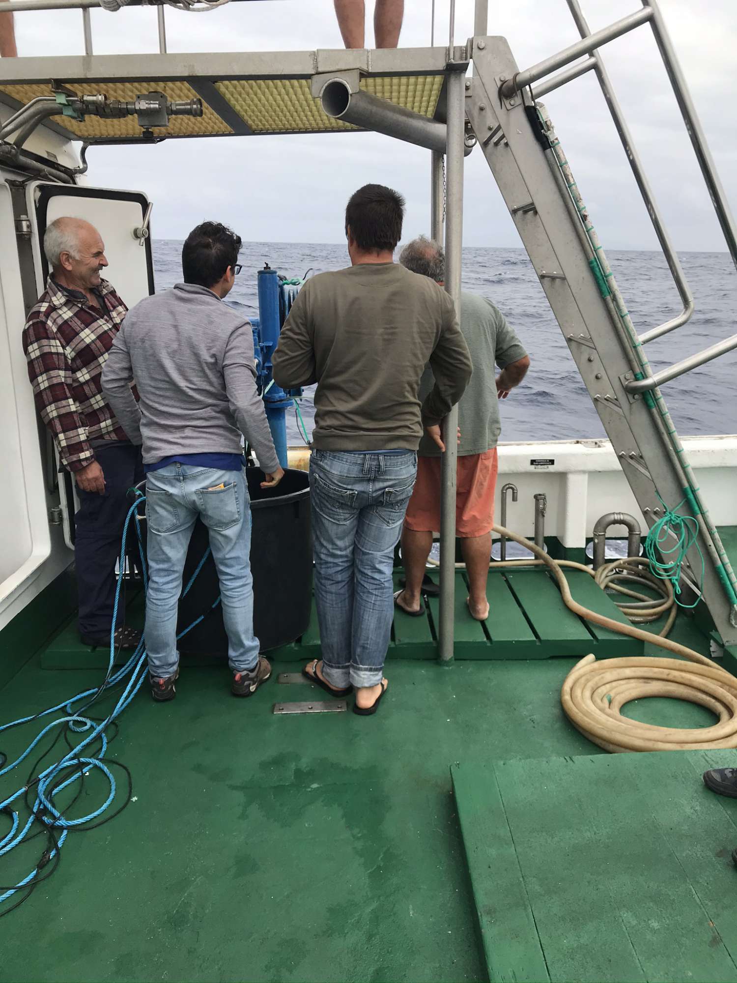
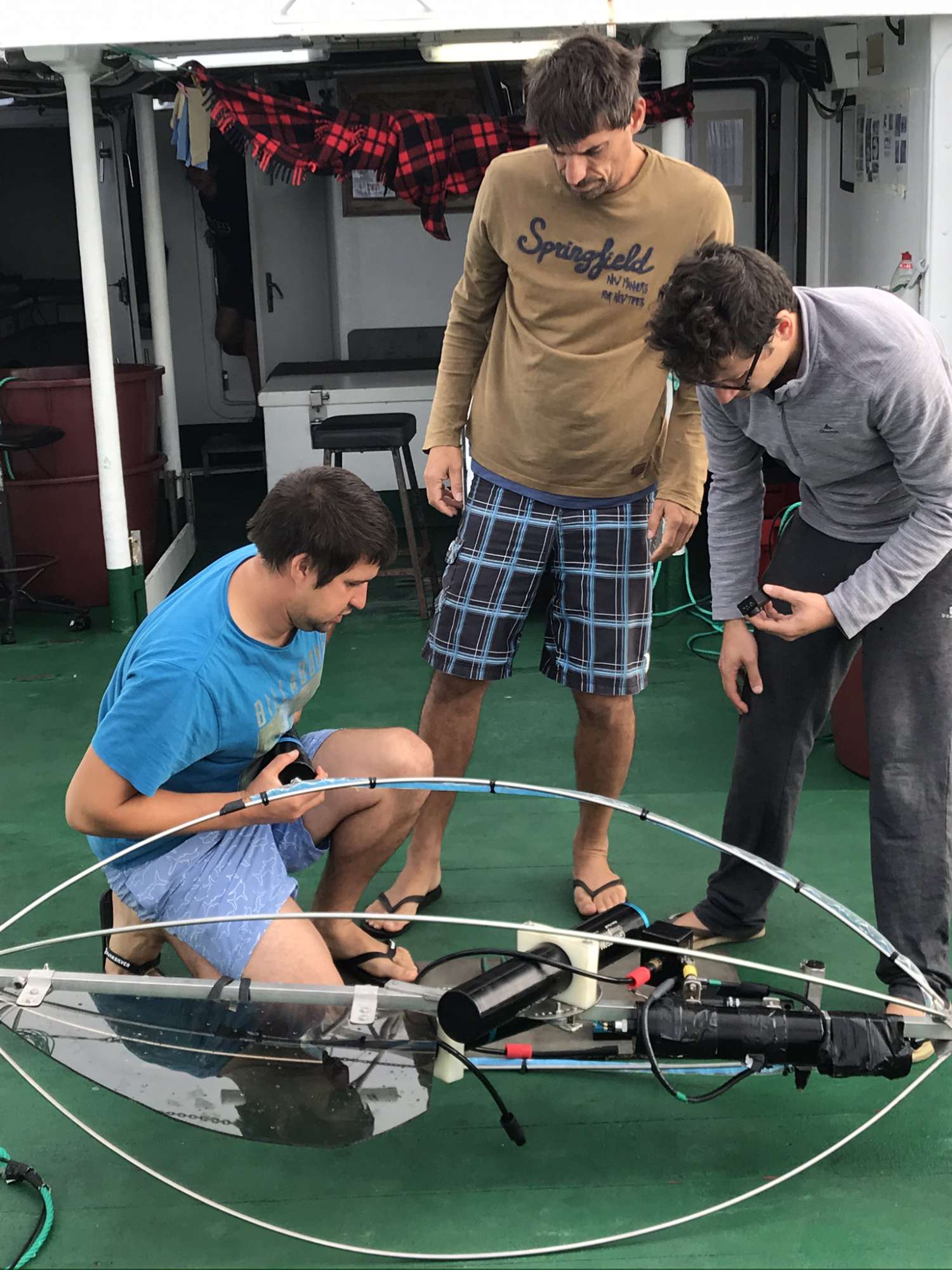
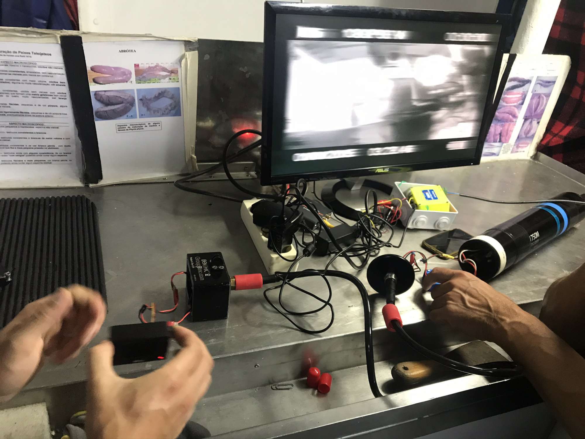
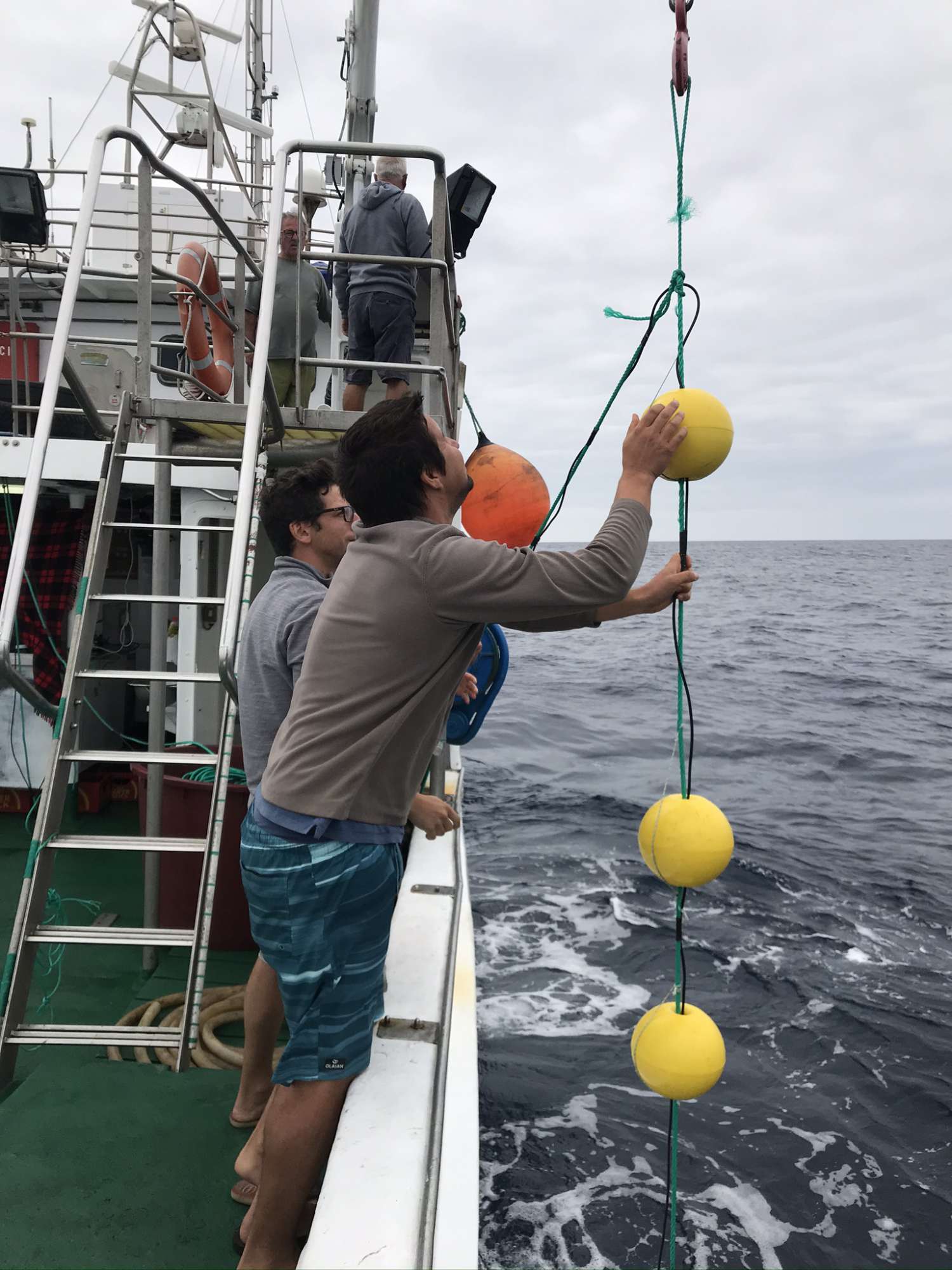
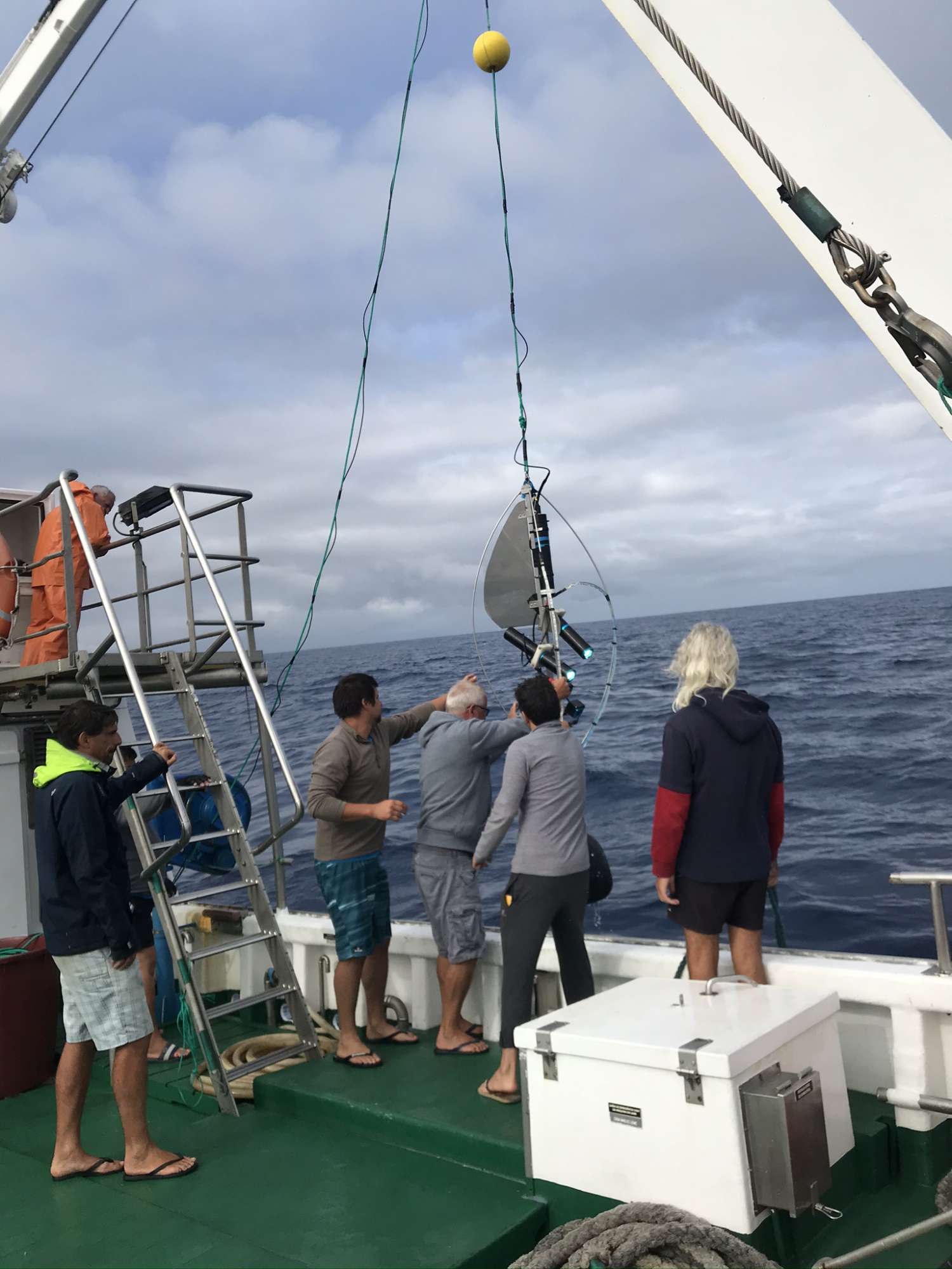
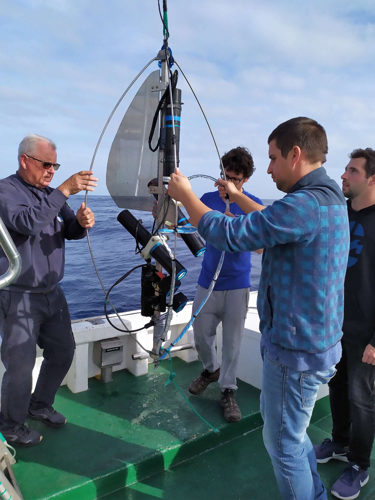
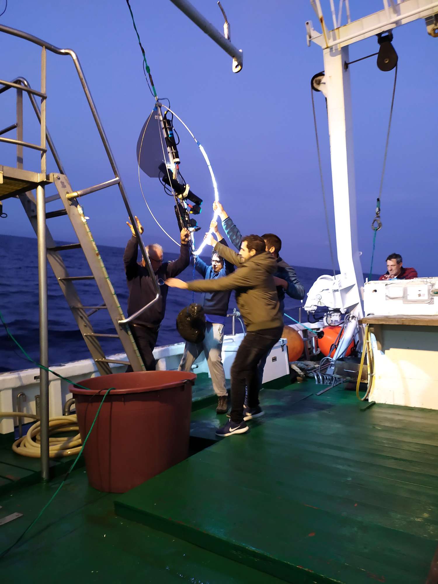
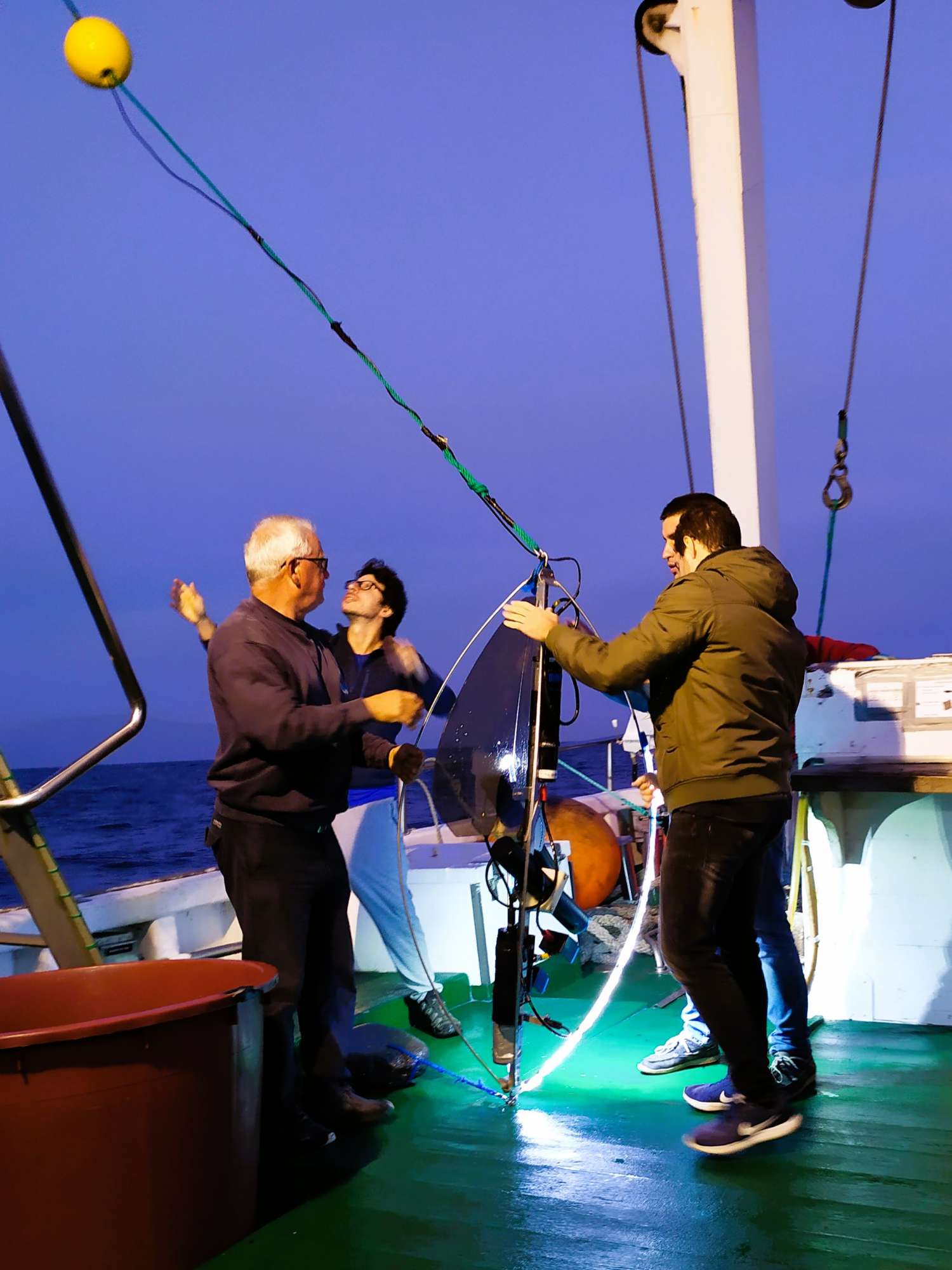
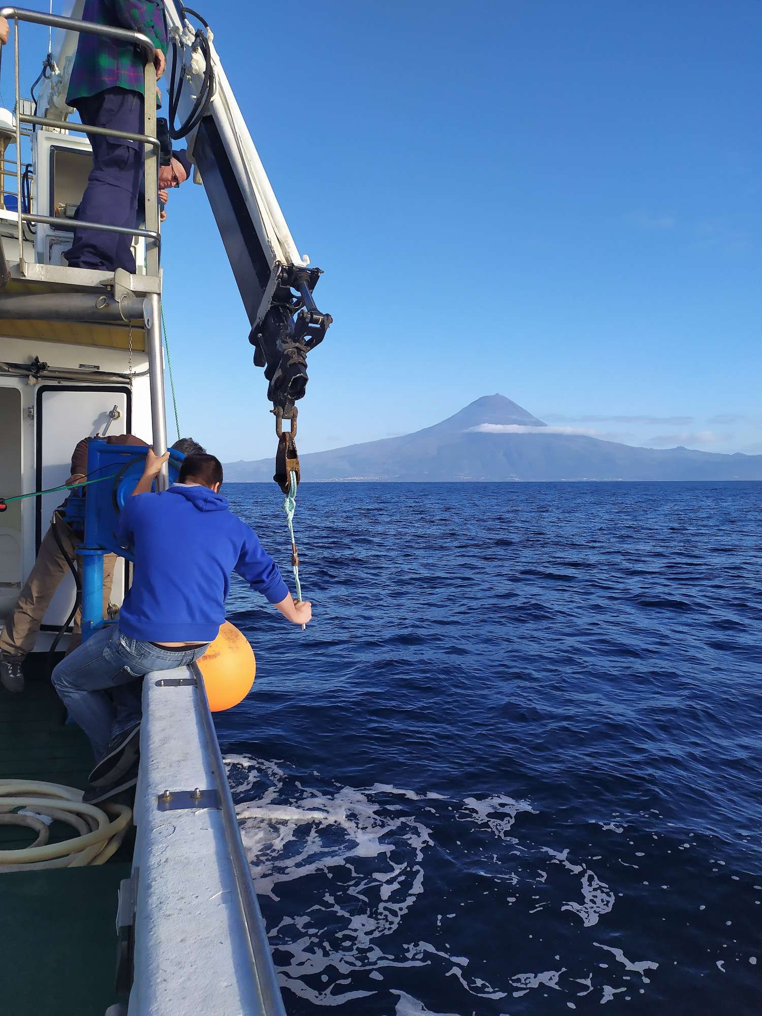
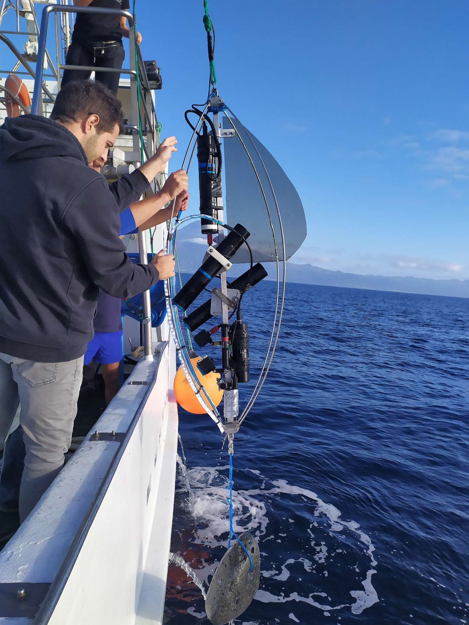
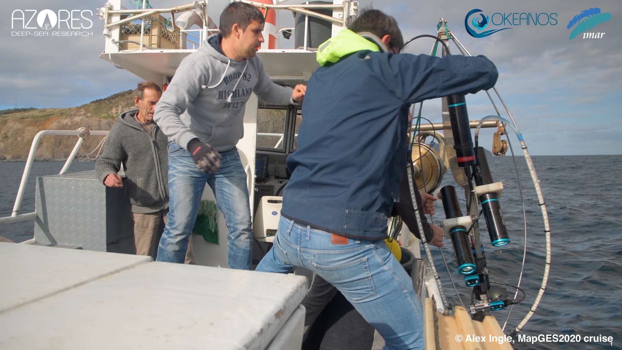
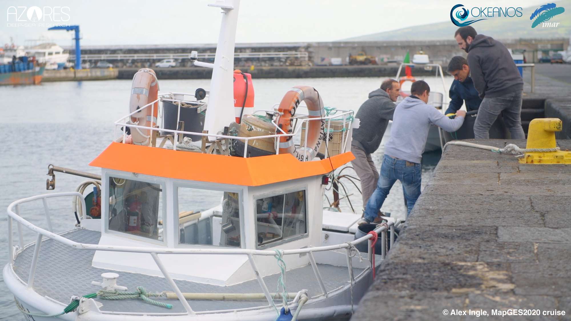
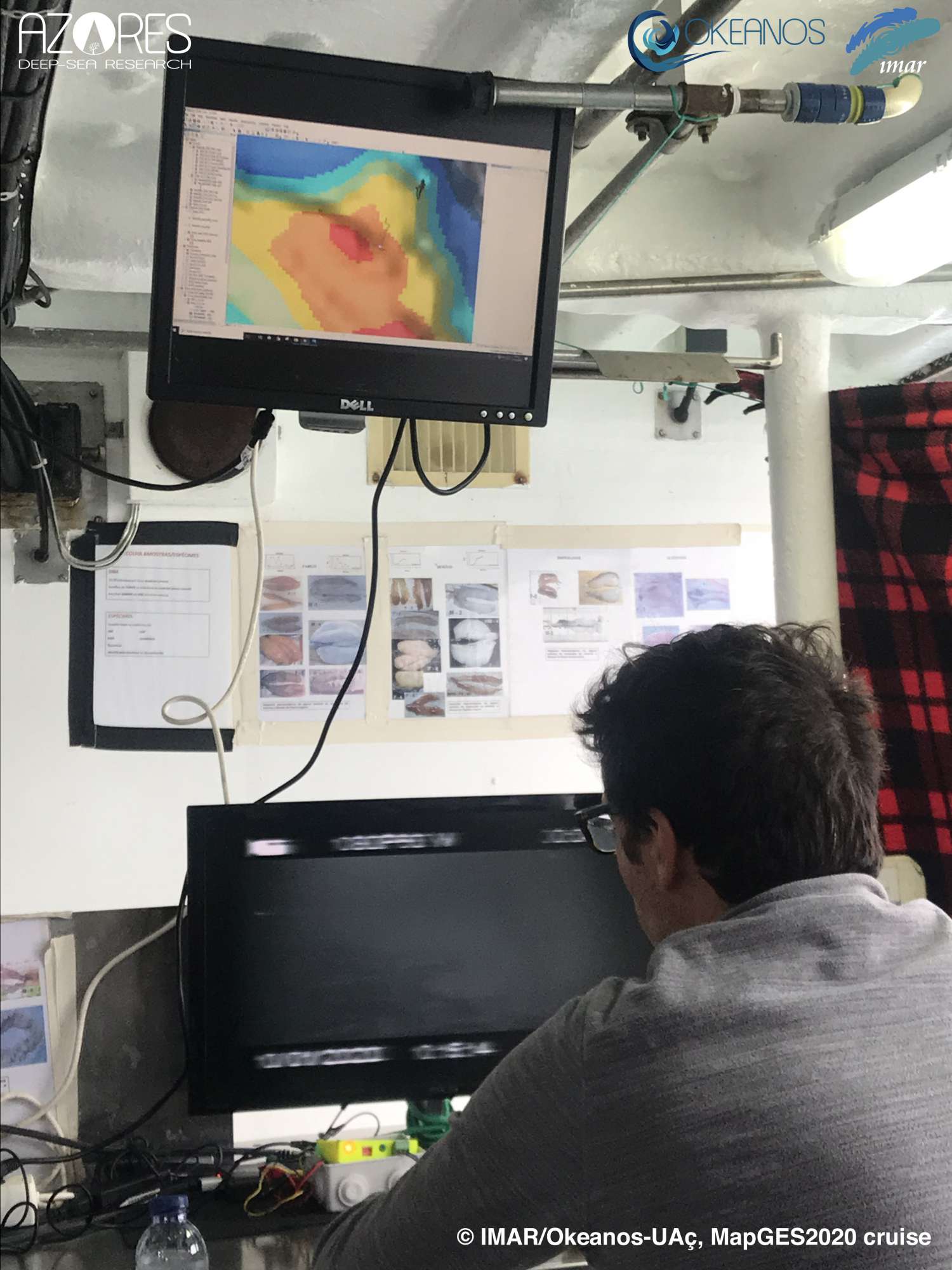
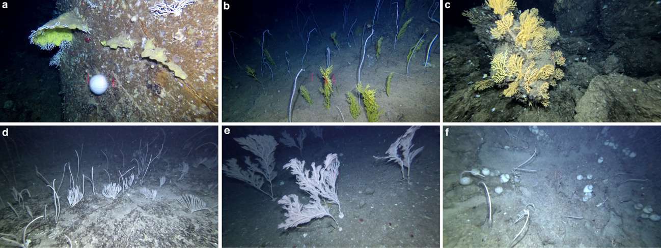
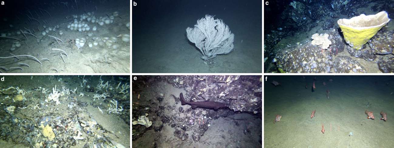
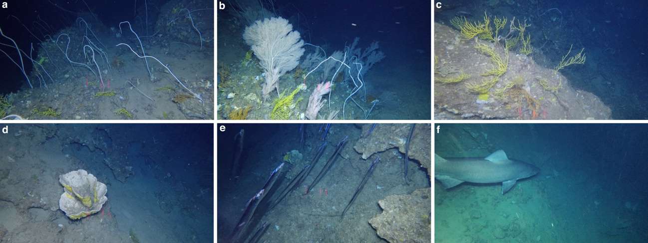
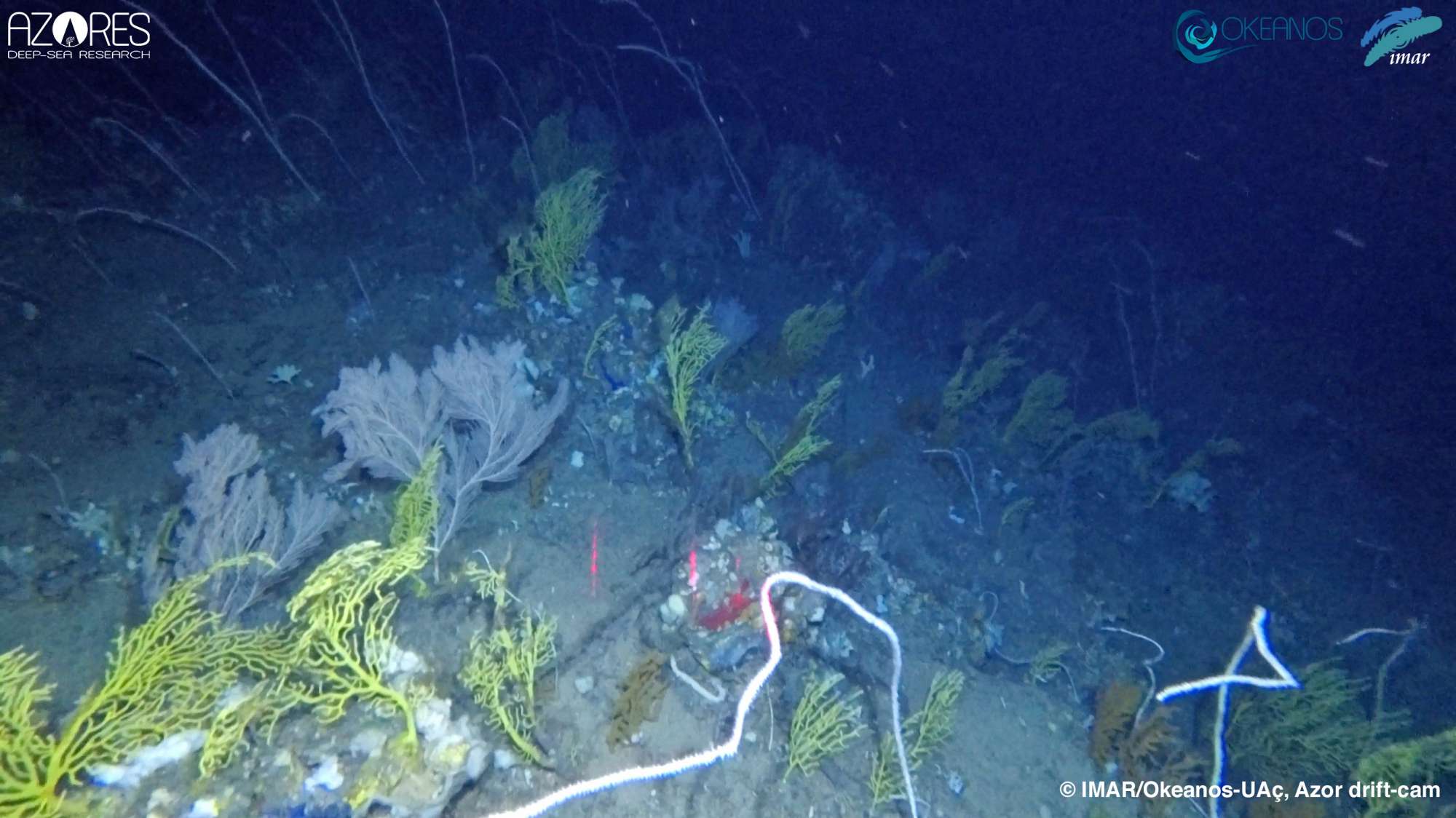
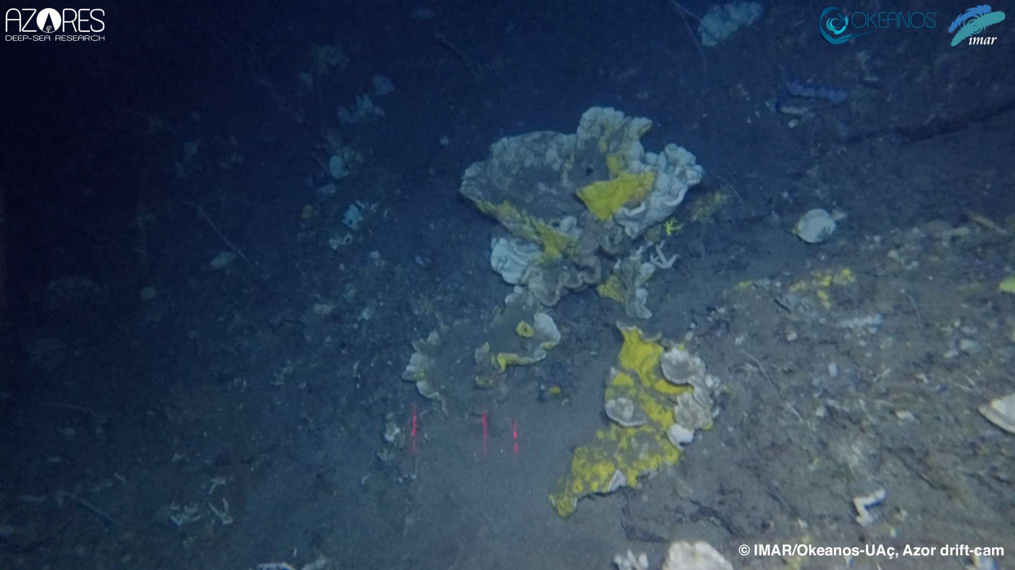
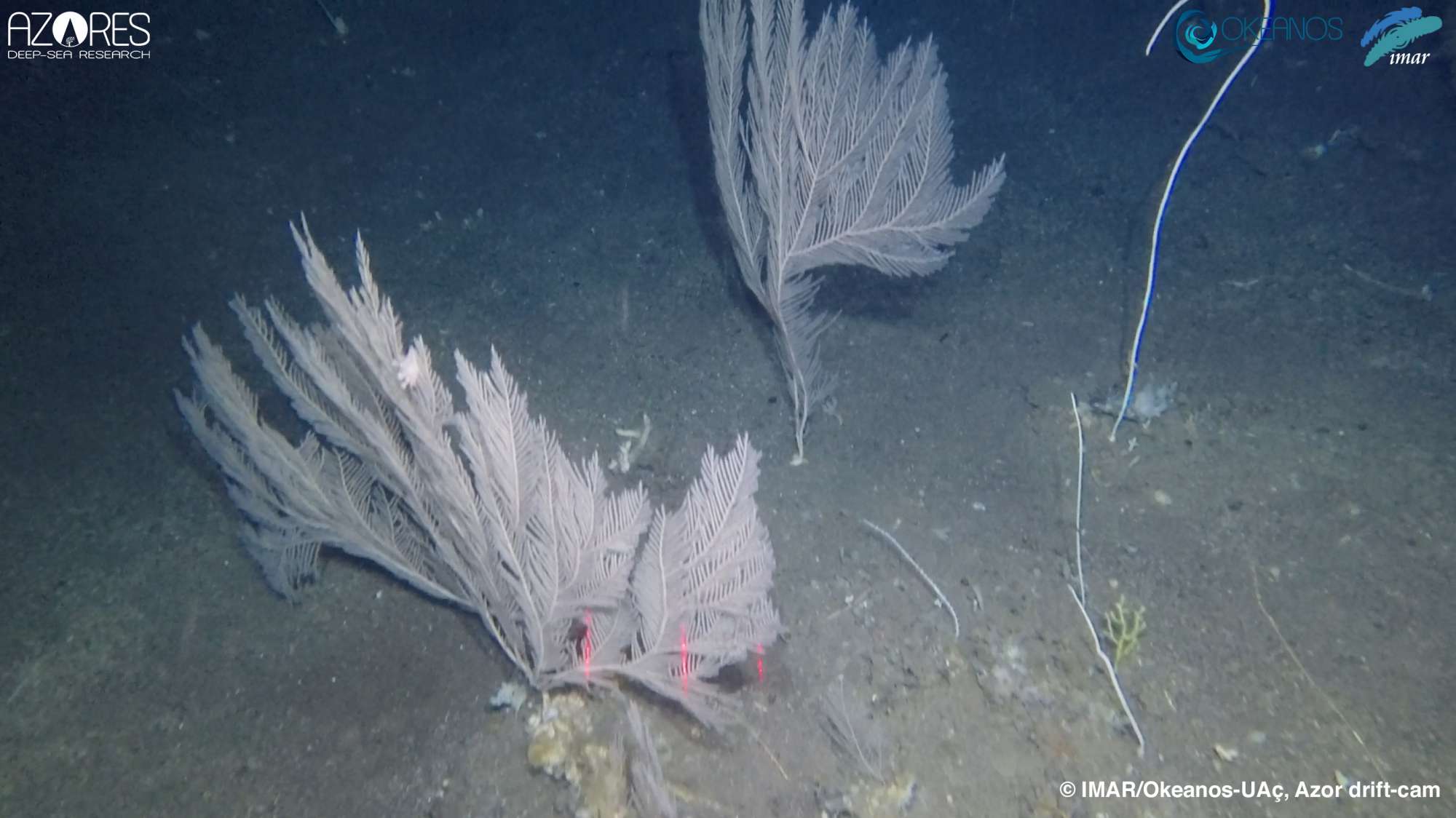
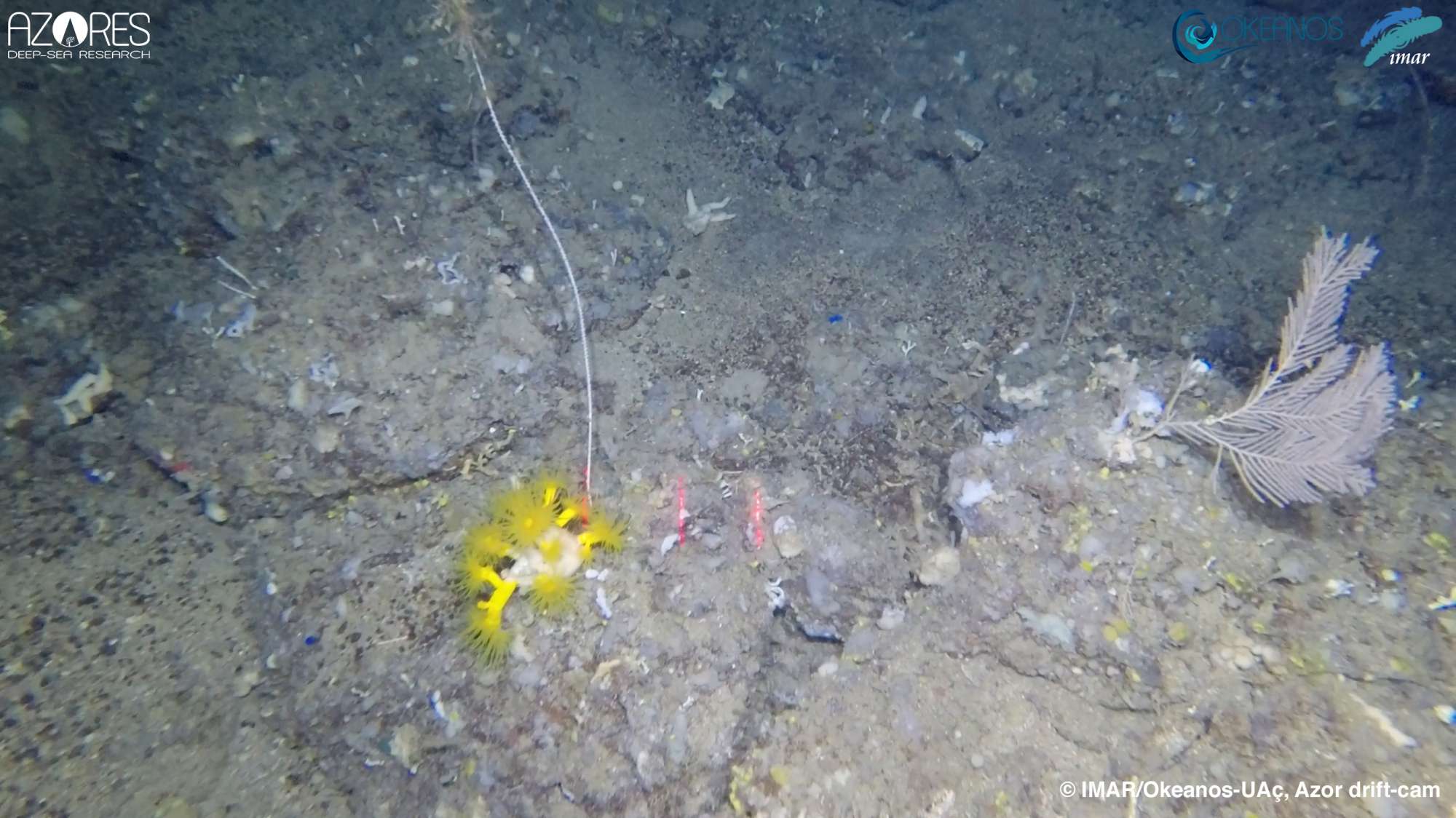
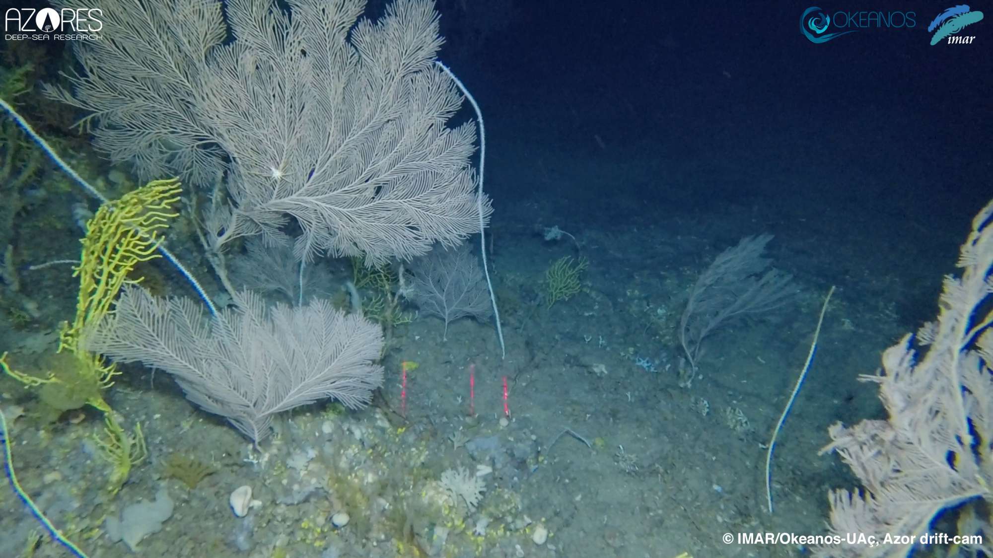
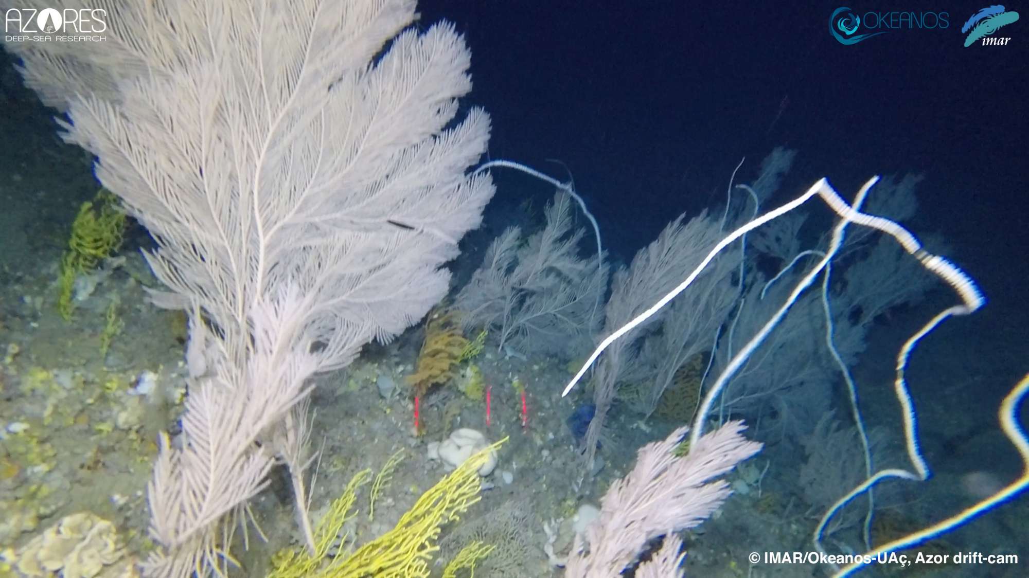
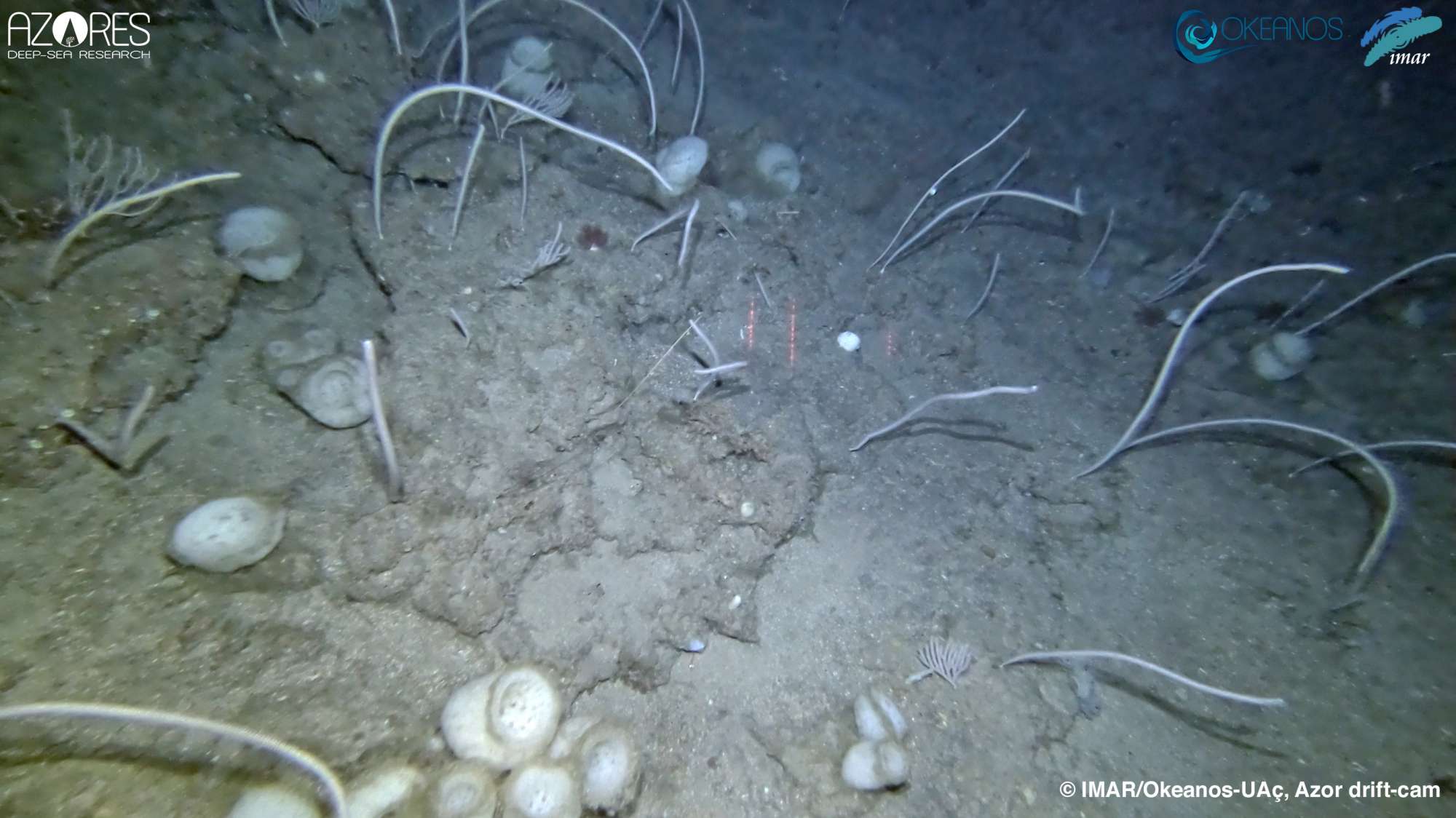
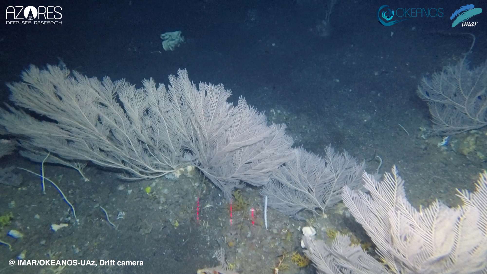
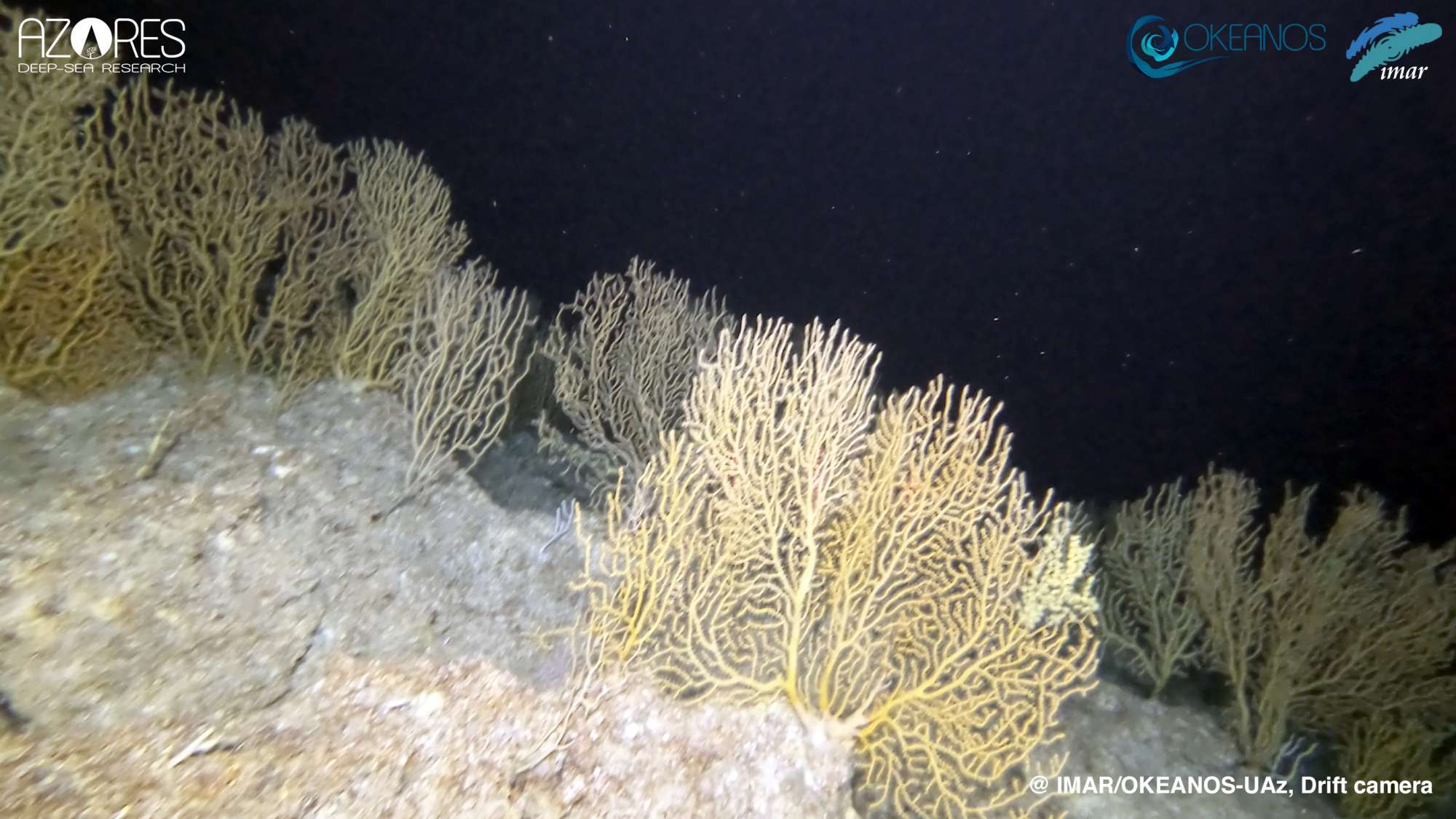
The MapGES 2020 survey was divided into 3 different legs, which were planned to explore different areas of the Azores archipelago around the central group of islands. Overall, 99 dives were accomplished in 8 different underwater features, which included 6 shallow seamounts and 2 island slopes. Leg 1 aimed to survey the slopes and small seamounts around the island of Graciosa and Ilha Azul seamount. This was the first time that the whole Azor drift-cam system was moved between islands using a regular ferry line and also the first full survey on board a local fishing vessel. 32 dives were successfully completed on the slopes of Graciosa and 4 dives in Ilha Azul seamount, covering more than 17 km of the seabed. Leg 2 also aimed to survey deep-sea areas on the northern side of the central group. After 7 days of work on board the RV Arquipélago, 5 different seamounts were explored (Ilha Azul, Mar da Fortuna, Serreta and João Leonardes seamounts), as well as the slopes on the western side of Terceira Island, popularly named Serreta. Thirty-seven dives were accomplished, covering more than 20 linear km of seabed. In leg 3, we explored two underwater features south of Faial and Pico Islands. 26 dives were accomplished, 13 in Condor de Fora and 13 in Baixo de São Mateus seamounts, adding an extra 13.3 km of seabed surveyed.
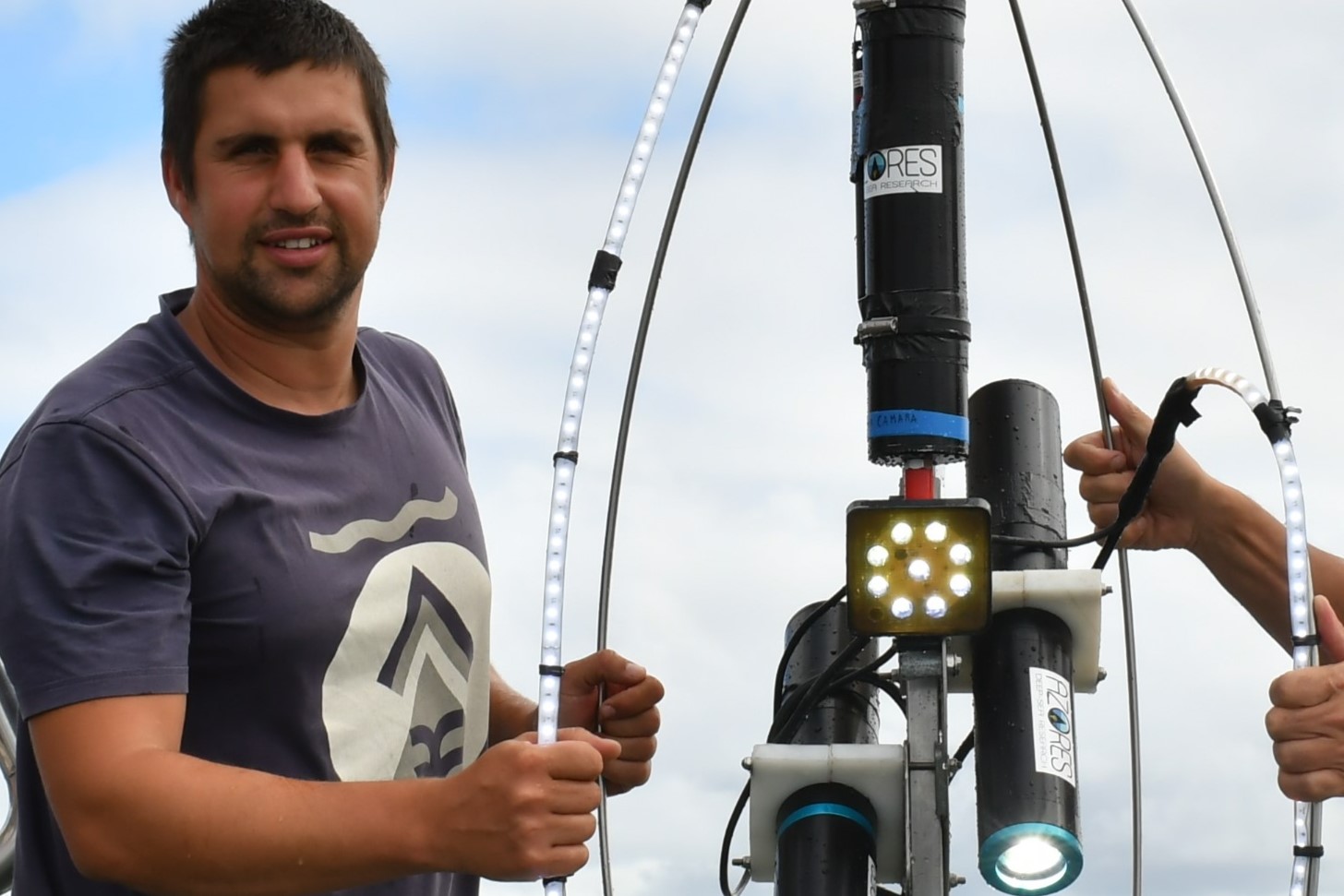
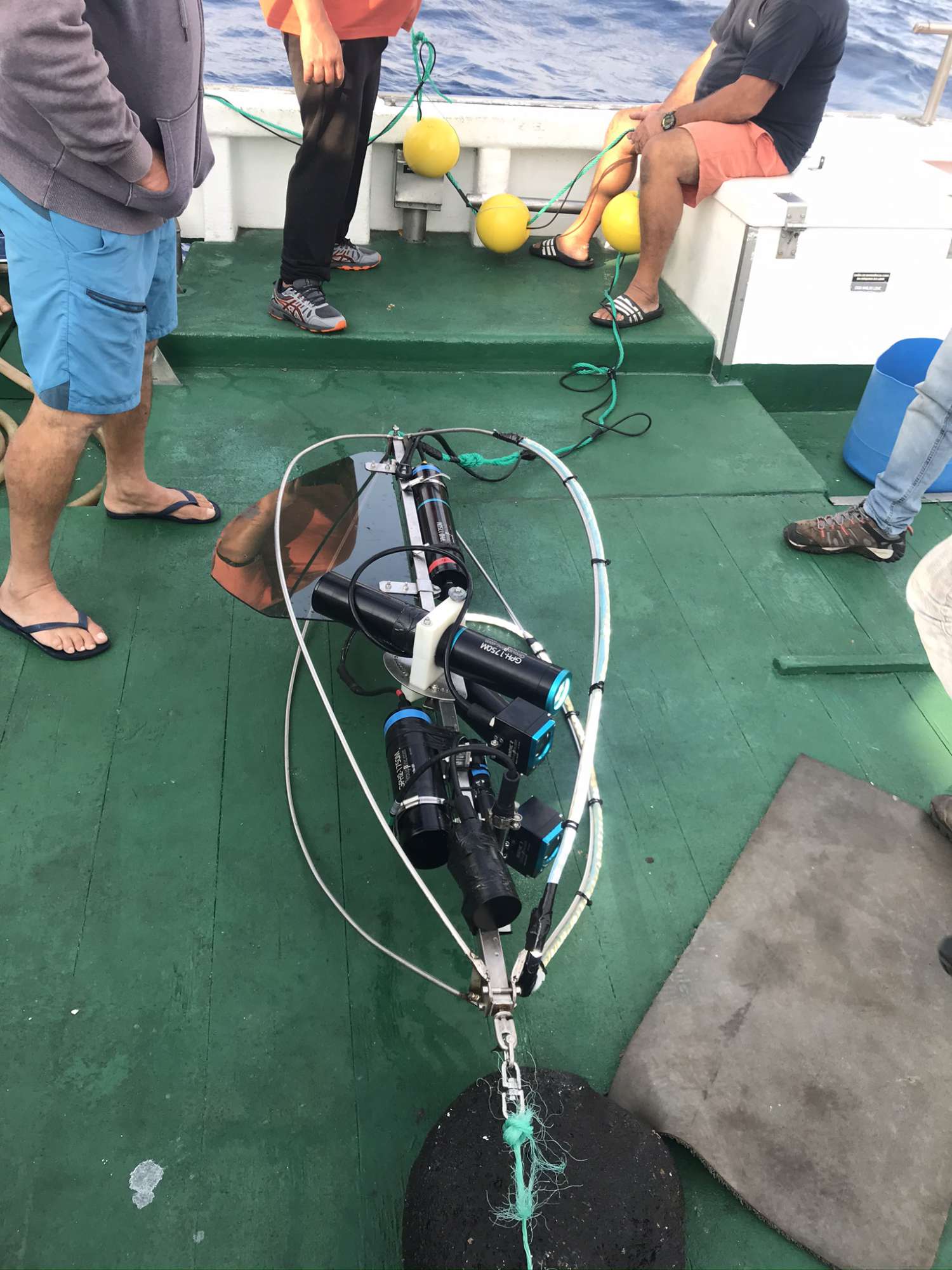
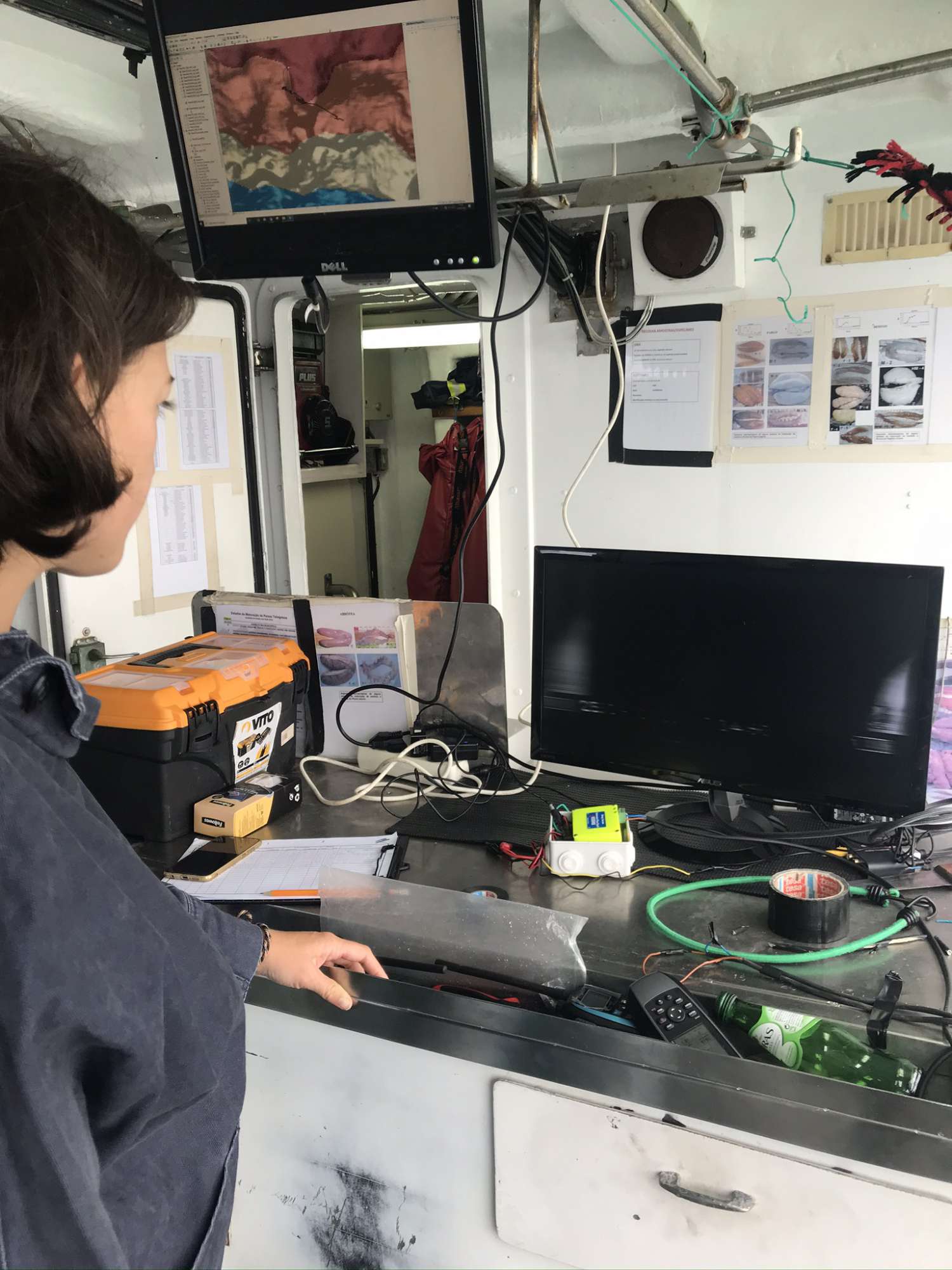
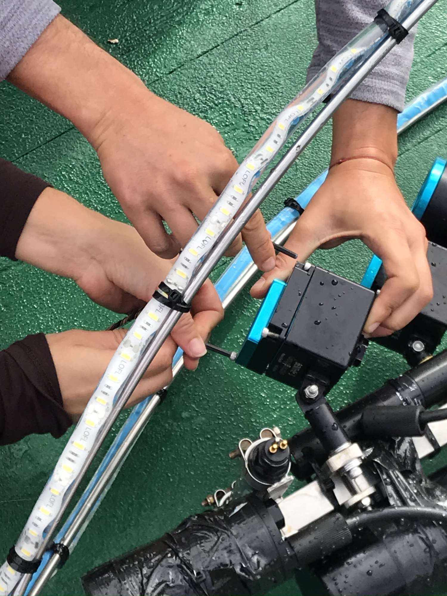
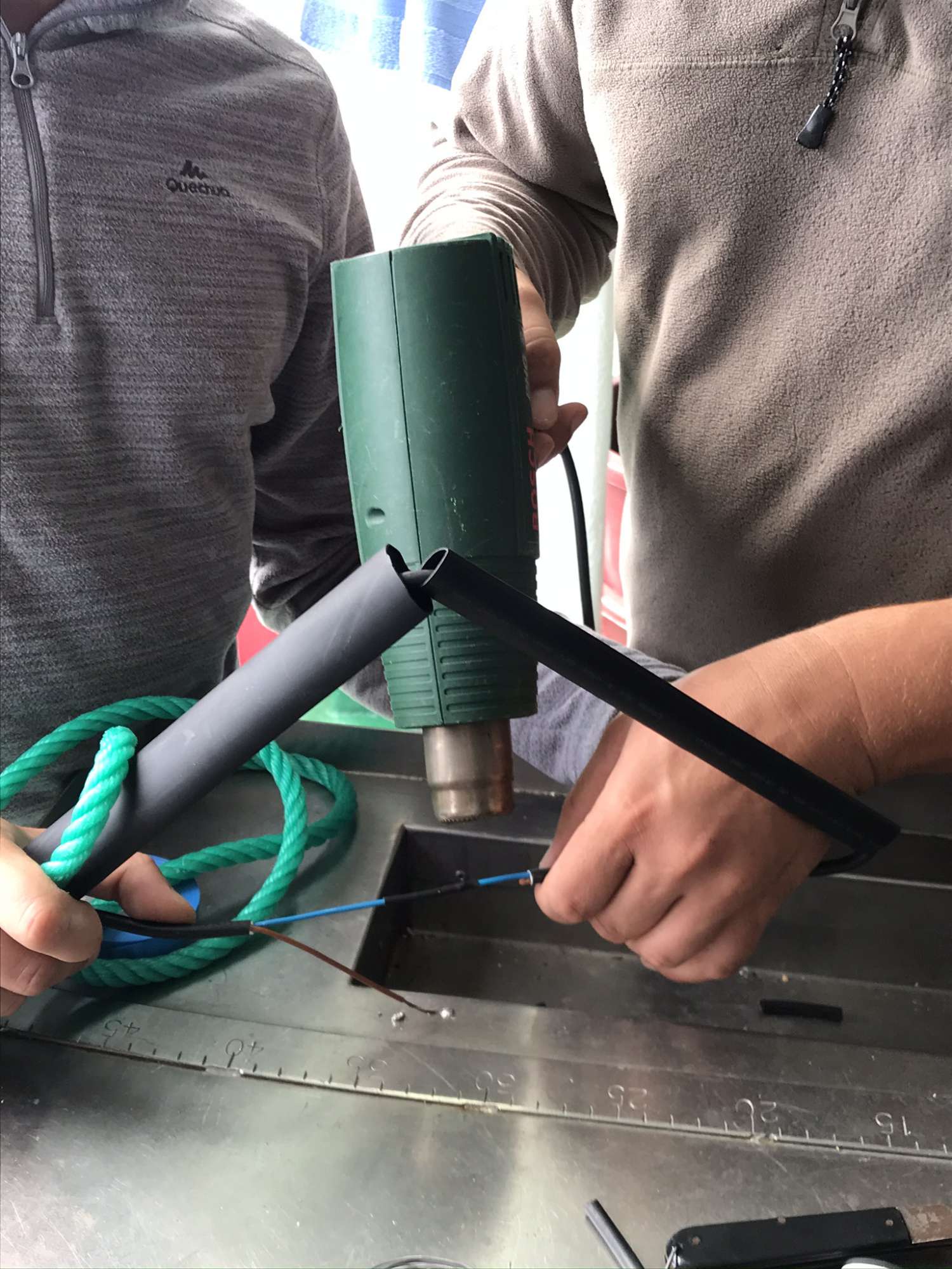
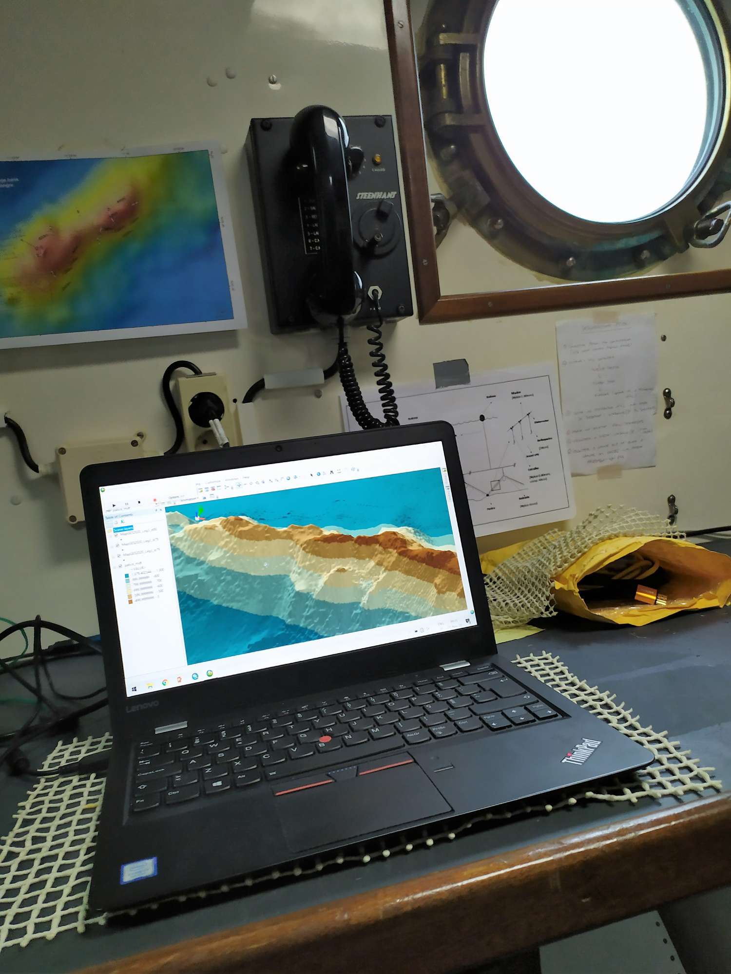
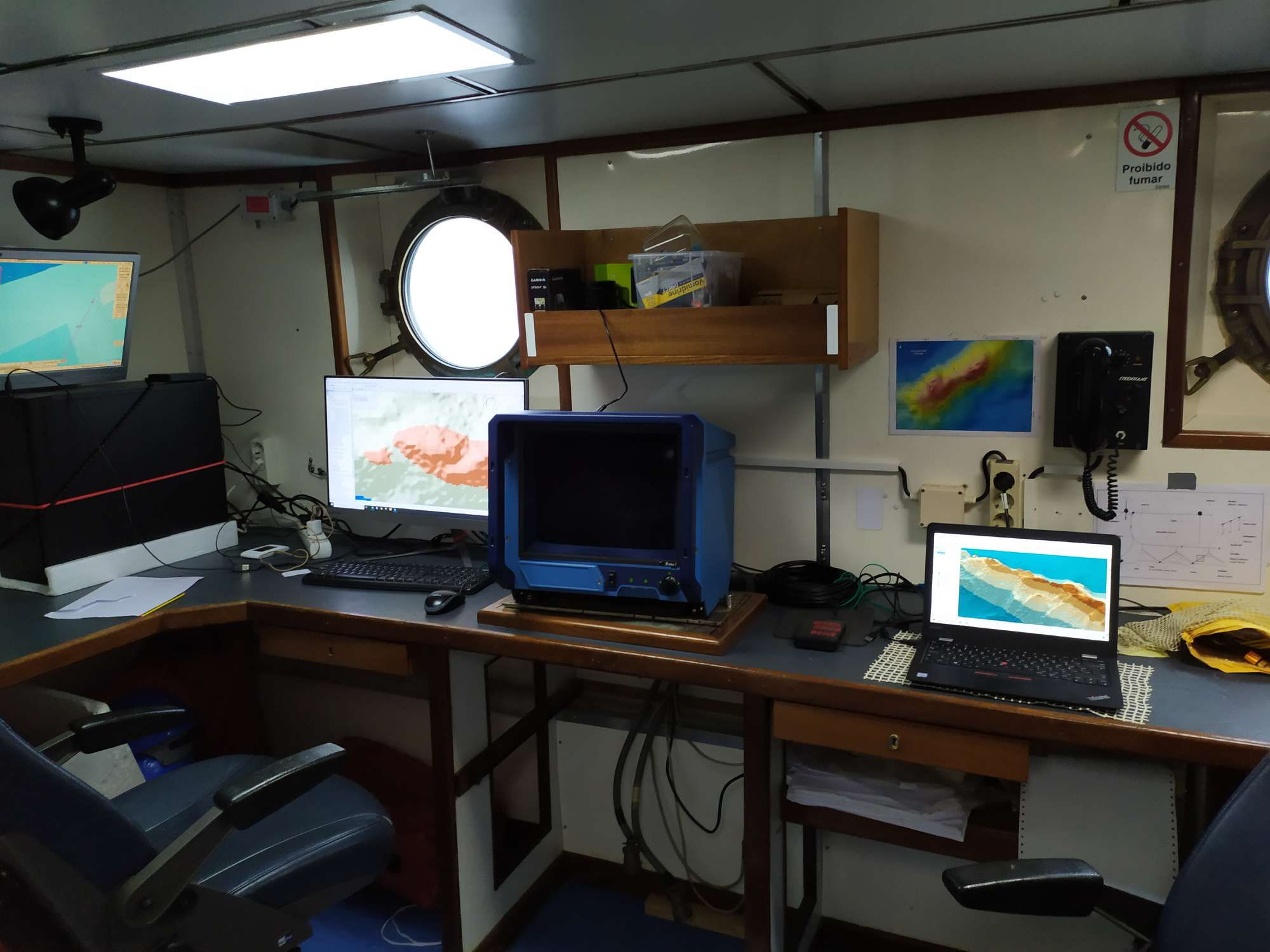
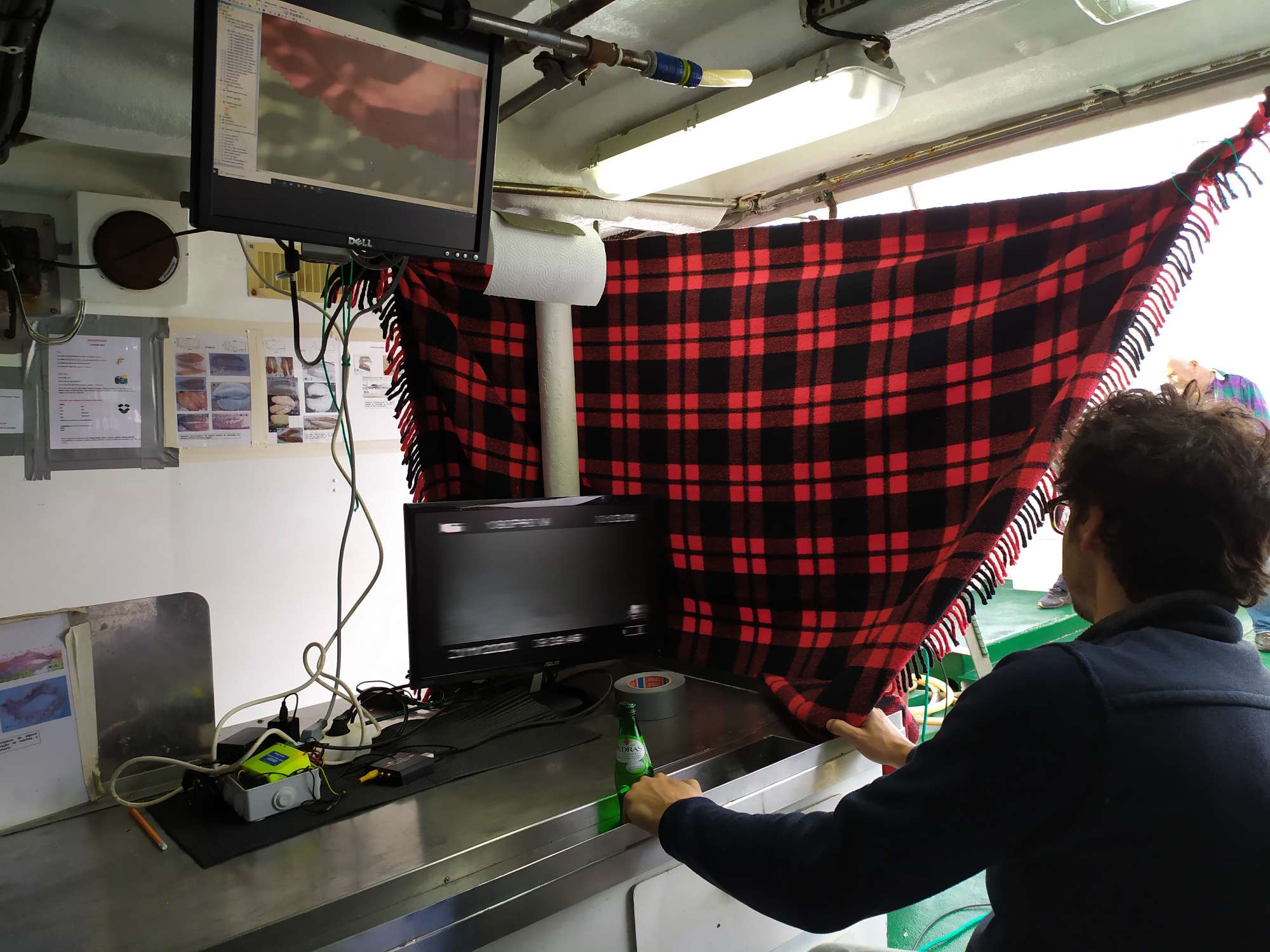
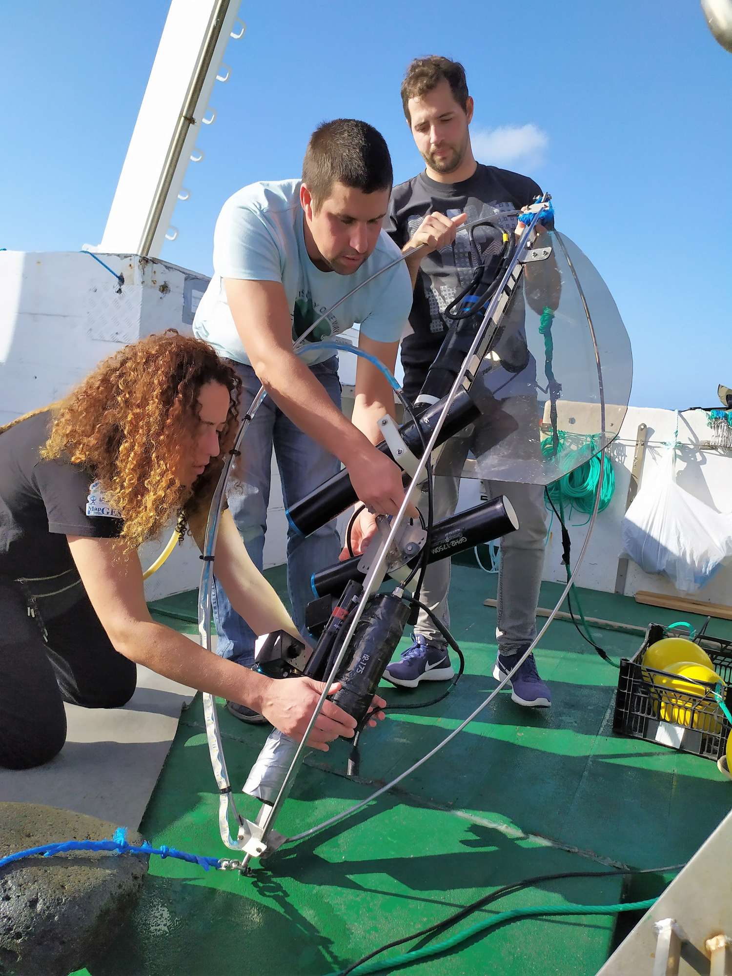
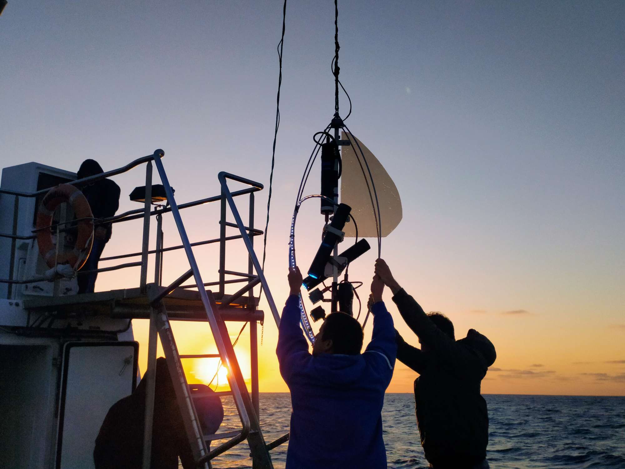
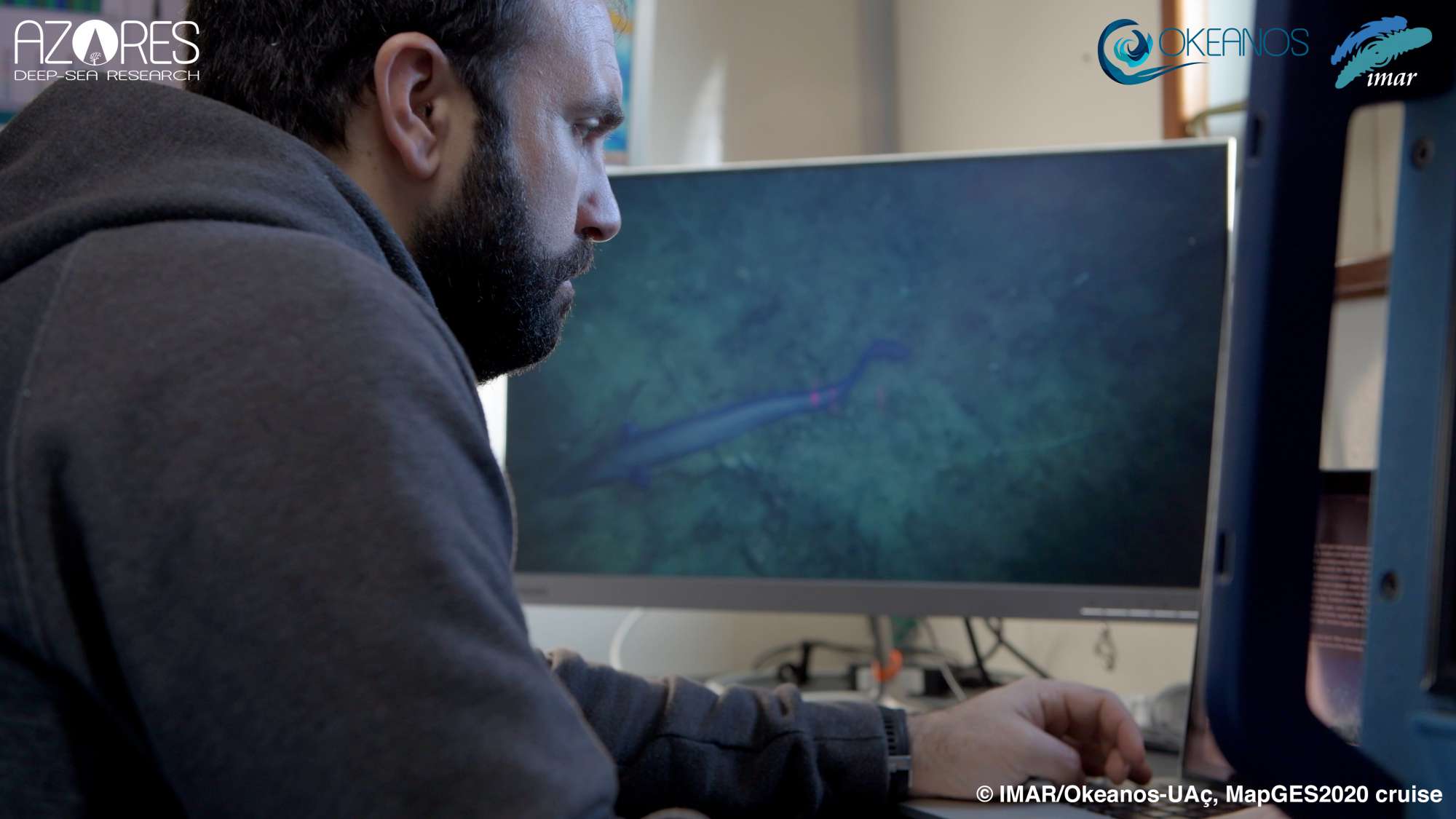
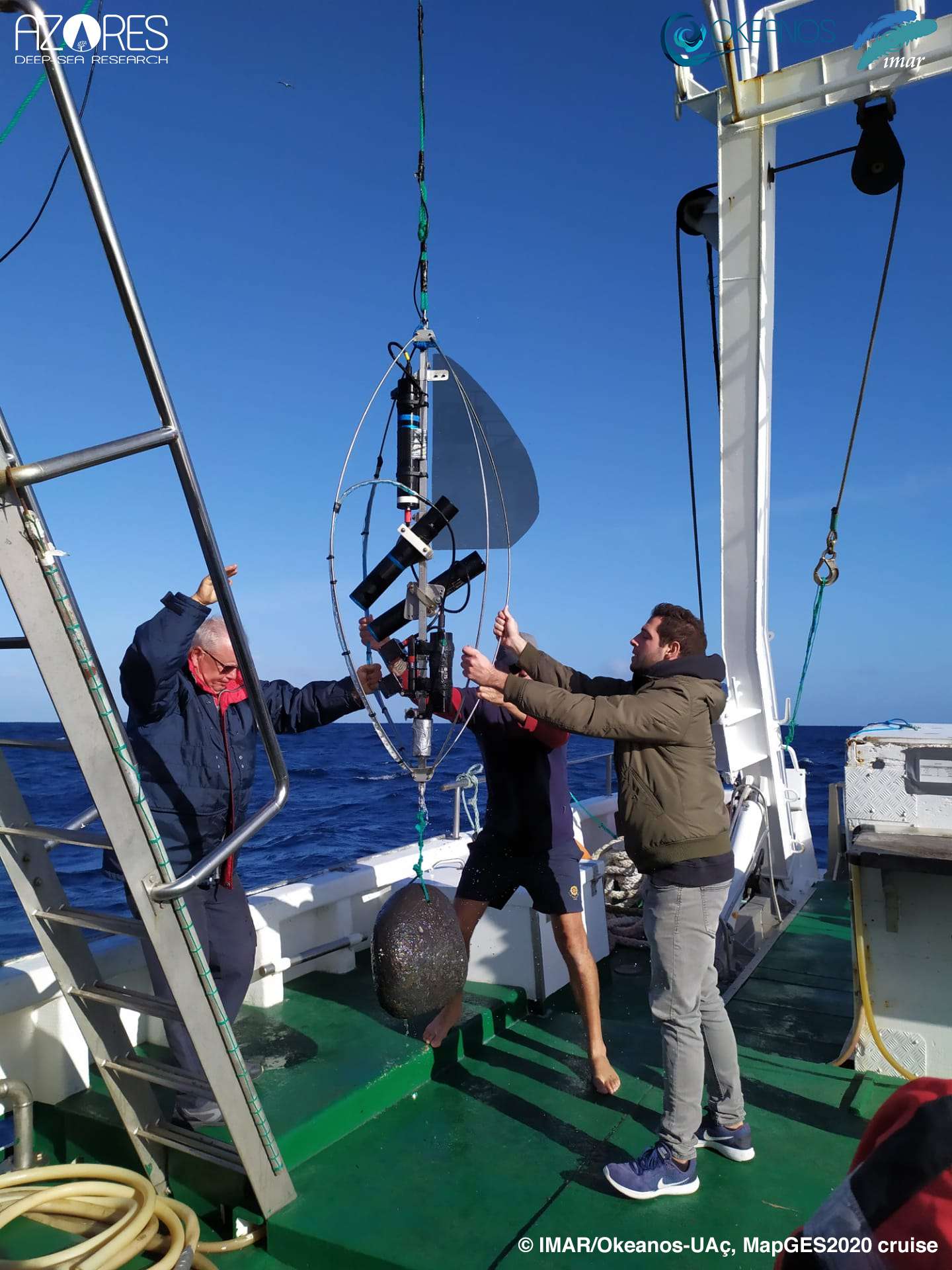
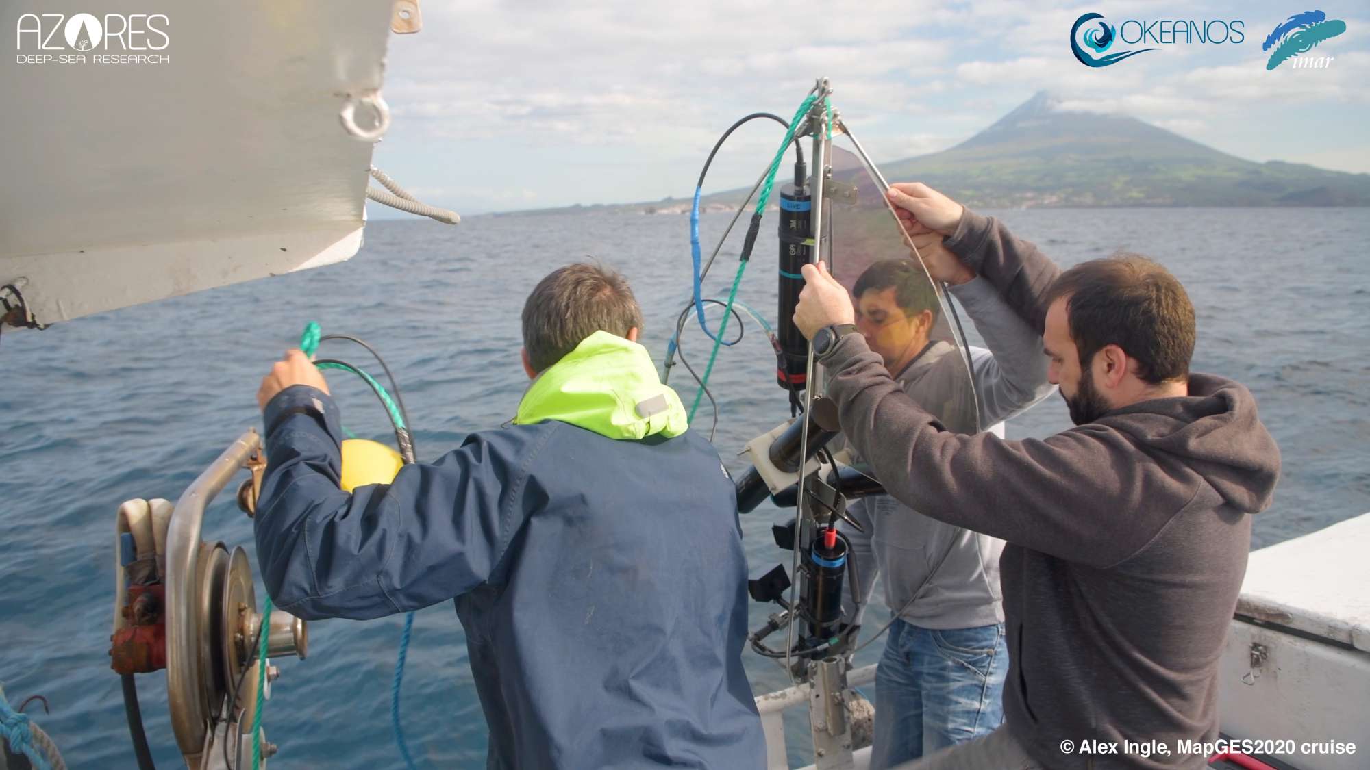
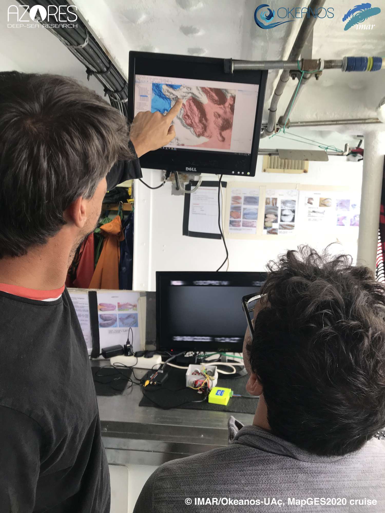
MapGES 2020 aimed to map deep-sea biodiversity and identify Vulnerable Marine Ecosystems (VMEs) using the Azor drift-cam system. The system was deployed both from the fishing vessel Galinha and from the RV Arquipélago, from the University of the Azores. The objectives of this cruise were to (i) map benthic communities inhabiting unexplored seamounts, ridges and island slopes, (ii) identify new areas that fit the FAO Vulnerable Marine Ecosystem definition; and (iii) determine distribution patterns of deep-sea benthic biodiversity in the Azores. The results of this cruise contributed to identifying the environmental drivers that determine the spatial distribution of deep-sea benthic biodiversity in the Azores region. It also provided valuable information in the context of Good Environmental Status (GES), Marine Spatial Planning (MSP) and provide new insights on how to sustainably manage deep-sea ecosystems.
Statistics
Highlights

Location of operation
Graciosa, Terceira and south Faial (Central Azores EEZ)
Stations
MapGES 2020
| Leg | Period | Days at sea | Vessel | Departure | Return |
|---|---|---|---|---|---|
| 1 | 22/08/2020 - 31/08/2020 | 10 | FV Galinha | Graciosa | Graciosa |
| 2 | 24/09/2020 - 01/10/2020 | 8 | RV Arquipélago | Horta | Horta |
| 3 | 14/10/2020 - 14/10/2020 | 1 | FV Tatiana | Horta | Horta |
| 4 | 20/11/2020 - 26/11/2020 | 7 | RV Arquipélago | Horta | Horta |
A total of 26 days at sea
Activities
Funding
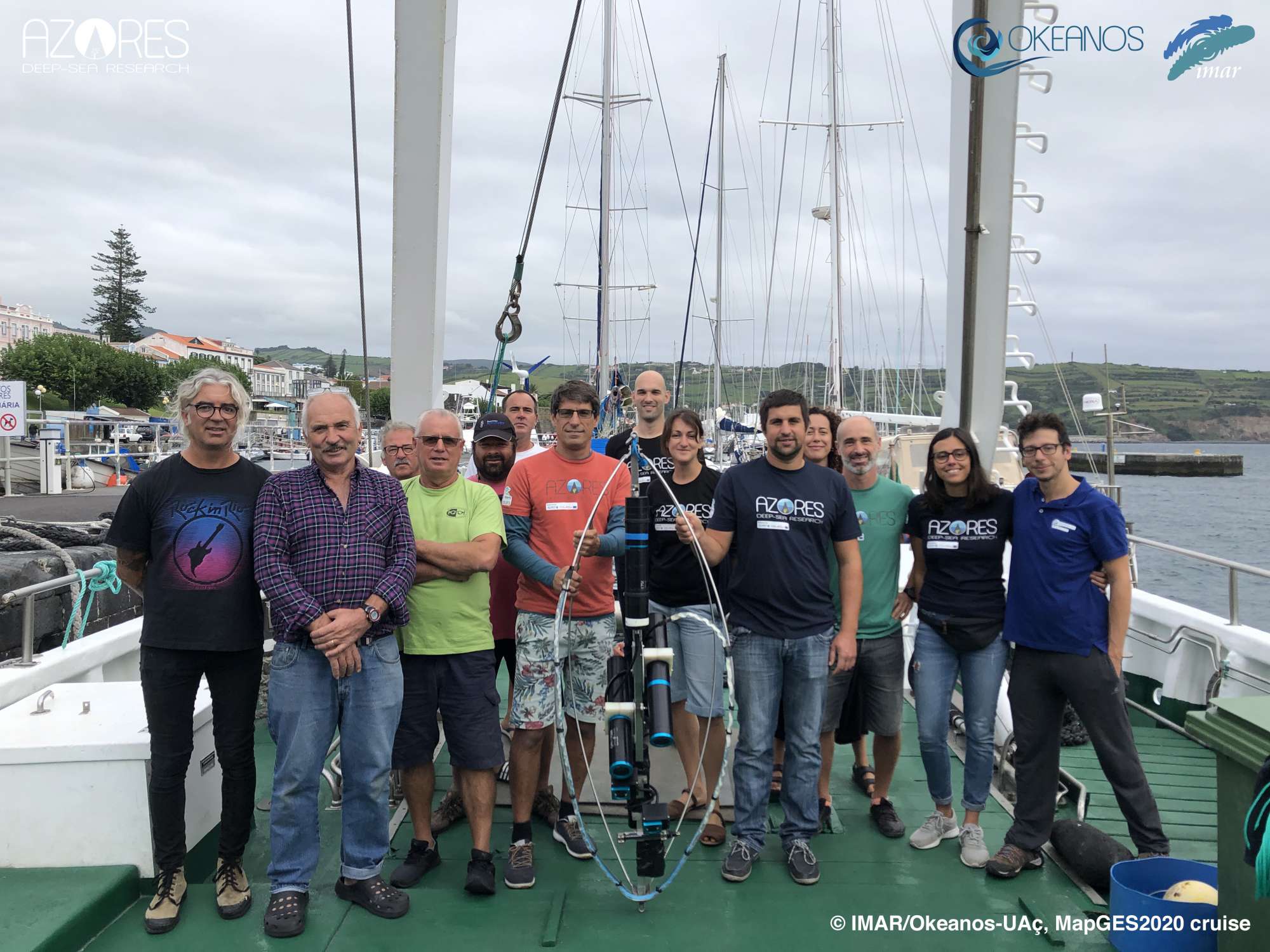
Cruise crew
Chief scientist
Scientific crew
Collaborators


Images


Dives images


Location
Departamento de Oceanografia e Pescas — Universidade dos Açores
Rua Prof. Doutor Frederico Machado, No. 4
9901-862 Horta, Portugal
Contact
Email: azoresdeepsea@gmail.com
AZORES DEEP-SEA RESEARCH © 2020-2026 — RELEASE 2.1
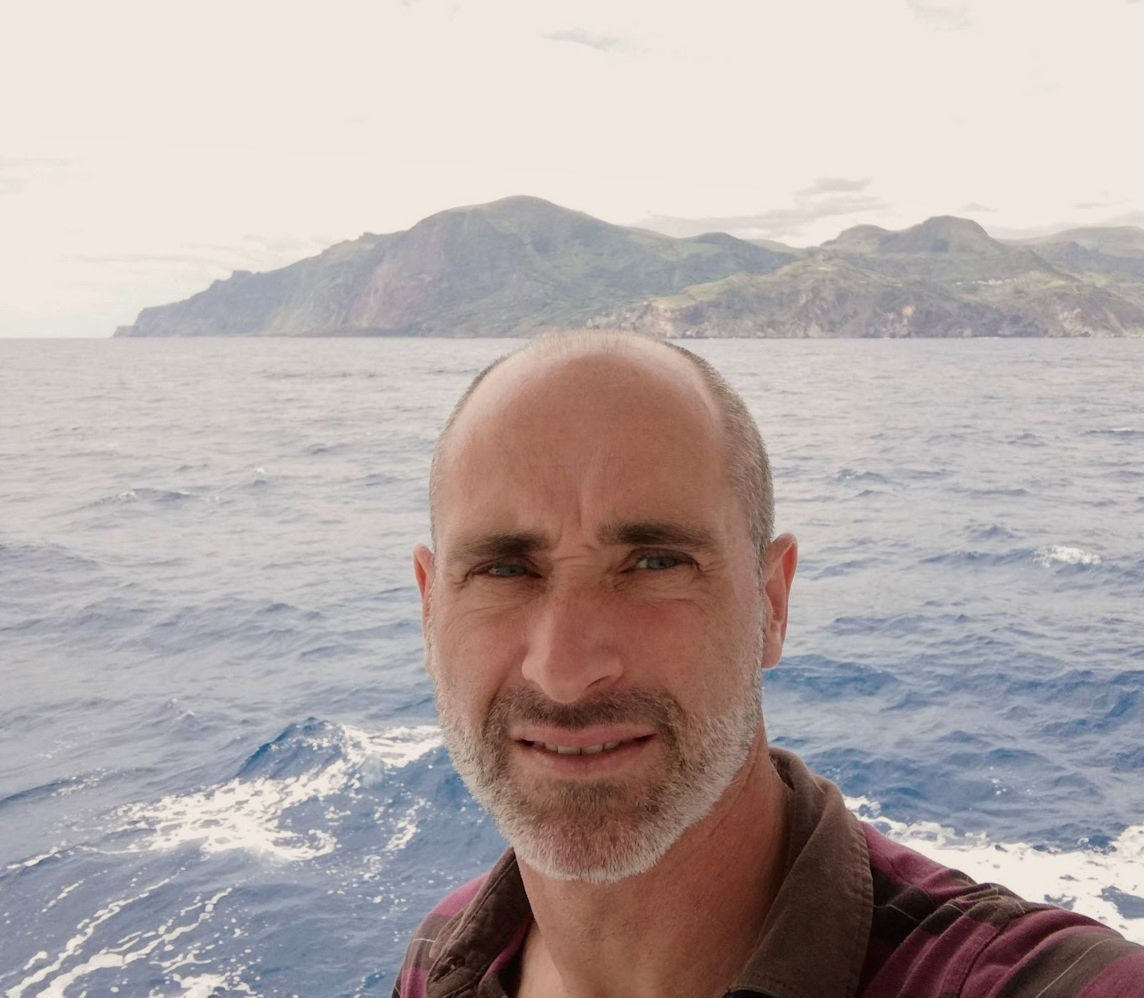
 VALTER MEDEIROS