

Loading…

ADCP data collected during the iMAR 2021/Eurofleets+ research cruise in Mid Atlantic Ridge (Azores EEZ)

Loading DOI record...

ADCP data collected during the iMAR 2021/Eurofleets+ research cruise in Mid Atlantic Ridge (Azores EEZ)

DOI: 10.17882/86019

Type: Dataset

Year: 2022

Citations: 0

AZORES DEEP-SEA RESEARCH
Dataset Open access January 2022

ADCP data collected during the iMAR 2021/Eurofleets+ research cruise in Mid Atlantic Ridge (Azores EEZ)

Total authors
8
Involved team members
5
Citations
0
References
0

Related to this work

Abstract

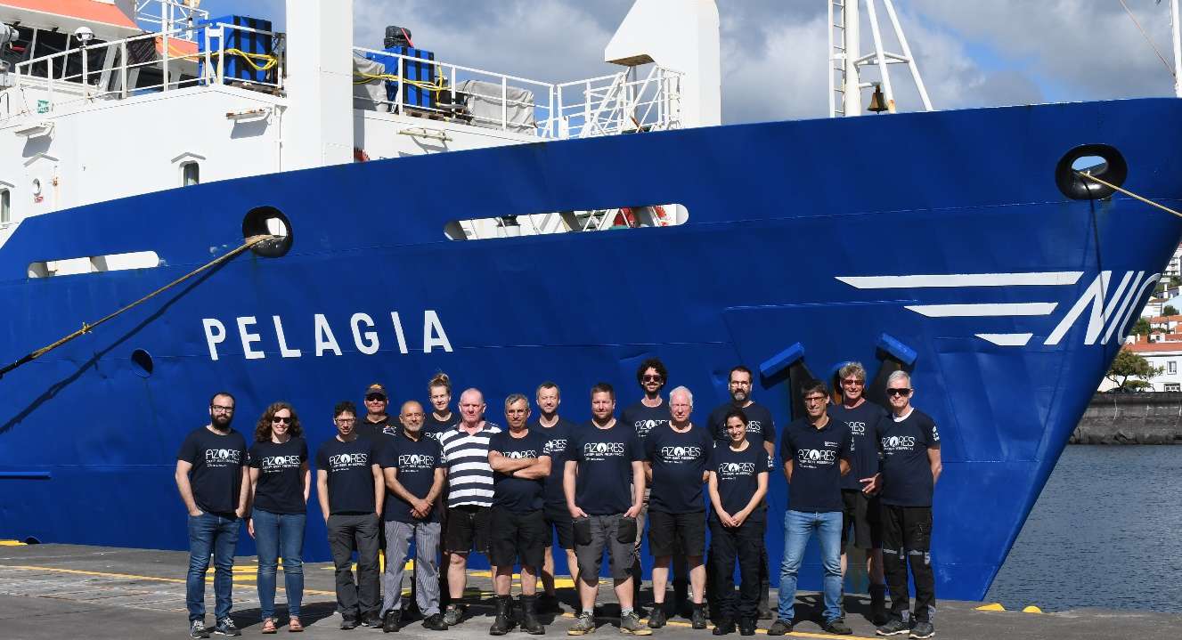
This dataset was produced during the iMAR cruise “The Integrated assessment of the distribution of Vulnerable Marine Ecosystem along the Mid-Atlantic Ridge (MAR) in the Azores region”, that took place aboard the Research Vessel Pelagia of the Royal Netherlands Institute for Sea Research between May 19th and June 2nd 2021. The iMAR cruise aimed to evaluate the role of the MAR in shaping latitudinal and trans-Atlantic patterns in deep-sea biogeography, connectivity and assemblages of deep-sea megafauna. This expedition was funded by the SEA OCEANS program of Eurofleets+ and the H2020 European project iAtlantic, and was led by the University of the Azores (Portugal) in collaboration with the Hydrographic Institute and University of Porto (Portugal), the University of Aarhus (Denmark), the National Oceanography Center (United Kingdom), GEOMAR (Germany), the University Museum of Bergen (Norway), the PP Shirshov Institute of Oceanology (Russia), and the University of Vale do Itajaí (Brazil). ADCP data was collected at 34 stations during the iMAR cruise, mainly in the North portion of the MAR in the EEZ around the Azores (Table 1). This dataset contain the “.ENR” and another 9 file types with the same name structure but different extensions (.ENS; .ENX; .TXT; .LTA; .N1R; .N2R; .NMS; .STA; .VMO). VmDas Quick Start Guide: “.ENR” raw ADCP data file; “.ENS” ADCP data after having been screened for RSSI and correlation by VmDas; “.ENX” ADCP single-ping data (plus NAV) after having been bin-mapped, transformed to Earth coordinates, and screened for error velocity, vertical velocity, and false targets. “.LTA” ADCP (plus NAV) data that has been averaged using the long time period; “.N1R” and “.N2R” Raw NMEA data files; includes ADCP time stamps; “.N1R” extension is used for single-port NMEA data collection, or for GPS position data (Nav) in dual-port collection mode. The “.N2R” extension is used for Roll/Pitch/Heading (RPH) data collection when using two serial ports for NMEA data collection. “.NMS” Binary format NAV data file after having been screened and pre-averaged. “.STA” ADCP (plus NAV) data that has been averaged using the short time period; “.VMO” the option settings used for collecting the data (text file).

Authors

5 involved team members
M
Mohn, Christian
0000-0002-4331-1365

Aarhus University, Department of Ecoscience - Applied Marine Ecology and Modelling, Denmark

N
Neves De Sousa, Laura

Instituto Hidrográfico, Portugal

Record details

Type
dataset
Language
EN

Keywords

Cruise Oceanography Hydrography Ridge Geography Geology Research vessel Raw data Marine research Data archive

Follow us on social media to stay updated

Location

Institute of Marine Sciences — Okeanos, University of the Azores

Departamento de Oceanografia e Pescas — Universidade dos Açores

Rua Prof. Doutor Frederico Machado, No. 4
9901-862 Horta, Portugal

Contact

FOLLOW US —
ADSR

AZORES DEEP-SEA RESEARCH © 2020-2026 — RELEASE 2.1

Developed by Valter Medeiros VALTER MEDEIROS