AZORES
DEEP-SEA RESEARCH © CRUISES
Stations
iMAR 2022
Loading…
iMAR 2022
iMAR: Integrated assessment of the distribution of Vulnerable Marine Ecosystem along the Mid-Atlantic Ridge in the Azores region
iMAR 2022
Loading cruise data…
iMAR: Integrated assessment of the distribution of Vulnerable Marine Ecosystem along the Mid-Atlantic Ridge in the Azores region
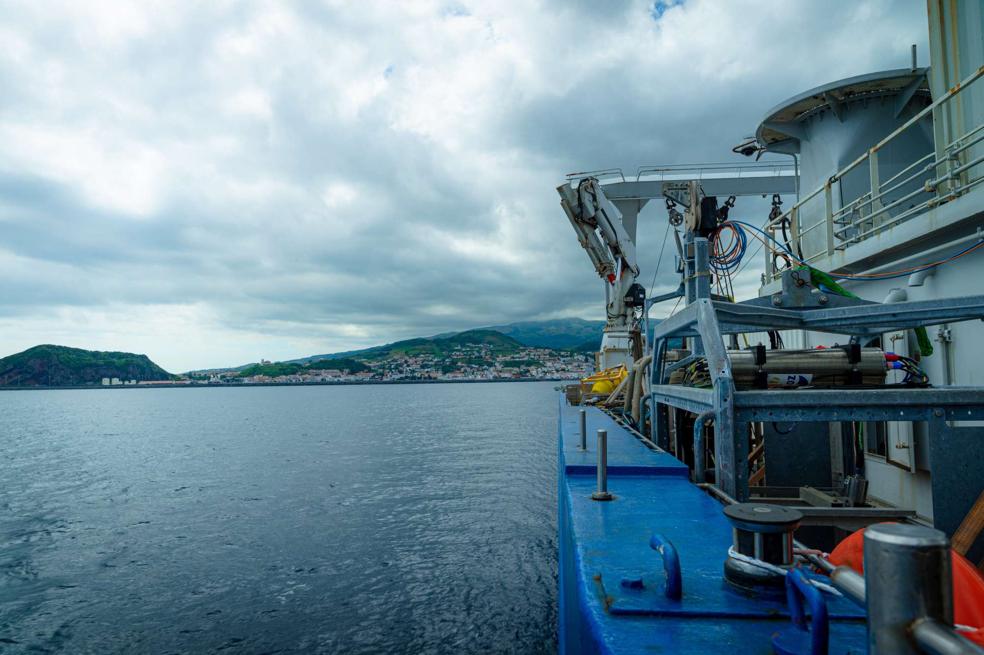
Location: Southern Mid-Atlantic Ridge (Azores EEZ)
Year: 2022
38 stations
12 dives
1030 km transits
10 areas visited
Summary
iMAR: Integrated assessment of the distribution of Vulnerable Marine Ecosystem along the Mid-Atlantic Ridge in the Azores region
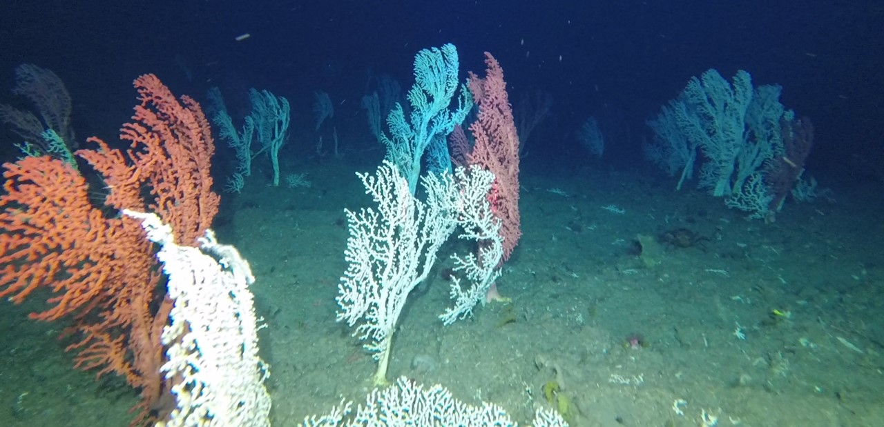
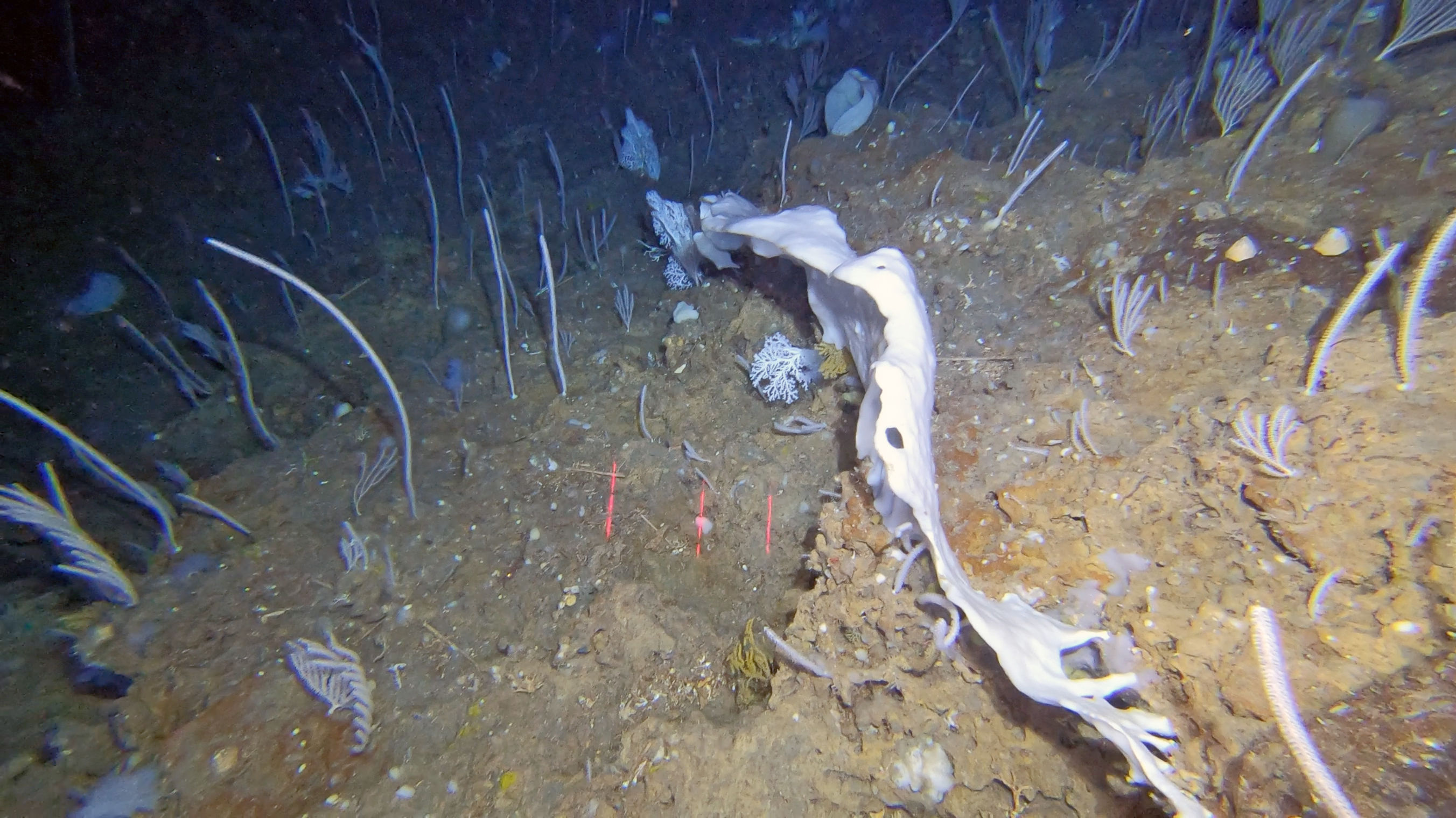
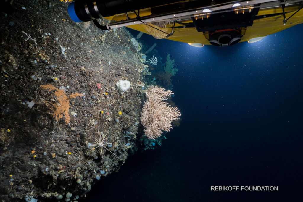
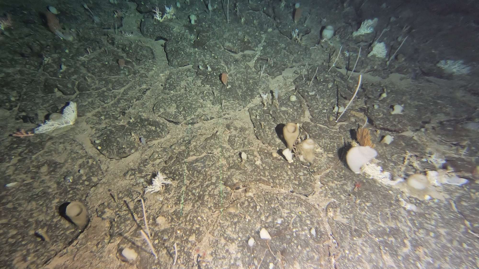
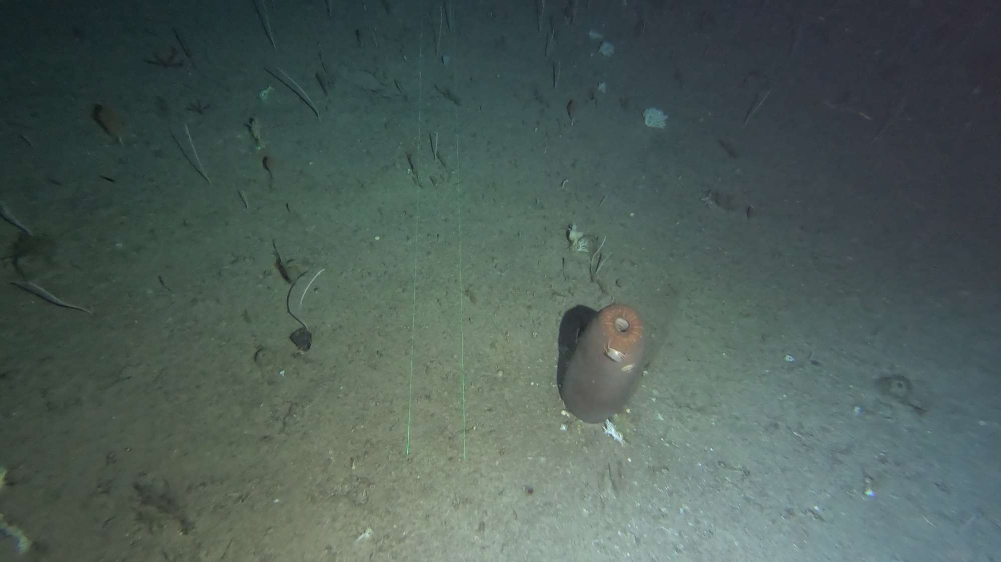
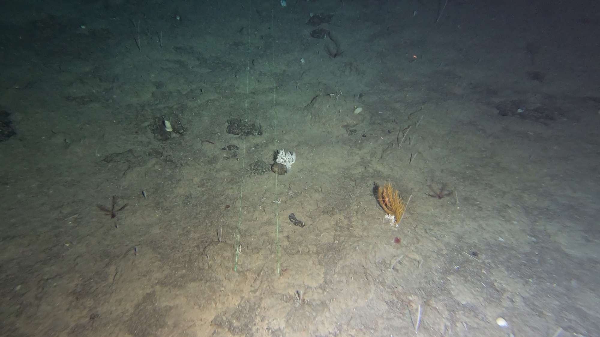
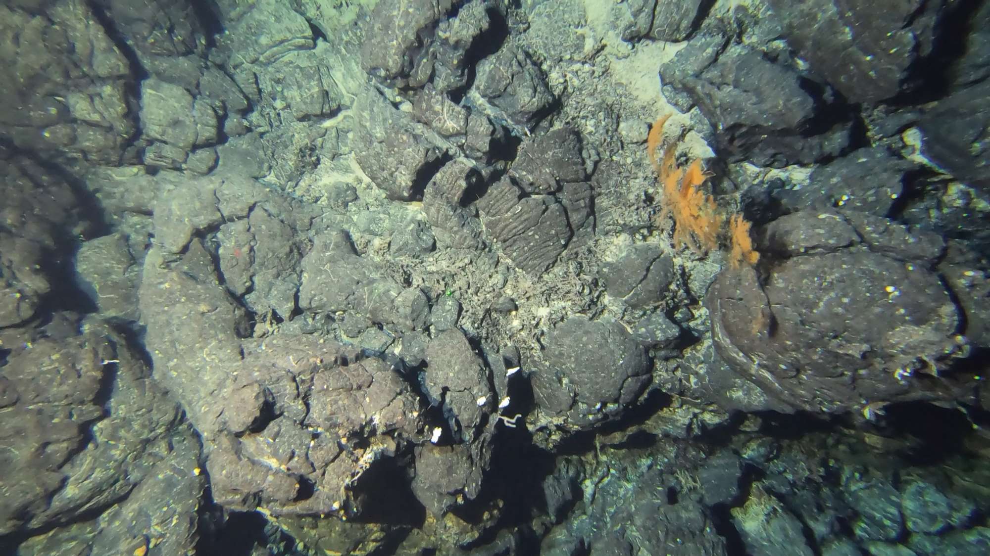
The iMAR cruises aimed to evaluate the role of the Mid-Atlantic Ridge (MAR) in shaping the latitudinal and trans-Atlantic patterns in deep-sea biogeography, connectivity and spatial distribution patterns of deep-sea megafauna. Additionally, the cruise aimed to (i) map and characterize deep-sea coral and sponge communities inhabiting unexplored seamounts and ridges in the MAR around the Azores; (ii) identify new areas that fit the FAO’s Vulnerable Marine Ecosystem definition; (iii) add to the existing knowledge on the environmental drivers that determine the spatial distribution of deep-sea benthic biodiversity in the MAR; and finally (iv) determine the condition of benthic communities by looking at evidence of fishing damage to fauna, presence of lost fishing gear and marine litter.
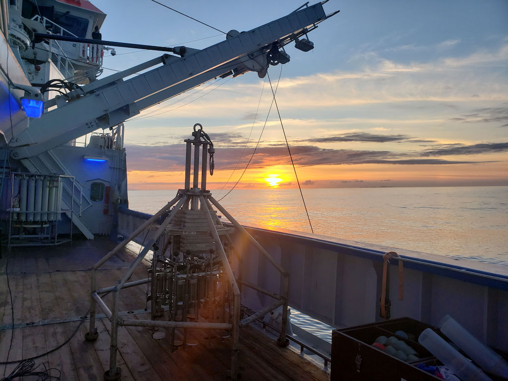
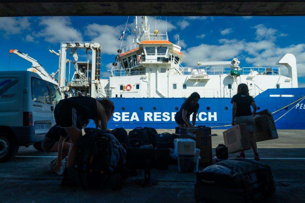
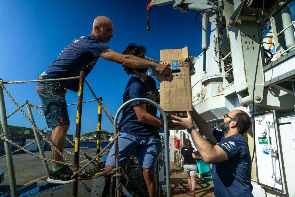
The iMAR_2022 cruise “The Integrated assessment of the distribution of Vulnerable Marine Ecosystem along the Mid-Atlantic Ridge (MAR) in the Azores region” took place aboard the Research Vessel Pelagia of the Royal Netherlands Institute for Sea Research between July 28th and August 4th 2022. The expedition coded 64PE506 was the second leg of the iMAR cruise funded by the SEA OCEANS program of Eurofleets+ and the H2020 European project iAtlantic. It was led by the University of the Azores (Portugal) in collaboration with the Hydrographic Institute and University of Porto (Portugal), the University of Aarhus (Denmark), the National Oceanography Center (United Kingdom), GEOMAR (Germany), the University Museum of Bergen (Norway), the PP Shirshov Institute of Oceanology (Russia), and the University of Vale do Itajaí (Brazil). We explored under-visited portions of the southern MAR in the Azores region and associated ridges and seamounts between 300 and 1,200 m depth.
Statistics
Highlights
Location of operation
Southern Mid-Atlantic Ridge (Azores EEZ)
Stations
iMAR 2022
| Leg | Period | Days at sea | Vessel | Departure | Return |
|---|---|---|---|---|---|
| 1 | 28/07/2022 - 04/08/2022 | 8 | RV Pelagia | Horta | Horta |
A total of 8 days at sea
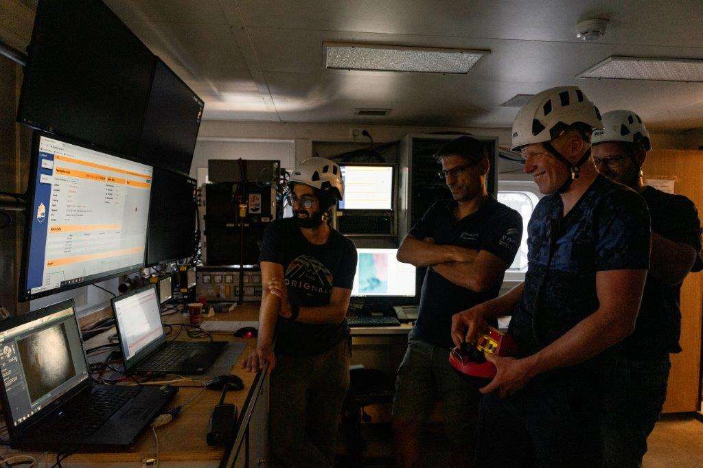
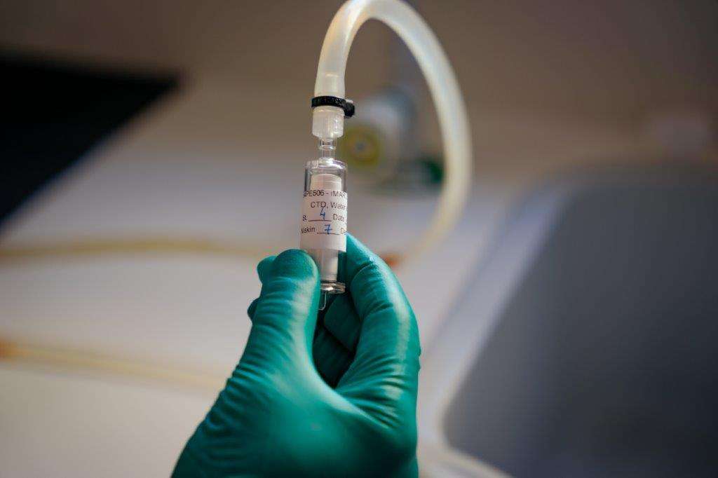
Activities
Funding
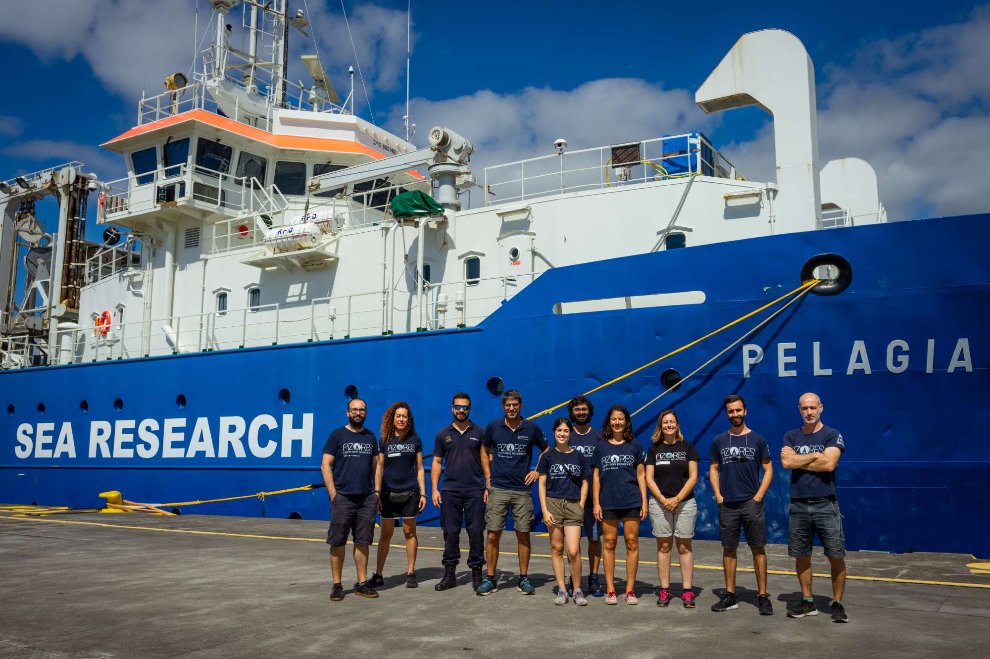
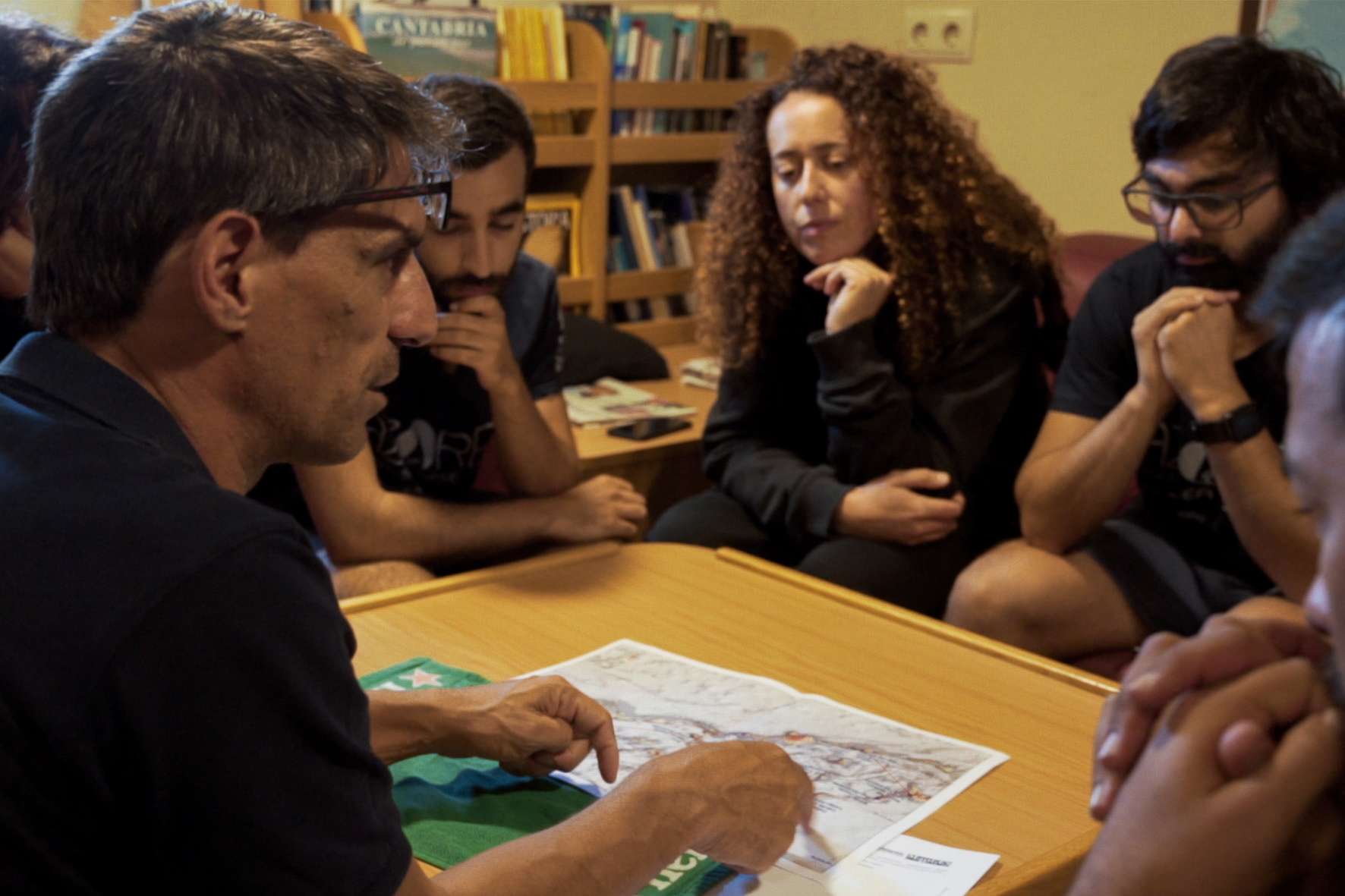
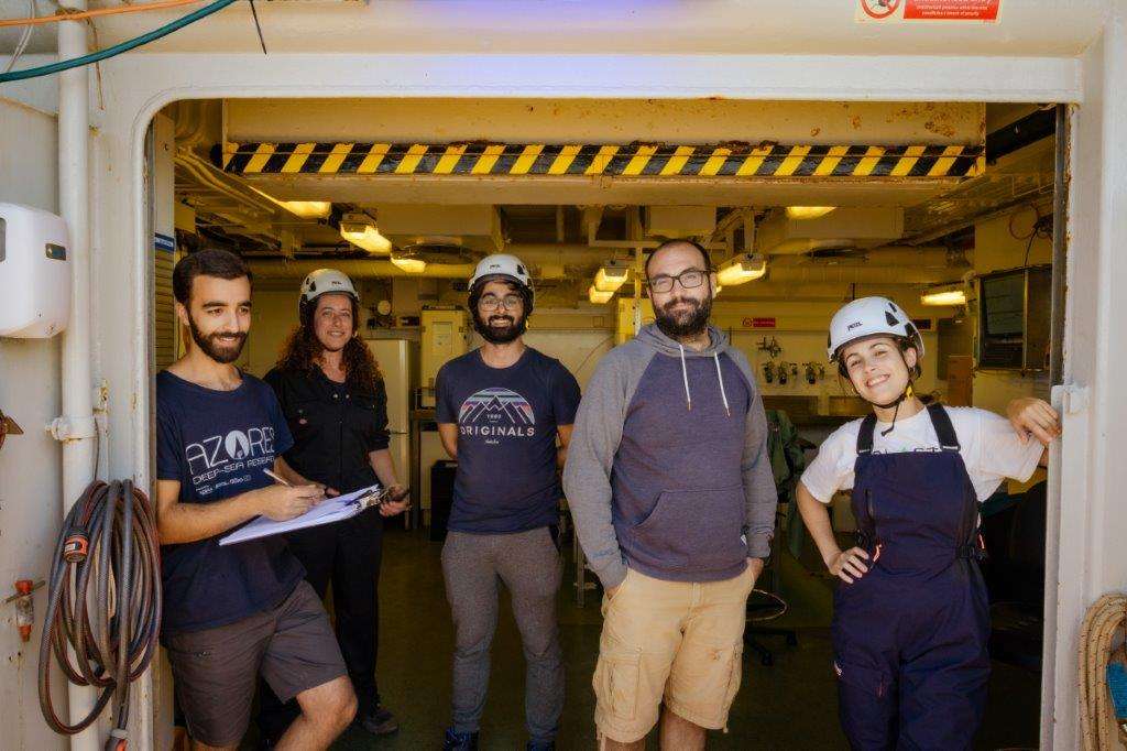
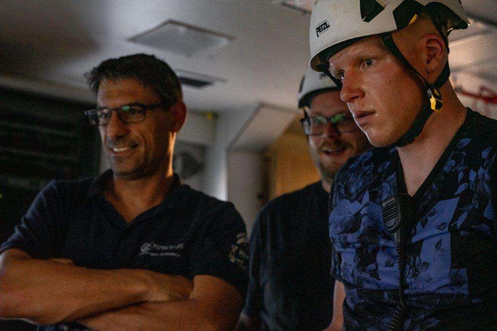
Cruise crew
Chief scientist
Scientific crew
Carlos Dominguez-Carrió

Guilherme Gonçalves

Inês Carneiro
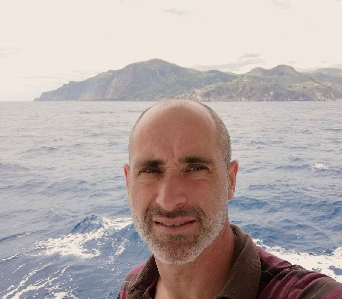
Luís Rodrigues
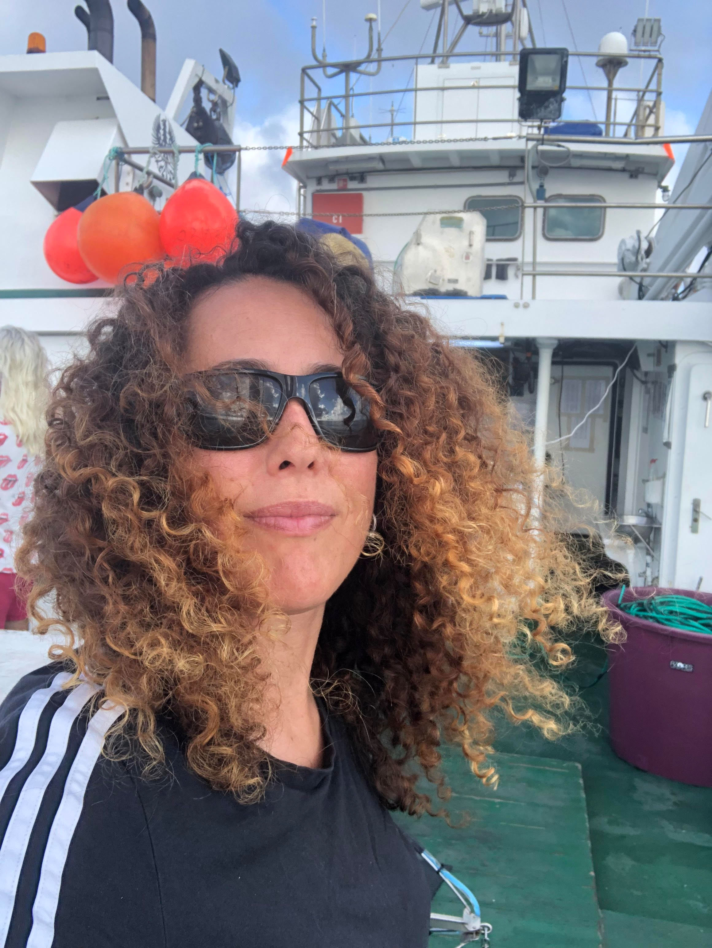
Manuela Ramos

Marina Carreiro-Silva
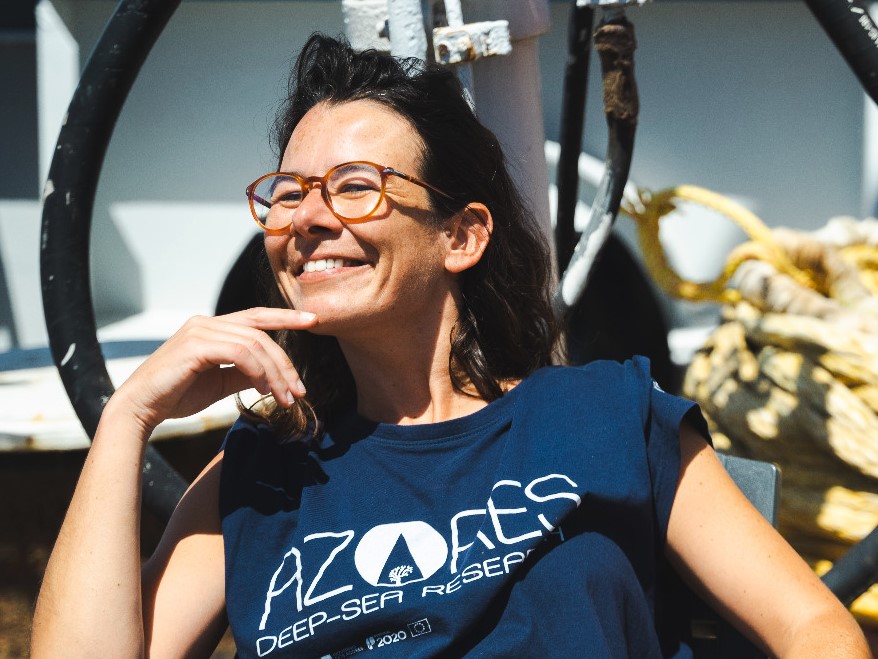
Teresa Cerqueira

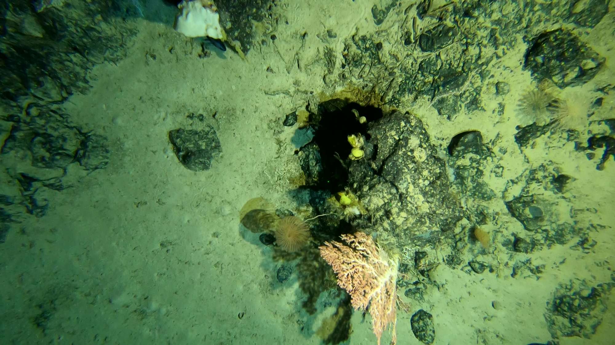
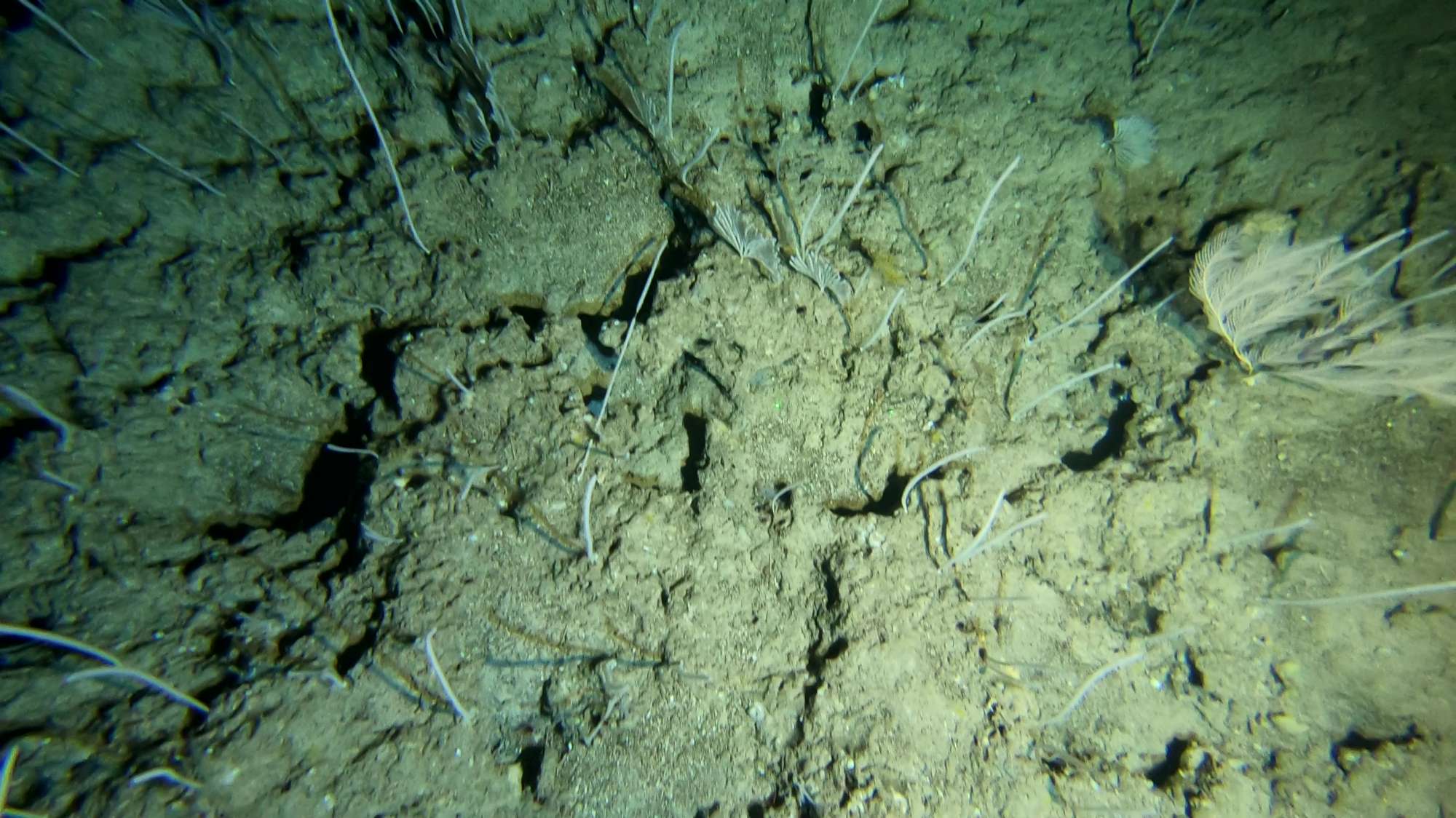
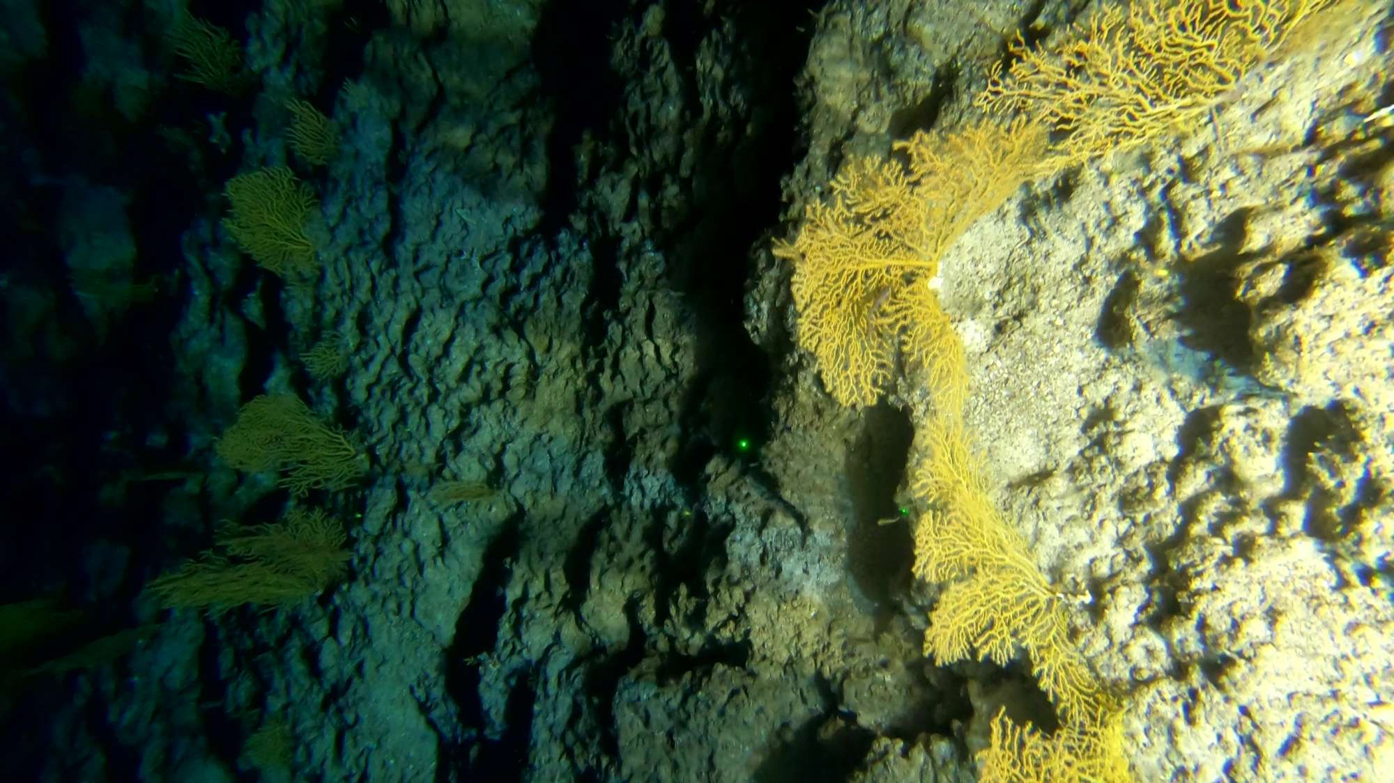
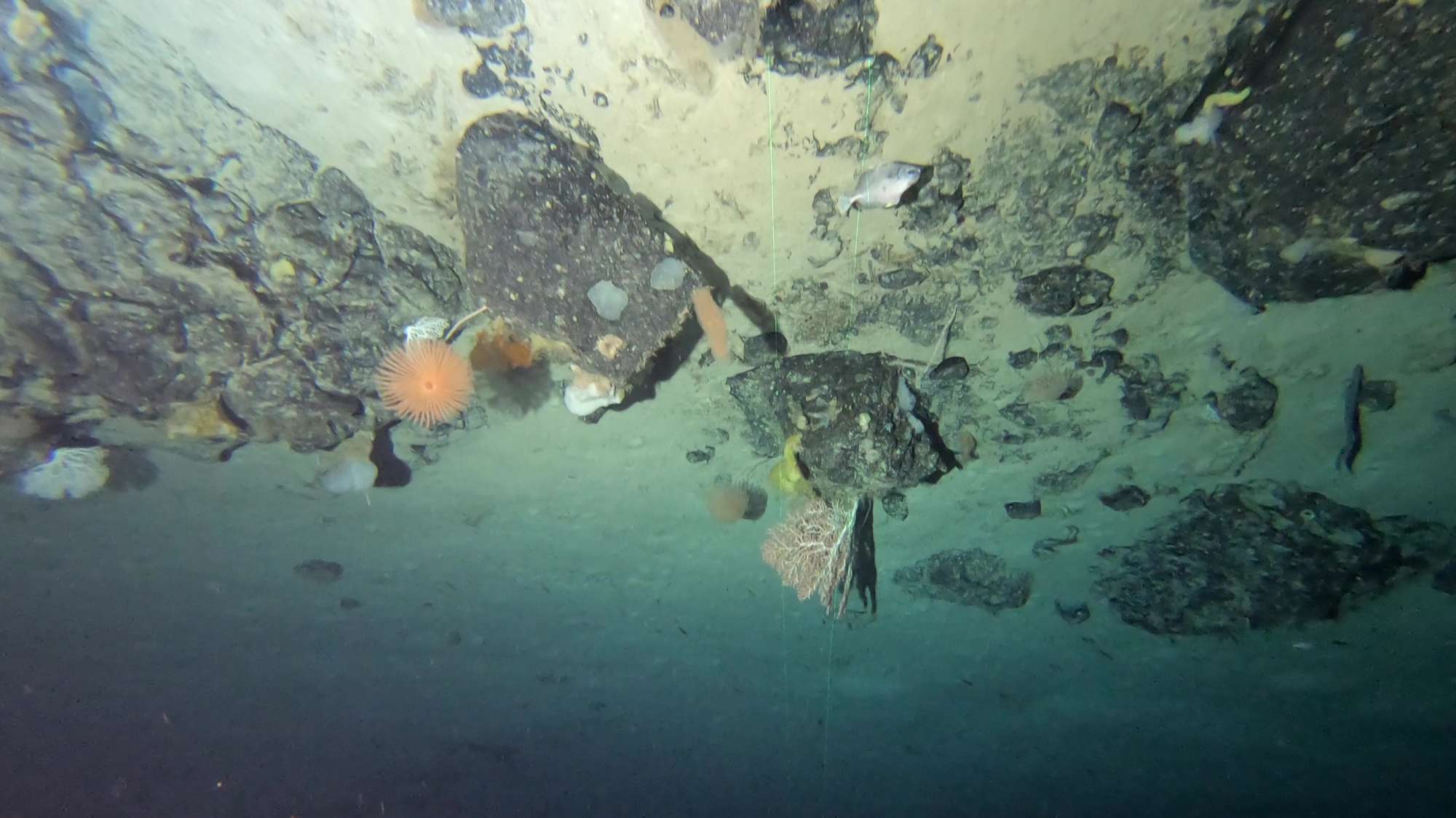
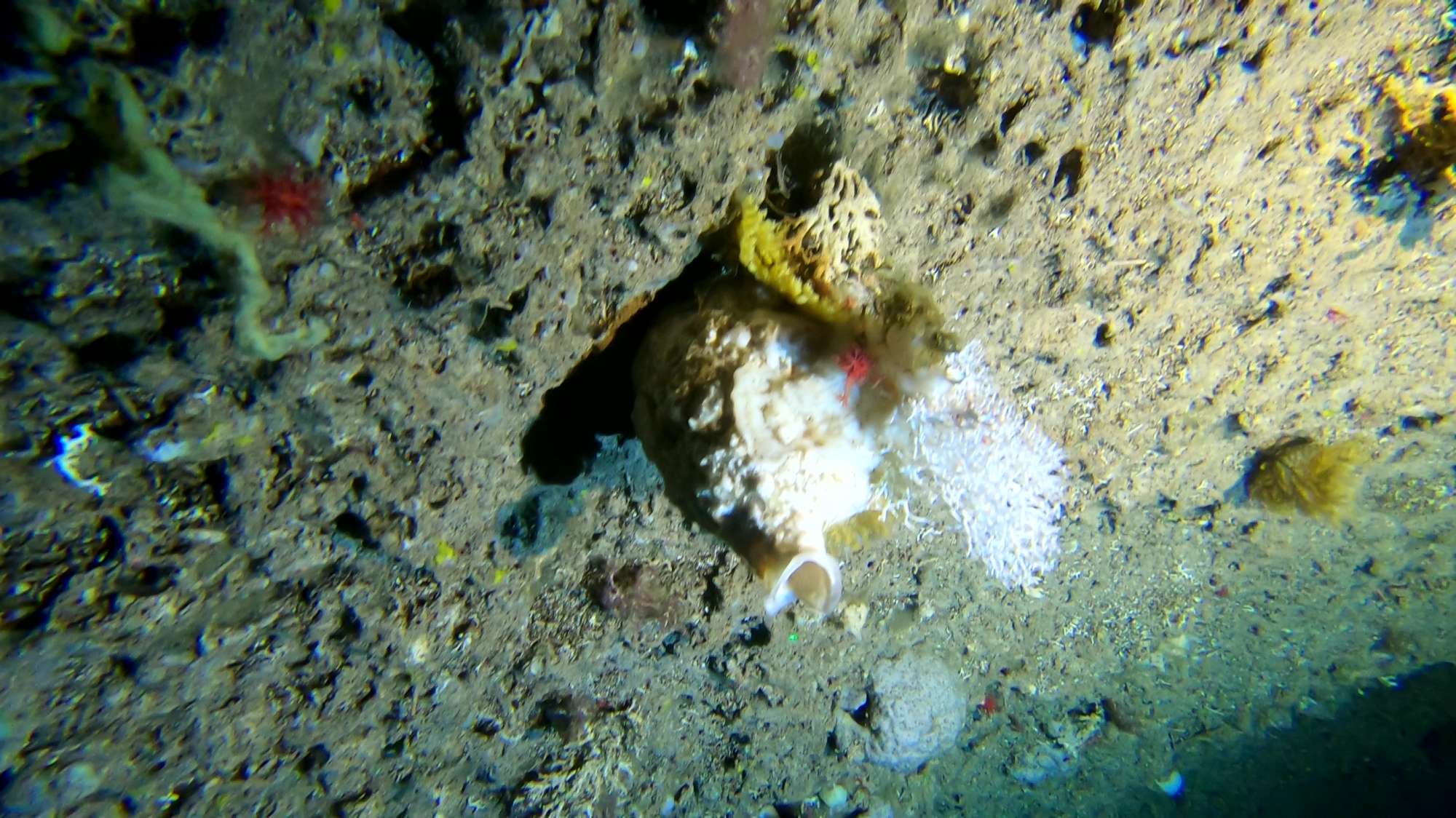
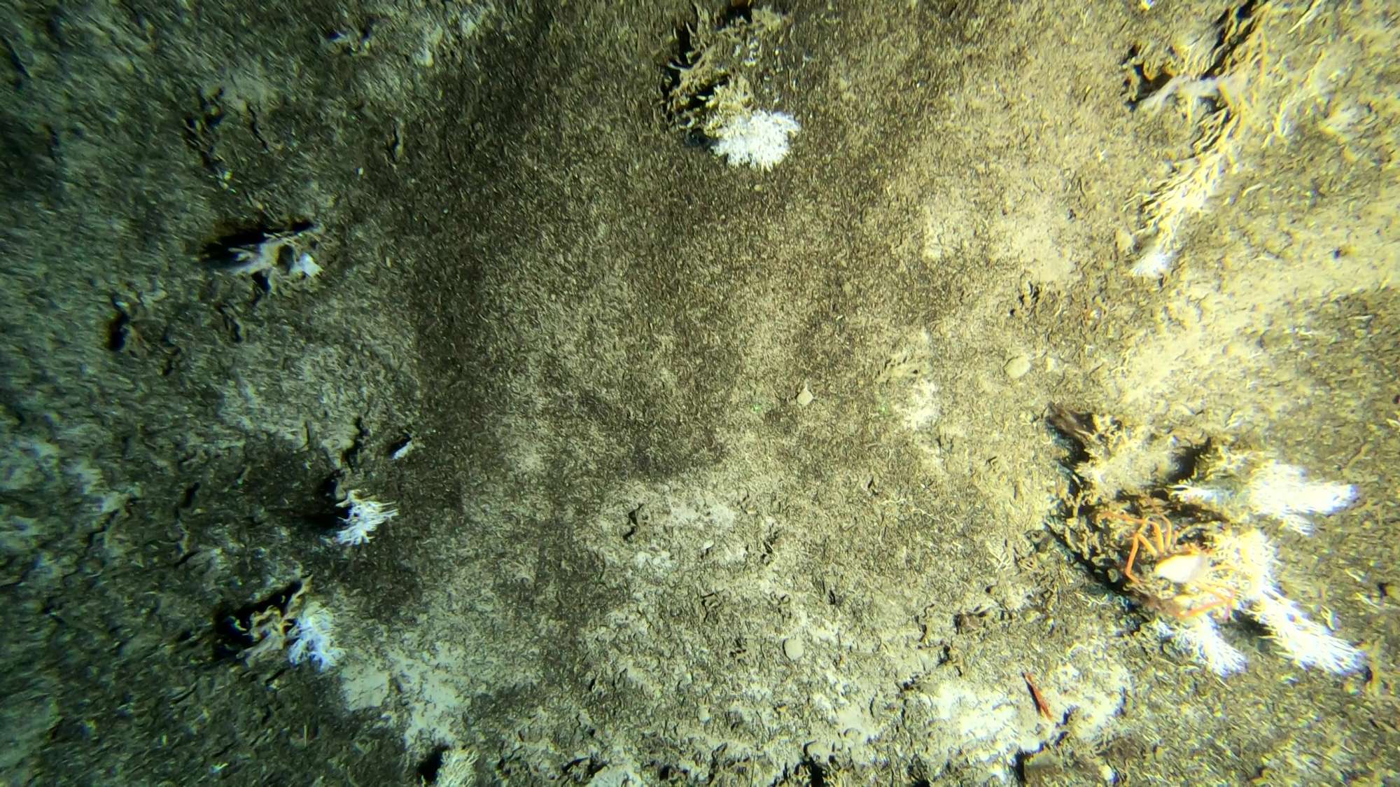
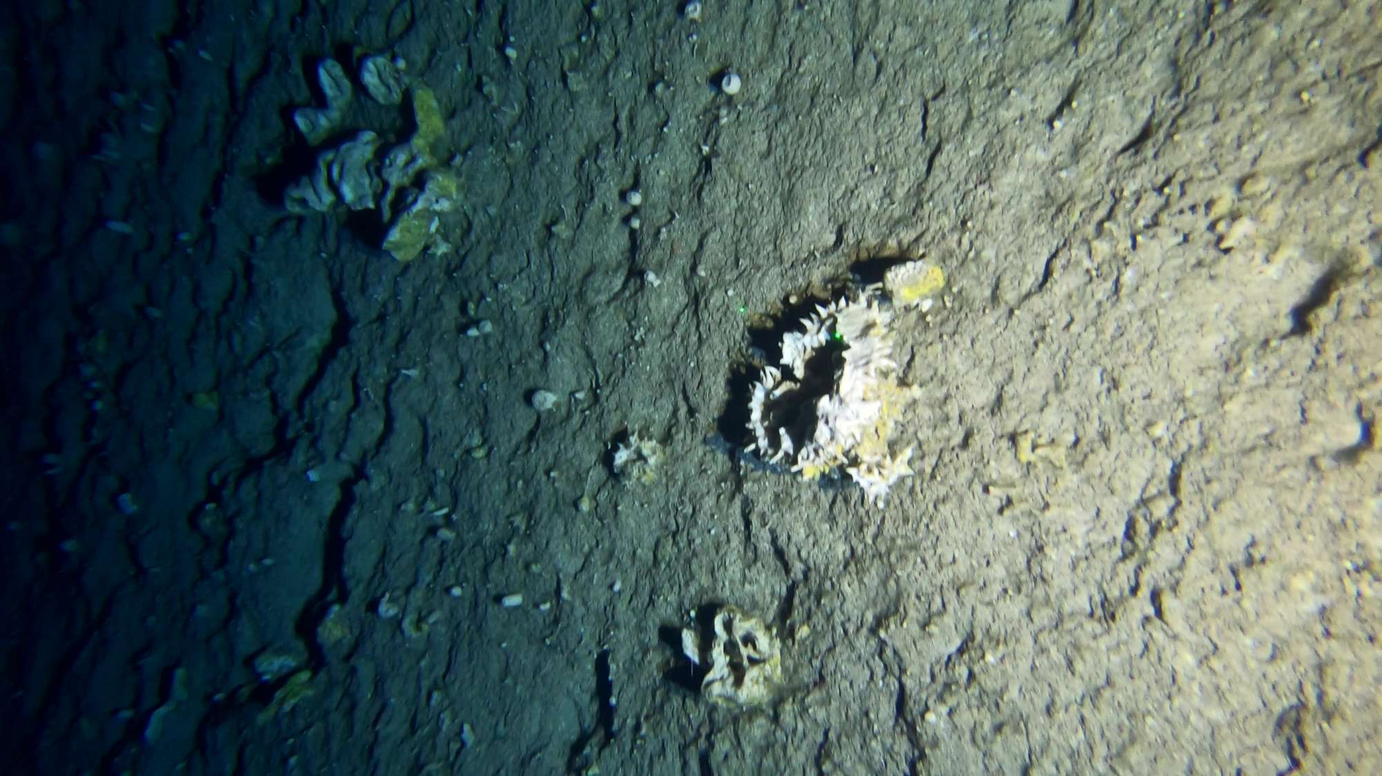
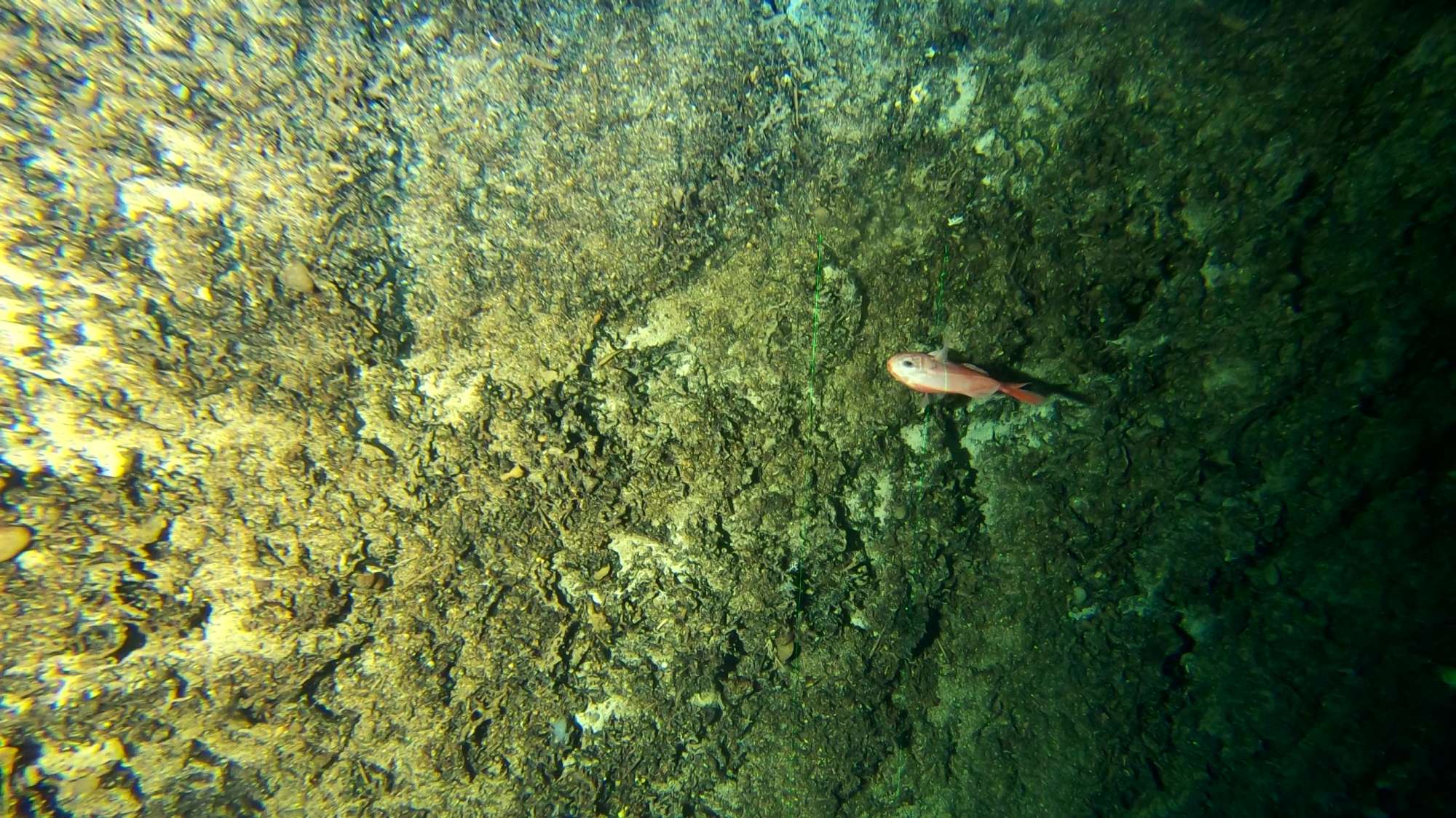
Images


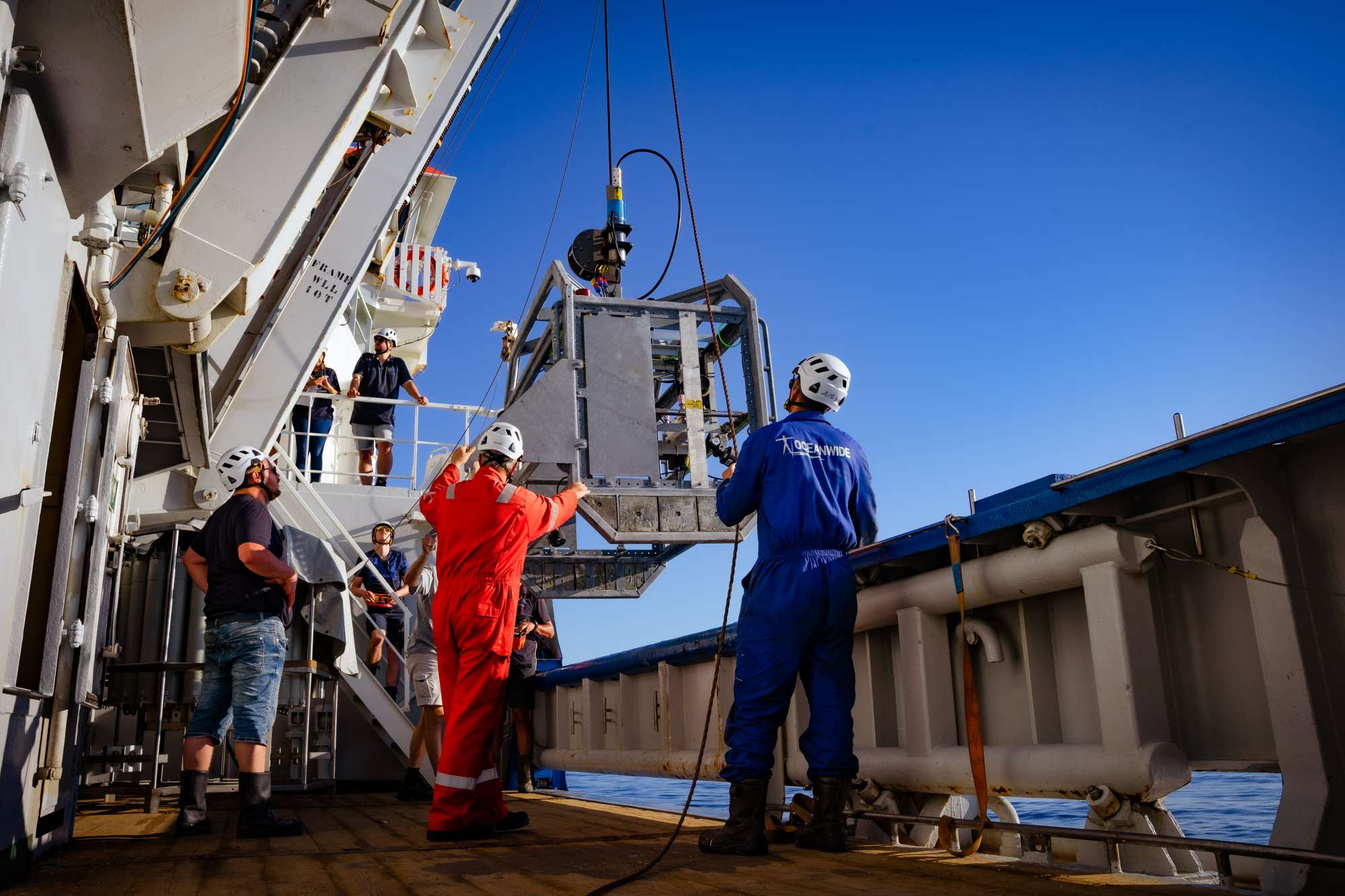
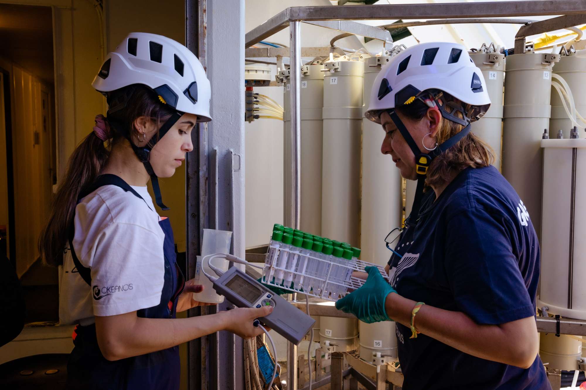

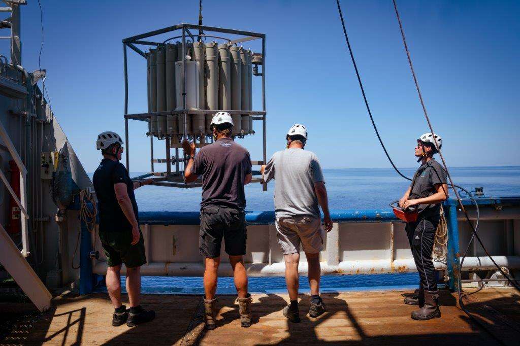
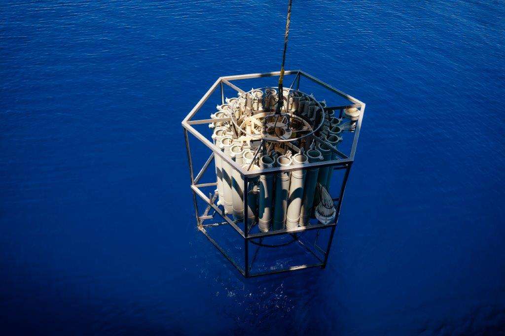
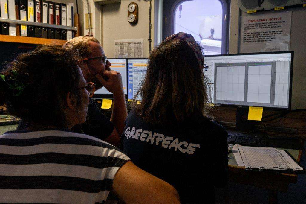
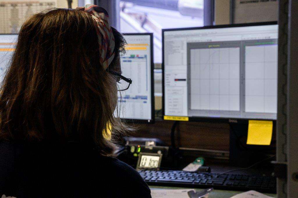
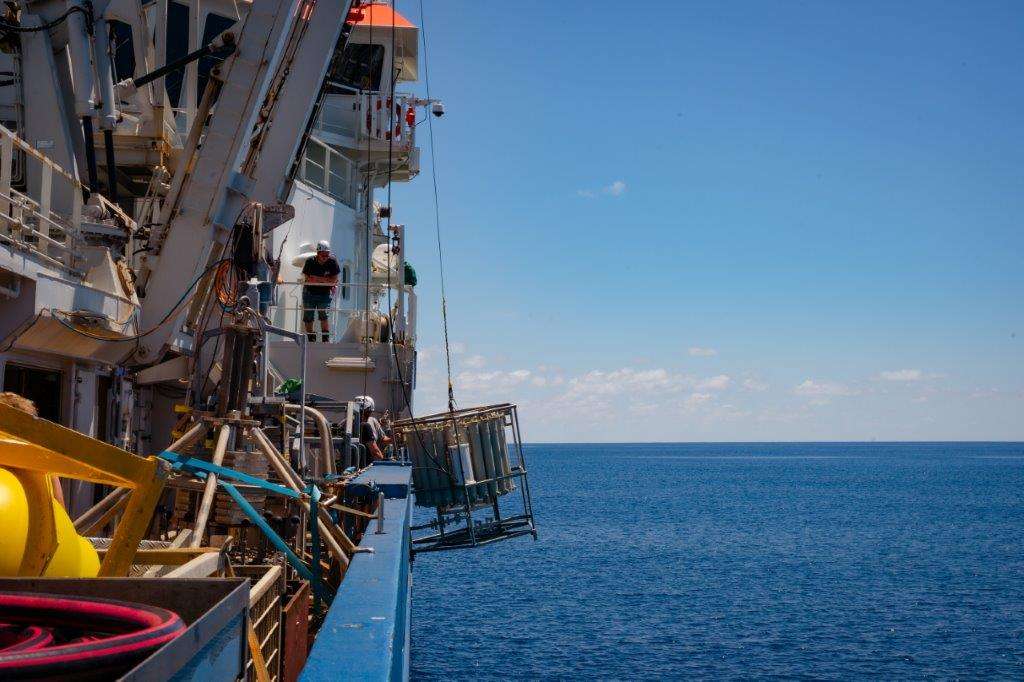
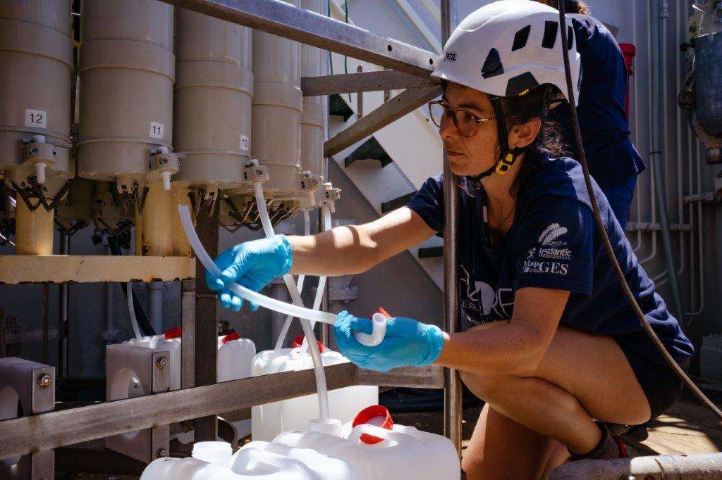

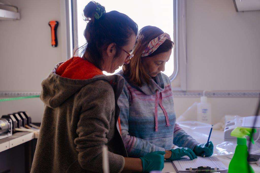
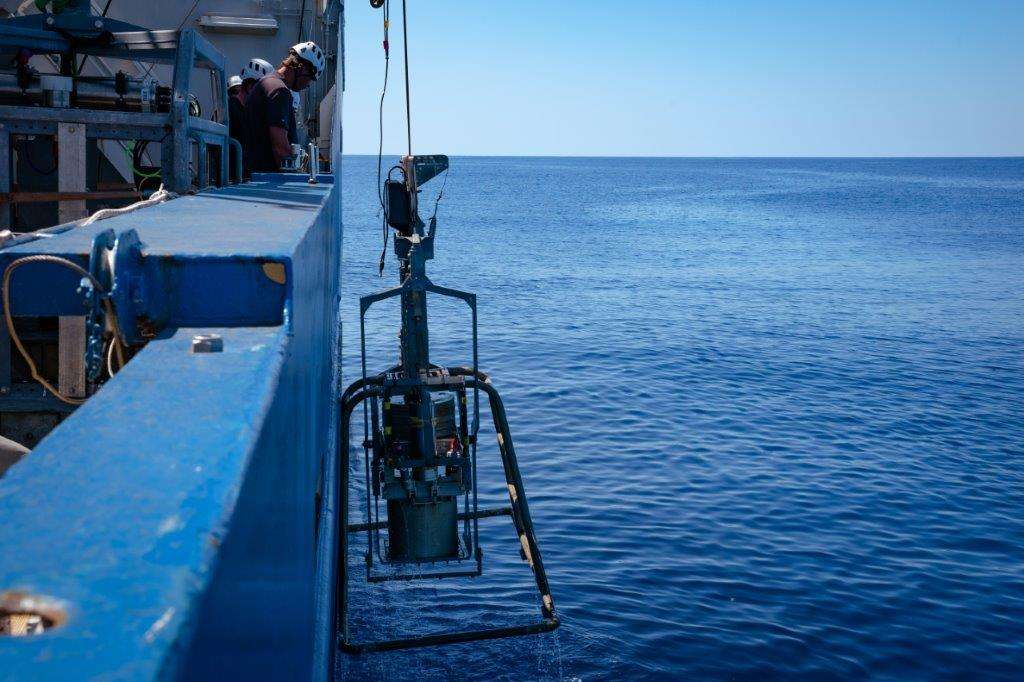
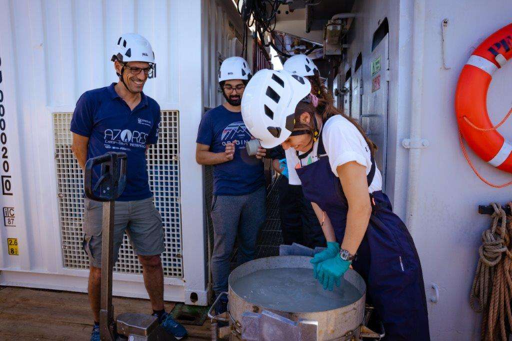
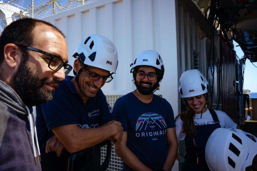
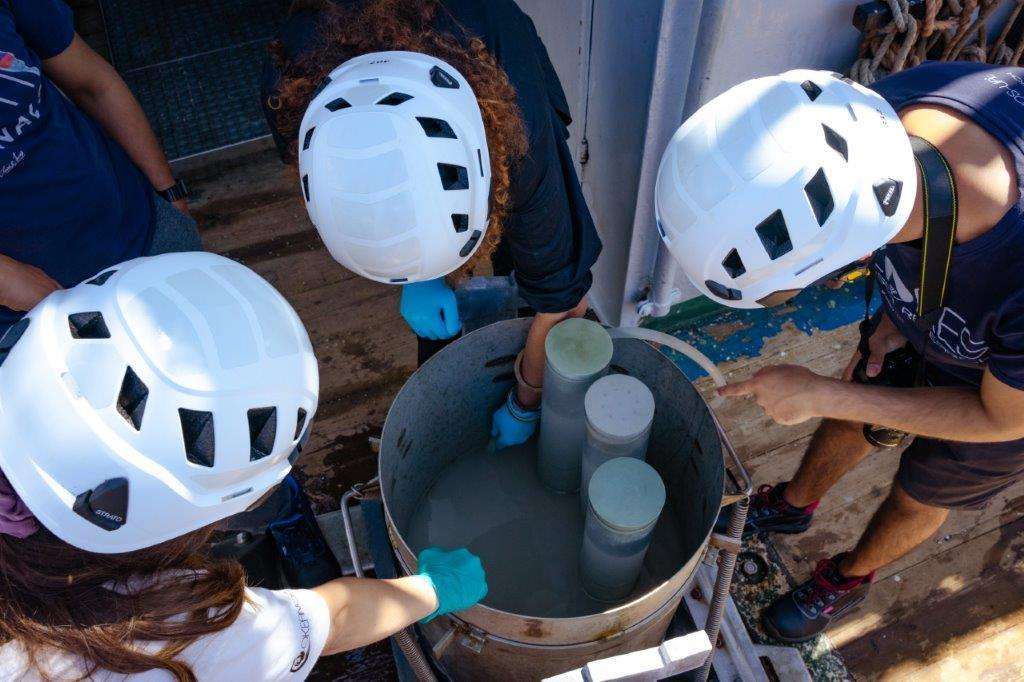

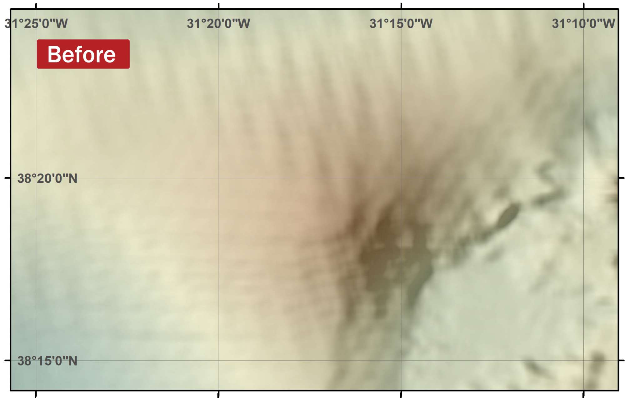

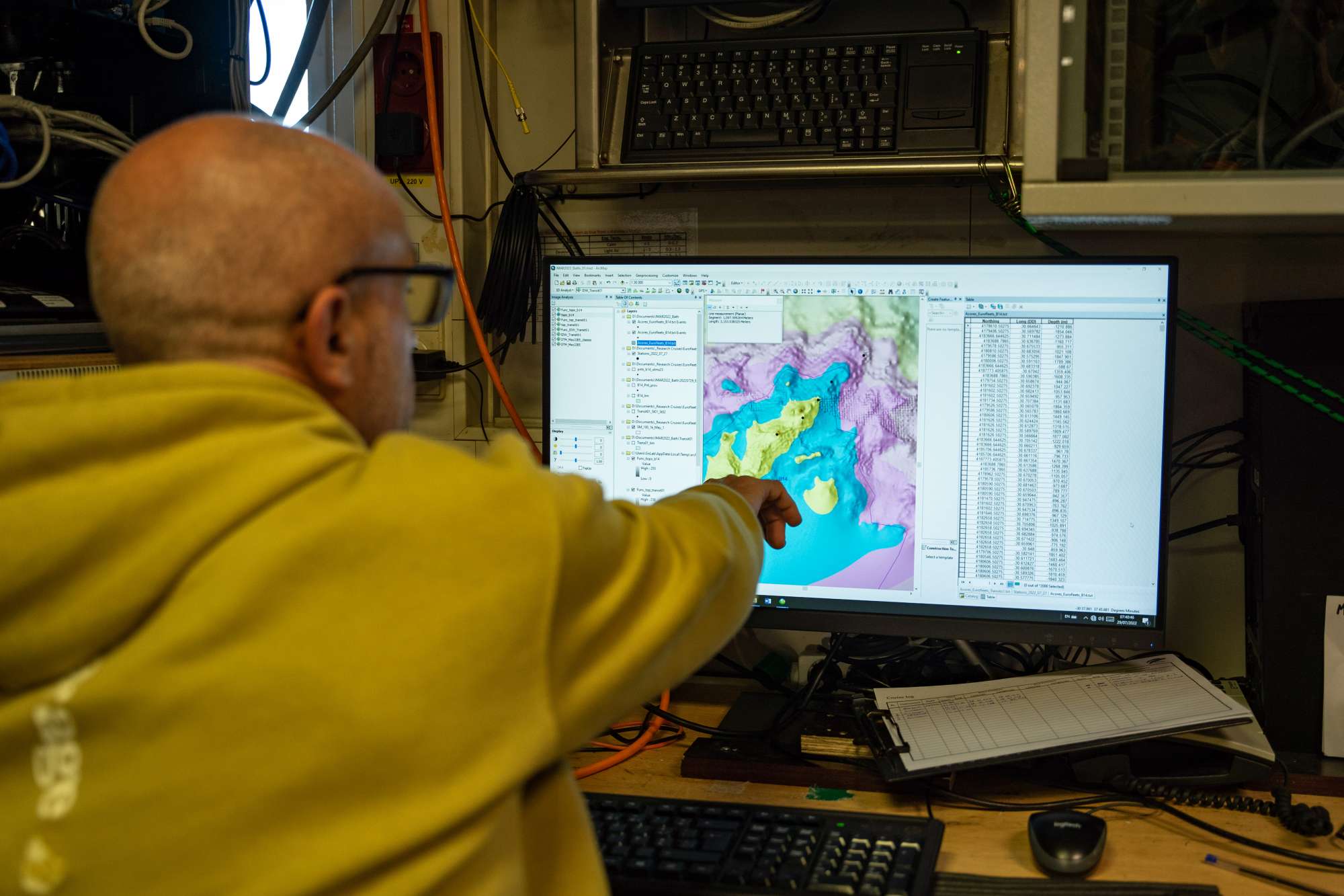
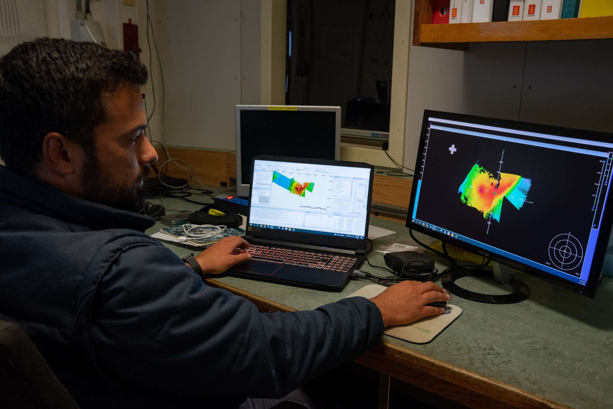
Dives images


Location
Departamento de Oceanografia e Pescas — Universidade dos Açores
Rua Prof. Doutor Frederico Machado, No. 4
9901-862 Horta, Portugal
Contact
Email: azoresdeepsea@gmail.com
AZORES DEEP-SEA RESEARCH © 2020-2026 — RELEASE 2.1
 VALTER MEDEIROS