AZORES
DEEP-SEA RESEARCH © CRUISES
Stations
MapGES 2025 RV Arquipélago
Loading…
MapGES 2025 RV Arquipélago
Mapping deep-sea biodiversity and “Good Environmental Status” in the Azores
MapGES 2025 RV Arquipélago
Loading cruise data…
Mapping deep-sea biodiversity and “Good Environmental Status” in the Azores
Location: Pico Sul, Mar da Prata S, Heitor Àlvares, Alcatraz, Dom João de Castro, Ferradura E, Beta, Beta W, Buchanan N, Fantas, A13, Menez Gwen, Picoto, Alfa profundo, Alfa, Alfa E.
Year: 2025
55 stations
55 dives
1836 km transits
16 areas visited
Summary
Mapping deep-sea biodiversity and “Good Environmental Status” in the Azores
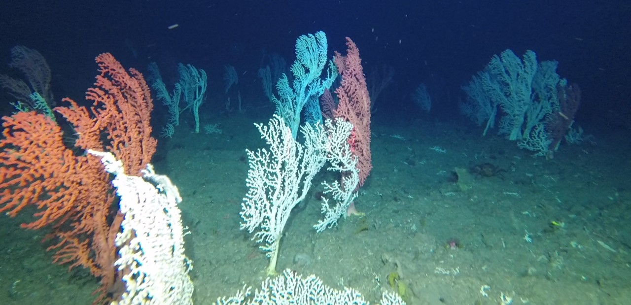
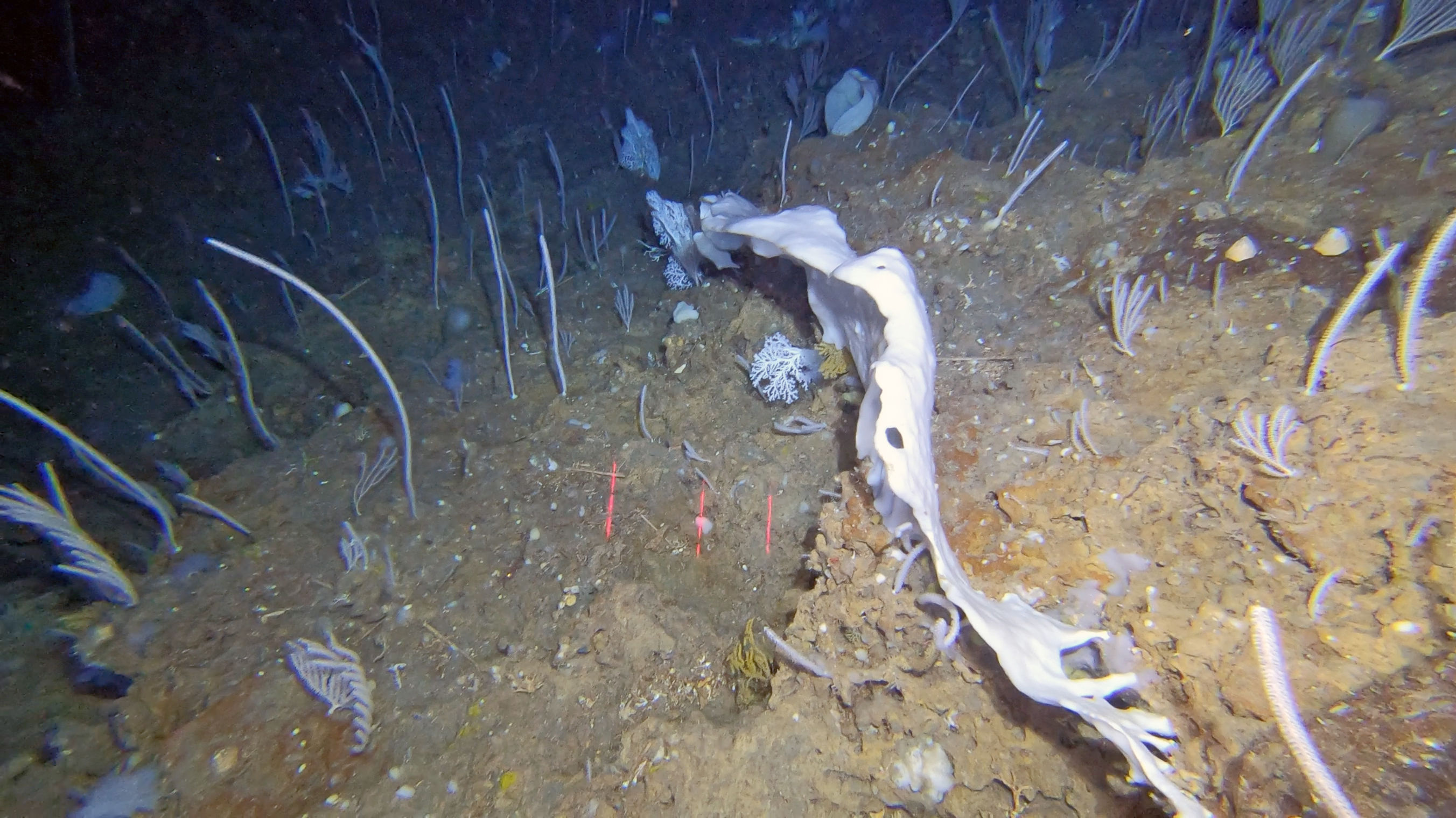
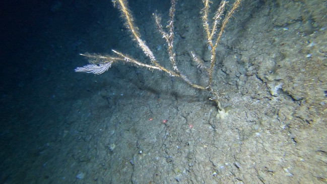
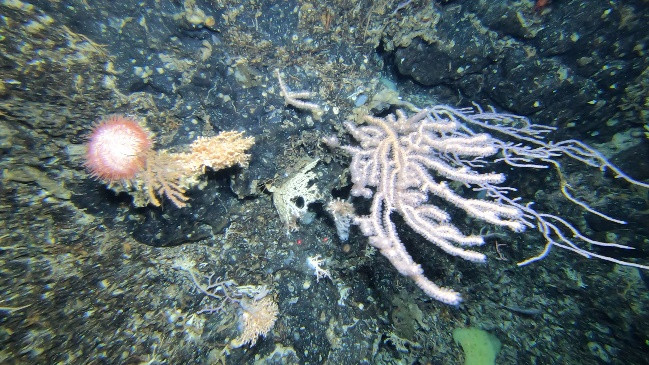
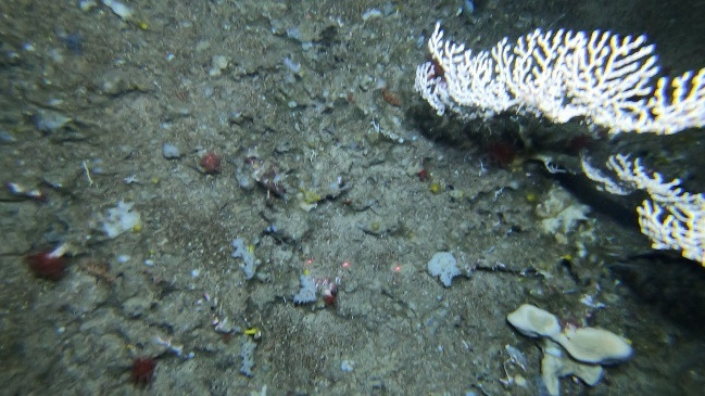
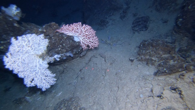
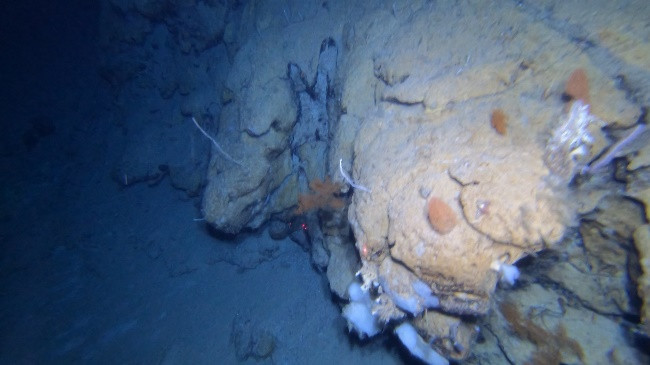
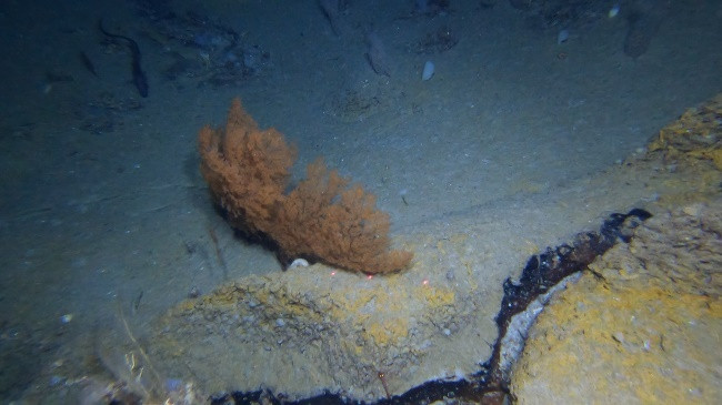
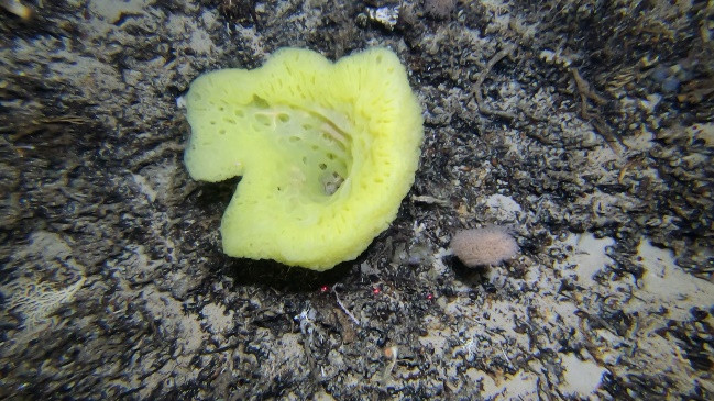
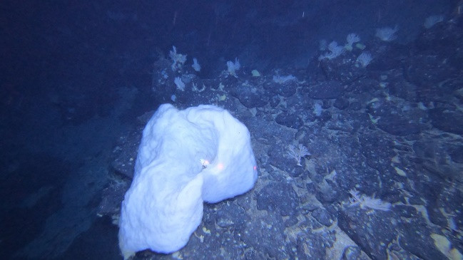
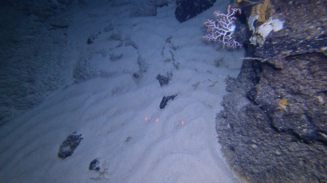
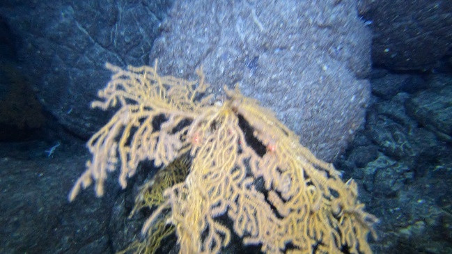
The MapGES 2025 cruise aboard RV Arquipélago consisted of 2 legs and aimed at exploring and revisiting banks, ridges, and seamounts on the south limit of the EEZ of the Azores, south of São Miguel in Mar da Prata, East of Terceira Island and in the Mid-Atlantic ridge. We spent only 16 full workdays at sea, compared to the 34 initially planned, which forced us to reprioritize and exclude several objectives. Exploration of seamounts along the Mid-Atlantic ridge and additional areas around Pico and São Miguel had to be cancelled, reducing the cruise’s scope. Further delays arose from technical and mechanical issues beyond the team’s control. A total of 55 successful dives were conducted out of 56 planned, covering 16 sampling areas. During Leg 1, from the 16th to 24th of August, we performed 23 successful dives with the Azor drift-cam. These first deployments surveyed the deep-sea benthic communities dwelling on the slopes of the geomorphological structures at the southern limit of the EEZ (Pico Sul), in the southern area of Mar da Prata and in structures located east of Terceira Island (Heitor Álvares, Alcatraz and Dom João de Castro). This first leg aimed to complete surveys in areas long on our priority list, while also exploring two previously unsampled sites: Pico Sul, located about 230 nm south of Faial Island, and Heitor Álvares. During Leg 2, from 27th August to 5th September, a total of 32 successful dives were conducted with the Azor drift-cam. This Leg aimed at exploring seamounts along the Mid-Atlantic ridge and adjacent areas, some visited for the first time, others revisited to complement earlier surveys. A major objective of this year’s cruise was to assess potential faunal differences between an isolated, deep seamount (Pico Sul) and other sites already studied. Fauna at Pico Sul proved sparse and of low density. By contrast, the eastern peaks of the Alcatraz structure hosted particularly interesting assemblages, with several individuals of the black coral Leiopathes expansa, the rarely recorded glass sponge Asconema cf. setubalense, and multiple specimens of the sponge Hertwigia falcifera. Similar to recent observations from the northern Mar da Prata sectors, assemblages of a seemingly shallow morphotype of Candidella imbricata were recorded, possibly indicating a wide distribution of this species across the entire geomorphological complex. The shallow dives conducted in Dom João de Castro showed extensive and dense coral gardens essentially composed by Viminella flagellum, Dentomuricea aff. meteor and Callogorgia verticillata. We also explored and revisited several Azorean seamounts along the Mid-Atlantic Ridge, documenting unexpected biodiversity and novel records for us. At Ferradura E, we recorded one of the densest aggregations of Hertwigia falcifera recorded in the region and vast ridges dominated by Narella spp. with frequent colonies of black corals Leiopathes expansa. At the newly named Fantas seamount, we observed a possible first Azorean record of a Mid-Atlantic skate Rajella cf. kukujevi. At Menez Gwen, long drift-cam transects revealed recent pillow lavas colonized by large Leiopathes expansa and Placogorgia sp. Picoto seamount hosted one of the largest aggregations of Acanella arbuscula and Chrysogorgia sp. recorded in the region, while Alfa seamount hosted impressive Paragorgia johnsoni “forests” and diverse associated fauna.
MapGES 2025 is the continuation of our long-term strategy to map deep-sea biodiversity and identify Vulnerable Marine Ecosystems (VMEs) in the Azores using the Azor drift-cam system. This cruise was the continuation of the collaboration with the Government of the Autonomous Region of the Azores, through the Regional Directorate for Maritime Policies (DRPM) of the Regional Secretariat for Sea and Fisheries (SRMP) and the Gaspar Frutuoso Foundation (FGF). It benefits from funding from the European Union under the operation "ACORES-14-62G4-FEDER-000001 - Filling gaps in the characterization of maritime space", within the scope of the reprogramming of the Azores 2020 Operational Program (PO Açores 2020), by incorporating the Recovery assistance for cohesion and the territories of Europe programme (REACT-EU) and by the European Regional Development Fund (ERDF). In this cruise, we operated, once again, from the RV Arquipélago and planned to visit some unexplored areas on the southern limit of the Azores EEZ, eastern of Terceira Island and along the Mid-Atlantic ridge and adjacent areas, and to expand into deeper waters the previous explorations. During the leg 1 of this cruise we visited the following areas: Pico Sul, Mar da Prata S, Heitor Álvares, Alcatraz and Dom João de Castro. During the leg 2 of this cruise we visited the following areas: Ferradura E, Beta, Beta W, Buchanan N, Fantas, A13, Menez Gwen, Picoto, Alfa profundo, Alfa and Alfa E. As in other MapGES cruises, the objectives were to (i) map benthic communities inhabiting unexplored seamounts, ridges, and island slopes, (ii) identify new areas that fit the FAO Vulnerable Marine Ecosystem definition, and (iii) determine distribution patterns of deep-sea benthic biodiversity in the Azores. The results of this cruise added to the previous contributions to identify the environmental drivers that determine the spatial distribution of deep-sea benthic biodiversity in the Azores. It also provides valuable information in the context of Good Environmental Status (GES), Marine Spatial Planning (MSP) and new insights on how to sustainably manage deep-sea ecosystems.
Statistics
Highlights
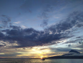
Location of operation
Pico Sul, Mar da Prata S, Heitor Àlvares, Alcatraz, Dom João de Castro, Ferradura E, Beta, Beta W, Buchanan N, Fantas, A13, Menez Gwen, Picoto, Alfa profundo, Alfa, Alfa E.
Stations
MapGES 2025 RV Arquipélago
| Leg | Period | Days at sea | Vessel | Departure | Return |
|---|---|---|---|---|---|
| 1 | 16/08/2025 - 24/08/2025 | 9 | RV Arquipelago | Horta | Horta |
| 2 | 28/08/2025 - 04/09/2025 | 8 | RV Arquipelago | Horta | Horta |
A total of 17 days at sea
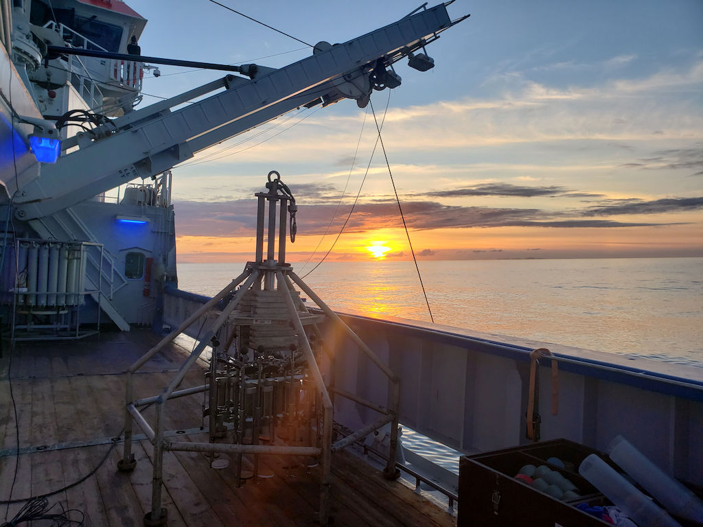
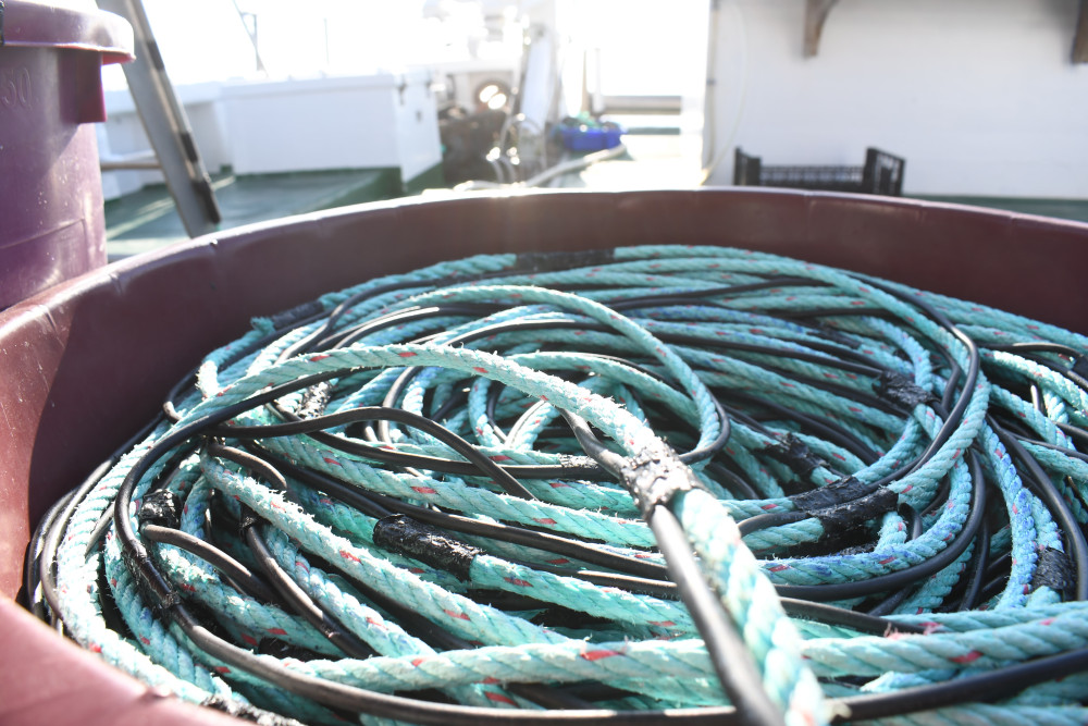
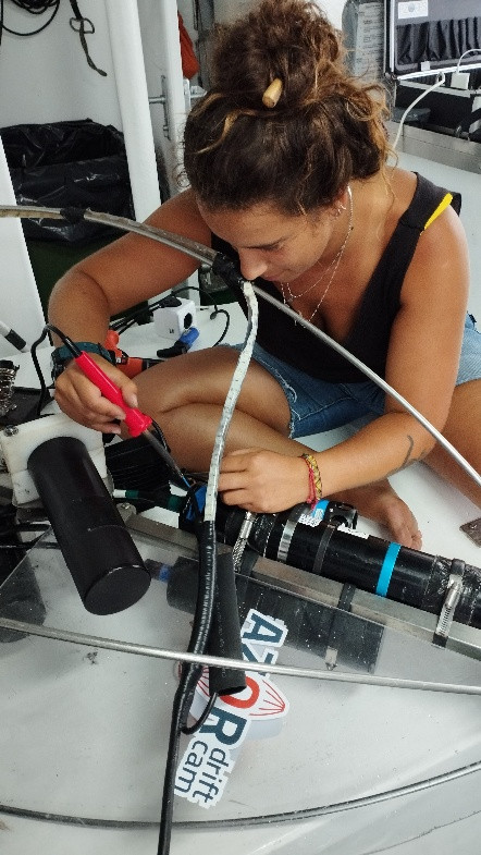
Activities
Funding
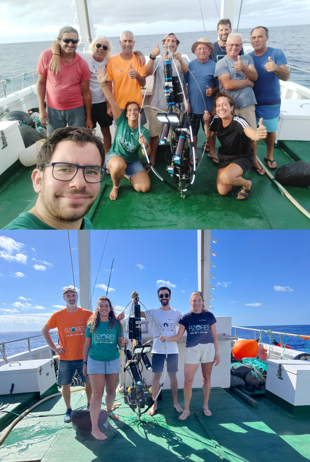
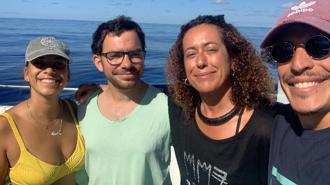
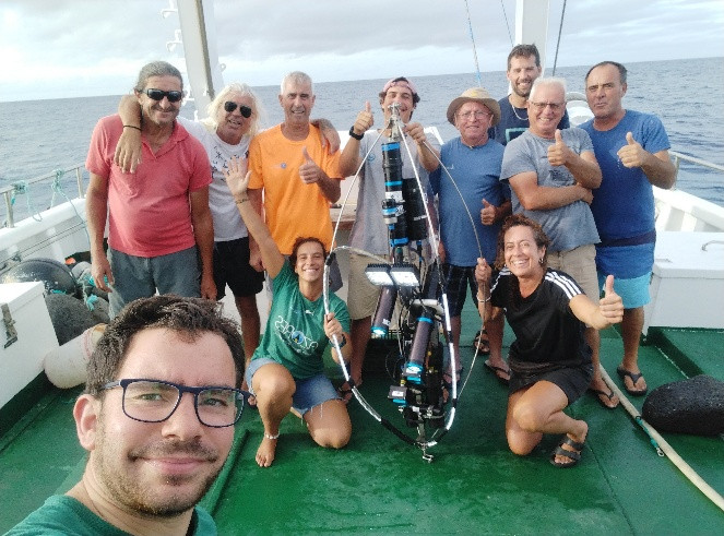
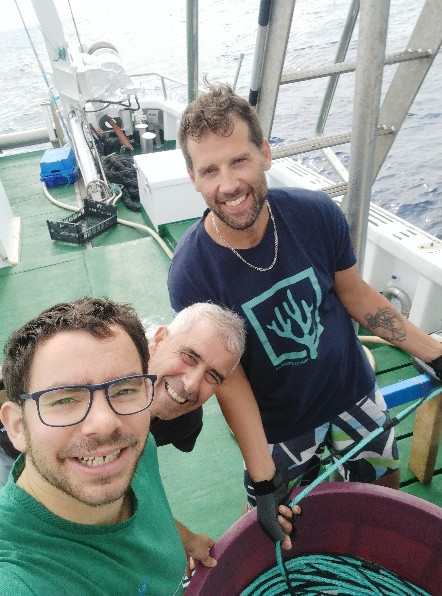
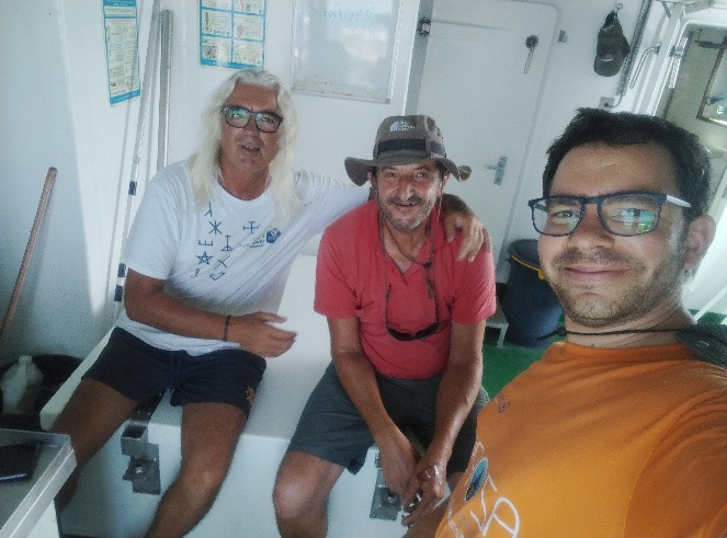
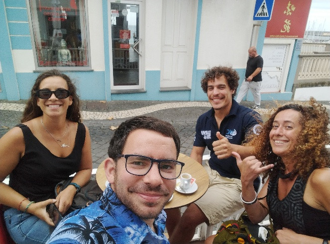
Cruise crew
Chief scientist
Scientific crew
Carlos Dominguez-Carrió

Guilherme Gonçalves

Inês Correia Bruno
João Balsa
Luís Rodrigues
Manuela Ramos
Marc Pladevall
Collaborators
Images
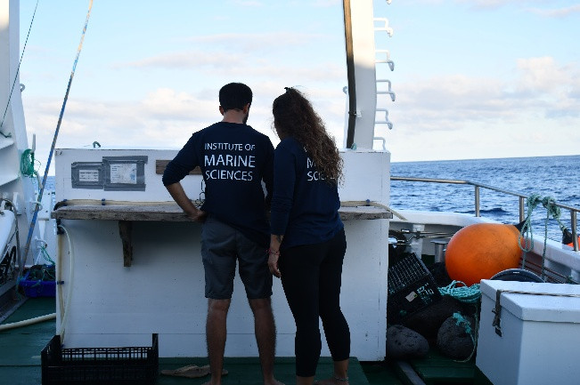
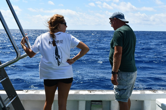
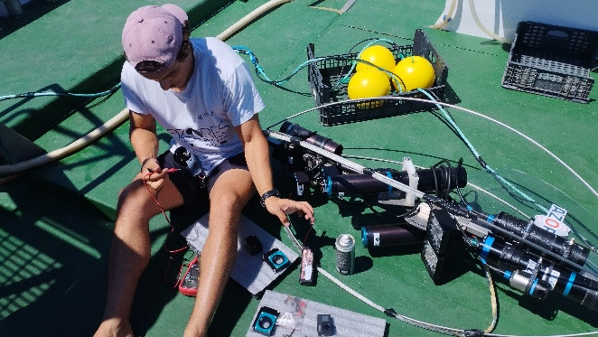
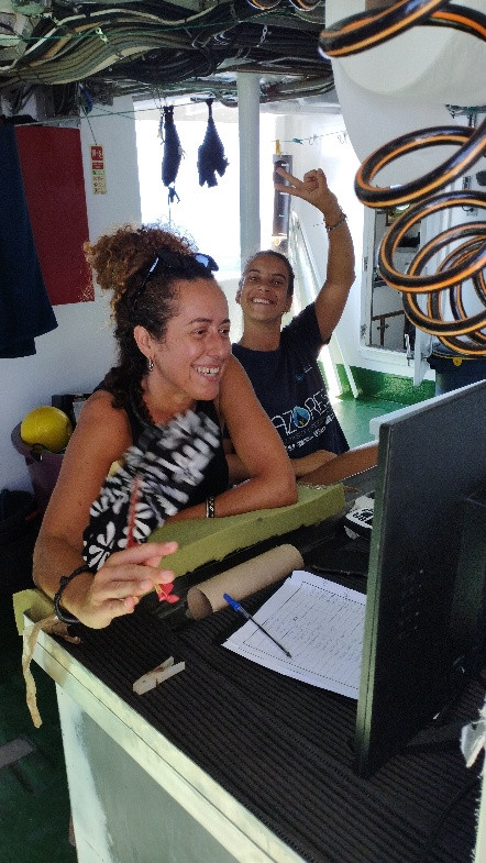
Dives images


Location
Departamento de Oceanografia e Pescas — Universidade dos Açores
Rua Prof. Doutor Frederico Machado, No. 4
9901-862 Horta, Portugal
Contact
Email: azoresdeepsea@gmail.com
AZORES DEEP-SEA RESEARCH © 2020-2026 — RELEASE 2.1
 VALTER MEDEIROS