- New multibeam bathymetry data has been compiled and added to the ADSR database from recent oceanographic surveys recently carried out in the Azores EEZ. New data has increased the area of fine-scale seabed bathymetry data.
- New specimens have been added, together with relevant information about their taxonomy and biogeography to “Coleta” database; the most representative collection of Azorean benthic biodiversity currently stored at IMAR. The species database currently holds 10,299 entries, 23% of which correspond to coral species.
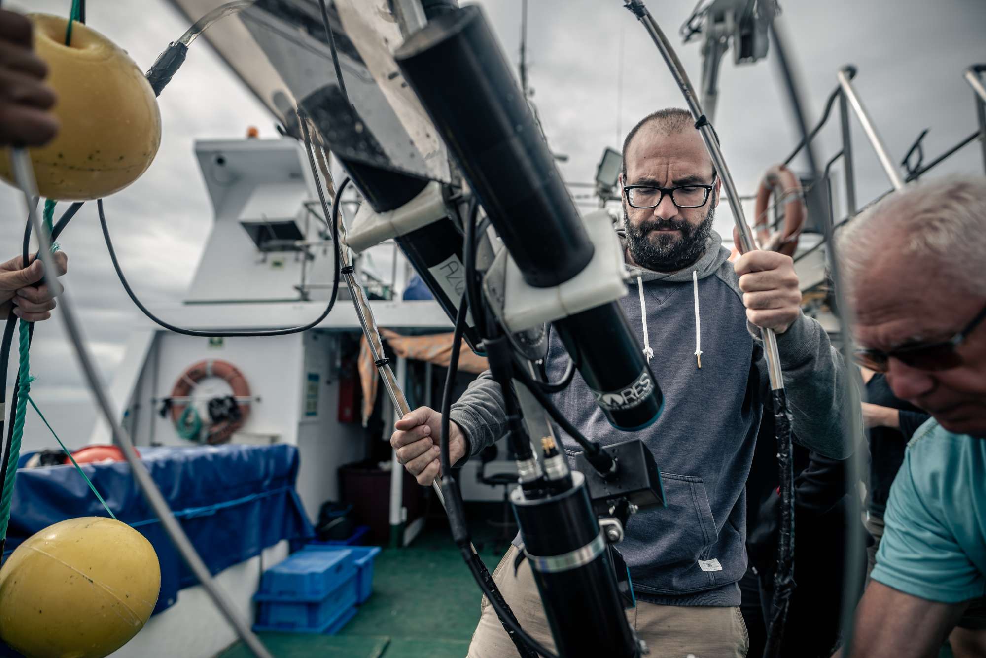
- MapGES had the vision to develop a low-cost imagery system for rapid appraisals of the deep sea. The Azor drift-cam was born in 2019, providing the possibility of exploring the slopes and summits of shallow seamounts and ridges, as well as shelf areas around the islands, without the need of large oceanographic vessels and high budgets. During the MapGES project, the Azor drift-cam has been successfully deployed over 160 times, covering almost 100 linear km of the seabed and has generated more than 120 hours of seafloor images.
- Deep-sea discoveries: The Azores region was found to harbour particularly diverse coral gardens, forming at least seven distinct coral garden communities dominated by different species of octocorals discovered during ATLAS/MapGES cruises. Both historical and new knowledge generated during ATLAS/MapGES have demonstrated the Azores as a hotspot of CWC diversity, representing the highest species richness known of Octocorallia in Europe and in any of the North Atlantic archipelagos. ATLAS/MapGES also contributed to the identification of several new species to science.
- New hydrothermal vent discovered: A new hydrothermal vent field was discovered on the slopes of Gigante, a seamount on the Mid-Atlantic Ridge in the seas of the Azores. This system differs considerably from other known hydrothermal fields along the MAR in terms of fluid chemistry with dominance of hydrogen and iron, and low temperature. The ‘Luso’ hydrothermal vent field was declared as No Fishing Area in 2019 (Portaria no. 68/2019).
- New areas that fit the Vulnerable Marine ecosystem criteria: Eight areas in the Azores were identified as VMEs composed of diverse coral gardens, deep-sea sponge aggregations and hydrothermal Vent. These were Cavalo Seamount, a ridge on the Mid-Atlantic Ridge, Gigante Seamount, Condor Seamount, Dom João de Castro Seamount, and Mar de Prata Seamount because of various coral gardens; the South of Pico Island because of a deep-sea sponge aggregation of Pheronema carpenter; and the newly discovered Hydrothermal Vent Luso.
- Predicted distribution: Habitat suitability models developed for 13 vulnerable marine ecosystems indicator taxa in the Azores EEZ, showed a strong association of the predicted distribution of CWC taxa with areas of local relief, being them island shelves or slopes, ridges or seamounts. However, even among areas of similar depths, models discriminated between suitable and unsuitable zones showing that model outputs were not exclusively driven by depth correlated changes in environmental predictors.
- Impact of climate change on food supply and survival of deep-sea ecosystems: Results from a series of ATLAS experiments on the physiology of cold-water corals and deep-water sponges revealed that cumulative effects of climate change on food supply and ocean acidification impact the distribution and function of corals. This work highlighted that, as a result of climate change, predicted decreases in food availability and responses to ocean acidification will likely impact long-term growth and life cycles of corals. A better understanding of the interactive effects of climate change on deep-sea ecosystems supports accurate monitoring, modelling and future predictions.
- Predictive maps for future habitat suitability: ATLAS/MapGES have modelled and developed predictive maps of habitat suitability for six cold-water coral and six deep-sea fish species under current conditions and forecast changes under future projected high-emission climate conditions for the whole North Atlantic Ocean. The results forecasted that over 50% of cold-water coral habitats could be at risk, and suitable habitats for commercially important deep-sea fish could shift by up to 100 km northwards. This work has important implications for the designation of effective area-based conservation measures and adaptive management strategies.
- Good Environmental Status in the deep-sea: ATLAS/MapGES participated in a preliminary assessment of the environmental status of selected North Atlantic deep-sea ecosystems. We suggested that the low availability of long-term data sets limits our knowledge about natural variability and human impacts in the deep sea preventing a more systematic assessment of habitat and ecosystem components in the deep sea.
- An index to identify biodiversity hotspots: ATLAS/MapGES developed a novel multi-criteria assessment method to more objectively identify Vulnerable Marine Ecosystems (VMEs) in the North-East Atlantic Ocean, often biodiversity hotspots. The method evaluates how likely a given area of seafloor is to represent a VME, providing a more systematic and standardised approach (robust and repeatable numeric method) for assessing and identifying VME regions in the North-East Atlantic Ocean.
- ATLAS/MapGES developed systematic conservation planning approaches to support area-based management plans in the Azores and in the North Atlantic Ocean.


