AZORES
DEEP-SEA RESEARCH © CRUISES
Stations
MapGES 2024 RV Arquipélago
Loading…
MapGES 2024 RV Arquipélago
Mapping deep-sea biodiversity and “Good Environmental Status” in the Azores
MapGES 2024 RV Arquipélago
Loading cruise data…
Mapping deep-sea biodiversity and “Good Environmental Status” in the Azores
Location: Príncipe Alberto do Mónaco Ridge; Princesa Alice (Central Azores)
Year: 2024
145 stations
145 dives
1965 km transits
20 areas visited
Summary
Mapping deep-sea biodiversity and “Good Environmental Status” in the Azores
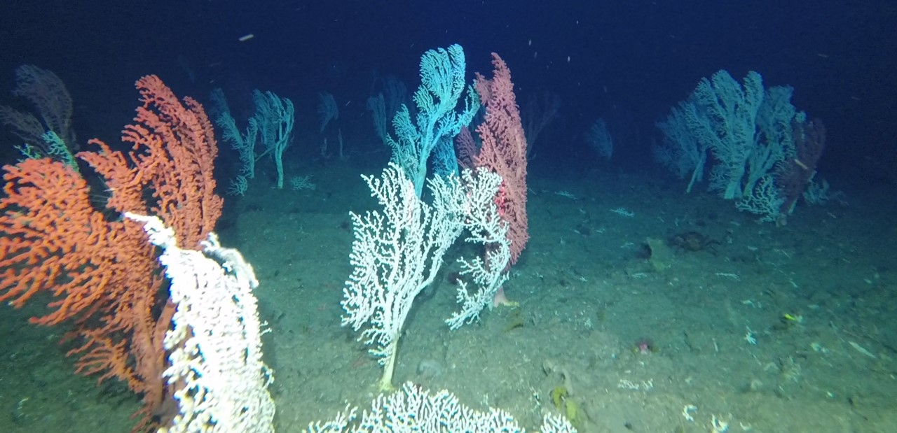
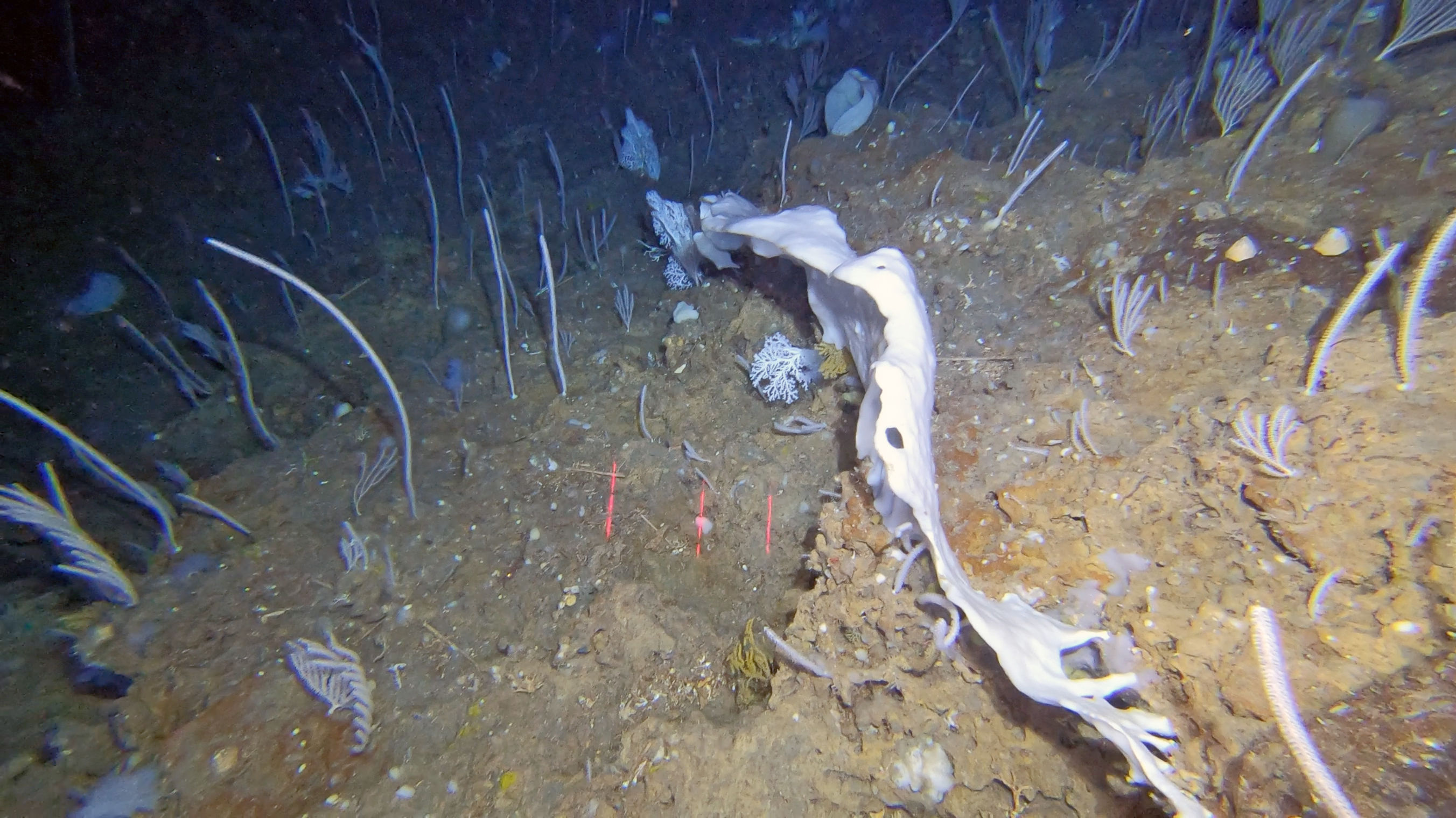
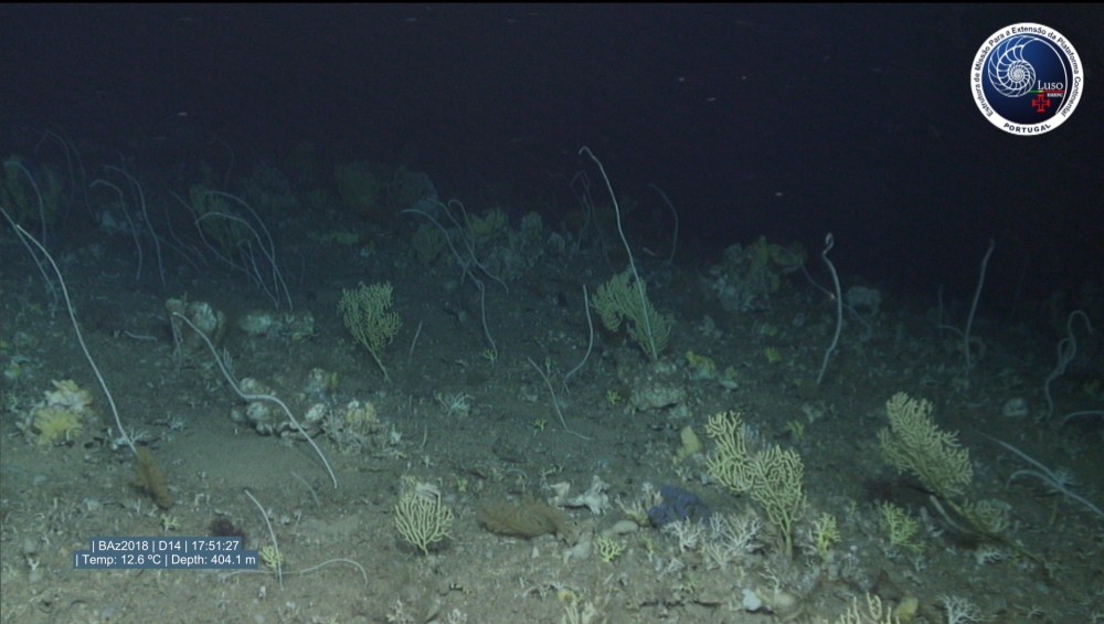
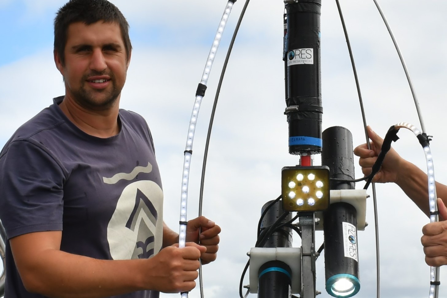
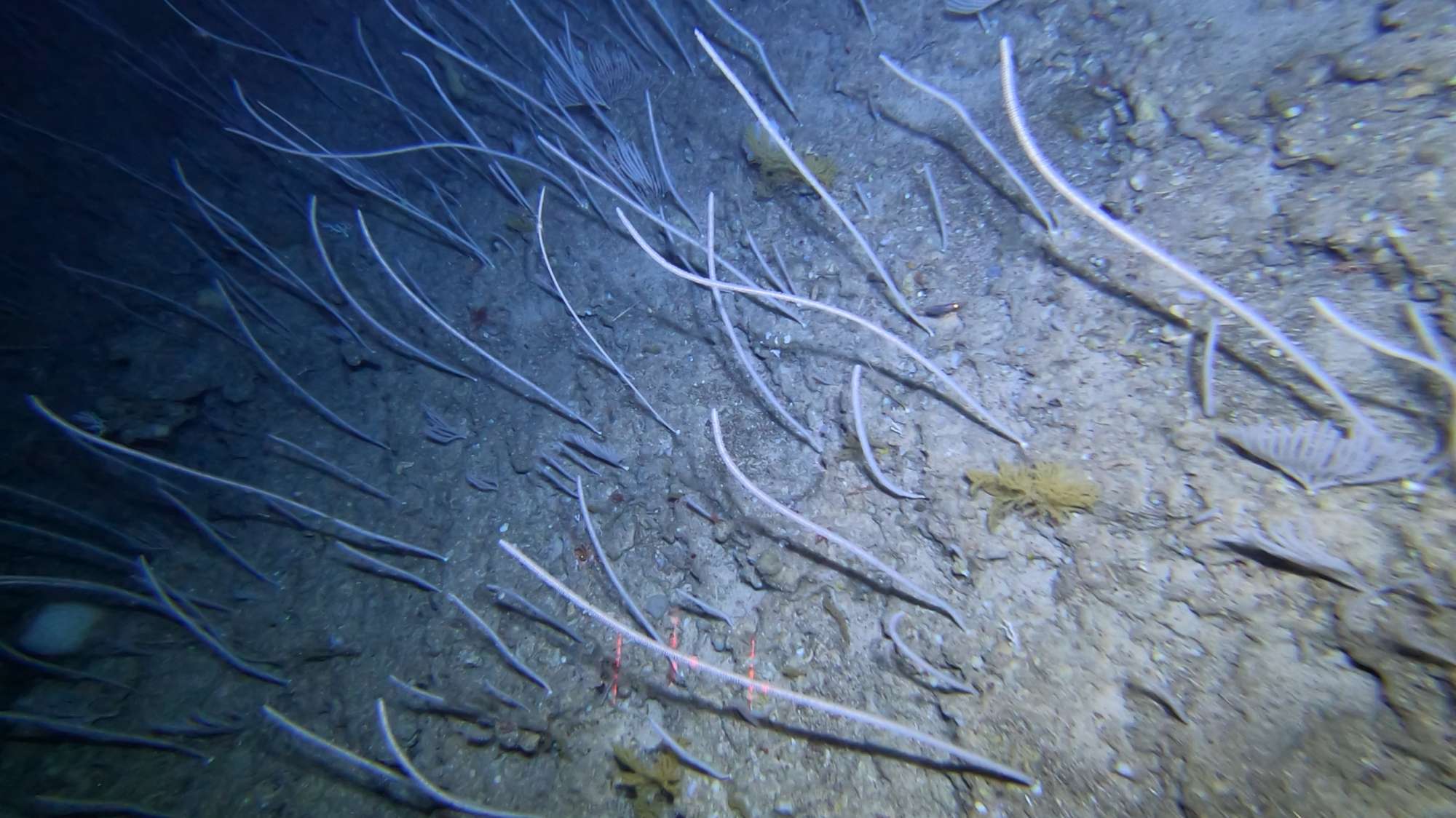
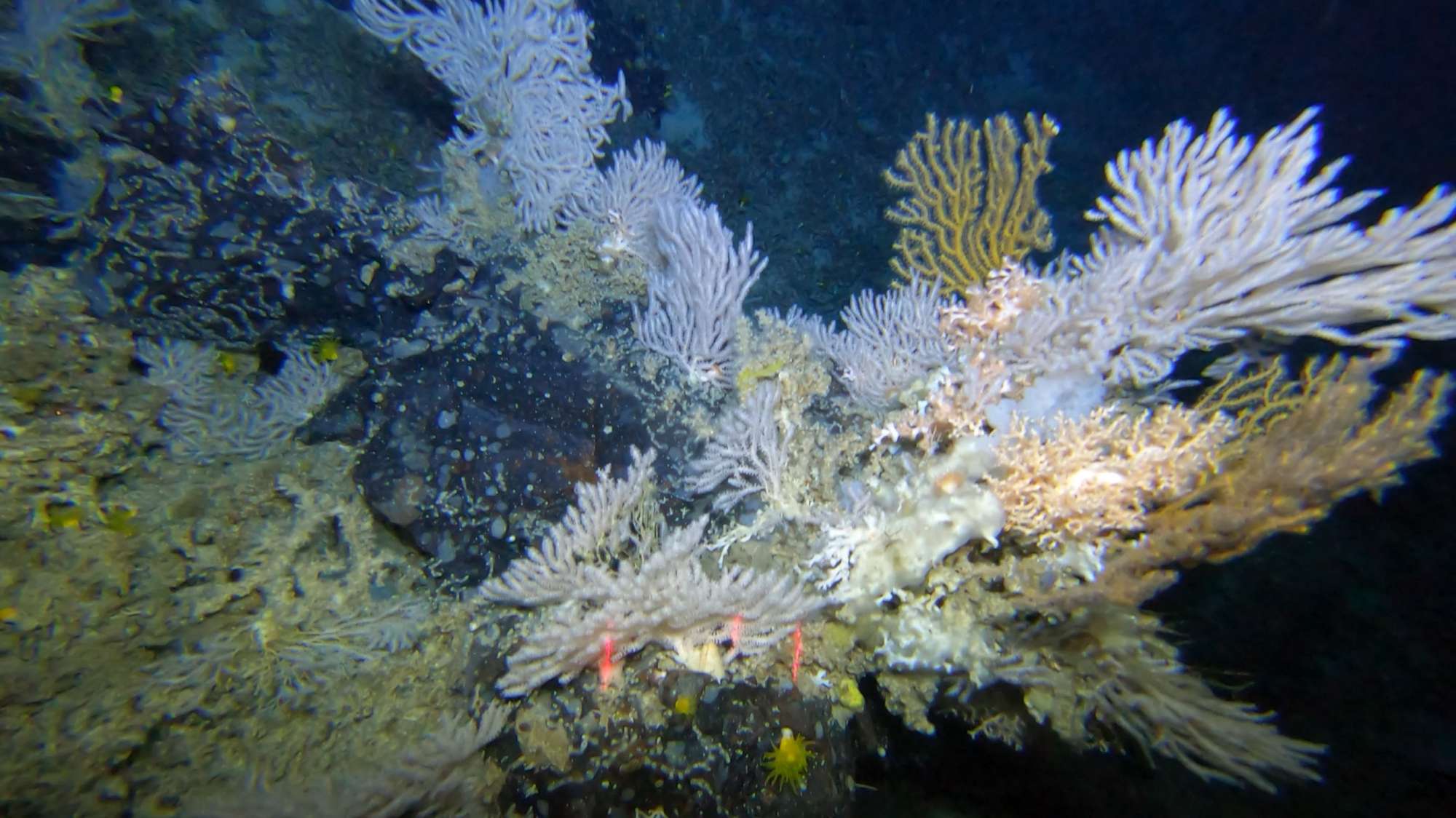
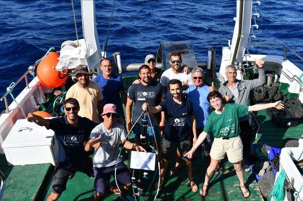
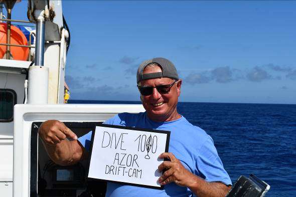
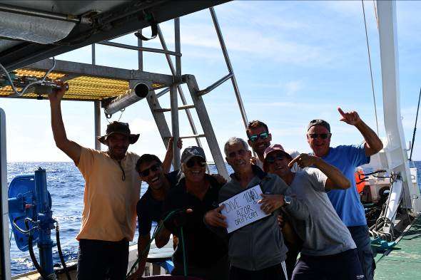
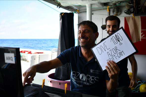
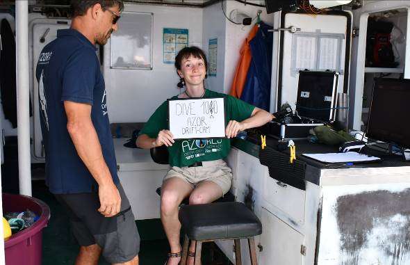
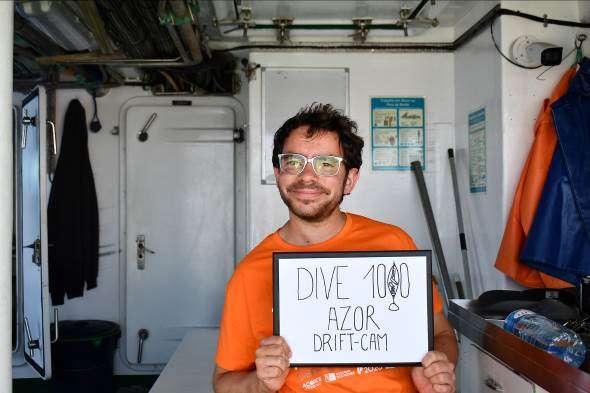
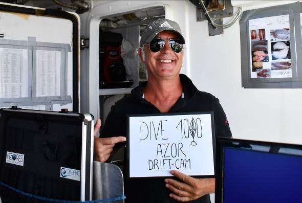
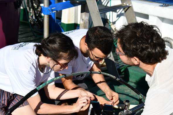
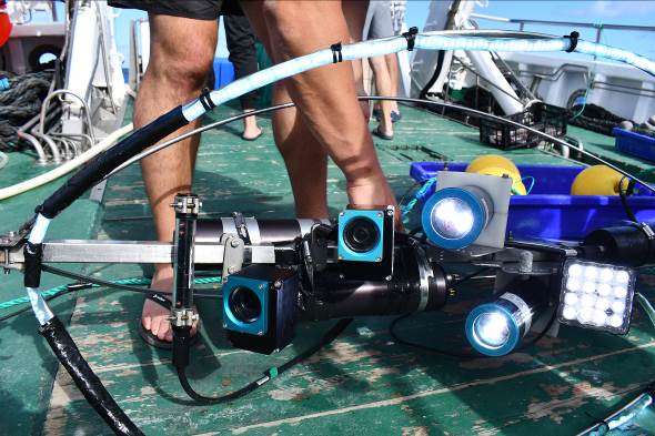
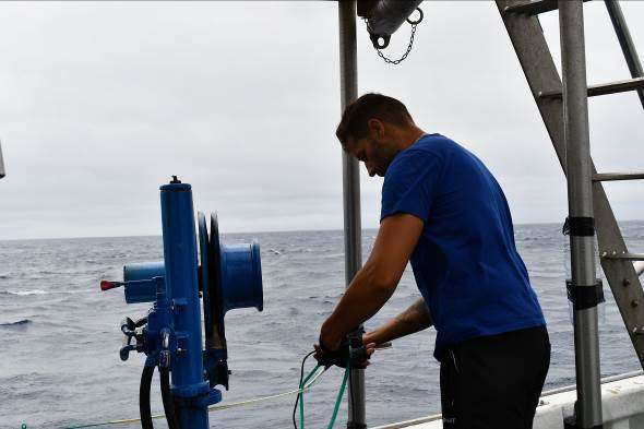
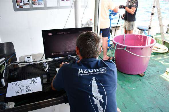
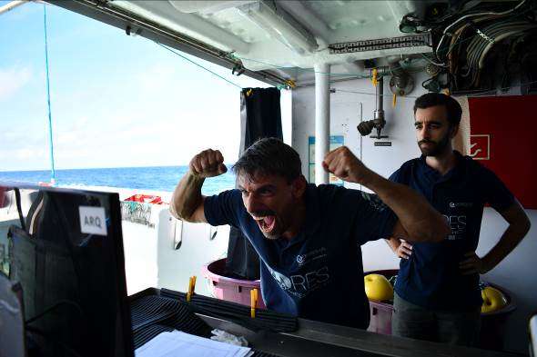
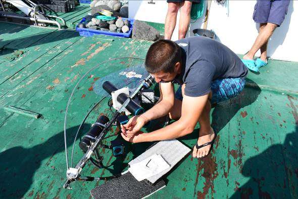
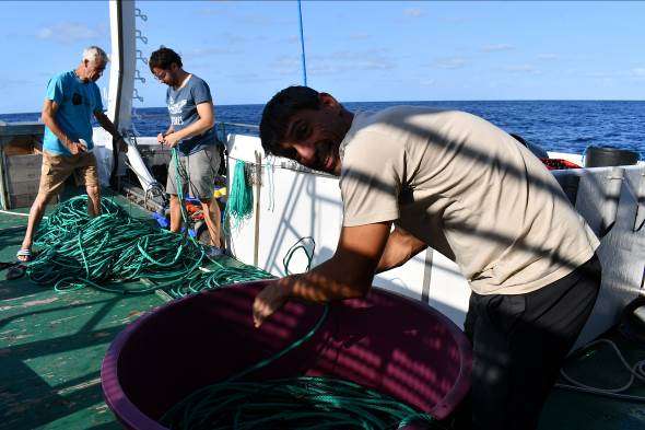
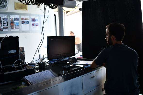
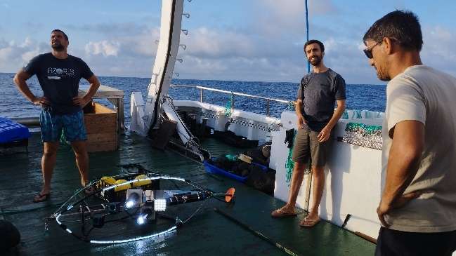
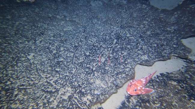
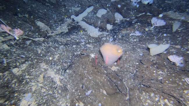
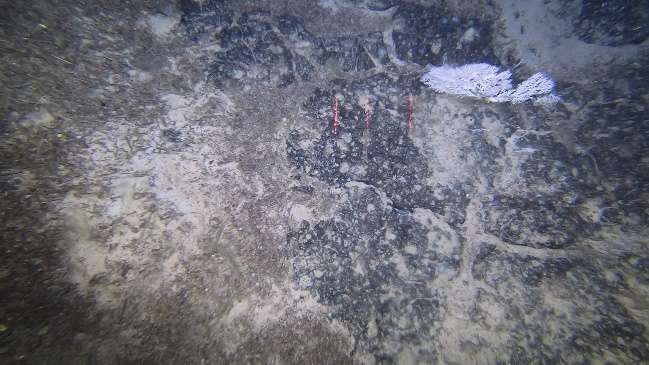
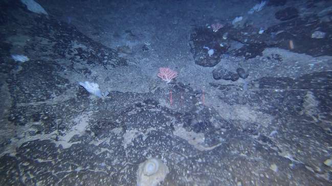
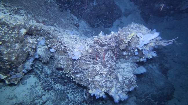
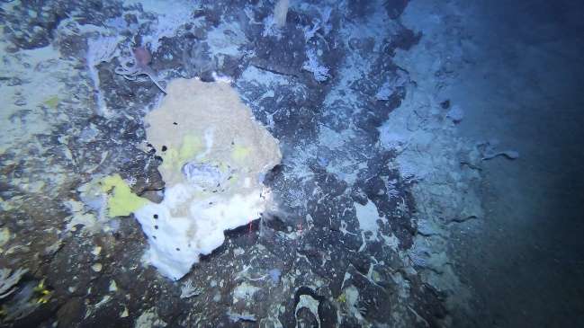
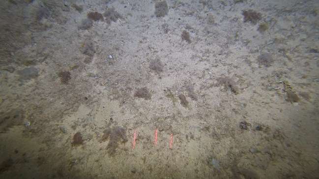
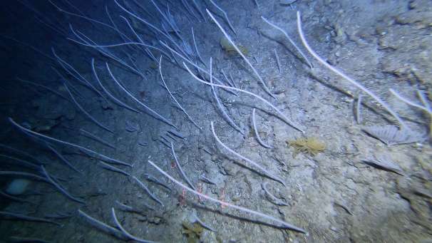
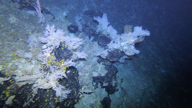
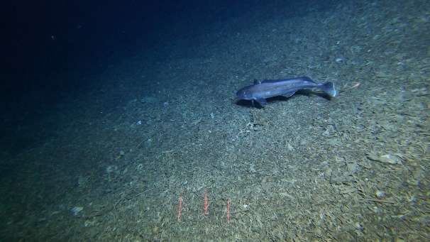
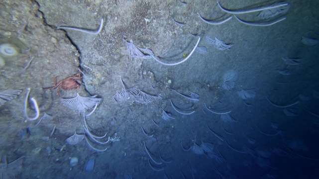
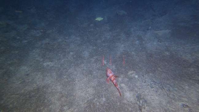
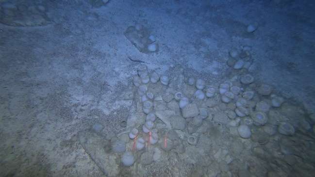
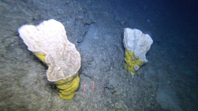
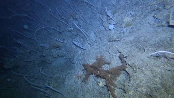
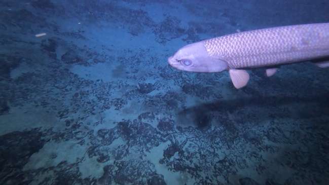
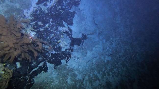
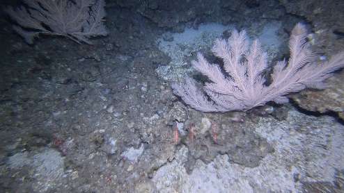
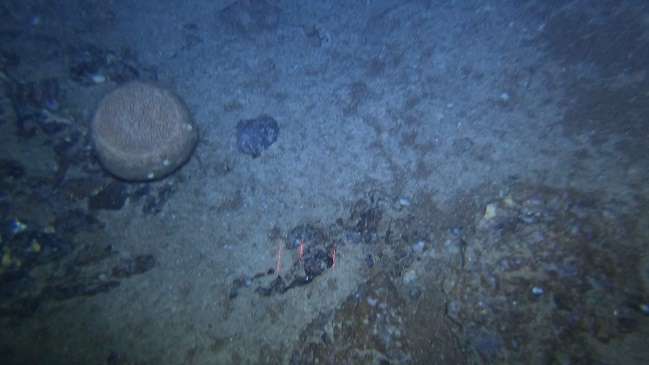
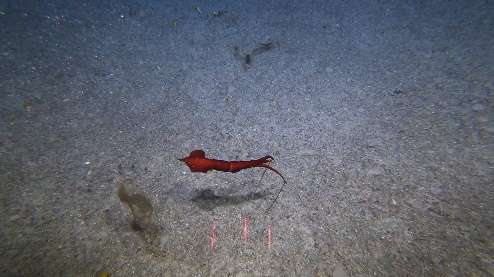
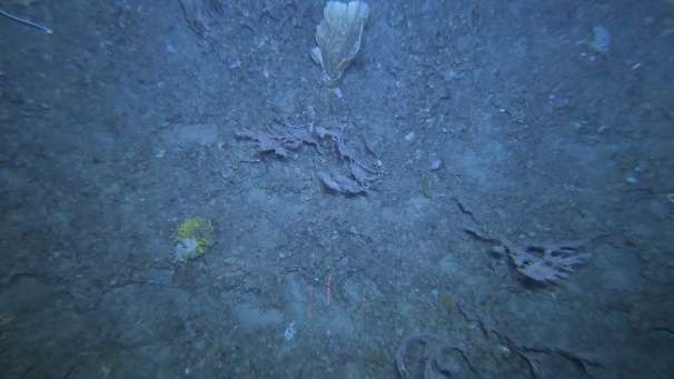
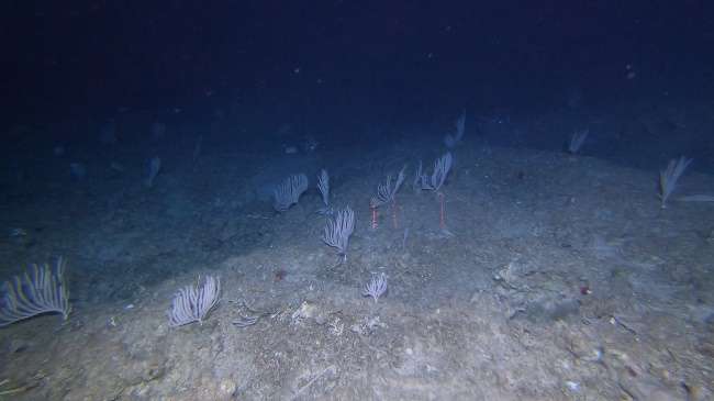
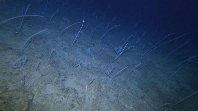
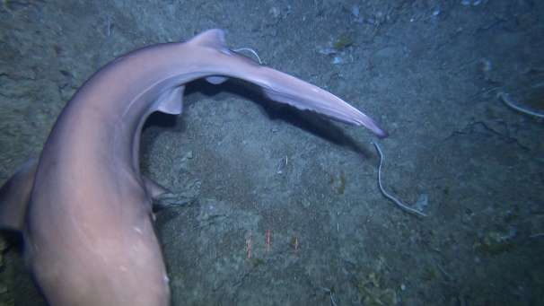
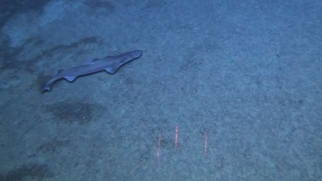
The MapGES 2024 cruise onboard RV Arquipélago was composed of 4 Legs, which were planned to visit some unexplored areas along the Alberto do Mónaco Ridge, the Princesa Alice bank and its surrounding areas and some seamounts along the Mid-Atlantic Ridge. Overall, 144 dives out of 145 stations were accomplished in 20 sampling areas. During Leg 1, from 6th to 15th July 2024, we performed 47 successful dives with the Azor drift-cam. During this Leg, we managed to perform the 1000th dive with the Azor drift-cam, as well as the farthest ever from land. Unfortunately, we lost one complete Azor drift-cam system (the fourth since we started operating the system back in 2019) due to entanglement on lost longlines near a vertical wall. During Leg 1 we surveyed the deep-sea benthic communities dwelling on the geomorphological structures along the Alberto do Mónaco Ridge on board of the research vessel Arquipélago. During Leg 2, from 17th to 31st July 2024, we performed 31 successful dives with the Azor drift-cam. Leg 2 of the MapGES 2024 cruise explored the Princesa Alice bank areas, but the weather conditions severely limited our operations in this important Azorean fishing ground. Leg 3 of the MapGES 2024 was canceled due to multiple technical issues related to the research vessel Arquipélago, which prevented us from carrying out our work. Leg 4 of the MapGES 2024 cruise was composed of two parts. During the first half of Leg 4, from 24th to 30th August 2024, we performed 43 successful dives with the Azor drift-cam, continuing the exploration of the Princesa Alice bank and expanding our work to its surrounding areas. During the second half of Leg 4, from 3rd to 6th September 2024, we performed 21 successful dives in some seamounts along the Mid-Atlantic Ridge, including Óscar, Bicuda and Ferradura. During The MapGES 2024 cruise we observed very diverse benthic and fish communities including dense coral gardens of the primnoids Narella bellisima and Narella versluysi, large black-corals of the species Leiopathes glaberrima, aggregations of black-corals Leiopathes expansa, bubblegum corals Paragorgia johnsoni, and Placogorgia sp. On the top of several mounts we drifted over coral reefs of the scleractinian Eguchipsammia formosa and vast fields of the bird’s nest sponge Pheronema carpenteri. Occasionally, we sighted the rarely seen sailfin roughsharks of the species Oxynotus paradoxus, the swordfish Xiphias gladius and the first ever recorded footage with the Azor drift-cam of a Risso’s smooth-head cf. Alepochephalus rostratus.
MapGES 2024 is the continuation of our long-term strategy to map deep-sea biodiversity and identify Vulnerable Marine Ecosystems (VMEs) in the Azores using the Azor drift-cam system. This cruise was the continuation of the collaboration with the Government of the Autonomous Region of the Azores, through the Regional Directorate for Maritime Policies (DRPM) of the Regional Secretariat for Sea and Fisheries (SRMP) and the Gaspar Frutuoso Foundation (FGF). It benefits from funding from the European Union under the operation "ACORES-14-62G4-FEDER-000001 - Filling gaps in the characterization of maritime space", within the scope of the reprogramming of the Azores 2020 Operational Program (PO Açores 2020), by incorporating the Recovery assistance for cohesion and the territories of Europe programme (REACT-EU) and by the European Regional Development Fund (ERDF). In this cruise, we operated, once again, from the RV Arquipélago and planned to visit some unexplored areas along the Alberto do Mónaco ridge and Princesa Alice, and to expand into deeper waters the previous explorations. During the leg 1 of this cruise we visited the following areas: Princesa Alice SW, Monte Alto, Espadarte, Farpas, Monte Alto SE, Monte Baixo, Voador, and Alberto Mónaco N. As in other MapGES cruises, the objectives were to (i) map benthic communities inhabiting unexplored seamounts, ridges, and island slopes, (ii) identify new areas that fit the FAO Vulnerable Marine Ecosystem definition, and (iii) determine distribution patterns of deep-sea benthic biodiversity in the Azores. The results of this cruise added to the previous contributions to identify the environmental drivers that determine the spatial distribution of deep-sea benthic biodiversity in the Azores. It also provides valuable information in the context of Good Environmental Status (GES), Marine Spatial Planning (MSP) and new insights on how to sustainably manage deep-sea ecosystems.
Statistics
Highlights
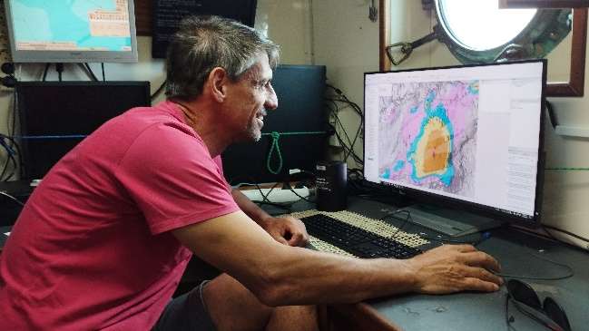
Location of operation
Príncipe Alberto do Mónaco Ridge; Princesa Alice (Central Azores)
Stations
MapGES 2024 RV Arquipélago
| Leg | Period | Days at sea | Vessel | Departure | Return |
|---|---|---|---|---|---|
| 1 | 06/07/2024 - 15/07/2024 | 10 | RV Arquipélago | Horta | Horta |
| 2 | 17/07/2024 - 31/07/2024 | 15 | RV Arquipélago | Horta | Horta |
| 3 | 24/08/2024 - 07/09/2024 | 15 | RV Arquipélago | Horta | Horta |
A total of 40 days at sea
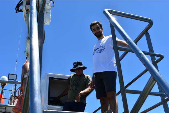
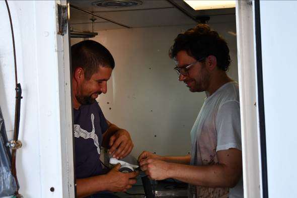
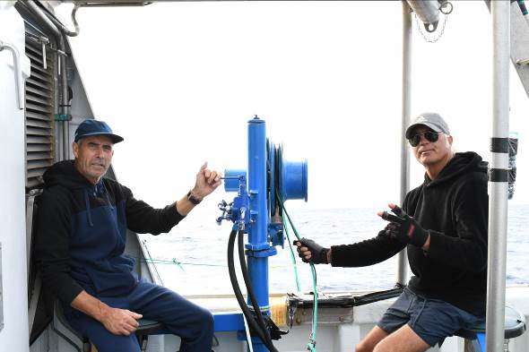
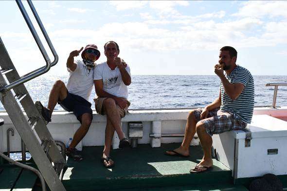
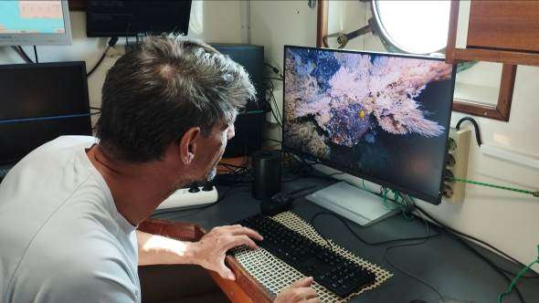
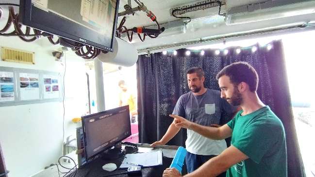
Activities
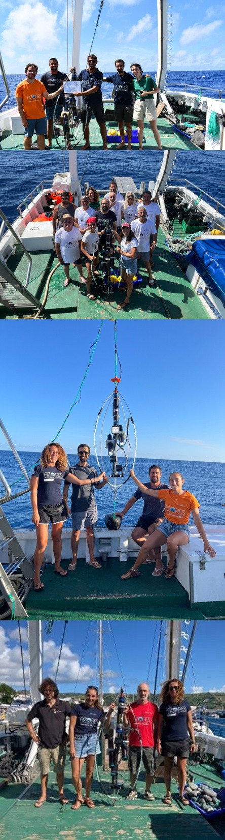
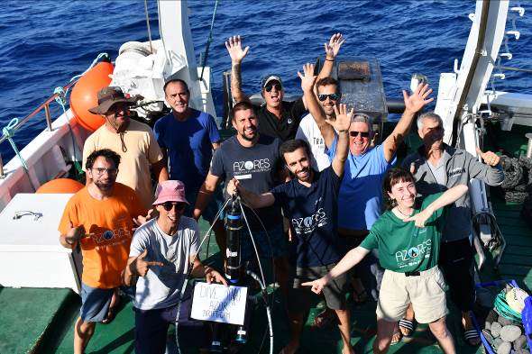
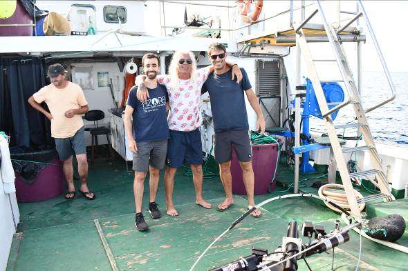
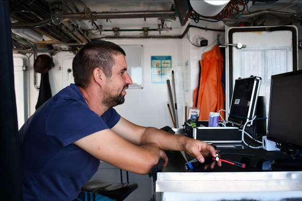
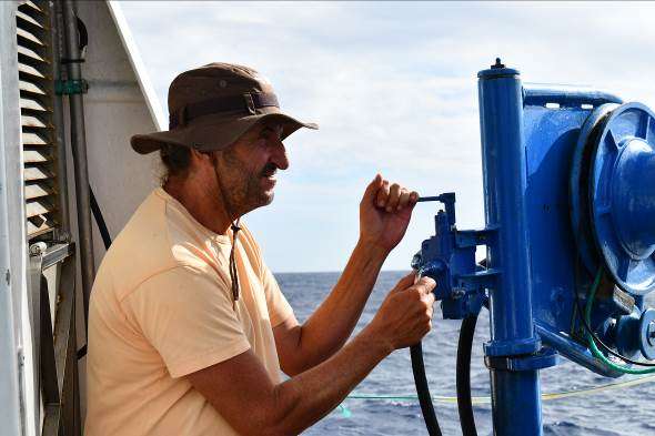
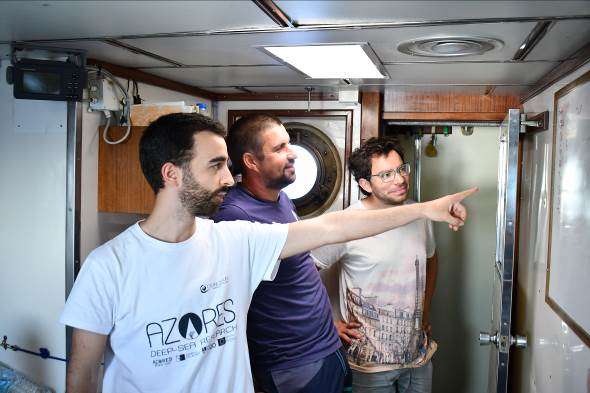
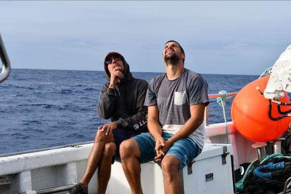
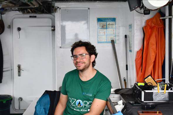
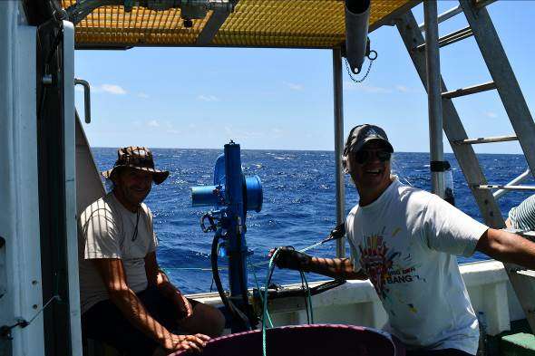
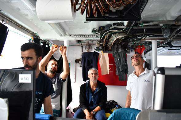
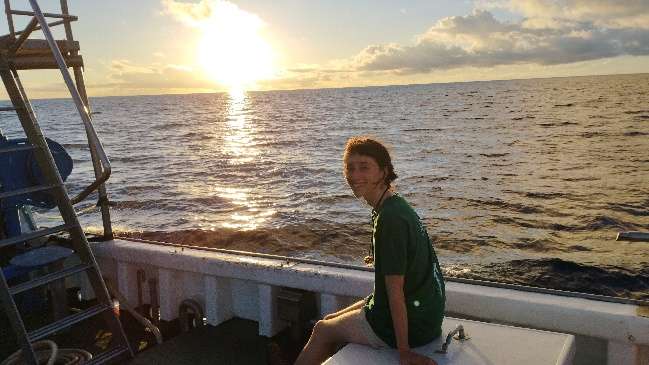
Cruise crew
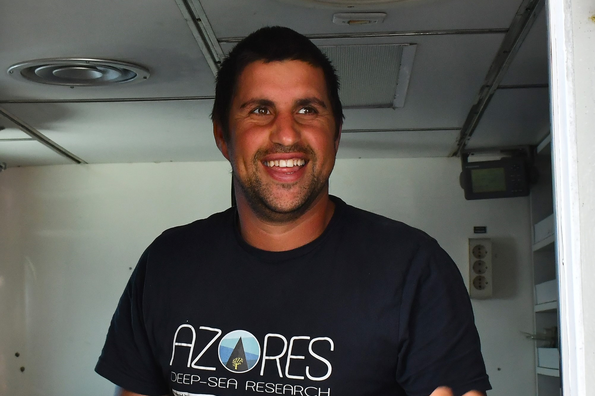
Chief scientist
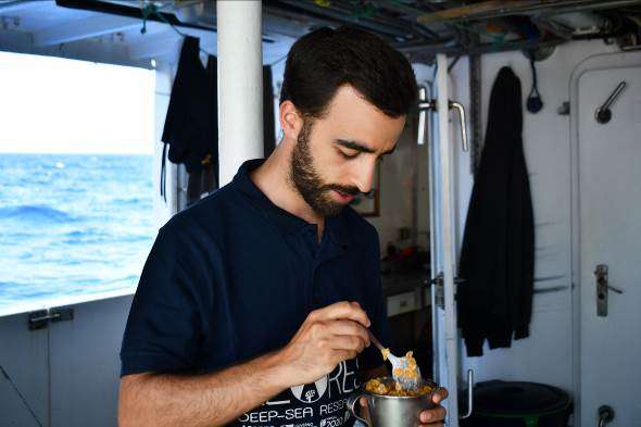
Scientific crew
Carlos Dominguez-Carrió

Gabriela Cardoso

Gerald Hechter Taranto

Guilherme Gonçalves

Inês Correia Bruno
João Balsa
Luís Rodrigues
Manuela Ramos

Marc Pladevall
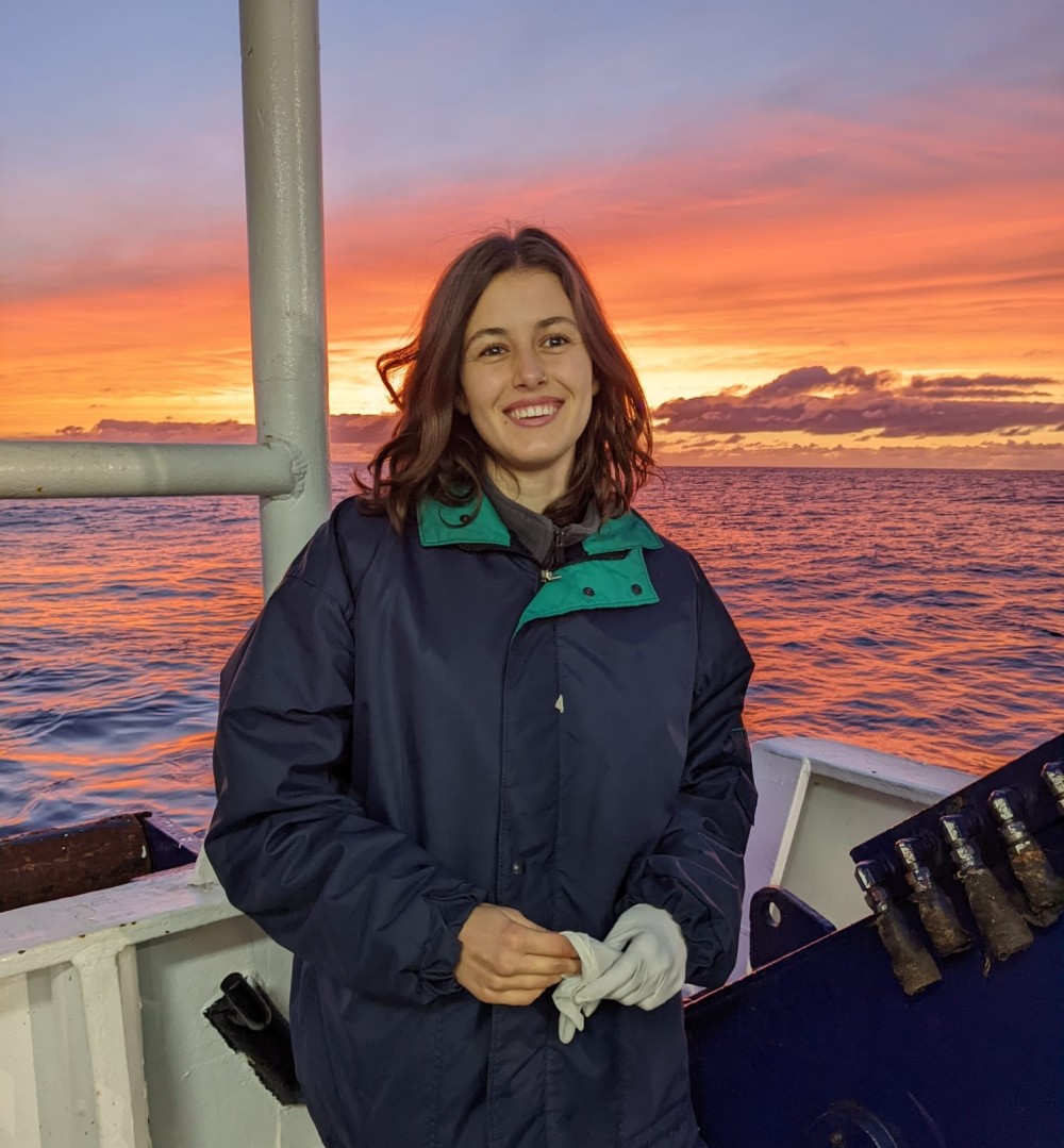
Marina Navarro Engesser
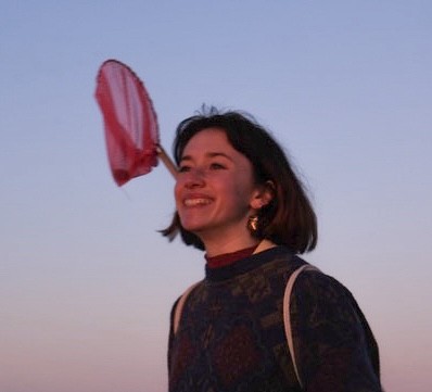
Rachel Lacoste
Sérgio Gomes
Collaborators


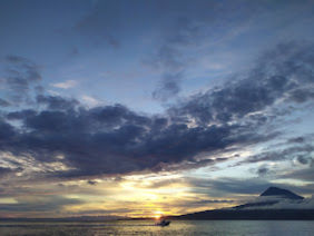
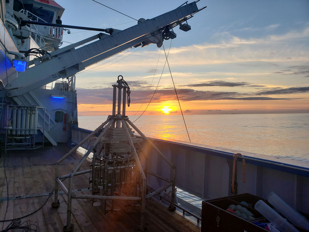
Images


Dives images


Location
Departamento de Oceanografia e Pescas — Universidade dos Açores
Rua Prof. Doutor Frederico Machado, No. 4
9901-862 Horta, Portugal
Contact
Email: azoresdeepsea@gmail.com
AZORES DEEP-SEA RESEARCH © 2020-2026 — RELEASE 2.1
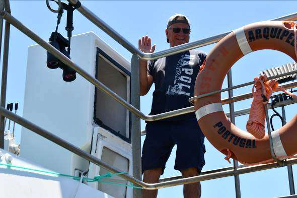
 VALTER MEDEIROS