CRUISES / MapGES 2023 MT Physeter
Mapping deep-sea biodiversity and “Good Environmental Status” in the Azores
Summary Show more ↓

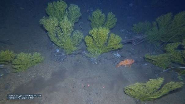
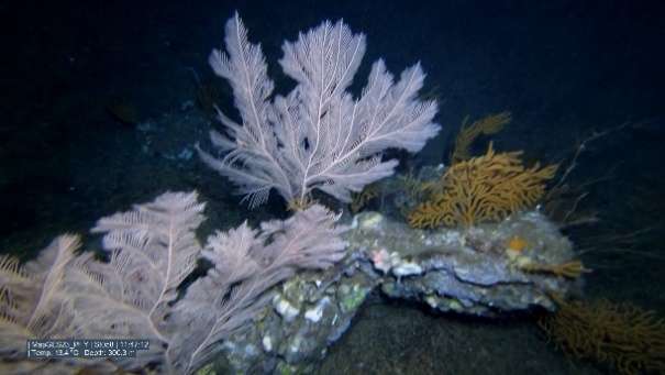
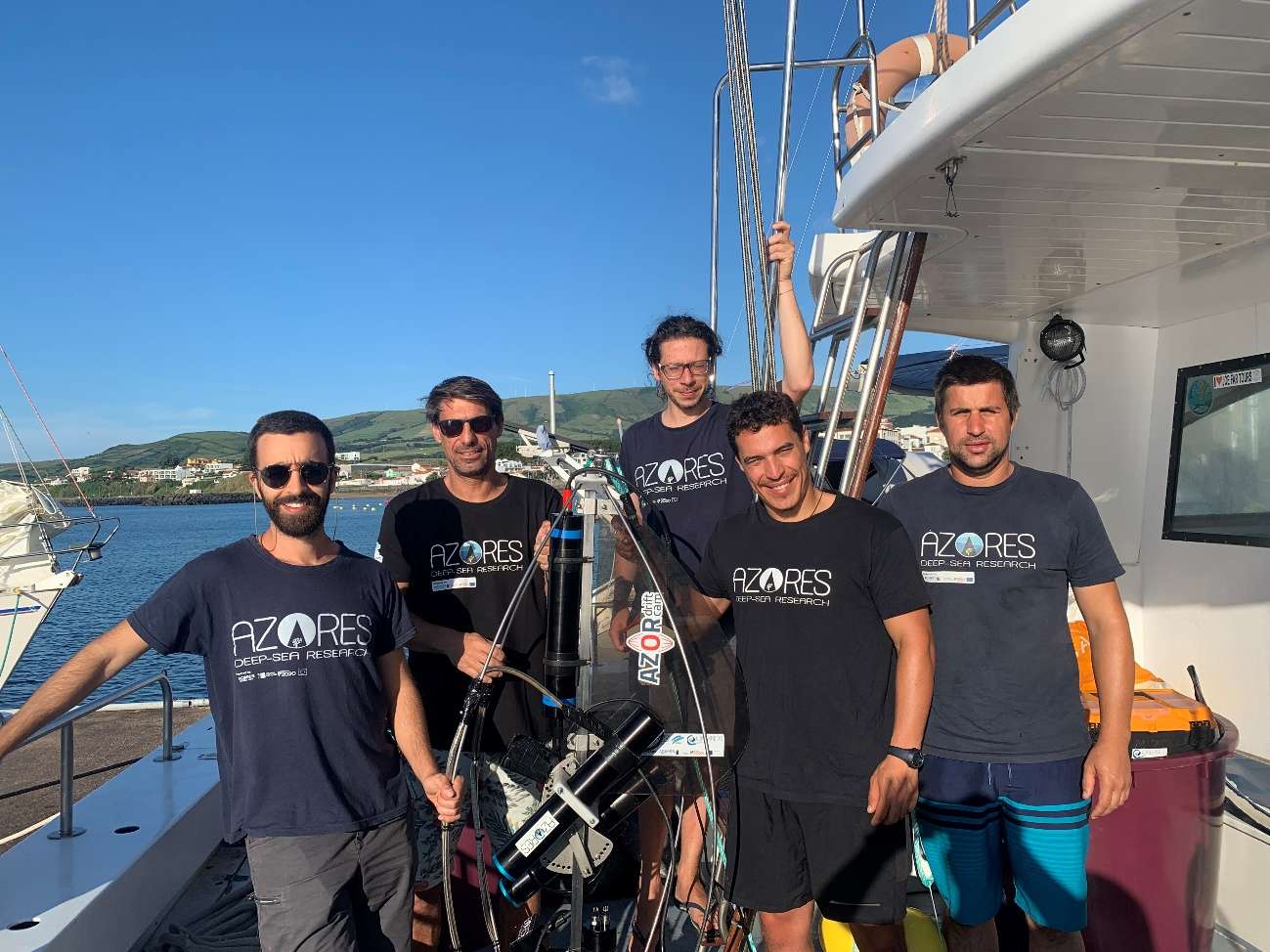
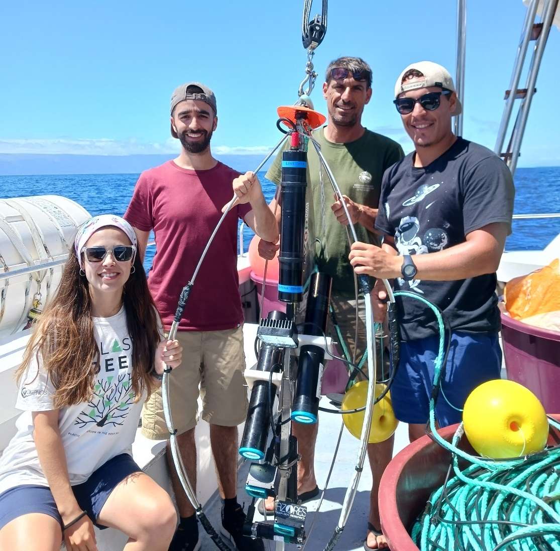
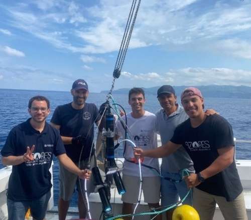
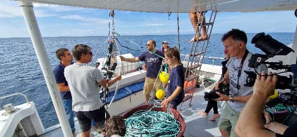
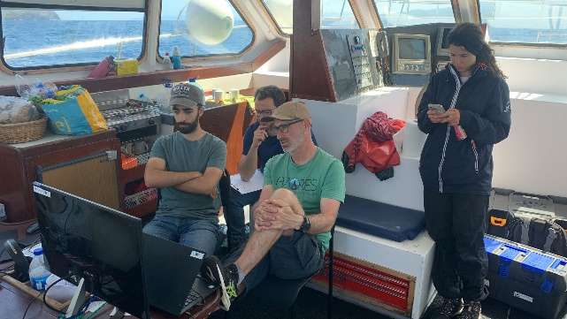
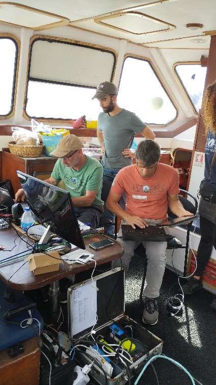
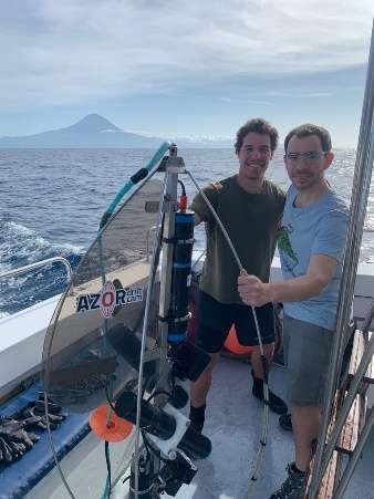
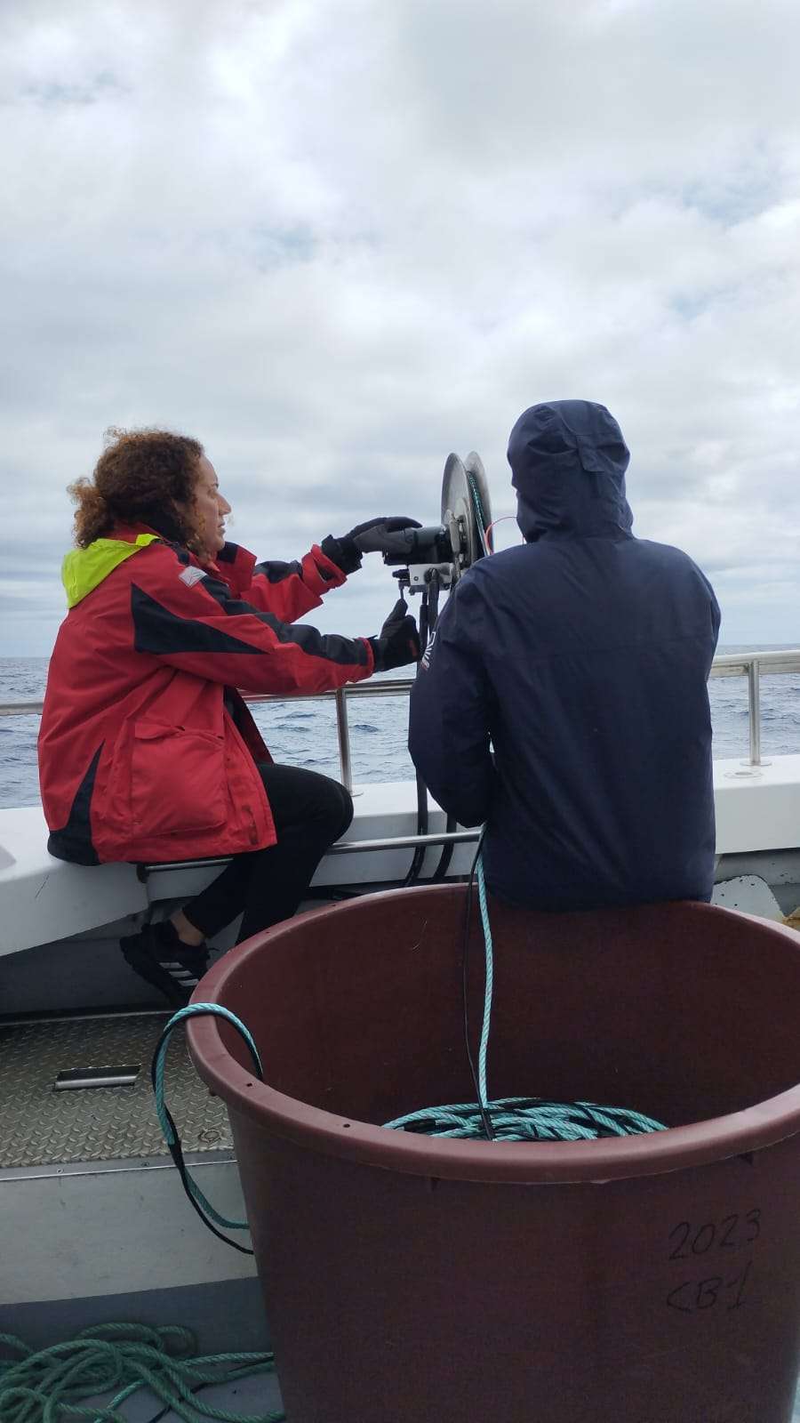
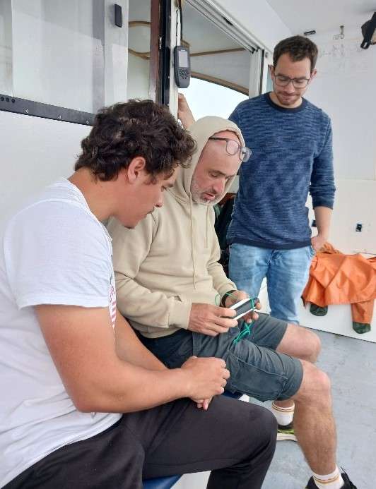
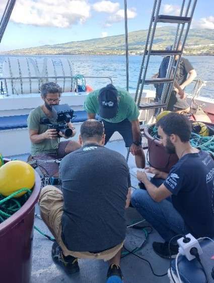
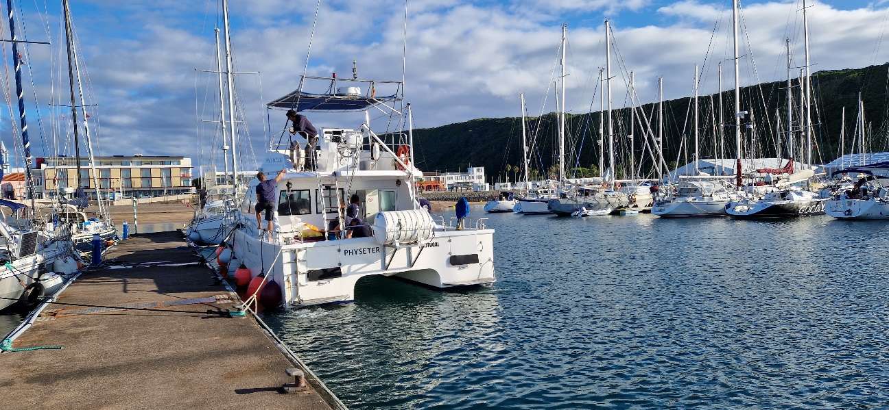
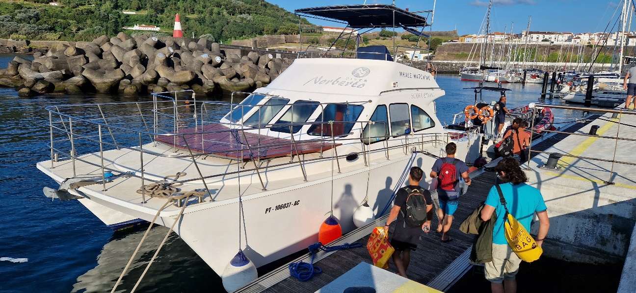
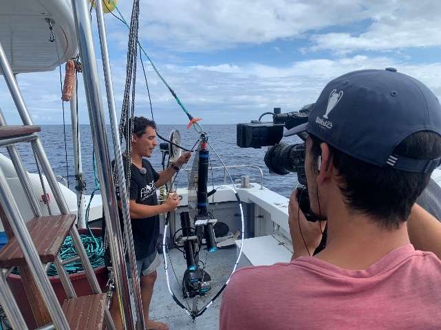
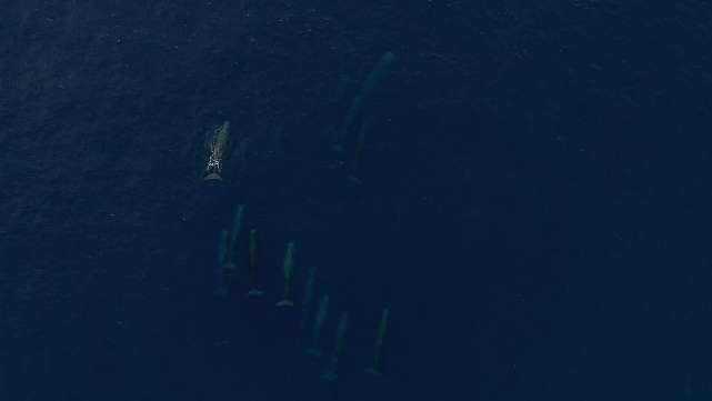
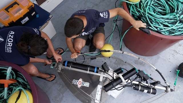
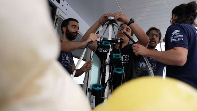
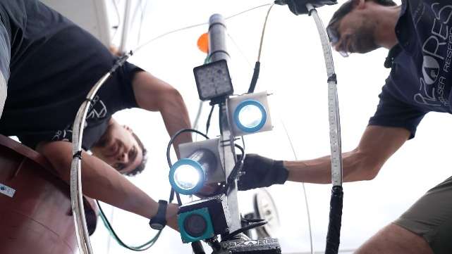
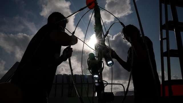
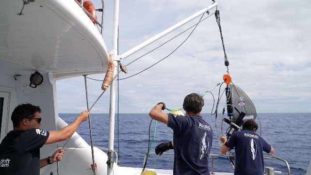
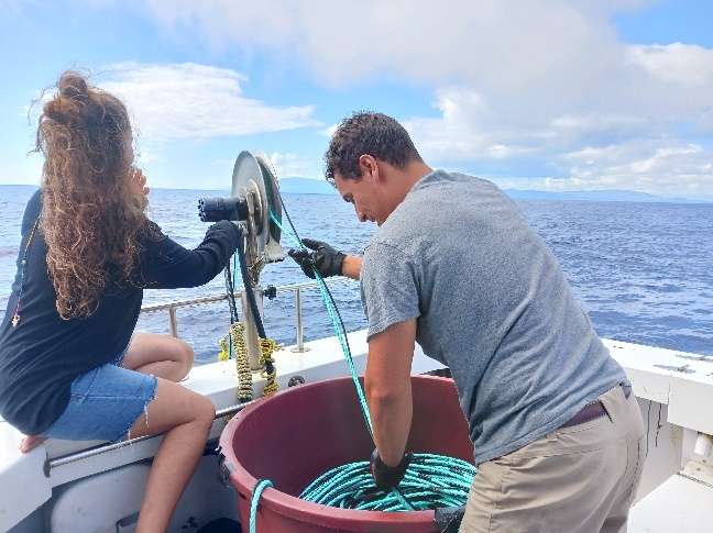
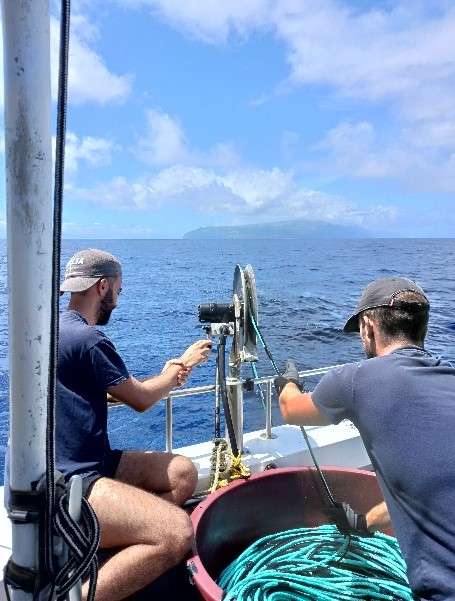
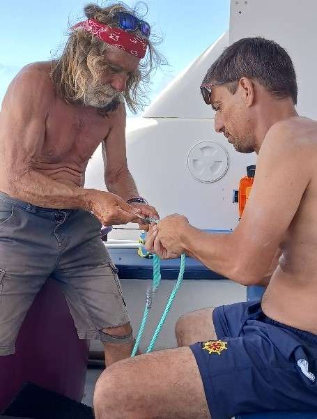
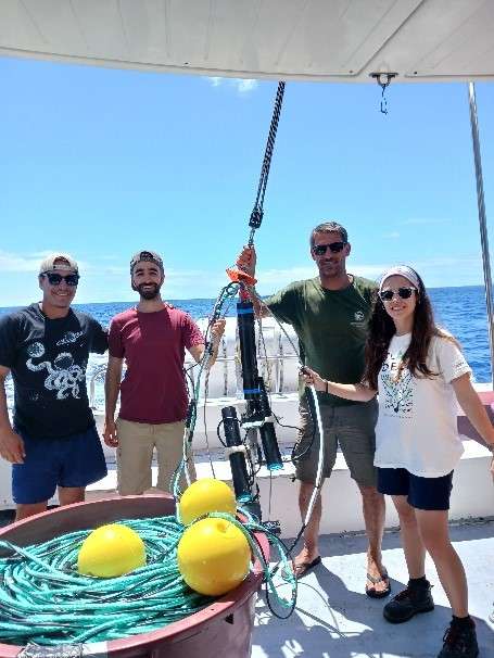
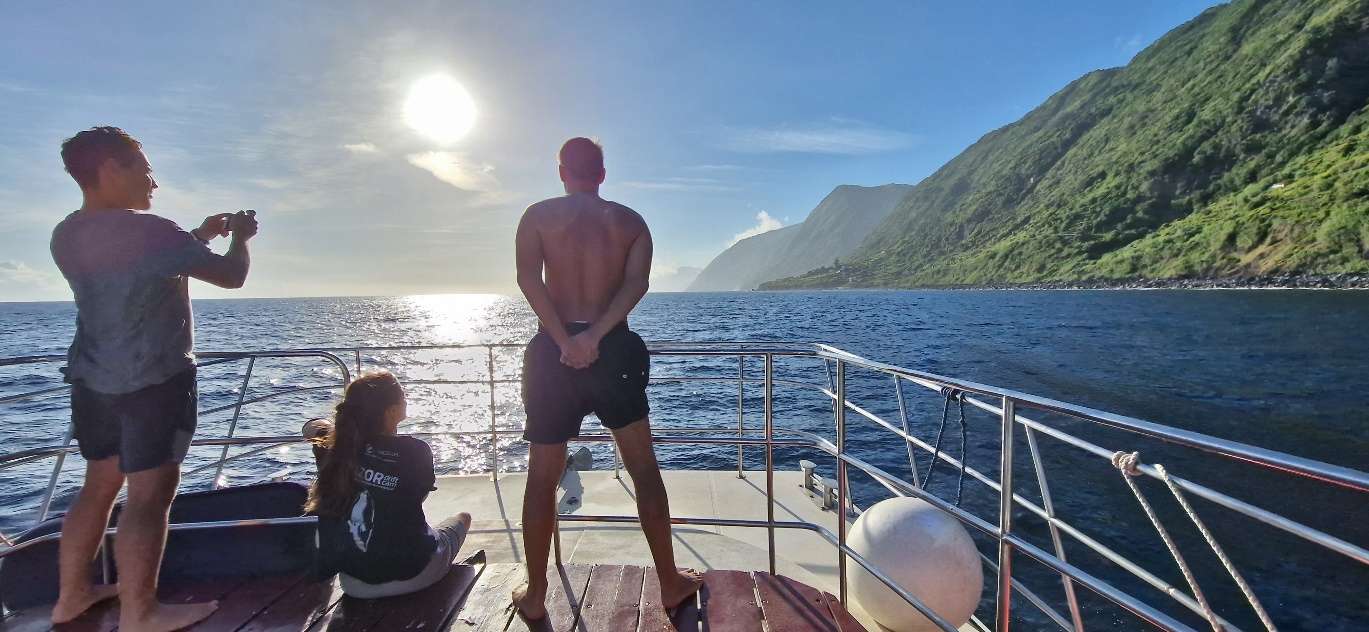
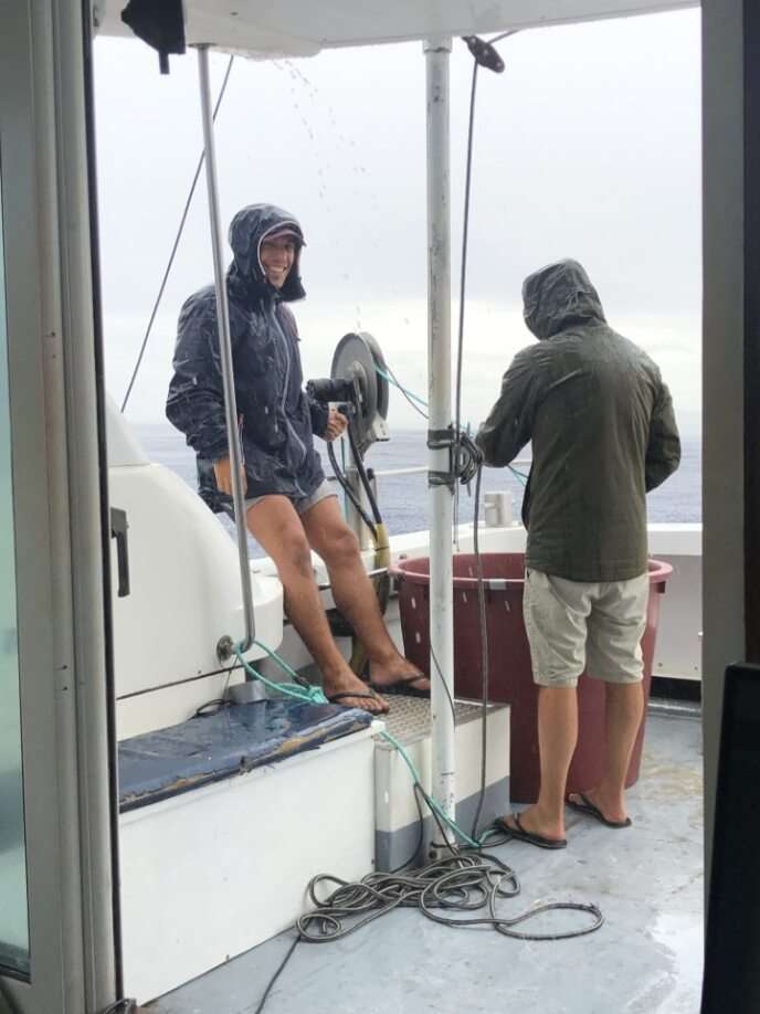
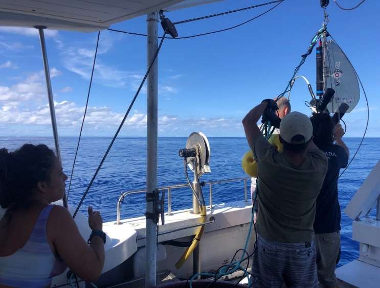
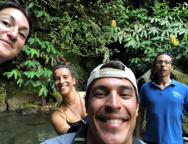
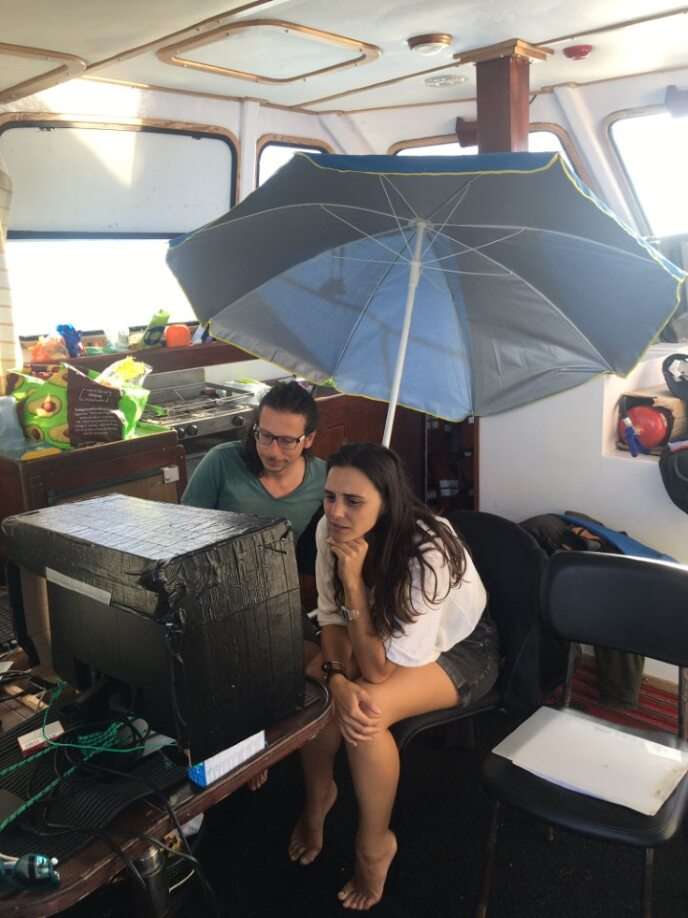
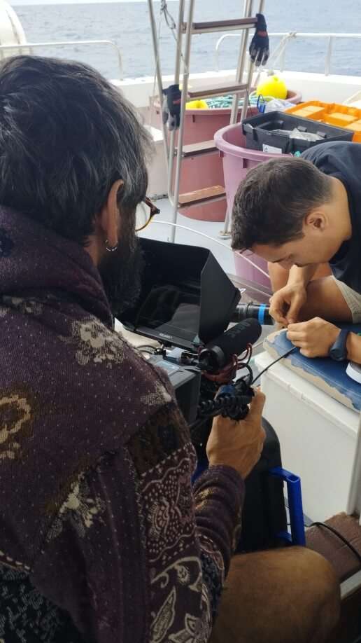
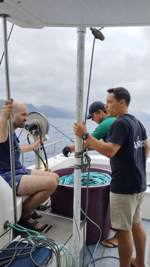
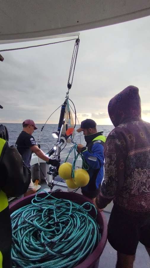
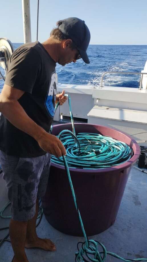
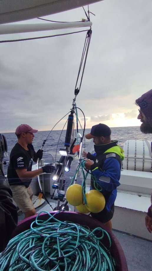
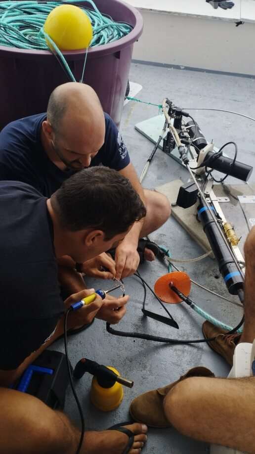
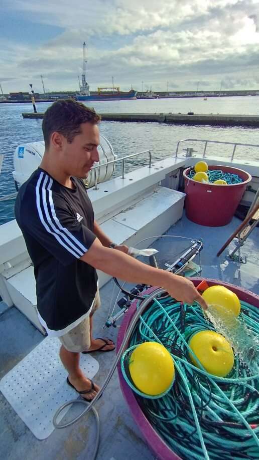
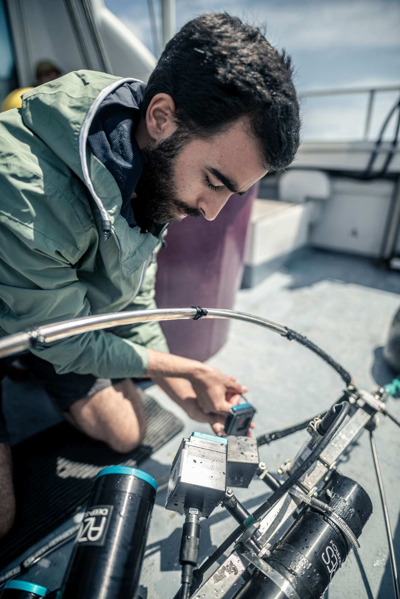
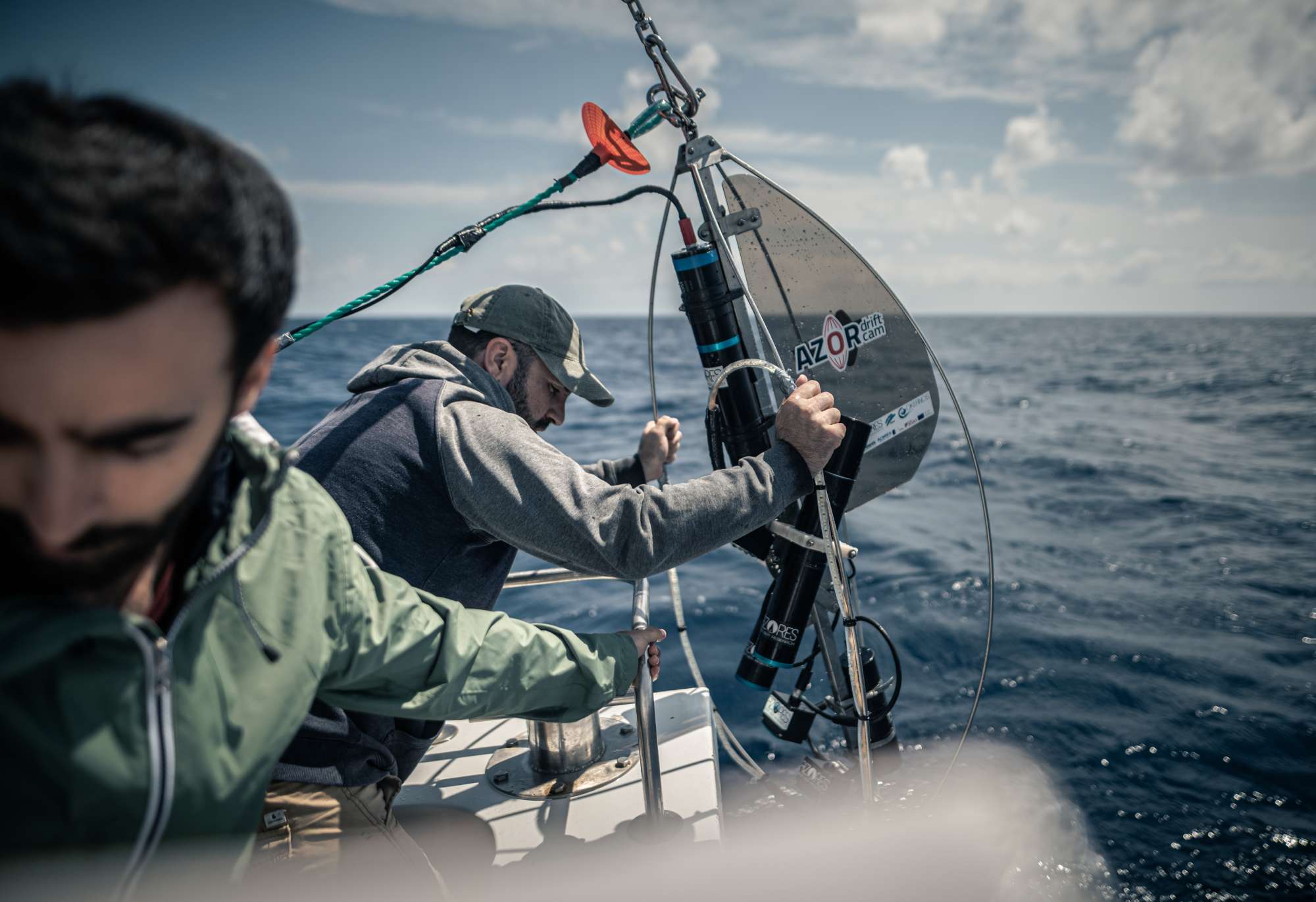
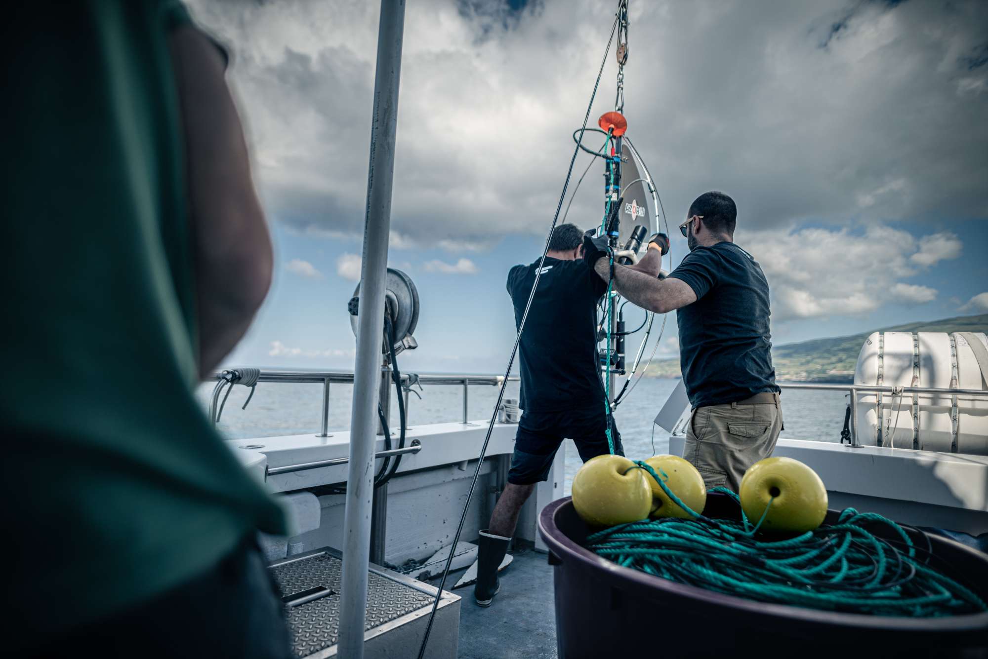
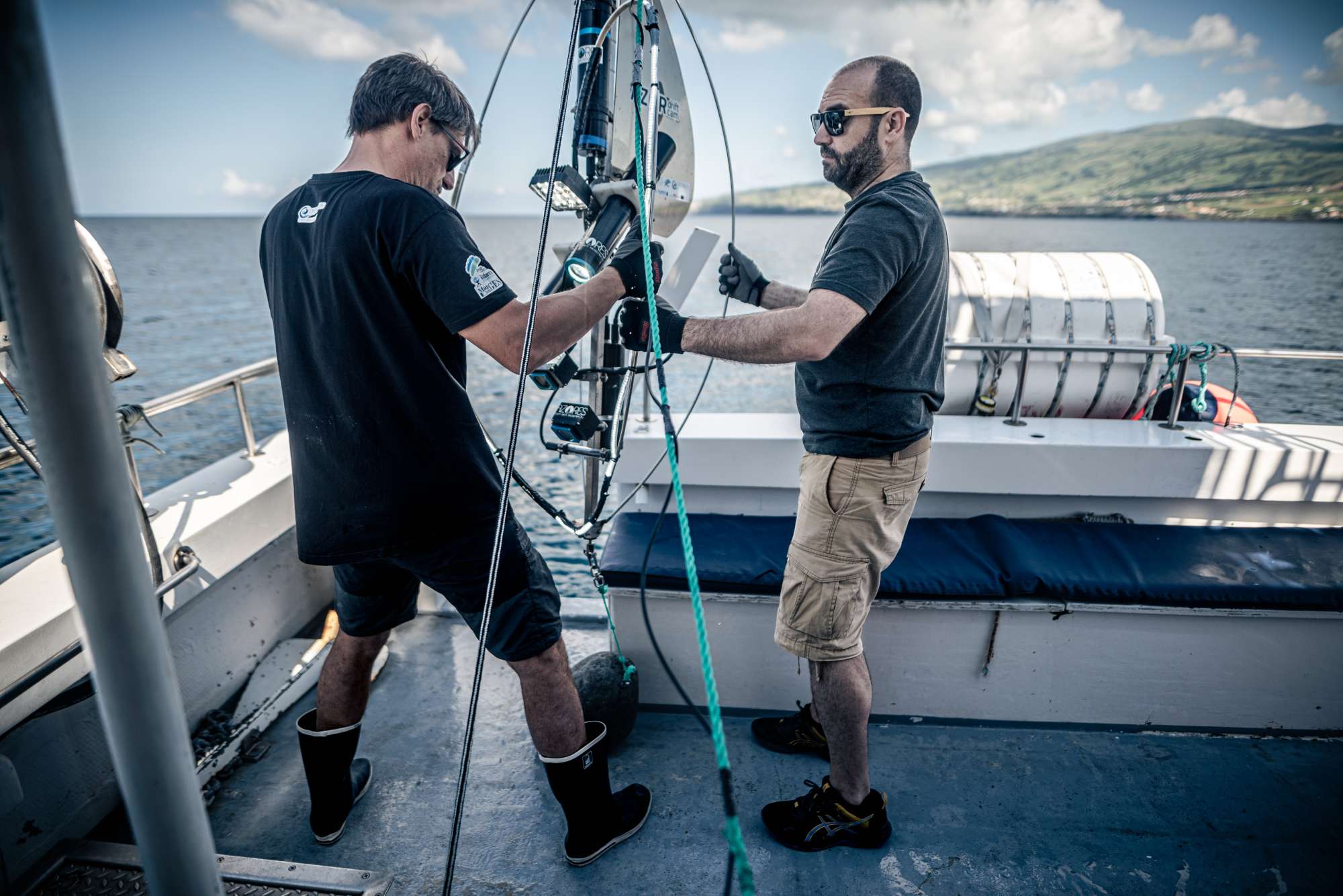
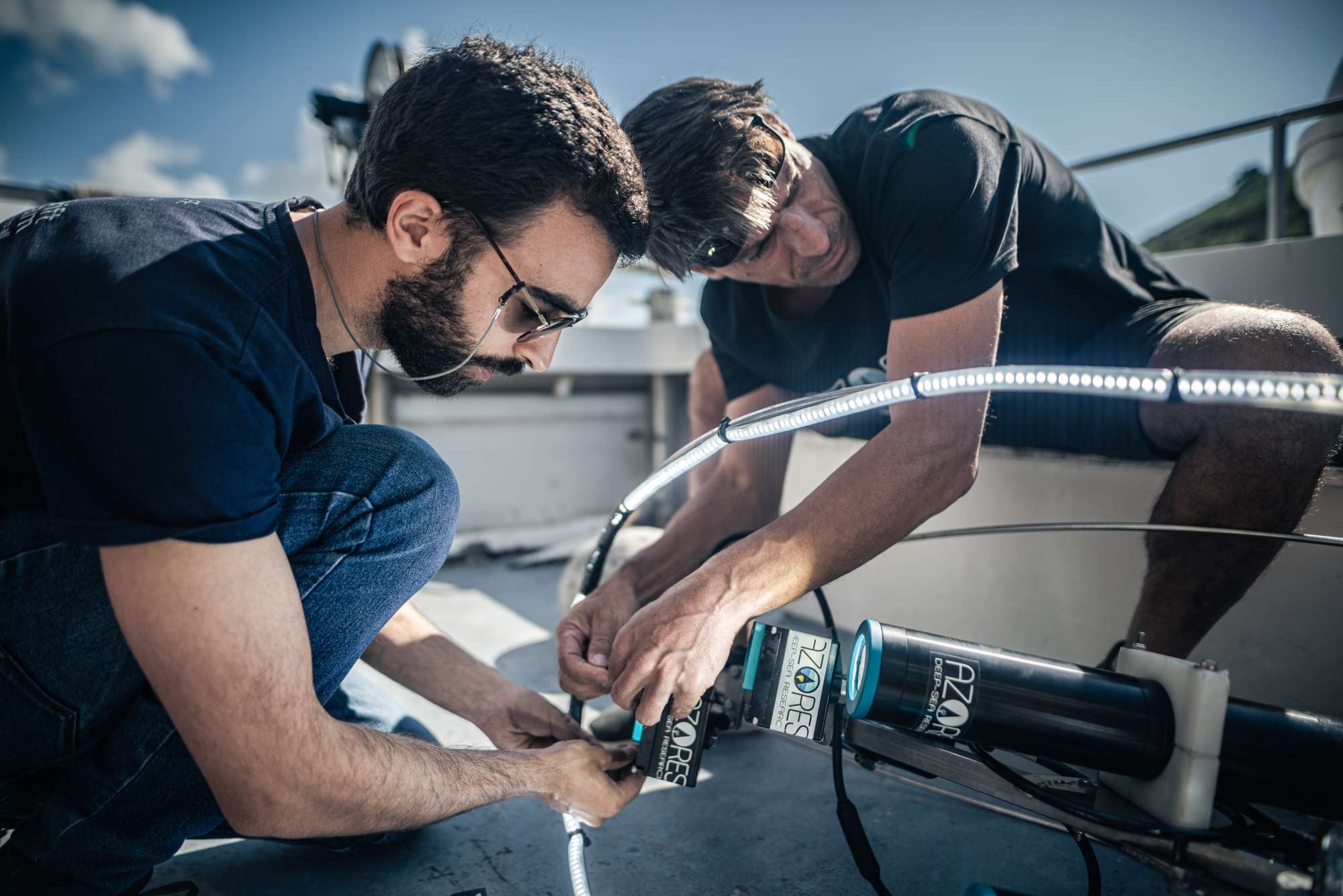
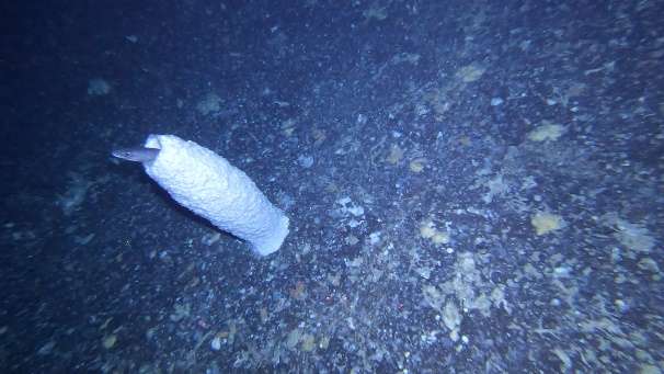
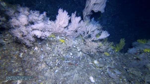
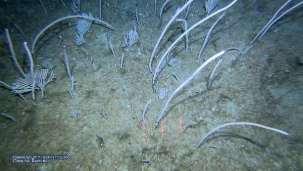
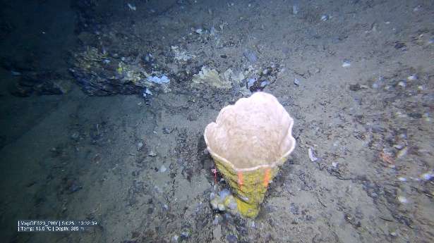
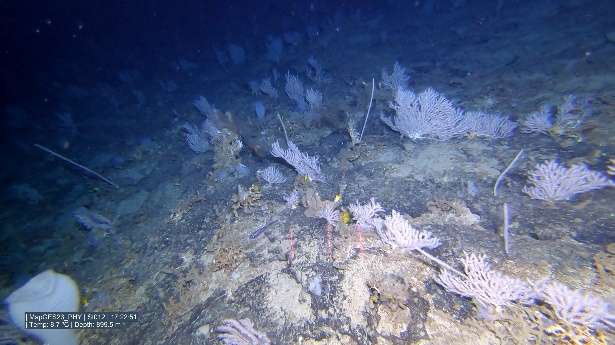
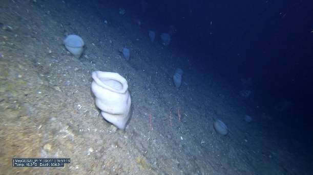
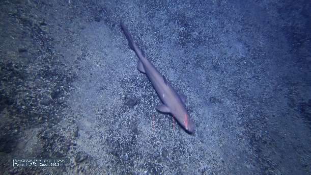
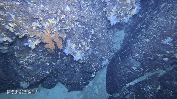
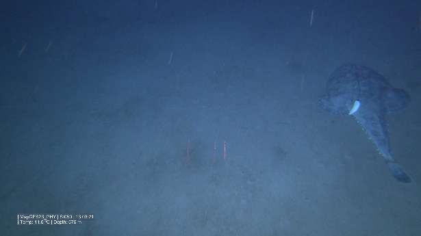
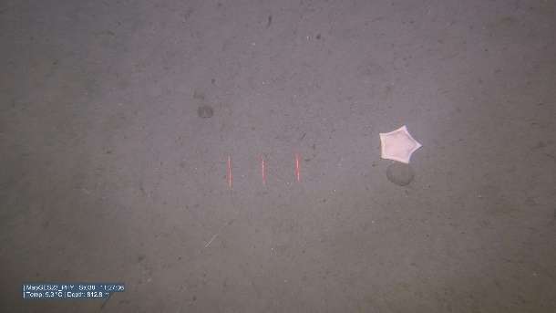
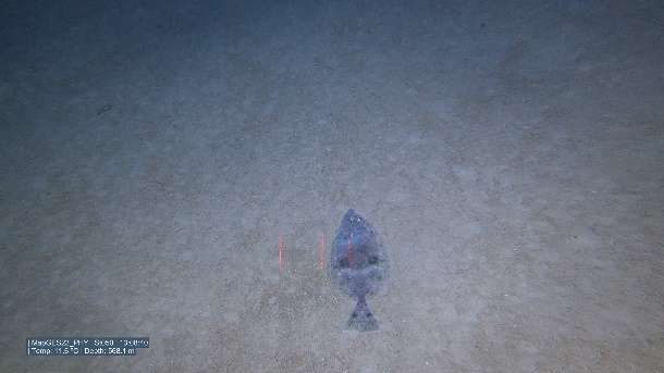
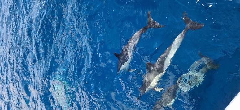
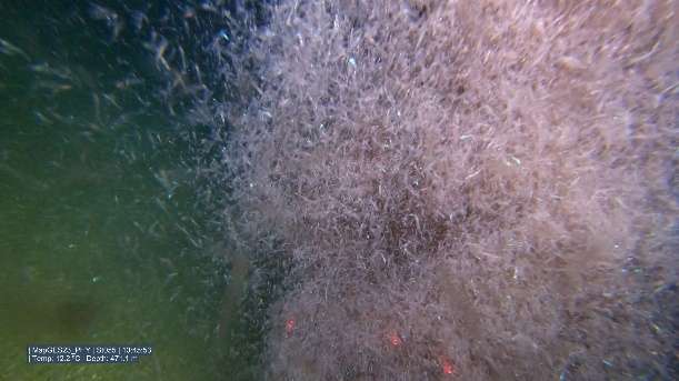
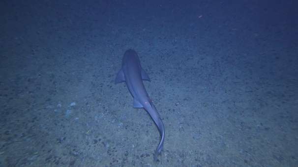
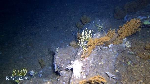
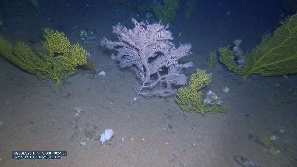
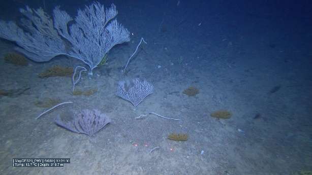
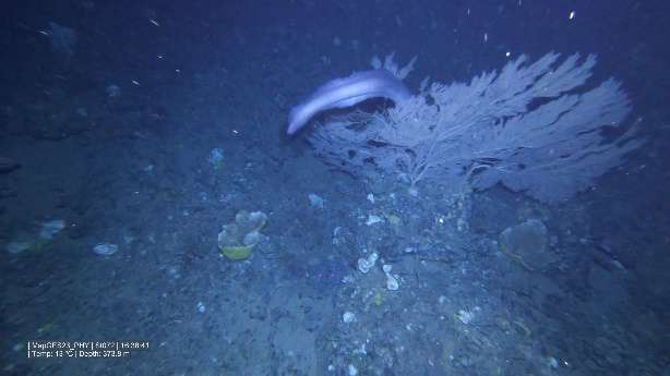
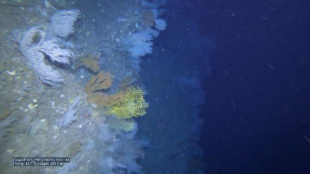
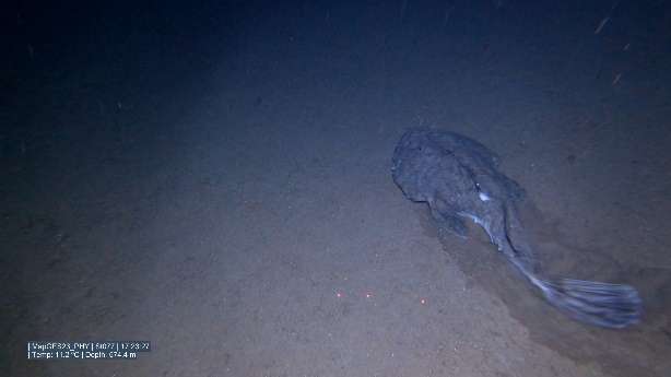
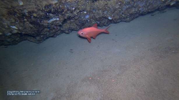
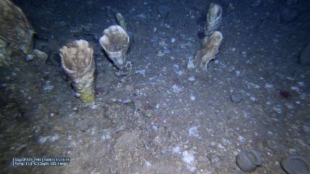
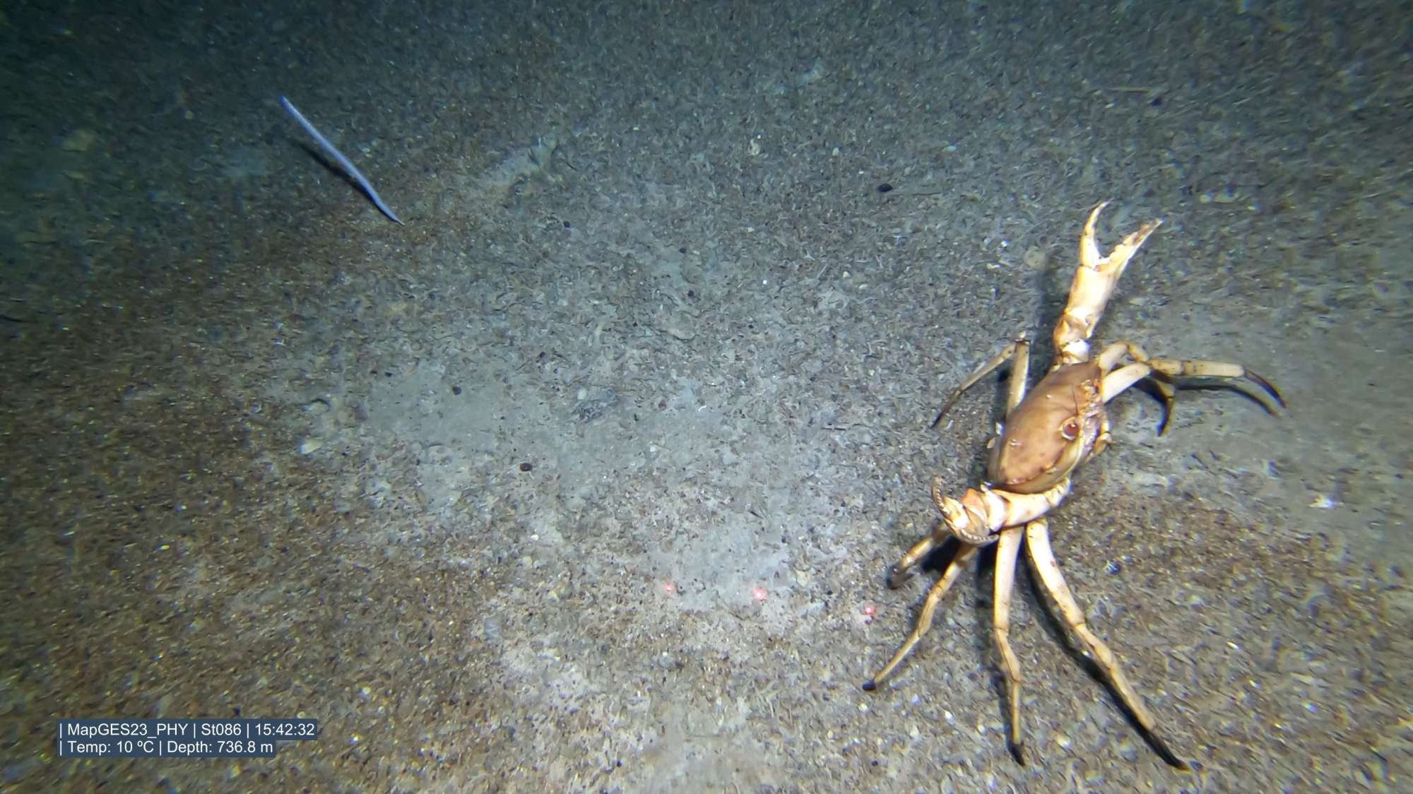
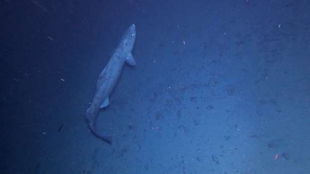
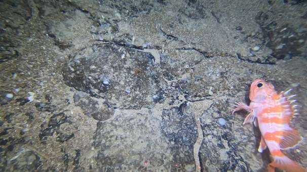
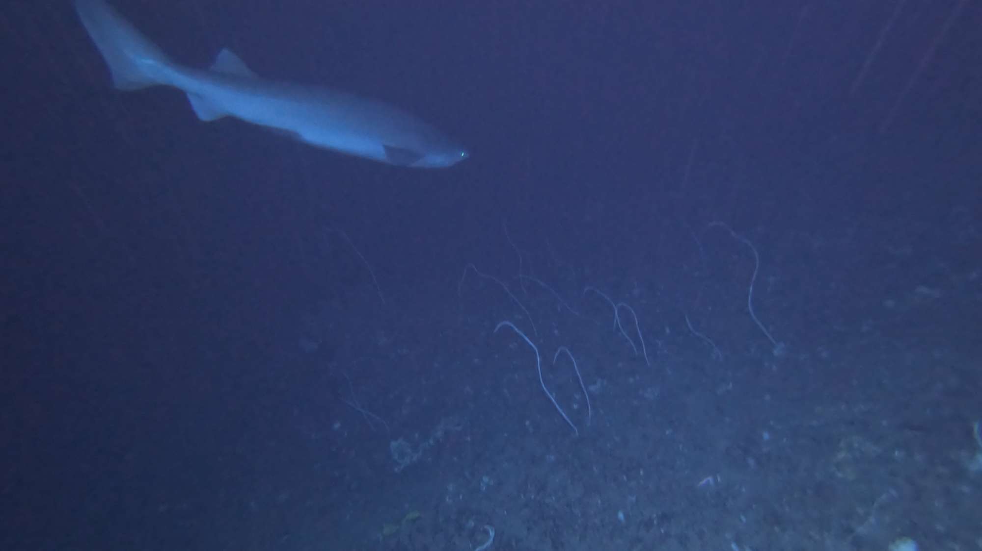
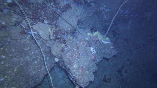
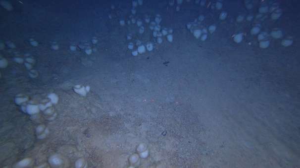
MapGES 2023 is the continuation of our long-term strategy to map deep-sea biodiversity and identify Vulnerable Marine Ecosystems (VMEs) in the Azores using the Azor drift-cam system. This cruise was funded under the Contract 18/DRPM/2022, regarding the "Characterization of deep-sea habitats, for its mapping up to the outer limit of the Azores sub-area of the Portuguese exclusive economic zone" acquisition of services between the Government of the Autonomous Region of the Azores, through the Regional Directorate for Maritime Policies (DRPM) of the Regional Secretariat for Sea and Fisheries (SRMP) and the Gaspar Frutuoso Foundation (FGF). It benefits from funding from the European Union under the operation "ACORES-14-62G4-FEDER-000001 - Filling gaps in the characterization of maritime space", within the scope of the reprogramming of the Azores 2020 Operational Program (PO Açores 2020), by incorporating the Recovery assistance for cohesion and the territories of Europe programme (REACT-EU) and by the European Regional Development Fund (ERDF). On this cruise, we operated from the MT Physeter and planned to visit some unexplored areas such as the geomorphological structures around the Princesa Alice bank, the slopes of Terceira Island (central Azores), and the slopes of São Miguel Island (eastern Azores). As in other MapGES cruises, the objectives were to (i) map benthic communities inhabiting unexplored seamounts, ridges and island slopes, (ii) identify new areas that fit the FAO Vulnerable Marine Ecosystem definition, and (iii) determine distribution patterns of deep-sea benthic biodiversity in the Azores. The results of this cruise added to the previous contributions to identify the environmental drivers that determine the spatial distribution of deep-sea benthic biodiversity in the Azores. It also provided valuable information in the context of Good Environmental Status (GES), Marine Spatial Planning (MSP) and provide new insights on how to sustainably manage deep-sea ecosystems.


Statistics
Transits
0 km
Multibeam Bathymetry
0 km²
Filmed Seabed
113 km
Visited Areas
32
Stations
200
Dives
197
Video Footage Recorded
198 hours
Used Storage
0 Tb
Samples
0
No information available at this moment

Highlights

LEGS 1, 2, and 3 - Princesa Alice Bank, Seamounts North of Graciosa and Slopes of Terceira Island

  1. Were able to visit 5 unexplored geomorphological structures in south of Faial and around Pico Islands Boureé NE (Açor NW), Açor, de Guerne N (Açor SE), São Mateus de Fora, Agulhas 18 Milhas; and 6 new areas around Terceira - Álvaro Martins, Terceira N, Terceira S, Terceira E, Maçarico, Gastromar, Beirada de for a. We also visited some areas that have already been explored but needed extra video data, namely Terceira NE and Pico N. We also explored a completely new area named 12 Milhas.
  2. During the MapGES 2023 Physeter cruise Leg1, Leg2 and Leg3 we accomplished 119 underwater video transects with the Azor drift-cam, adding up to around 119:55 hours of new underwater video footage of seabed habitats. This was a big achievement considering that we successfully operated, once again, the Azor drift-cam for deep-sea exploration onboard a small vessel.
  3. During Leg 1 MapGES 2023 Physeter cruise we explored particularly sensitive areas due to fishing activities, namely south of Faial and Pico islands. As in previous years, the presence of some fishing lines made our deep-sea exploration challenging. After having the Azor drift-cam caught on several lines, we managed to get free with only minor damages. This collateral effect of fishing lines is preventing the acquisition of deep-sea biodiversity data to inform management and deserves to be better quantified.
  4. In both Leg1 and Leg 2 of MapGES 2023 Physeter cruise, most of the dives performed covered sections of sedimentary bottoms, usually characterized by low levels of biodiversity. Nevertheless, some extensive aggregations of the primnoid corals Narella versluysi and Narella bellissima were occasionally observed colonizing rocky outcrops. The bird’s nest sponge Pheronema carpenteri together with Asconema fristedti composed most of the sponge assemblage, covering areas of mixed substrate. In MapGES 2023 Physeter cruise Leg2, a particularly surprising highlight was the impressive aggregation of the echinoderm Cidaris cidaris. It covered a vast section of flat sedimentary seafloor, being the largest and densest aggregation, we have recorded so far in the Azores region.
  5. During Leg2 of this cruise, we achieved a long waiting milestone: teaching our South Atlantic partners how to operate the Azor drift-cam. *The iAtlantic capacity building workshop aimed to share the technological and methodological details for the use of the Azor drift-cam. It ran from 5-8th June 2023 in the facilities of Escola do Mar (EMA) in the city of Horta (Faial Island, Portugal). A total of 12 researchers from the iAtlantic consortium coming from Brazil, South Africa and the United Kingdom took part in the workshop organized by the Azores Deep-Sea Research group. All the expenses were covered by the iAtlantic project. The workshop included two half-a-day surveys on board MT Physeter to show the participants how to deploy the Azor drift-cam in real conditions and how to operate the system to effectively collect video footage of deep-sea benthic habitats.
  6. The abundance, diversity, and condition in which the several benthic communities observed were found thriving on the Terceira island’s slopes was particularly special, and definitely a highlight of Leg3. Despite these previously unexplored areas being subjected to considerable degrees of fishing effort, most of the benthic fauna observed was visually healthy and harboured many associated fish species as well. The main highlights of Leg 3 were: (1) the sighting of uncommonly large specimens of the coral Dentomuricea aff. meteor in Terceira N, quite possibly the largest specimens we have recorded so far in the Azores region; (2) The detection of areas with the display of black coral aggregations such as Leiopathes glaberrima and L. expansa; (3) Observation of what we believe are small primnoid corals yet to be identified in at least two different seamounts in Terceira E area.

LEGS 4 and 5 – Slopes of São Miguel and São Jorge Islands

  1. Were able to visit ten unexplored geomorphological structures in the Azores EEZ – São Jorge E Topo, São Miguel N, NE, E, SE, S, SW, O, NO, e Mar da Prata Norte. We also visited four areas that have already been explored but needed extra video data namely the Isolado, Kurchatov N, Kurchatov SW, and Mar da Prata S. We managed to fill some knowledge gaps about the benthic communities located in the southeast and eastern portions of São Jorge Island (São Jorge SE and S Urzelina).
  2. This was the first time an extensive scientific survey was specifically designed to map and describe deep-sea benthic communities inhabiting banks, ridges, seamounts, and slopes located around the Island of São Miguel.
  3. During the Leg 4 and 5 of MapGES 2023 on board the MT Physeter, we performed 93 video transects with the Azor drift-cam, adding up to around 91 hours of new underwater video footage of seabed habitats. These numbers represent a big achievement considering that (i) we successfully operated, once again, the Azor drift-cam for deep-sea exploration on board a small vessel often reaching very remote locations situated more than 40 nm away from the closest harbour and that (ii) most days at sea were characterized by an extremely challenging weather.
  4. In both Legs 4 and 5 of MapGES 2023, most of the dives performed covered sections of sedimentary bottoms, usually characterized by low levels of biodiversity.
  5. Nevertheless, there were locations showing extensive coral aggregations that potentially are indicative of Vulnerable Marine Ecosystems. These aggregations were mostly encountered at depths shallower than 400-500 m depth and were dominated by extraordinarily large colonies of Callogorgia verticillata and, less frequently, by colonies of Dentomuricea aff. meteor often mixed with other coral species commonly found around the archipelago of the Azores, such as Viminella flagellum and Acanthogorgia spp. On few occasions, extensive aggregations of the primnoid corals Narella versluysi and Narella bellissima were observed at depths greater than 500 m.
  6. Noteworthy is the observation, during Leg 5, of some coral aggregations that appear to be particularly rare in the Azores. These include (i) a vast area completely covered by a reef of the stony coral Eguchipsammia cornucopia; (ii) an extraordinarily dense coral garden featuring, among other species, the bubble gum coral Paragorgia johnsoni (a species that do not appear to be very common on island slopes), and particularly high densities of the primnoid species Narella bellissima and N. versluysi; (iii) a large area dominated by an unidentified species of the family Stylasteridae (i.e. lace corals); (iv) an area dominated by a rare purple coral most likely of the genus Paramuricea; (v) an aggregation of black corals (order Antipatharia) on the northern part of Mar da Prata Bank.
  7. Regarding sponge aggregations, the highlights of these two legs are (i) on the observation of extensive areas with the presence of the species Pseudotrachya hystrix, mainly encountered at the common sandy floors where we usually drifted over, (ii) some frequent sighting of even bigger specimens of the often-robust Characella pachastrelloides complex and, (iii) the frequent notice of big and widespread aggregations of the “bird nest” sponge, Pheronema carpenteri.
  8. A potential new species of deep-sea fish may have been observed for the first time in the Azores archipelago, named Gaidropsaurus spp., spotted in two different days.
  9. The invasive algae Rugulopteryx okamurae, that in recent years appeared on most Azorean shores, was very frequently observed in large patches down to depths of about 900 m suggesting that the impact of this species on resident communities may not only be limited to coastal areas, but also extend into the deep sea of the Azores. Therefore, to fully understand how Rugulopteryx okamurae alters the distributional and niche dynamics of native species and the extent of its impacts, there is a need to investigate how it affects both shallow and deep-sea communities.
  10. In general, it was found that the benthic communities around São Miguel Island present an apparent good environmental status. This observation is particularly relevant if we consider that this area concentrates a significant part of the bottom fishing effort in the Azores Region.
Scientific Crew
Telmo Morato
Principal Investigator
Carlos Dominguez-Carrió
Principal Investigator
Gerald Hechter Taranto
Early-career Researcher
Laurence Fauconnet
Senior Scientist
João Balsa
Early-career Researcher
Luís Rodrigues
Senior Scientist
Sérgio Gomes
Research Assistant
Guilherme Gonçalves
Early-career Researcher
Inês Carneiro
Early-career Researcher
Marc Pladevall
Early-career Researcher
António Godinho
Research Assistant
Manuela Ramos
Early-career Researcher
Gal·la Edery
Early-career Researcher


Inês Bruno Isabel Areosa Alexandra Rosa Alexandre Morais Nicolás Collazo

Location of operation

Princesa Alice/Açor banks, Terceira Island slopes and Álvaro Martins seamount (Central Azores), and São Miguel Island slopes (Eastern group)


Stations
Settings Fullscreen
Leg Period Days at sea Vessel Departure Return
1 15/05/2023 - 21/05/2023 7 MT Physeter Horta Horta
2 30/05/2023 - 11/06/2023 13 MT Physeter Horta Horta
3 14/07/2023 - 30/07/2023 17 MT Physeter Praia da Victória Praia da Victória
4 31/07/2023 - 04/08/2023 5 MT Physeter Calheta Calheta
5 15/08/2023 - 15/09/2023 32 MT Physeter Rabo de Peixe Ponta Delgada
A total of 74 days at sea
Activities
Video survey (Azor drift-cam)


Funding
iAtlantic European Union’s Horizon 2020 818123 (iAtlantic) MapGES PO Açores 2020, European Regional Development Fund (ERDF / FEDER) ACORES-01-0145-FEDER-00056 MapGES2 Regional Government of the Azores, EU, ACORES-14-62G4-FEDER-000001, PO Açores 2020, REACT-EU, ERDF 18/DRPM/2022, ACORES-14-62G4-FEDER-000001

Related projects
iAtlantic MapGES MapGES2


Departamento de Oceanografia e Pescas

Rua Prof. Doutor Frederico Machado, 4

9901-862 Horta, Portugal

Azores Deep-sea Research

azoresdeepsea@gmail.com

Contact us
AZORES DEEP-SEA RESEARCH © 2020-2024 Developed by Valter Medeiros © IMAR/OKEANOS-UAc