AZORES
DEEP-SEA RESEARCH © CRUISES
Stations
DeepWalls 2020
Loading…
DeepWalls 2020
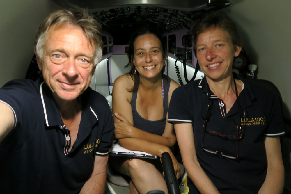
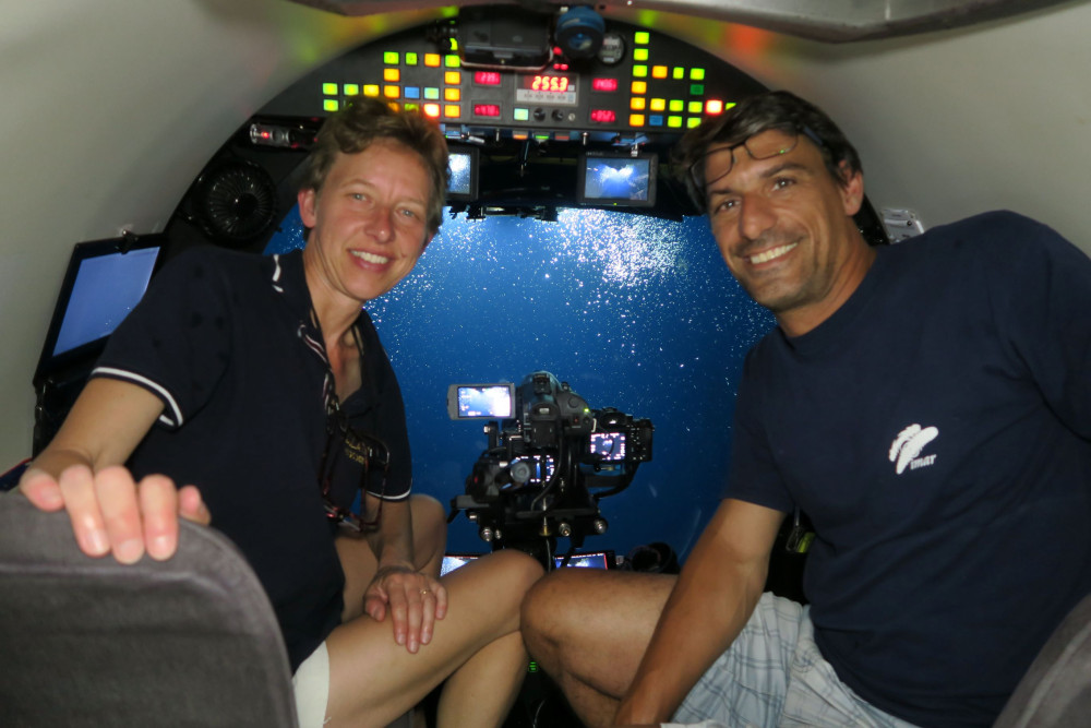
DeepWalls Project: Summer 2020 survey with submersible LULA1000
DeepWalls 2020
Loading cruise data…
DeepWalls Project: Summer 2020 survey with submersible LULA1000
Location: SE São Jorge, S Pico, S São Jorge
Year: 2020
5 stations
5 dives
3 areas visited
Summary
DeepWalls Project: Summer 2020 survey with submersible LULA1000
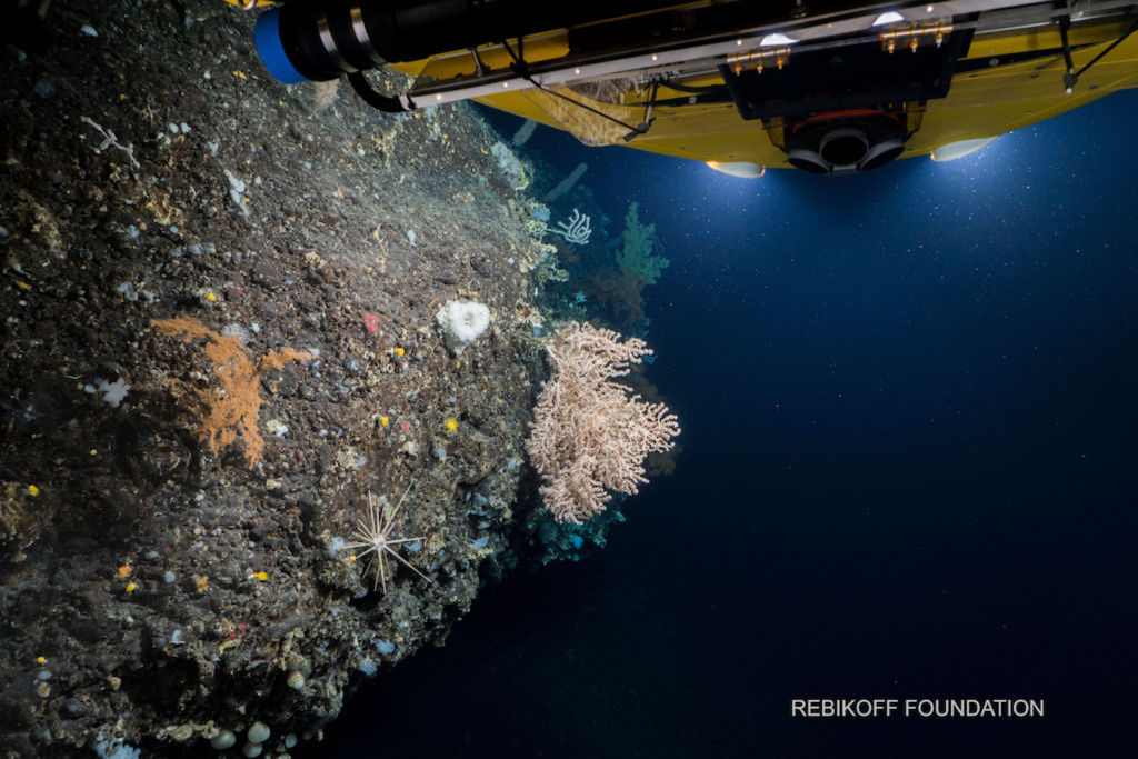
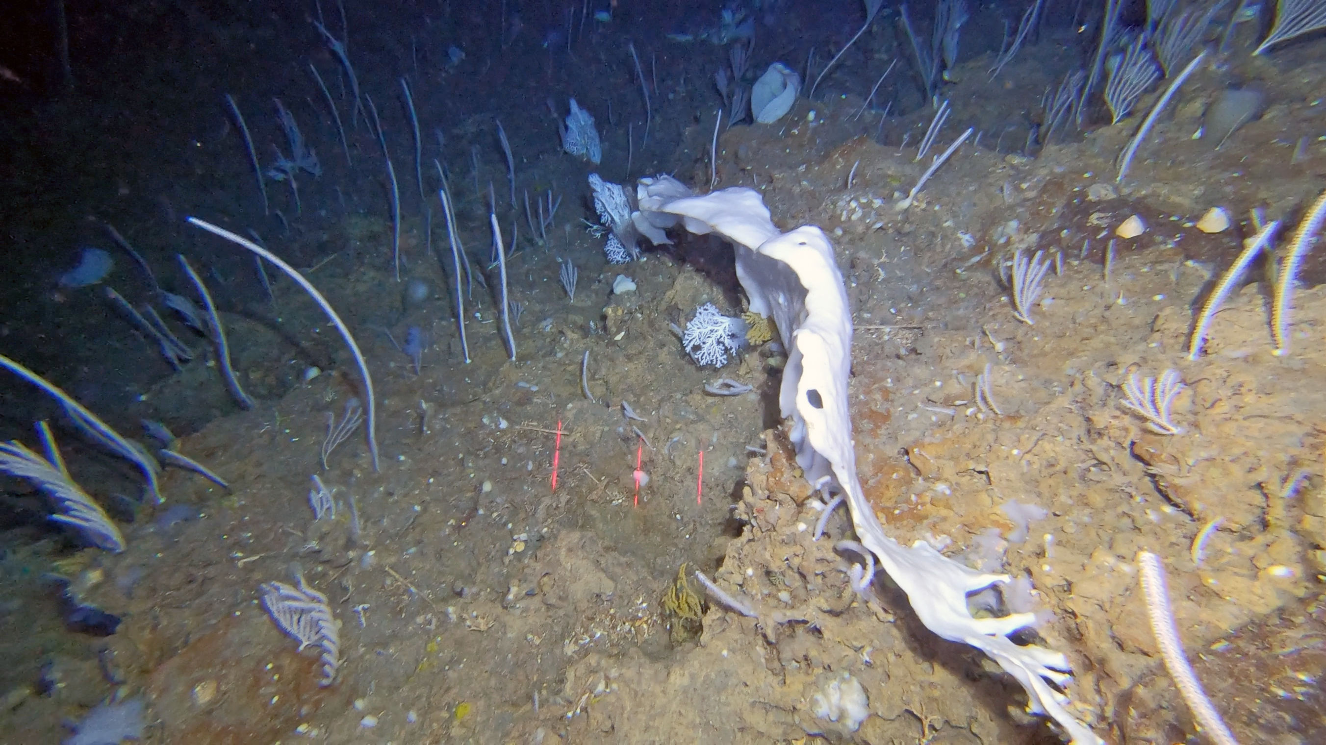
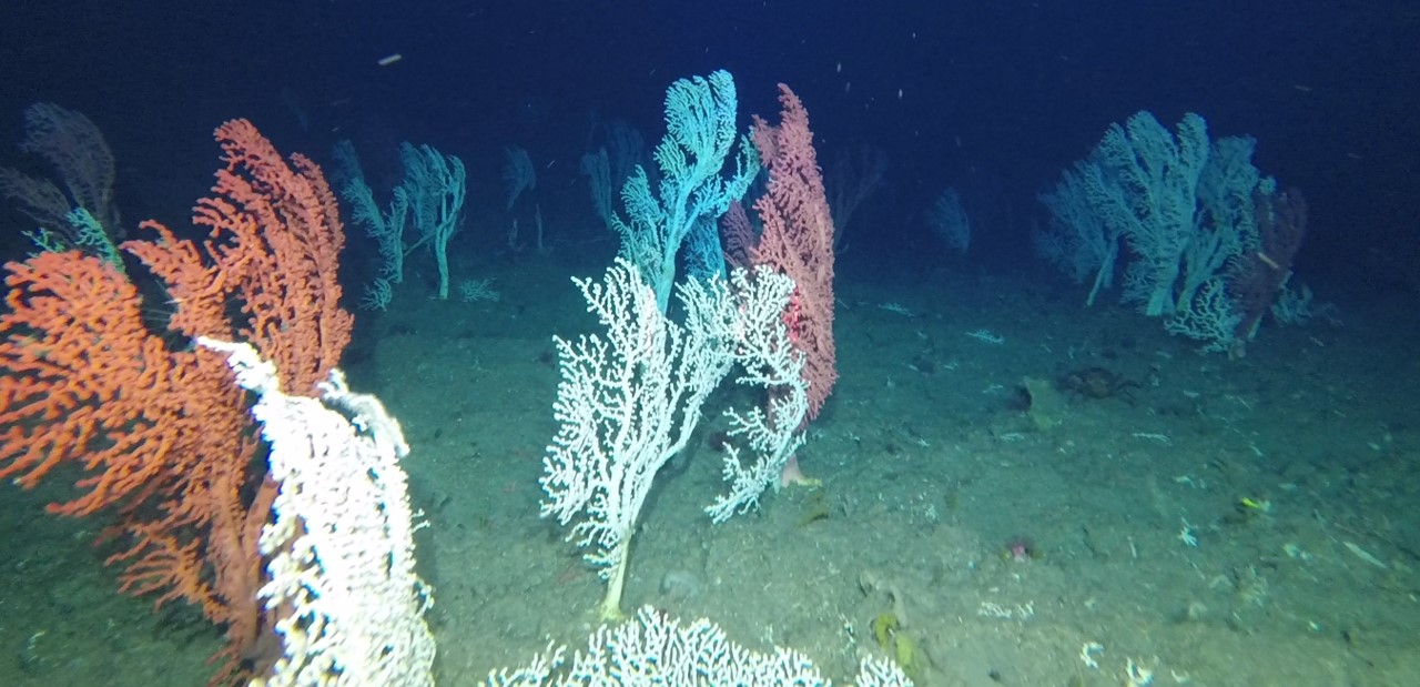
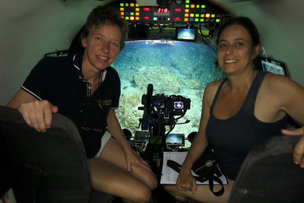
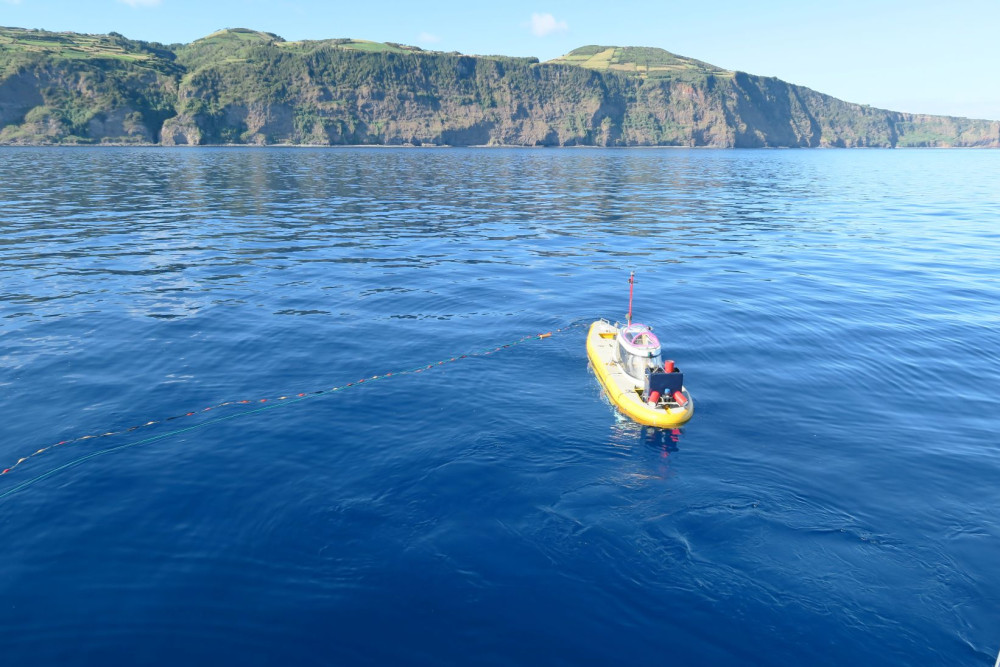
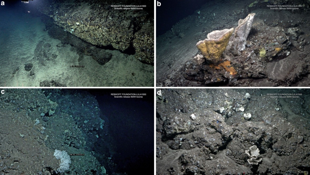
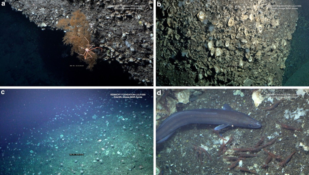
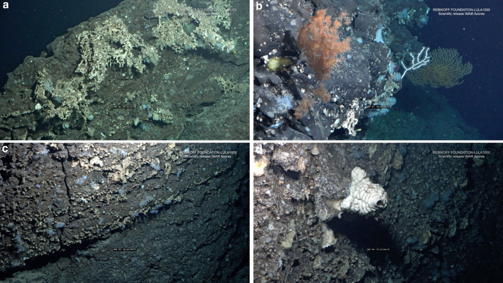
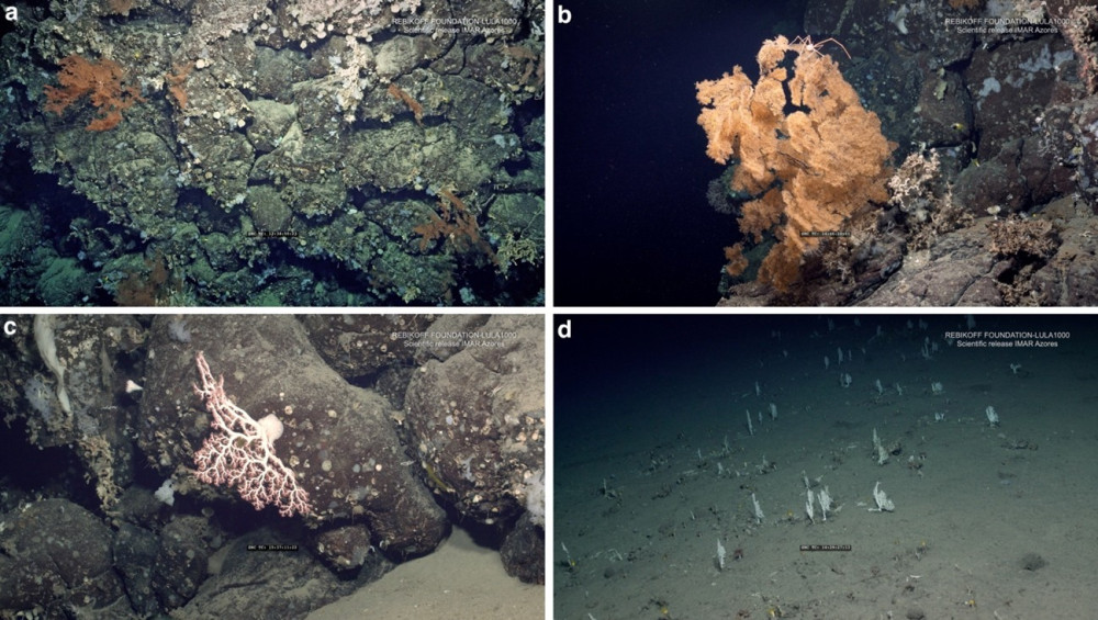
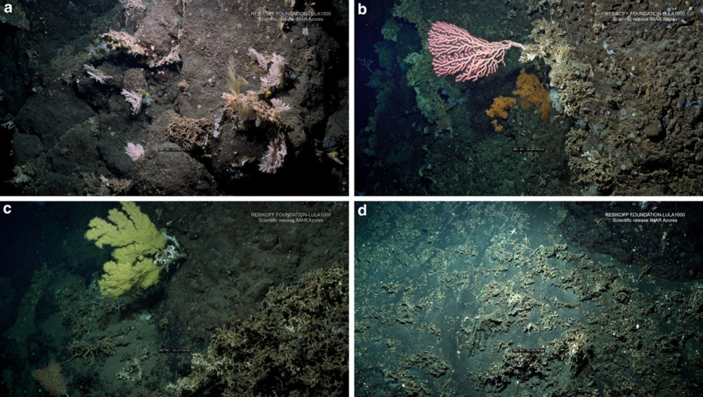
Deep-sea vertical walls have rarely been surveyed in the Azores due to the technical challenges they pose to operations using remotely operated vehicles (ROVs) connected to surface vessels via an umbilical. For this reason, the main objective of the DeepWalls survey was to identify and characterize megabenthic communities dwelling in vertical walls down to 1000 m depth in areas close to the islands of São Jorge and Pico. The images were recorded using the manned submersible LULA1000, capable of working down to depths of 1000 m, using two 4K resolution cameras, one of which was also used to generate photomosaics of areas of interest. The submersible is also equipped with a CTD that provides physico-chemical information about the composition of the water masses of the areas surveyed.
The DeepWalls survey aimed to characterize and map the distribution of deep-sea megafaunal communities associated with vertical walls in the Azores by means of the submarine LULA1000 of the Rebikoff-Niggeler Foundation. The dives were designed to shed light in the species composition, diversity, abundance and size of the main benthic species found on vertical walls down to 1000 m depth around the islands of Pico and São Jorge. Further, the data obtained also aimed to generate new records of VMEs occurrences associated with deep-sea vertical walls and to estimate baseline conditions in the context of Good Environmental Status (GES).
Statistics
Highlights
Location of operation
SE São Jorge, S Pico, S São Jorge
Stations
DeepWalls 2020
Activities
Cruise crew
Chief scientist
Scientific crew
Collaborators

Images
Dives images


Location
Departamento de Oceanografia e Pescas — Universidade dos Açores
Rua Prof. Doutor Frederico Machado, No. 4
9901-862 Horta, Portugal
Contact
Email: azoresdeepsea@gmail.com
AZORES DEEP-SEA RESEARCH © 2020-2026 — RELEASE 2.1
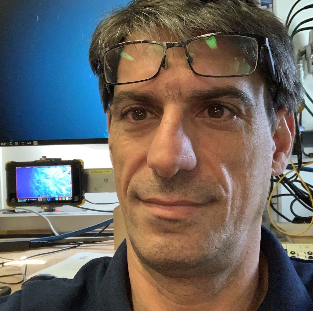
 VALTER MEDEIROS