

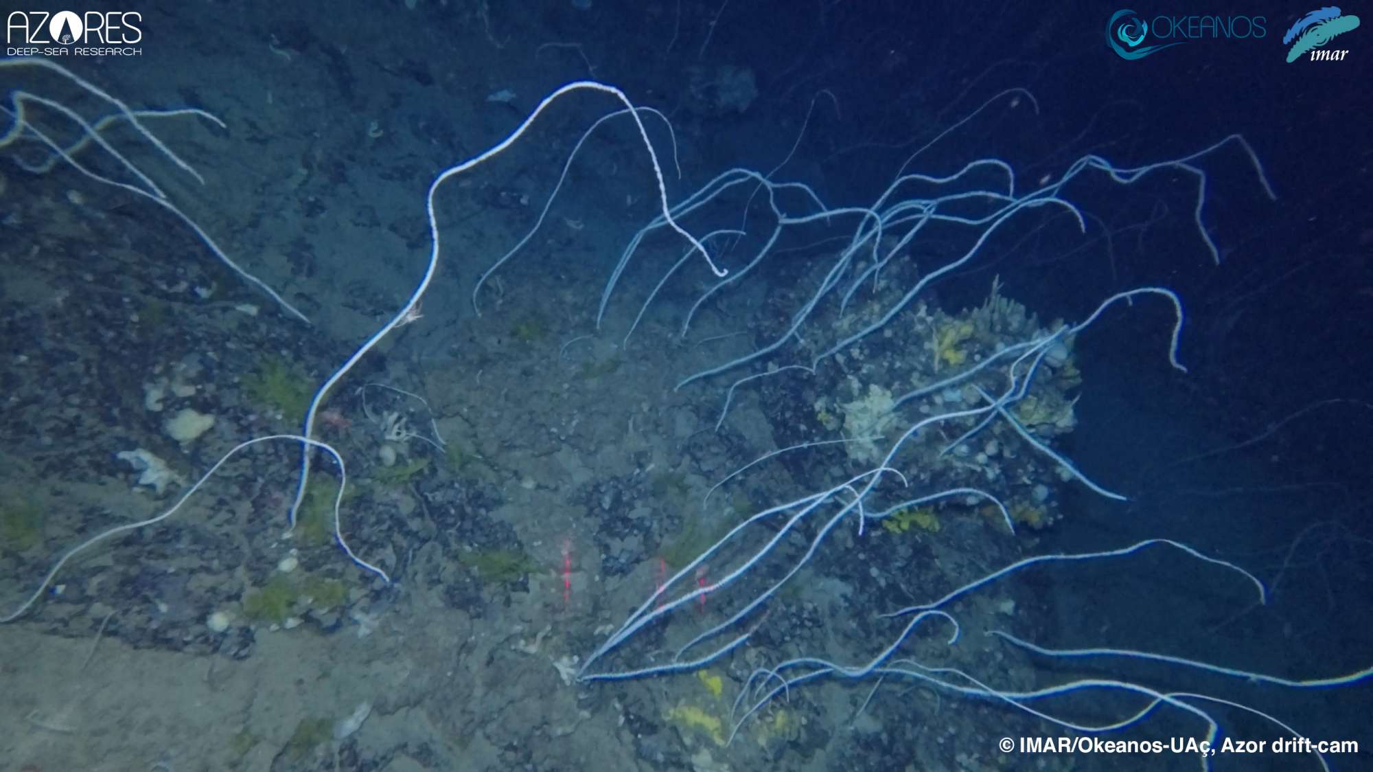
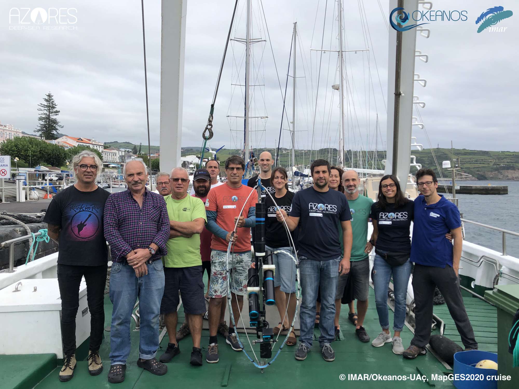
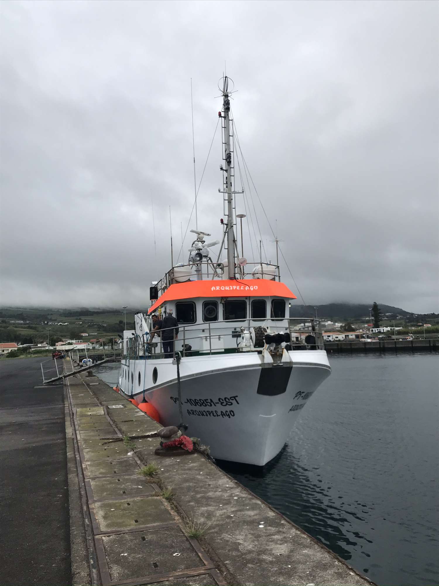
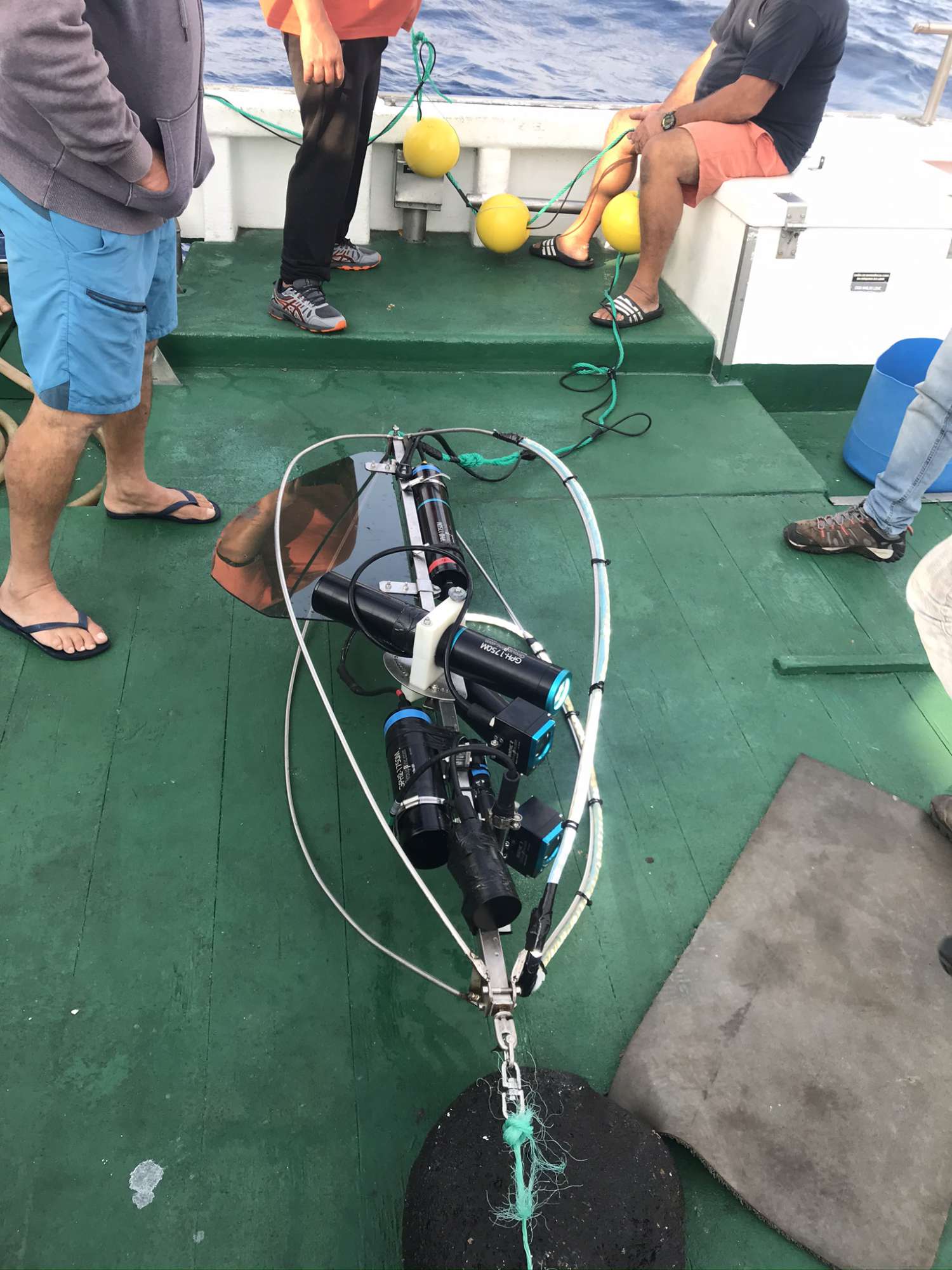
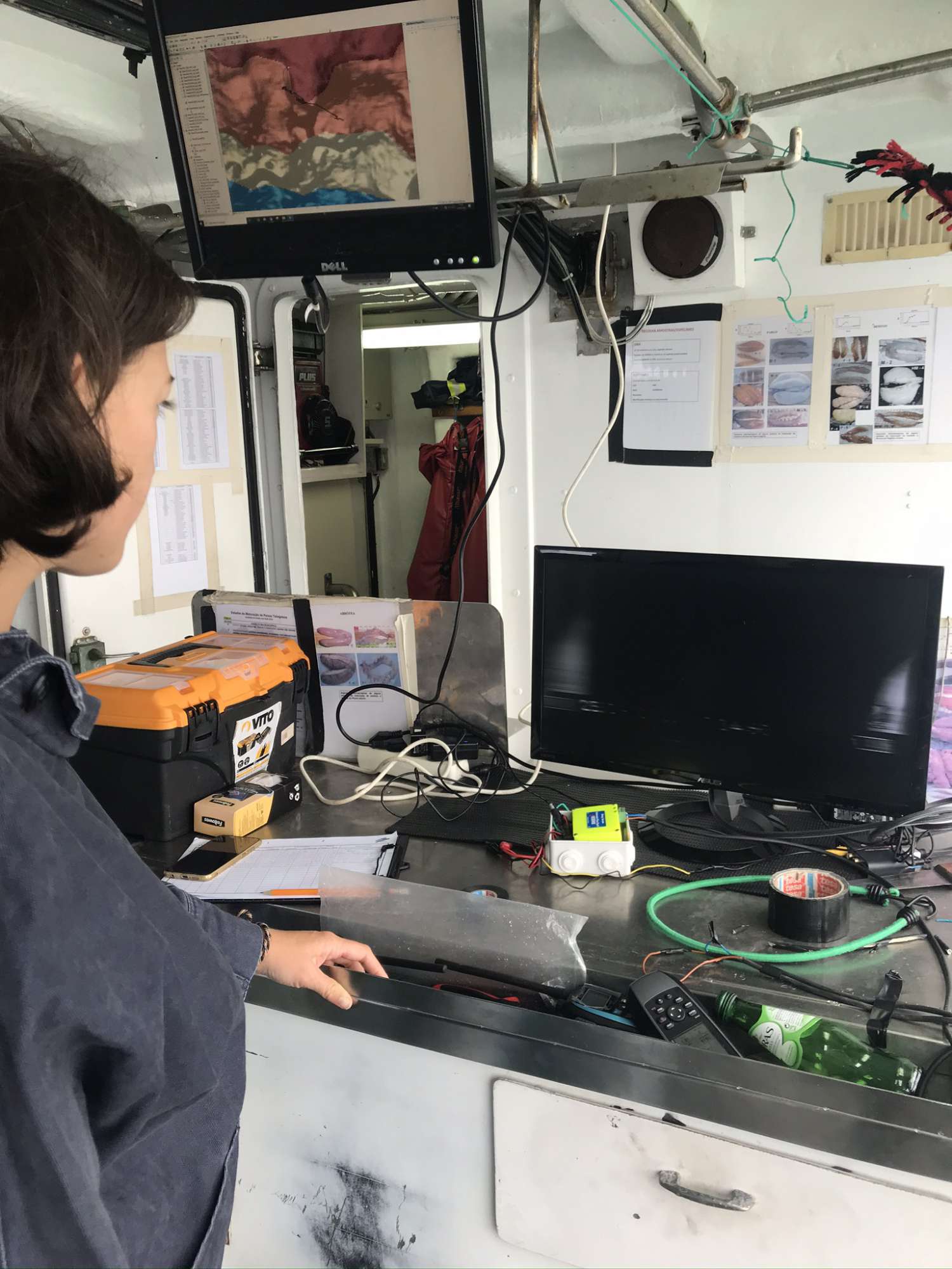
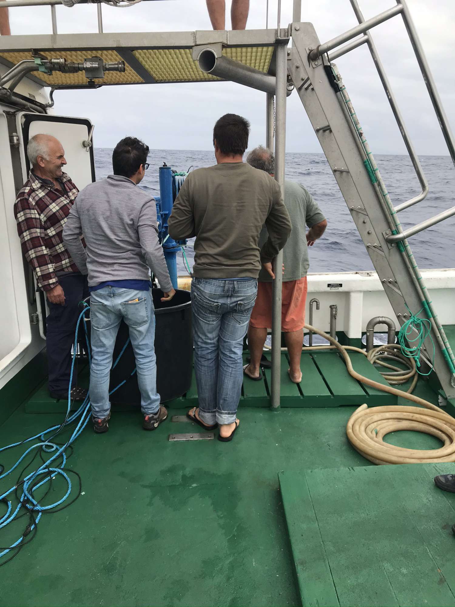
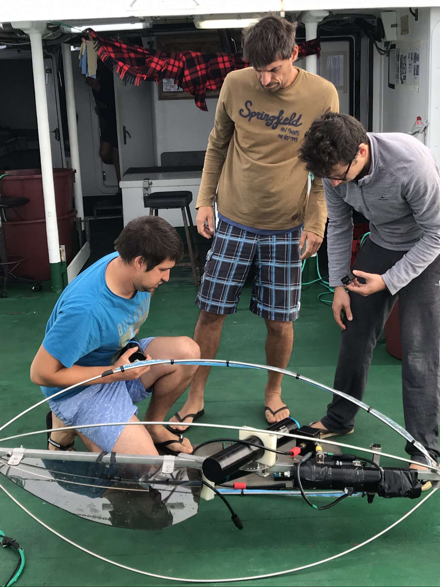
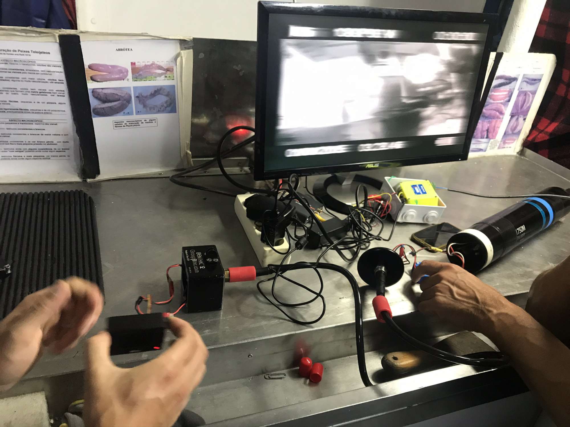
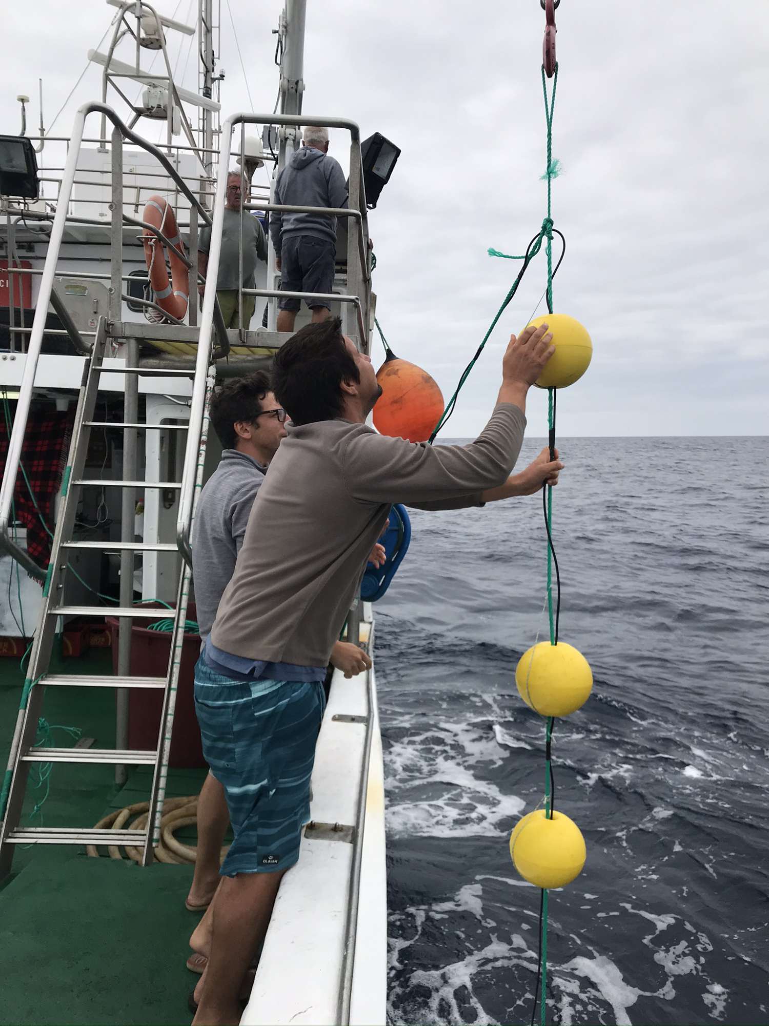
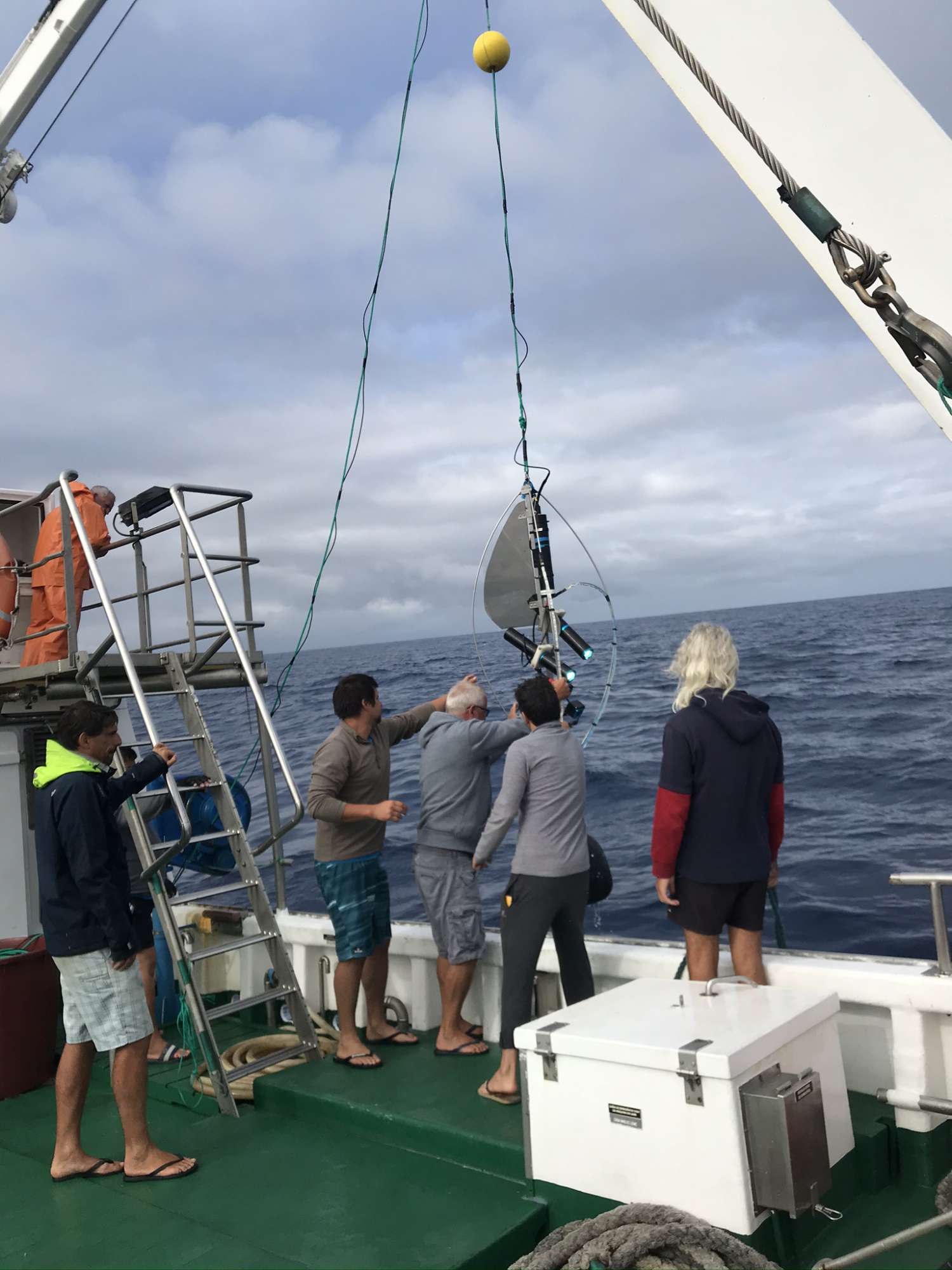
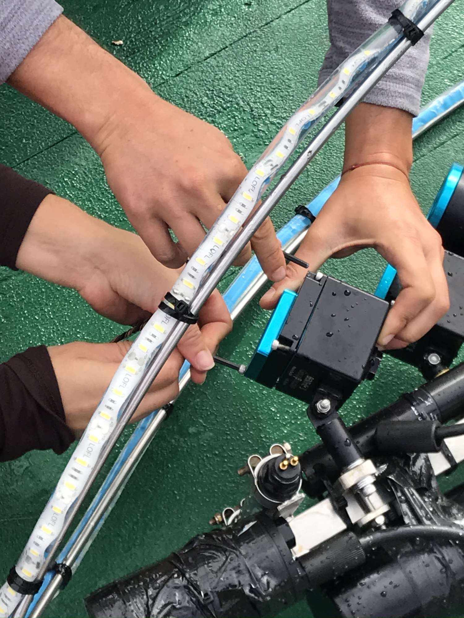
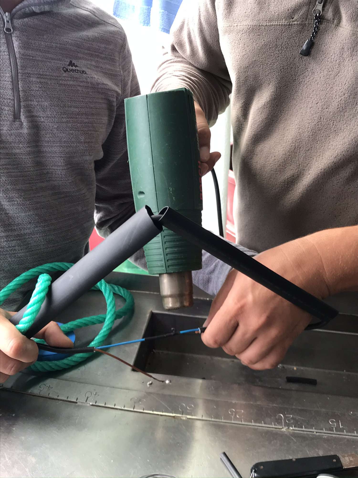
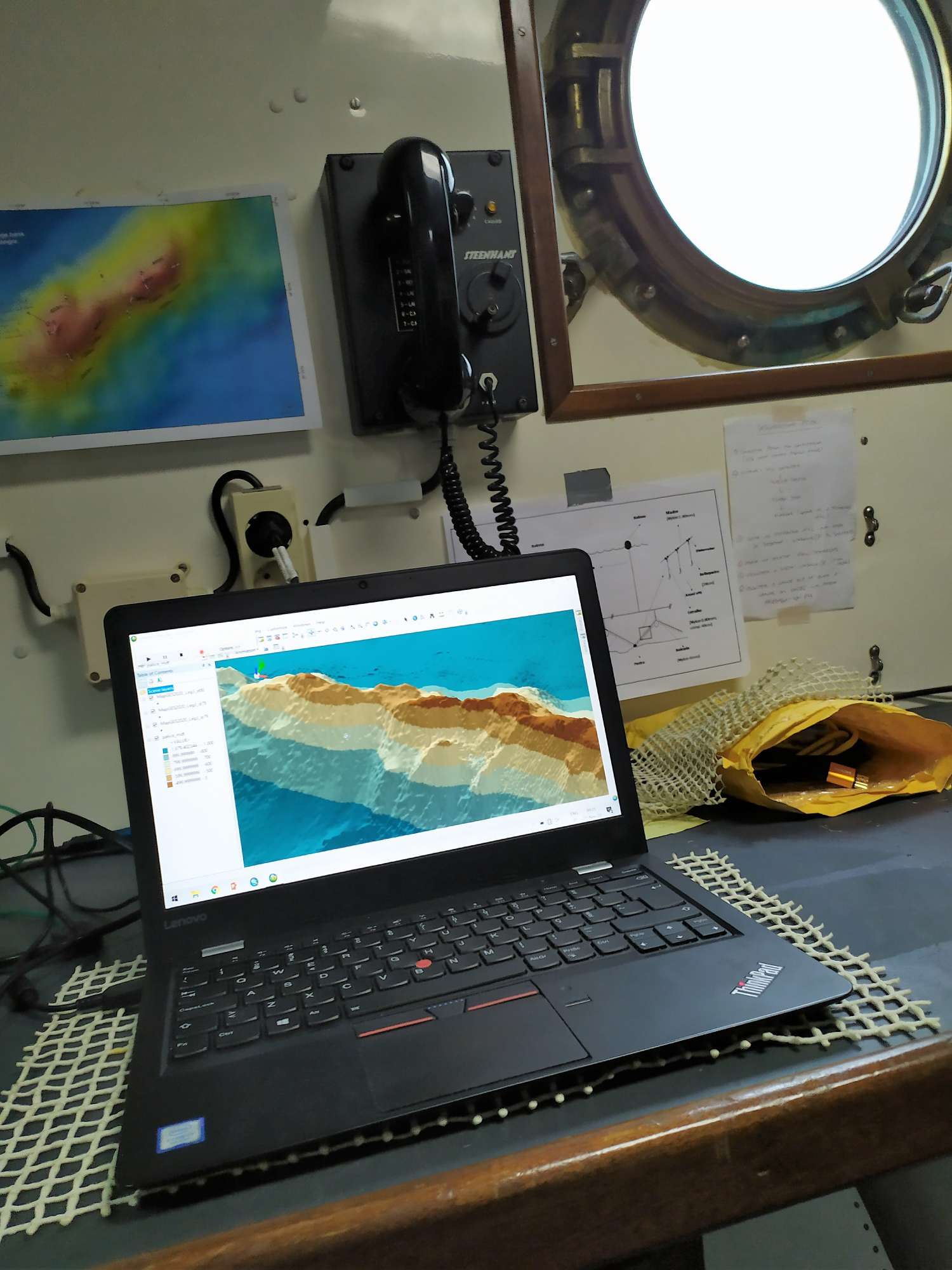
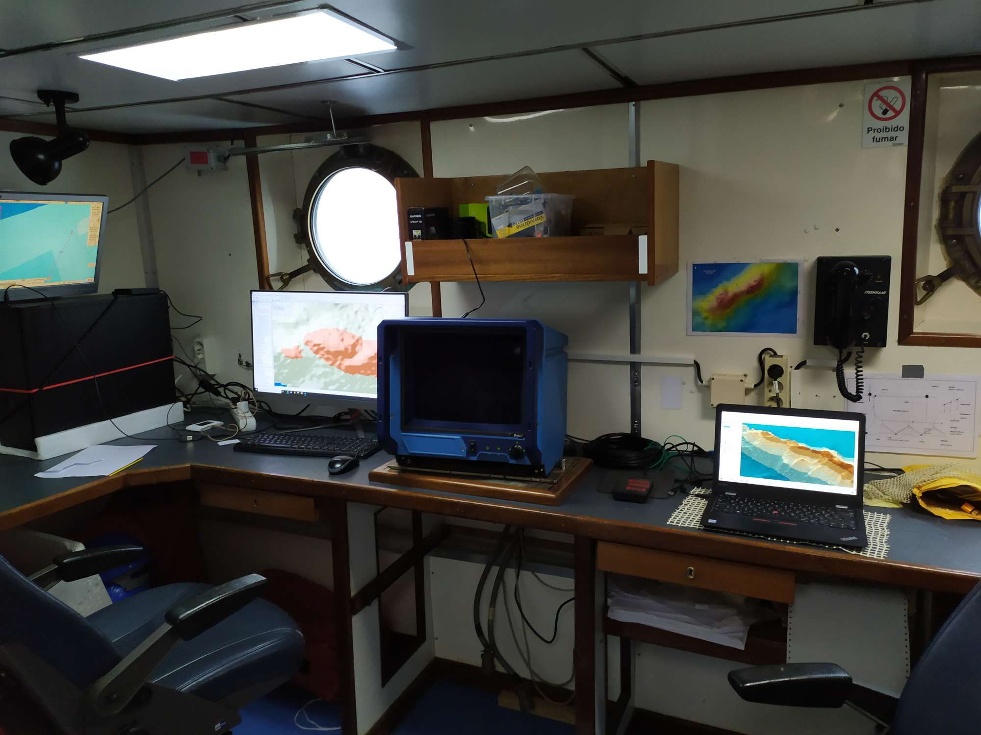
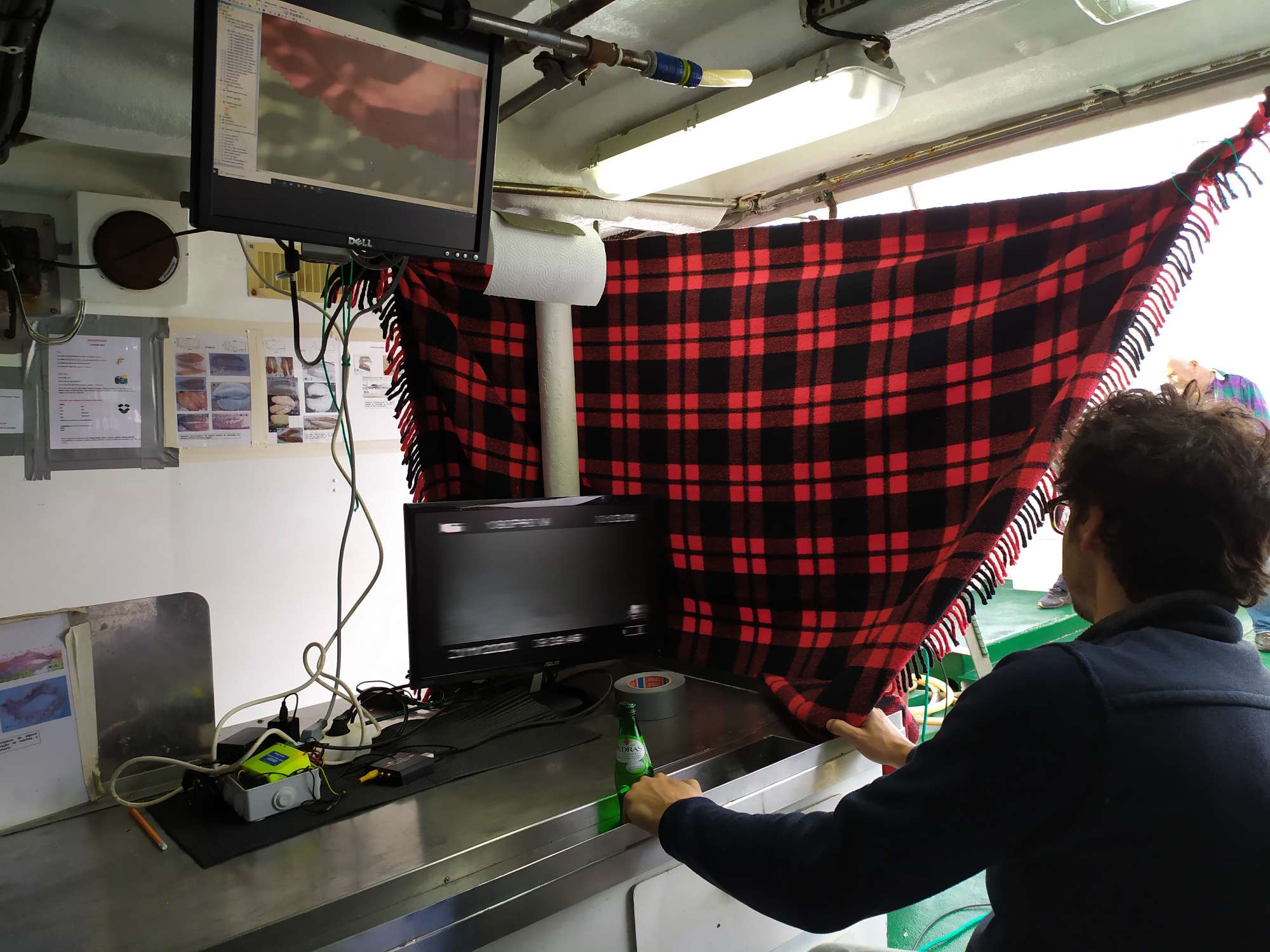
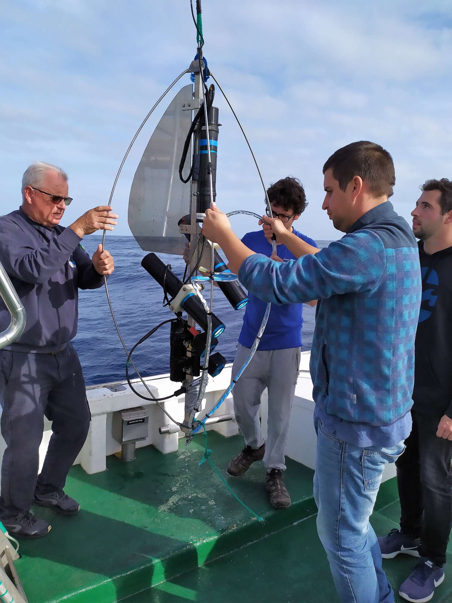
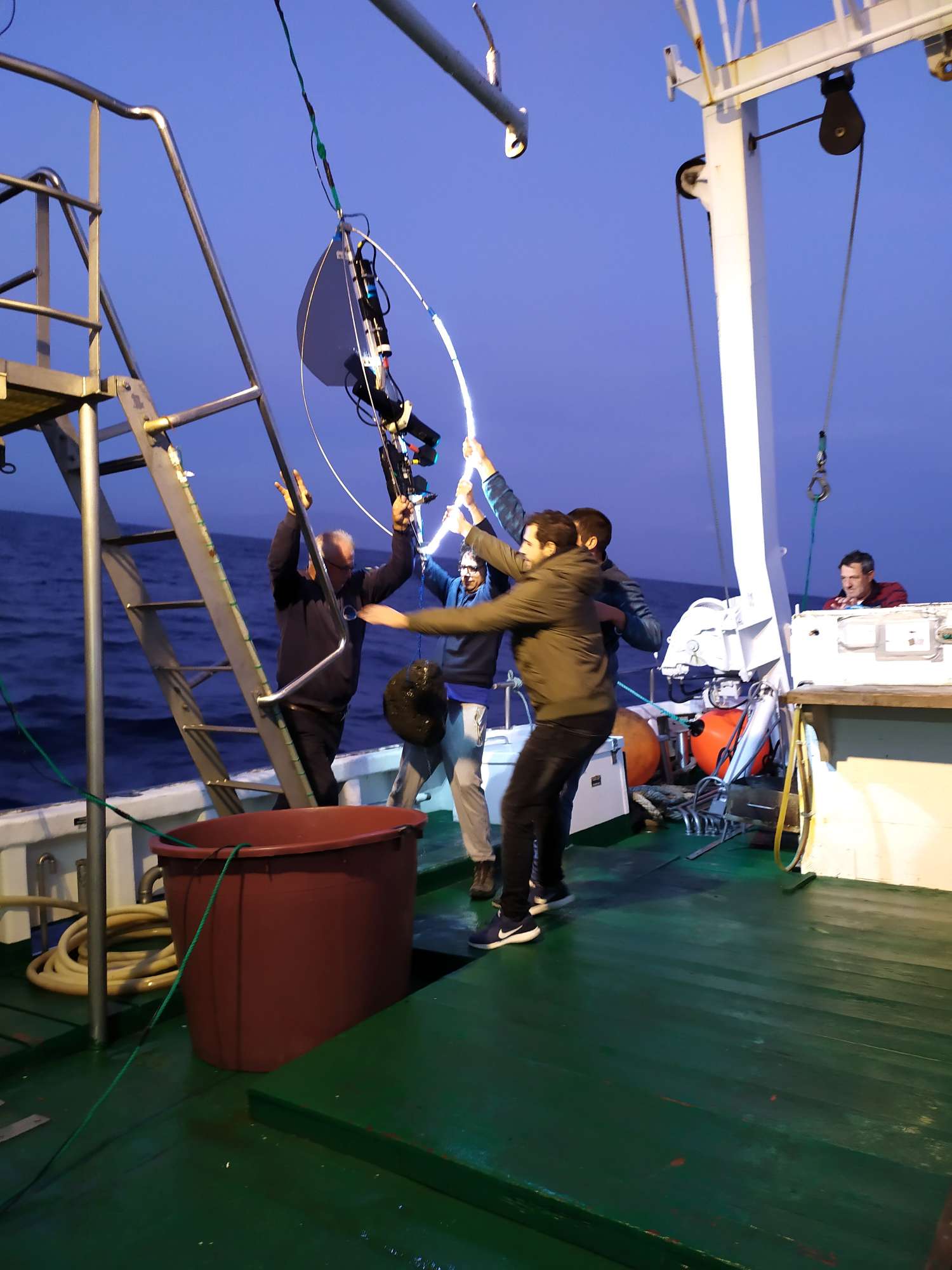
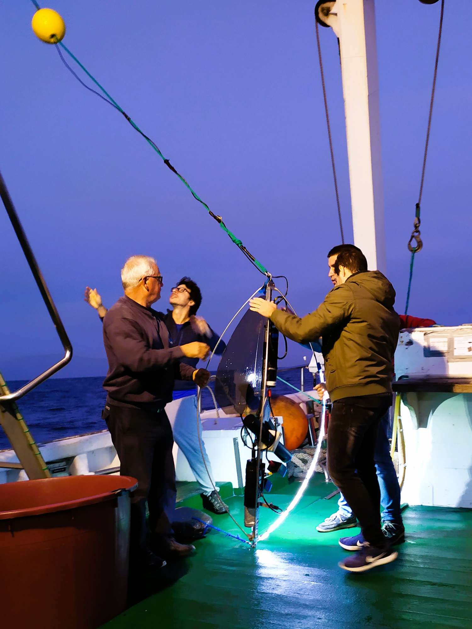
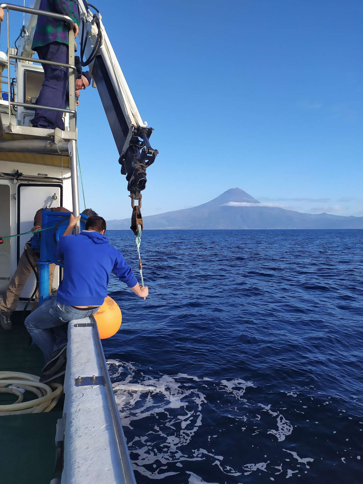
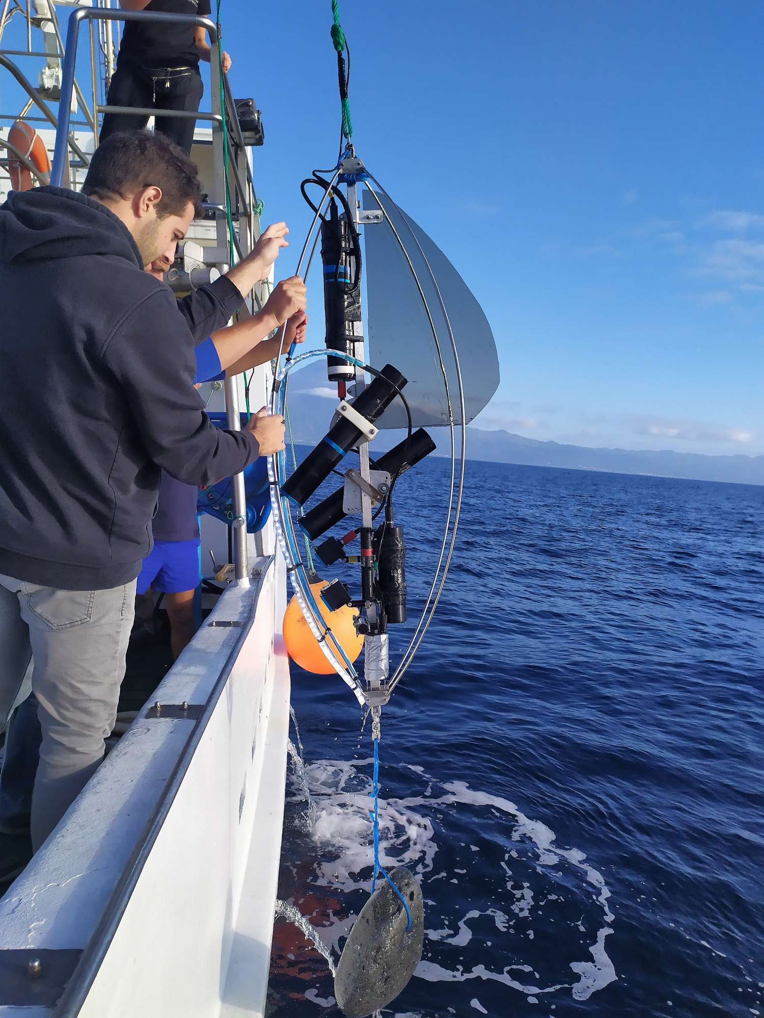
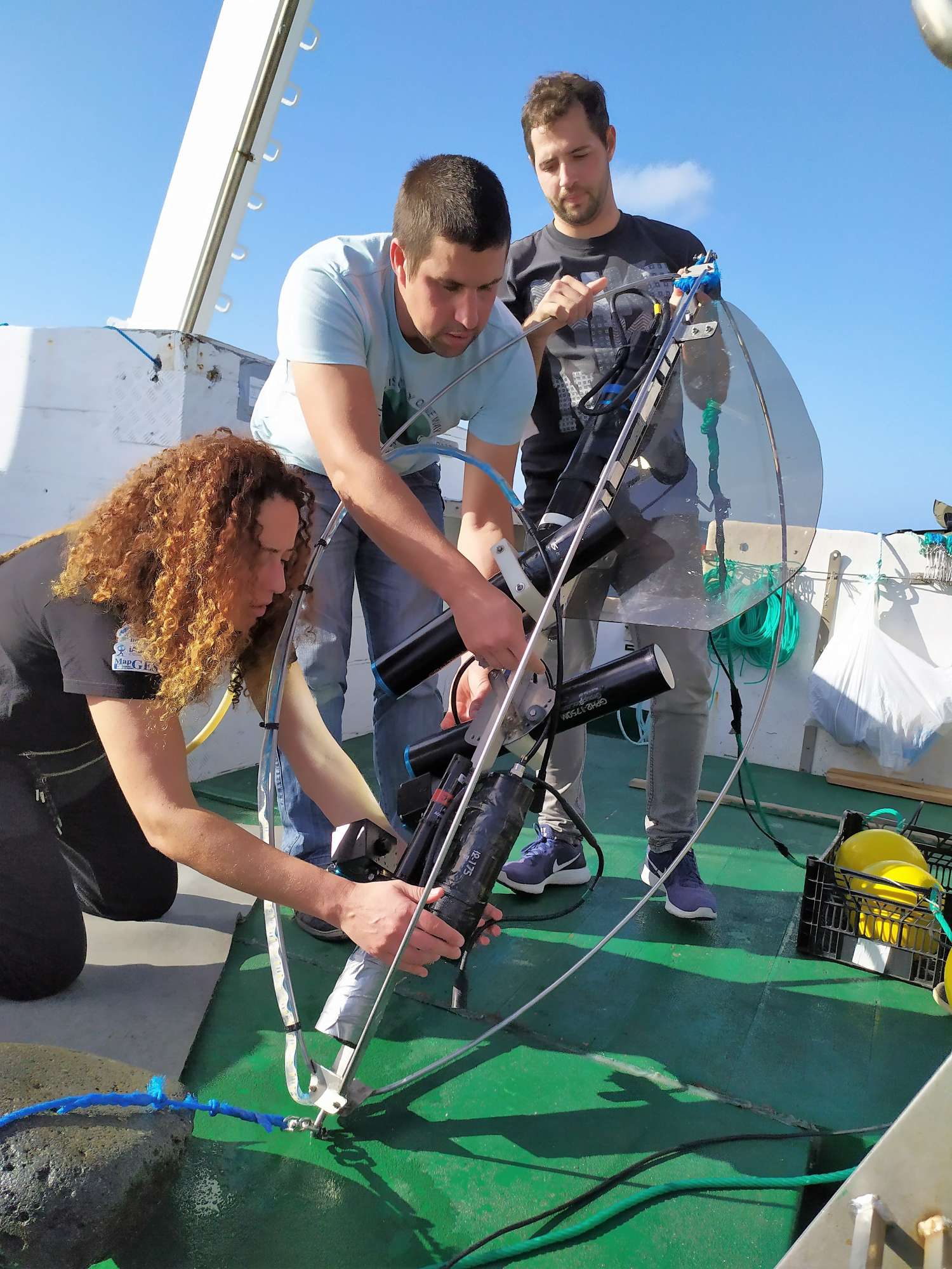
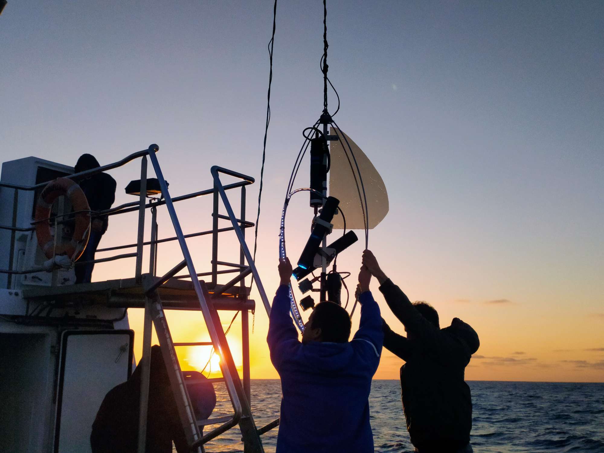
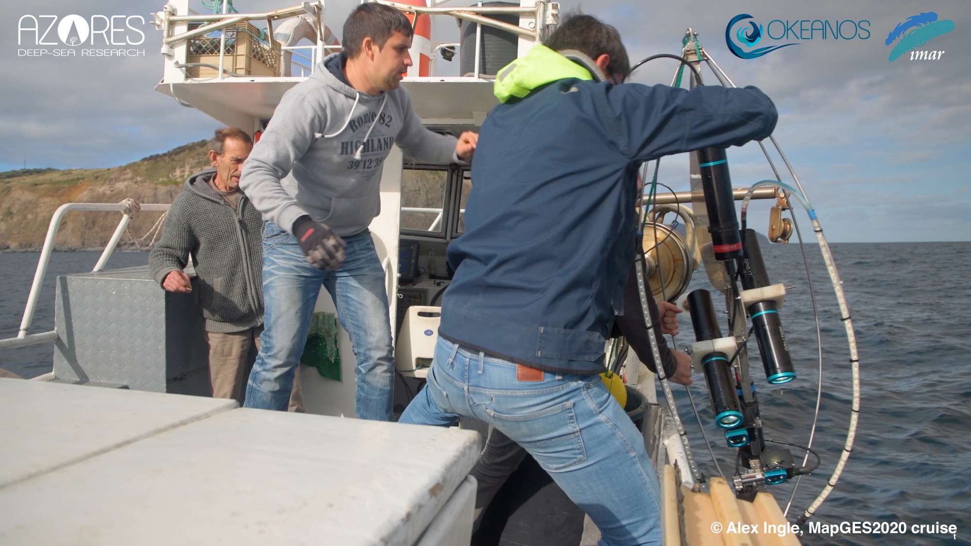
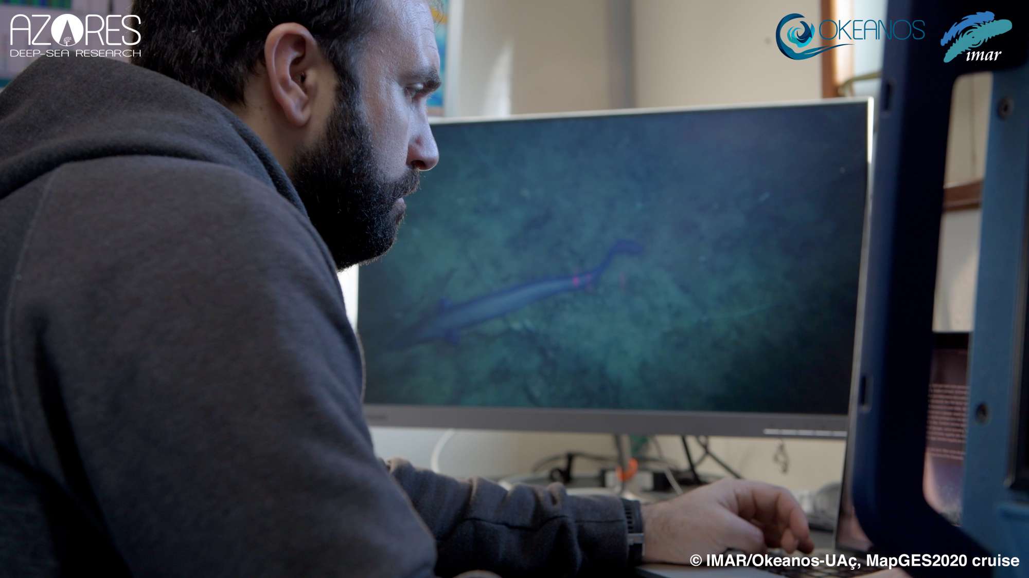
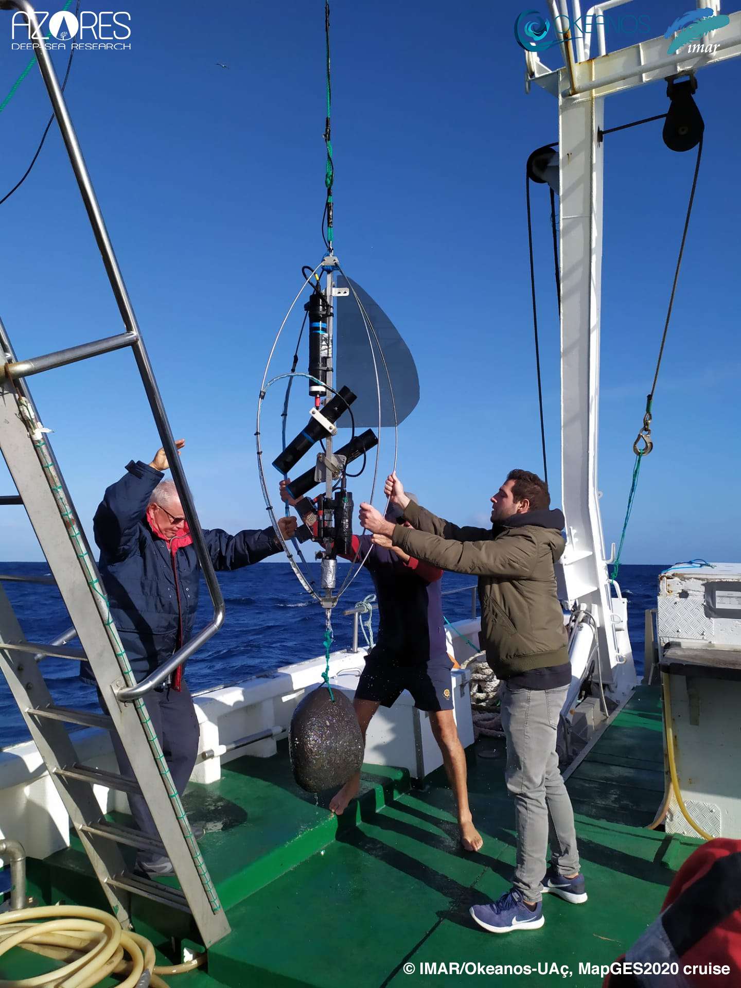
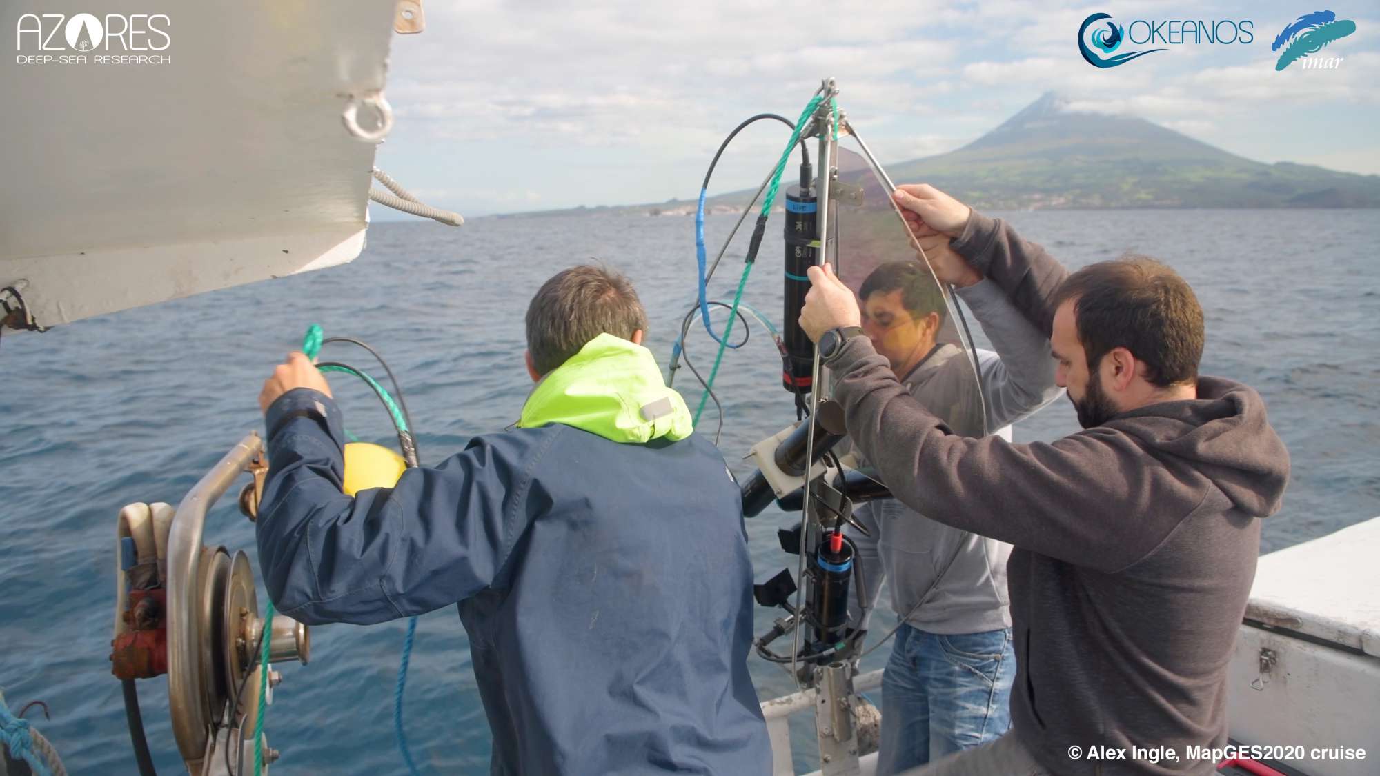
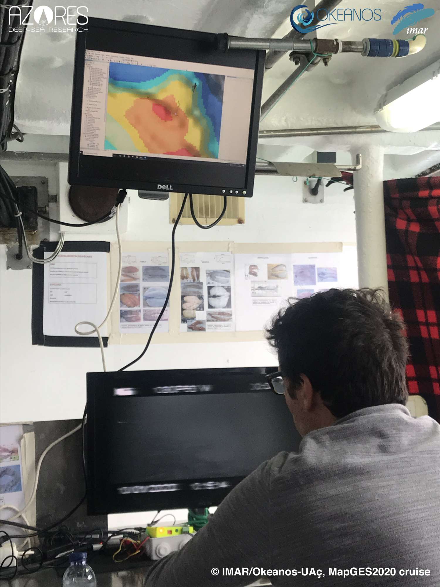
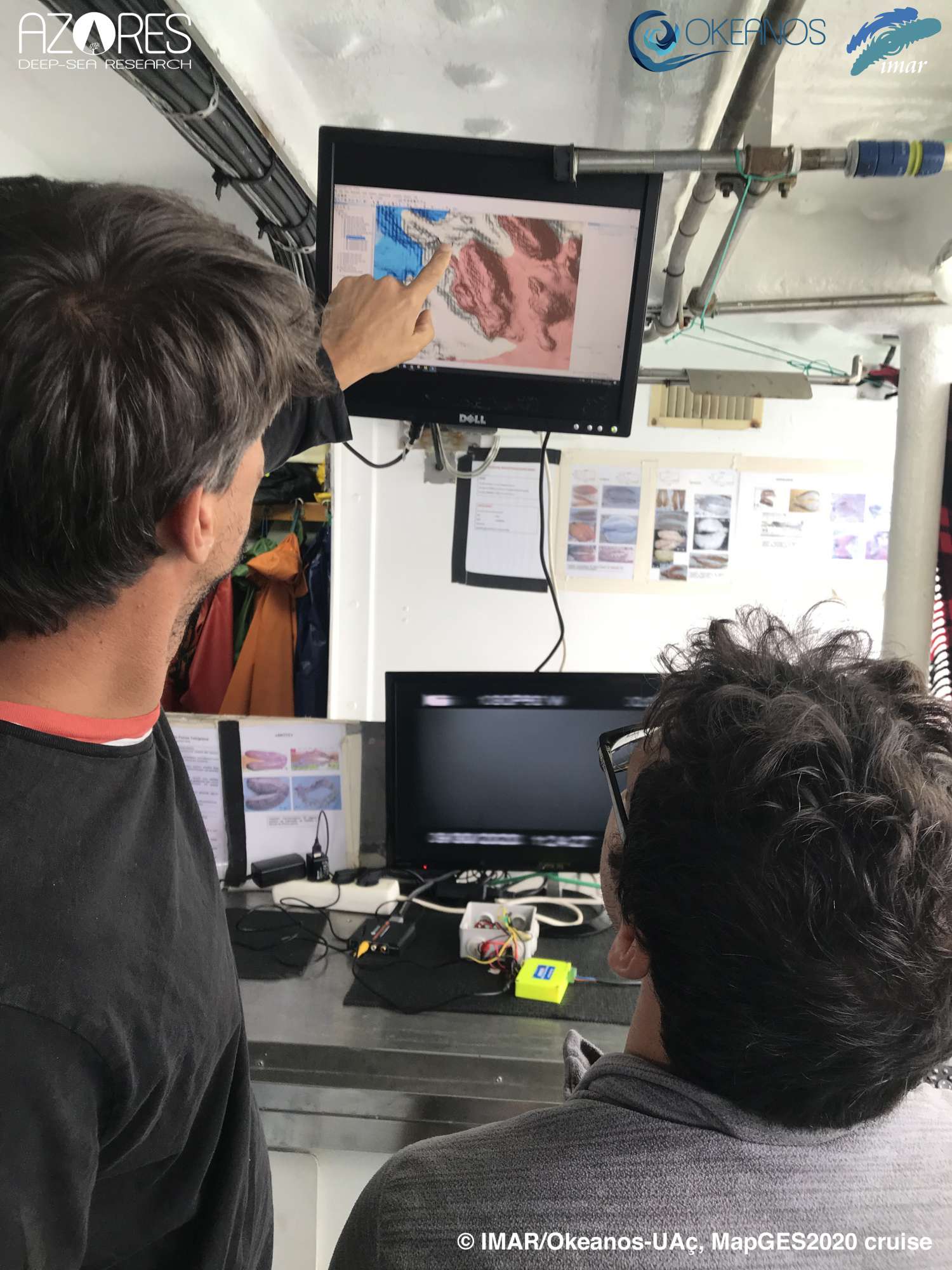
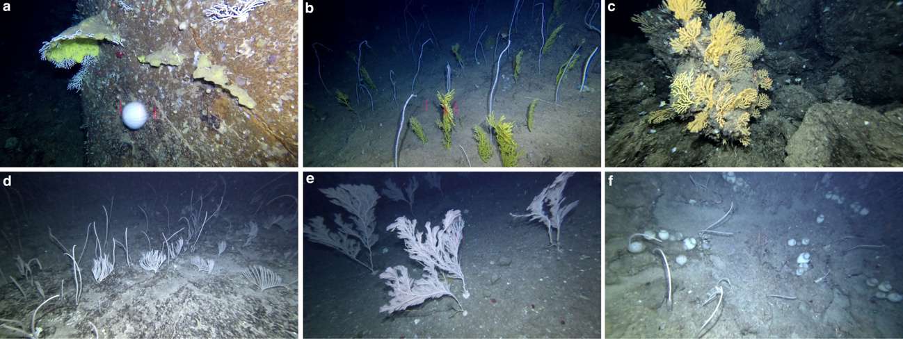
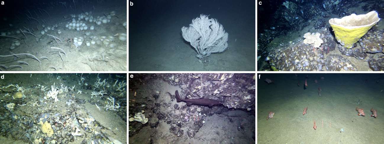
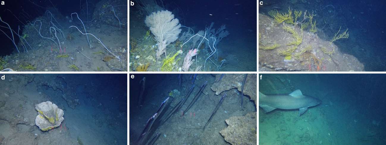
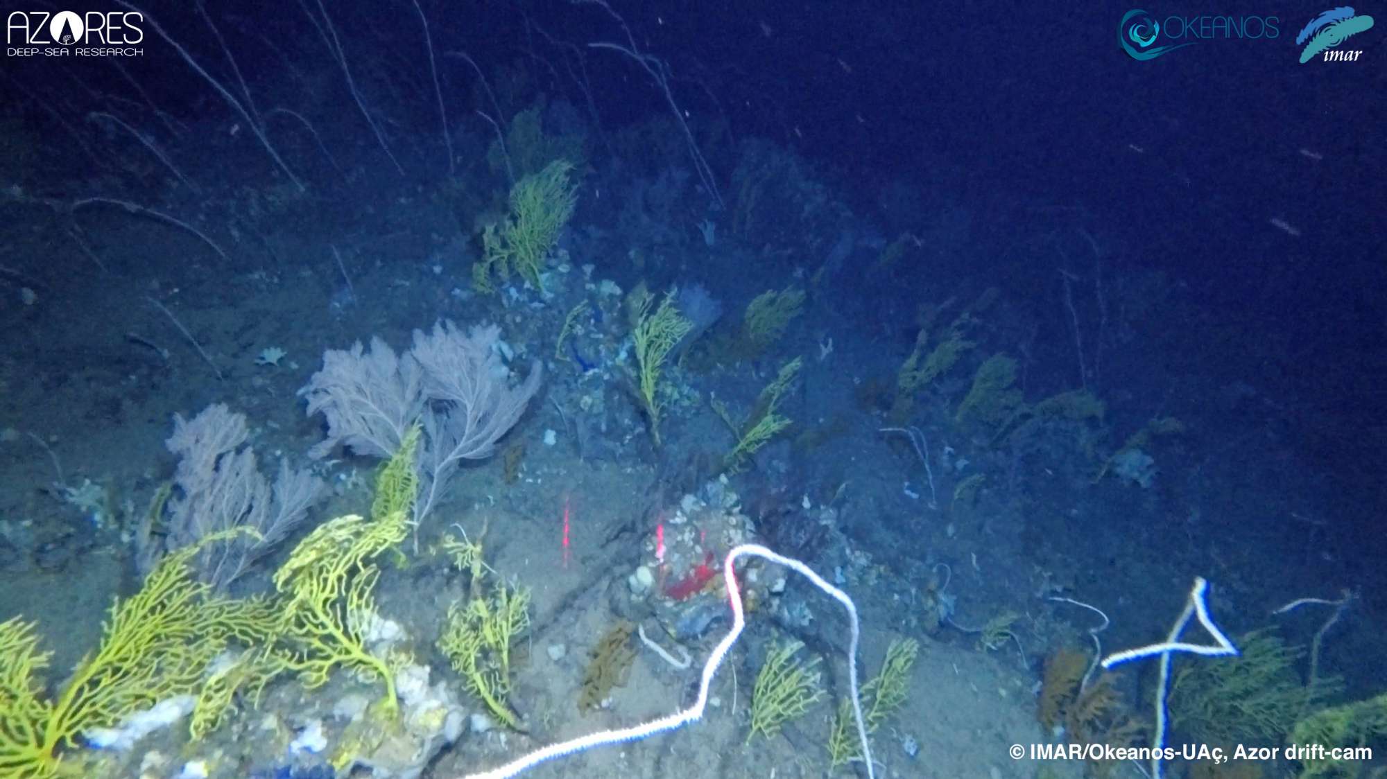
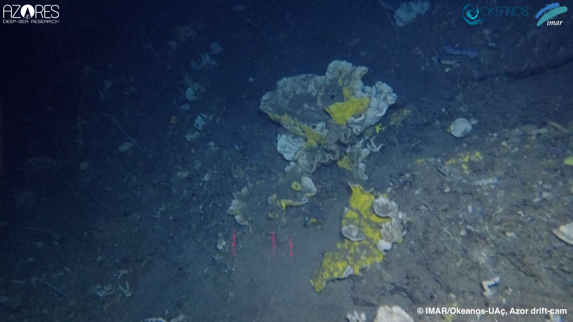
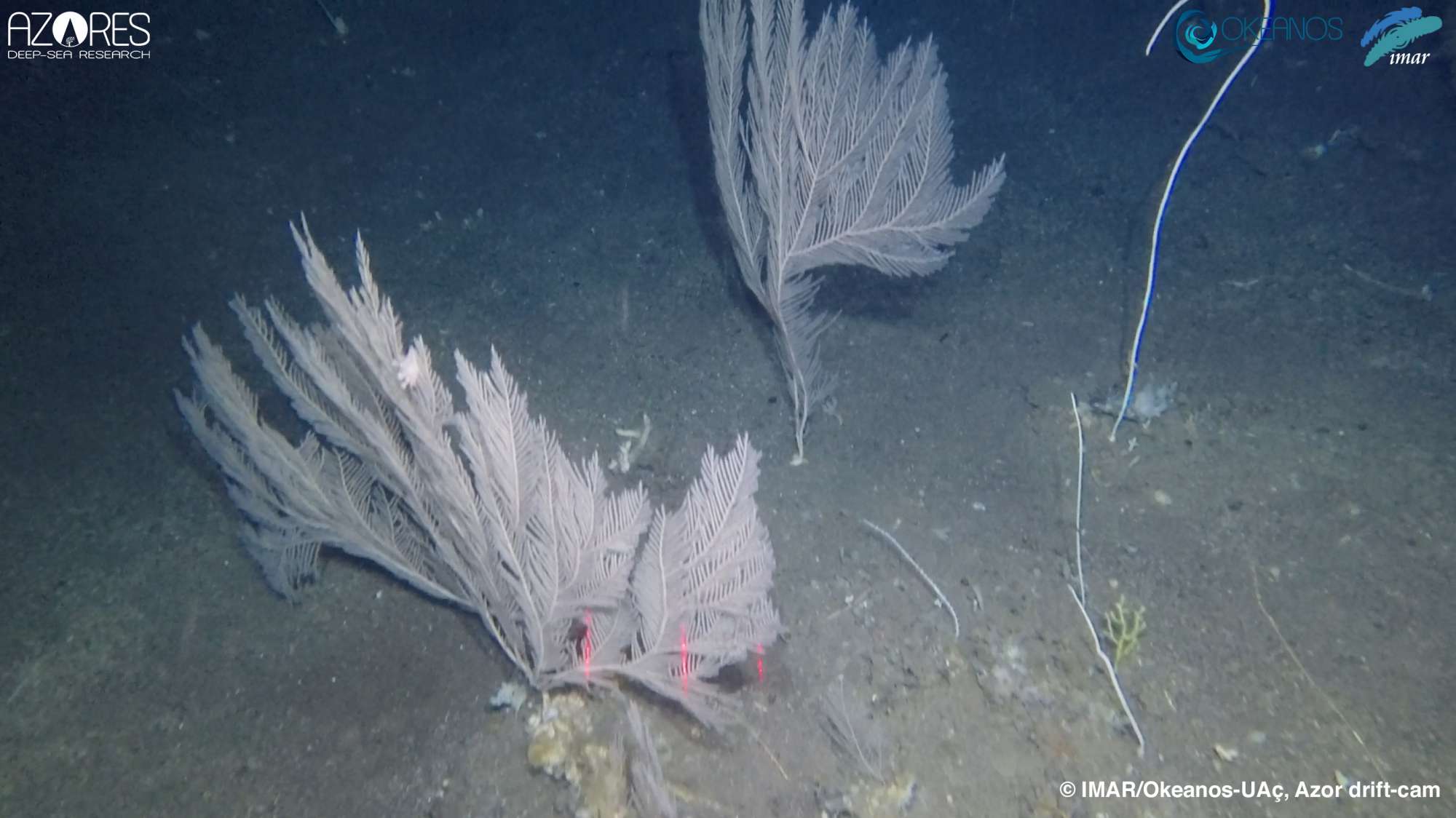
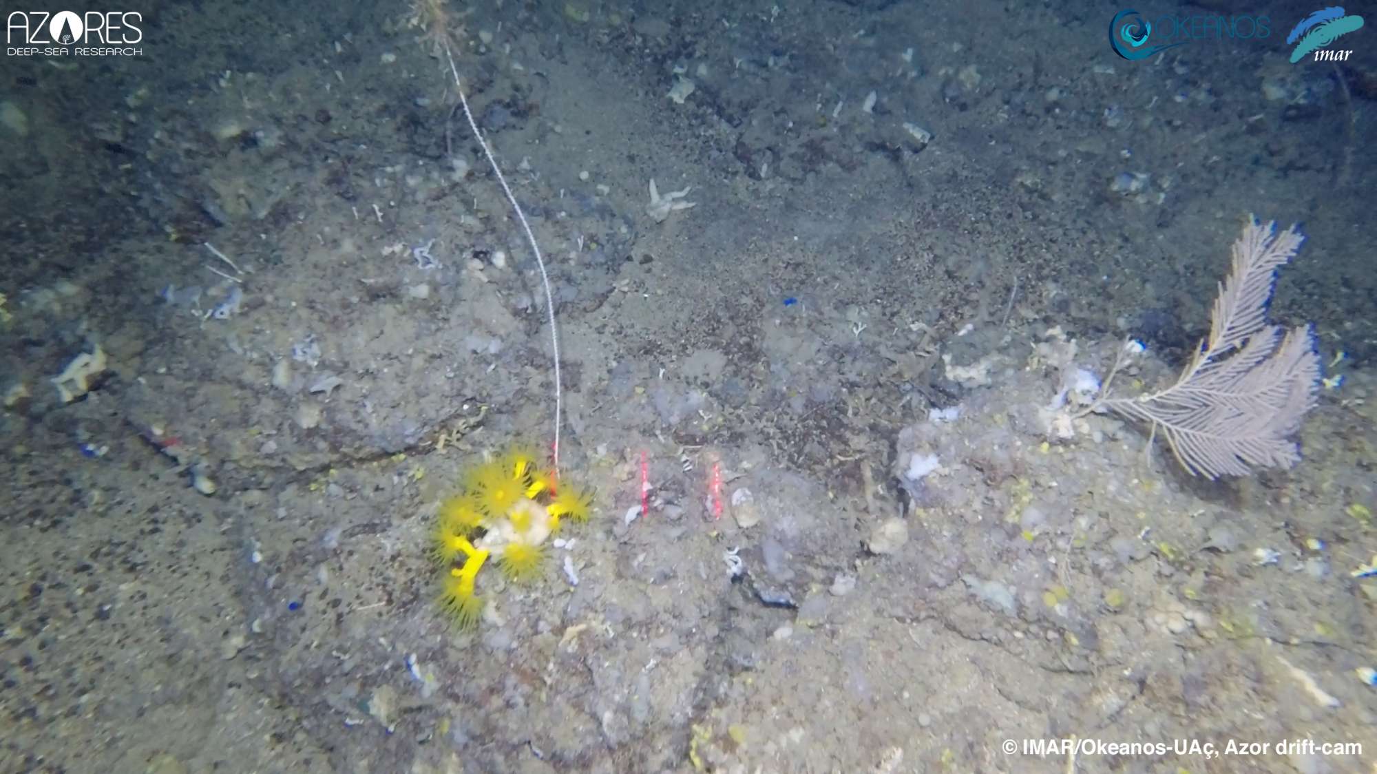
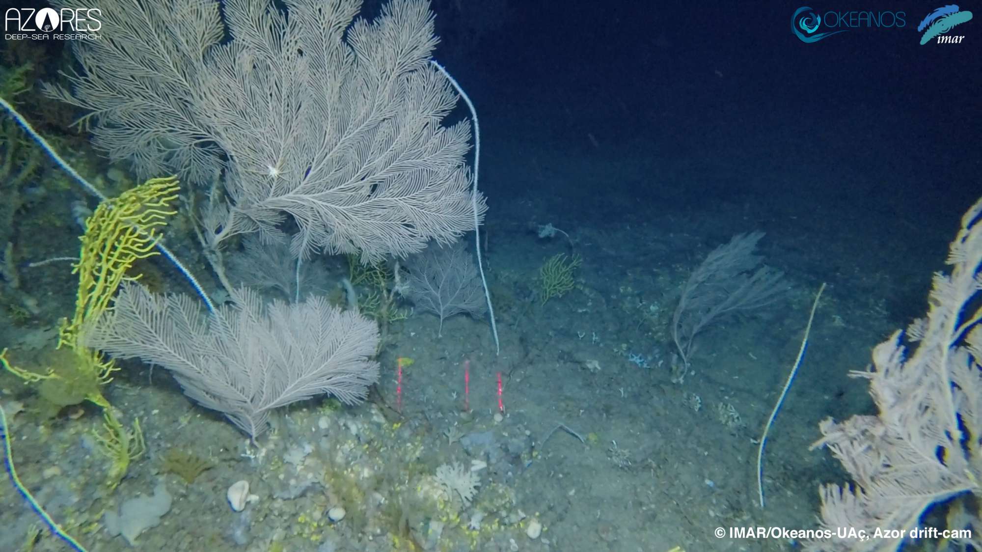
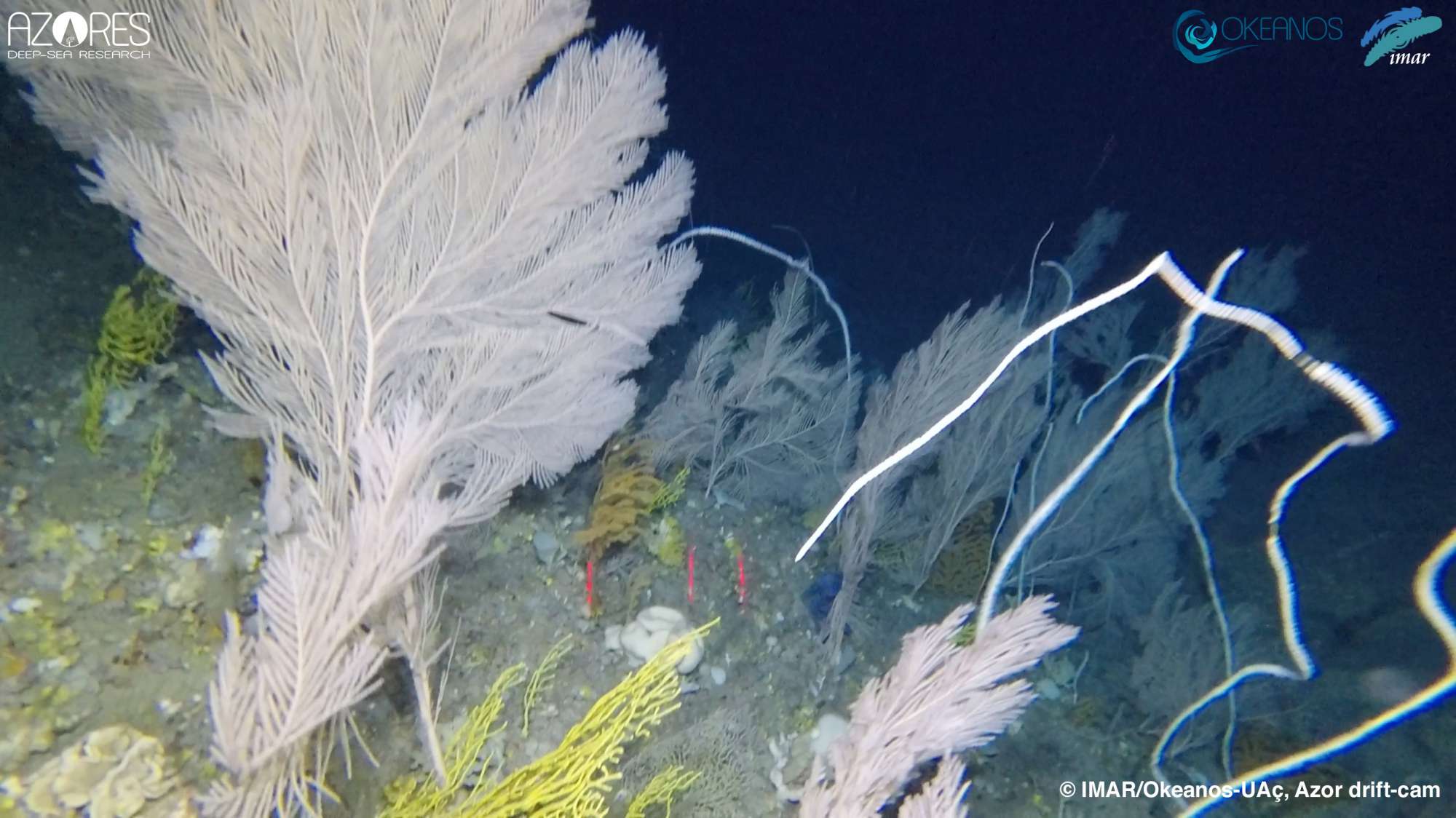
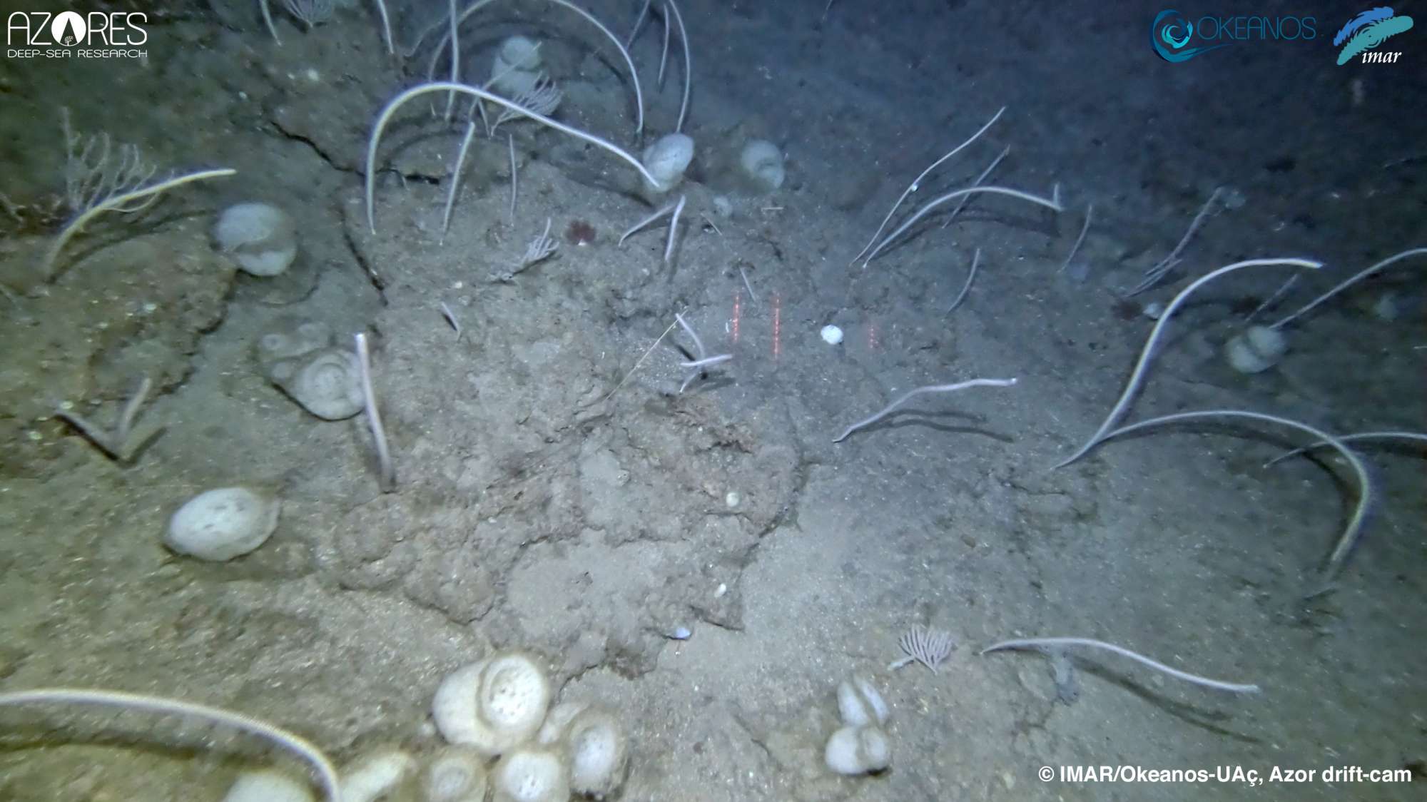
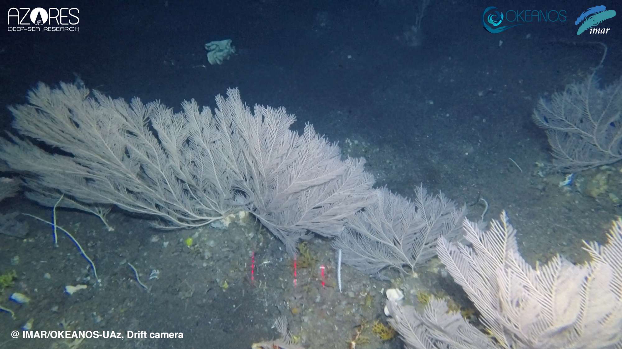
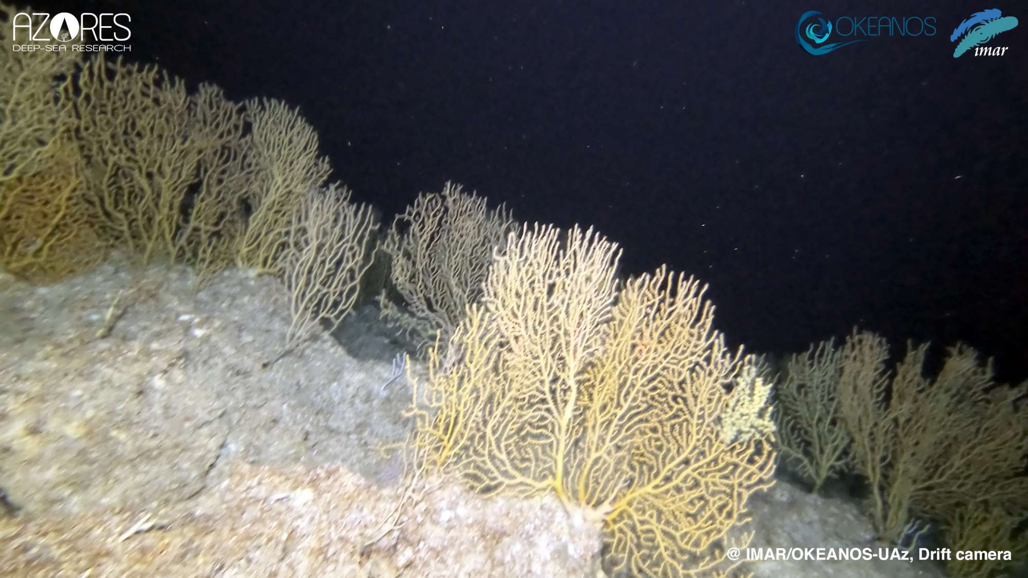
MapGES 2020 aimed to map deep-sea biodiversity and identify Vulnerable Marine Ecosystems (VMEs) using the Azor drift-cam system. The system was deployed both from the fishing vessel Galinha and from the RV Arquipélago, from the University of the Azores. The objectives of this cruise were to (i) map benthic communities inhabiting unexplored seamounts, ridges and island slopes, (ii) identify new areas that fit the FAO Vulnerable Marine Ecosystem definition; and (iii) determine distribution patterns of deep-sea benthic biodiversity in the Azores. The results of this cruise contributed to identifying the environmental drivers that determine the spatial distribution of deep-sea benthic biodiversity in the Azores region. It also provided valuable information in the context of Good Environmental Status (GES), Marine Spatial Planning (MSP) and provide new insights on how to sustainably manage deep-sea ecosystems.

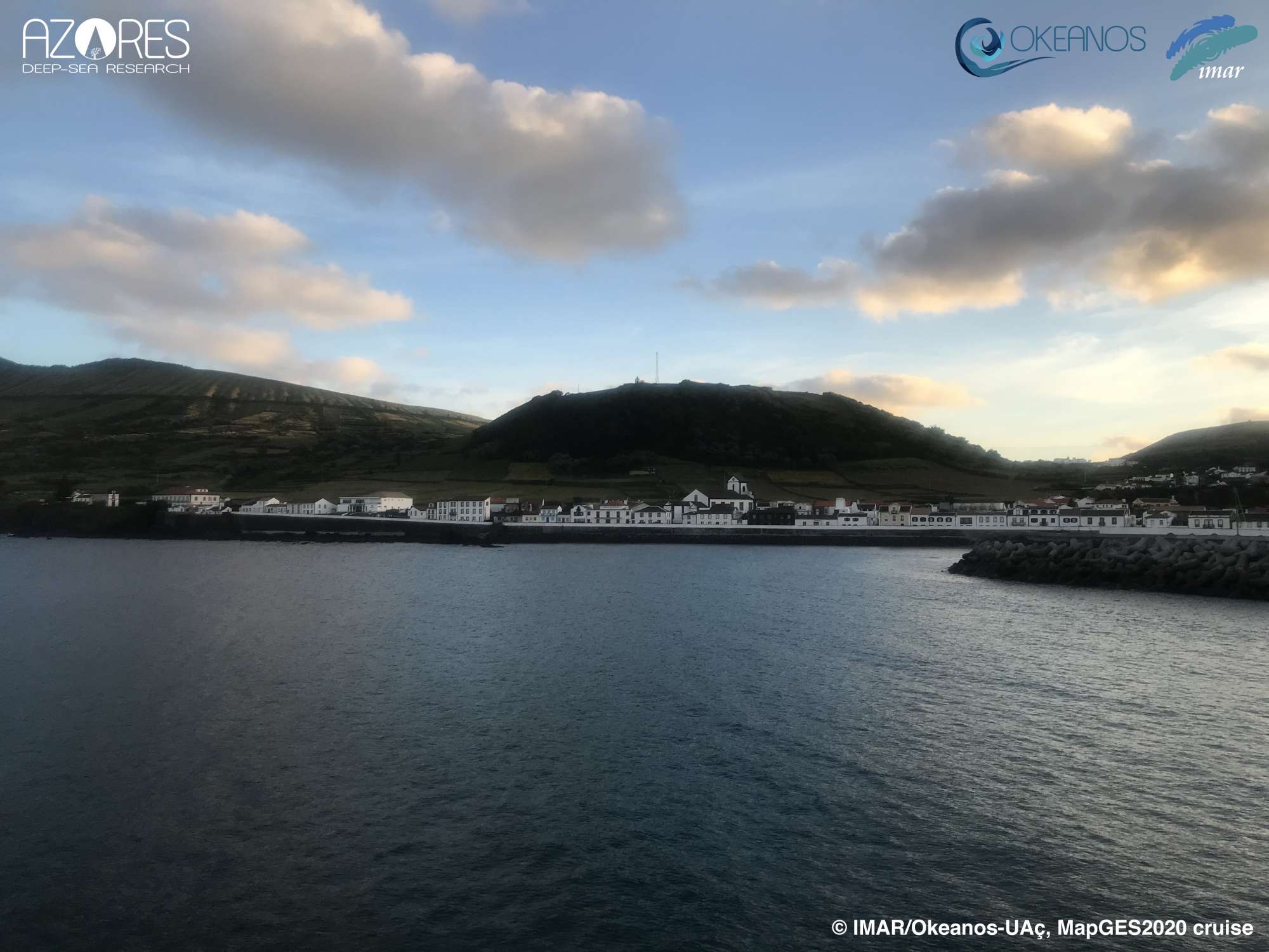
Graciosa, Terceira and south Faial (Central Azores EEZ)
| Leg | Period | Days at sea | Vessel | Departure | Return |
|---|---|---|---|---|---|
| ●1 | 22/08/2020 - 31/08/2020 | 10 | FV Galinha | Graciosa | Graciosa |
| ●2 | 24/09/2020 - 01/10/2020 | 8 | RV Arquipélago | Horta | Horta |
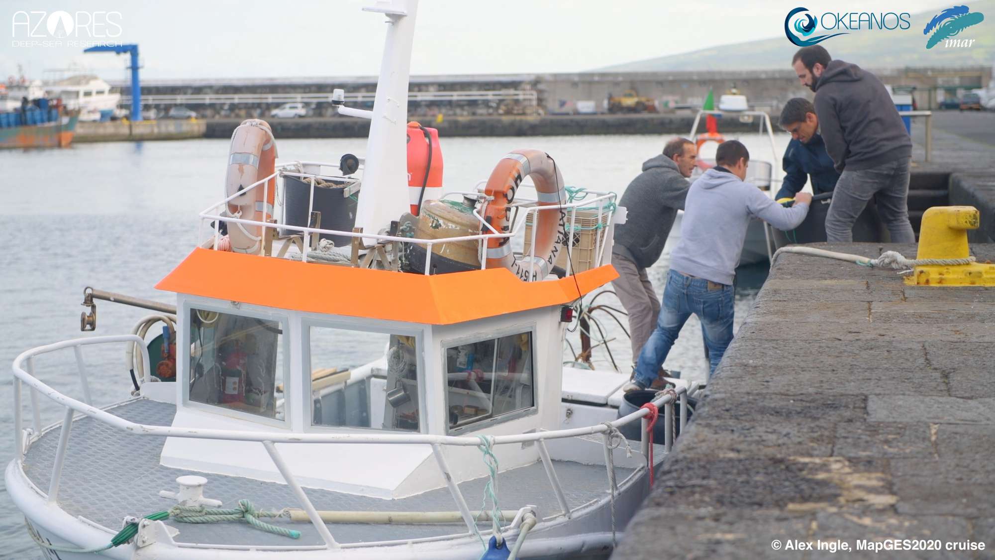
| ●3 | 14/10/2020 - 14/10/2020 | 1 | FV Tatiana | Horta | Horta |
| ●4 | 20/11/2020 - 26/11/2020 | 7 | RV Arquipélago | Horta | Horta |


Departamento de Oceanografia e Pescas
Rua Prof. Doutor Frederico Machado, 4
9901-862 Horta, Portugal