
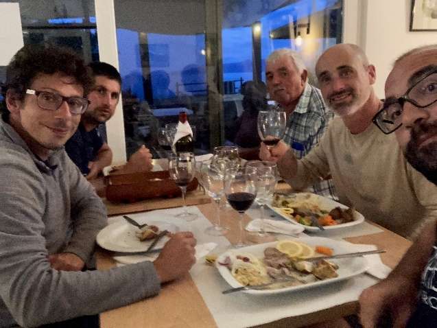
MapGES 2021 is the continuation of our long term strategy to map deep-sea biodiversity and identify Vulnerable Marine Ecosystems (VMEs) in the Azores using the Azor drift-cam system. This year, we were only able to operate with the RV Arquipelago around Faial, Pico and São Jorge islands and with the FV Gotimar around Corvo island. As in other MapGES cruise, the objectives were to (i) map benthic communities inhabiting unexplored seamounts, ridges and island slopes, (ii) identify new areas that fit the FAO Vulnerable Marine Ecosystem definition; and (iii) determine distribution patterns of deep-sea benthic biodiversity in the Azores. The results of this cruise added to the previous contributions to identify the environmental drivers that determine the spatial distribution of deep-sea benthic biodiversity in the Azores. It also provided valuable information in the context of Good Environmental Status (GES), Marine Spatial Planning (MSP) and provide new insights on how to sustainably manage deep-sea ecosystems.
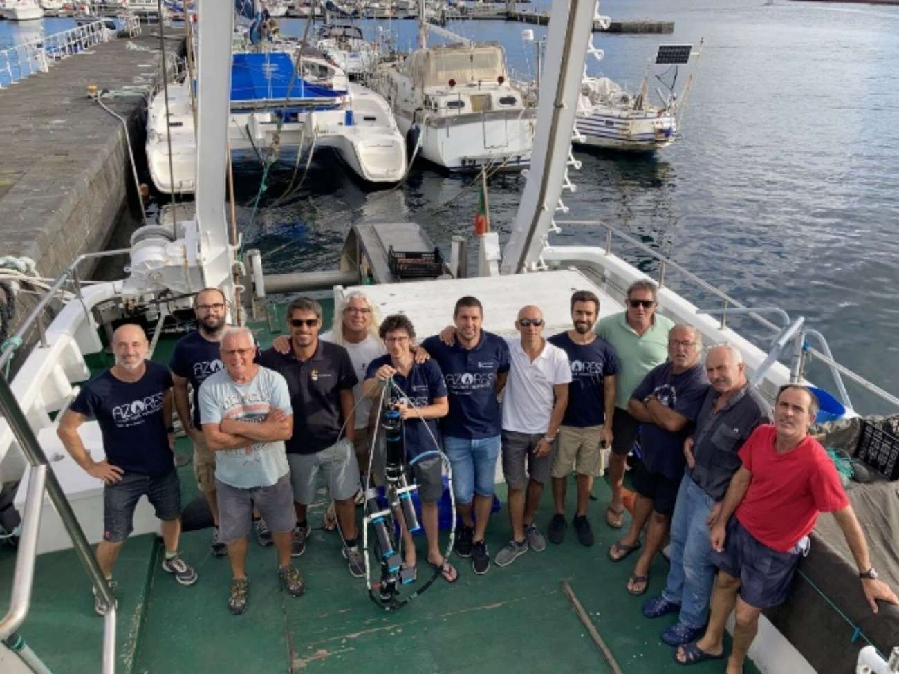
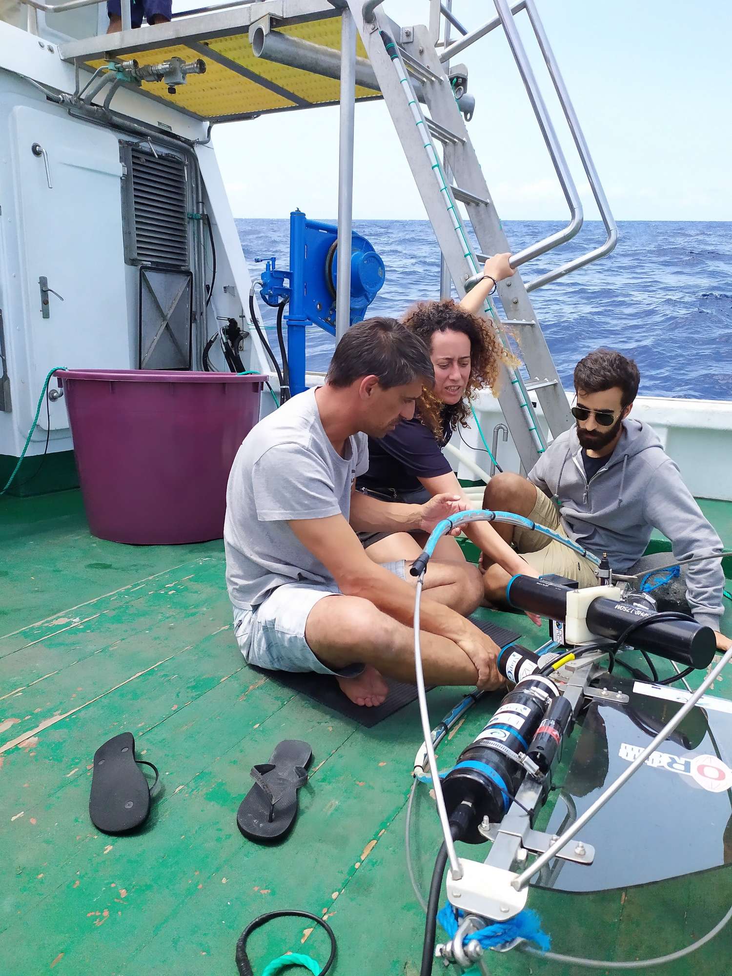
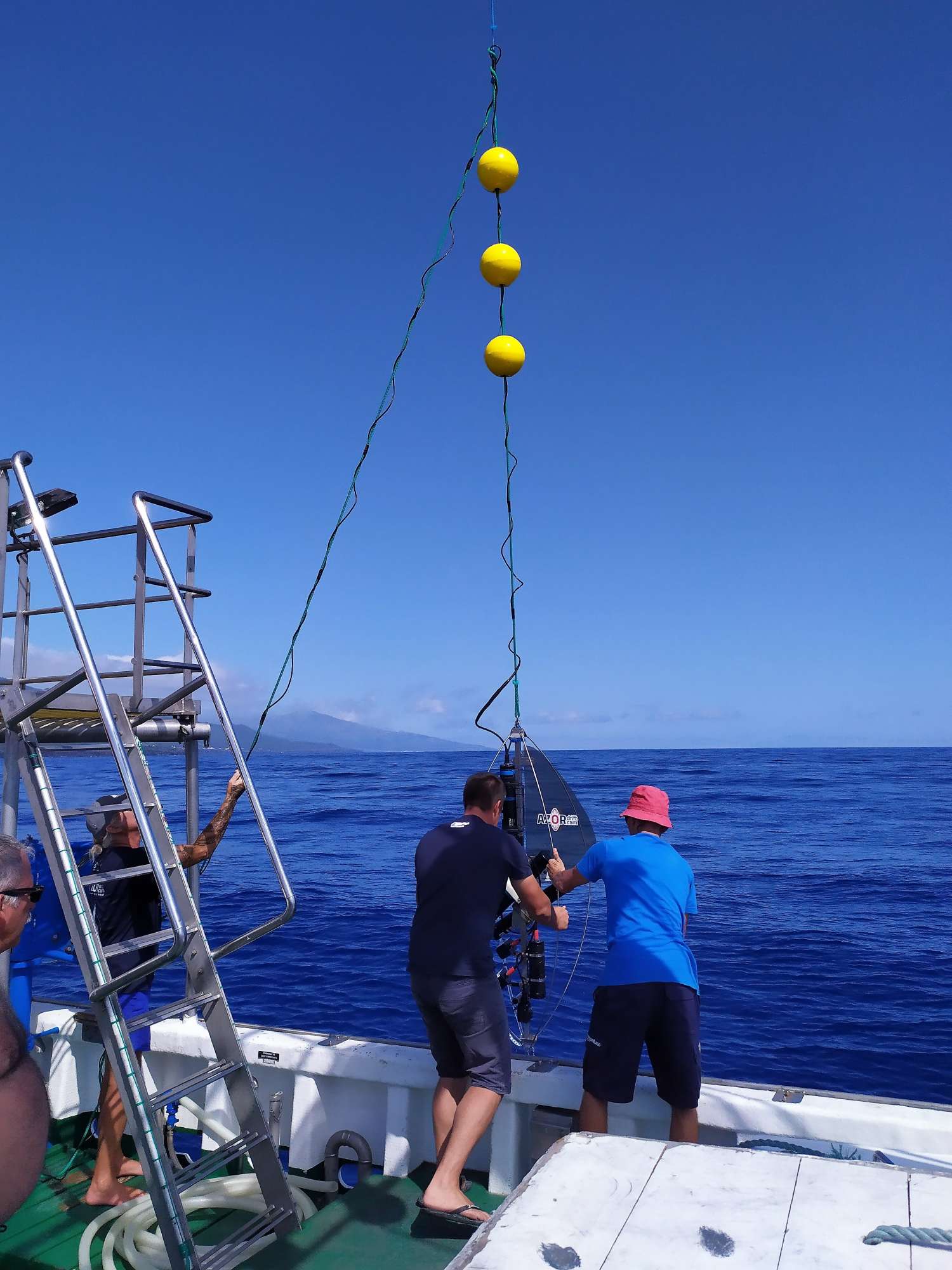
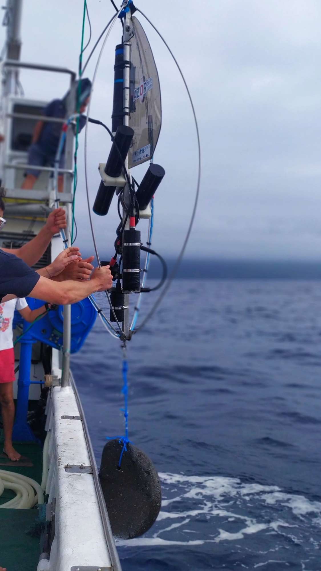
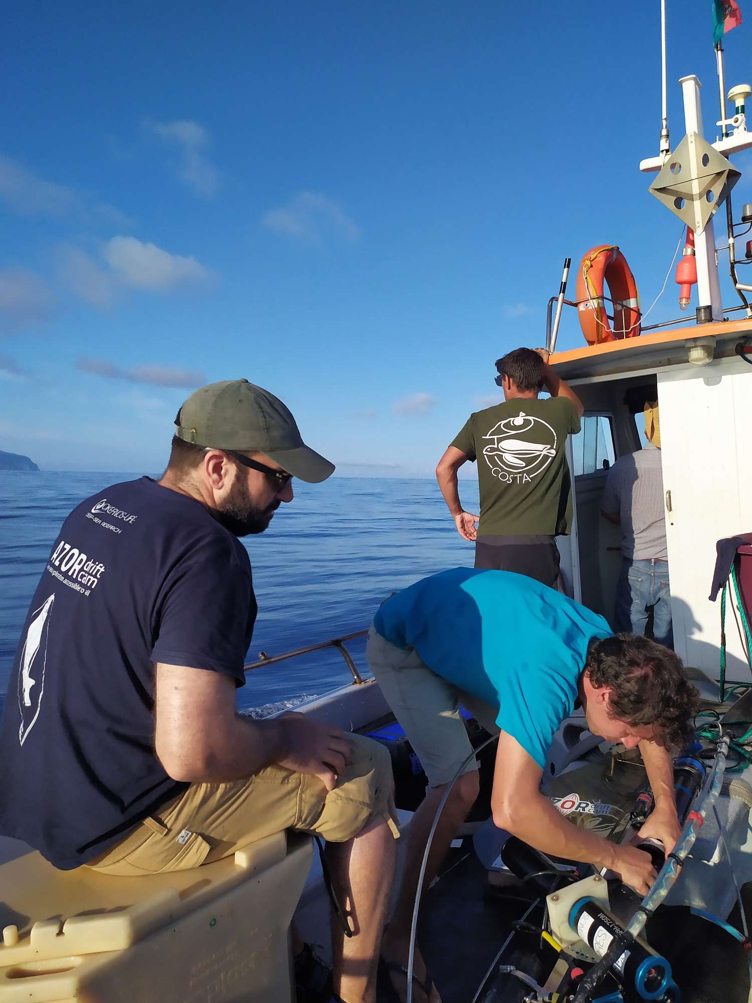
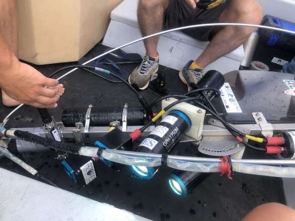
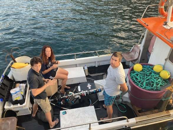
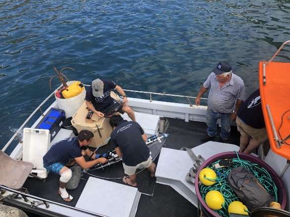
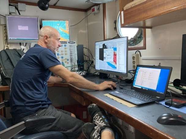
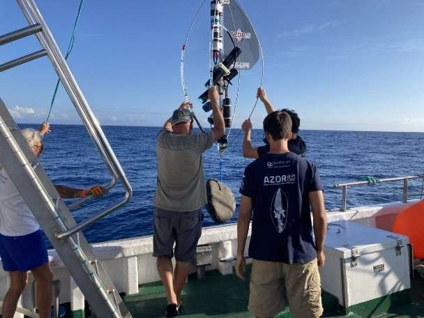
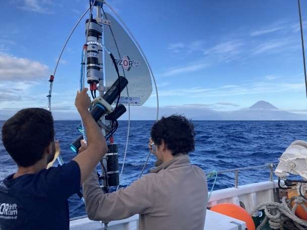
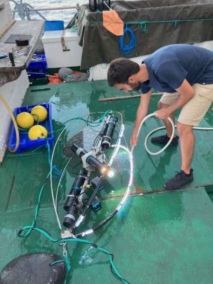
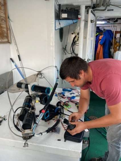
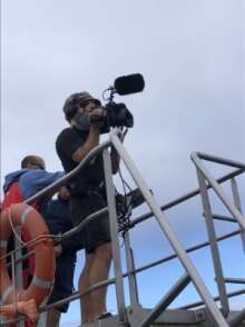
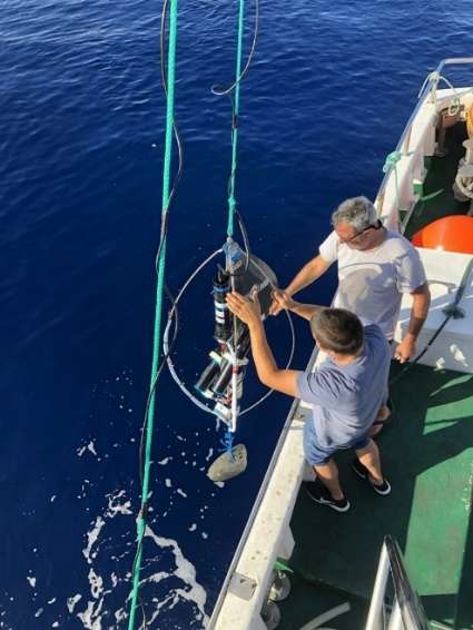
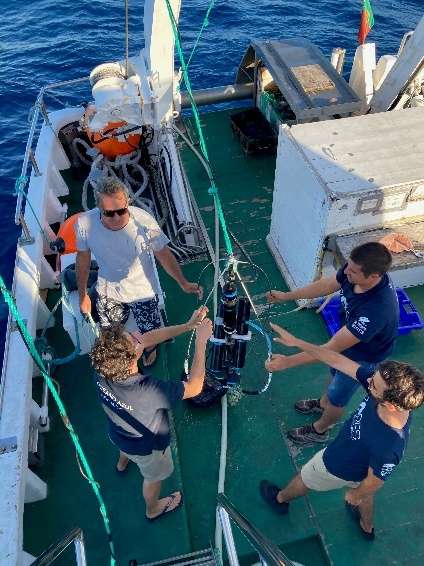
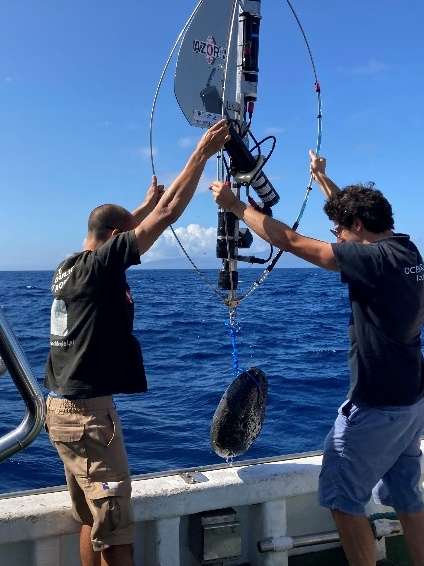
During the MapGES 2021 cruise we completed almost 150 underwater video transects between 100 and 970 m depth with the Azor drift-cam, adding up to around 150 new hours of underwater video footage of seabed habitats. As in previous years, the presence of many lost fishing lines made our deep-sea exploration challenging. After having the Azor drift-cam caught on several lines, we managed to get free on all occasions with only minor damage. These collateral fishing impacts, which limit the acquisition of deep-sea biodiversity data to inform management, deserve to be better quantified.
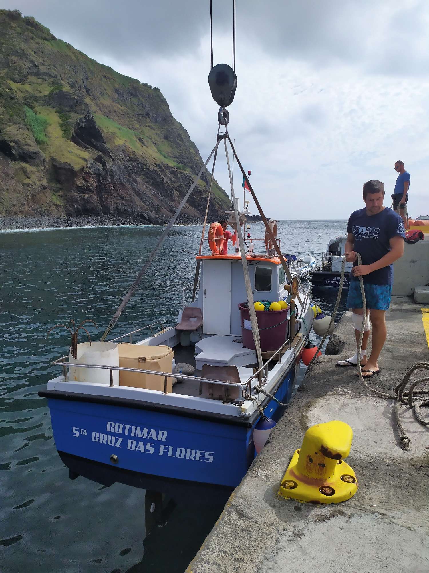
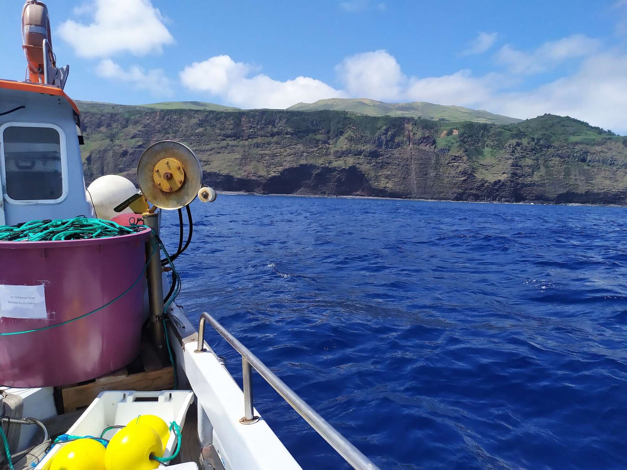
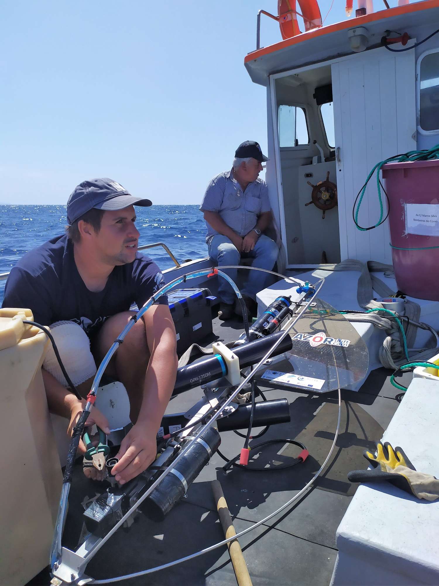
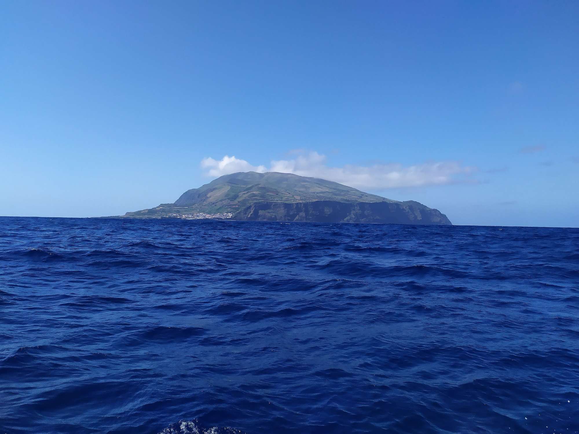
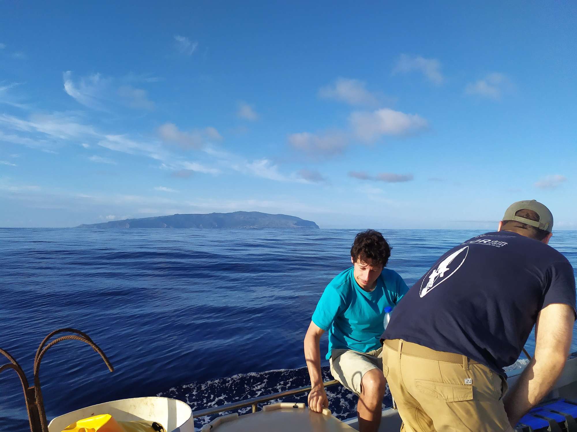
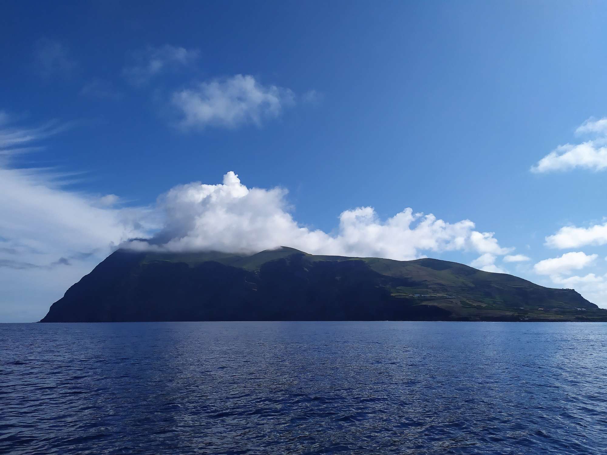
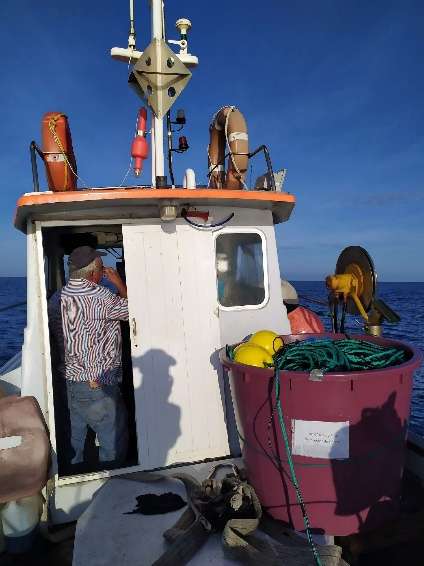
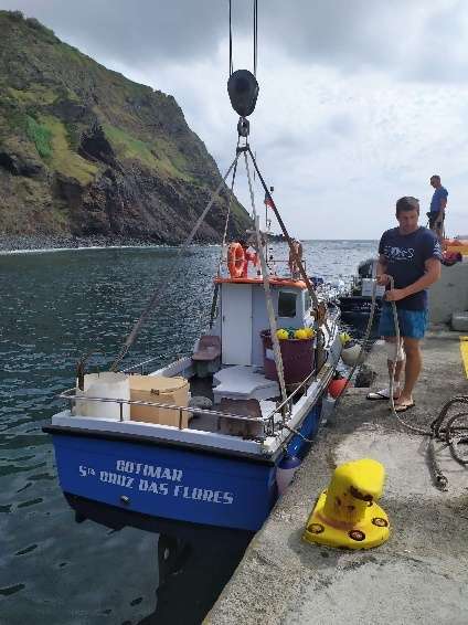
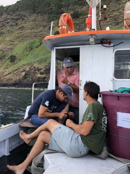
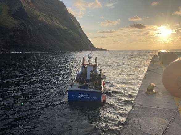
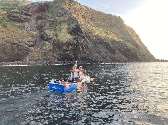
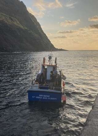
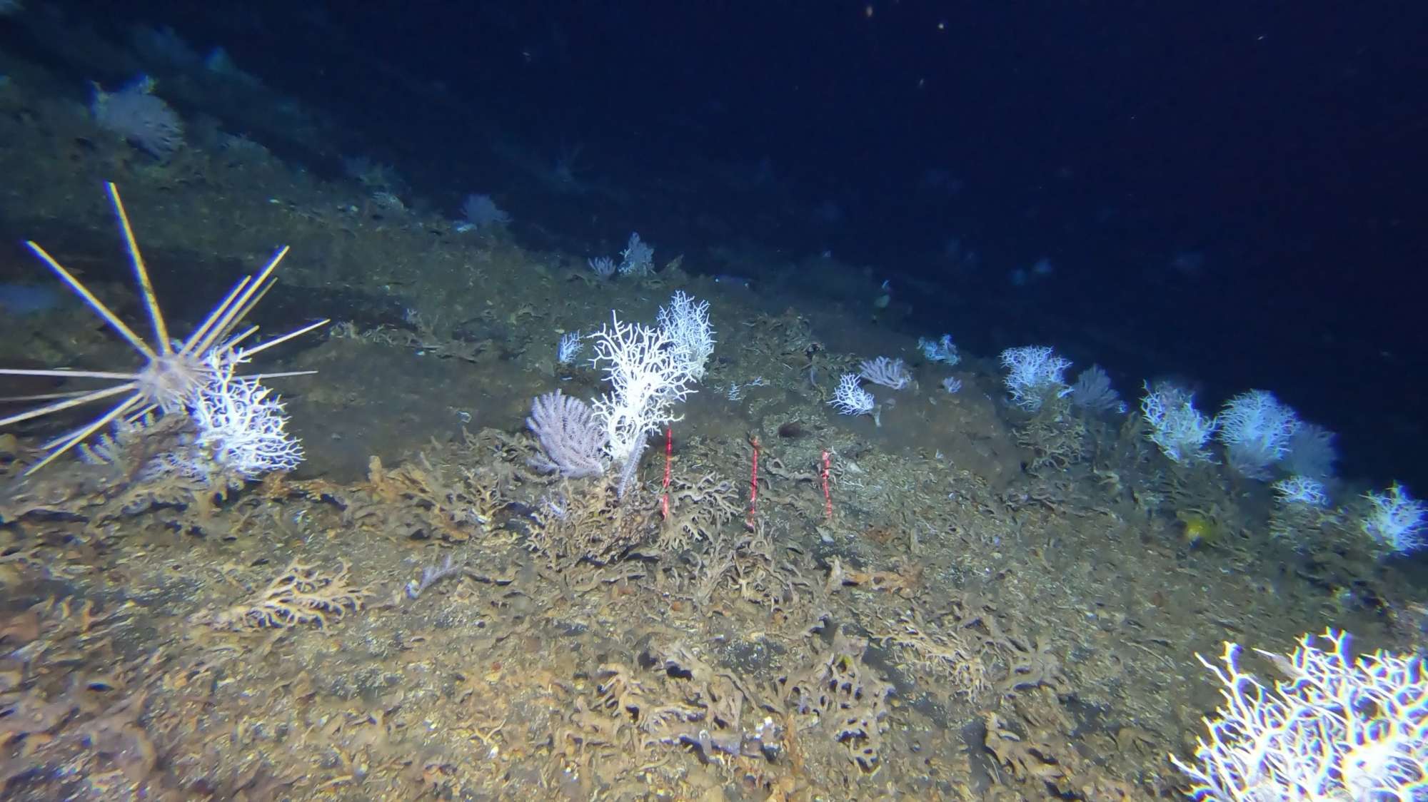
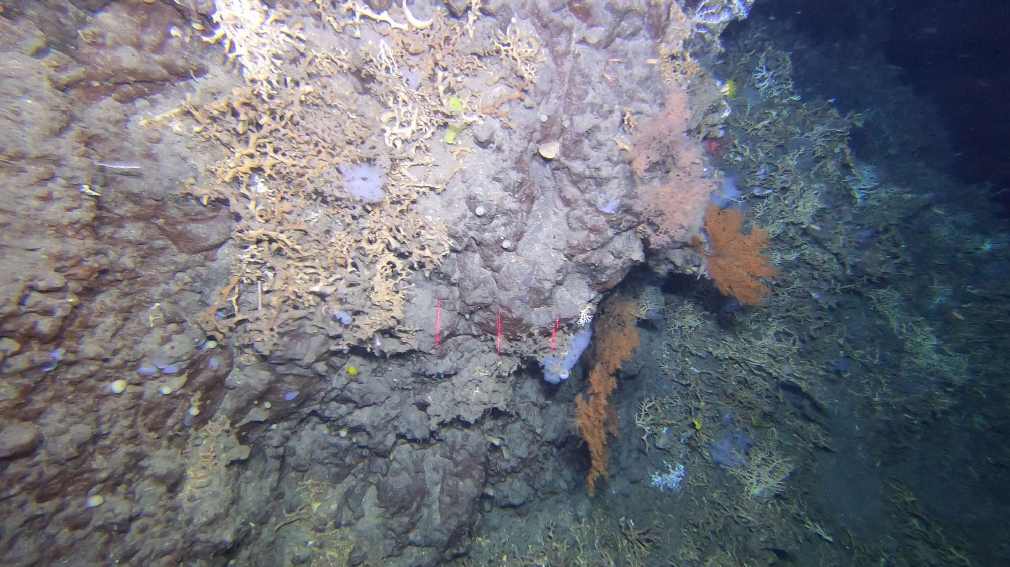
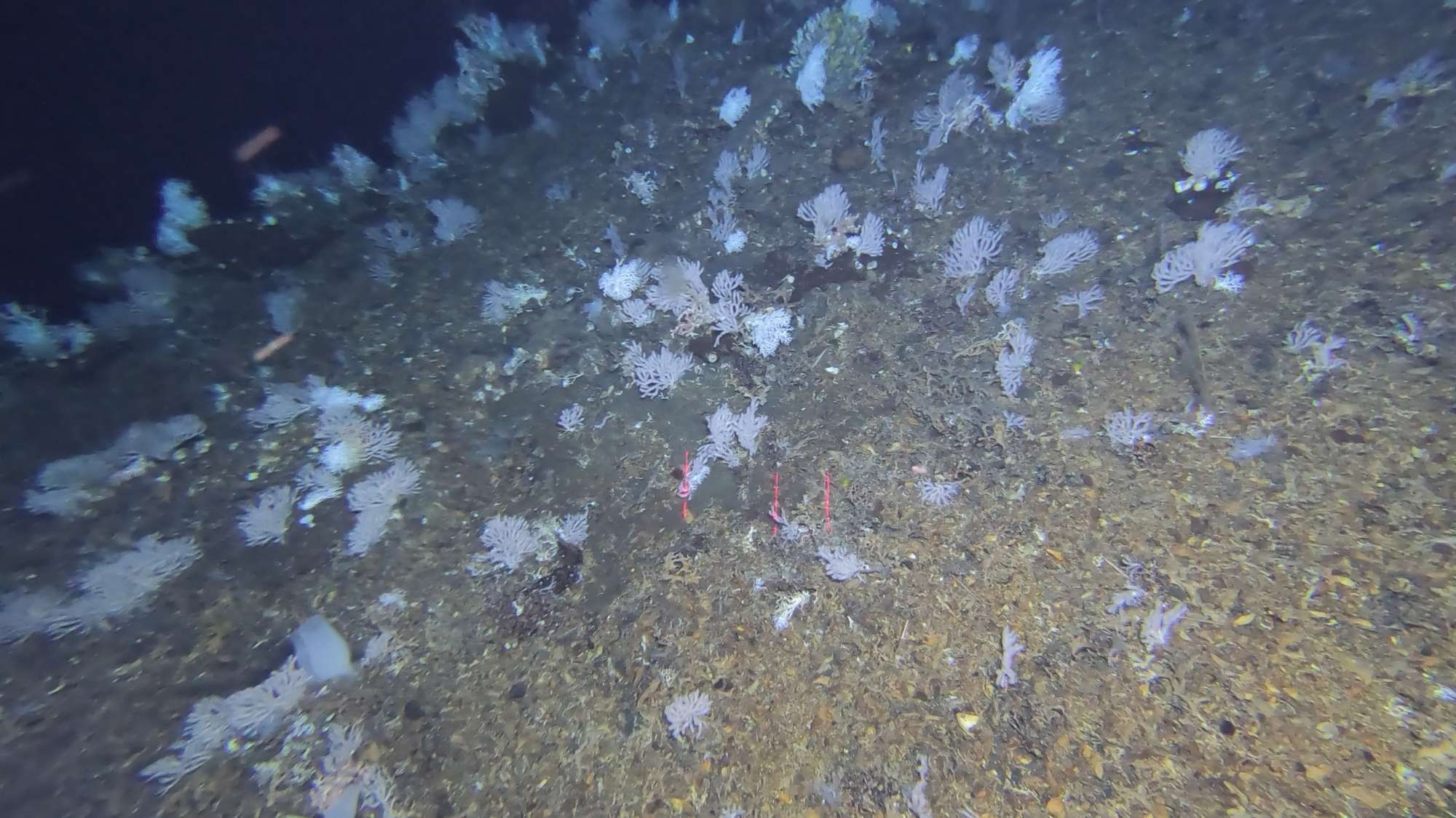
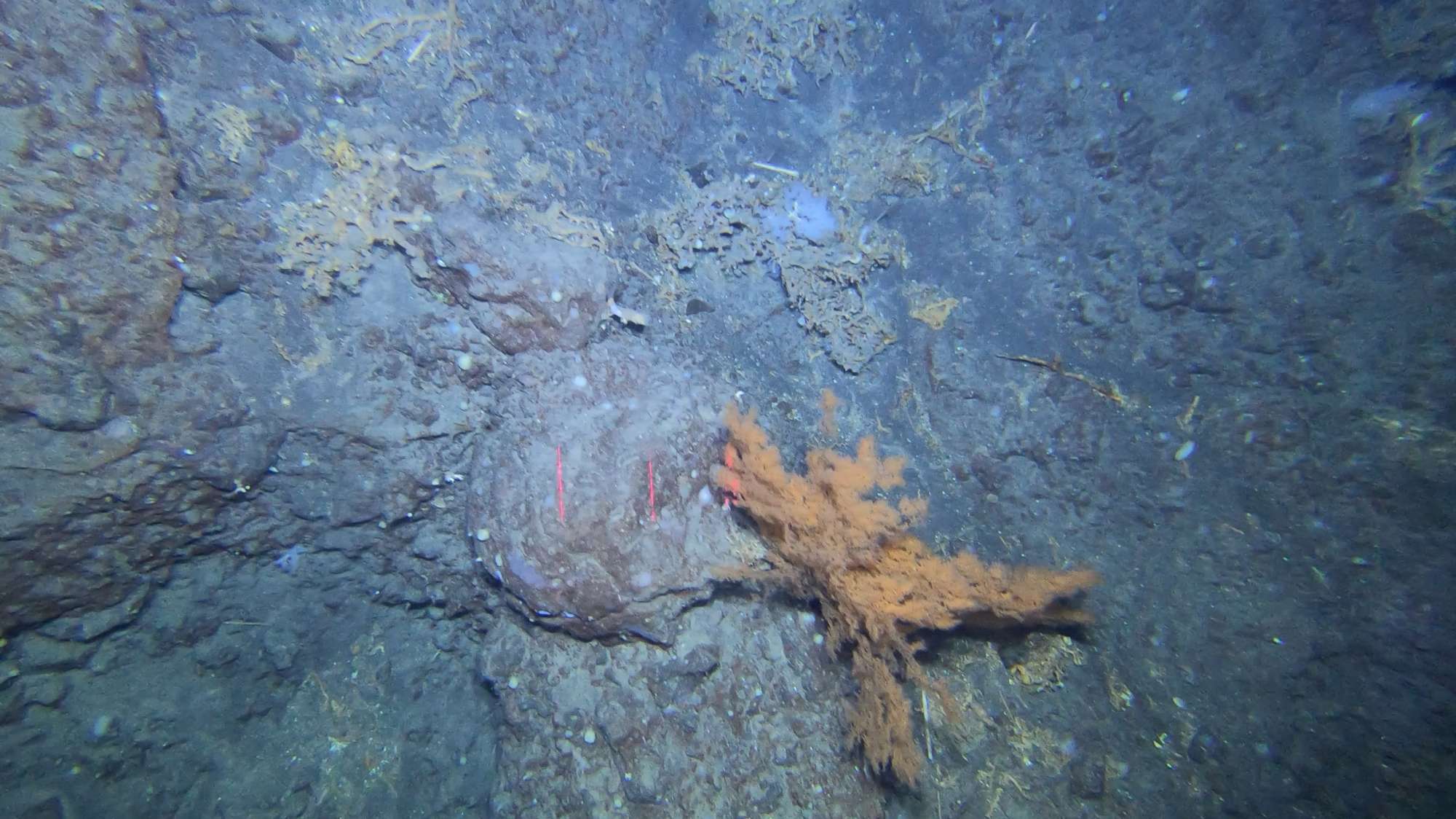
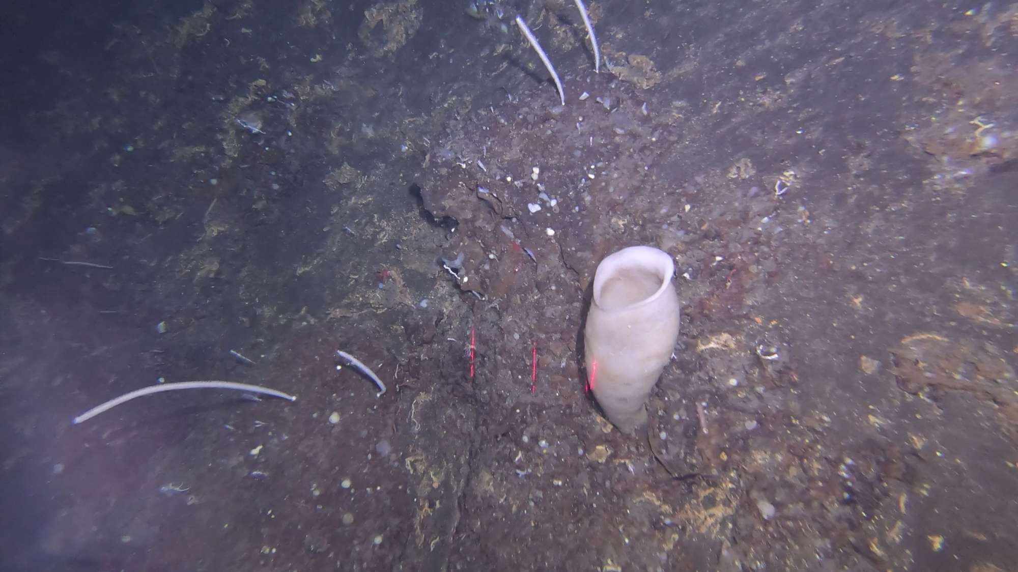
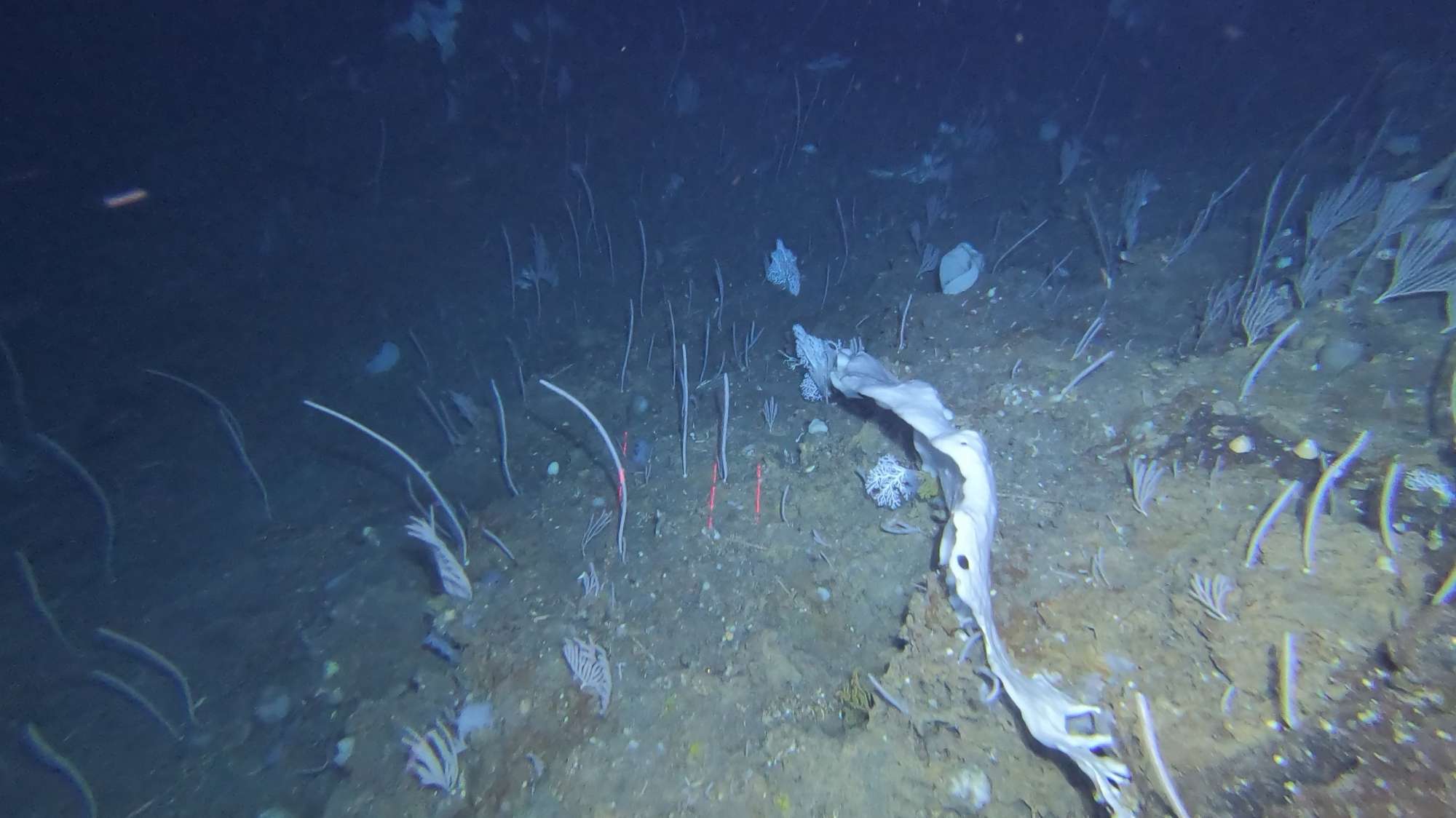
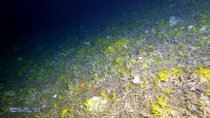
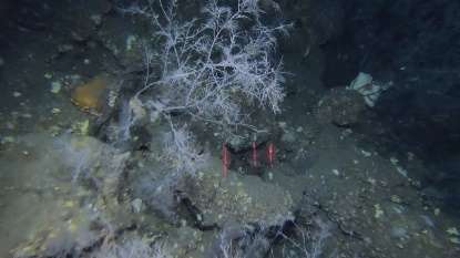
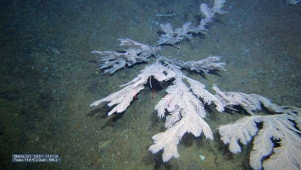
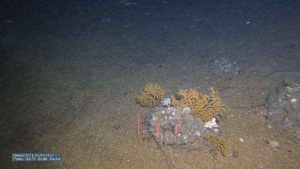
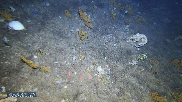
We completed the first visual survey of the slopes of Corvo island, with a total of 18 successful dives with the Azor drift-cam on board of a local fishing vessel, at depths between 130 and 970 m, covering the whole perimeter of the island. The slopes of Corvo island were mostly covered by soft sediments with some basaltic outcrops. In most areas explored, the octocorals Viminella flagellum and Acanthogorgia sp. formed large aggregations together with the demosponge Phakellia ventilabrum. Sporadically, and still within these gardens, we also observed small colonies of the fan-shaped octocoral Dentomuricea aff. meteor and the “bubblegum” coral Paragorgia johnsoni. The black coral Elatopathes abietina was alos found on most of the dives, forming large but scattered aggregations, while the species Stichopathes gravieri, Parantipathes hirondelle and Leiopathes glaberrima were occasionally present.
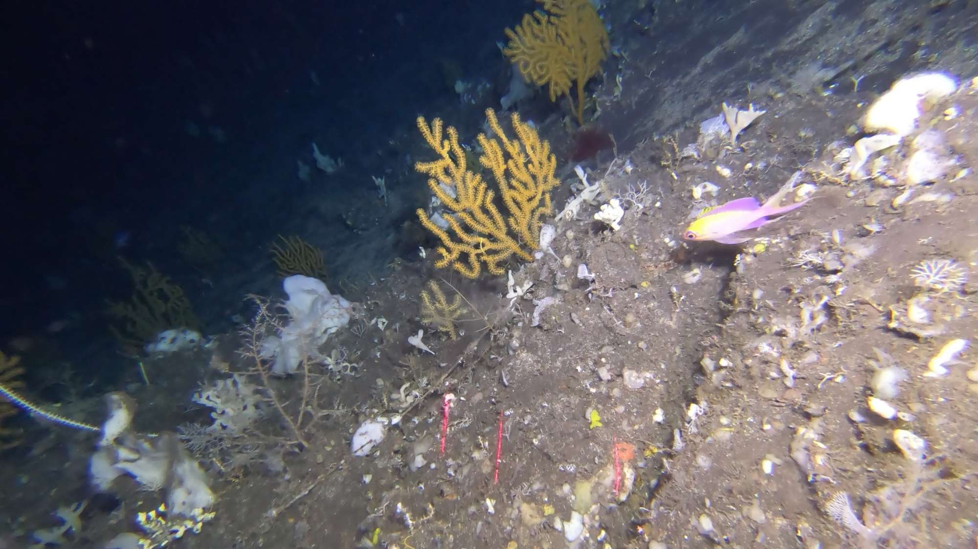
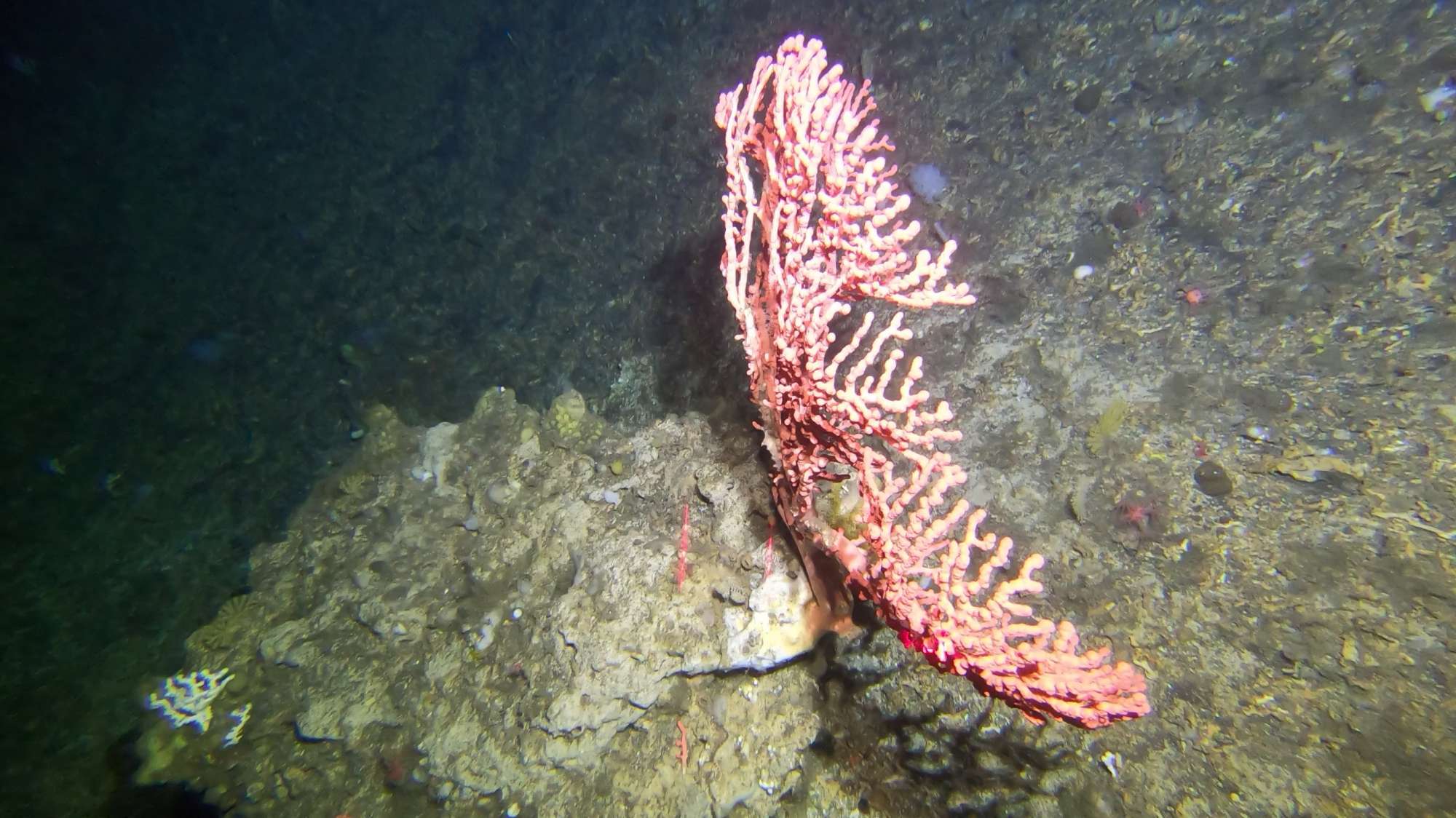
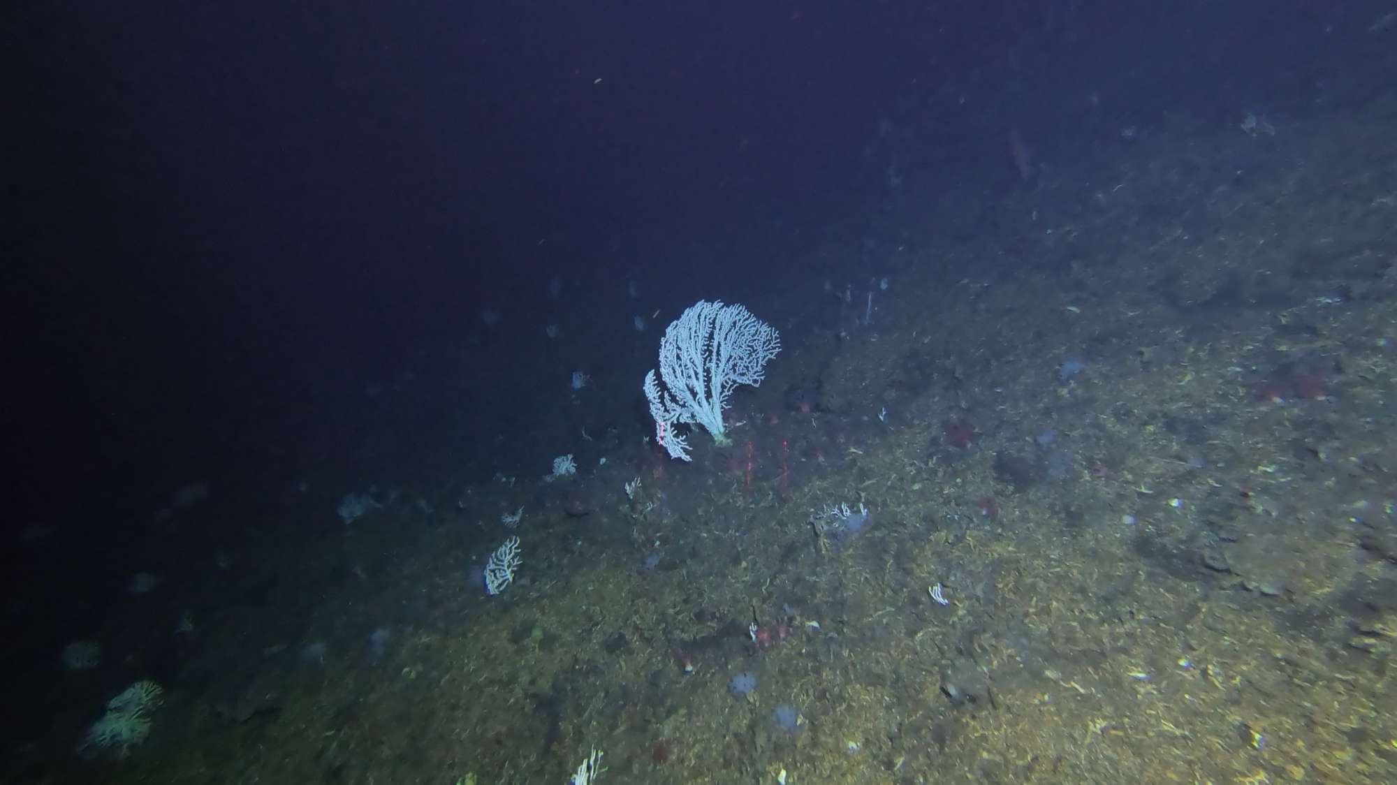
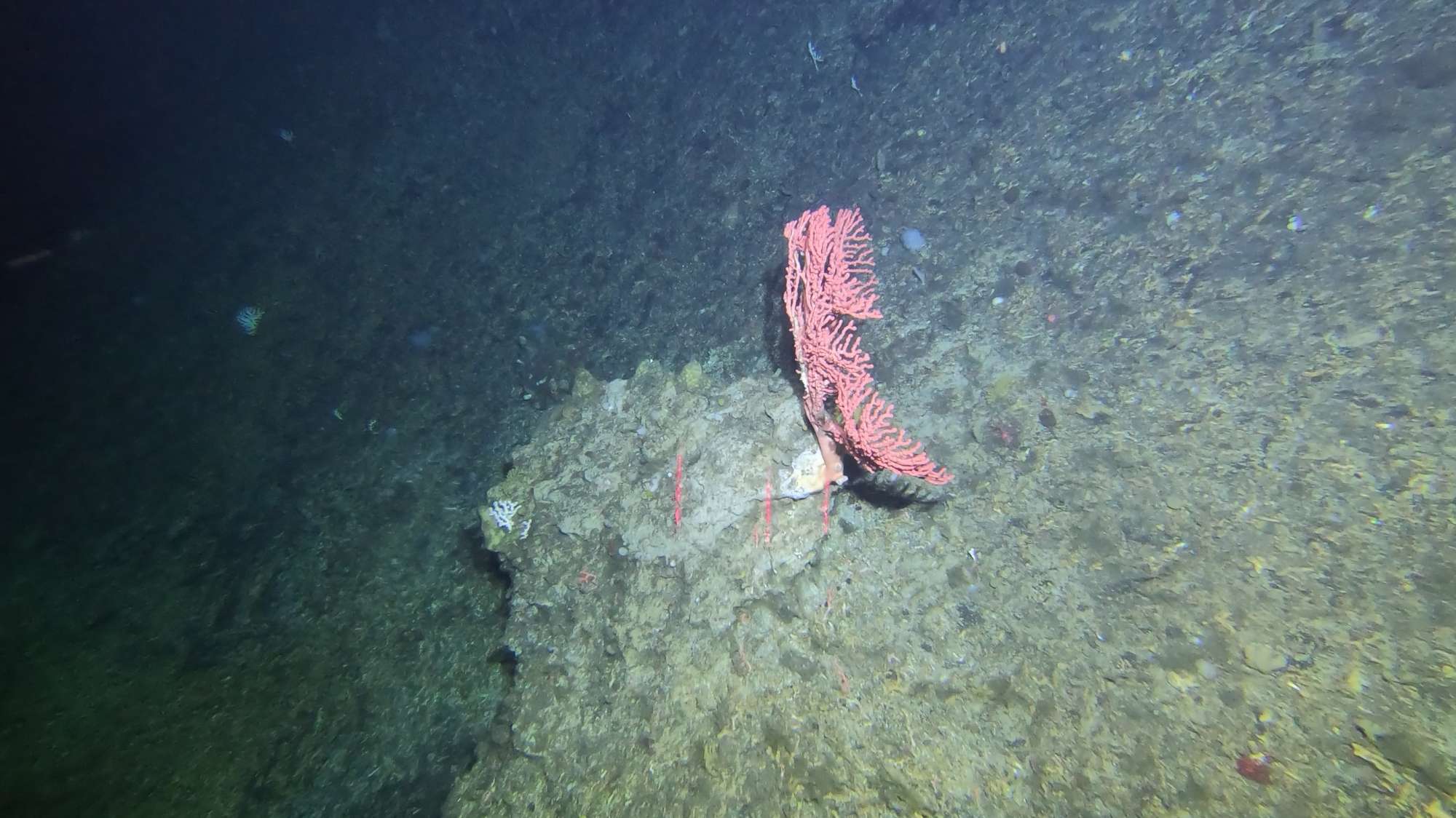
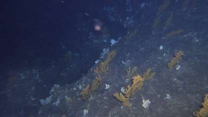
The island slopes around Faial island were mostly covered by soft sedimented and deposits of coral rubble at the base of the slopes, with marine snow visible on the water column. The small ridge in Faial NW (near Praia do Norte) hosted an impressive and diverse aggregation of Candidella imbricata and Errina atlantica, with other less abundant species such as Lophelia pertusa and Madrepora oculata, usually over a bed of dead coral framework. Hidden below the rocky overhangs, large colonies of the black coral Leiopathes cf. expansa were observed. This area also contained an assemblage of the “bubblegum” coral Paragorgia johnsoni in its usual red and white morphotypes. Some of the small seamounts of this area may fit some of the FAO criteria that define what constitutes a VME.
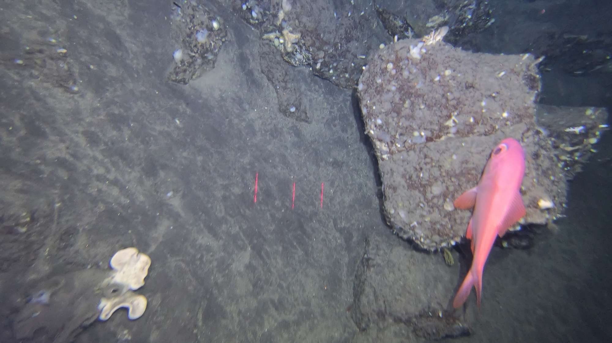
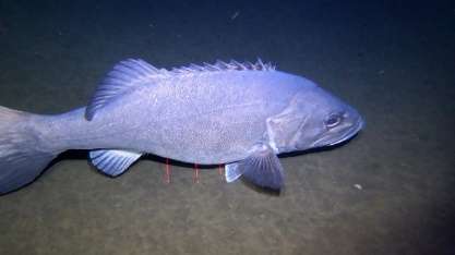
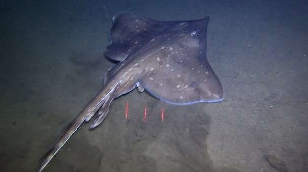
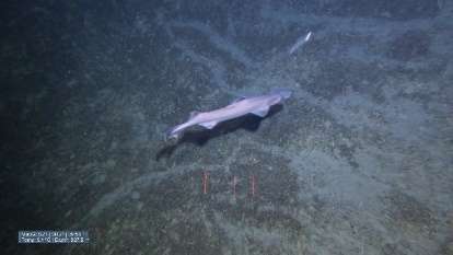
Throughout the dives conducted during this cruise, many commercially important fish species were commonly recorded, such as the bluemouth rockfish (Helicolenus dactylopterus), orange roughy (Hoplostethus atlanticus), silver roughy (Hoplostethus mediterraneus), and congers (Conger conger), reinforcing the idea of the slopes south of Faial Island as an important deep-sea area.
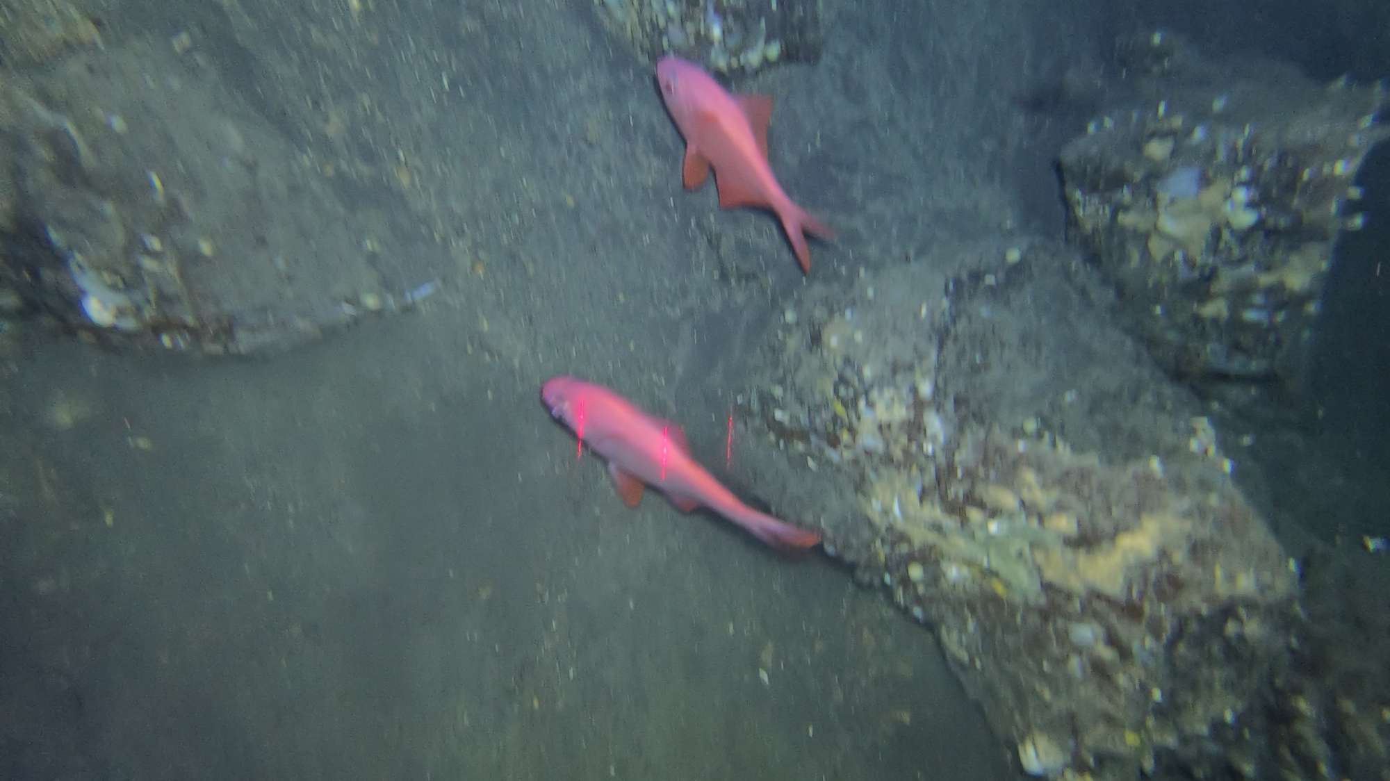
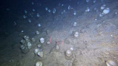
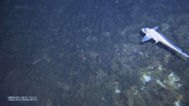
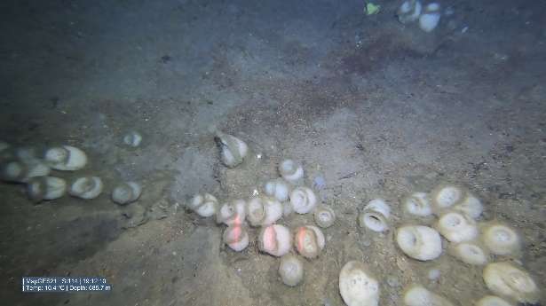
In the slopes south of Pico island, we observed several alfonsinos (Beryx decadactylus), one of the most valuable fish species in the Azores, with off-vessel prices reaching over 40 € per kilo. Among the vast range of coral species present in the areas, an impressive black coral colony of the genus Bathypathes was observed in Baixo de São Mateus. A vast aggregation of the bird’s nest sponge Pheronema carpenteri was also discovered in this area.
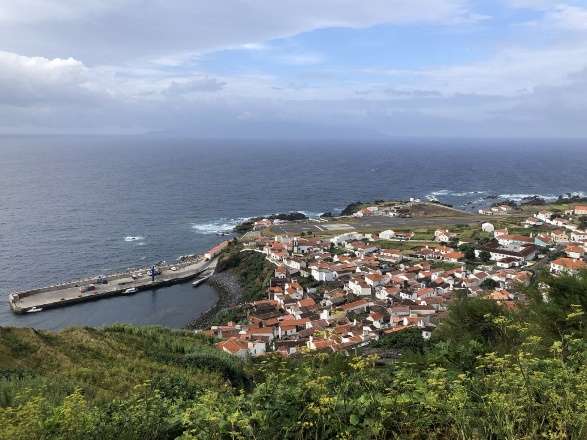
Faial and Pico island (Central Azores) and Corvo Island (Western Azores)
| Leg | Period | Days at sea | Vessel | Departure | Return |
|---|---|---|---|---|---|
| ●1 | 15/07/2021 - 30/07/2021 | 16 | RV Arquipélago | Horta | Horta |
| ●2 | 10/08/2021 - 16/08/2021 | 7 | FV Gotimar | Corvo | Corvo |
| ●3 | 25/08/2021 - 15/09/2021 | 22 | Arquipélago | Horta | Horta |


Departamento de Oceanografia e Pescas
Rua Prof. Doutor Frederico Machado, 4
9901-862 Horta, Portugal